Elevation of 17 Co Rd 18, Nevis, MN, USA
Location: United States > Minnesota > Hubbard County >
Longitude: -94.841512
Latitude: 46.9639834
Elevation: 450m / 1476feet
Barometric Pressure: 96KPa
Elevation Map:
Satellite Map:
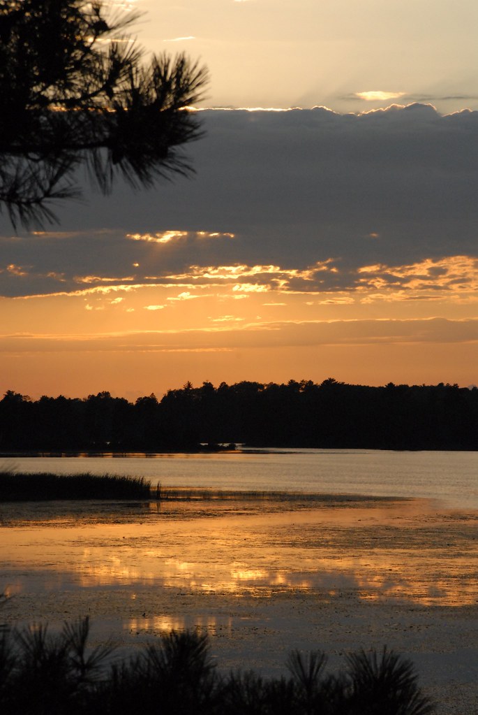
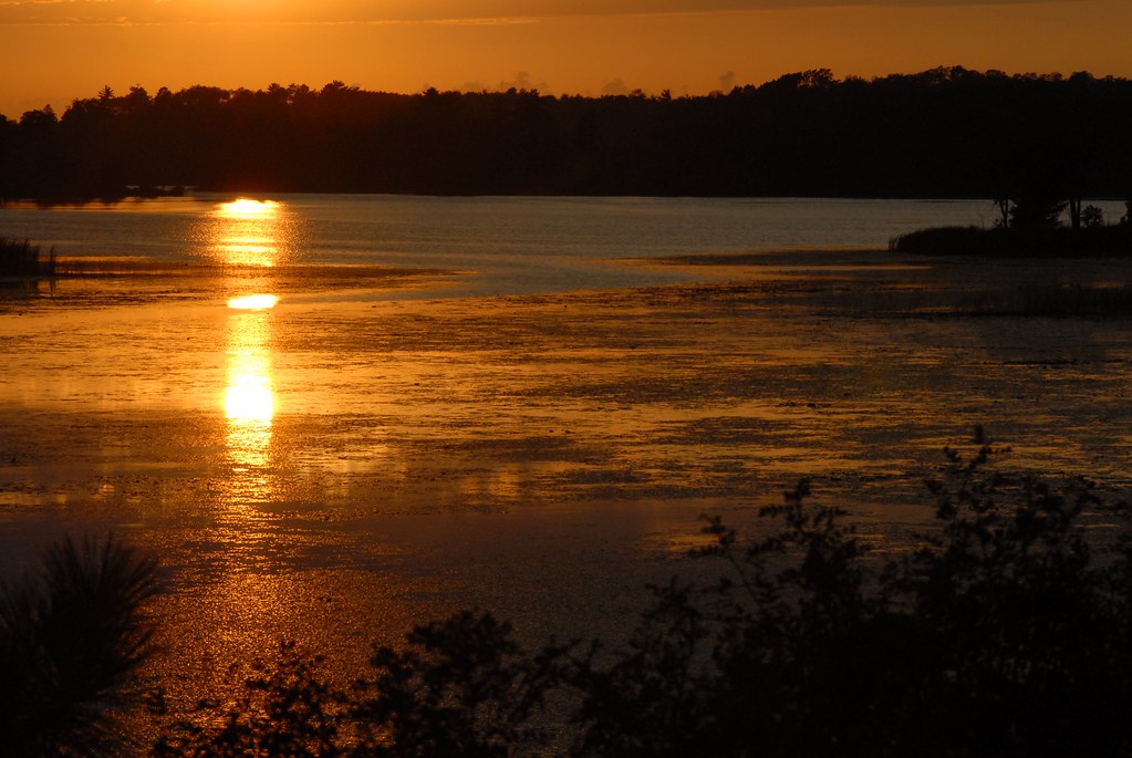
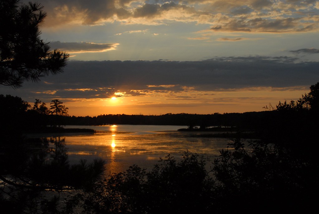
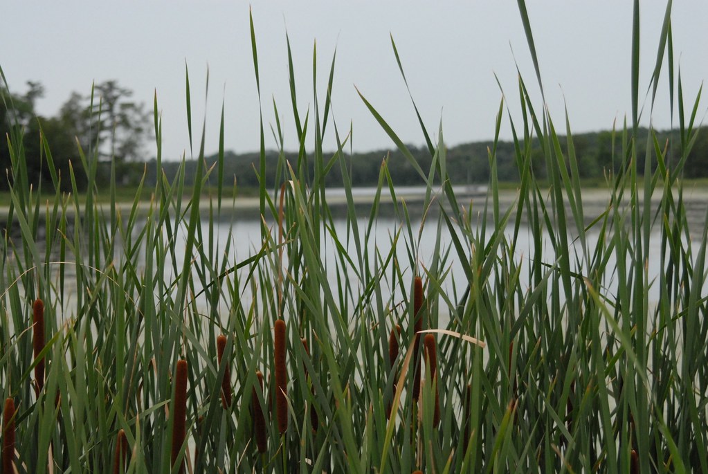
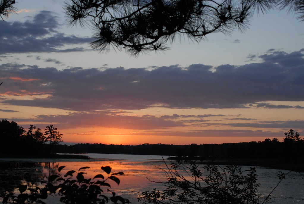
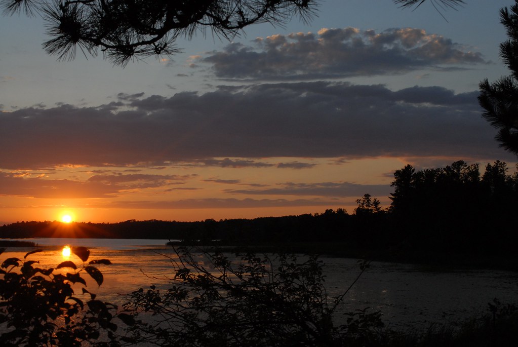
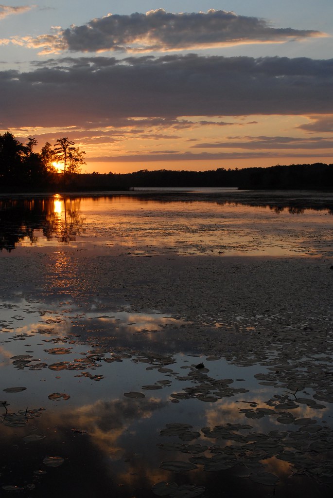
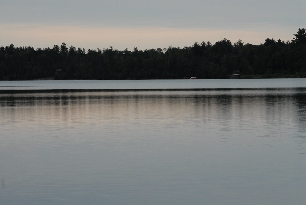
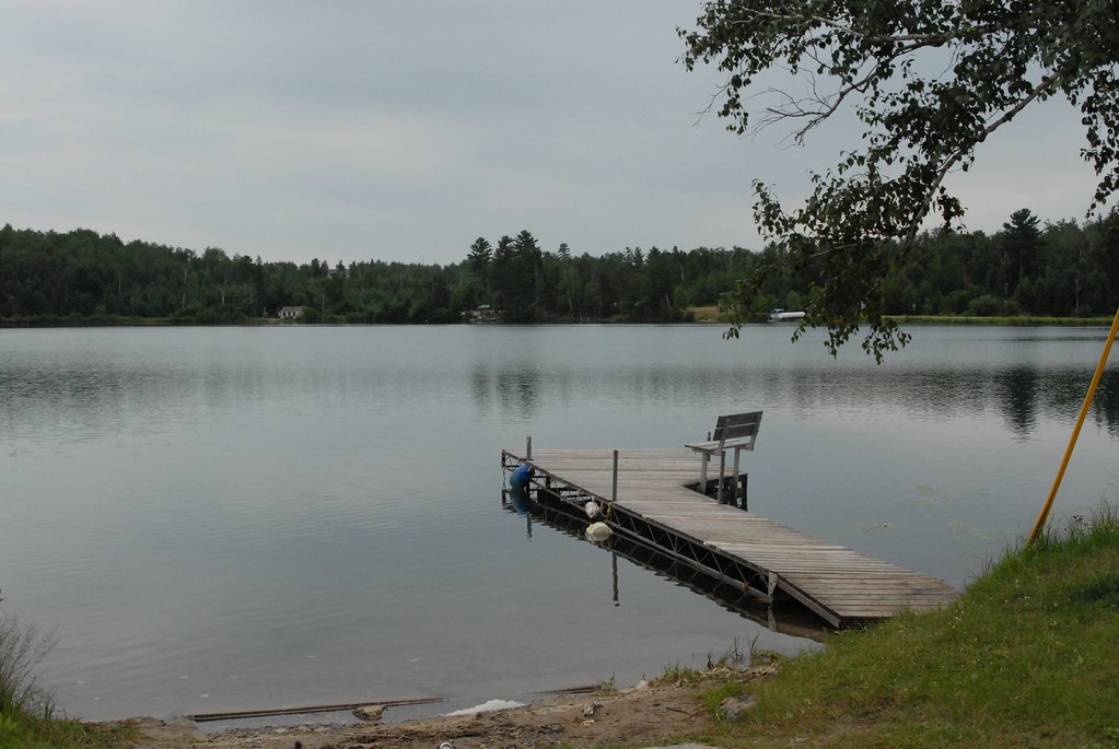
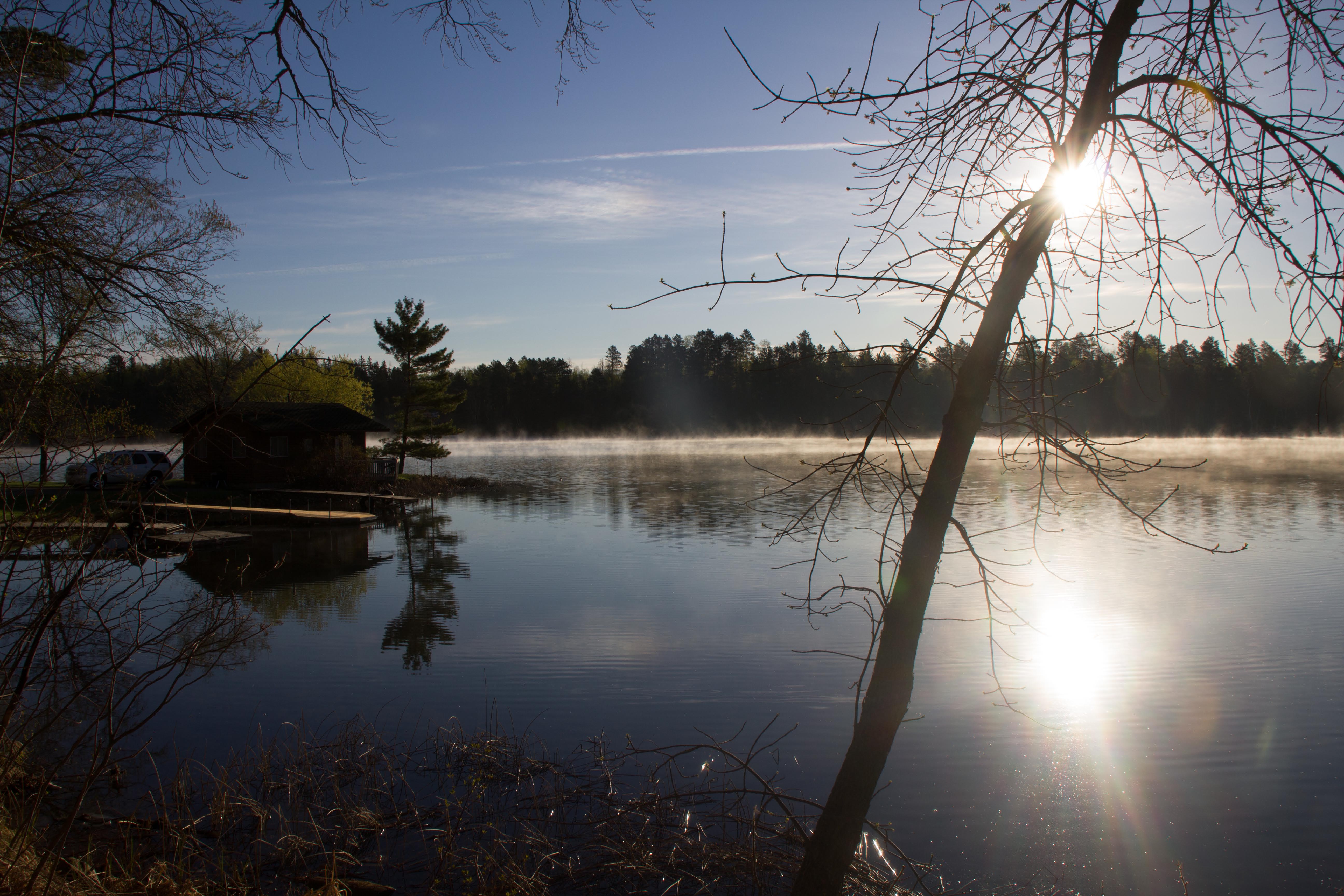
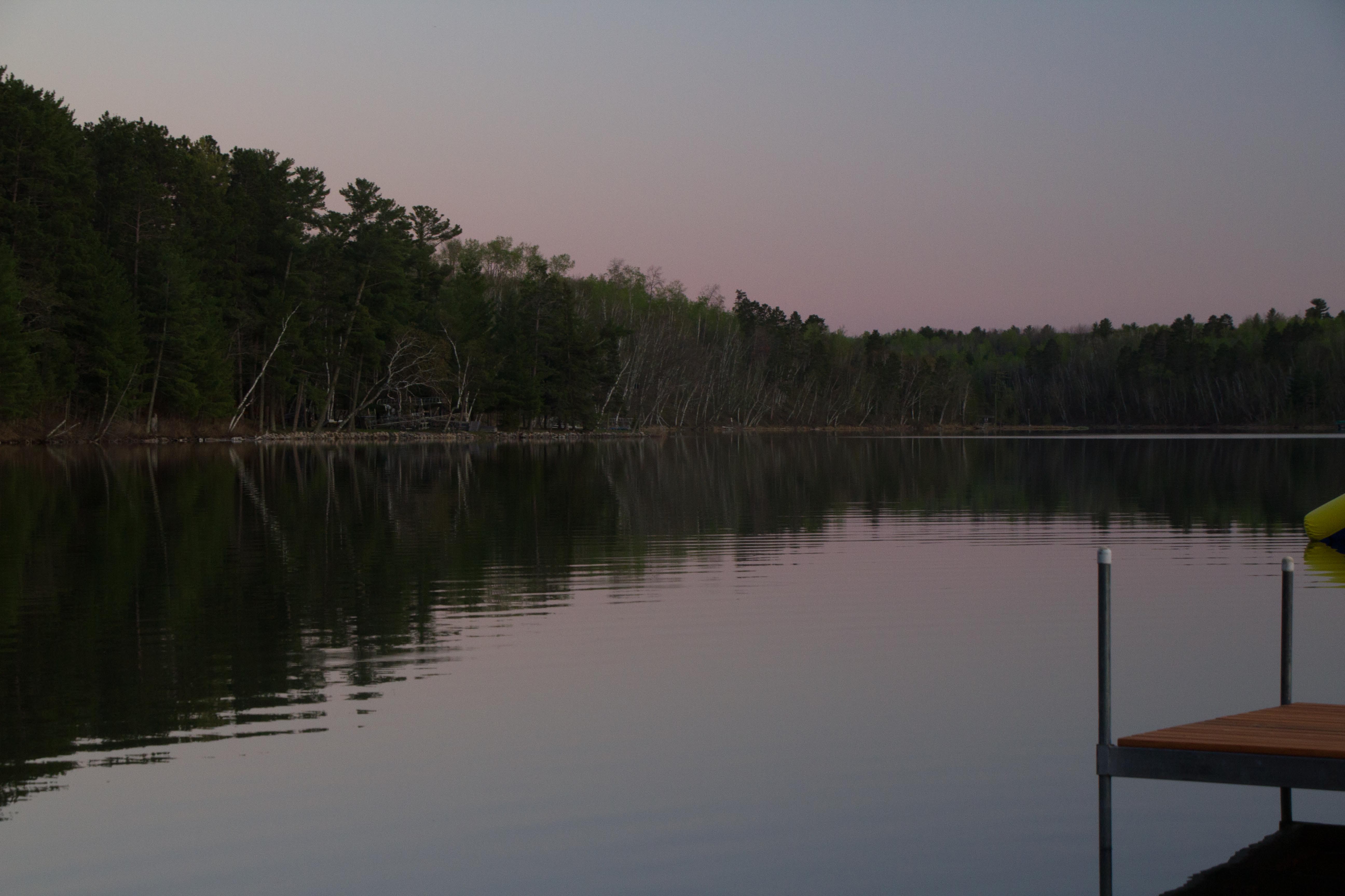
Related Photos:
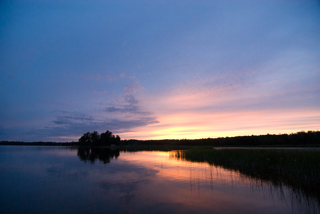
Sunset over the Island

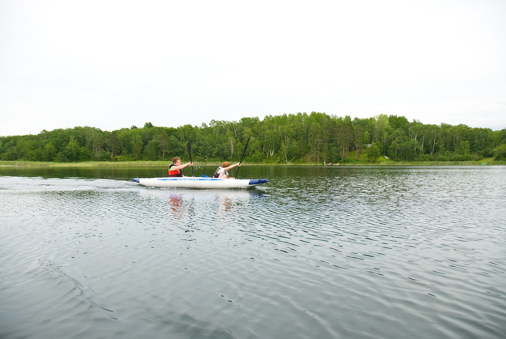
Steven on the Water

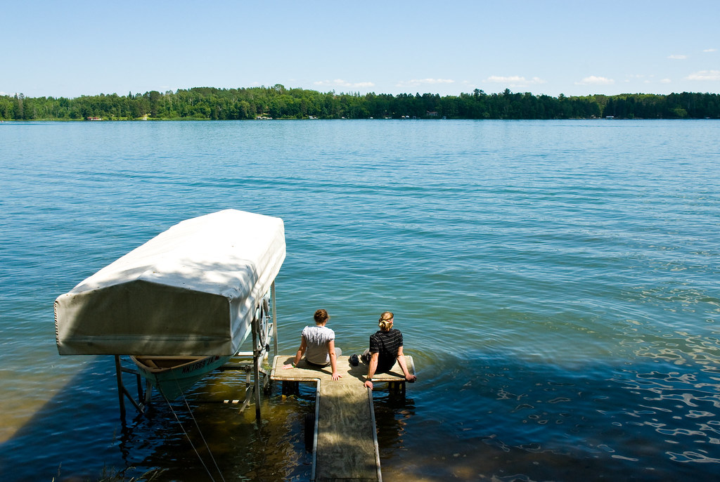
Calm Minnesota Dock
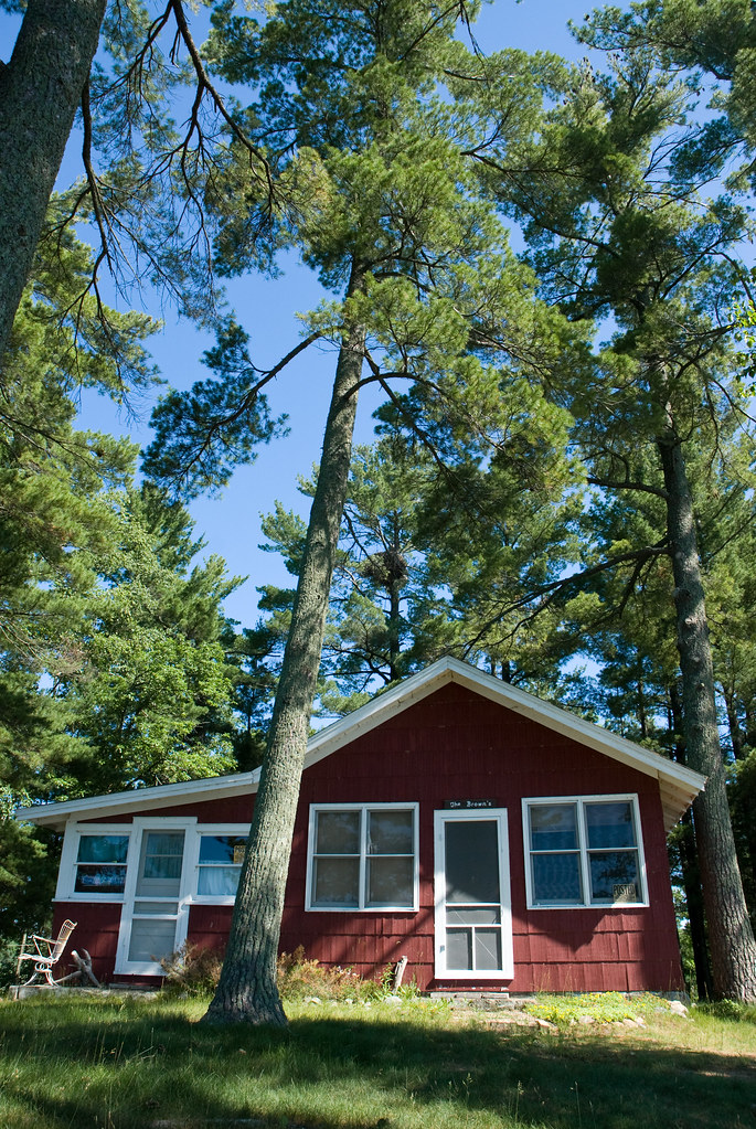
Island Cabin

Through the lake
Andy and Rebecca

Grandpa and the Mowers

Fishing on the Little Sand
Patrick and Rebecca

Northern Minnesota Vacation - 182
Northern Minnesota Vacation - 162
Northern Minnesota Vacation - 174
Northern Minnesota Vacation - 173
Northern Minnesota Vacation - 042

Northern Minnesota Vacation - 194

Northern Minnesota Vacation - 165
Northern Minnesota Vacation - 193
Northern Minnesota Vacation - 191
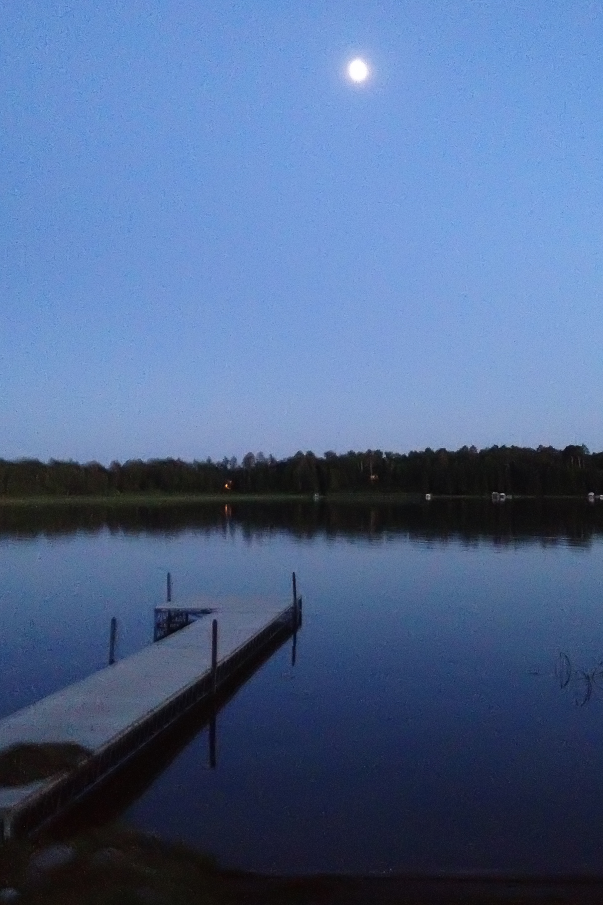
photo-2
Northern Minnesota Vacation - 185
Northern Minnesota Vacation - 033

Northern Minnesota Vacation - 160

sunset over the lake

Nevis, MN sunset
Northern Minnesota Vacation - 029
_MG_6759.CR2
_MG_6717.CR2

_MG_6719.CR2
Topographic Map of 17 Co Rd 18, Nevis, MN, USA
Find elevation by address:

Places near 17 Co Rd 18, Nevis, MN, USA:
19192 Echo Ridge Dr
White Oak Township
th St, Akeley, MN, USA
Emmaville
14402 Chippewa Loop
Hubbard Township
23577 360th St
Park Rapids
Shingobee Township
Lakeport Township
Hubbard County
Mississippi Rd, Laporte, MN, USA
Hendrickson Township
Hinds Lake
Otter Dr, Laporte, MN, USA
Straight River Township
Minnesota
Walker
State Hwy, Walker, MN, USA
Hackensack
Recent Searches:
- Elevation of Corso Fratelli Cairoli, 35, Macerata MC, Italy
- Elevation of Tallevast Rd, Sarasota, FL, USA
- Elevation of 4th St E, Sonoma, CA, USA
- Elevation of Black Hollow Rd, Pennsdale, PA, USA
- Elevation of Oakland Ave, Williamsport, PA, USA
- Elevation of Pedrógão Grande, Portugal
- Elevation of Klee Dr, Martinsburg, WV, USA
- Elevation of Via Roma, Pieranica CR, Italy
- Elevation of Tavkvetili Mountain, Georgia
- Elevation of Hartfords Bluff Cir, Mt Pleasant, SC, USA