Elevation of th St, Menahga, MN, USA
Location: United States > Minnesota > Wadena County > Menahga >
Longitude: -94.875650
Latitude: 46.7457976
Elevation: 419m / 1375feet
Barometric Pressure: 96KPa
Elevation Map:
Satellite Map:
Related Photos:

Crow Wing Canoe

Animal Agriculture Feedlot - Factory Farming

Softly Standing Out

Accidental Sculpture
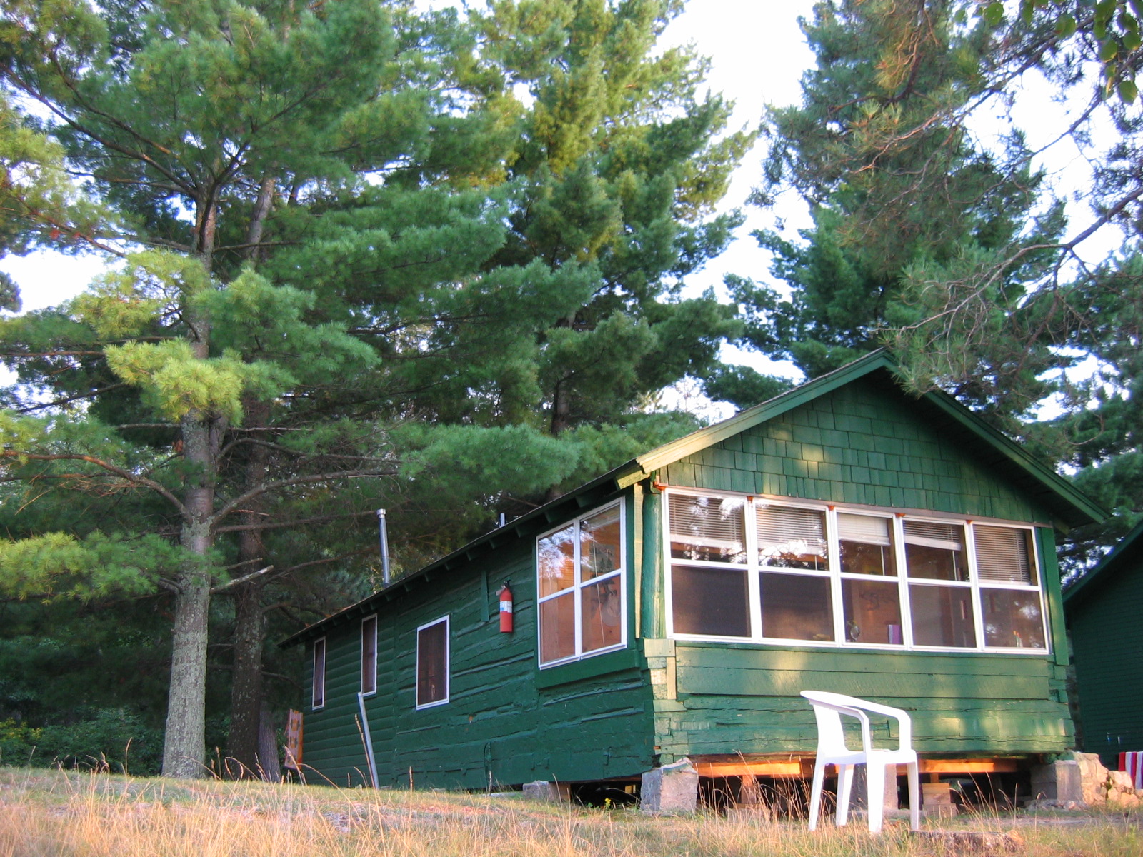
Big Timber Lodge Cabin

Example of Faceless #dogwood52 #dogwoodweek7

Backlit Wild Yellow Violet

Wild Lily of the Valley
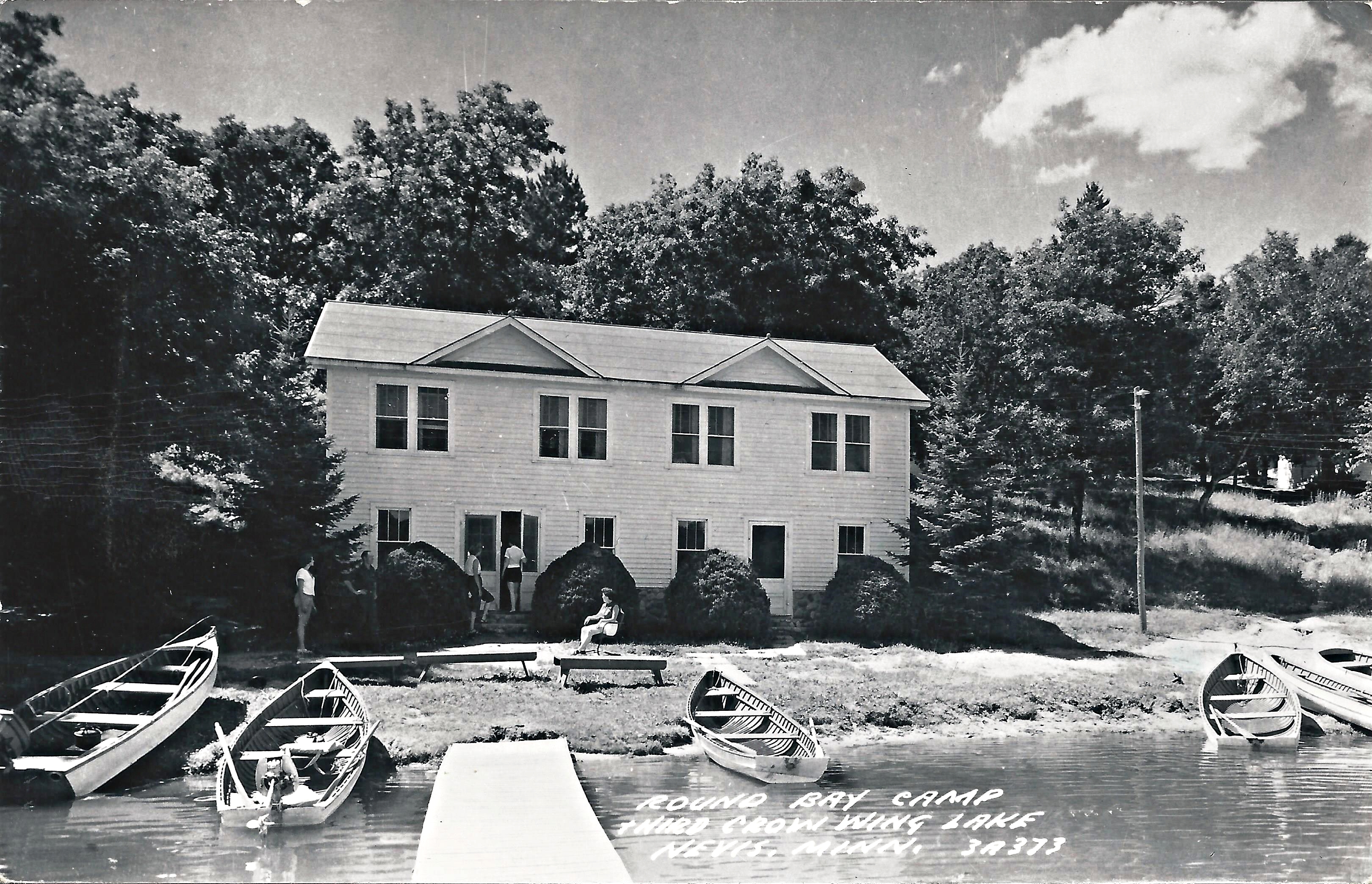
Nevis, Minnesota, Third Crow Wing Lake, Round Bay Camp
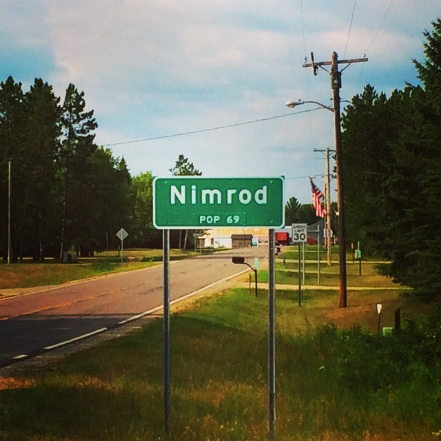
Not my first swing through Nimrod.

Return to Sender

Crow Wing Grass in Current

Yellow Flowers

Softly Standing Out

Where Are They Now?

TRAM10_5829.jpg

TRAM10_5822.jpg

TRAM10_5514.jpg
Topographic Map of th St, Menahga, MN, USA
Find elevation by address:

Places near th St, Menahga, MN, USA:
MN- Trunk, Sebeka, MN, USA
Wadena County
Hubbard Township
14402 Chippewa Loop
Minnesota
19192 Echo Ridge Dr
Hinds Lake
17 Co Rd 18, Nevis, MN, USA
th St, Akeley, MN, USA
Menahga
Straight River Township
12490 350th St
White Oak Township
Park Rapids
10130 Mn-87
80th St SW, Staples, MN, USA
Thomastown Township
Leaf River Township
Bell Hill Recovery Center
Emmaville
Recent Searches:
- Elevation of Corso Fratelli Cairoli, 35, Macerata MC, Italy
- Elevation of Tallevast Rd, Sarasota, FL, USA
- Elevation of 4th St E, Sonoma, CA, USA
- Elevation of Black Hollow Rd, Pennsdale, PA, USA
- Elevation of Oakland Ave, Williamsport, PA, USA
- Elevation of Pedrógão Grande, Portugal
- Elevation of Klee Dr, Martinsburg, WV, USA
- Elevation of Via Roma, Pieranica CR, Italy
- Elevation of Tavkvetili Mountain, Georgia
- Elevation of Hartfords Bluff Cir, Mt Pleasant, SC, USA