Elevation of Park Rapids, MN, USA
Location: United States > Minnesota > Hubbard County >
Longitude: -95.058632
Latitude: 46.9221813
Elevation: 438m / 1437feet
Barometric Pressure: 96KPa
Elevation Map:
Satellite Map:
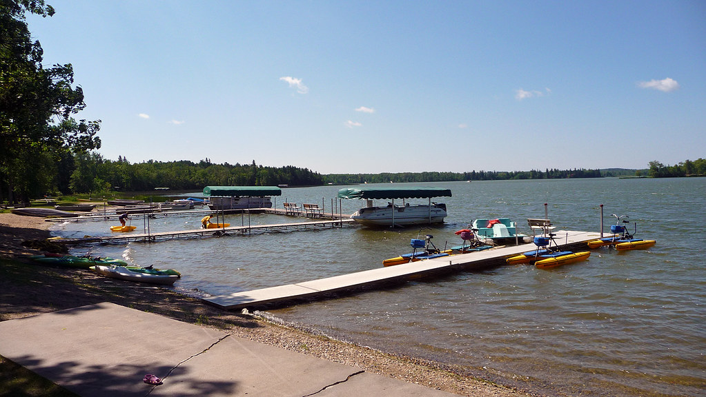
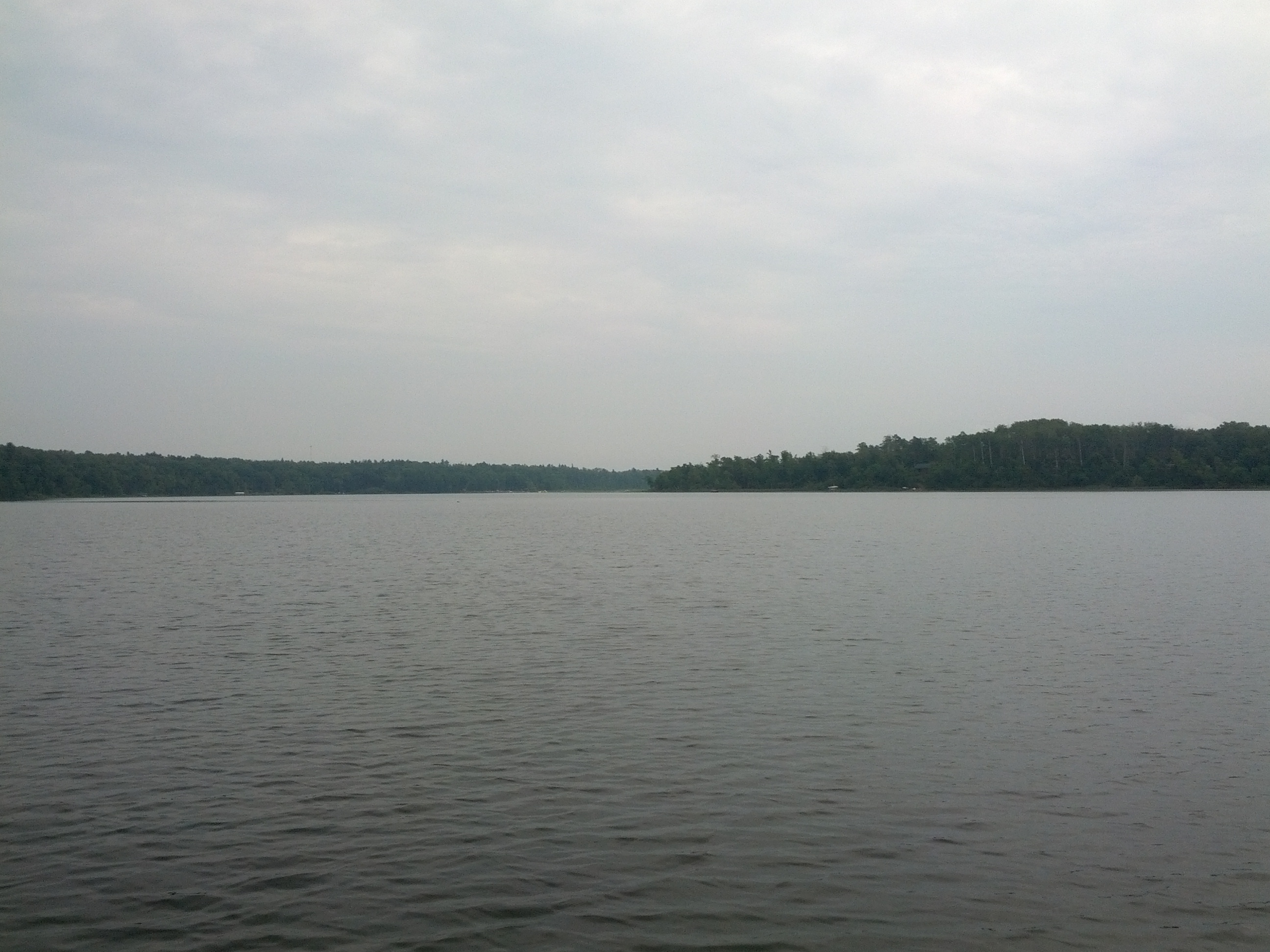
Related Photos:
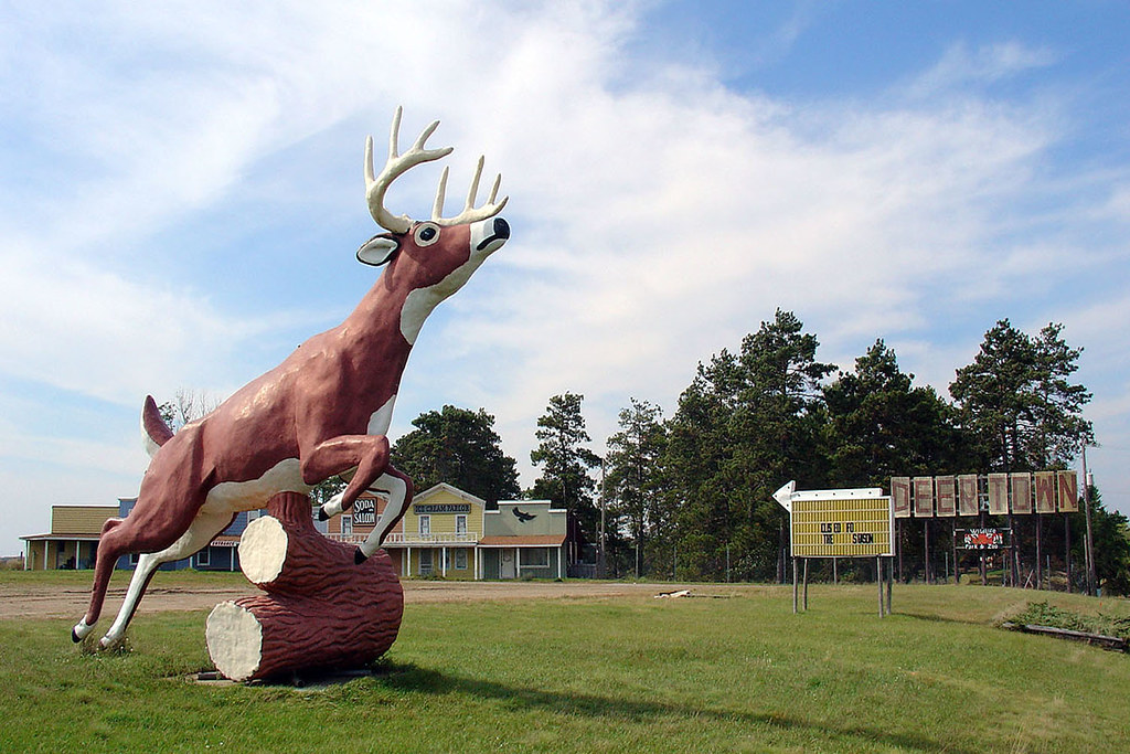
Deer Town, Minnesota, 19 Sept 2004

Sunset over the Island

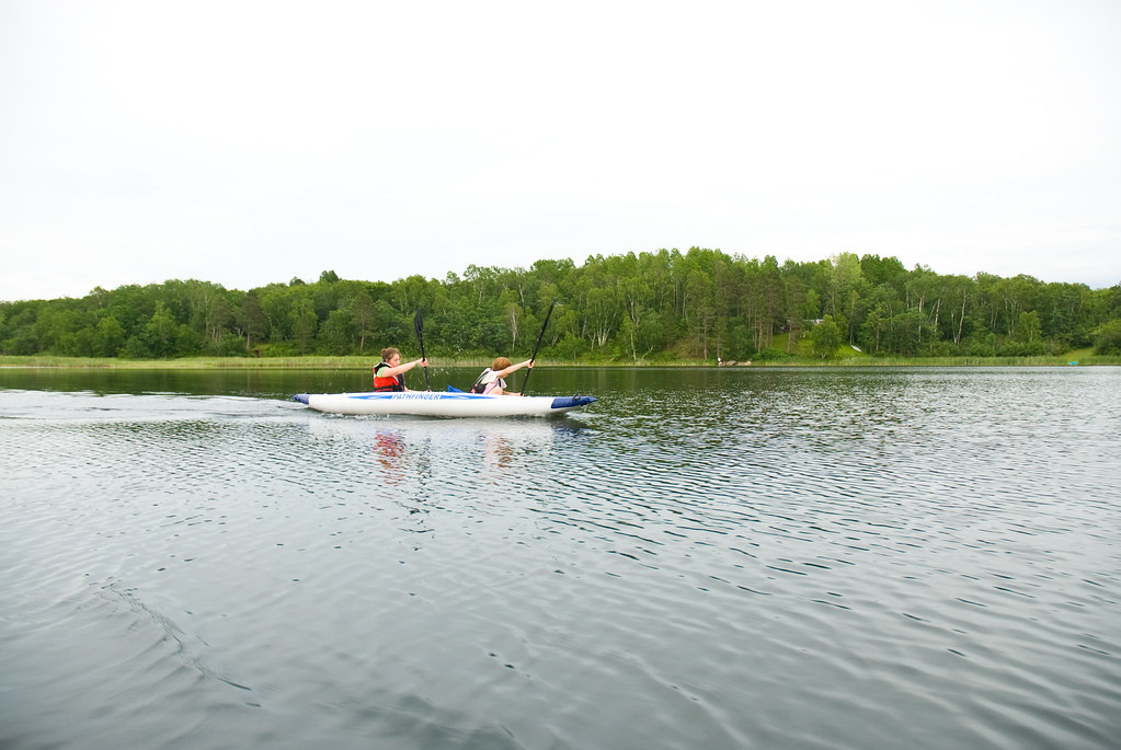
Steven on the Water

Calm Minnesota Dock
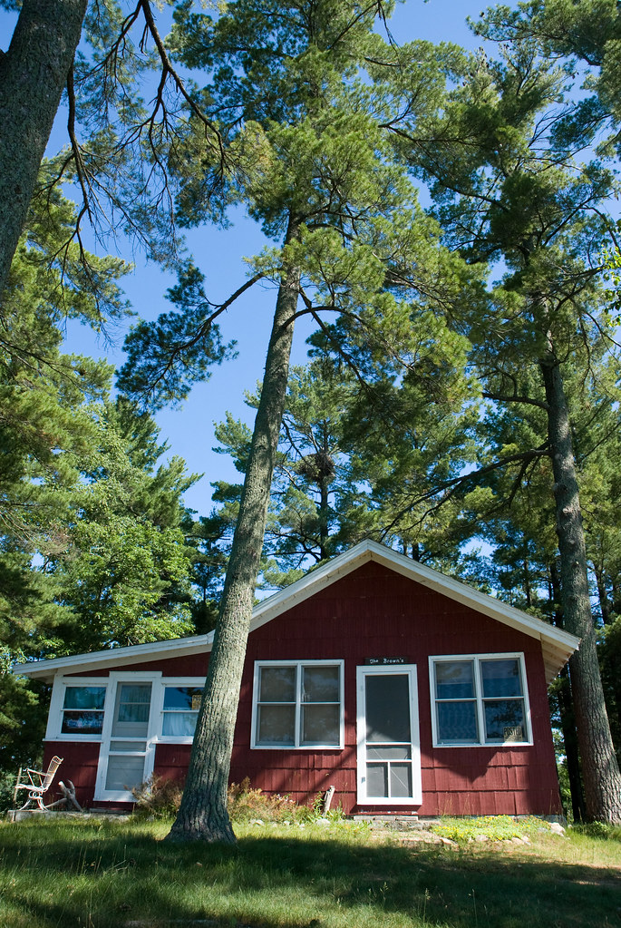
Island Cabin

Through the lake

Andy and Rebecca
Patrick and Rebecca

Grandpa and the Mowers

Fishing on the Little Sand

Black and White Warbler 2011-05-27_090301

photo-2
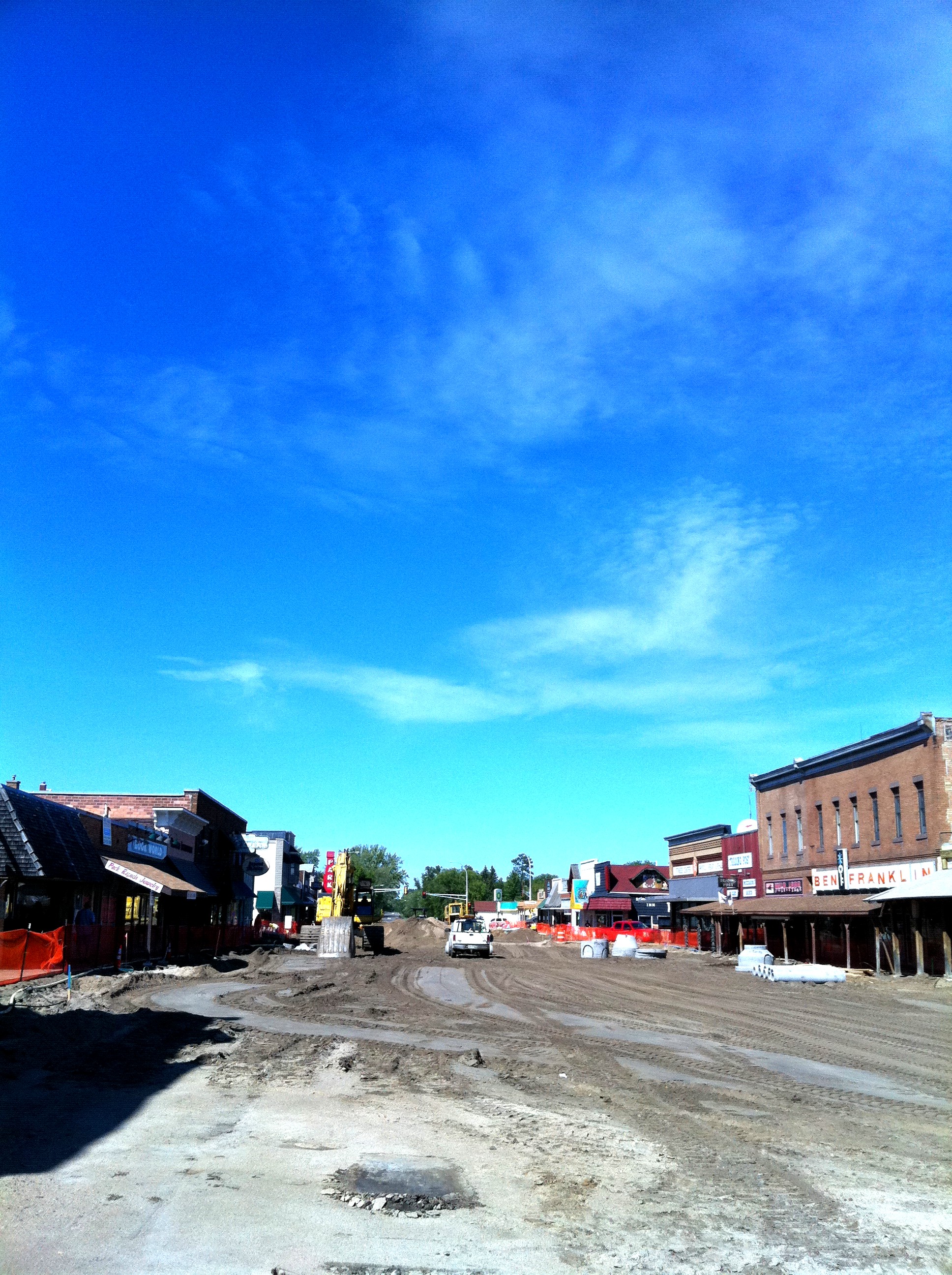
Park Rapids with Main torn out

the red bridge

Brookside resort sunrise lake 2
Two Inlets lake
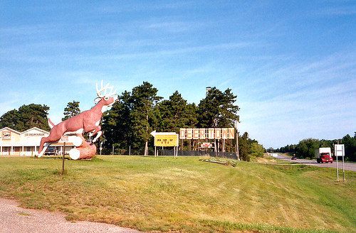
Deer Town, 4 August 2003

Looking up shore

IMG_8400.jpg
fpu_tmp_1376670967.9298_2dddcc
Topographic Map of Park Rapids, MN, USA
Find elevation by address:

Places in Park Rapids, MN, USA:
Places near Park Rapids, MN, USA:
14402 Chippewa Loop
Straight River Township
Hinds Lake
Hubbard Township
Emmaville
Osage Township
Menahga
12490 350th St
MN-34, Osage, MN, USA
Osage
19192 Echo Ridge Dr
10130 Mn-87
17 Co Rd 18, Nevis, MN, USA
St, Menahga, MN, USA
Runeberg Township
23577 360th St
54759 110 St
Hubbard County
Smokey Hills State Forest Road
Carsonville Township
Recent Searches:
- Elevation of Corso Fratelli Cairoli, 35, Macerata MC, Italy
- Elevation of Tallevast Rd, Sarasota, FL, USA
- Elevation of 4th St E, Sonoma, CA, USA
- Elevation of Black Hollow Rd, Pennsdale, PA, USA
- Elevation of Oakland Ave, Williamsport, PA, USA
- Elevation of Pedrógão Grande, Portugal
- Elevation of Klee Dr, Martinsburg, WV, USA
- Elevation of Via Roma, Pieranica CR, Italy
- Elevation of Tavkvetili Mountain, Georgia
- Elevation of Hartfords Bluff Cir, Mt Pleasant, SC, USA