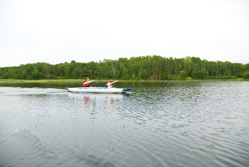
Elevation of Chippewa Loop, Park Rapids, MN, USA
Location: United States > Minnesota > Hubbard County > Park Rapids >
Longitude: -95.003881
Latitude: 46.8715719
Elevation: -10000m / -32808feet
Barometric Pressure: 295KPa
Related Photos:
Topographic Map of Chippewa Loop, Park Rapids, MN, USA
Find elevation by address:

Places near Chippewa Loop, Park Rapids, MN, USA:
Hubbard Township
Hinds Lake
Park Rapids
Straight River Township
Menahga
19192 Echo Ridge Dr
12490 350th St
23577 360th St
17 Co Rd 18, Nevis, MN, USA
Emmaville
10130 Mn-87
Osage Township
Wadena County
MN-34, Osage, MN, USA
Osage
MN- Trunk, Sebeka, MN, USA
Runeberg Township
White Oak Township
St, Menahga, MN, USA
th St, Akeley, MN, USA
Recent Searches:
- Elevation of Corso Fratelli Cairoli, 35, Macerata MC, Italy
- Elevation of Tallevast Rd, Sarasota, FL, USA
- Elevation of 4th St E, Sonoma, CA, USA
- Elevation of Black Hollow Rd, Pennsdale, PA, USA
- Elevation of Oakland Ave, Williamsport, PA, USA
- Elevation of Pedrógão Grande, Portugal
- Elevation of Klee Dr, Martinsburg, WV, USA
- Elevation of Via Roma, Pieranica CR, Italy
- Elevation of Tavkvetili Mountain, Georgia
- Elevation of Hartfords Bluff Cir, Mt Pleasant, SC, USA


