Elevation of Hubbard County, MN, USA
Location: United States > Minnesota >
Longitude: -94.941142
Latitude: 47.1860527
Elevation: 481m / 1578feet
Barometric Pressure: 96KPa
Elevation Map:
Satellite Map:
Related Photos:
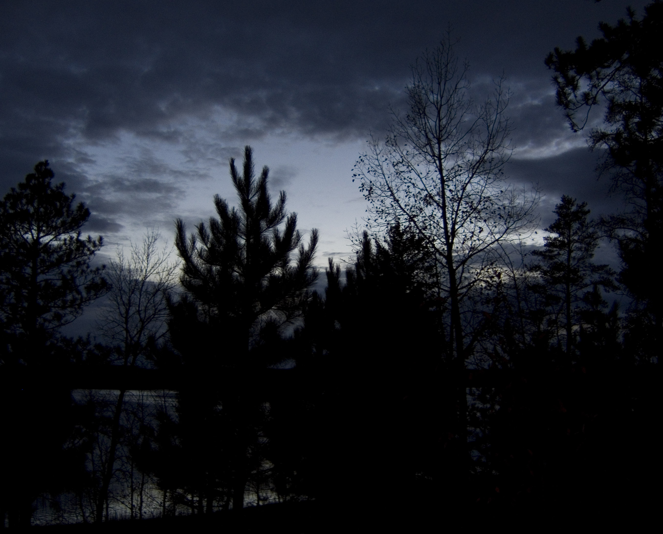
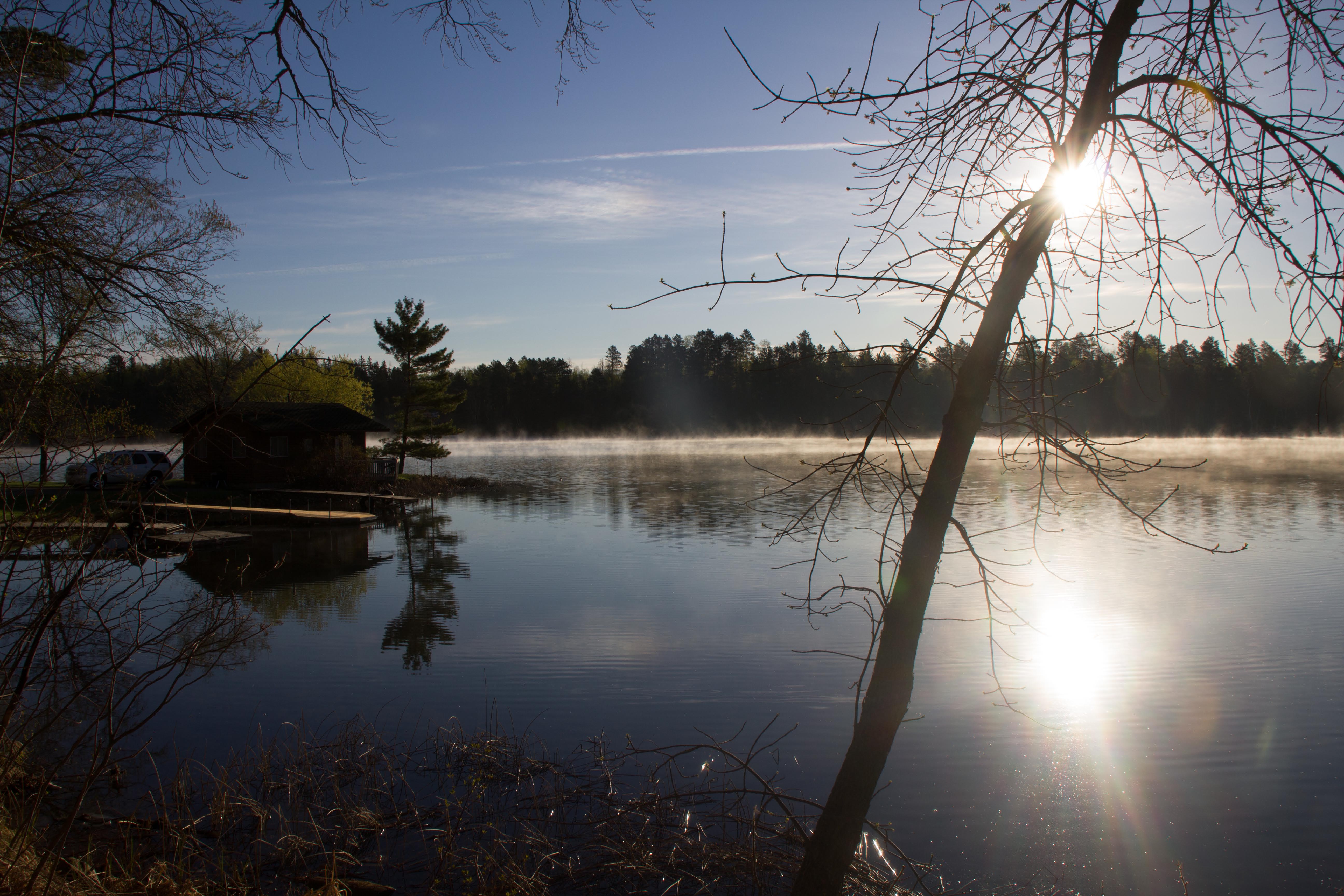
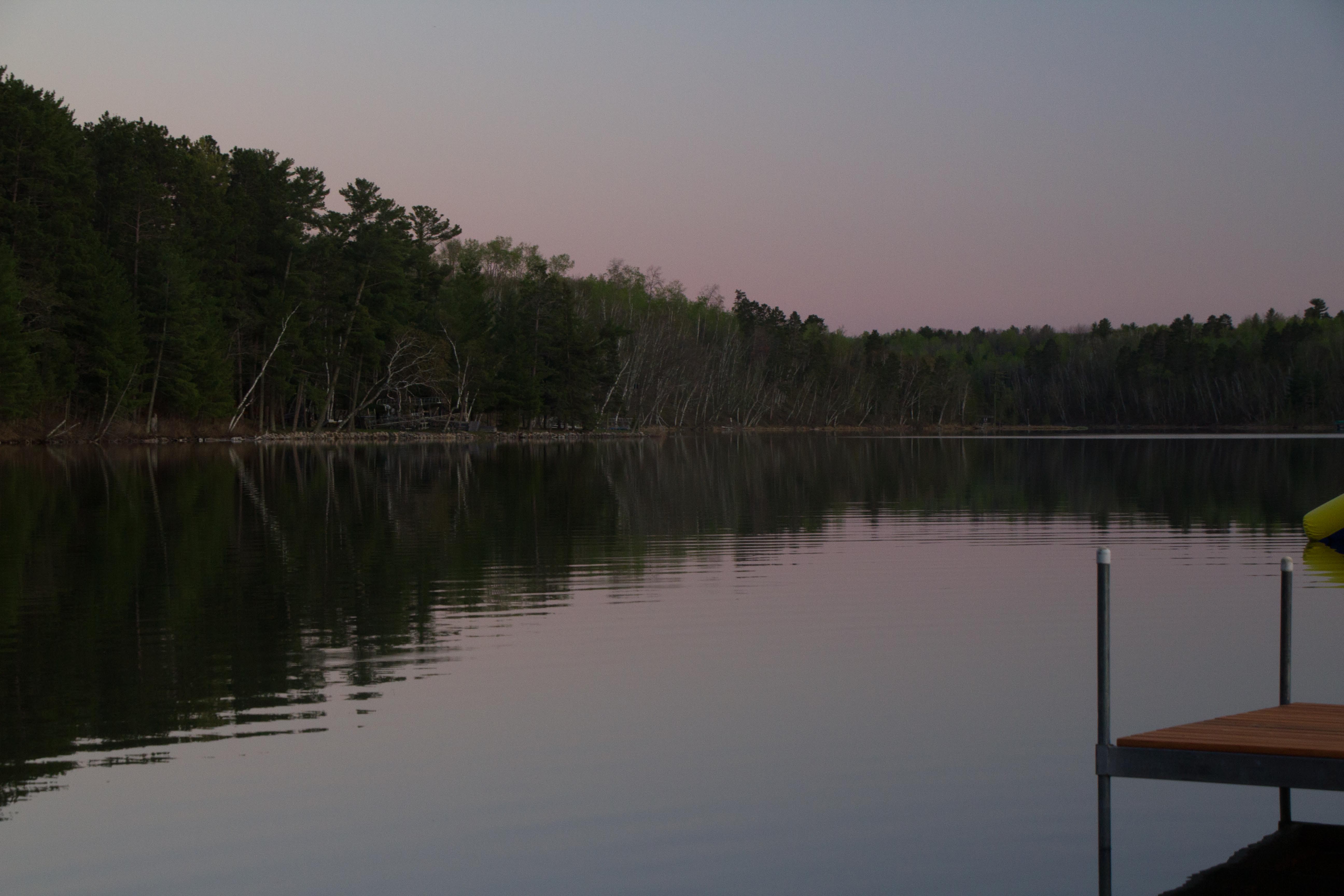
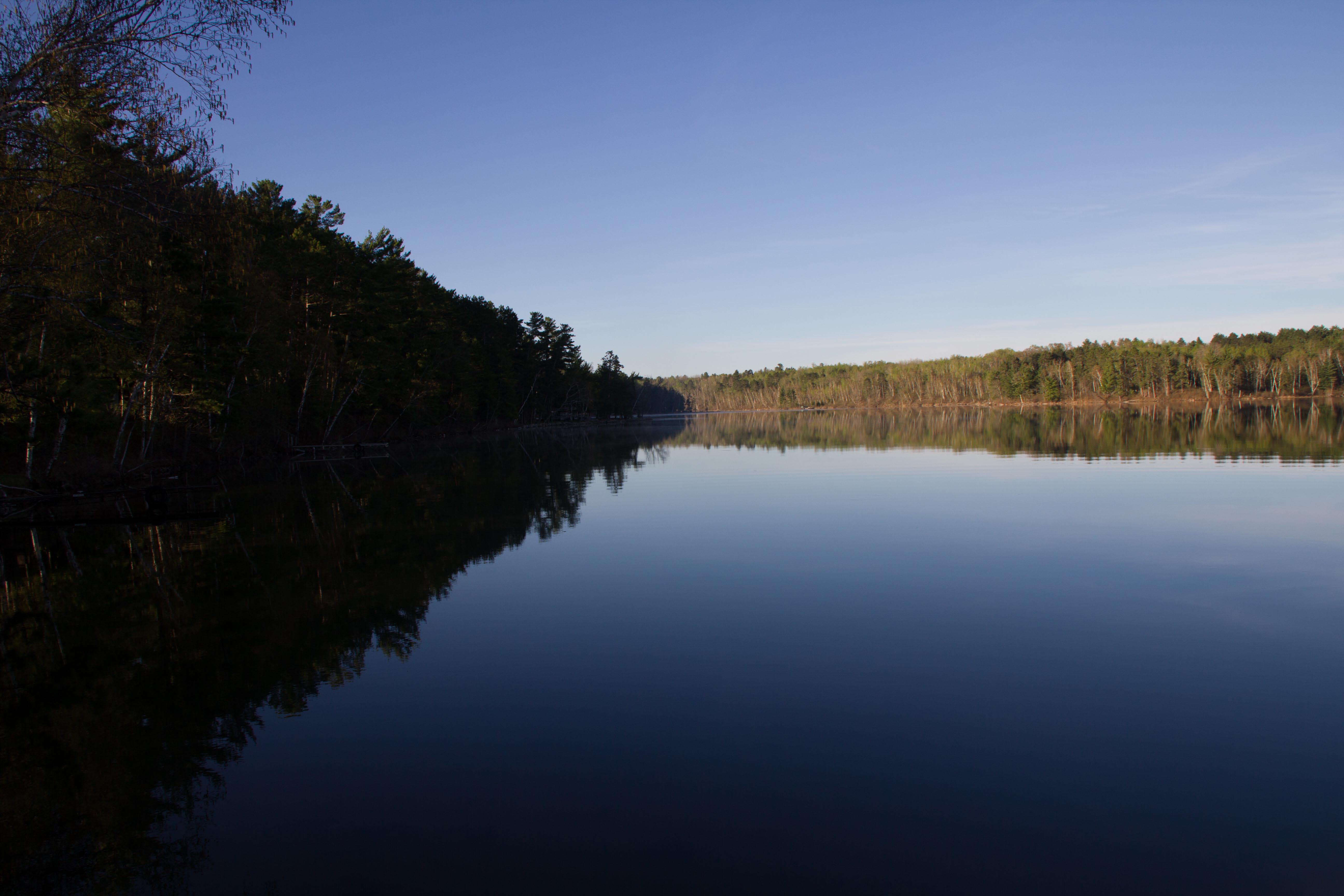
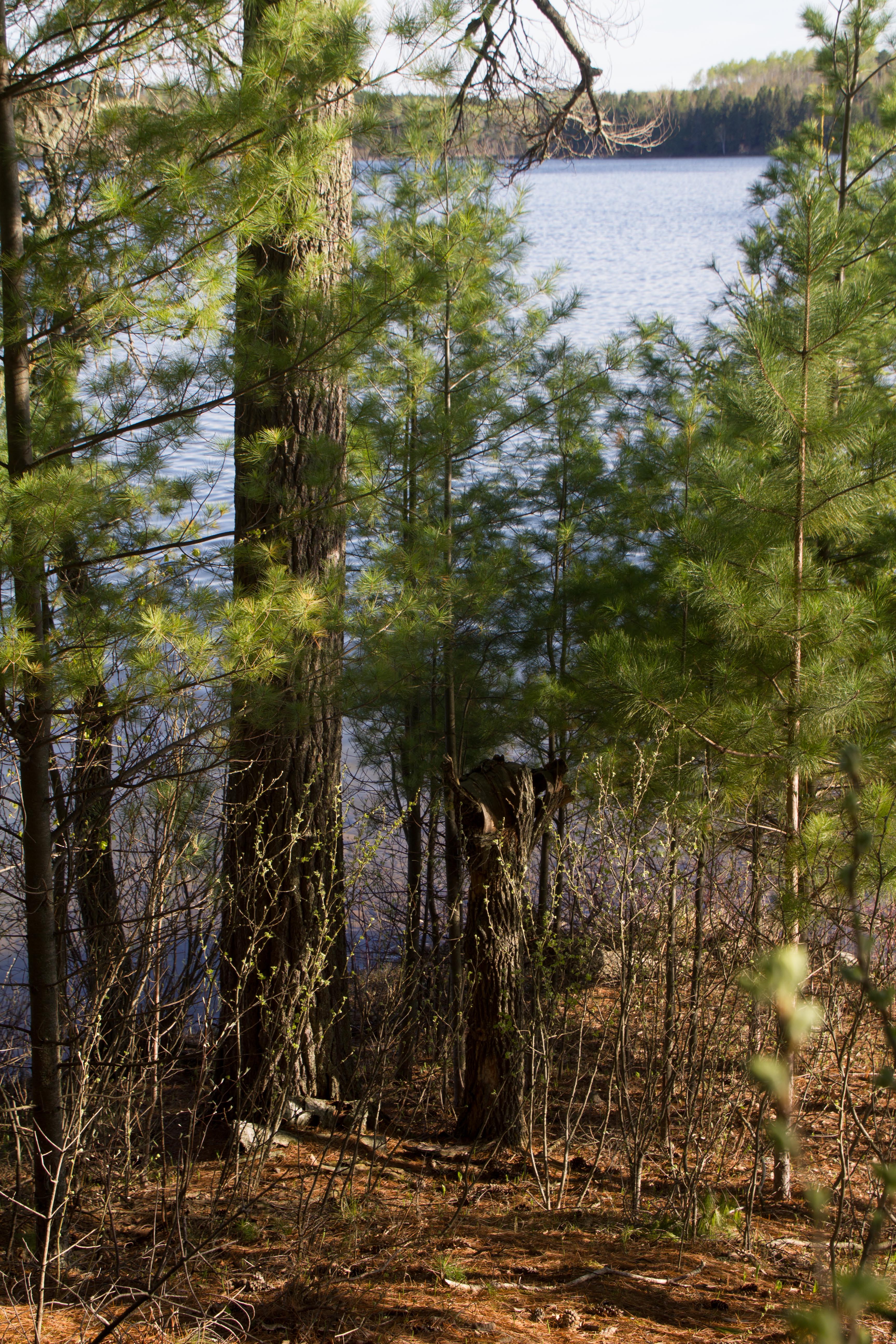
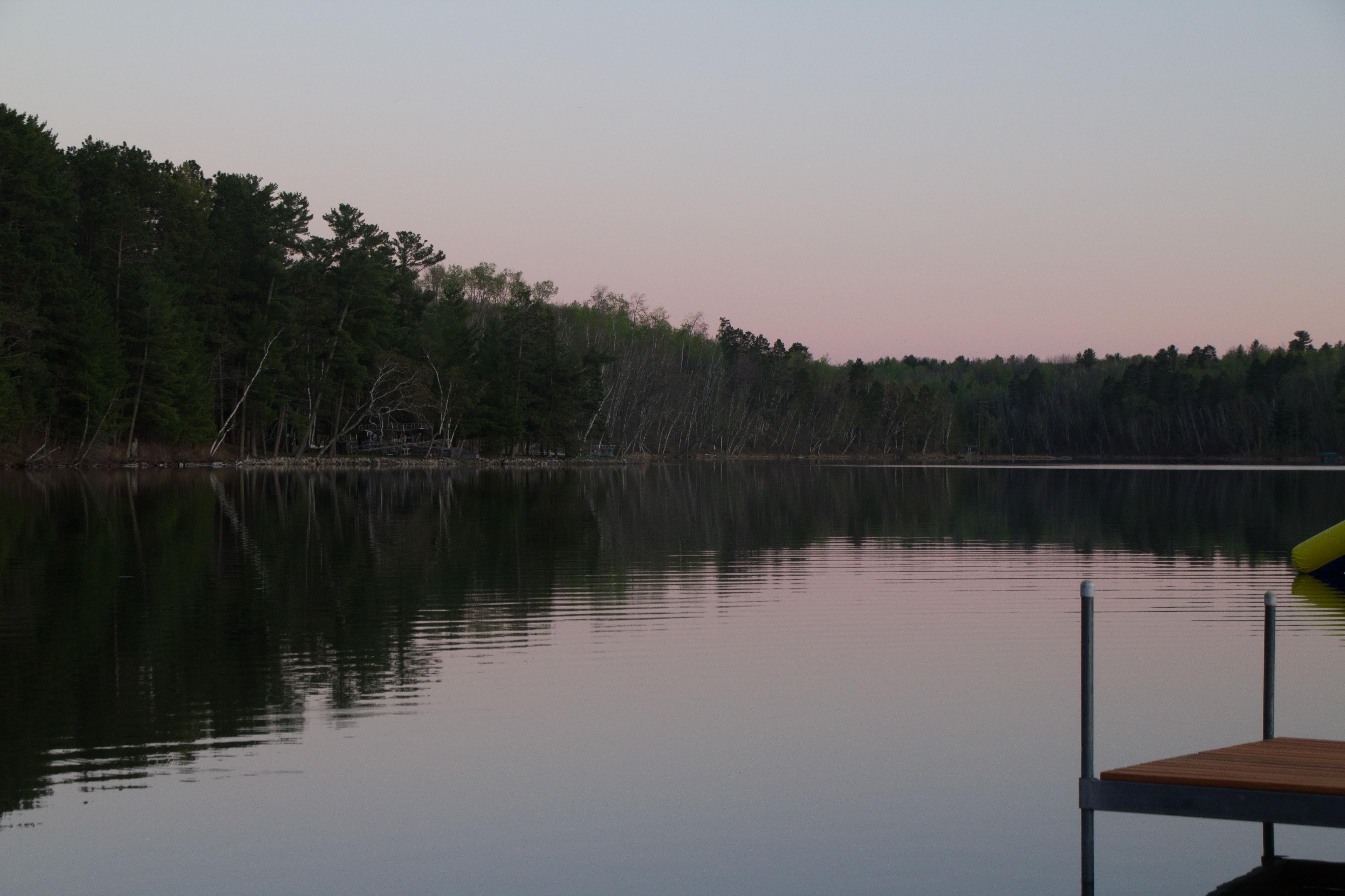
view from the front porch

Snow on Maple Oak and Aspen Leaves [5378]

Emma's first duck hunt
_MG_6759.CR2
_MG_6717.CR2

_MG_6719.CR2

_MG_6753.CR2
_MG_6760.CR2
_MG_6796.CR2
_MG_6728.CR2
_MG_6699.CR2
_MG_6731.CR2

_MG_6780.CR2

_MG_6772.CR2

_MG_6724.CR2
_MG_6718.CR2
_MG_6725.CR2

_MG_6766.CR2

_MG_7152.CR2
_MG_6891.CR2
_MG_6758.CR2

IMG_8068.jpg
Topographic Map of Hubbard County, MN, USA
Find elevation by address:

Places in Hubbard County, MN, USA:
Hendrickson Township
Lakeport Township
White Oak Township
Park Rapids
th Ave, Cass Lake, MN, USA
17 Co Rd 18, Nevis, MN, USA
Straight River Township
Hubbard Township
Farden Township
Places near Hubbard County, MN, USA:
Hendrickson Township
Otter Dr, Laporte, MN, USA
Emmaville
Lakeport Township
17 Co Rd 18, Nevis, MN, USA
Mississippi Rd, Laporte, MN, USA
Bemidji Township
19192 Echo Ridge Dr
Woodberry Dr SE, Bemidji, MN, USA
U.s. 2
Lake Itasca
La Salle Lake State Recreation Area
725 Washington Ave S
Lake Itasca
Farden Township
Park Rapids
Bemidji
South Clearwater
th Ave, Cass Lake, MN, USA
Bemidji State University
Recent Searches:
- Elevation of Corso Fratelli Cairoli, 35, Macerata MC, Italy
- Elevation of Tallevast Rd, Sarasota, FL, USA
- Elevation of 4th St E, Sonoma, CA, USA
- Elevation of Black Hollow Rd, Pennsdale, PA, USA
- Elevation of Oakland Ave, Williamsport, PA, USA
- Elevation of Pedrógão Grande, Portugal
- Elevation of Klee Dr, Martinsburg, WV, USA
- Elevation of Via Roma, Pieranica CR, Italy
- Elevation of Tavkvetili Mountain, Georgia
- Elevation of Hartfords Bluff Cir, Mt Pleasant, SC, USA