Elevation of Otter Dr, Laporte, MN, USA
Location: United States > Minnesota > Hubbard County > Hendrickson Township >
Longitude: -94.868874
Latitude: 47.2295648
Elevation: 428m / 1404feet
Barometric Pressure: 96KPa
Elevation Map:
Satellite Map:
Related Photos:

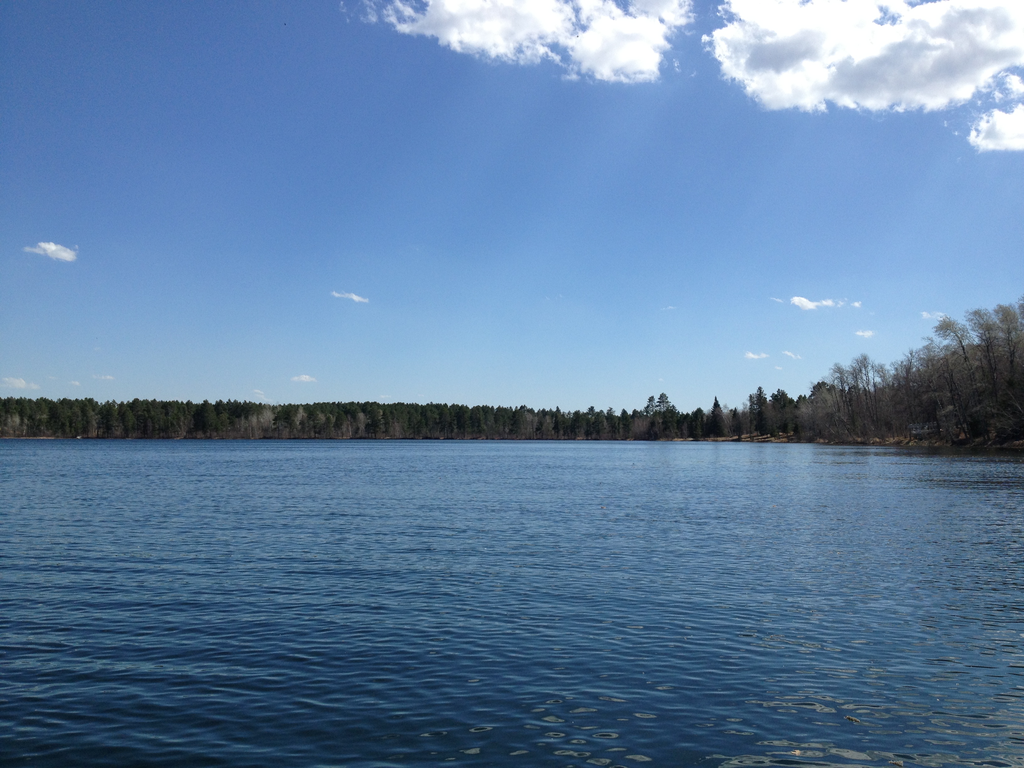
view from the front porch

Snow on Maple Oak and Aspen Leaves [5378]

Hay Rolls
Fishing MN 1
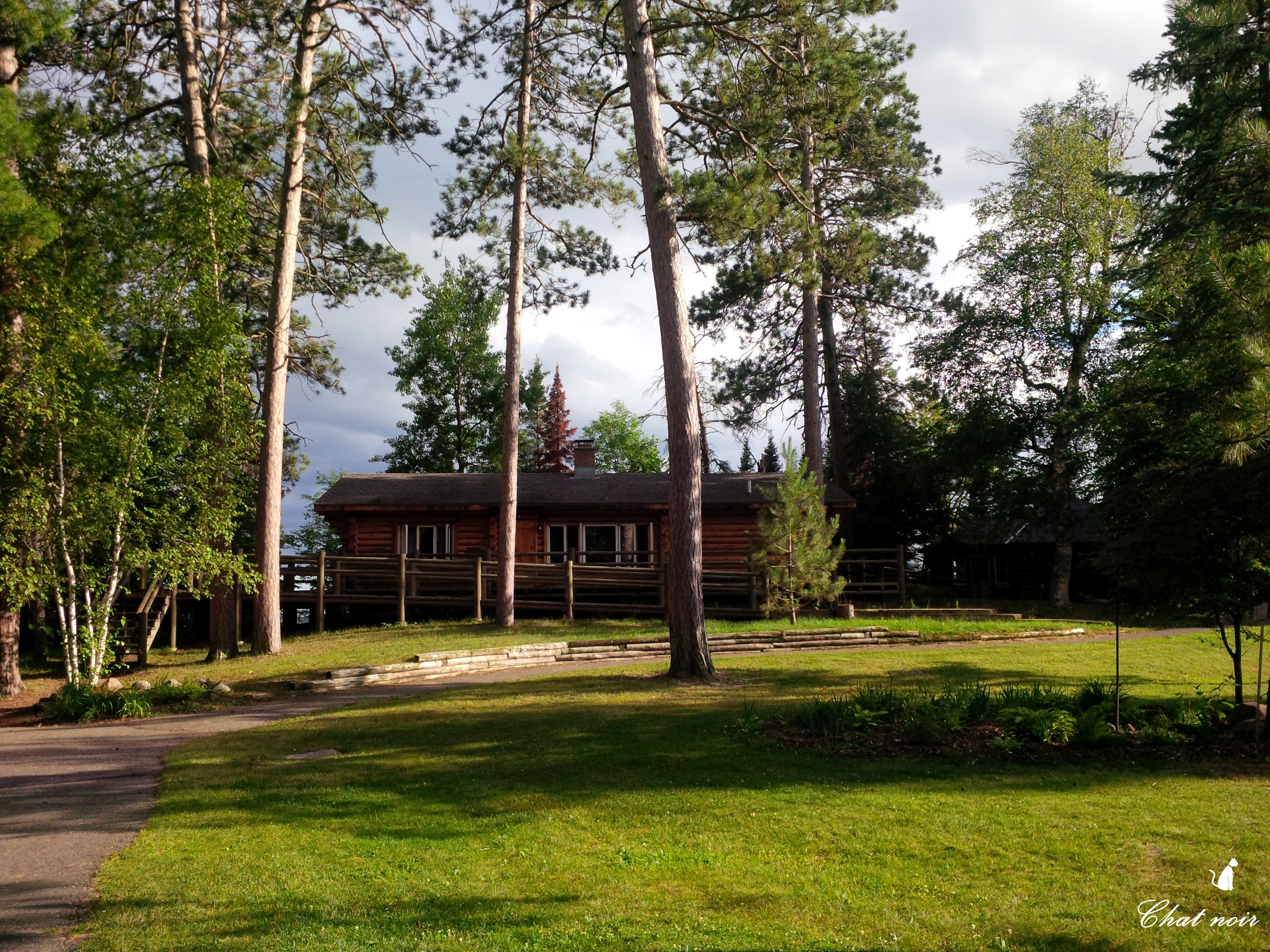
Camp Courage North, MN

Bluebird in a May snowshower

Yola MN

Chopping wood outta the lake. #paulbunyan #lakepain
Pretty Big Sky
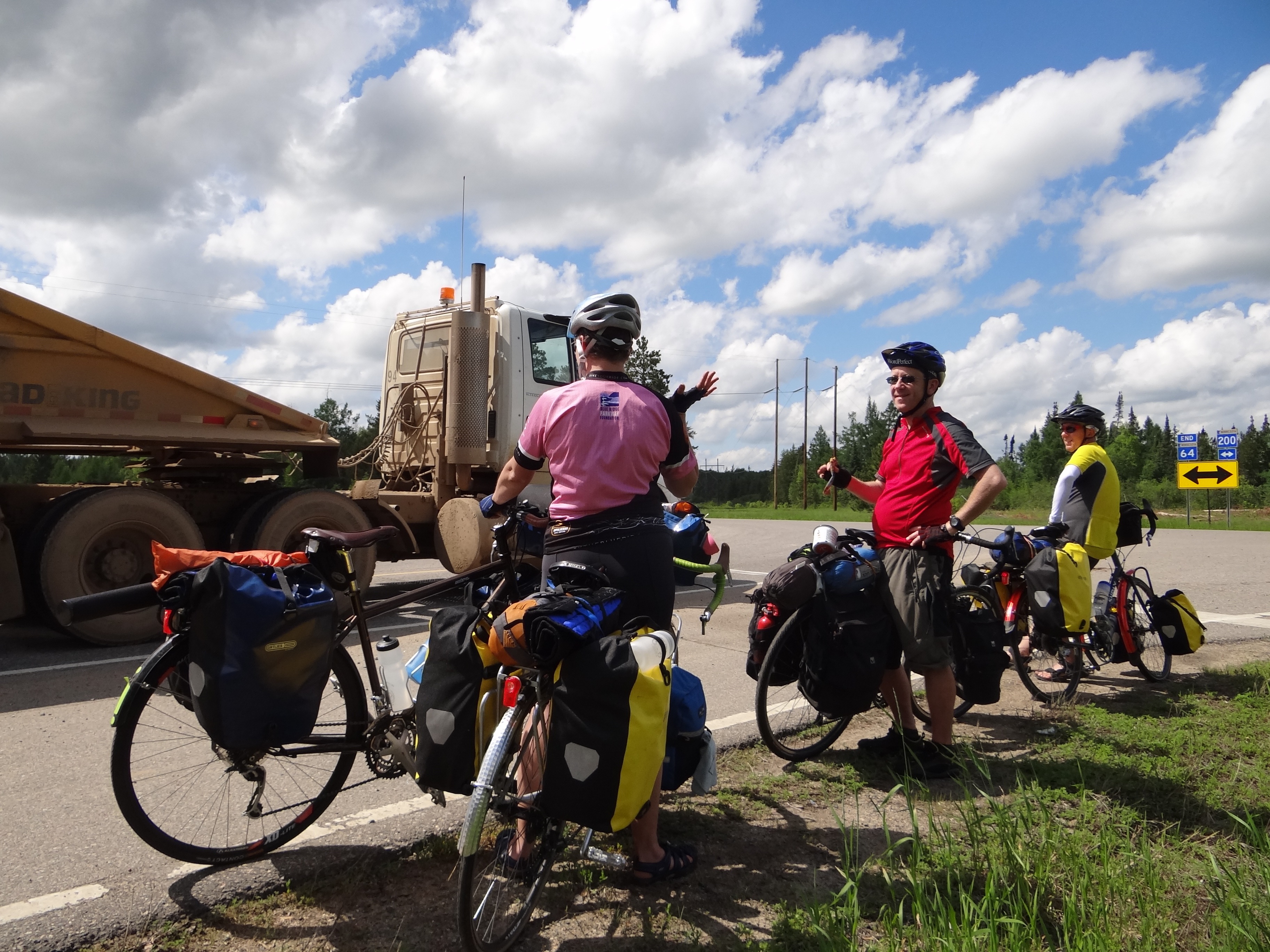
Hey, let's stand here and wave at the sand truckers.
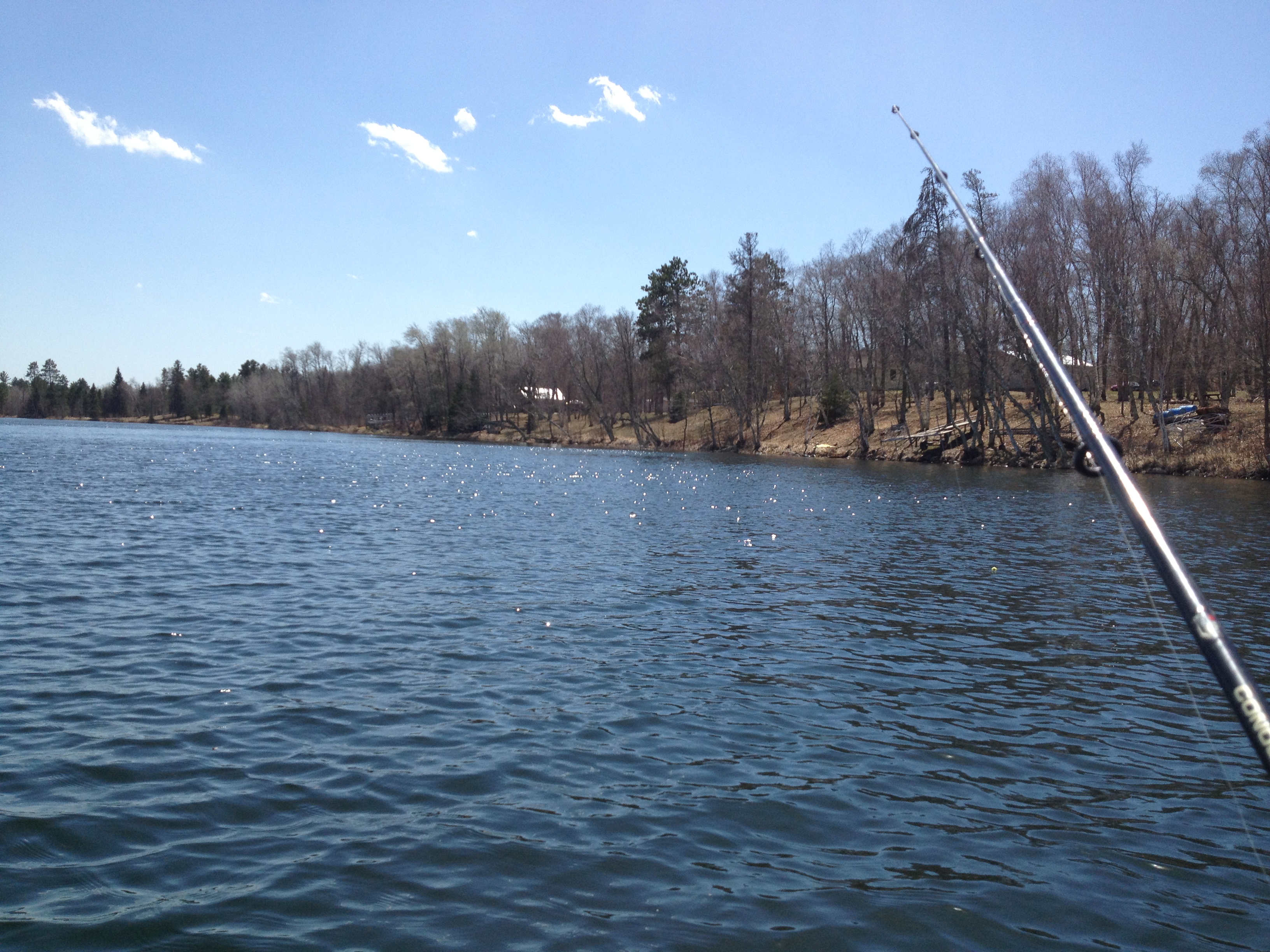
Fishing MN 2
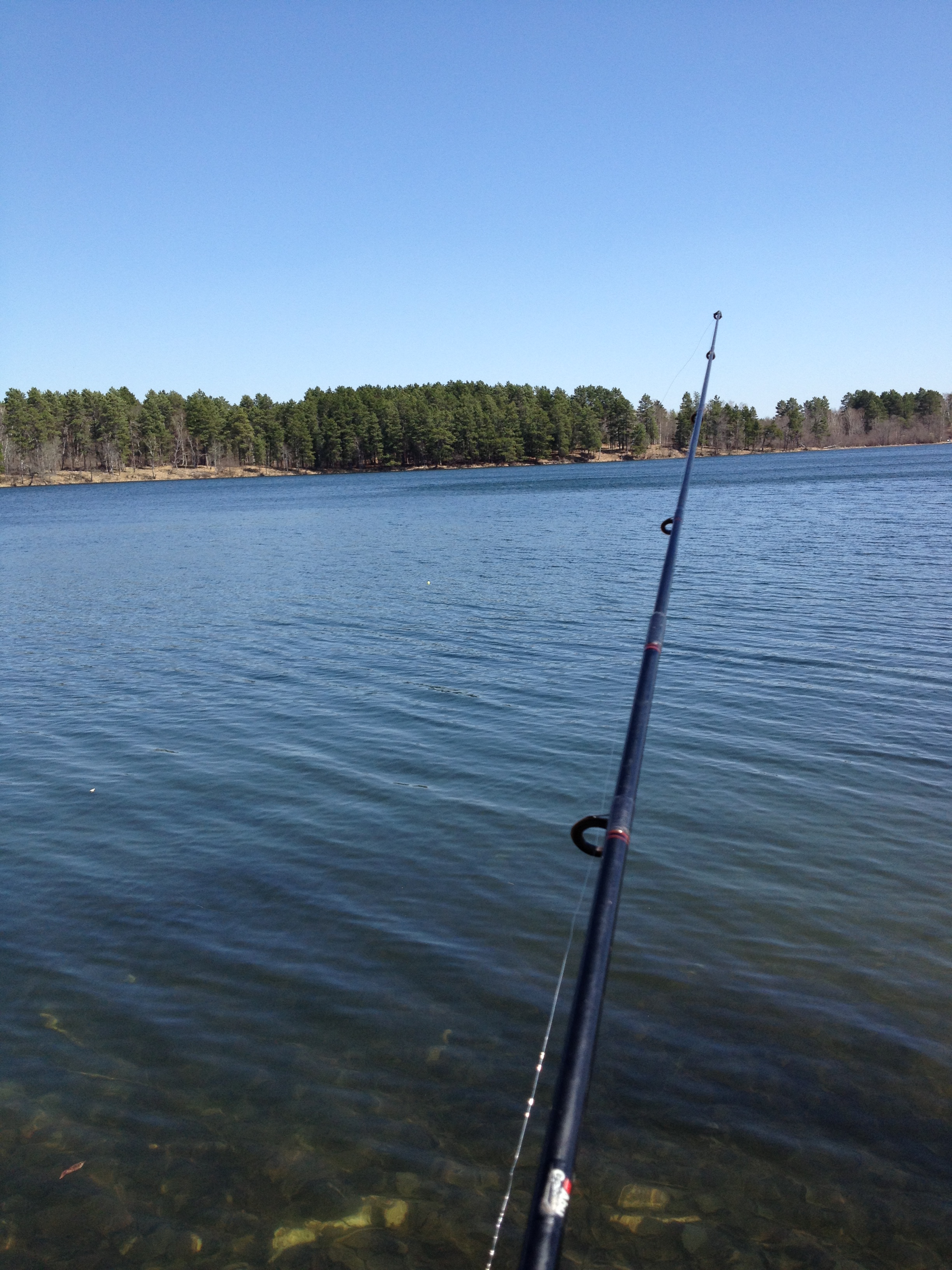
Fishing MN 3

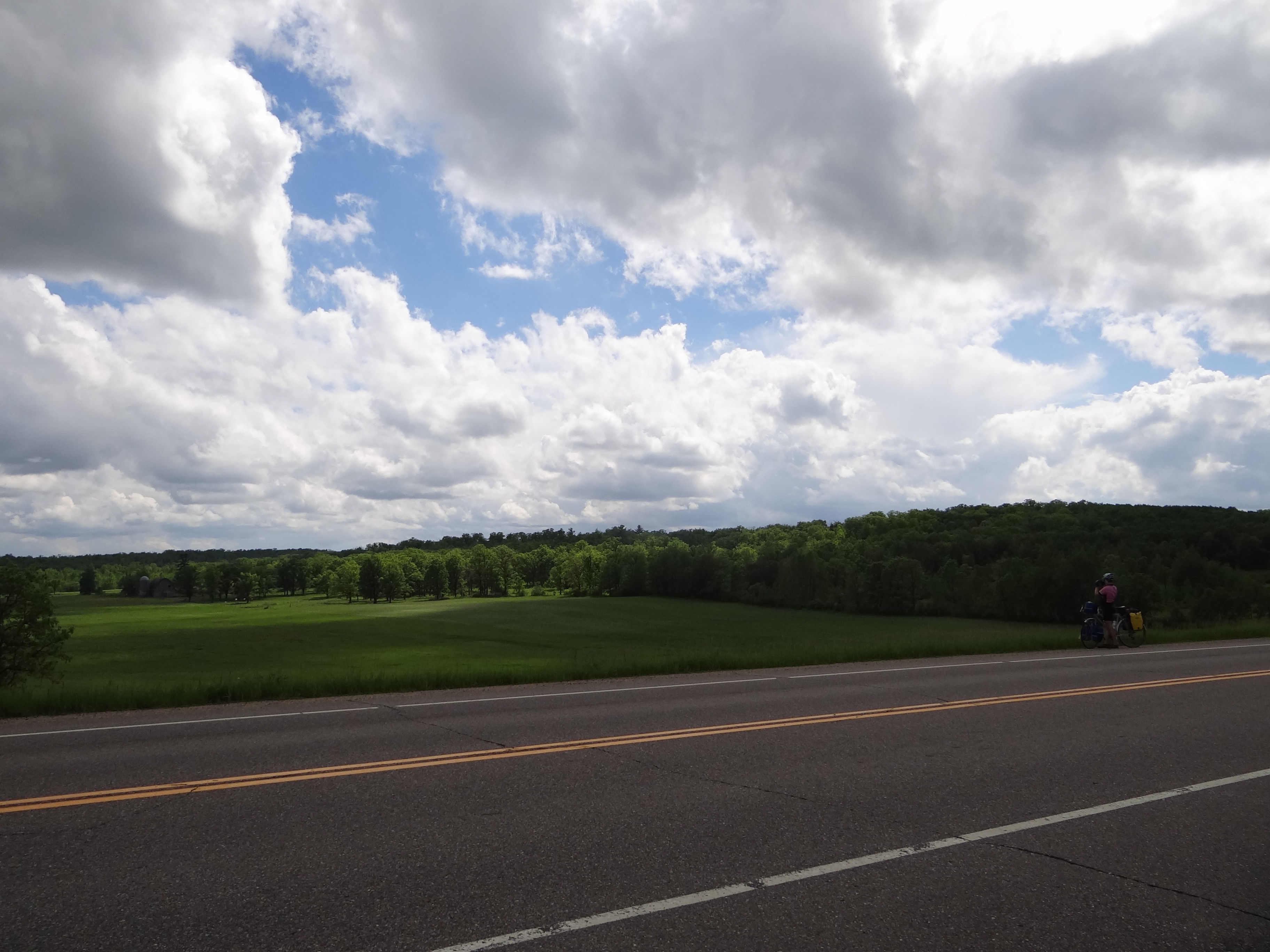
State Route 64, Minnesota
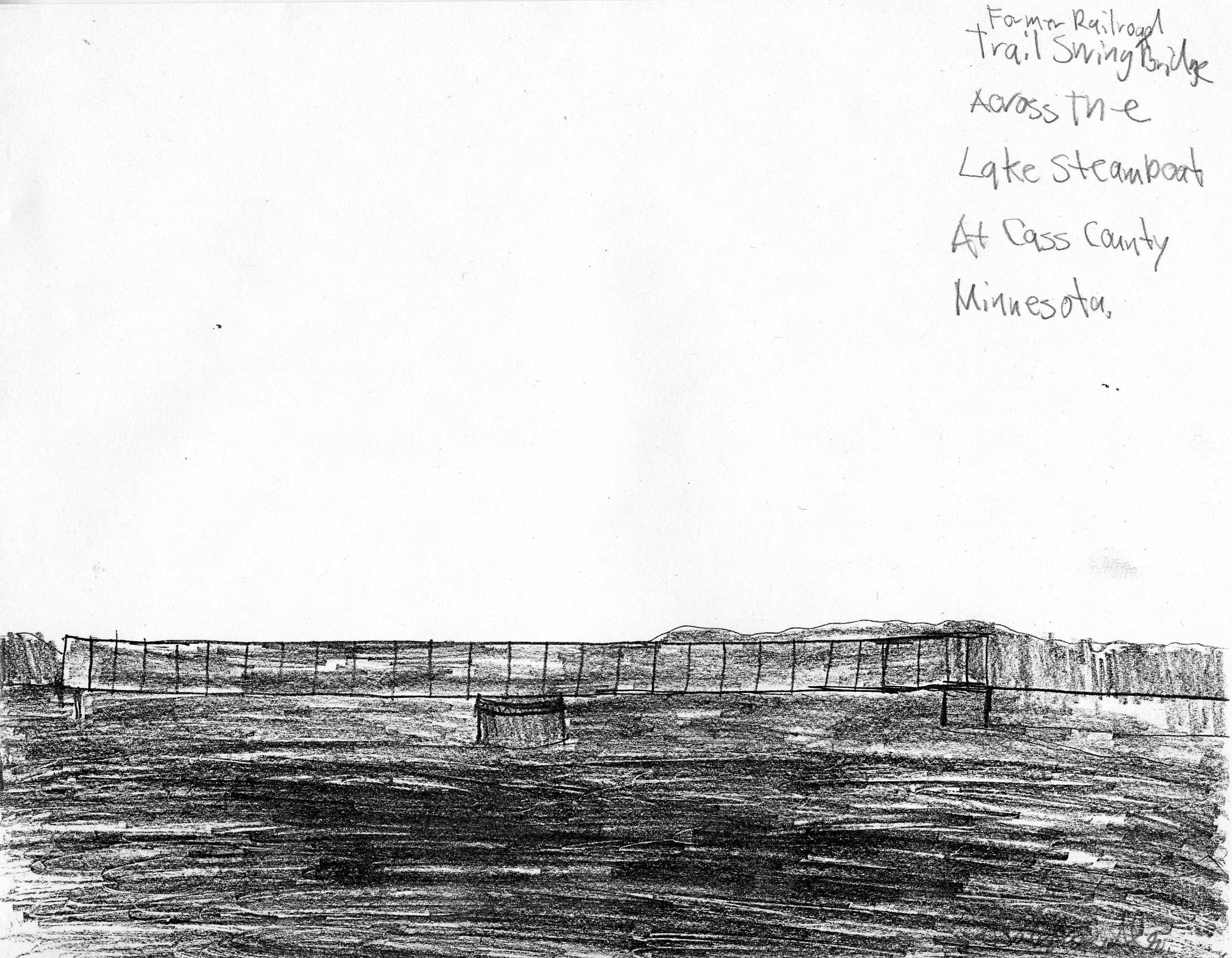
Steamboat Lake Railroad Bridge

gifts o' the wild

Paul Bunyan

Paul Bunyan

At the garden center, July 3

At the garden center, July 3.

King of the Roadkill

Food at Two Party System

Wine booth
Topographic Map of Otter Dr, Laporte, MN, USA
Find elevation by address:

Places near Otter Dr, Laporte, MN, USA:
Hendrickson Township
Hubbard County
Lakeport Township
U.s. 2
Woodberry Dr SE, Bemidji, MN, USA
Mississippi Rd, Laporte, MN, USA
Emmaville
Farden Township
Bemidji Township
th Ave, Cass Lake, MN, USA
725 Washington Ave S
Bemidji
Bemidji State University
17 Co Rd 18, Nevis, MN, USA
4289 Minnkota Ave Nw
Bemidji Theatre
Shingobee Township
19192 Echo Ridge Dr
Pike Bay Township
Walker
Recent Searches:
- Elevation of Corso Fratelli Cairoli, 35, Macerata MC, Italy
- Elevation of Tallevast Rd, Sarasota, FL, USA
- Elevation of 4th St E, Sonoma, CA, USA
- Elevation of Black Hollow Rd, Pennsdale, PA, USA
- Elevation of Oakland Ave, Williamsport, PA, USA
- Elevation of Pedrógão Grande, Portugal
- Elevation of Klee Dr, Martinsburg, WV, USA
- Elevation of Via Roma, Pieranica CR, Italy
- Elevation of Tavkvetili Mountain, Georgia
- Elevation of Hartfords Bluff Cir, Mt Pleasant, SC, USA