Elevation of Hubbard Township, MN, USA
Location: United States > Minnesota > Hubbard County >
Longitude: -94.994926
Latitude: 46.8523224
Elevation: 433m / 1421feet
Barometric Pressure: 96KPa
Elevation Map:
Satellite Map:
Related Photos:

Deer Town, Minnesota, 19 Sept 2004

Island Cabin

Calm Minnesota Dock

Steven on the Water

Patrick and Rebecca

Andy and Rebecca

Sunset over the Island

Grandpa and the Mowers

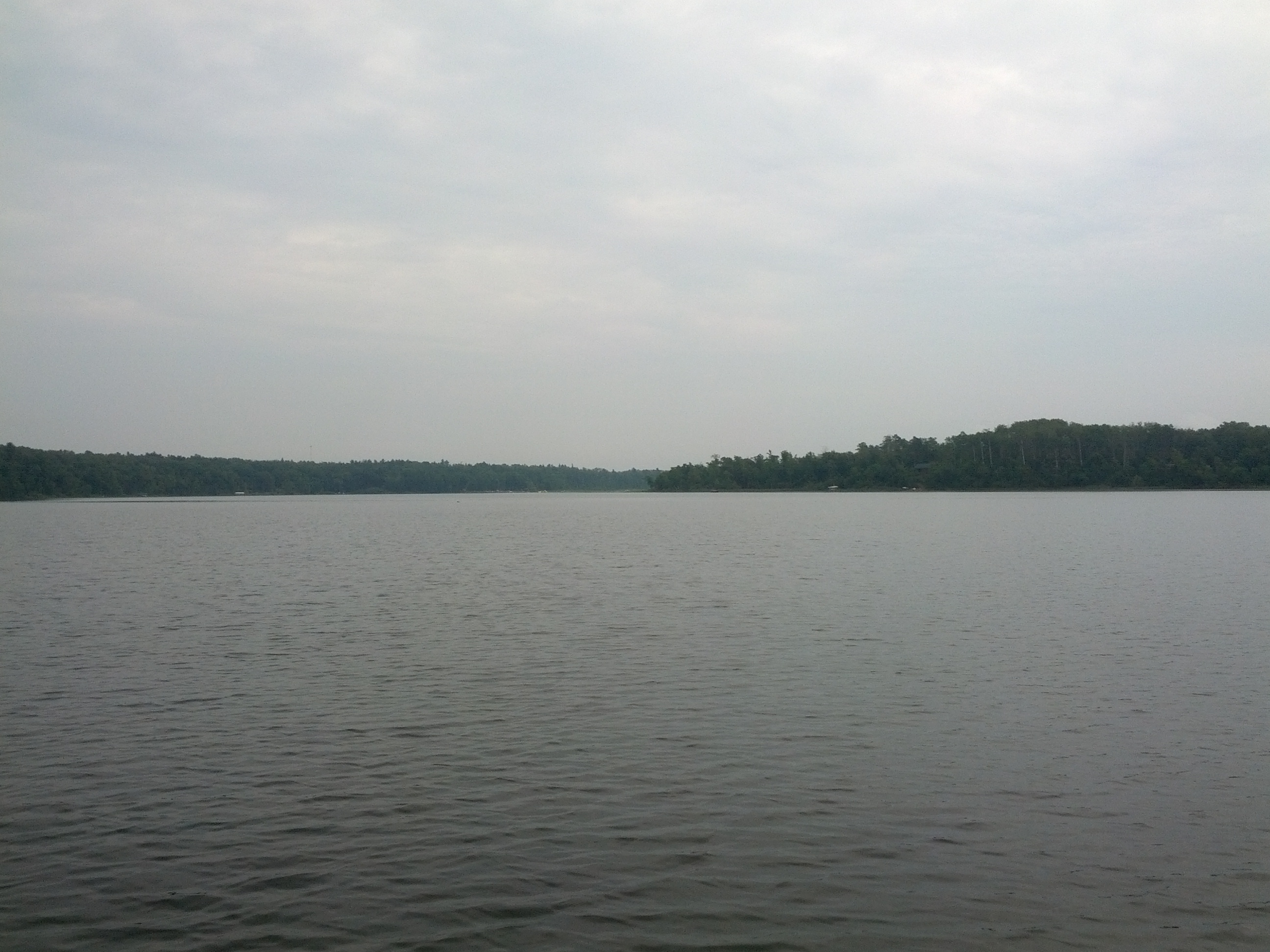
Through the lake

Grannies View

Deer Town, 4 August 2003

Park Rapids with Main torn out

fall colors

fall colors

photo-2

fpu_tmp_1376670970.3498_246c86
fpu_tmp_1376670967.9298_2dddcc
Topographic Map of Hubbard Township, MN, USA
Find elevation by address:

Places near Hubbard Township, MN, USA:
14402 Chippewa Loop
Hinds Lake
Straight River Township
Park Rapids
Menahga
23577 360th St
19192 Echo Ridge Dr
12490 350th St
17 Co Rd 18, Nevis, MN, USA
10130 Mn-87
Emmaville
Wadena County
MN- Trunk, Sebeka, MN, USA
Osage Township
Runeberg Township
White Oak Township
MN-34, Osage, MN, USA
Osage
St, Menahga, MN, USA
th St, Akeley, MN, USA
Recent Searches:
- Elevation of Corso Fratelli Cairoli, 35, Macerata MC, Italy
- Elevation of Tallevast Rd, Sarasota, FL, USA
- Elevation of 4th St E, Sonoma, CA, USA
- Elevation of Black Hollow Rd, Pennsdale, PA, USA
- Elevation of Oakland Ave, Williamsport, PA, USA
- Elevation of Pedrógão Grande, Portugal
- Elevation of Klee Dr, Martinsburg, WV, USA
- Elevation of Via Roma, Pieranica CR, Italy
- Elevation of Tavkvetili Mountain, Georgia
- Elevation of Hartfords Bluff Cir, Mt Pleasant, SC, USA