Elevation of Widow Rd, Colville, WA, USA
Location: United States > Washington > Colville >
Longitude: -117.84891
Latitude: 48.7941197
Elevation: 795m / 2608feet
Barometric Pressure: 92KPa
Elevation Map:
Satellite Map:
Related Photos:
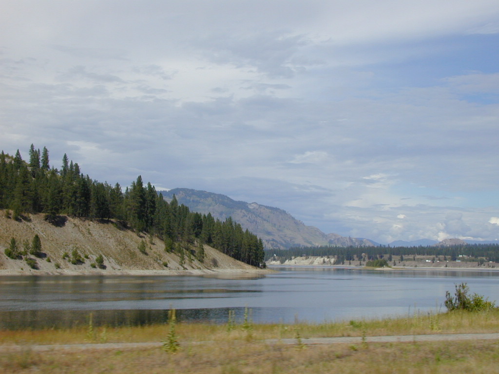
Columbia River
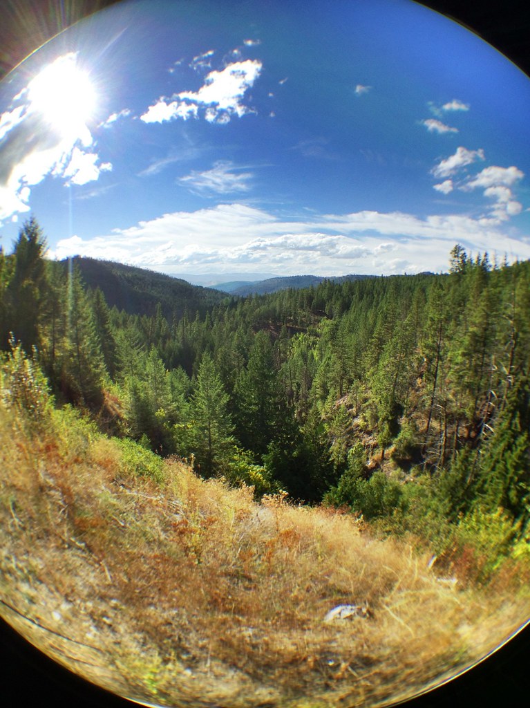
Road Back to Spokane

2016-04-19 17;53;45

2010-08-09 13;20;59

2016-04-19 18;34;25
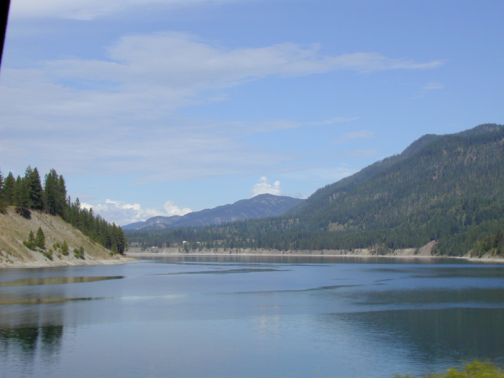
Crossing the Columbia

2016-04-19 16;46;54

Houseboat 2016

Houseboat 2016

Houseboat 2016
Topographic Map of Widow Rd, Colville, WA, USA
Find elevation by address:

Places near Widow Rd, Colville, WA, USA:
3704 Wa-25
Larkspur Way
1853 Brooks Rd
Northport
3599 Hill Loop Rd
4807 Wa-25
2268 Aladdin Rd
Evans
Northport Flat Creek Rd, Kettle Falls, WA, USA
2300 Northport Flat Creek Rd
Aladdin Rd, Colville, WA, USA
751 Highland Loop Rd
1644 Bear Mountain Way B
828 N Walnut St
Walmart Supercenter
839 Wa-20
Washington 20
Colville
256 N Wynne St
259 N Wynne St
Recent Searches:
- Elevation of Doe Cir, Clinton, OH, USA
- Elevation of Narhe, Pune, Maharashtra, India
- Elevation of Martins Mill Ct, Eagle Rock, NC, USA
- Elevation of Kippen, Stirling FK8, UK
- Elevation of Sieveringer Straße, Sieveringer Str., Wien, Austria
- Elevation of Bratskaya Ulitsa, 24, Kurgan, Kurganskaya oblast', Russia
- Elevation of Paradisvegen, Biri, Norway
- Elevation of Crystal Cir, Birmingham, AL, USA
- Elevation of N Railroad Ave, West Palm Beach, FL, USA
- Elevation of 55 Cassick Valley Rd, Wellfleet, MA, USA