Elevation of WA-25, Northport, WA, USA
Location: United States > Washington > Stevens County > Northport >
Longitude: -117.84859
Latitude: 48.8702389
Elevation: 439m / 1440feet
Barometric Pressure: 96KPa
Elevation Map:
Satellite Map:
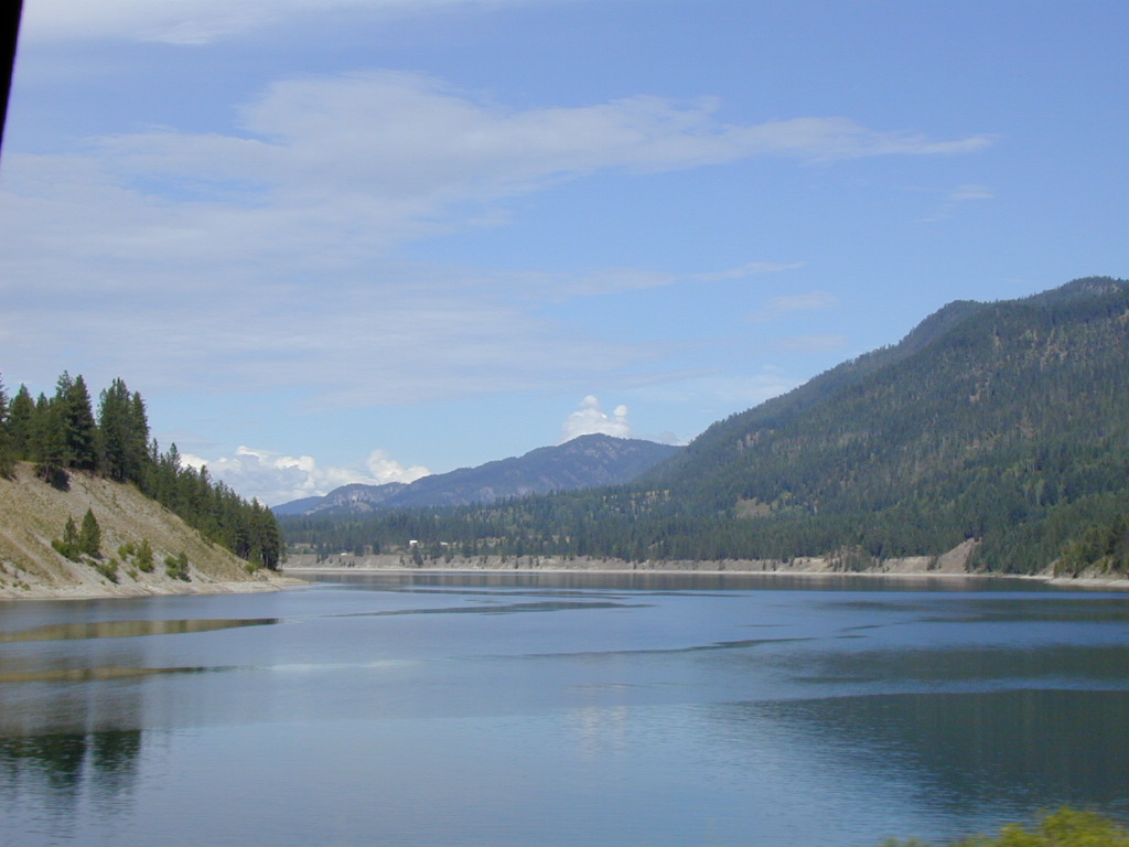
Related Photos:
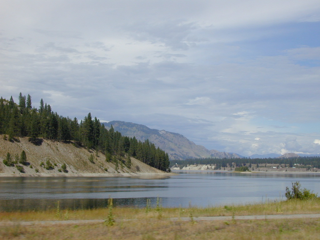
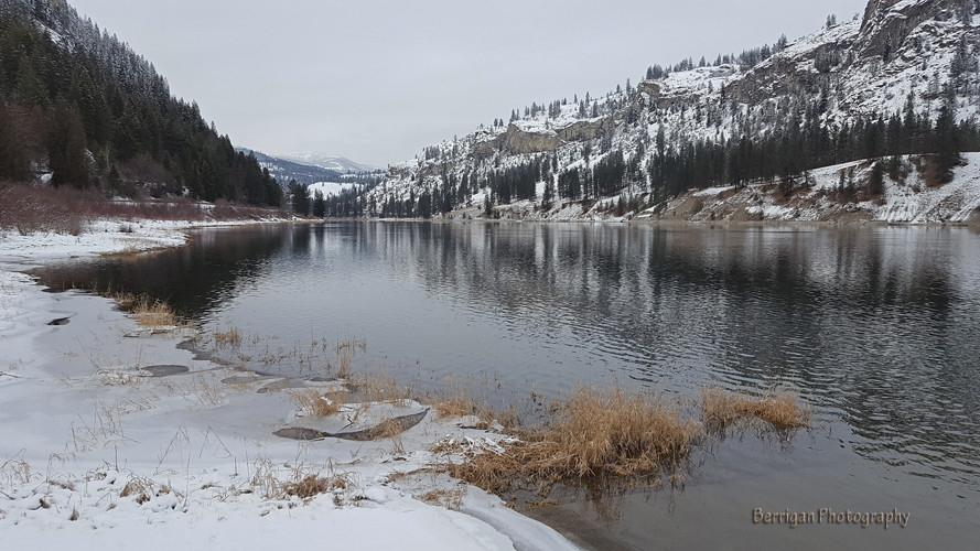
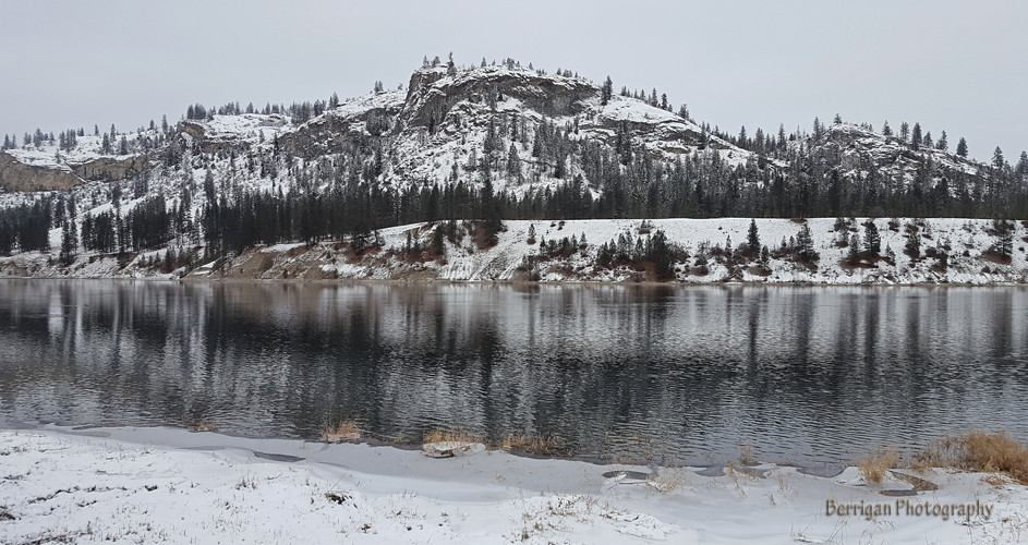
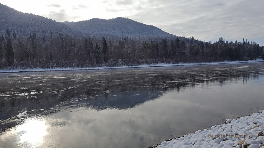
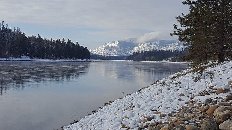
Columbia River

2010-08-09 13;20;59
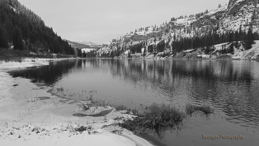
WA_120309_Columbia River_BW
Road Back to Spokane

2016-04-19 17;52;39

The Dark Horse
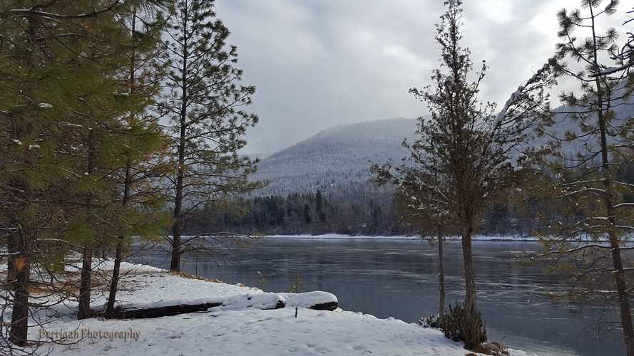
WA_105934_Columbia River
WA_120309_Columbia River

2016-04-19 19;15;00

2016-04-19 18;34;25
WA_120204_Columbia River_cropped
WA_110016_Columbia River
WA_110051_Columbia River

Houseboat 2016

Houseboat 2016
Houseboat 2016
Crossing the Columbia
Topographic Map of WA-25, Northport, WA, USA
Find elevation by address:

Places near WA-25, Northport, WA, USA:
2425 Widow Rd
Northport
Larkspur Way
4807 Wa-25
3599 Hill Loop Rd
1853 Brooks Rd
740 Redstone Drive
740 Redstone Drive
685 Redstone Drive
Thompson Avenue
2268 Aladdin Rd
1741 St Paul St
Canada Post
Rossland
Big Sheep Creek Road
Granite Mountain
Evans
540 Wellington Ave
540 Wellington Ave
540 Wellington Ave
Recent Searches:
- Elevation of Martins Mill Ct, Eagle Rock, NC, USA
- Elevation of Kippen, Stirling FK8, UK
- Elevation of Sieveringer Straße, Sieveringer Str., Wien, Austria
- Elevation of Bratskaya Ulitsa, 24, Kurgan, Kurganskaya oblast', Russia
- Elevation of Paradisvegen, Biri, Norway
- Elevation of Crystal Cir, Birmingham, AL, USA
- Elevation of N Railroad Ave, West Palm Beach, FL, USA
- Elevation of 55 Cassick Valley Rd, Wellfleet, MA, USA
- Elevation of Ironwood Dr, Minden, NV, USA
- Elevation of 高尾山口駅, Takaomachi, Hachioji, Tokyo -, Japan