Elevation of Northport, WA, USA
Location: United States > Washington > Stevens County >
Longitude: -117.78165
Latitude: 48.9160223
Elevation: 413m / 1355feet
Barometric Pressure: 96KPa
Elevation Map:
Satellite Map:
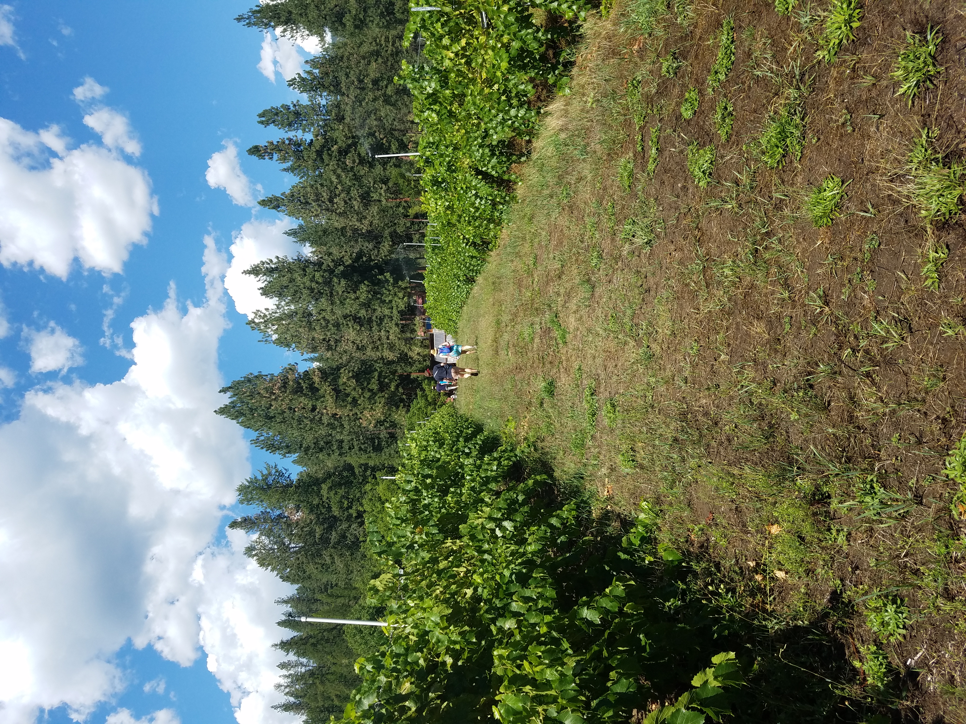
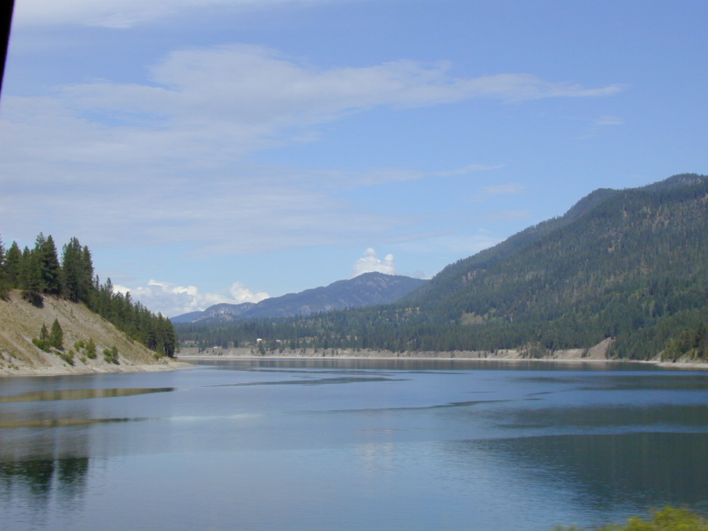
Related Photos:
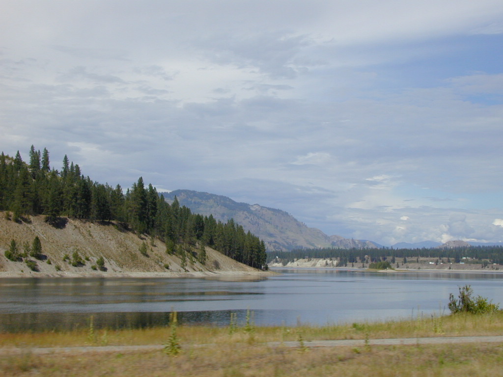
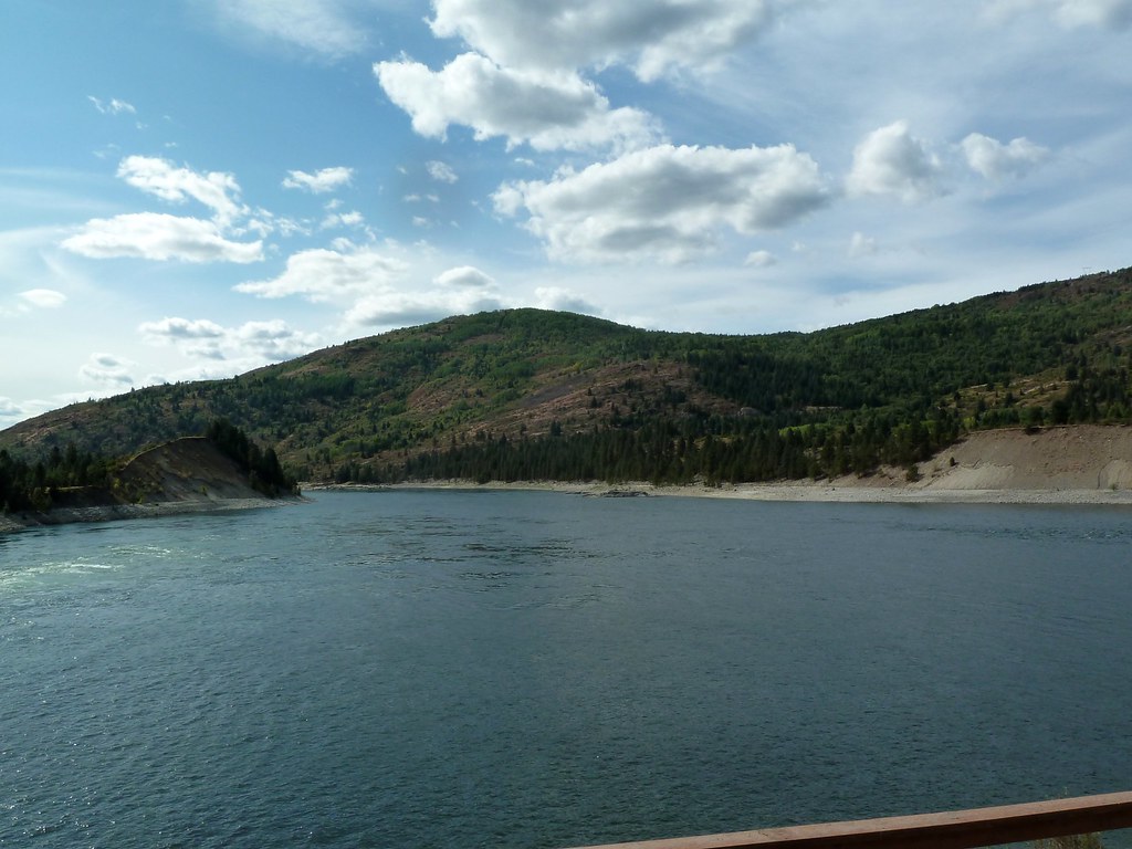
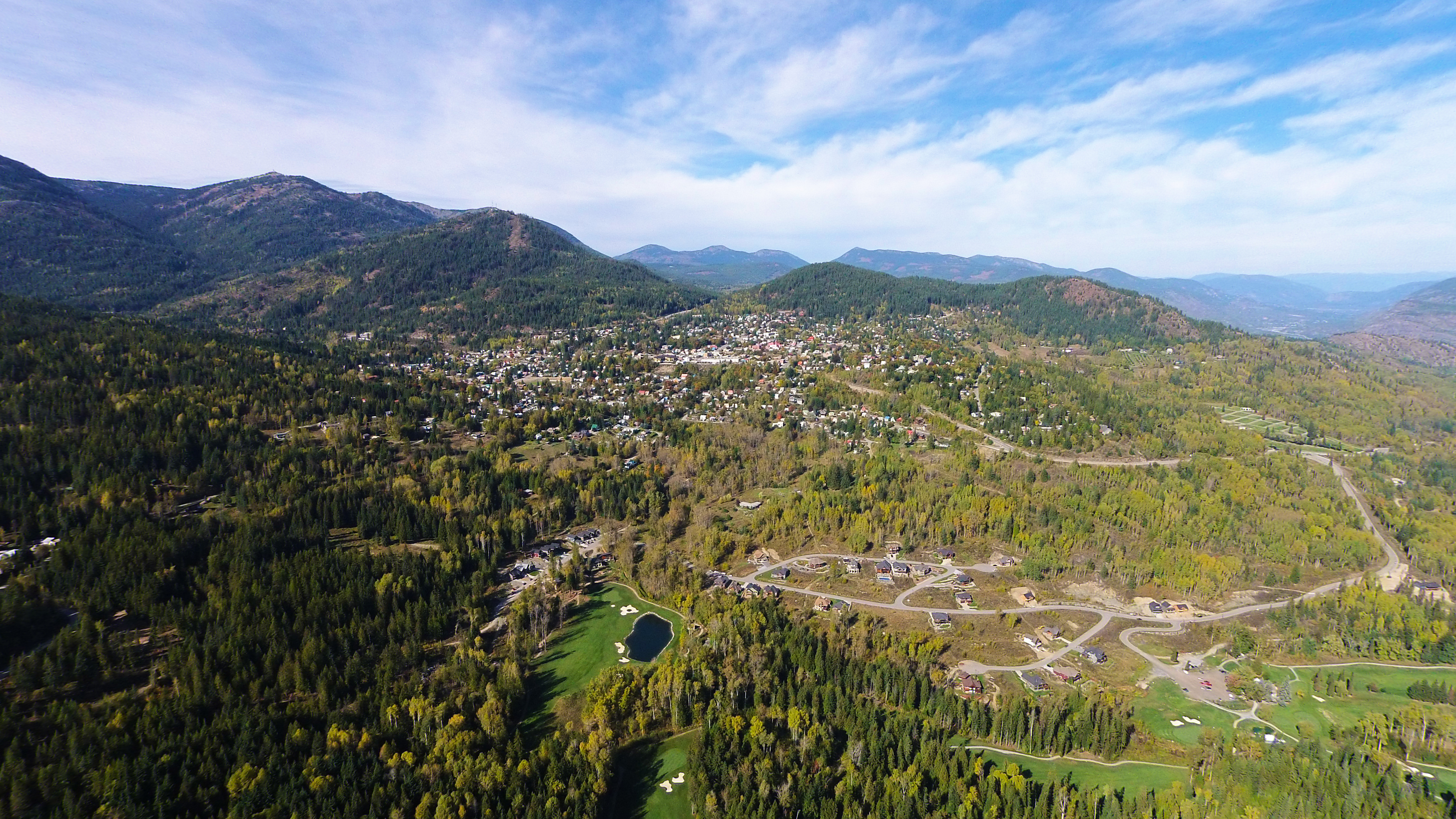
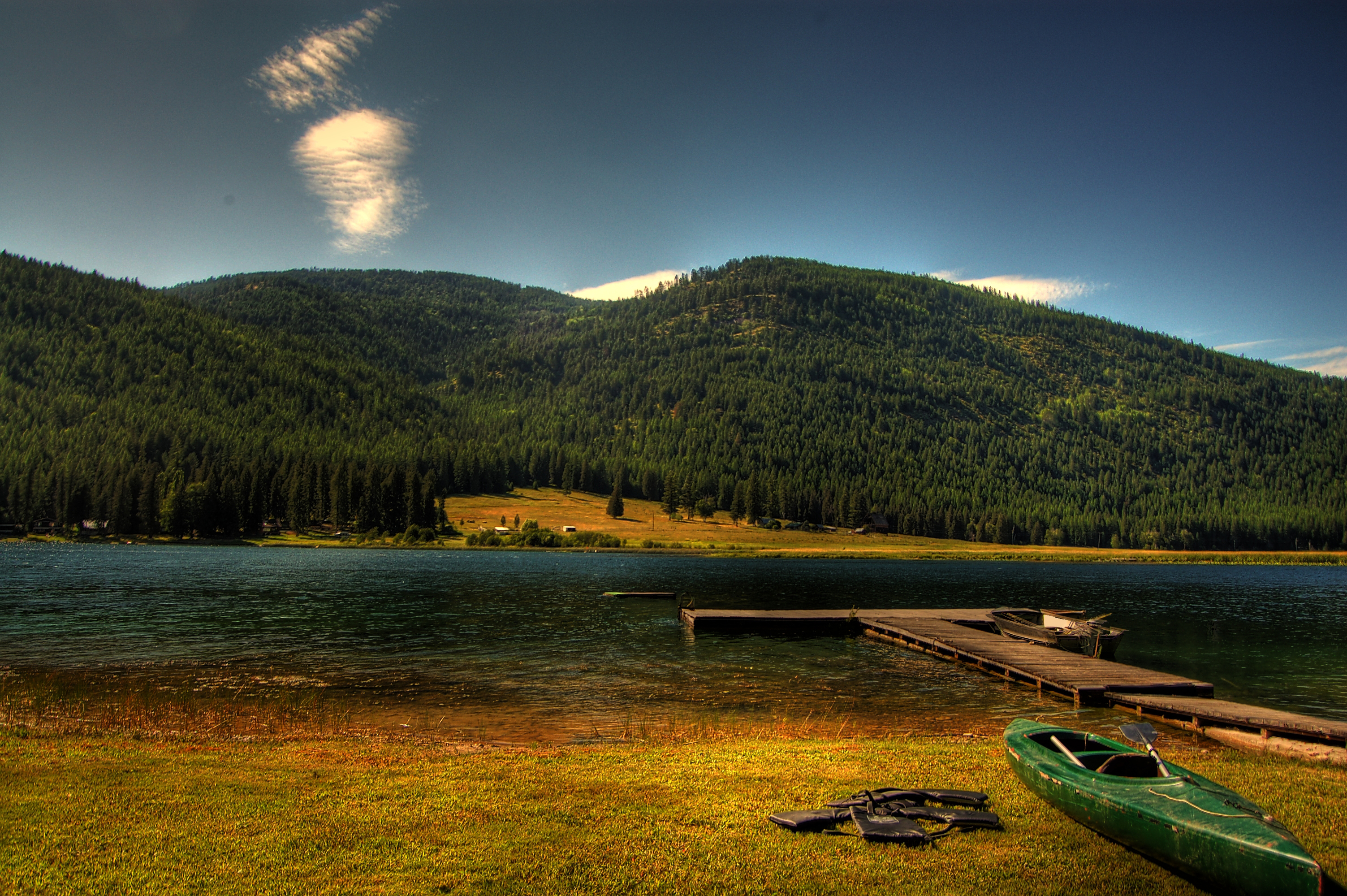
Columbia River

2016-04-19 17;53;45

2010-08-09 13;20;59
Confluence of the Pend d'Oreille and Columbia Rivers

The Dark Horse
DJI00306 copy
dock 1

Standing Apart

2016-04-19 18;34;25
Houseboat 2016
Crossing the Columbia
Topographic Map of Northport, WA, USA
Find elevation by address:

Places near Northport, WA, USA:
4807 Wa-25
3704 Wa-25
2425 Widow Rd
685 Redstone Drive
740 Redstone Drive
740 Redstone Drive
Thompson Avenue
1741 St Paul St
Canada Post
Rossland
540 Wellington Ave
540 Wellington Ave
540 Wellington Ave
540 Wellington Ave
540 Wellington Ave
540 Wellington Ave
540 Wellington Ave
540 Wellington Ave
540 Wellington Ave
540 Wellington Ave
Recent Searches:
- Elevation of Dog Leg Dr, Minden, NV, USA
- Elevation of Dog Leg Dr, Minden, NV, USA
- Elevation of Kambingan Sa Pansol Atbp., Purok 7 Pansol, Candaba, Pampanga, Philippines
- Elevation of Pinewood Dr, New Bern, NC, USA
- Elevation of Mountain View, CA, USA
- Elevation of Foligno, Province of Perugia, Italy
- Elevation of Blauwestad, Netherlands
- Elevation of Bella Terra Blvd, Estero, FL, USA
- Elevation of Estates Loop, Priest River, ID, USA
- Elevation of Woodland Oak Pl, Thousand Oaks, CA, USA