Elevation of Whitlash, MT, USA
Location: United States > Montana > Whitlash >
Longitude: -111.15866
Latitude: 48.9384611
Elevation: 1219m / 3999feet
Barometric Pressure: 88KPa
Elevation Map:
Satellite Map:
Related Photos:

Whitlash, Montana 59545

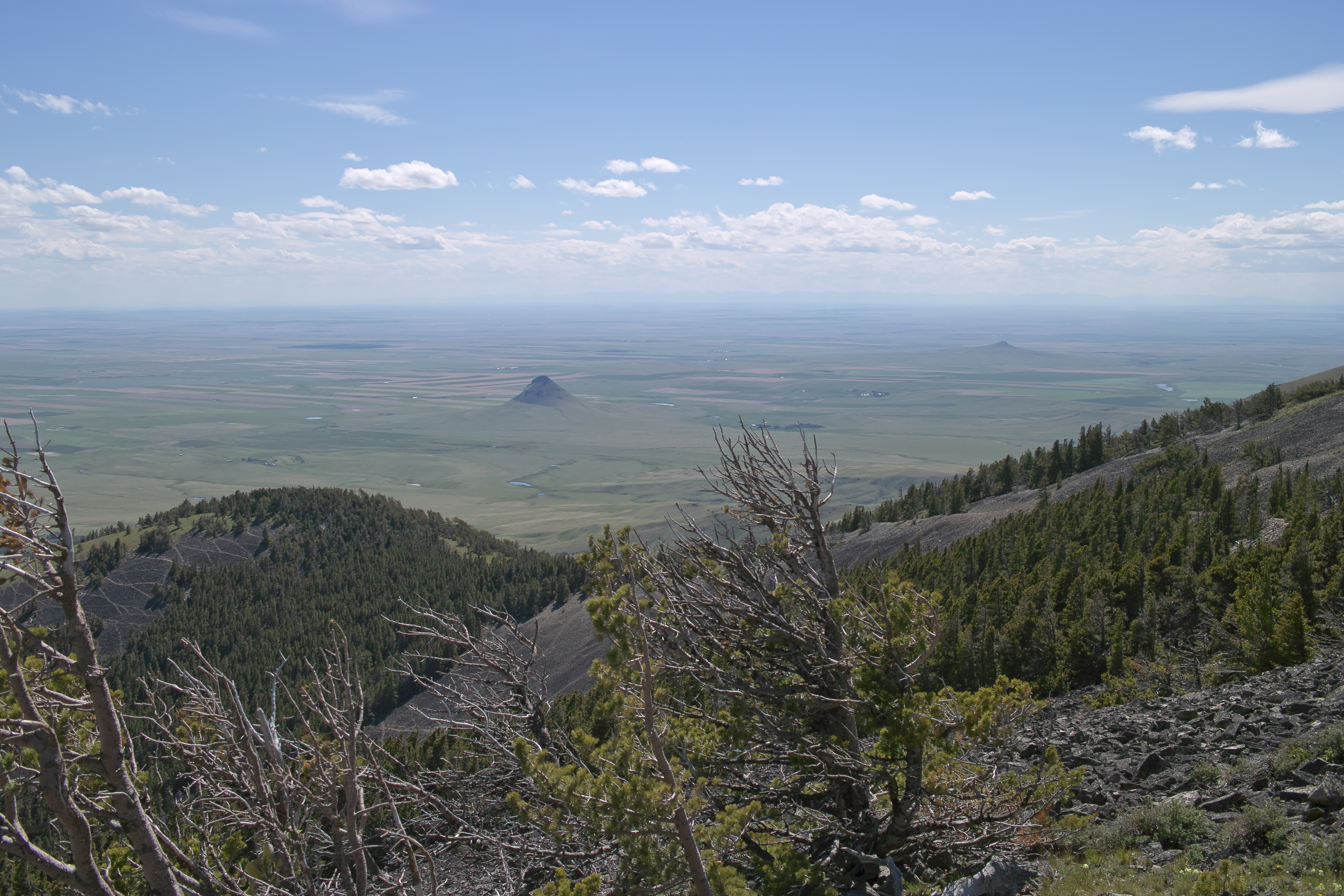
DSC_1621 view to north from Sweetgrass Hills, MT
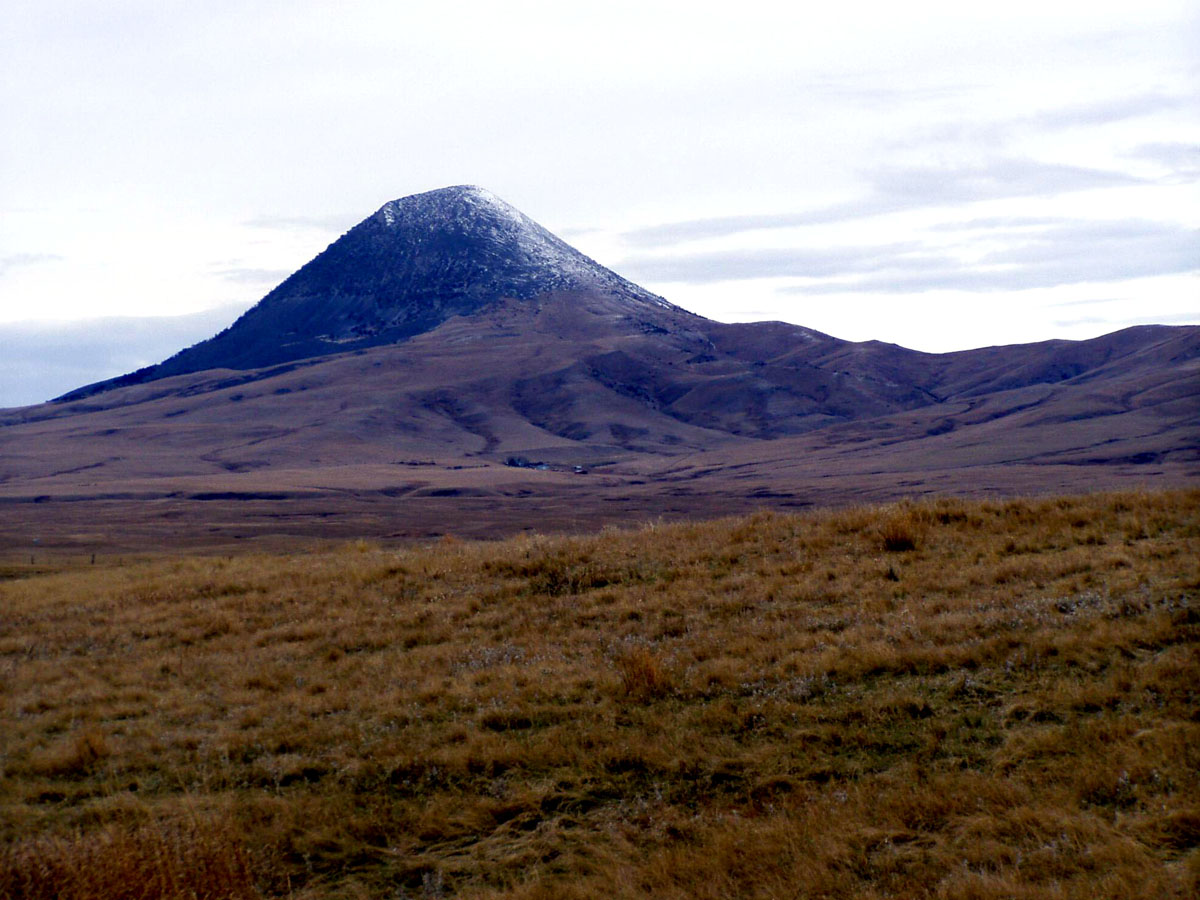
SDIM8089 East Butte, MT
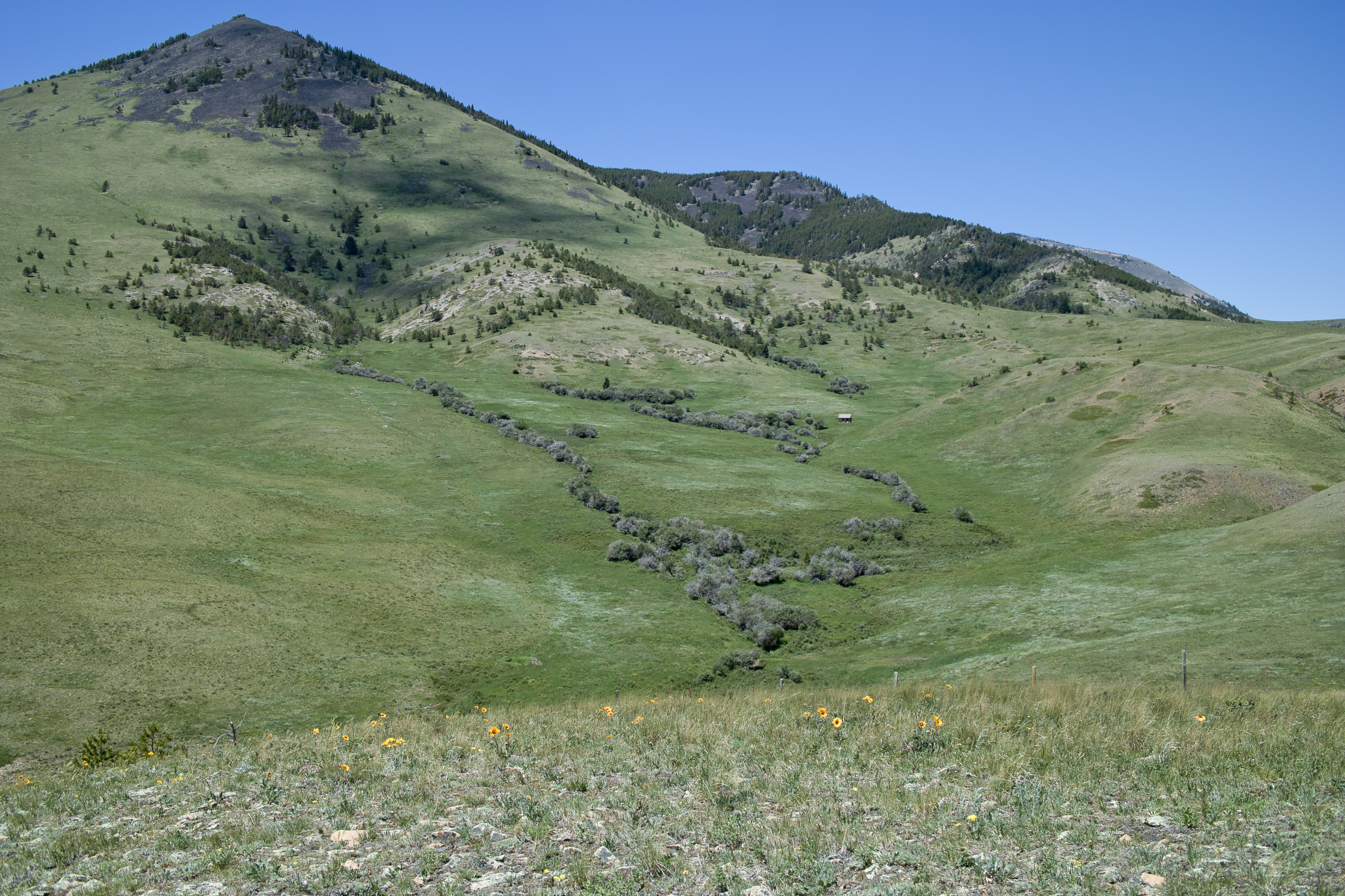
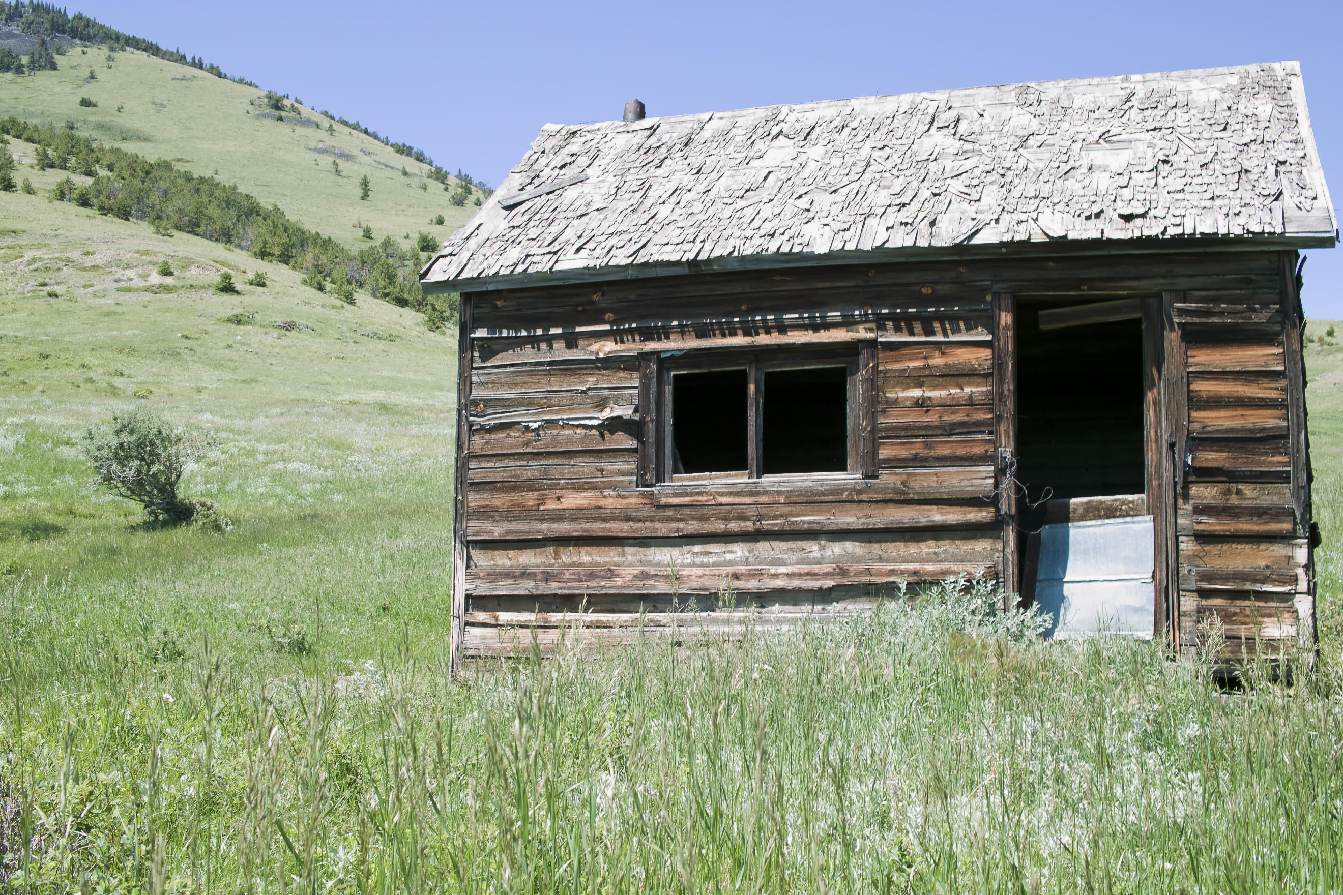
SDIM8098 old hut in Sweetgrass Hills, MT
DSC_1626 trailhead and Mount Brown behind
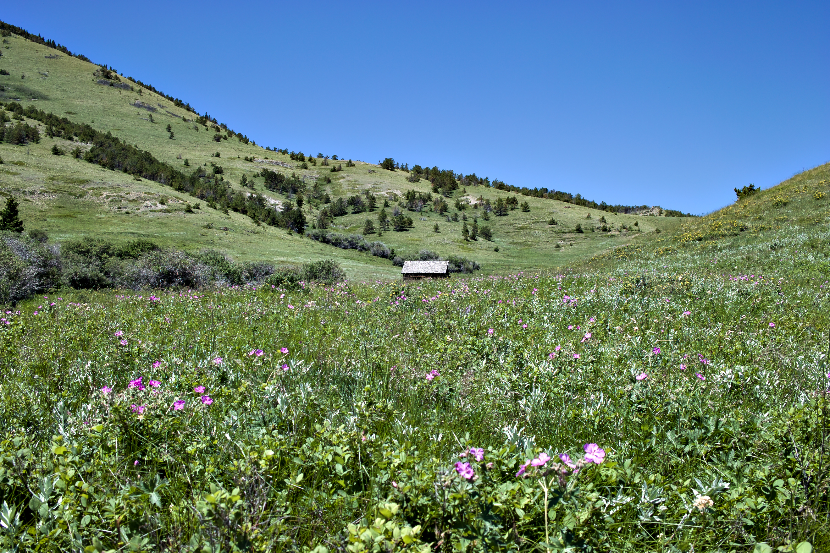
SDIM8095 hut in distance
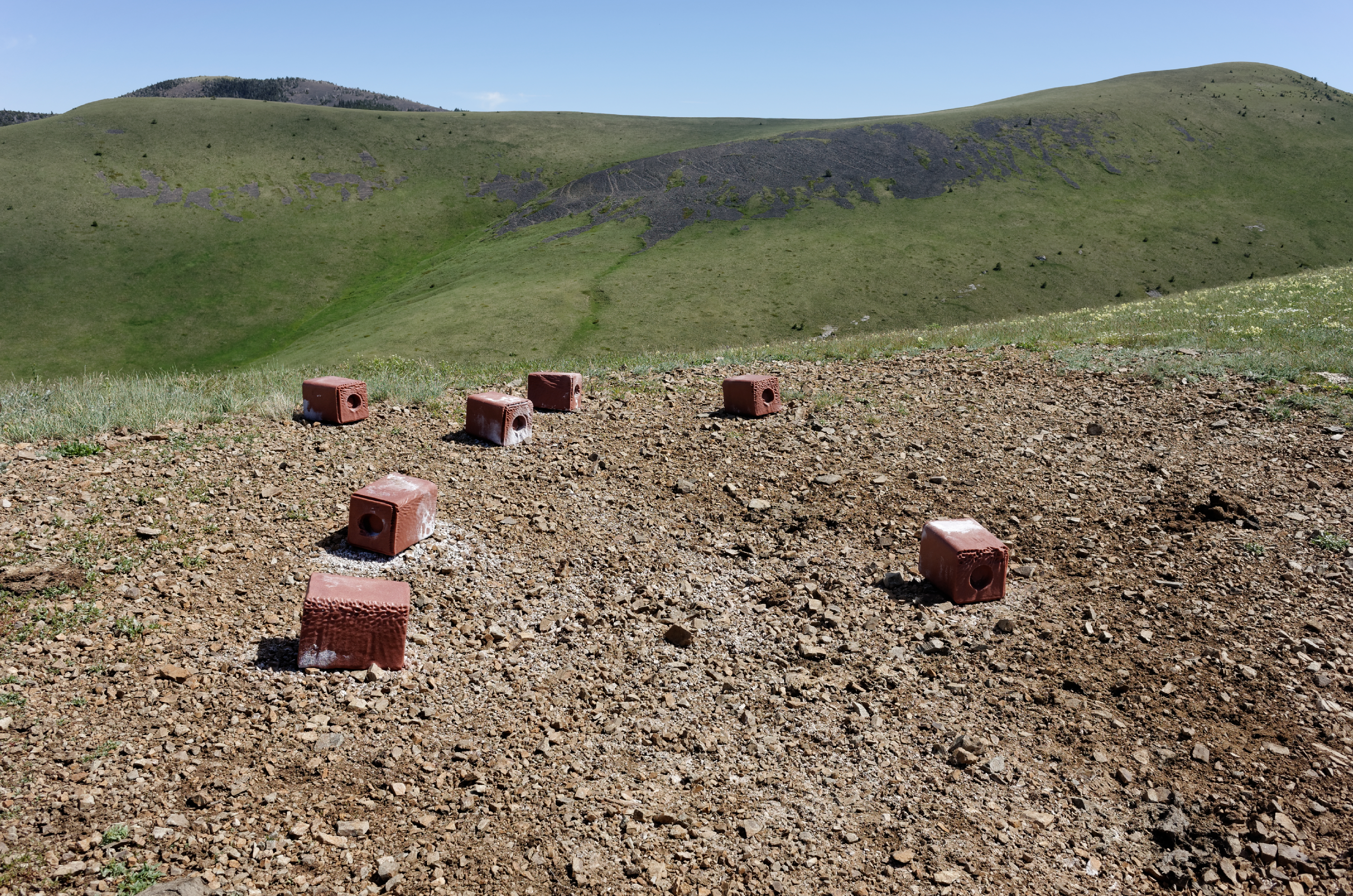
salt lick blocks on the Sweetgrass Hills, Montana
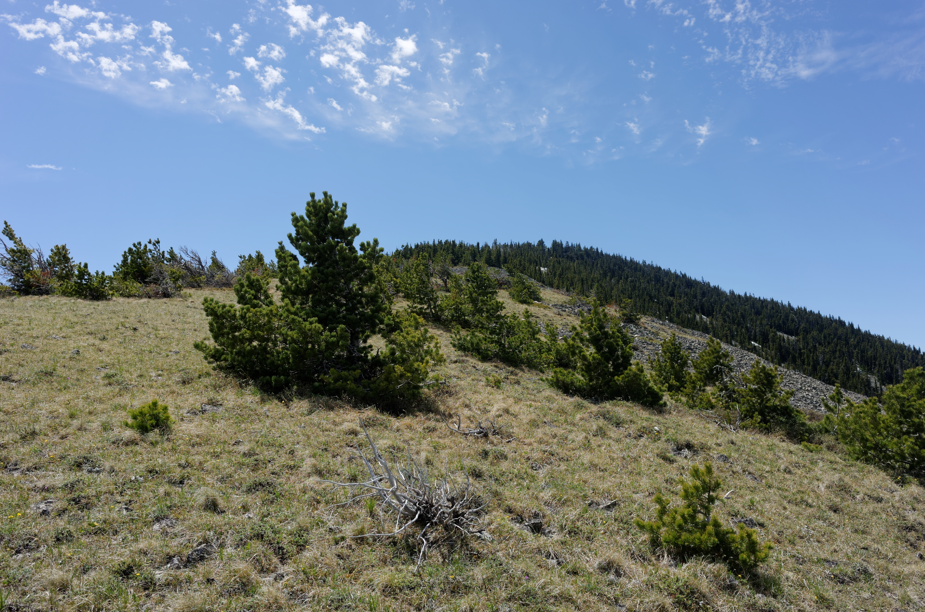
DSC_1603 just below the summit of Mt Brown

Whitlash, Montana 59545

DSC_1568 Seven Room Caves, Montana

DSC_1576 Seven Room Caves, Montana

DSC_1592 Seven Room Caves, Montana

DSC_1587 Seven Room Caves, Montana

DSC_1599 Sweetgrass Hills, Monata

Laird, Montana
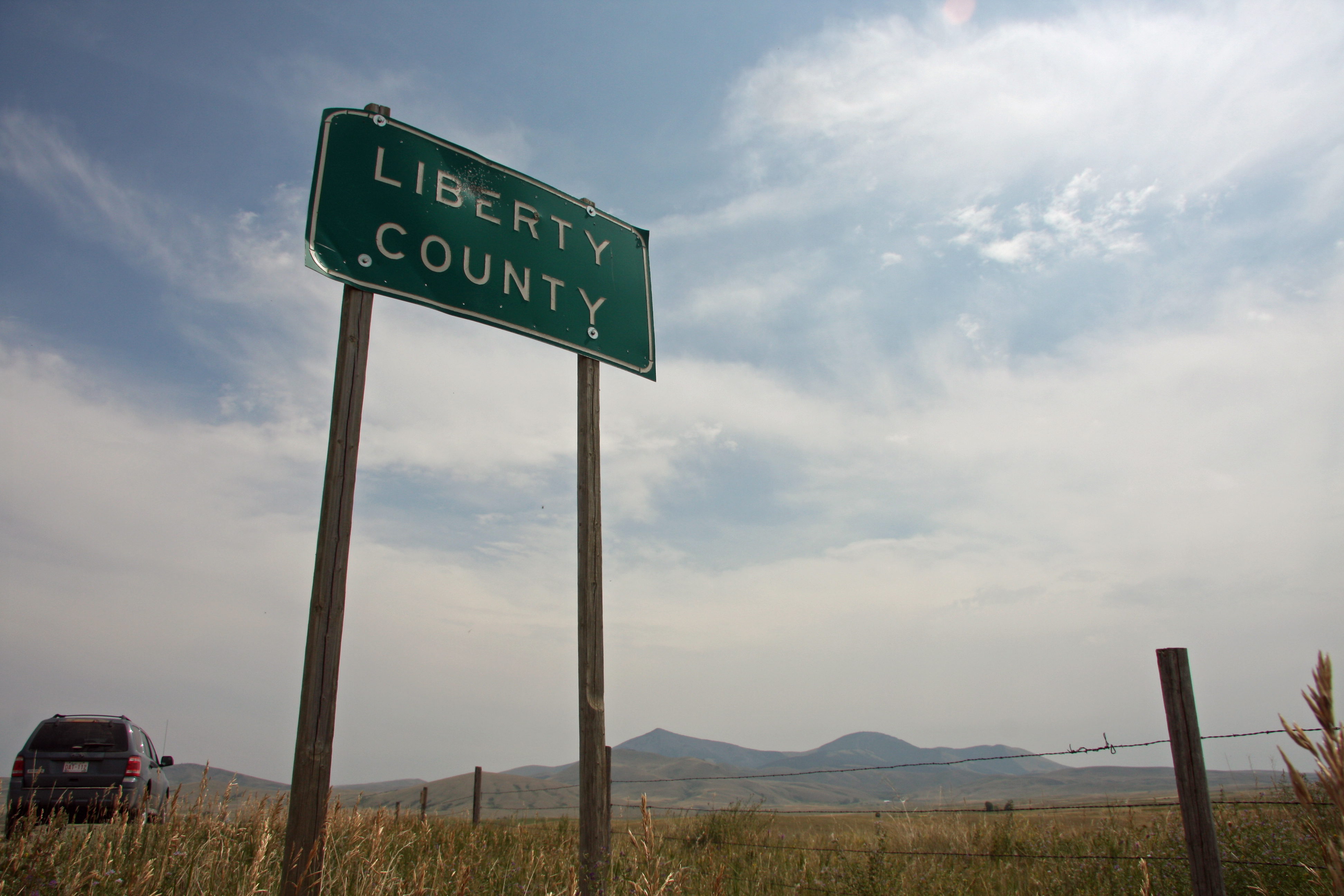
Liberty County - Montana

Whitlash, Montana 59545

Whitlash, Montana 59545
SDIM8100 hut

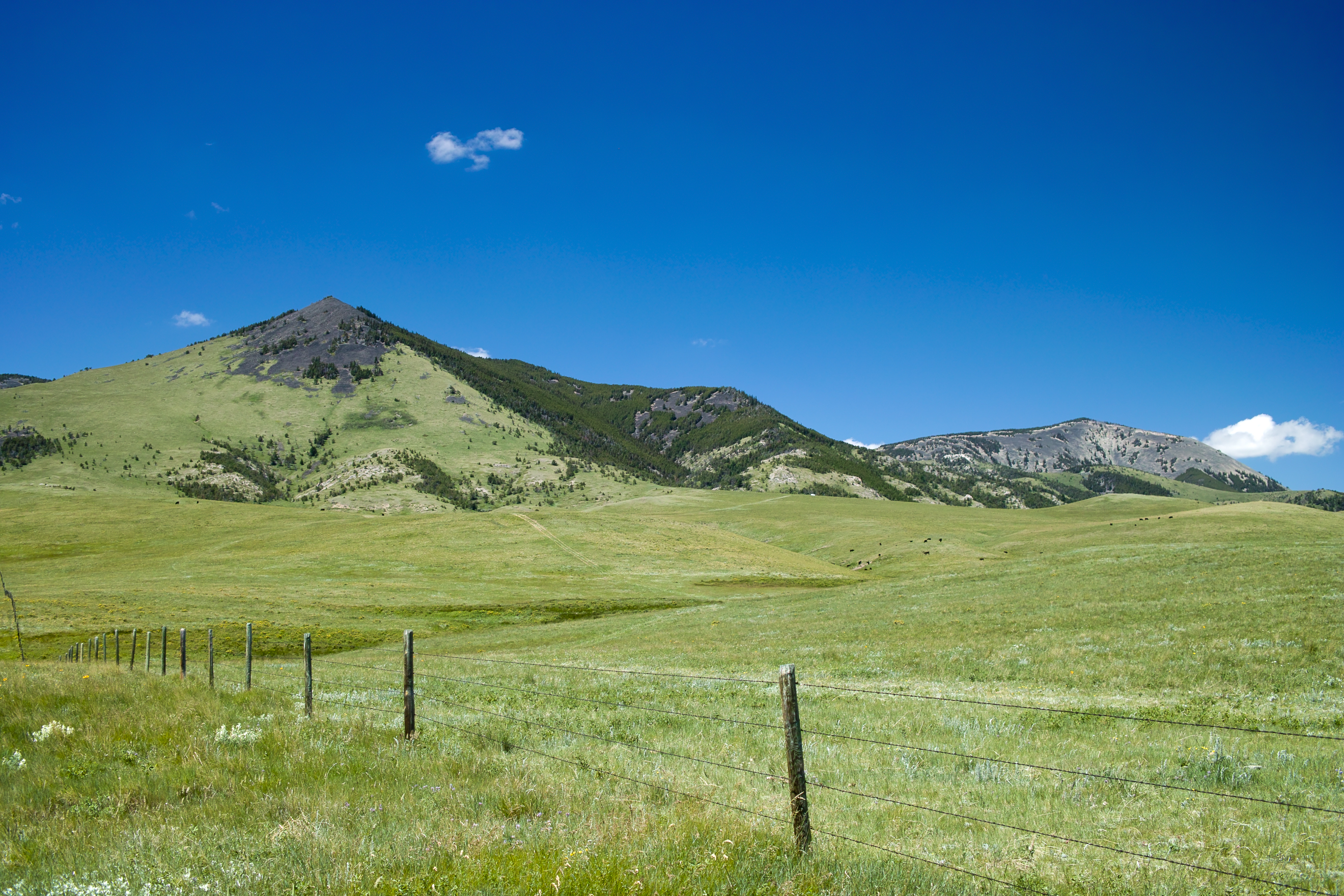
SDIM8087 fence and sign on Windy Ridge Road

SDIM8206 the cows come home
SDIM8169 Haystack Butte
Goldbutte, Montana
Topographic Map of Whitlash, MT, USA
Find elevation by address:

Places near Whitlash, MT, USA:
Mount Brown
Whitlash
Sweet Grass Hills
Ferdig Rd, Oilmont, MT, USA
Galata
Toole County
Oilmont
Sunburst
Welker Farms
U.s. Customs And Border Protection
64 1st Ave
Sweet Grass
Shelby
O'haire Manor Motel Of Shelby
1948 W Roosevelt Hwy
US-2, Shelby, MT, USA
Potter Rd, Shelby, MT, USA
Faris School Rd, Brady, MT, USA
Milk River
950 Main St Nw
Recent Searches:
- Elevation of Royal Ontario Museum, Queens Park, Toronto, ON M5S 2C6, Canada
- Elevation of Groblershoop, South Africa
- Elevation of Power Generation Enterprises | Industrial Diesel Generators, Oak Ave, Canyon Country, CA, USA
- Elevation of Chesaw Rd, Oroville, WA, USA
- Elevation of N, Mt Pleasant, UT, USA
- Elevation of 6 Rue Jules Ferry, Beausoleil, France
- Elevation of Sattva Horizon, 4JC6+G9P, Vinayak Nagar, Kattigenahalli, Bengaluru, Karnataka, India
- Elevation of Great Brook Sports, Gold Star Hwy, Groton, CT, USA
- Elevation of 10 Mountain Laurels Dr, Nashua, NH, USA
- Elevation of 16 Gilboa Ln, Nashua, NH, USA