Elevation of Milk River, AB T0K 1M0, Canada
Location: Canada > Alberta > Division No. 2 > Warner County No. 5 >
Longitude: -112.08691
Latitude: 49.1501259
Elevation: 1048m / 3438feet
Barometric Pressure: 89KPa
Elevation Map:
Satellite Map:
Related Photos:

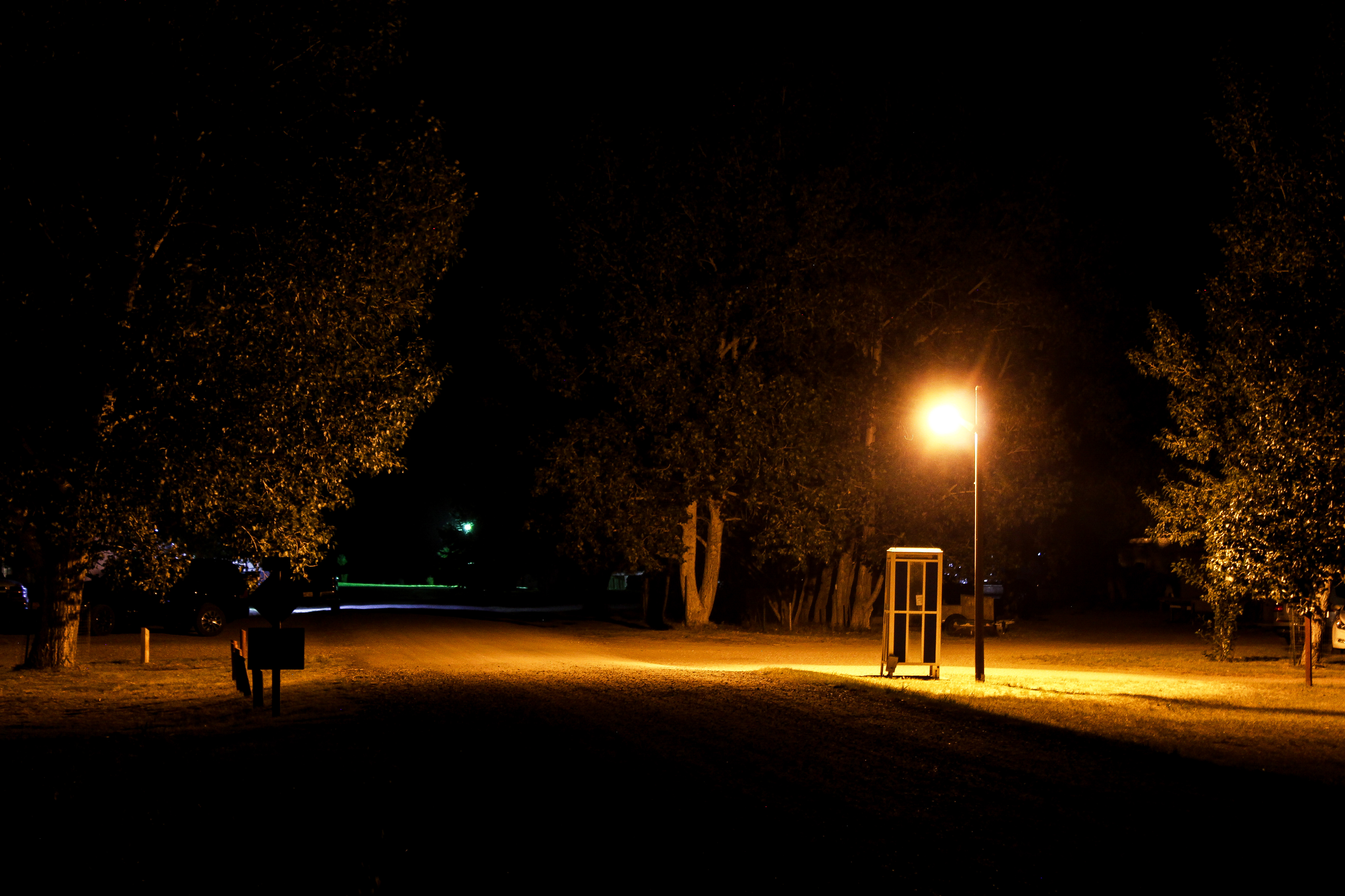
20090624-G9-IMG_1200
Taken on "the 501"
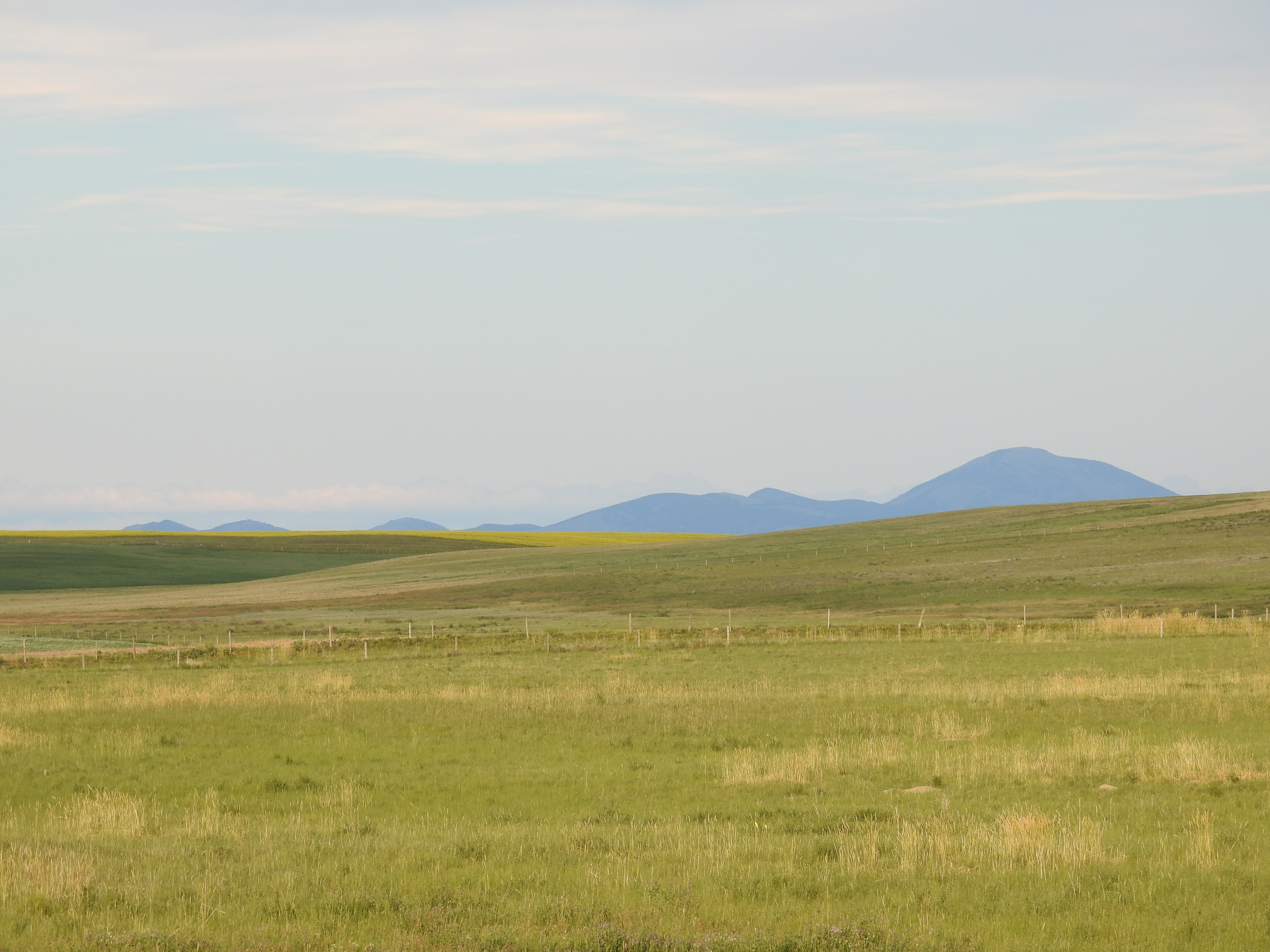
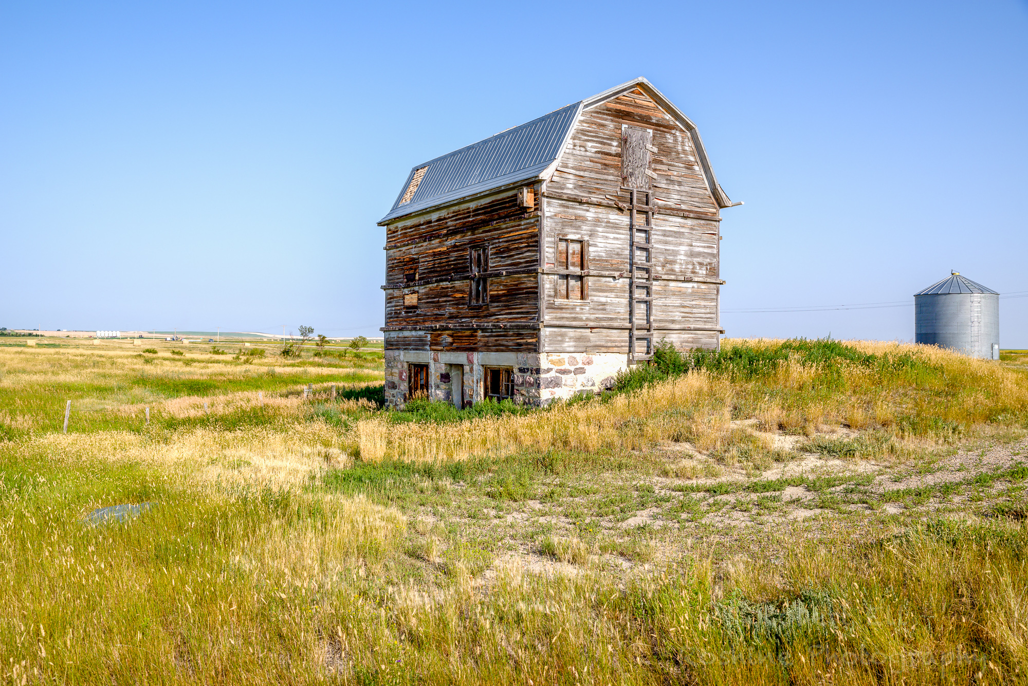
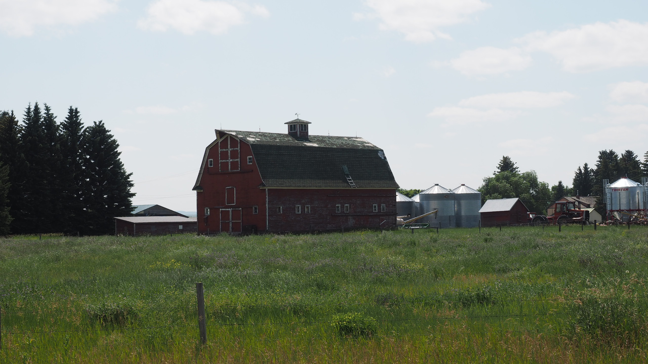
Farm near Coutts, Alberta

For a fantastic 3 day canoe or kayak trip check out the Milk River in SE Alberta. Just beware of all the rocks #explorealberta #paddling
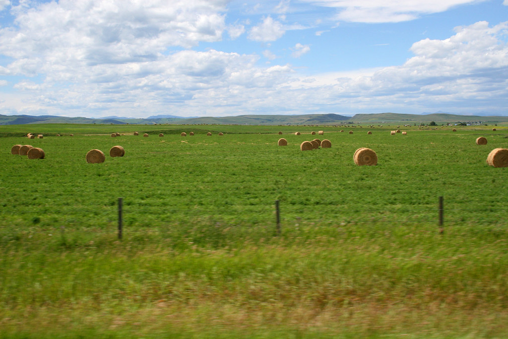
Open Fields IMG_0407e1
Milk River
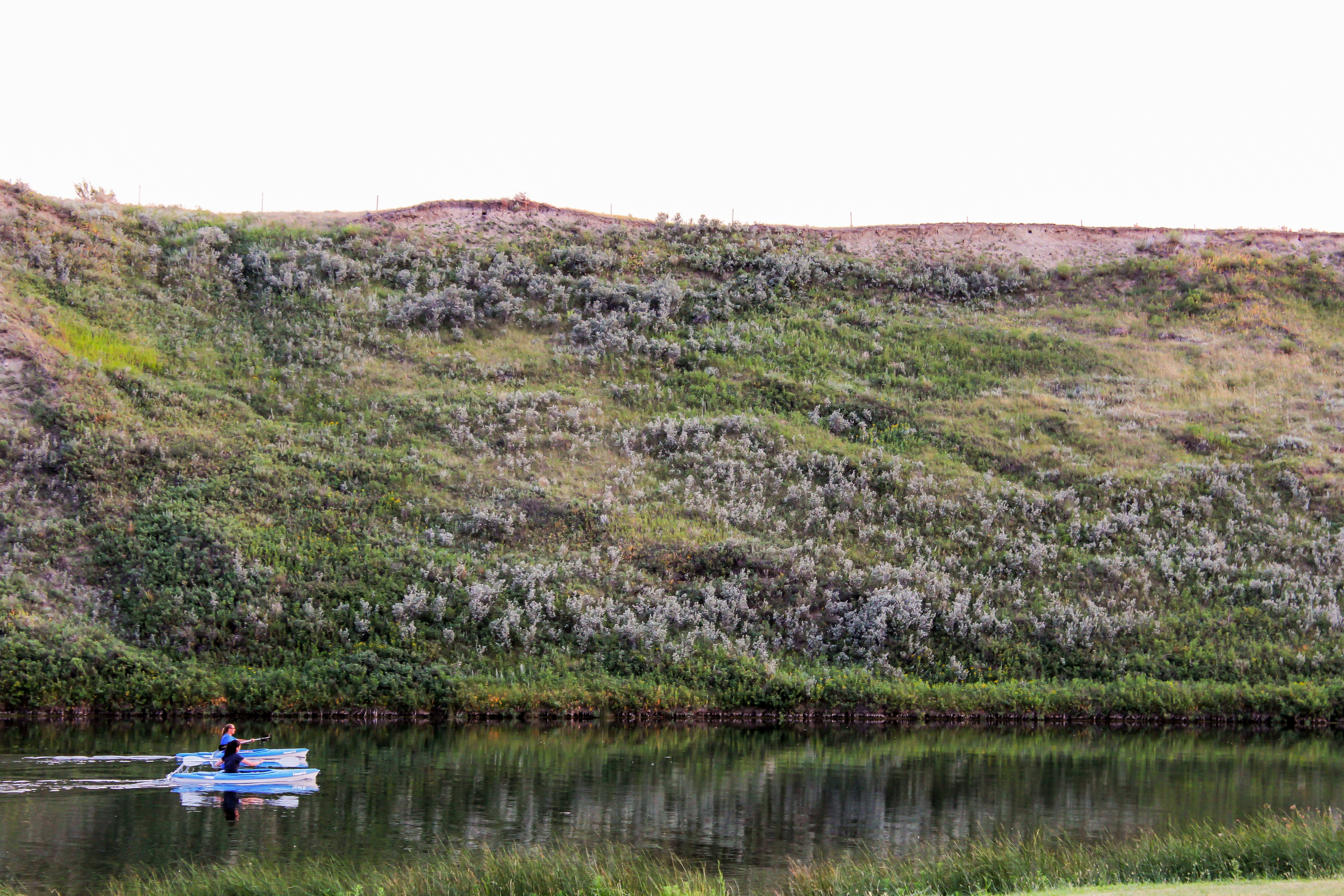
Kayaks at Gold Springs
Warner town
ROSH5637-Edit.jpg
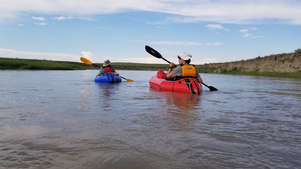
2018 Day 173 - Paddling the Milk River
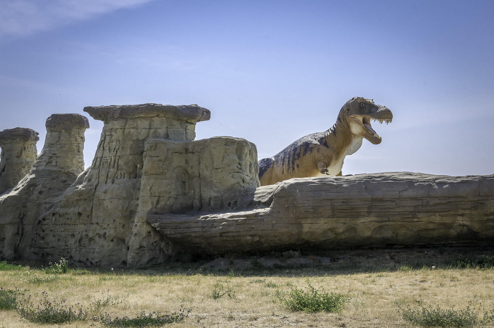
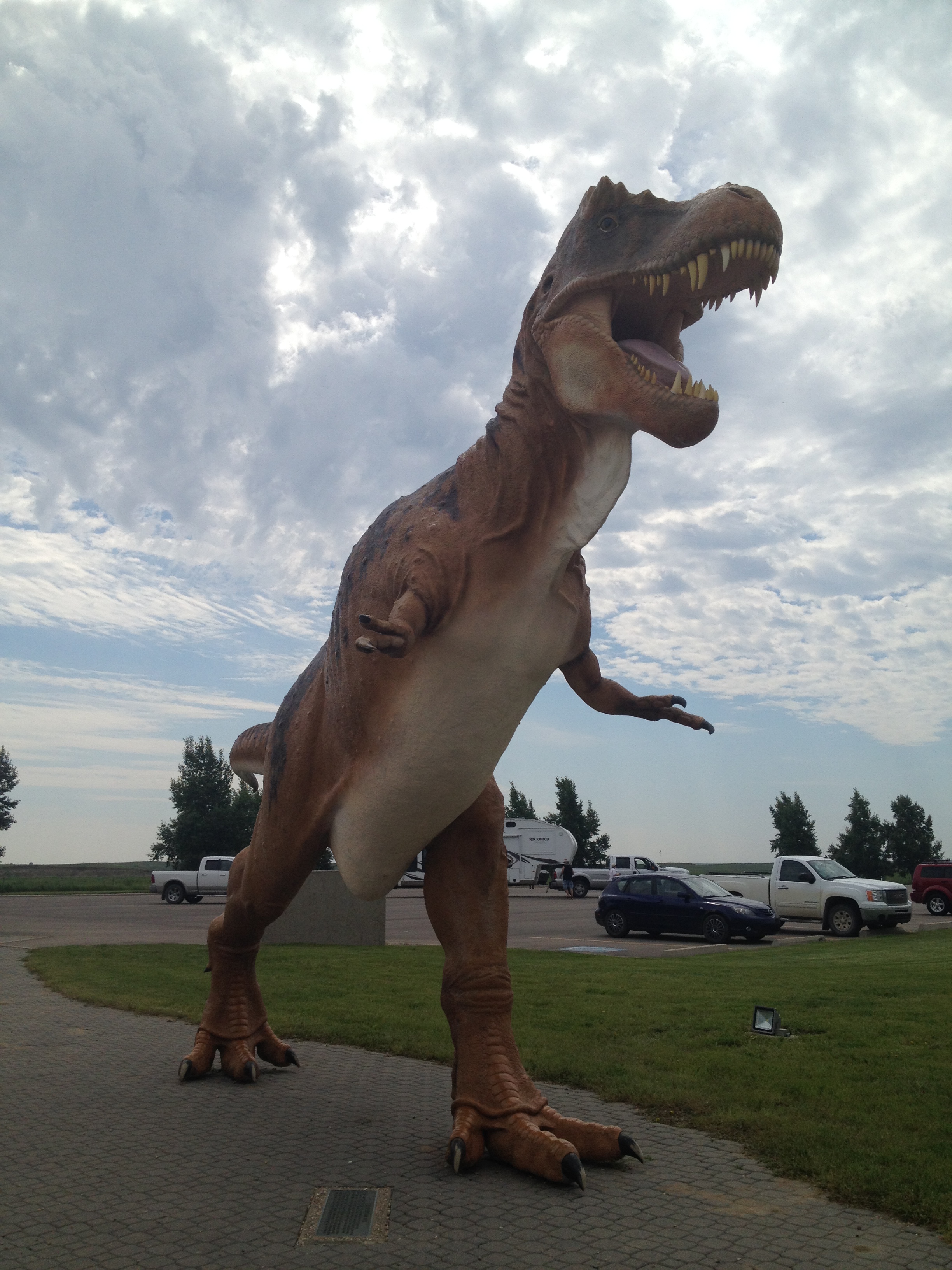
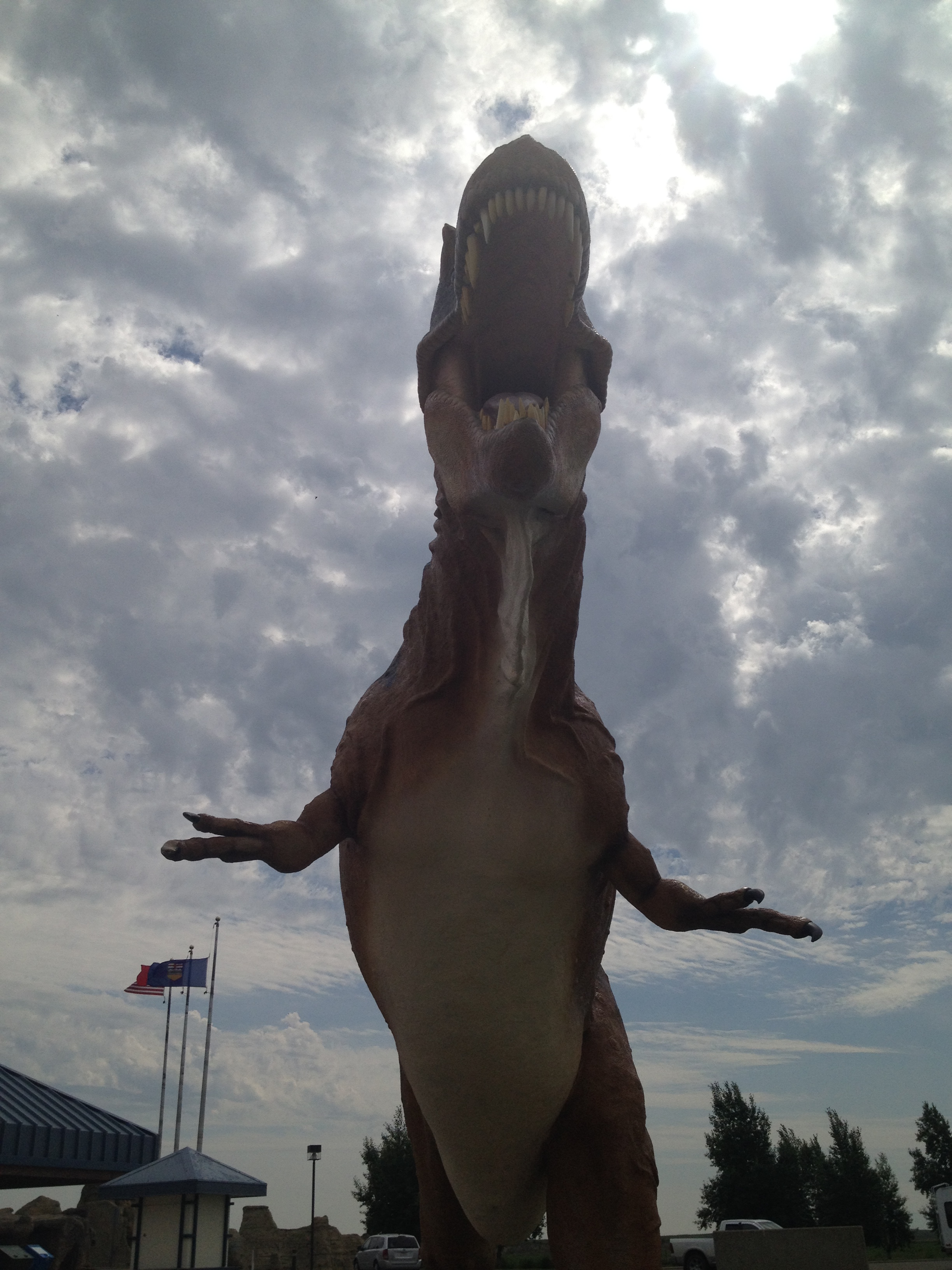
T-Rex
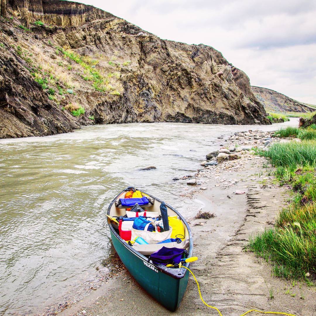
This is a great time of year to do the 3 day canoe trip on the Milk River. No camping reservations needed and it's easy to organize a canoe shuttle #canoeing #explorealberta
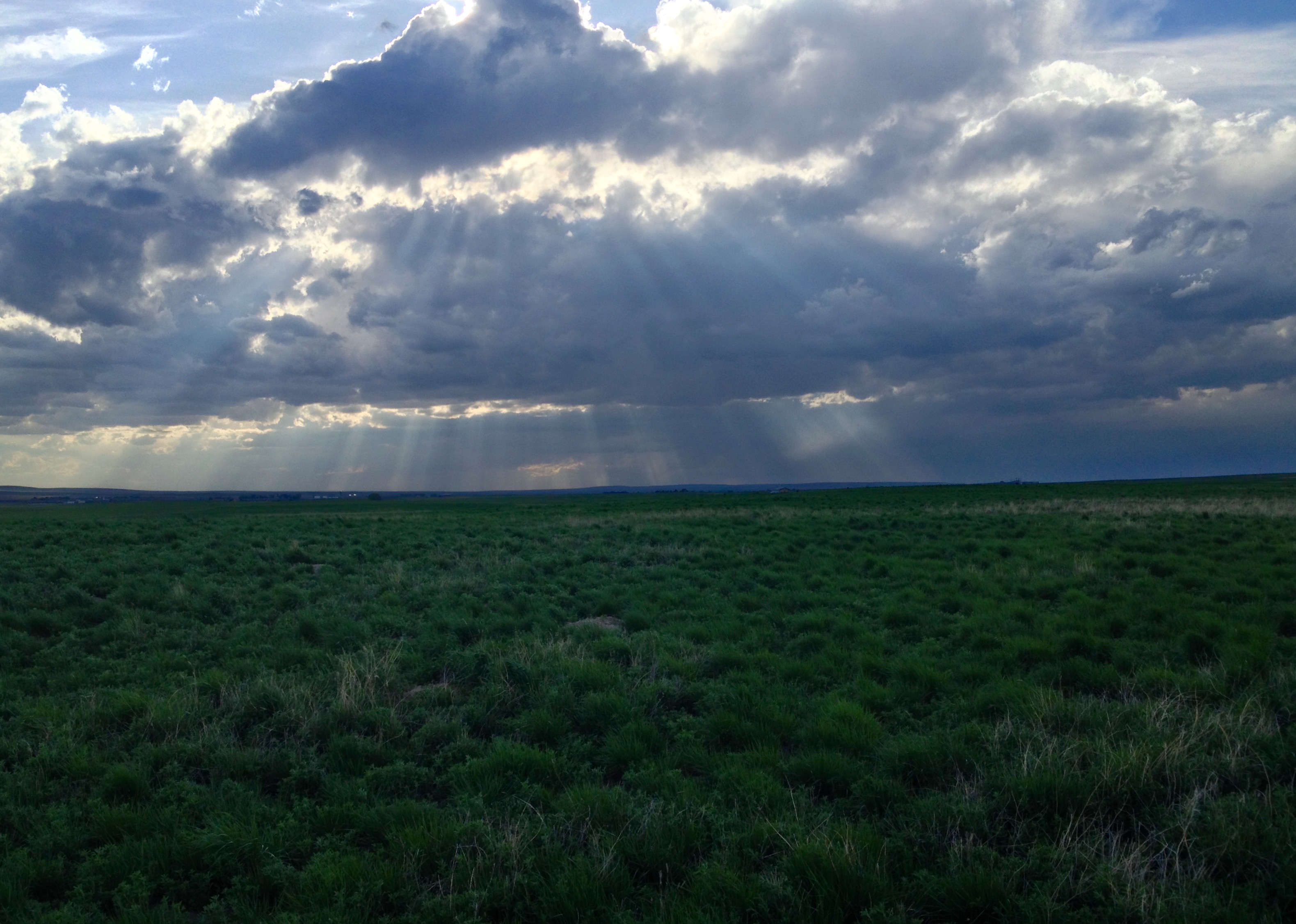
Rain Ahead
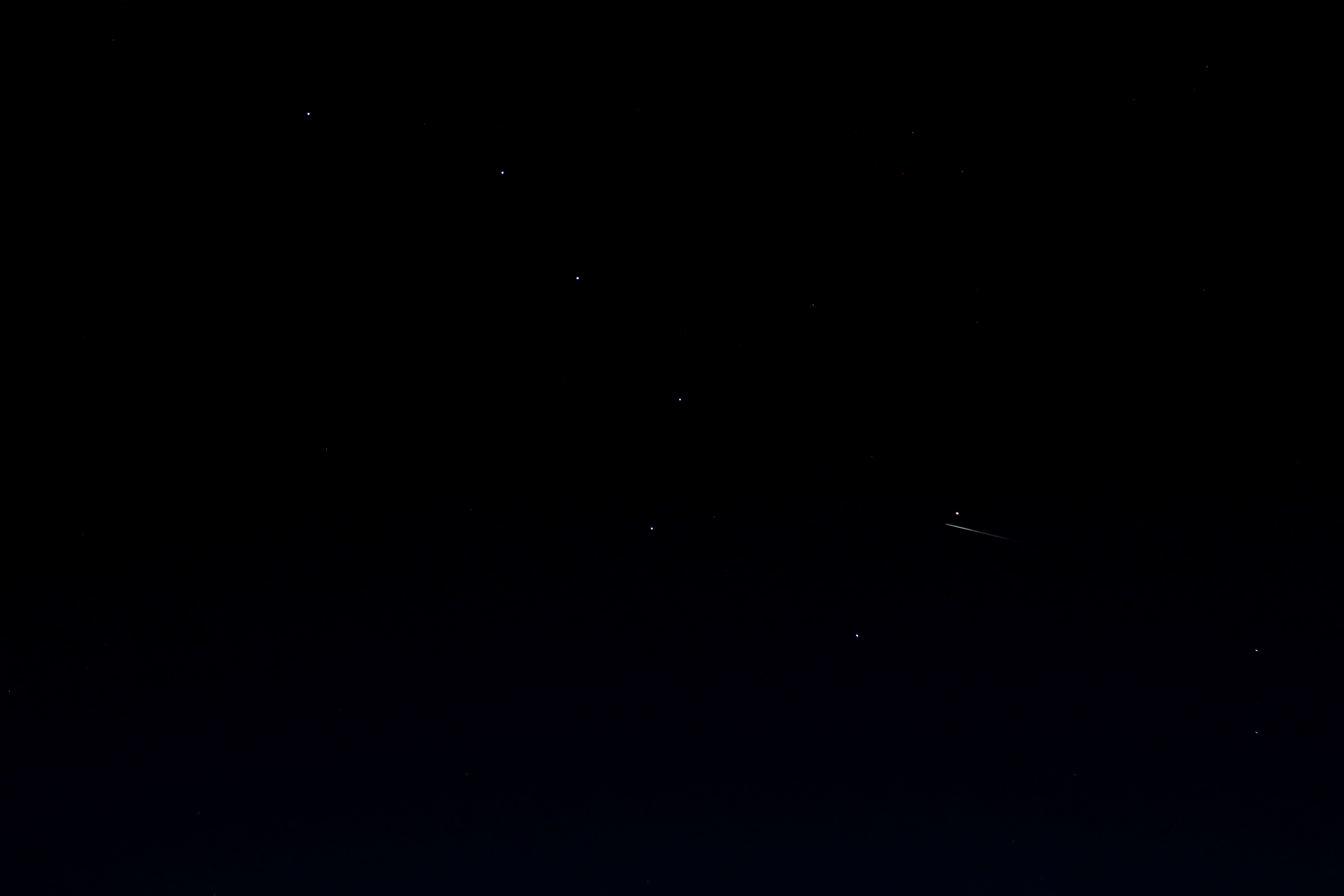
Big Dipper
Gold Springs Park
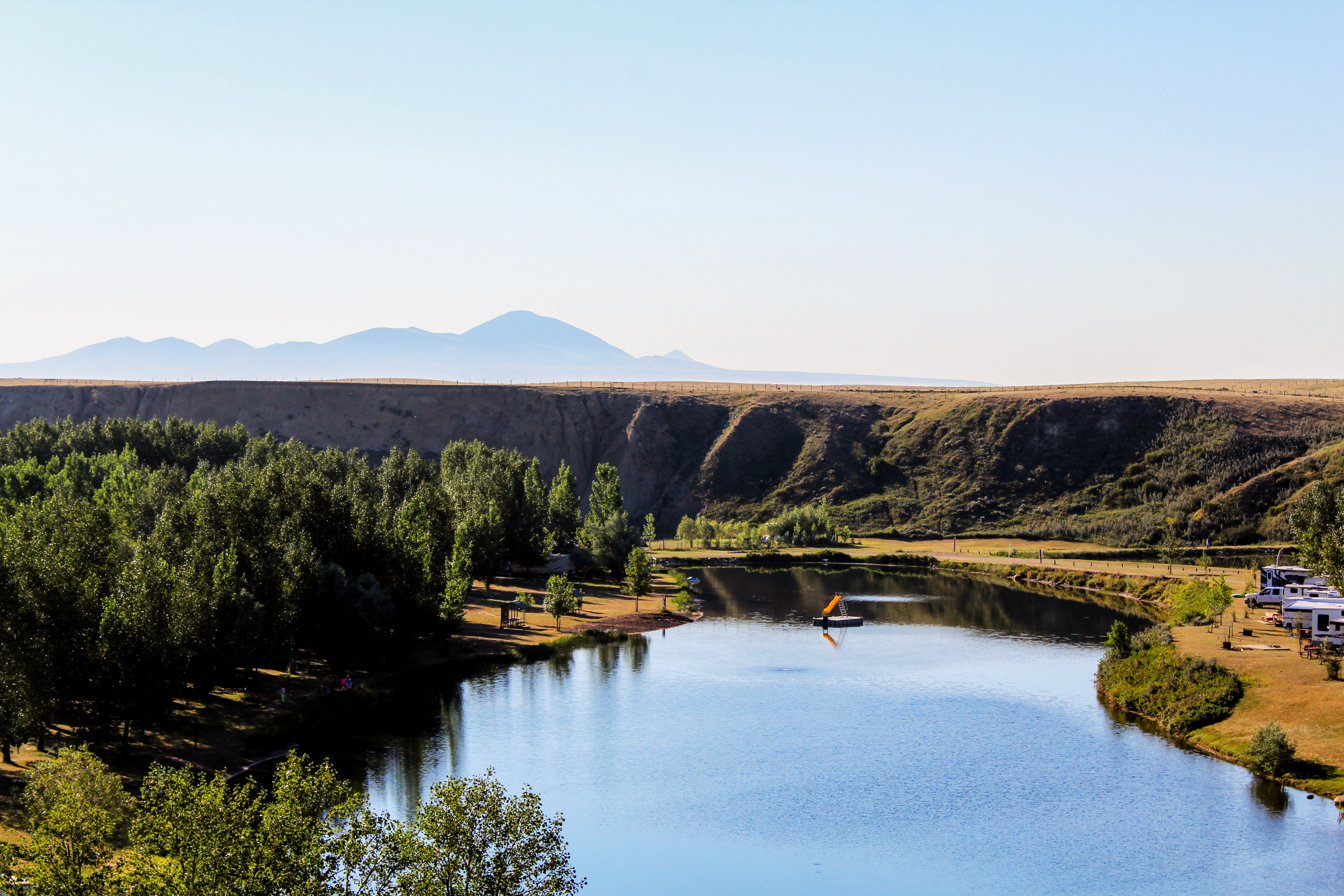
Gold Springs Park with Sweet Grass Hills
Milk River town
Milk River town
Road Trip to Canada
Road Trip to Canada
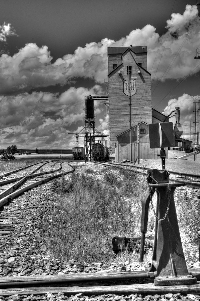
_DSC1780 P&H HDR
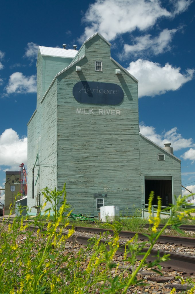
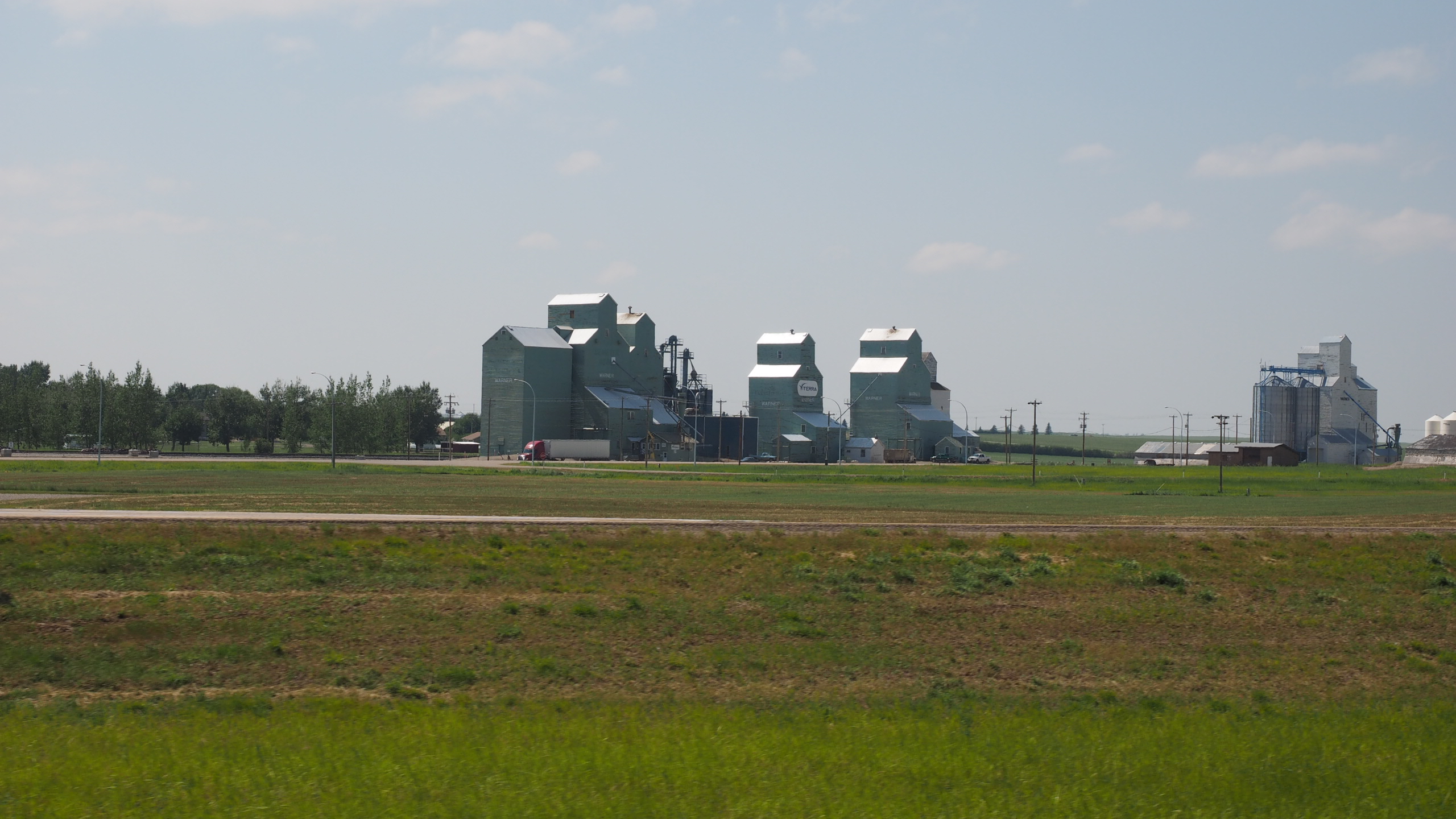
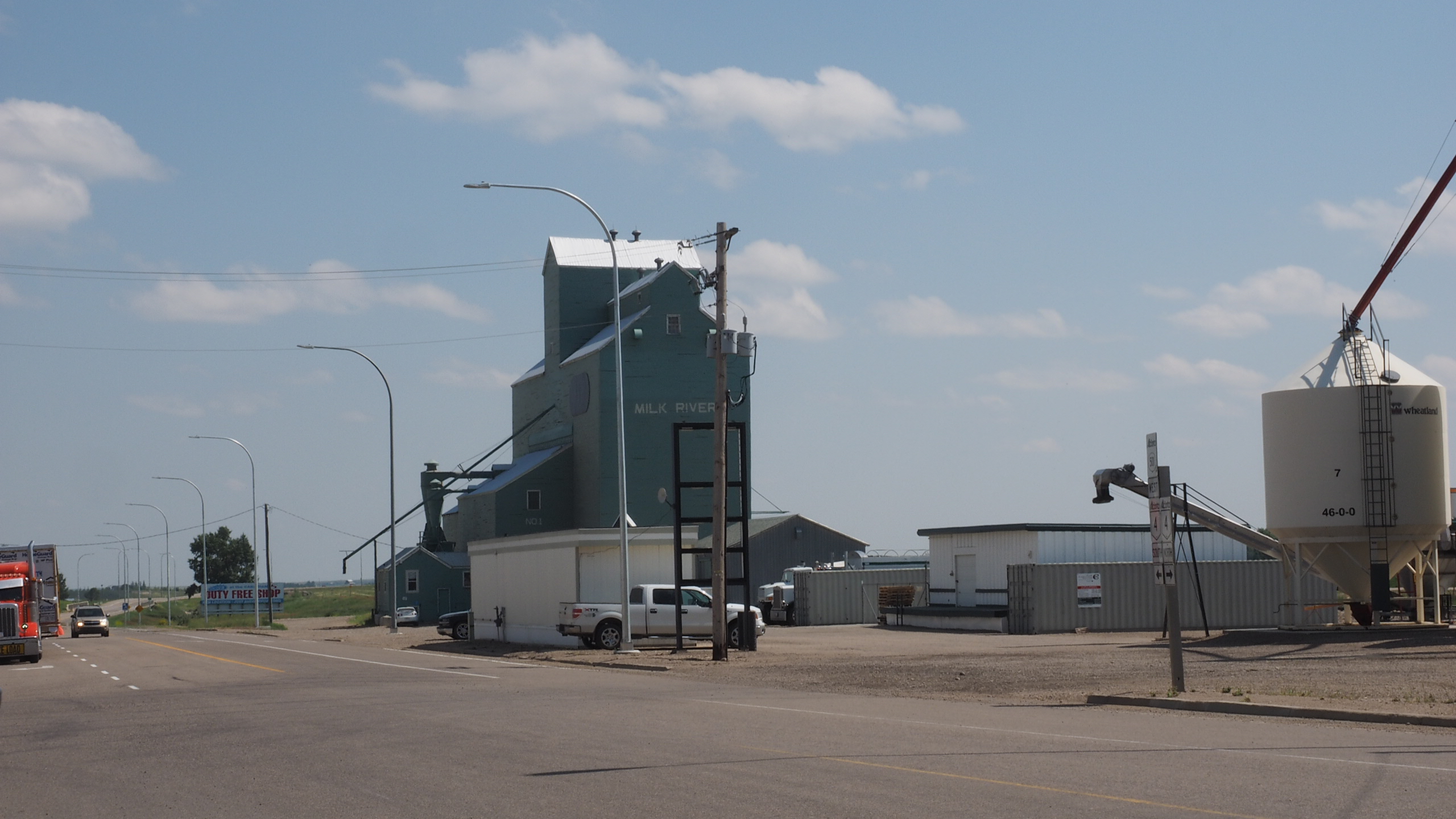
_DSC1777 Agricore Elevator

Doc Watson

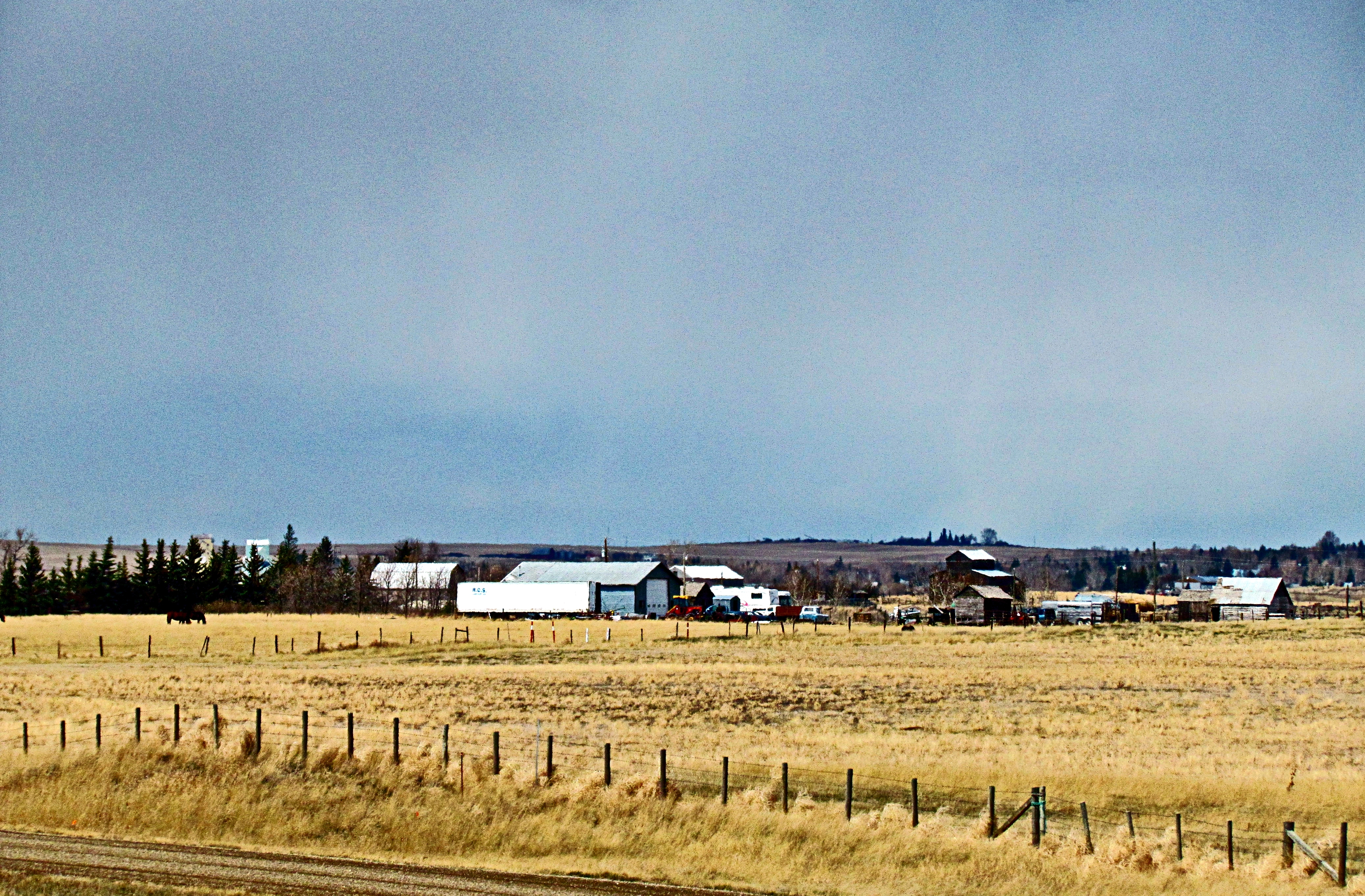
Elevators in Milk River, Alberta

Going home.
Topographic Map of Milk River, AB T0K 1M0, Canada
Find elevation by address:

Places near Milk River, AB T0K 1M0, Canada:
950 Main St Nw
Sweet Grass
U.s. Customs And Border Protection
64 1st Ave
Sunburst
Tipville Rd, Cut Bank, MT, USA
Oilmont
Potter Rd, Shelby, MT, USA
81 Luedtke Rd
21 Luedtke Rd
Cut Bank
620 1st St Se
Ferdig Rd, Oilmont, MT, USA
Toole County
US-2, Shelby, MT, USA
1948 W Roosevelt Hwy
Welker Farms
Shelby
O'haire Manor Motel Of Shelby
Sweet Grass Hills
Recent Searches:
- Elevation of SW 57th Ave, Portland, OR, USA
- Elevation of Crocker Dr, Vacaville, CA, USA
- Elevation of Pu Ngaol Community Meeting Hall, HWHM+3X7, Krong Saen Monourom, Cambodia
- Elevation of Royal Ontario Museum, Queens Park, Toronto, ON M5S 2C6, Canada
- Elevation of Groblershoop, South Africa
- Elevation of Power Generation Enterprises | Industrial Diesel Generators, Oak Ave, Canyon Country, CA, USA
- Elevation of Chesaw Rd, Oroville, WA, USA
- Elevation of N, Mt Pleasant, UT, USA
- Elevation of 6 Rue Jules Ferry, Beausoleil, France
- Elevation of Sattva Horizon, 4JC6+G9P, Vinayak Nagar, Kattigenahalli, Bengaluru, Karnataka, India