Elevation of Oilmont, MT, USA
Location: United States > Montana > Toole County >
Longitude: -111.84086
Latitude: 48.7399963
Elevation: 1066m / 3497feet
Barometric Pressure: 89KPa
Elevation Map:
Satellite Map:
Related Photos:

Country Chapel

And There Was Light

Winter Chapel
Rim Top Hike

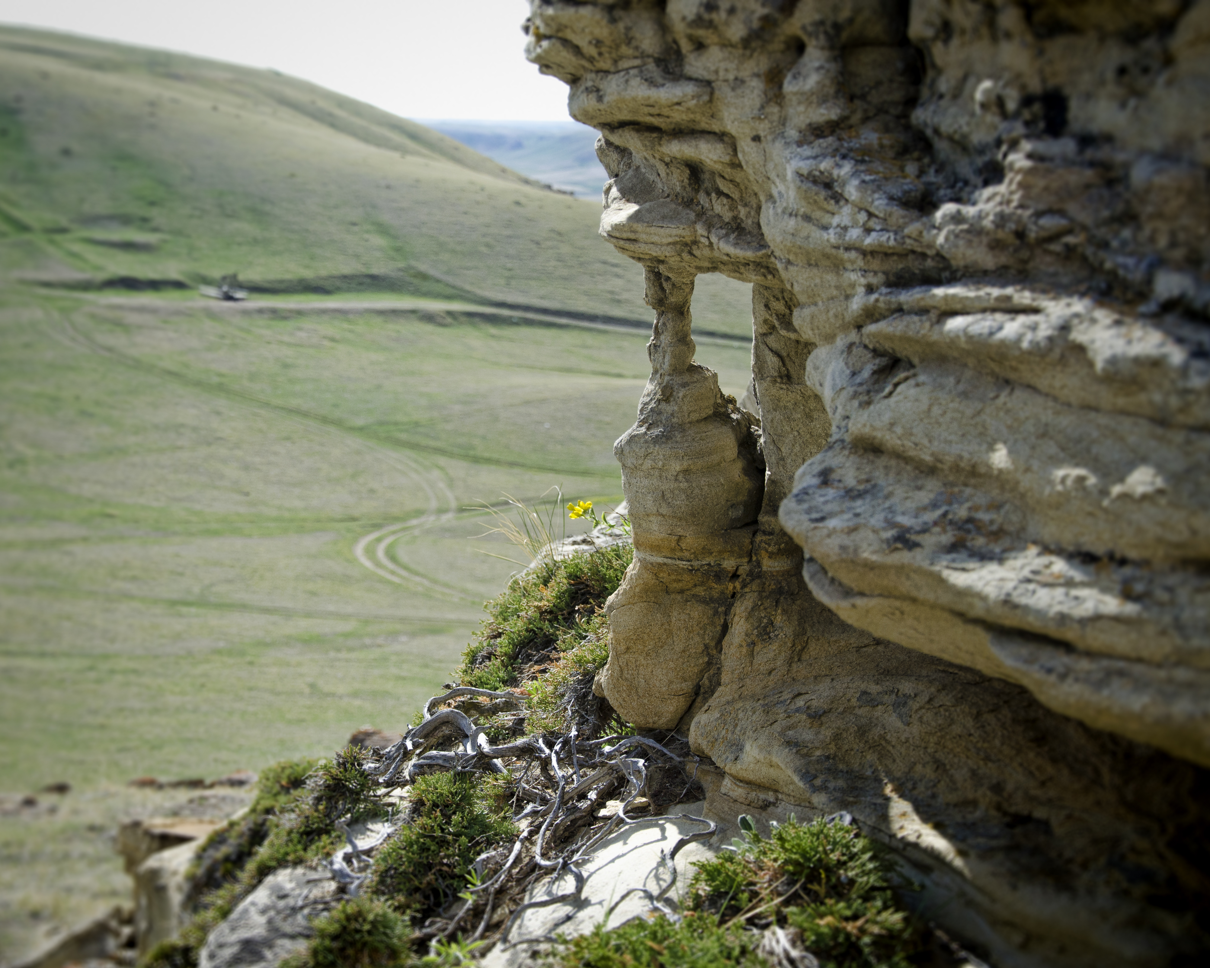
the picket fence community

Aloe, Montana

the picket fence community

the picket fence community

the picket fence community
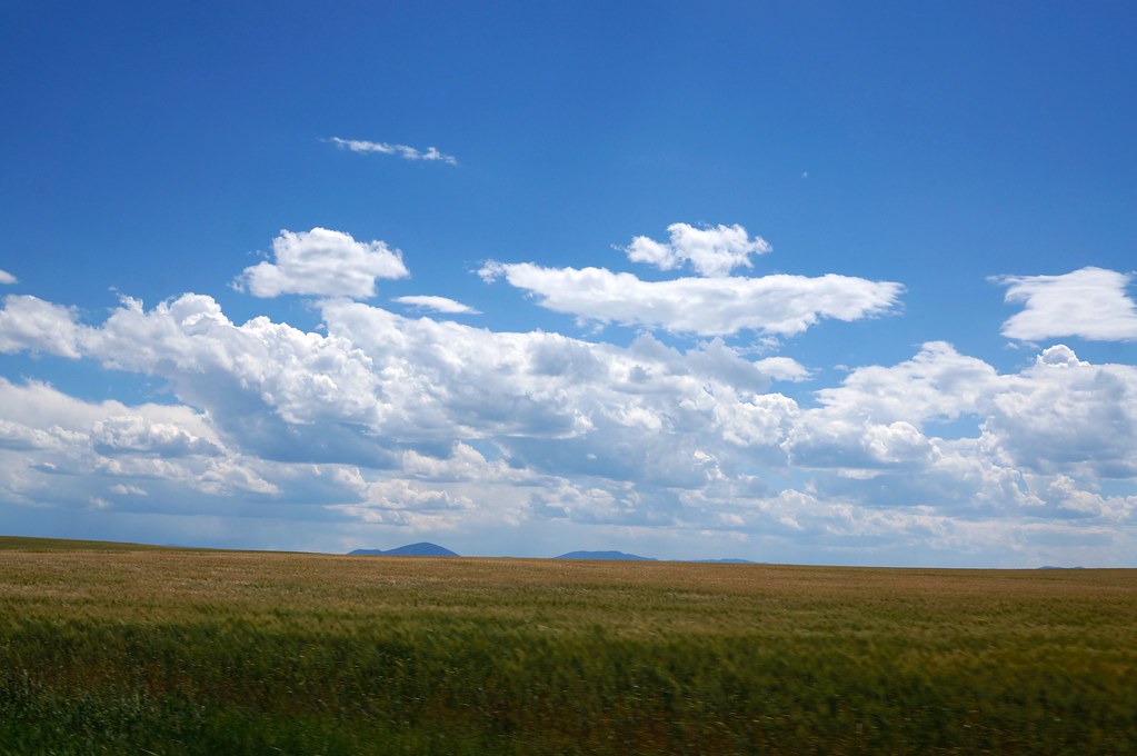
Open fields

Wide open road IMG_0445e1
Topographic Map of Oilmont, MT, USA
Find elevation by address:

Places in Oilmont, MT, USA:
Places near Oilmont, MT, USA:
Sunburst
Potter Rd, Shelby, MT, USA
Toole County
Welker Farms
US-2, Shelby, MT, USA
1948 W Roosevelt Hwy
Ferdig Rd, Oilmont, MT, USA
Shelby
O'haire Manor Motel Of Shelby
64 1st Ave
U.s. Customs And Border Protection
Sweet Grass
Tipville Rd, Cut Bank, MT, USA
81 Luedtke Rd
Sweet Grass Hills
Milk River
21 Luedtke Rd
950 Main St Nw
Cut Bank
620 1st St Se
Recent Searches:
- Elevation of Congressional Dr, Stevensville, MD, USA
- Elevation of Bellview Rd, McLean, VA, USA
- Elevation of Stage Island Rd, Chatham, MA, USA
- Elevation of Shibuya Scramble Crossing, 21 Udagawacho, Shibuya City, Tokyo -, Japan
- Elevation of Jadagoniai, Kaunas District Municipality, Lithuania
- Elevation of Pagonija rock, Kranto 7-oji g. 8"N, Kaunas, Lithuania
- Elevation of Co Rd 87, Jamestown, CO, USA
- Elevation of Tenjo, Cundinamarca, Colombia
- Elevation of Côte-des-Neiges, Montreal, QC H4A 3J6, Canada
- Elevation of Bobcat Dr, Helena, MT, USA