Elevation of Ferdig Rd, Oilmont, MT, USA
Location: United States > Montana > Toole County > Oilmont >
Longitude: -111.61159
Latitude: 48.7619029
Elevation: 1077m / 3533feet
Barometric Pressure: 89KPa
Elevation Map:
Satellite Map:
Related Photos:
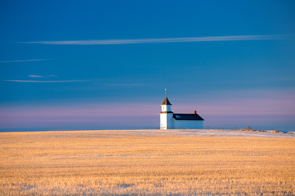
Country Chapel
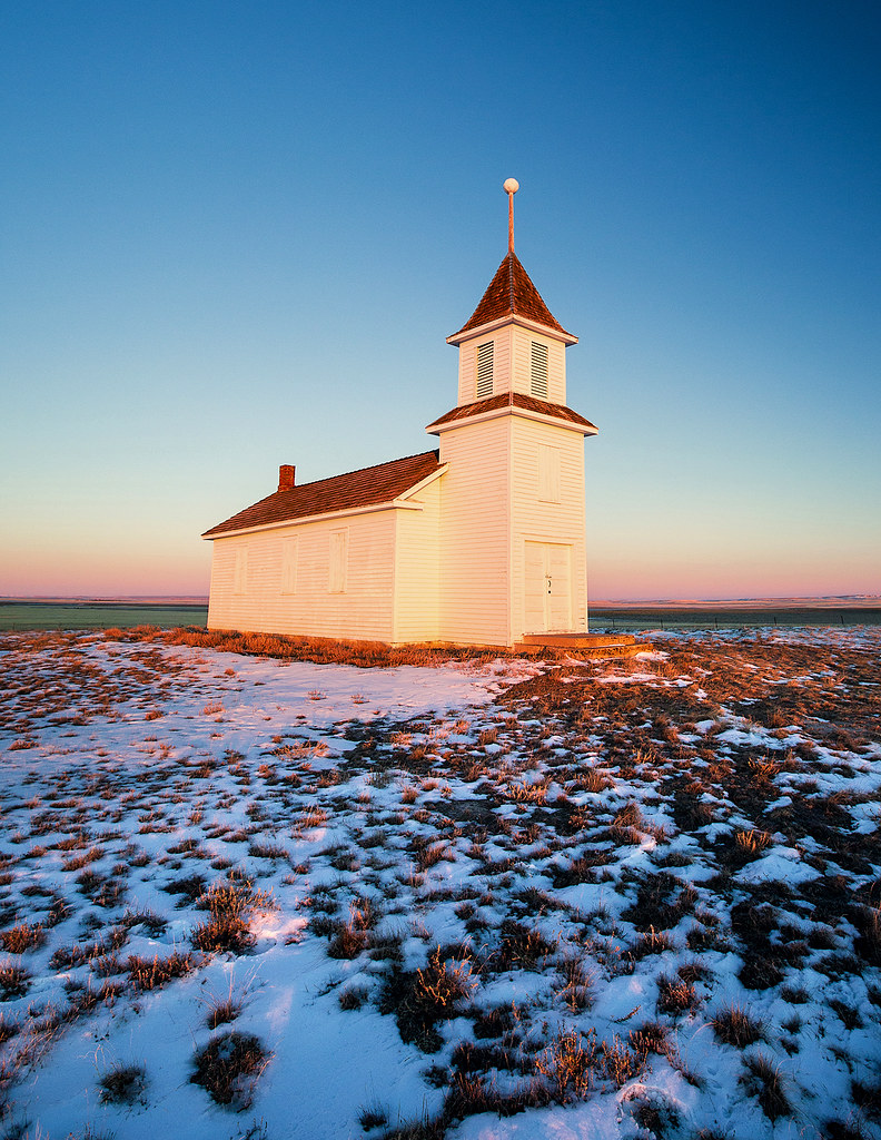
Winter Chapel

And There Was Light
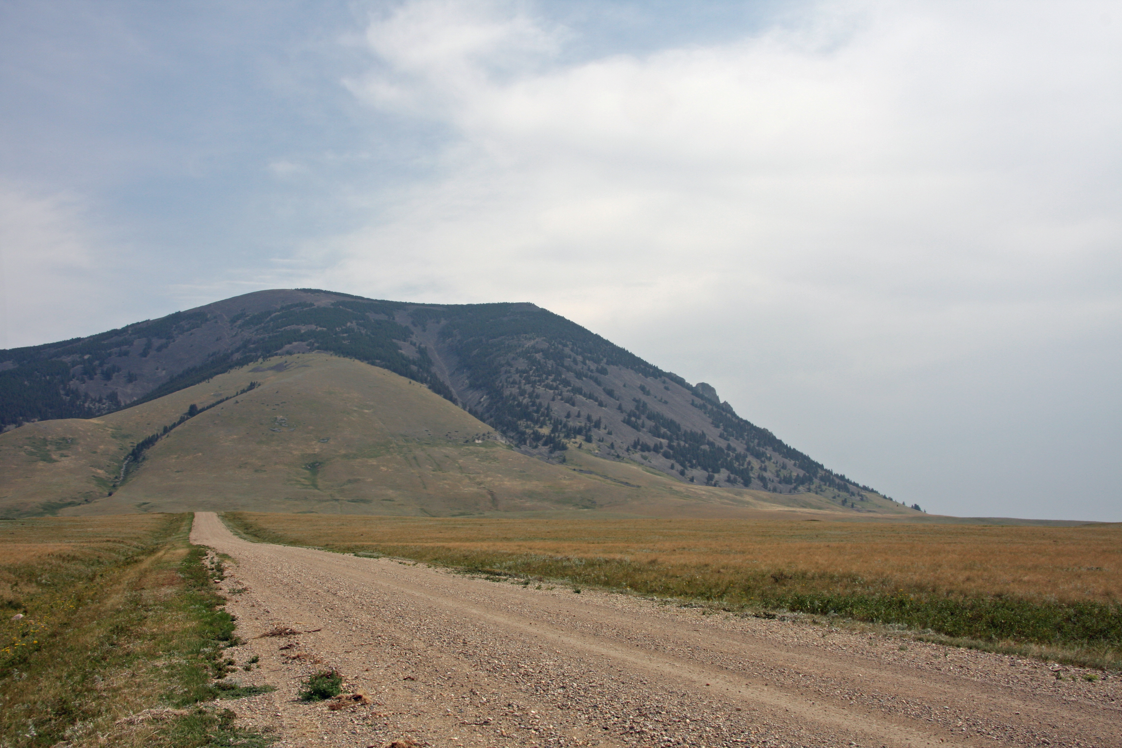
Gettng Closer - West Butte - Montana
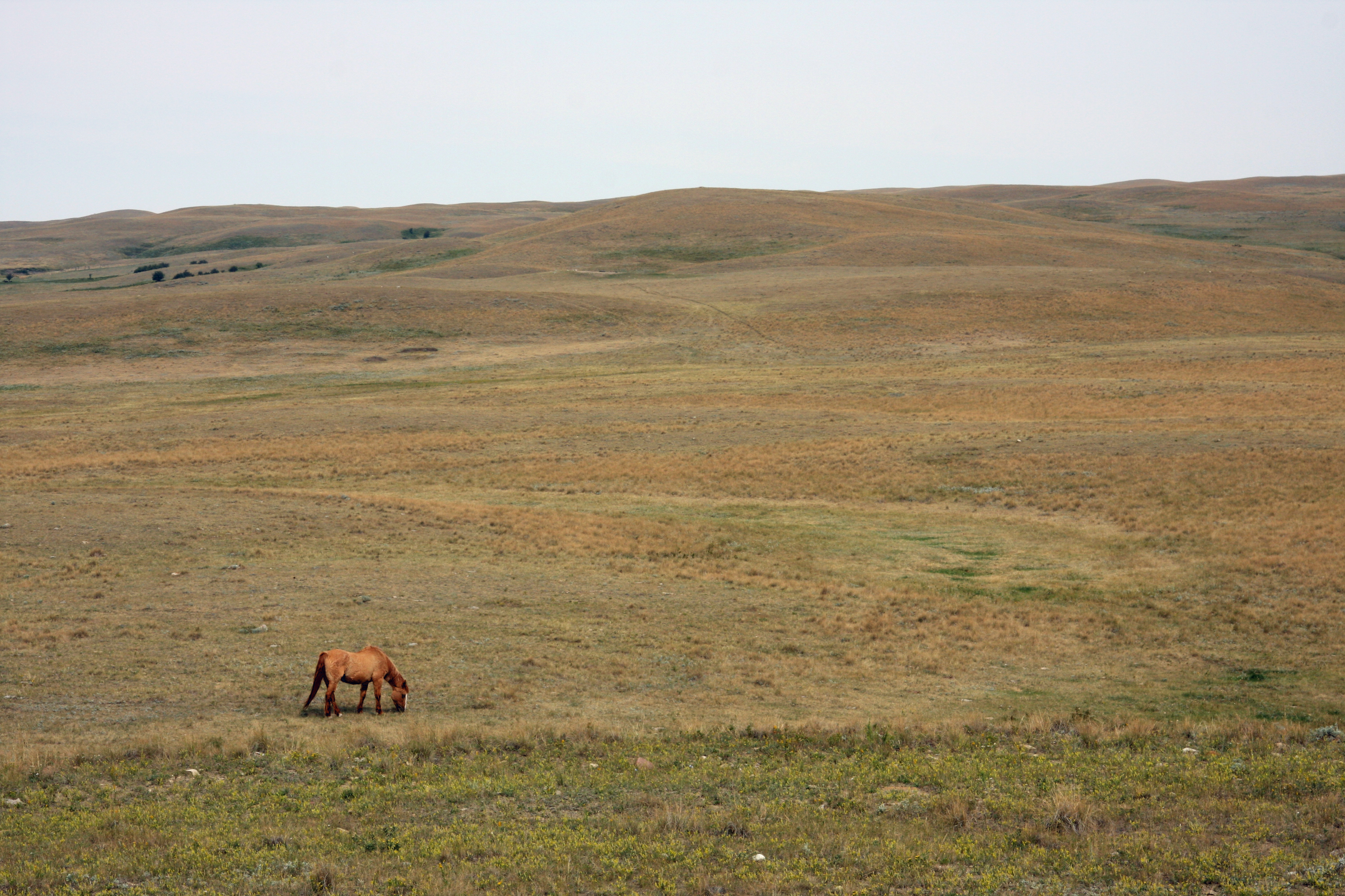
Solitary Horse - Montana
Stunning!

Bethany lutheran church

Holy Light
Ferdig, Montana 59437
Some More Elk
Bethany Lutheran Church

International truck
Topographic Map of Ferdig Rd, Oilmont, MT, USA
Find elevation by address:

Places near Ferdig Rd, Oilmont, MT, USA:
Toole County
Oilmont
Sweet Grass Hills
Welker Farms
Sunburst
Shelby
O'haire Manor Motel Of Shelby
1948 W Roosevelt Hwy
US-2, Shelby, MT, USA
Galata
Whitlash
Potter Rd, Shelby, MT, USA
U.s. Customs And Border Protection
64 1st Ave
Sweet Grass
Mount Brown
Whitlash, MT, USA
Milk River
Tipville Rd, Cut Bank, MT, USA
950 Main St Nw
Recent Searches:
- Elevation of Congressional Dr, Stevensville, MD, USA
- Elevation of Bellview Rd, McLean, VA, USA
- Elevation of Stage Island Rd, Chatham, MA, USA
- Elevation of Shibuya Scramble Crossing, 21 Udagawacho, Shibuya City, Tokyo -, Japan
- Elevation of Jadagoniai, Kaunas District Municipality, Lithuania
- Elevation of Pagonija rock, Kranto 7-oji g. 8"N, Kaunas, Lithuania
- Elevation of Co Rd 87, Jamestown, CO, USA
- Elevation of Tenjo, Cundinamarca, Colombia
- Elevation of Côte-des-Neiges, Montreal, QC H4A 3J6, Canada
- Elevation of Bobcat Dr, Helena, MT, USA