Elevation of Welker Farms, Benjamin Rd, Shelby, MT, USA
Location: United States > Montana > Toole County > Shelby >
Longitude: -111.81886
Latitude: 48.5314385
Elevation: 1060m / 3478feet
Barometric Pressure: 89KPa
Elevation Map:
Satellite Map:
Related Photos:

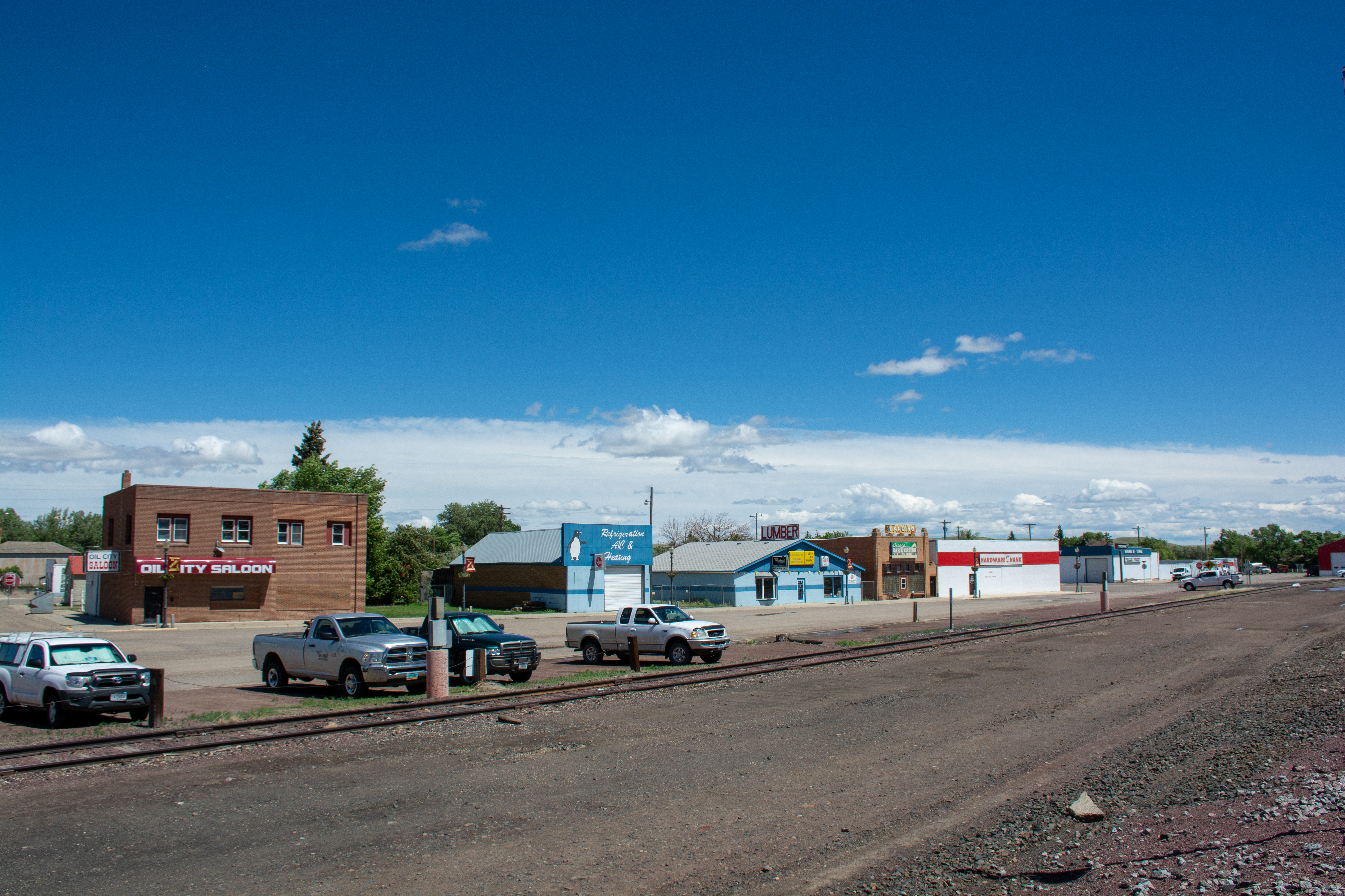
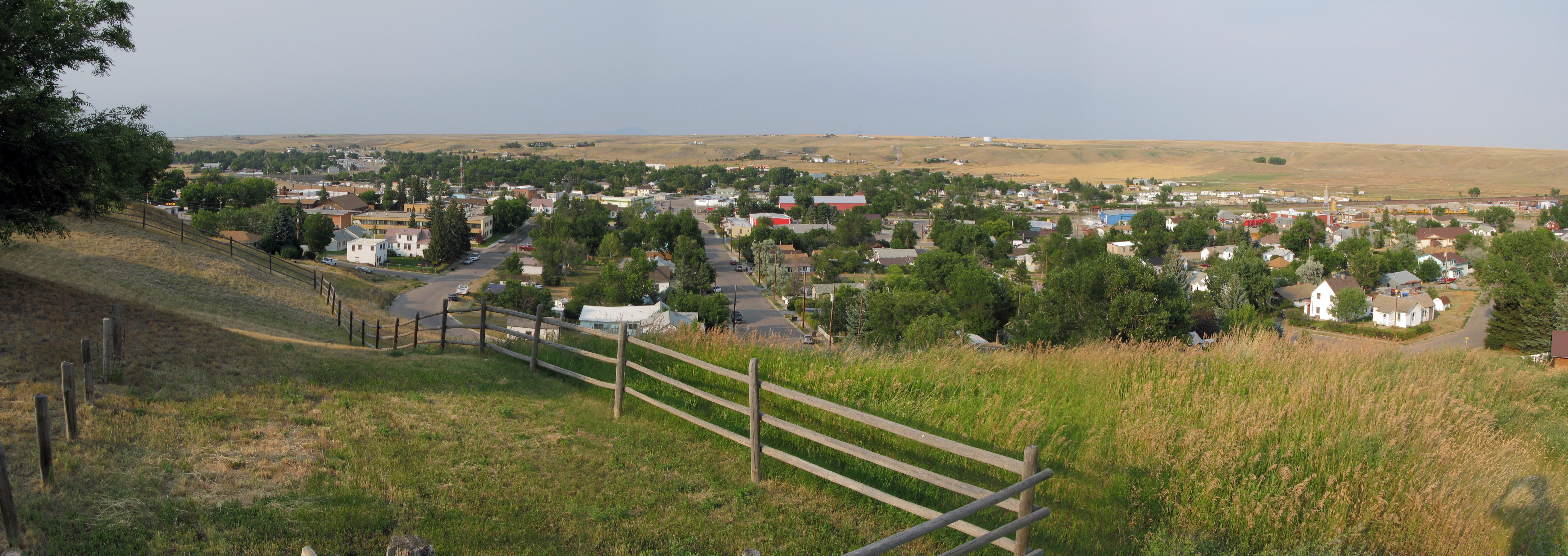
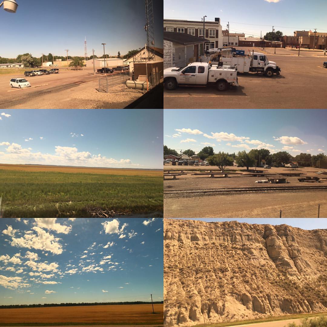
Shelby MT
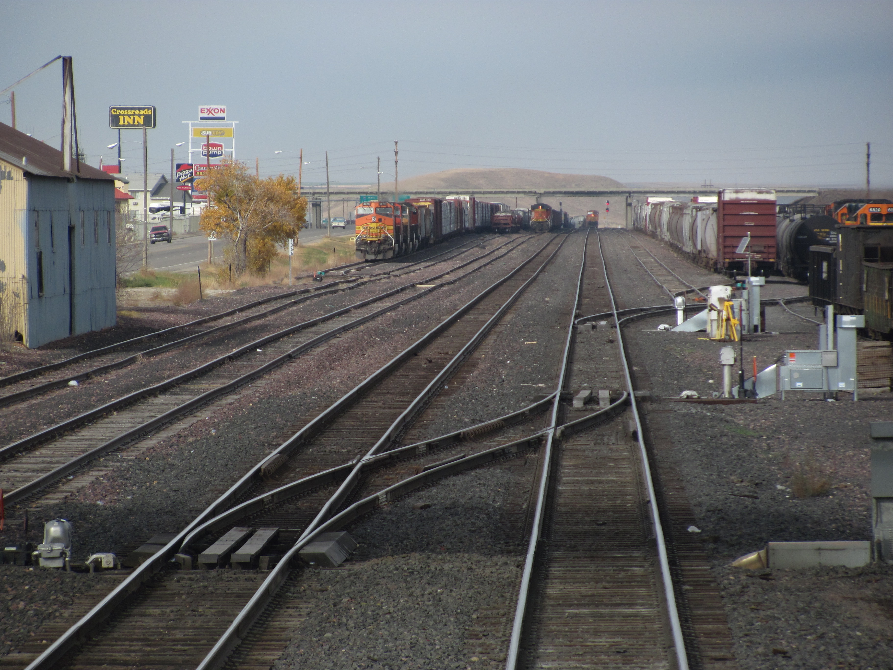
Shelby Yard

Frontier Town
Shelby MT
Shelby MT
Shelby MT
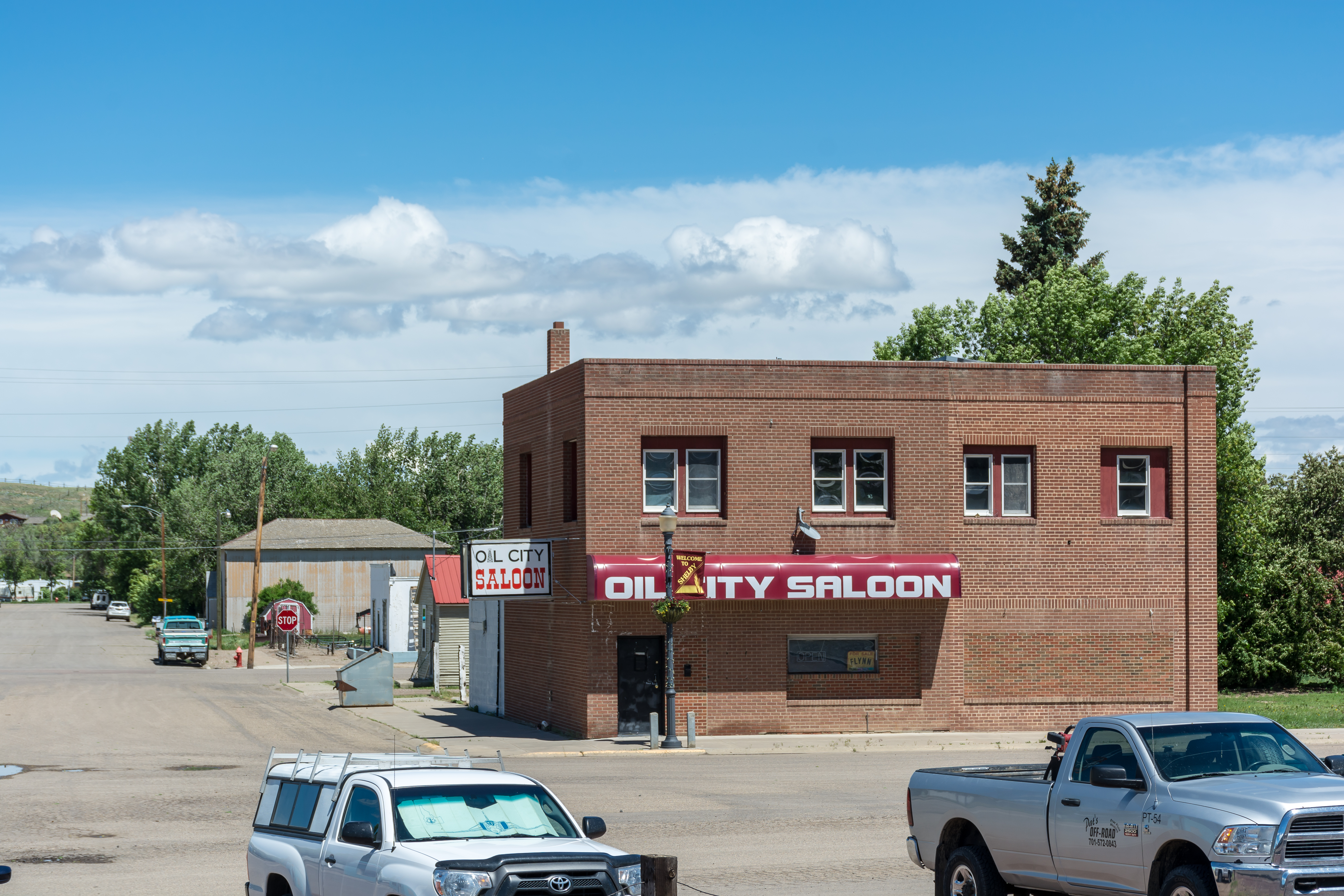
Shelby MT

Blue Skies and Clouds Above a Wind Farm in Montana (Black & White)
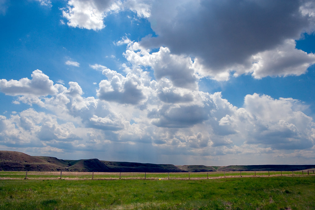
Hills _R6D1209e1

Wind Turbines in Montana
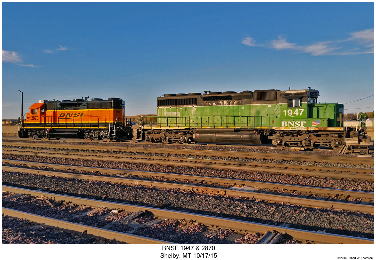
BNSF 1947 & 2870
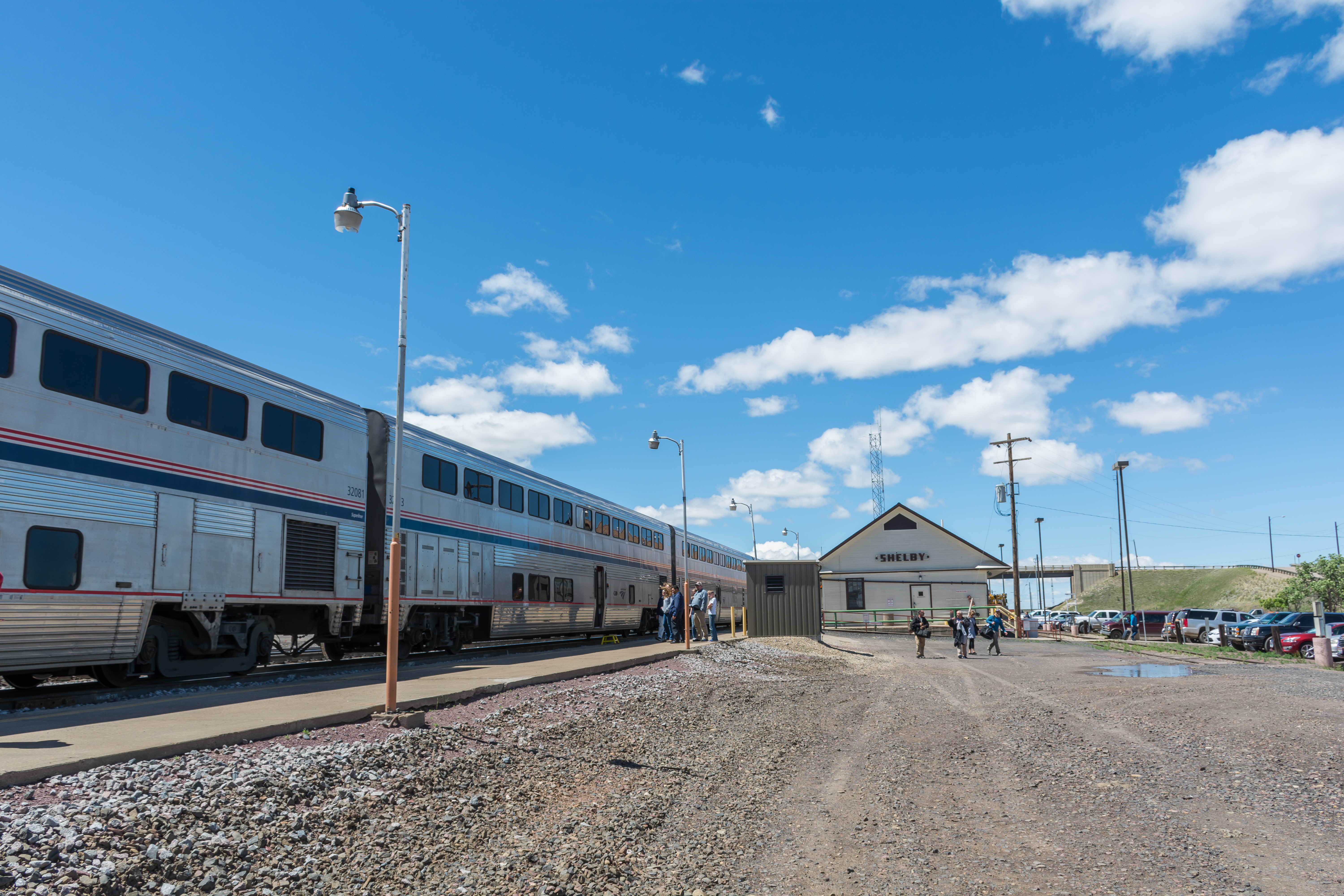
Shelby, MT

Shelby MT Toole County Courthouse(#0344)
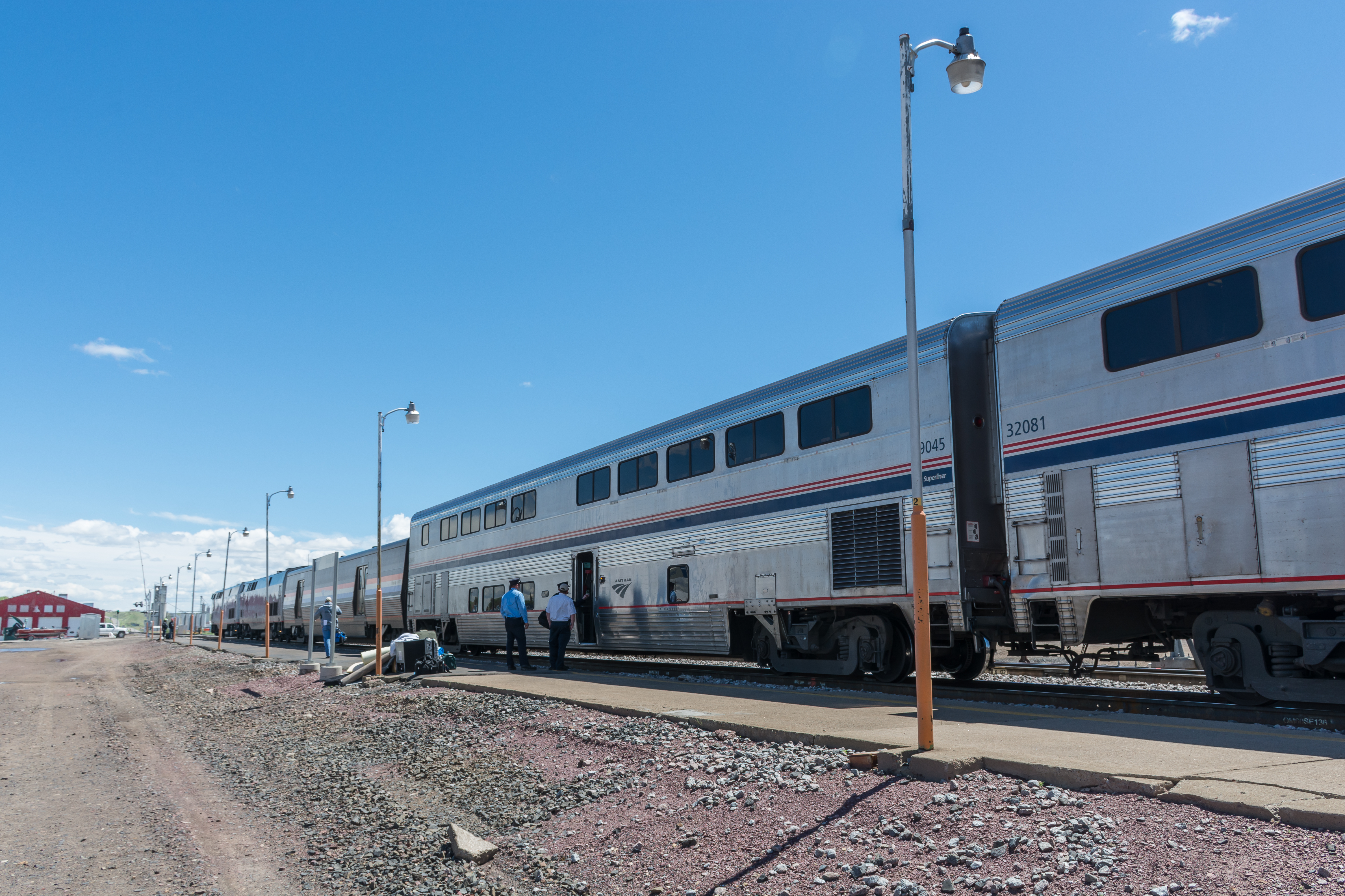
Bye, Montana! @amtrak
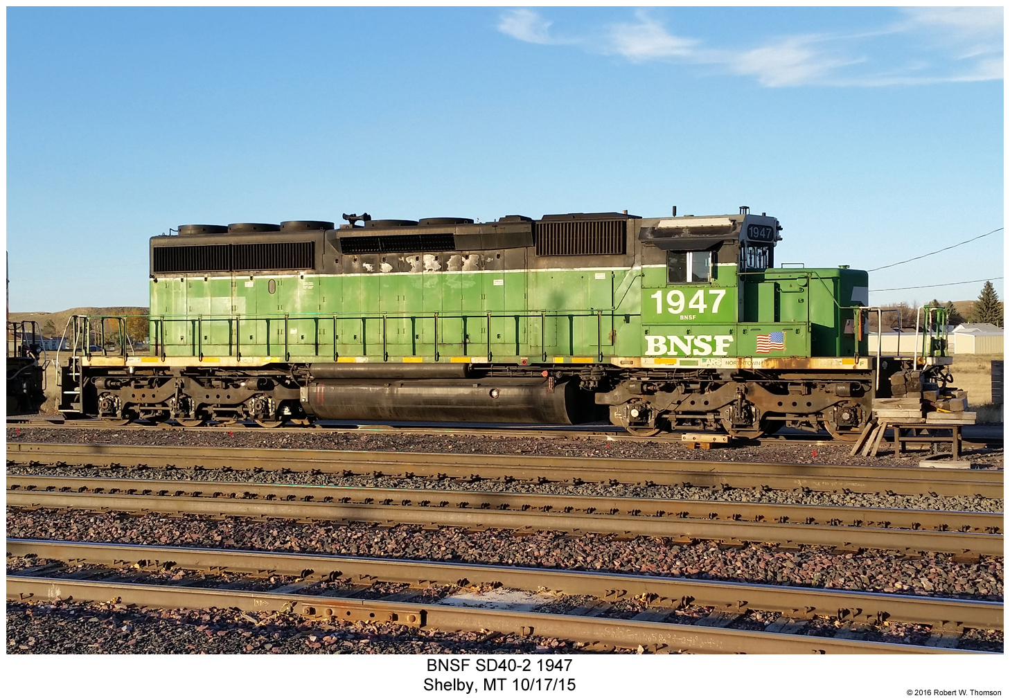
BNSF SD40-2 1947
Whipping Winds 2010 005
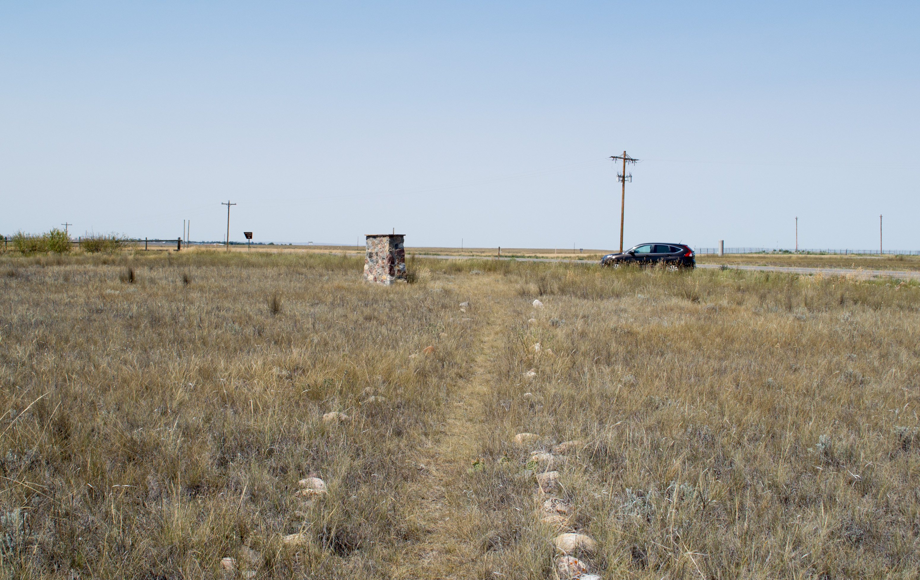
Shelby MT forgotten memorial (#0354)
Topographic Map of Welker Farms, Benjamin Rd, Shelby, MT, USA
Find elevation by address:

Places near Welker Farms, Benjamin Rd, Shelby, MT, USA:
Shelby
O'haire Manor Motel Of Shelby
1948 W Roosevelt Hwy
US-2, Shelby, MT, USA
Potter Rd, Shelby, MT, USA
Oilmont
Toole County
Ferdig Rd, Oilmont, MT, USA
Sunburst
Conrad
Galata
64 1st Ave
U.s. Customs And Border Protection
Sweet Grass
Brady
81 Luedtke Rd
Tipville Rd, Cut Bank, MT, USA
21 Luedtke Rd
620 1st St Se
Cut Bank
Recent Searches:
- Elevation of Congressional Dr, Stevensville, MD, USA
- Elevation of Bellview Rd, McLean, VA, USA
- Elevation of Stage Island Rd, Chatham, MA, USA
- Elevation of Shibuya Scramble Crossing, 21 Udagawacho, Shibuya City, Tokyo -, Japan
- Elevation of Jadagoniai, Kaunas District Municipality, Lithuania
- Elevation of Pagonija rock, Kranto 7-oji g. 8"N, Kaunas, Lithuania
- Elevation of Co Rd 87, Jamestown, CO, USA
- Elevation of Tenjo, Cundinamarca, Colombia
- Elevation of Côte-des-Neiges, Montreal, QC H4A 3J6, Canada
- Elevation of Bobcat Dr, Helena, MT, USA