Elevation map of Toole County, MT, USA
Location: United States > Montana >
Longitude: -111.64082
Latitude: 48.6974247
Elevation: 1061m / 3481feet
Barometric Pressure: 89KPa
Elevation Map:
Satellite Map:
Related Photos:

And There Was Light

Country Chapel

Winter Chapel
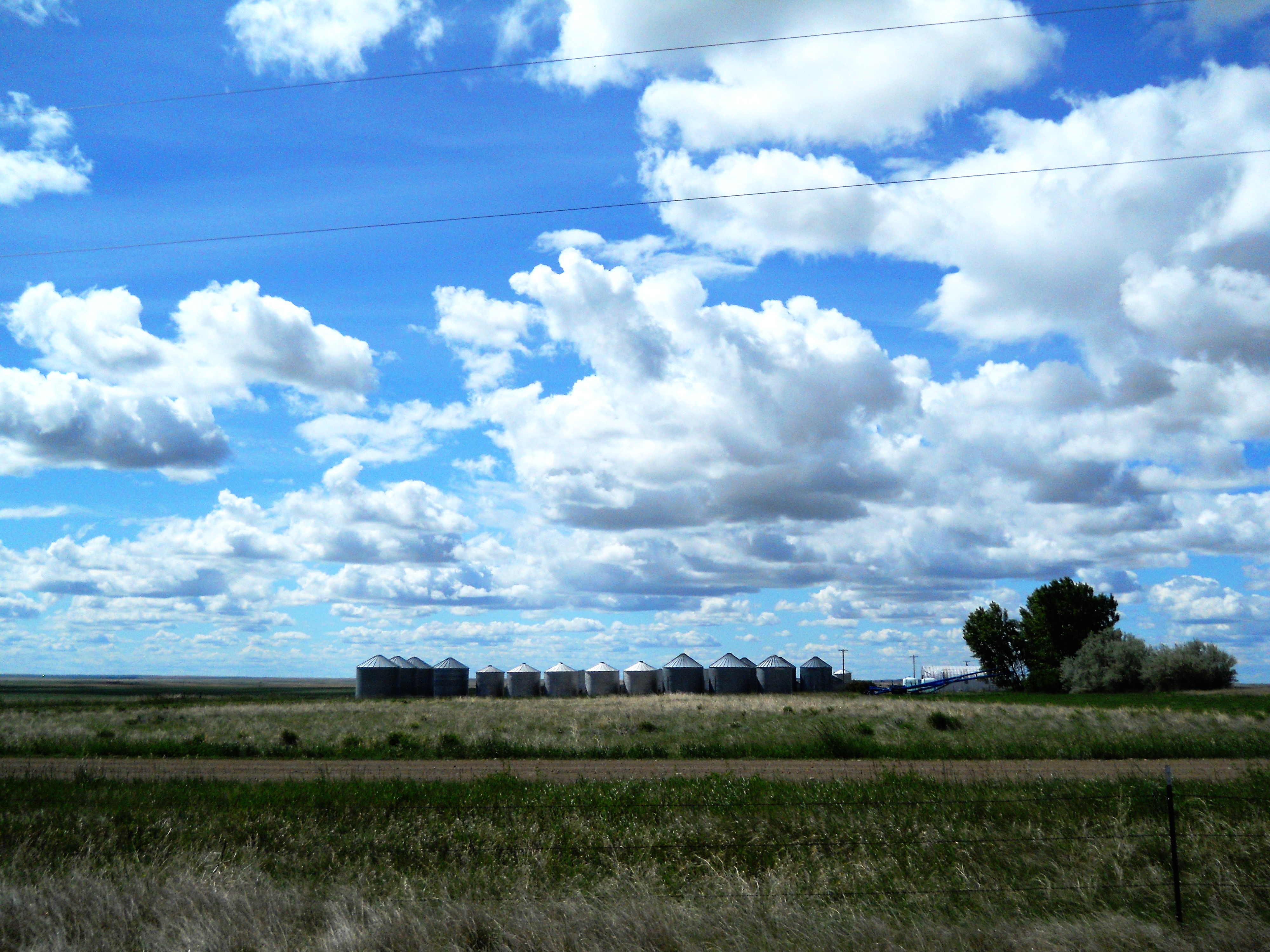
Bins

Bethany lutheran church

Holy Light

Stunning!
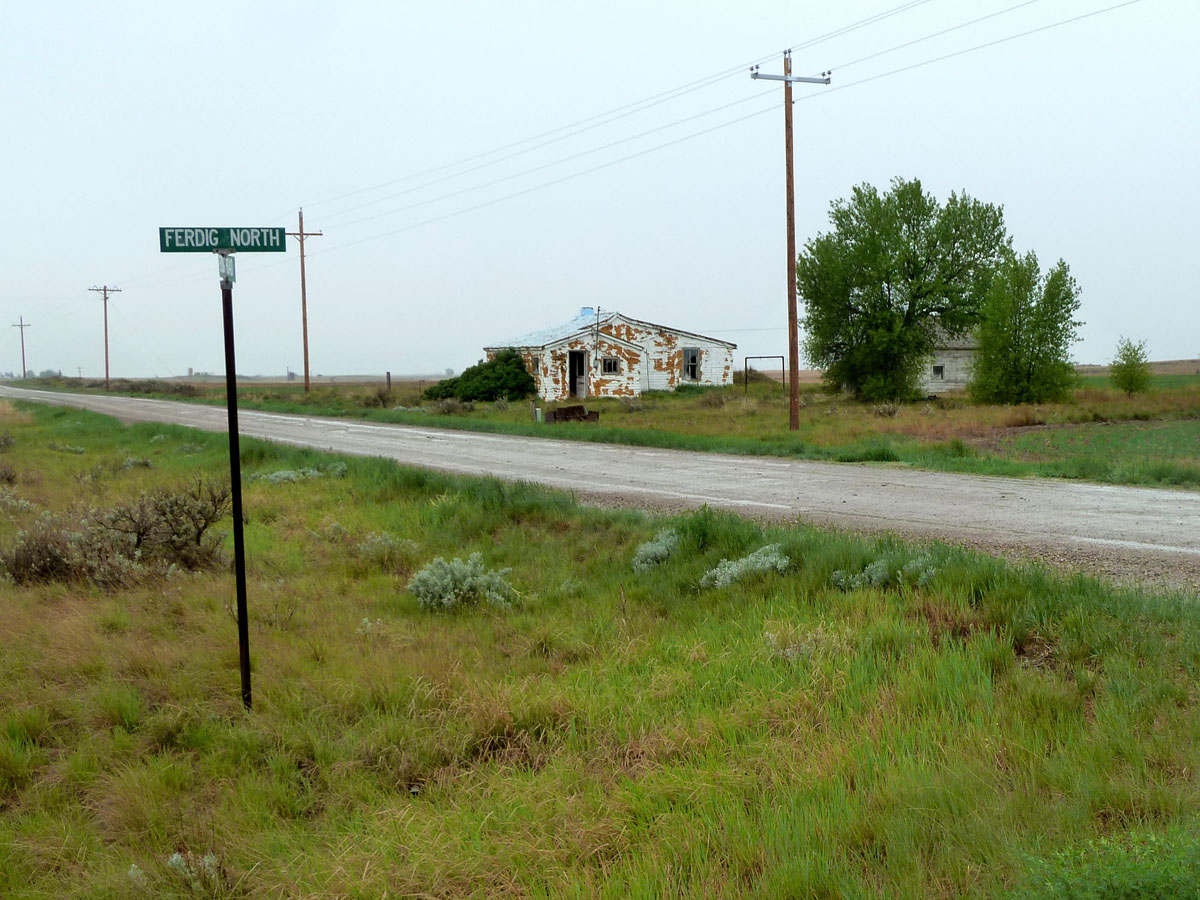
Ferdig, Montana 59437
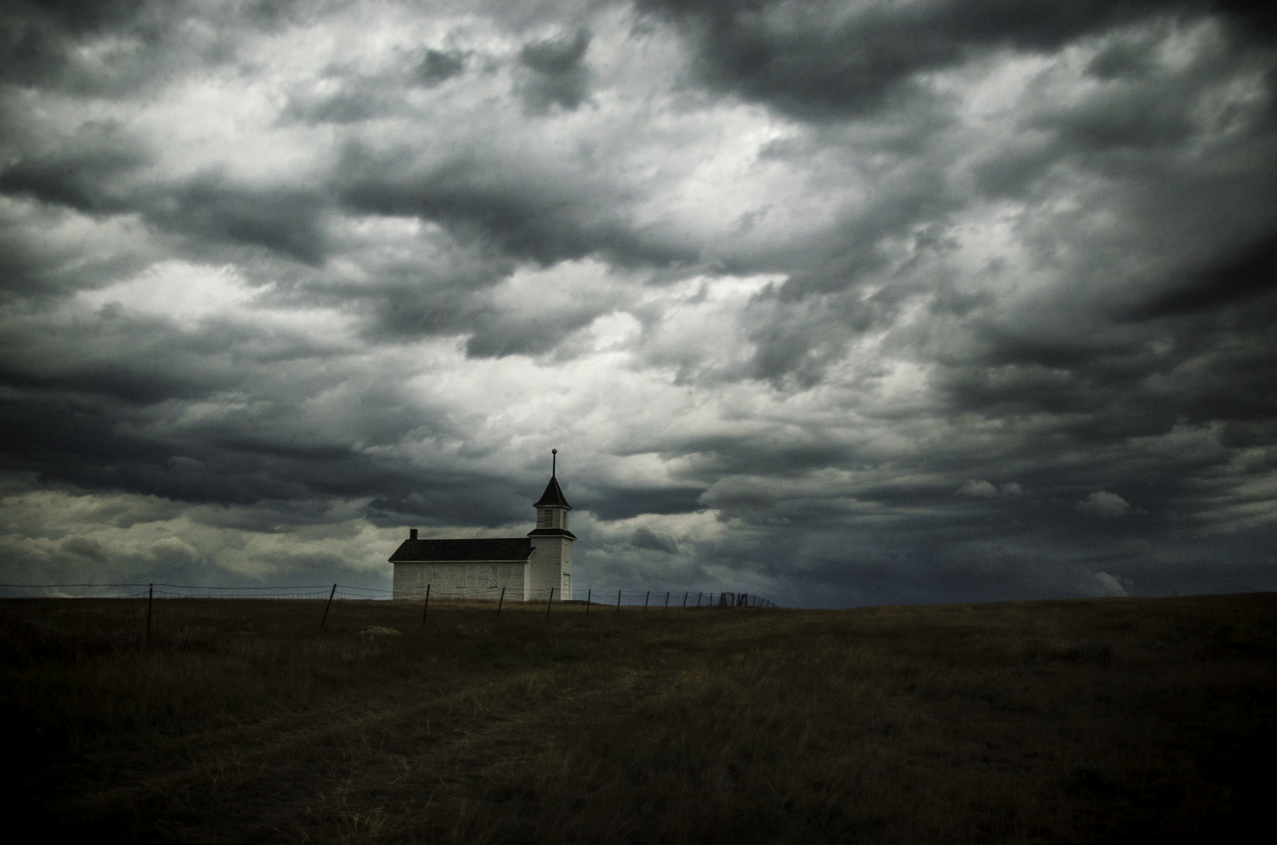
Bethany Lutheran Church

International truck
Topographic Map of Toole County, MT, USA
Find elevation by address:

Places in Toole County, MT, USA:
Places near Toole County, MT, USA:
Ferdig Rd, Oilmont, MT, USA
Oilmont
Welker Farms
Shelby
O'haire Manor Motel Of Shelby
1948 W Roosevelt Hwy
US-2, Shelby, MT, USA
Sweet Grass Hills
Sunburst
Potter Rd, Shelby, MT, USA
Galata
U.s. Customs And Border Protection
64 1st Ave
Whitlash
Sweet Grass
Mount Brown
Whitlash, MT, USA
Tipville Rd, Cut Bank, MT, USA
Conrad
Milk River
Recent Searches:
- Elevation of Corso Fratelli Cairoli, 35, Macerata MC, Italy
- Elevation of Tallevast Rd, Sarasota, FL, USA
- Elevation of 4th St E, Sonoma, CA, USA
- Elevation of Black Hollow Rd, Pennsdale, PA, USA
- Elevation of Oakland Ave, Williamsport, PA, USA
- Elevation of Pedrógão Grande, Portugal
- Elevation of Klee Dr, Martinsburg, WV, USA
- Elevation of Via Roma, Pieranica CR, Italy
- Elevation of Tavkvetili Mountain, Georgia
- Elevation of Hartfords Bluff Cir, Mt Pleasant, SC, USA