Elevation of U.S. Customs and Border Protection, I-15, Sweet Grass, MT, USA
Location: United States > Montana > Toole County > Sweet Grass >
Longitude: -111.96028
Latitude: 48.9981794
Elevation: 1065m / 3494feet
Barometric Pressure: 89KPa
Elevation Map:
Satellite Map:
Related Photos:
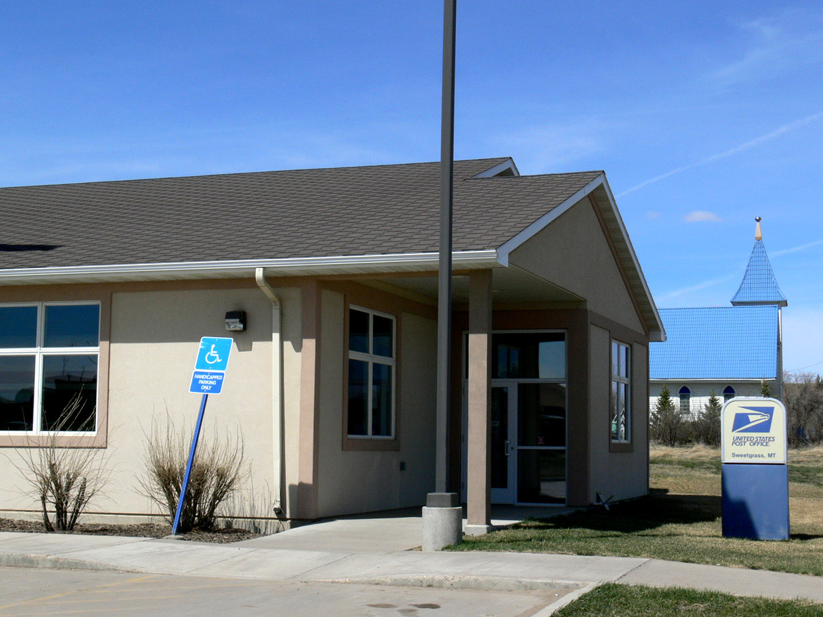
Sweetgrass, Montana 59484
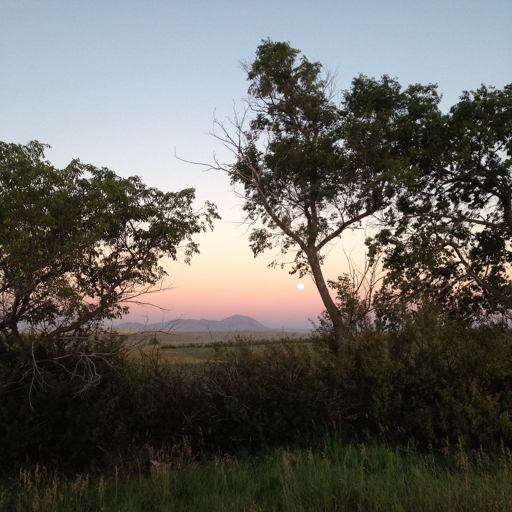
Moon Rise over the Sweet Grass Hills
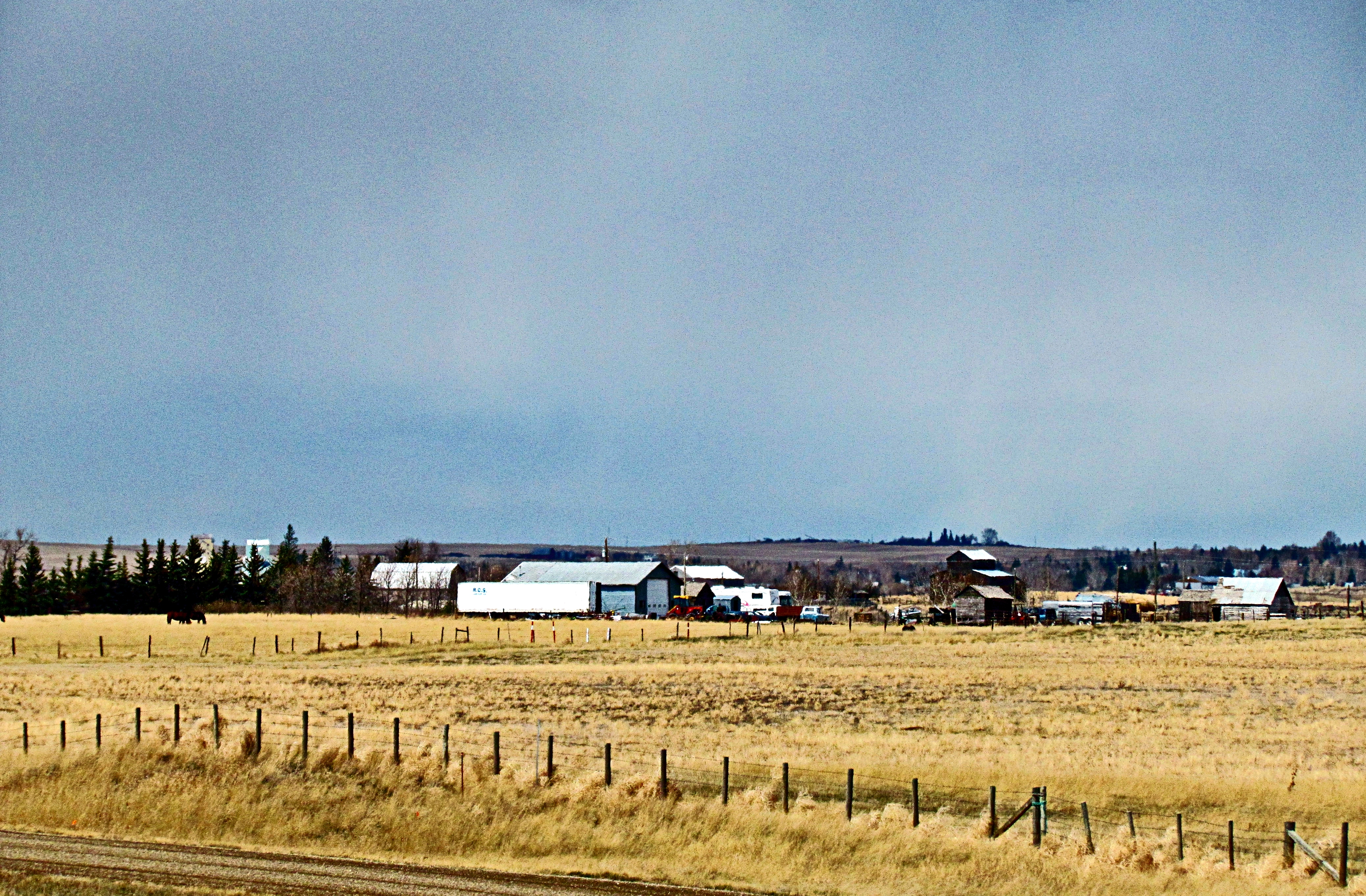
Farm near Coutts, Alberta
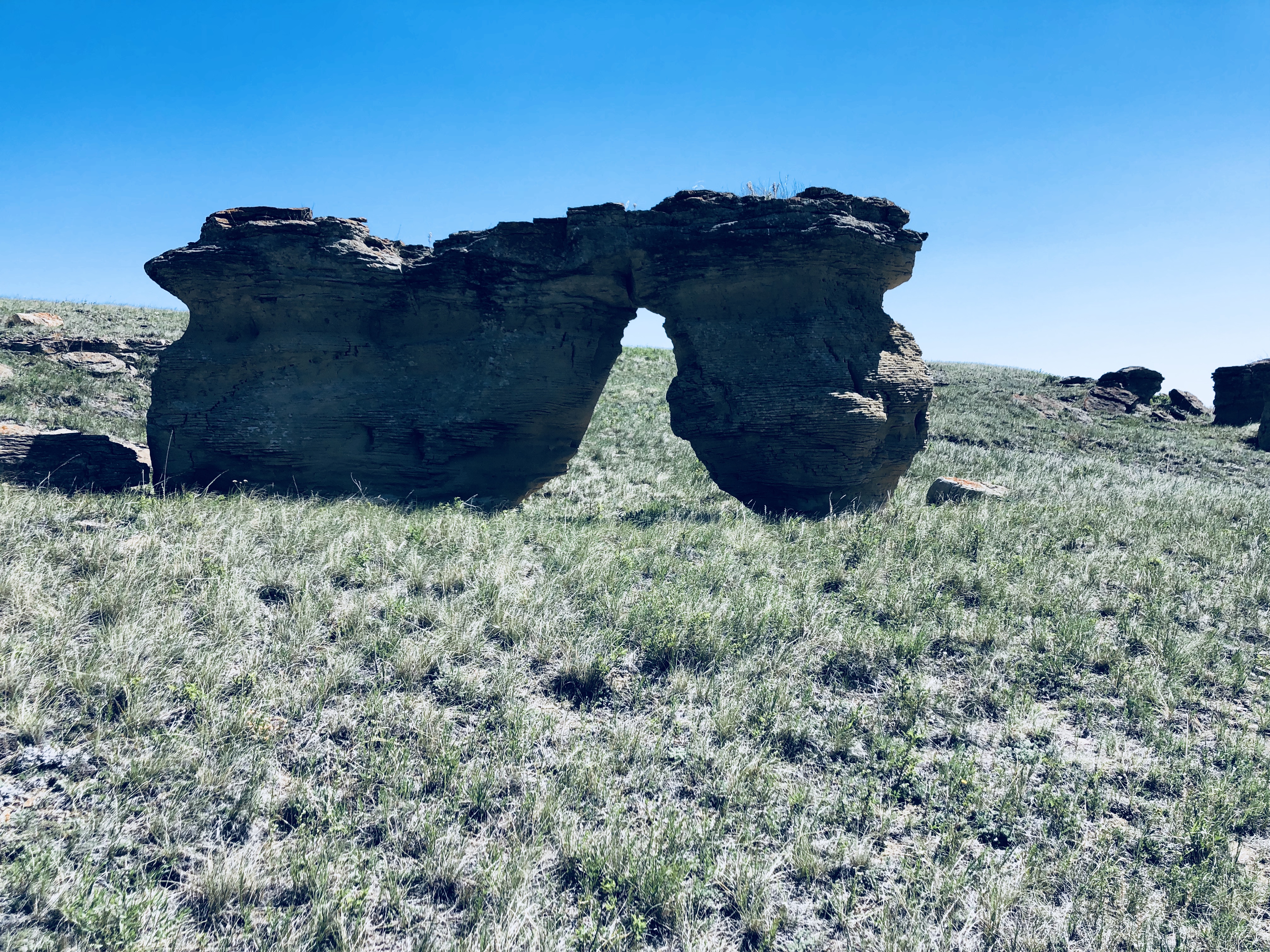
Jerusalem coulee near Sweetgrass Montana
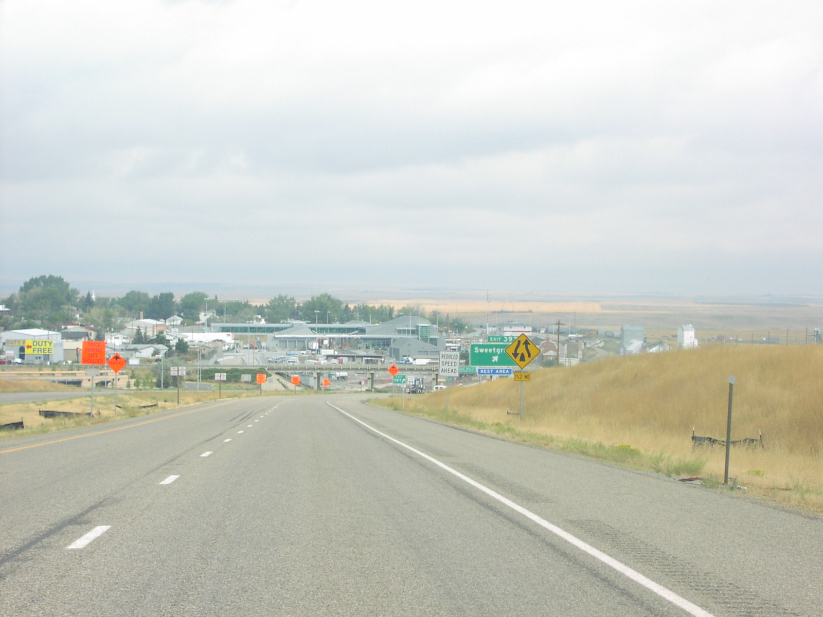
Approaching Northern End of I-15
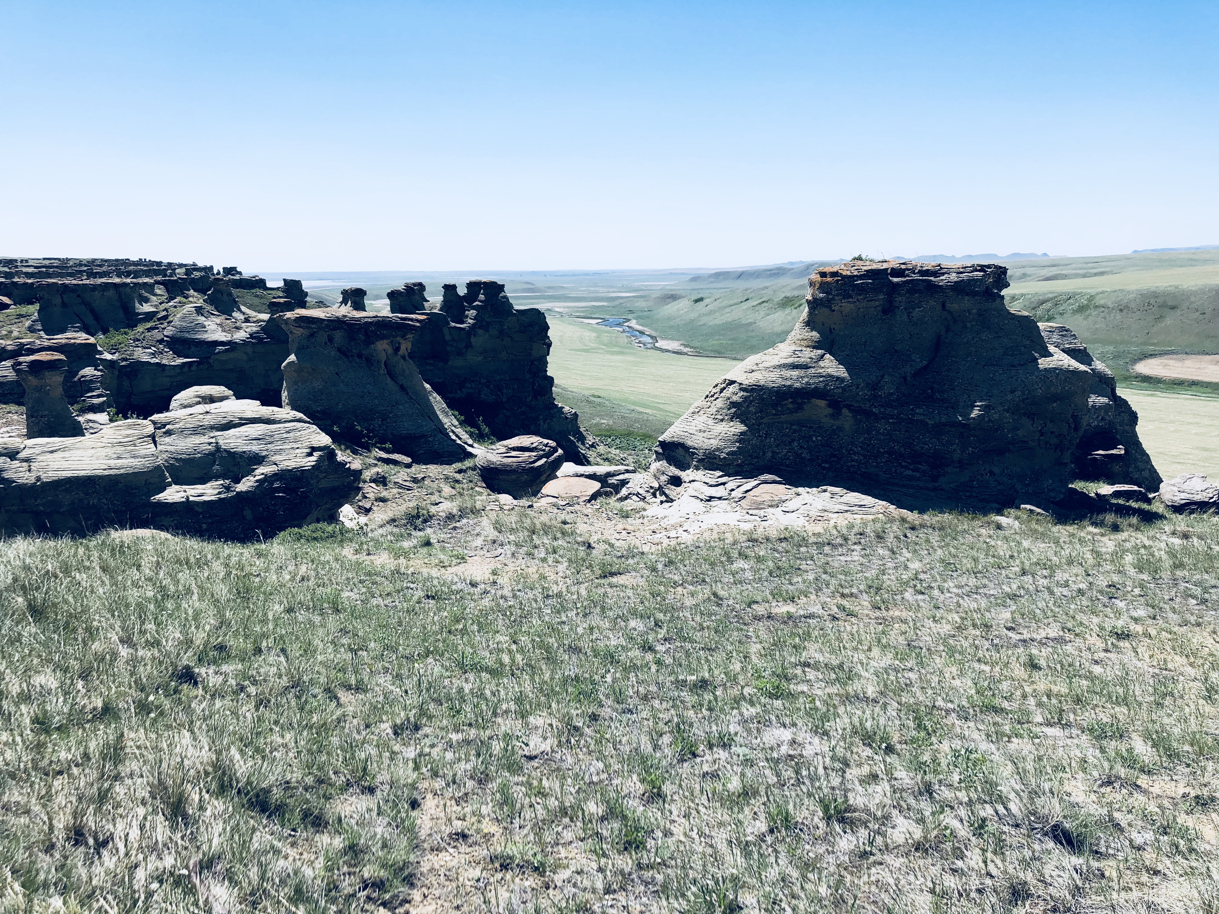
Jerusalem coulee near Sweetgrass Montana

Jerusalem coulee near Sweetgrass Montana
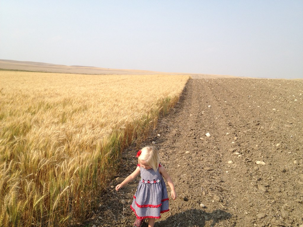
Young Girl Inspecting Montana Wheat
Jerusalem coulee near Sweetgrass Montana
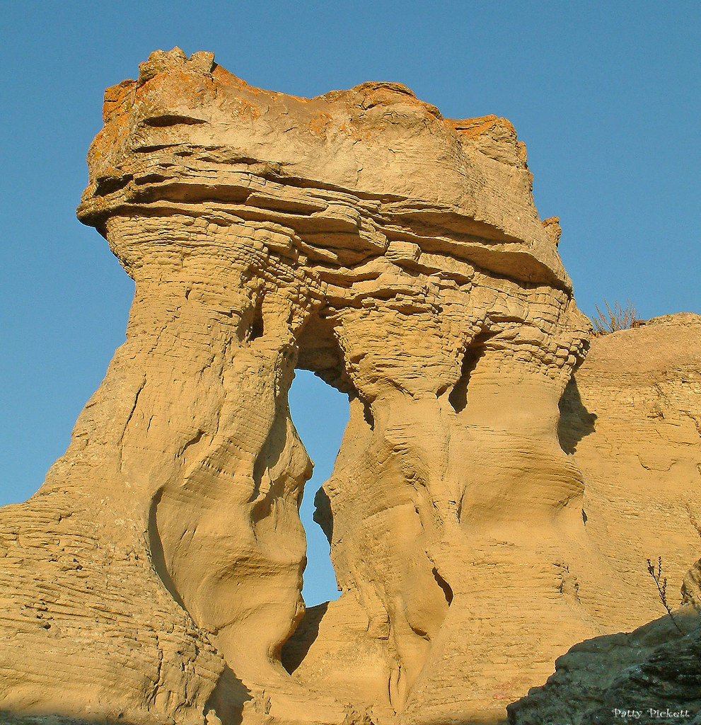
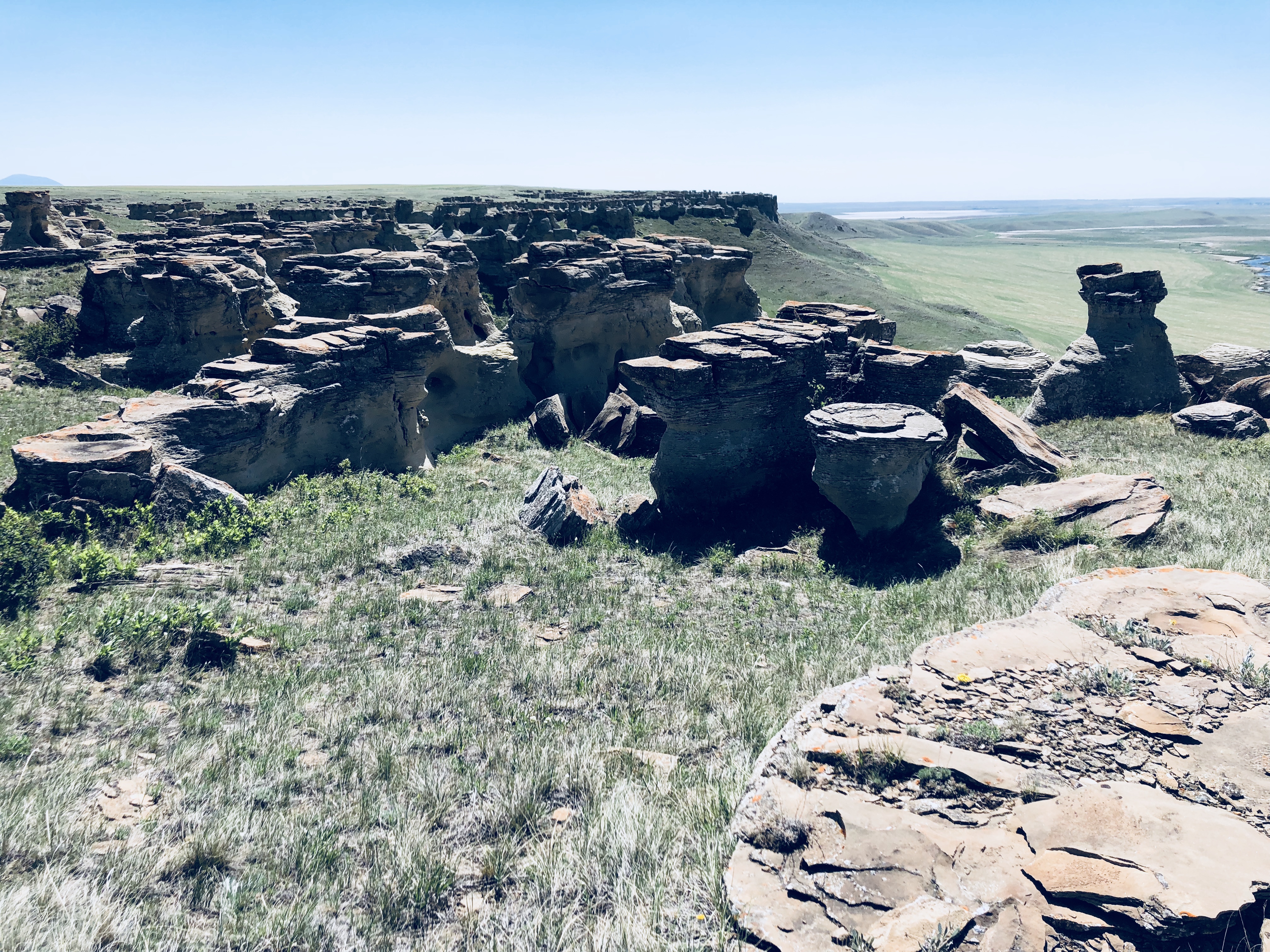
Little Jerusalem

Little Jerusalem
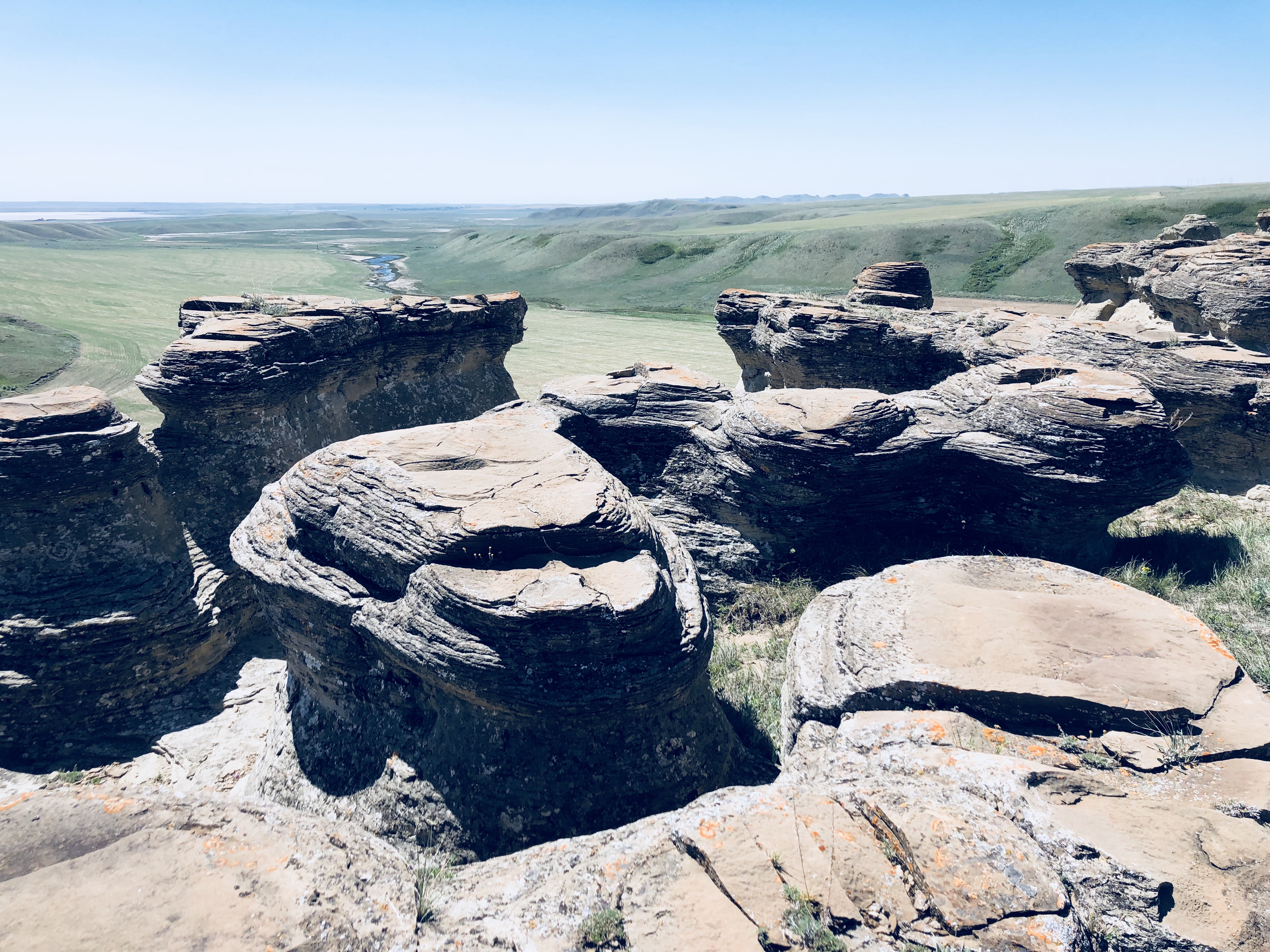
Jerusalem coulee near Sweetgrass Montana
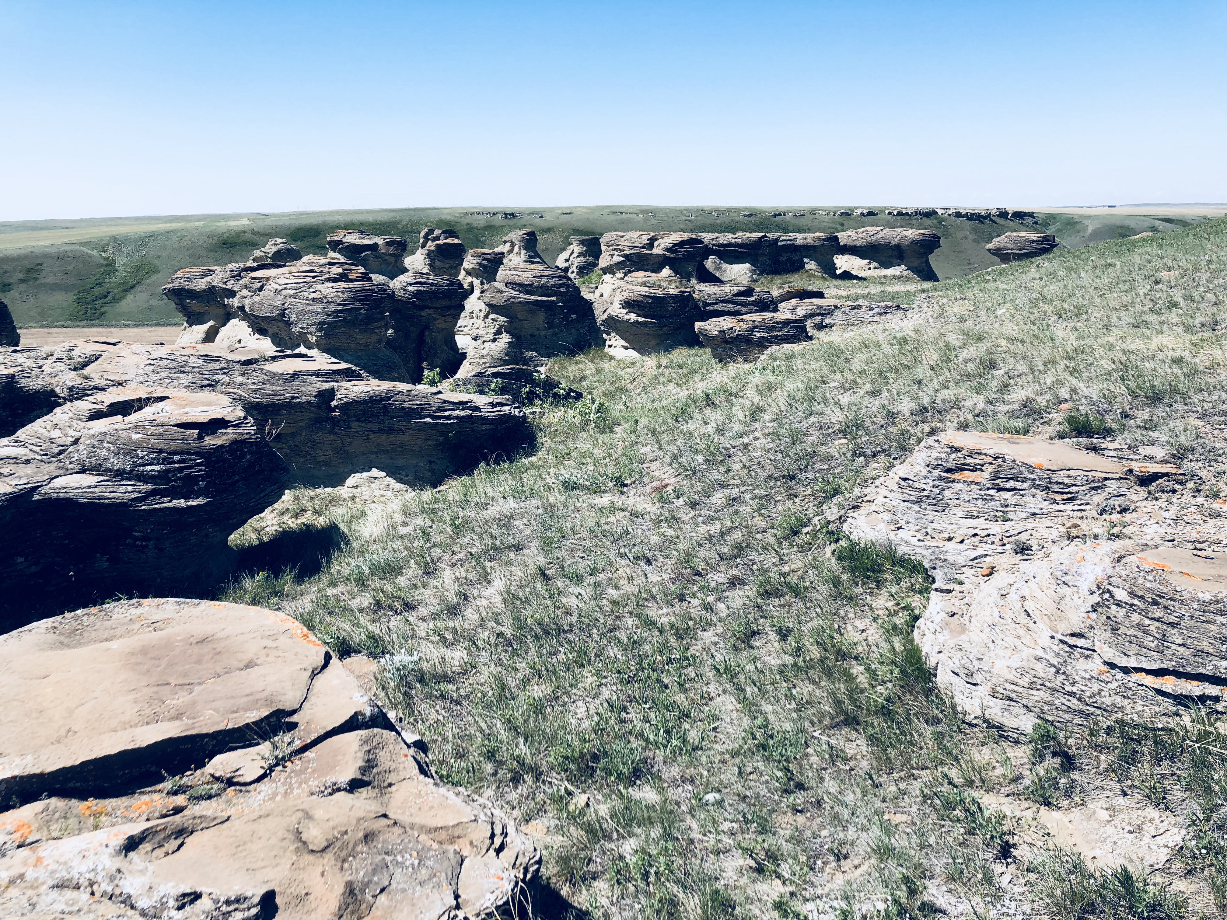
Jerusalem coulee near Sweetgrass Montana
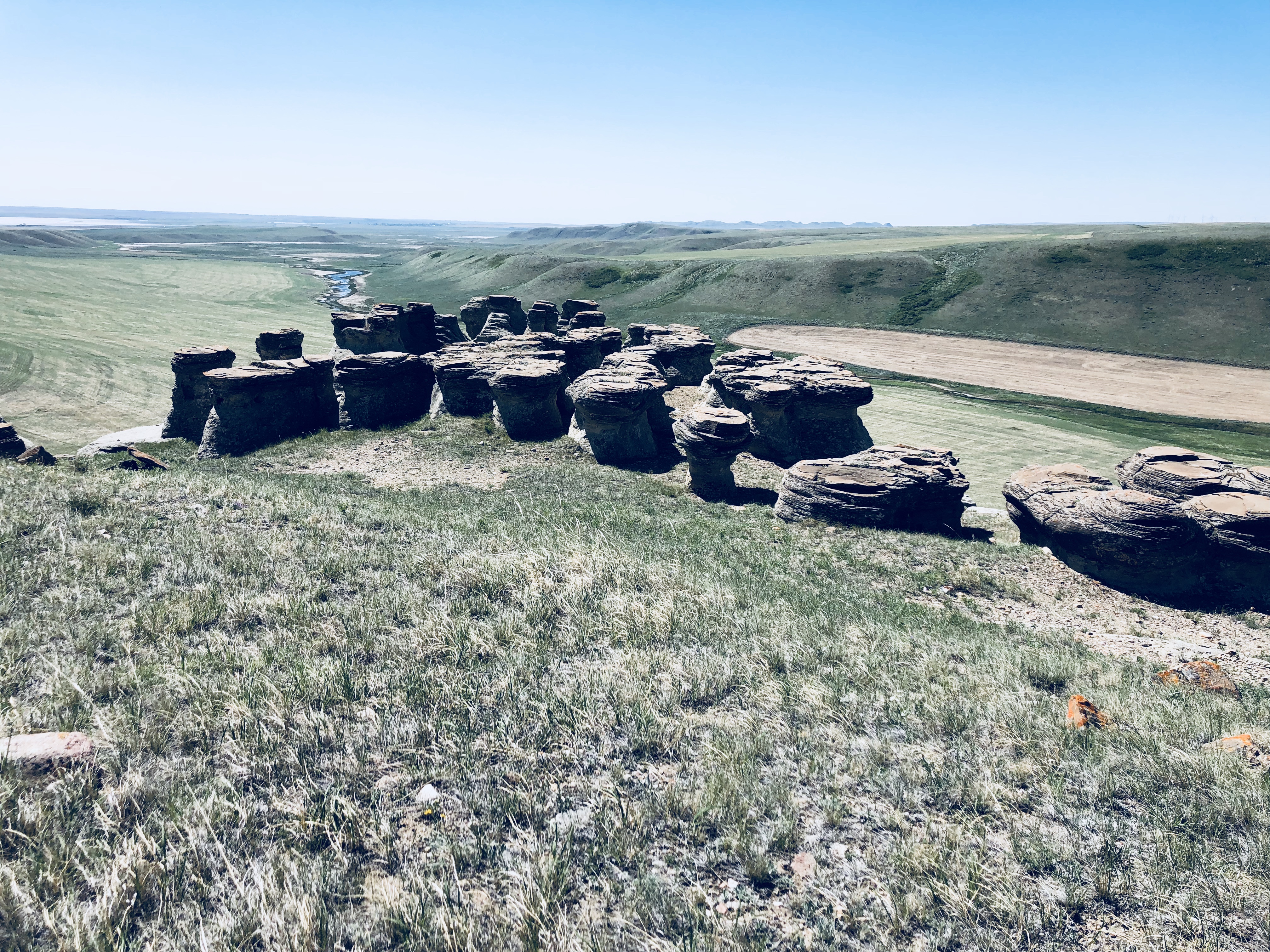
Jerusalem coulee near Sweetgrass Montana
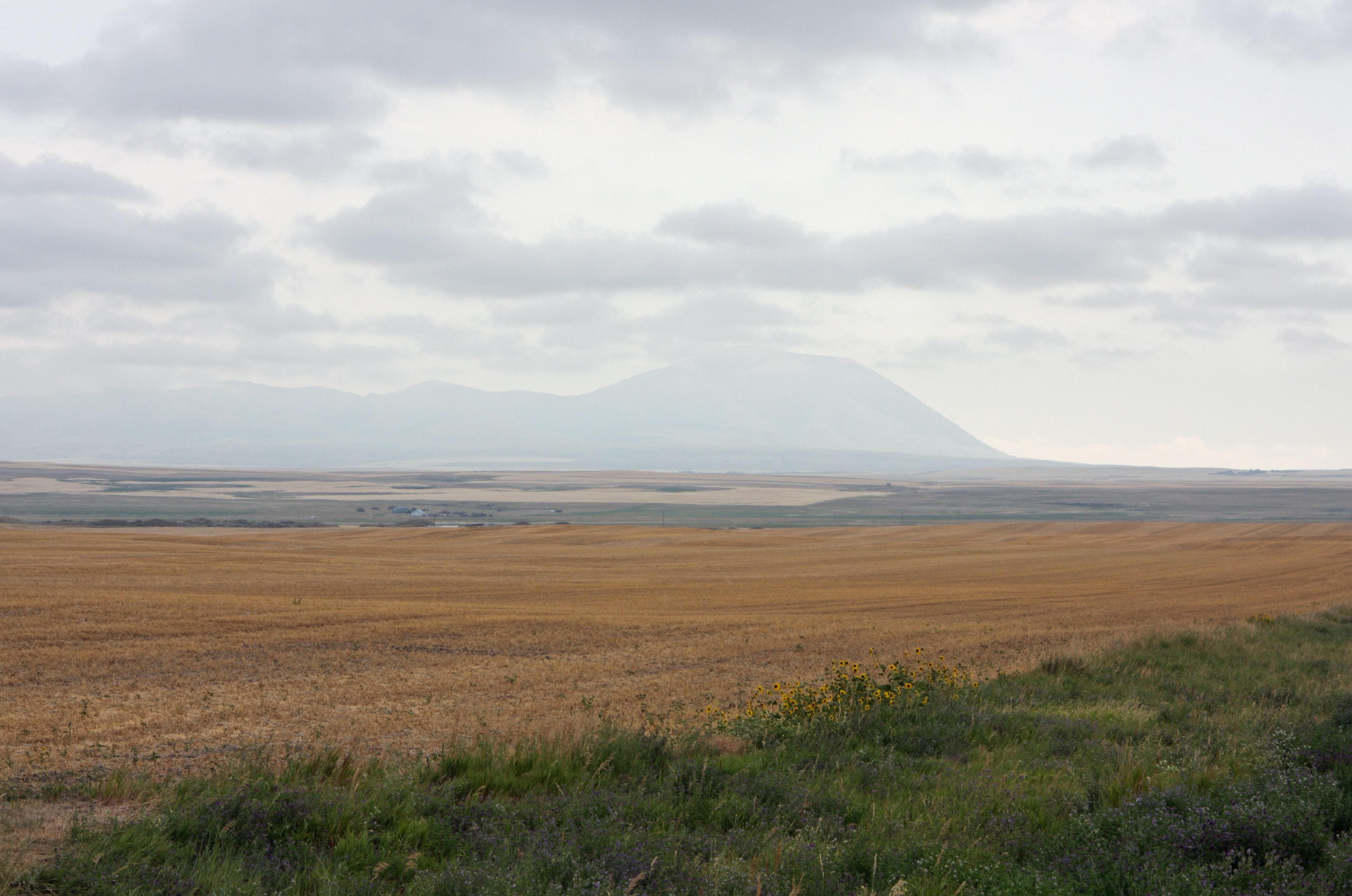
First Glimpse - Sweet Grass Hills - Montana

Reminds me of a default Windows desktop background
Topographic Map of U.S. Customs and Border Protection, I-15, Sweet Grass, MT, USA
Find elevation by address:

Places near U.S. Customs and Border Protection, I-15, Sweet Grass, MT, USA:
64 1st Ave
Sweet Grass
Sunburst
Milk River
950 Main St Nw
Oilmont
Tipville Rd, Cut Bank, MT, USA
Potter Rd, Shelby, MT, USA
Ferdig Rd, Oilmont, MT, USA
Toole County
81 Luedtke Rd
US-2, Shelby, MT, USA
Welker Farms
1948 W Roosevelt Hwy
21 Luedtke Rd
Shelby
O'haire Manor Motel Of Shelby
Cut Bank
620 1st St Se
Sweet Grass Hills
Recent Searches:
- Elevation of 6 Rue Jules Ferry, Beausoleil, France
- Elevation of Sattva Horizon, 4JC6+G9P, Vinayak Nagar, Kattigenahalli, Bengaluru, Karnataka, India
- Elevation of Great Brook Sports, Gold Star Hwy, Groton, CT, USA
- Elevation of 10 Mountain Laurels Dr, Nashua, NH, USA
- Elevation of 16 Gilboa Ln, Nashua, NH, USA
- Elevation of Laurel Rd, Townsend, TN, USA
- Elevation of 3 Nestling Wood Dr, Long Valley, NJ, USA
- Elevation of Ilungu, Tanzania
- Elevation of Yellow Springs Road, Yellow Springs Rd, Chester Springs, PA, USA
- Elevation of Rēzekne Municipality, Latvia