Elevation of Vía Pasado, Red Bluff, CA, USA
Location: United States > California > Tehama County > Red Bluff >
Longitude: -122.19863
Latitude: 40.2578325
Elevation: 104m / 341feet
Barometric Pressure: 100KPa
Elevation Map:
Satellite Map:
Related Photos:

Mount Shasta - A Telephoto Landscape

Strip [4]
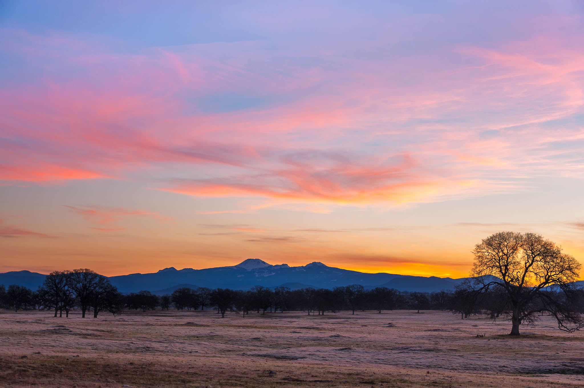
Oh yeah! (Mt. Lassen Sunrise)

Iron Canyon Loop

No 1 Chinese Buffet

Hogsback Sky

Double Take (State Theater Red Bluff)

Stranger 3/100

Glass Eye photo show iPhone pano, Red Bluff CA

Riverside Bar and Grill

Gingerbread Victorian

Main and Walnut

The View

Red Bluff Diversion Dam

Lone.

Oaks of Gold
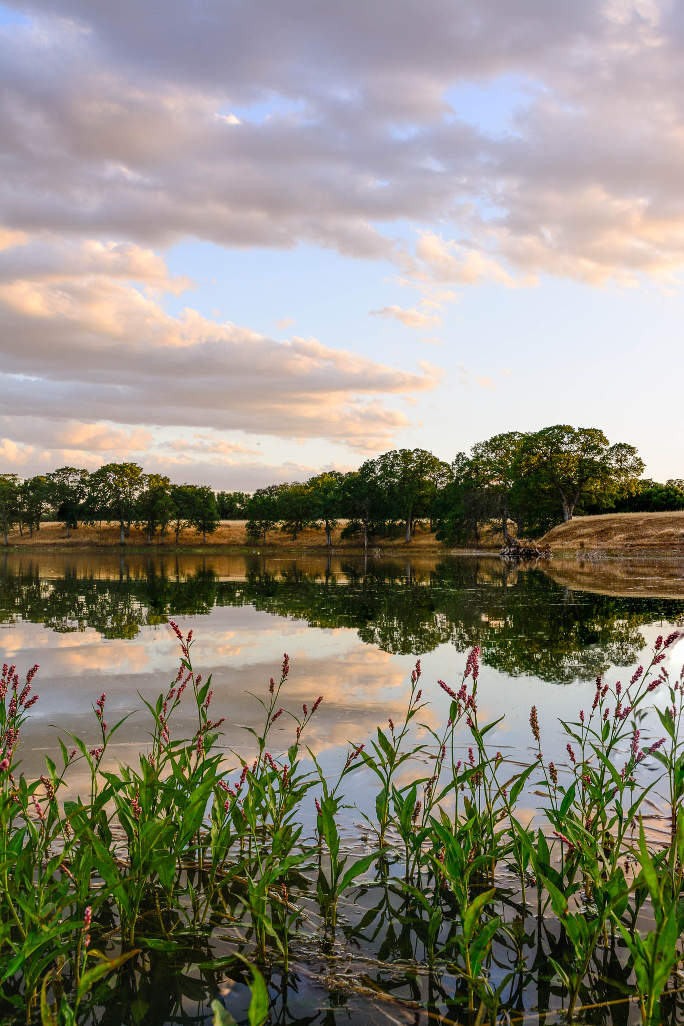
Coyote Pond - A New Breathe
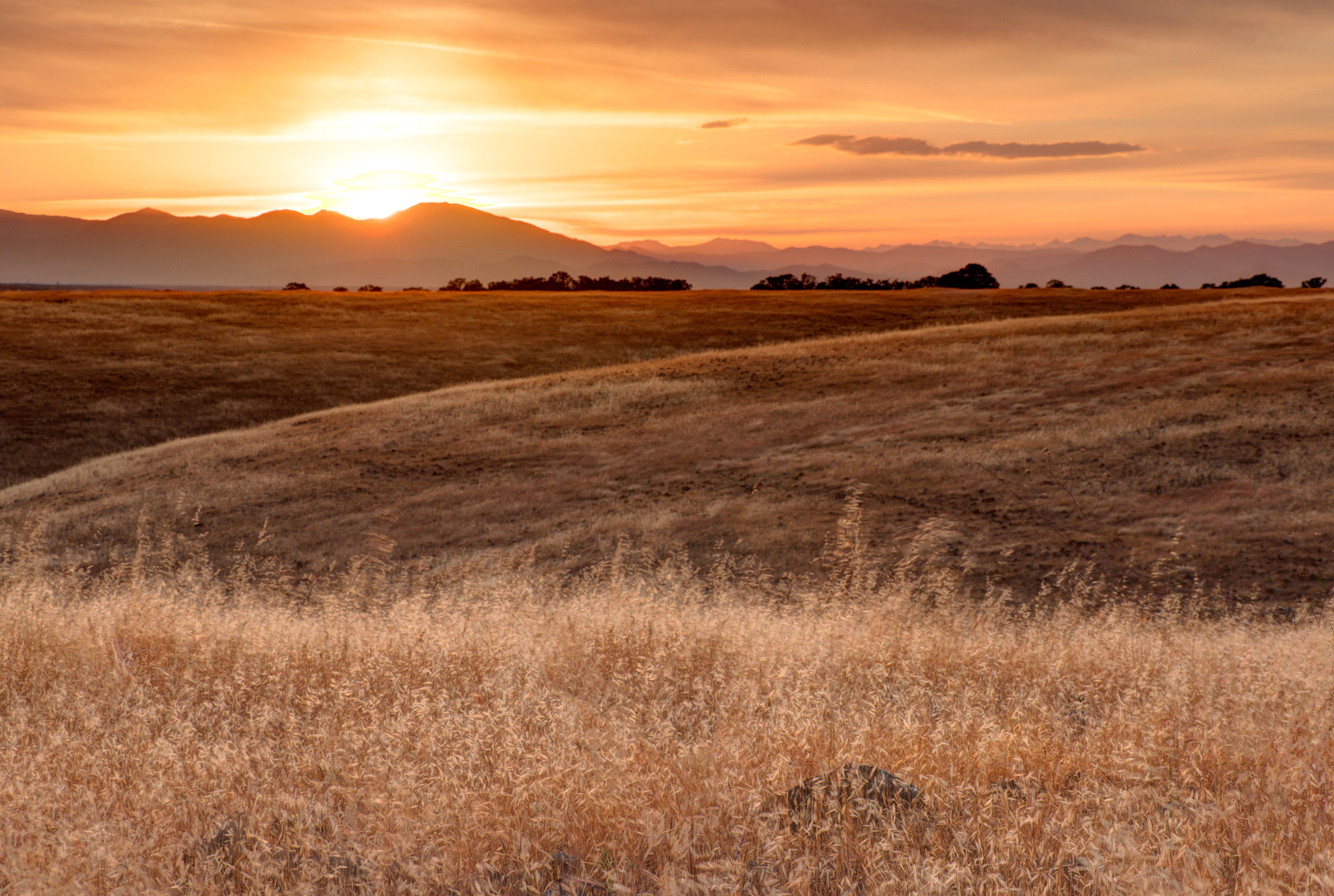
Sacramento Valley (Endless Hope)

Flowing Clouds Above Still Plains :: #northern #california #red #bluff #tehama #highway #36 #summer #beautiful #cloudscape #landscape #trees #shrubs #fields #grass #sharp #mountains #distance #amazing #blue #sky #clouds #iphoneonly #igers #instadaily

Alive, a Little Ways Off I-5 :: #36 #highway #redbluff #red #bluff #california #landscape #mountains #trees #fields #farmland #golden #beautiful #day #clouds #blue #vibrant #roadtrip #summer

Two Flowers
Alive on I-5, 4 :: #redbluff #california #highway36 #red #bluff #tree #field #beautiful #blue #sky #puffy #clouds #golden #landscape #day #vibrant #cloudscape

Anomaly.
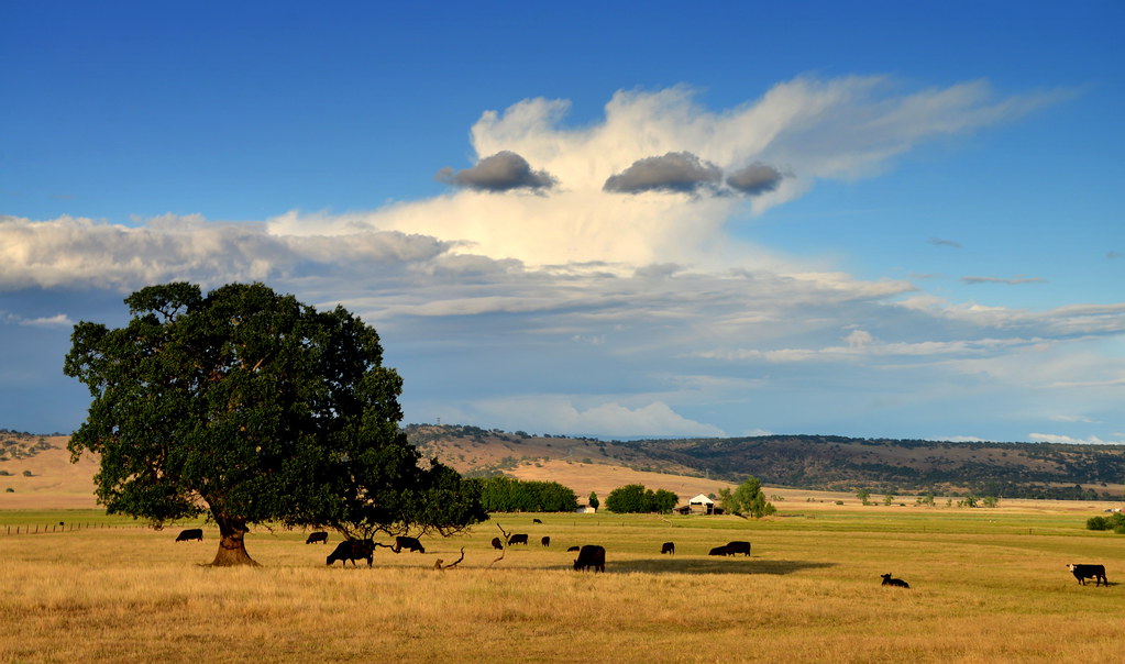
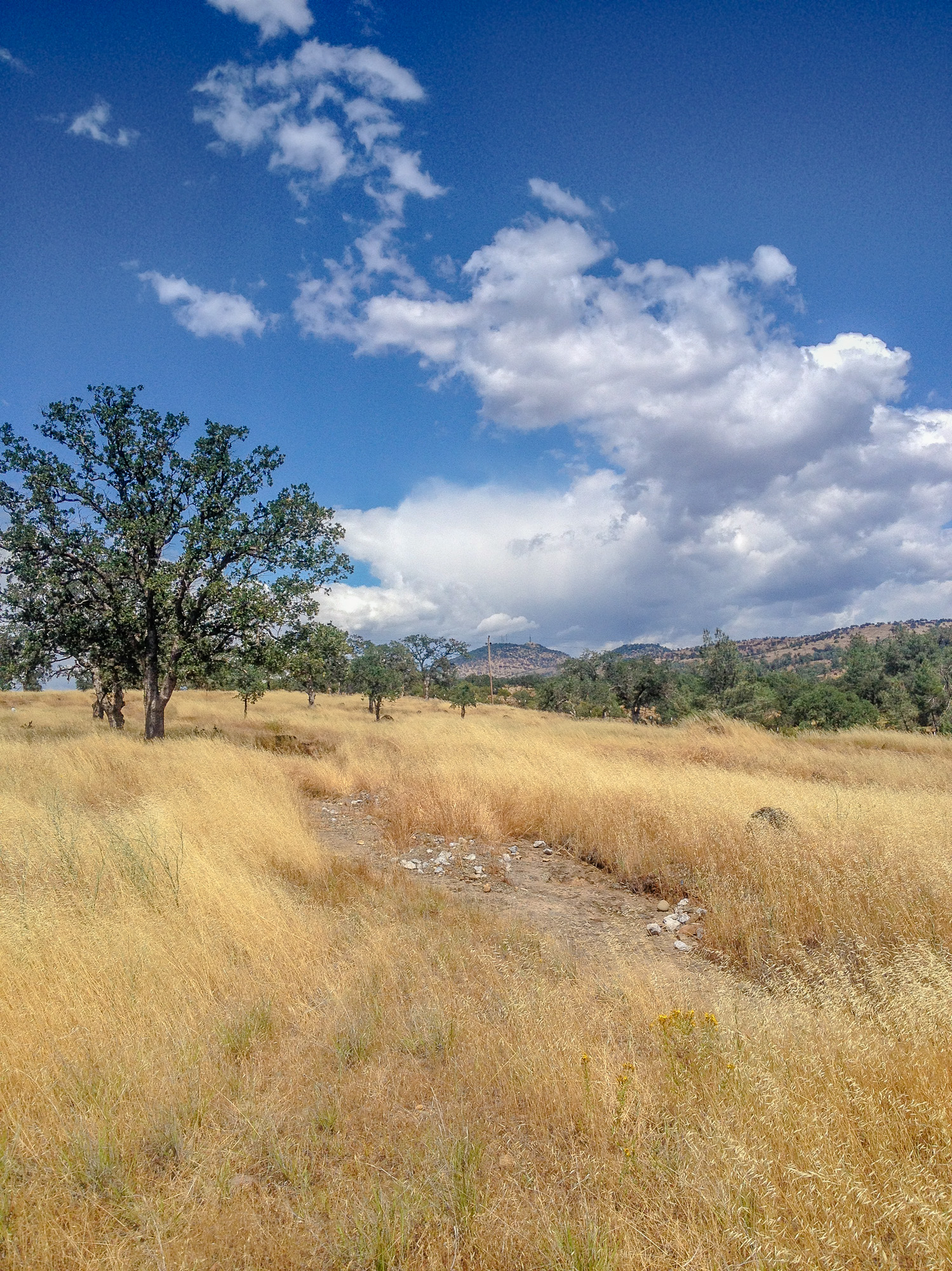
Highway 36 Pastoral Landscape, California

The Minds Eye

Sacramento River (Livin' on the Edge)

Sunsets forever

Sacramento River (His Glory)

Wait for it
Topographic Map of Vía Pasado, Red Bluff, CA, USA
Find elevation by address:

Places near Vía Pasado, Red Bluff, CA, USA:
Brent Rd, Red Bluff, CA, USA
15965 E Wallen Rd
Bend
Middletree Ranch Road
Penner Drive
21310 Wilcox Rd
Via Del Roble
Lyn Ellen Drive
Frantz Drive
855 Lakeside Dr
22048 Grove Cir
18957 Ketch Pl
Red Bluff
350 Gilmore Rd Spc 6
Villa Columbia
14900 Mccoy Rd
1720 Douglass St
13301 Baker Rd
1125 Aloha St
1435 Aloha St
Recent Searches:
- Elevation of Shibuya Scramble Crossing, 21 Udagawacho, Shibuya City, Tokyo -, Japan
- Elevation of Jadagoniai, Kaunas District Municipality, Lithuania
- Elevation of Pagonija rock, Kranto 7-oji g. 8"N, Kaunas, Lithuania
- Elevation of Co Rd 87, Jamestown, CO, USA
- Elevation of Tenjo, Cundinamarca, Colombia
- Elevation of Côte-des-Neiges, Montreal, QC H4A 3J6, Canada
- Elevation of Bobcat Dr, Helena, MT, USA
- Elevation of Zu den Ihlowbergen, Althüttendorf, Germany
- Elevation of Badaber, Peshawar, Khyber Pakhtunkhwa, Pakistan
- Elevation of SE Heron Loop, Lincoln City, OR, USA