Elevation map of Tehama County, CA, USA
Location: United States > California >
Longitude: -122.17460
Latitude: 40.0982197
Elevation: 77m / 253feet
Barometric Pressure: 100KPa
Elevation Map:
Satellite Map:
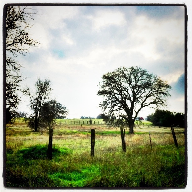
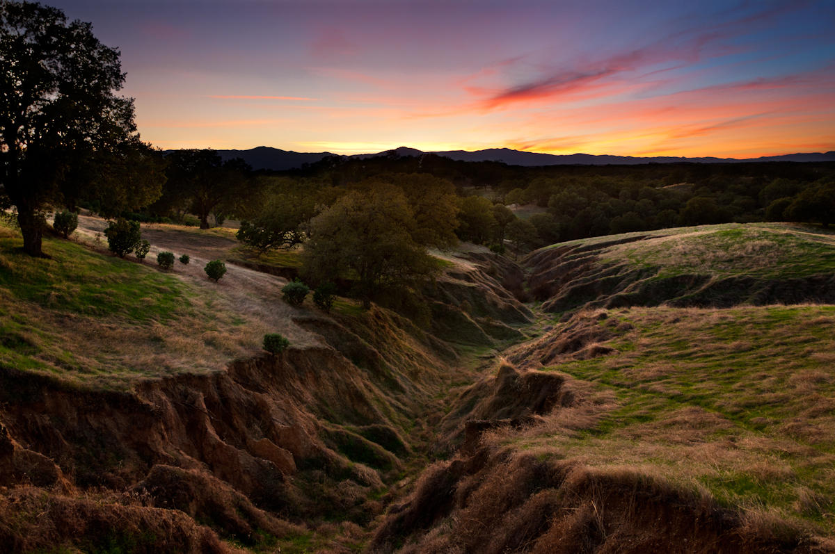
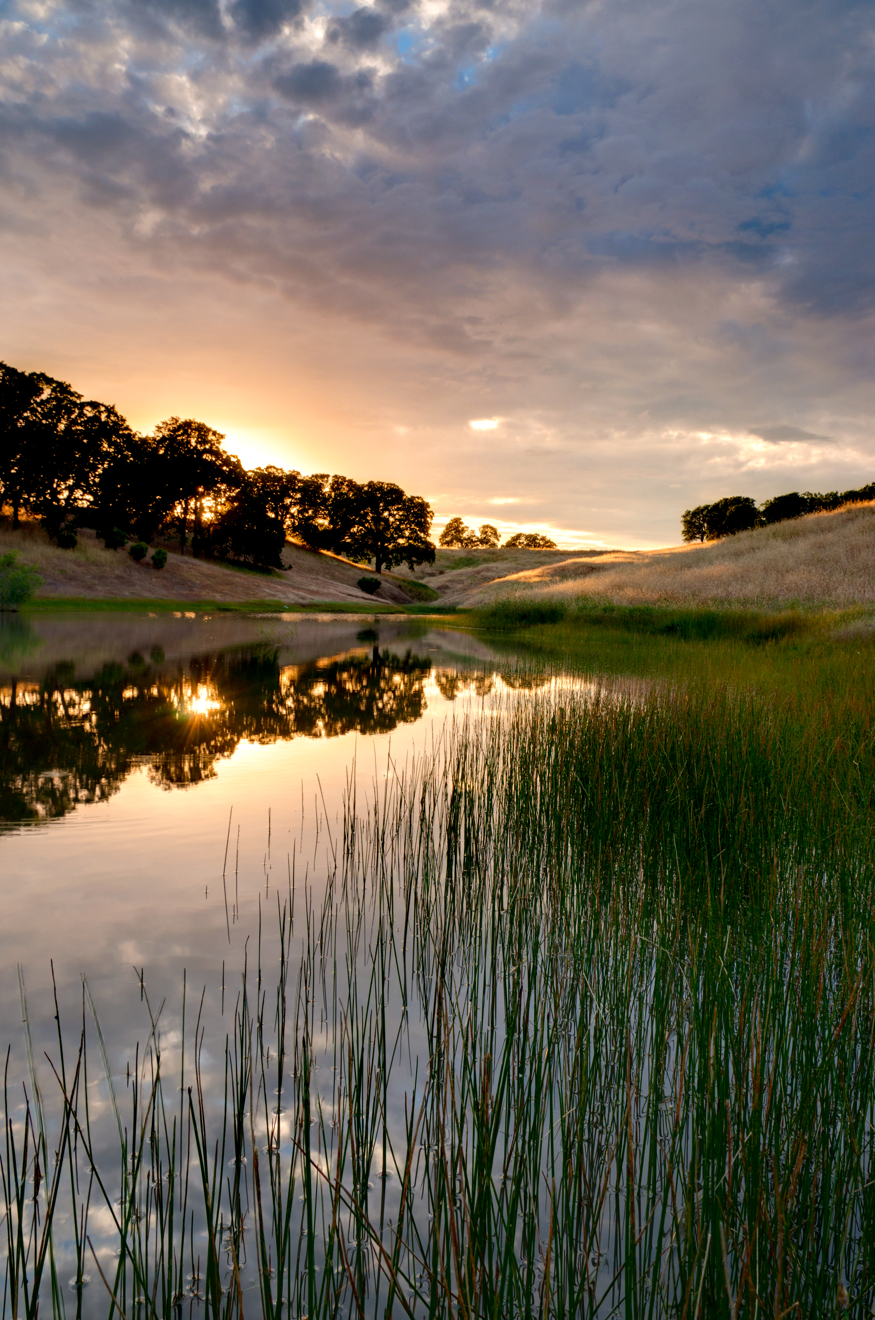
Related Photos:

1:4

Double Take (State Theater Red Bluff)

View from my evening walk. #instacamp

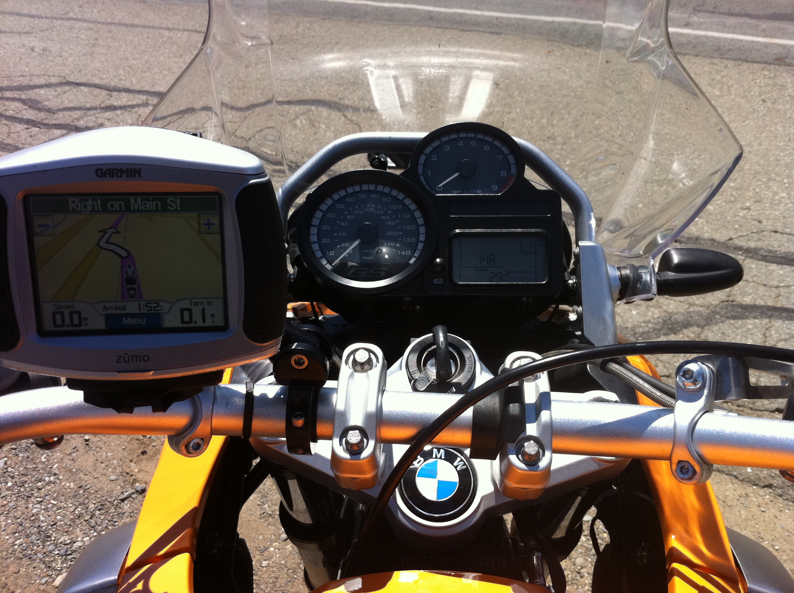
View from the car (don't worry...

Stranger 3/100
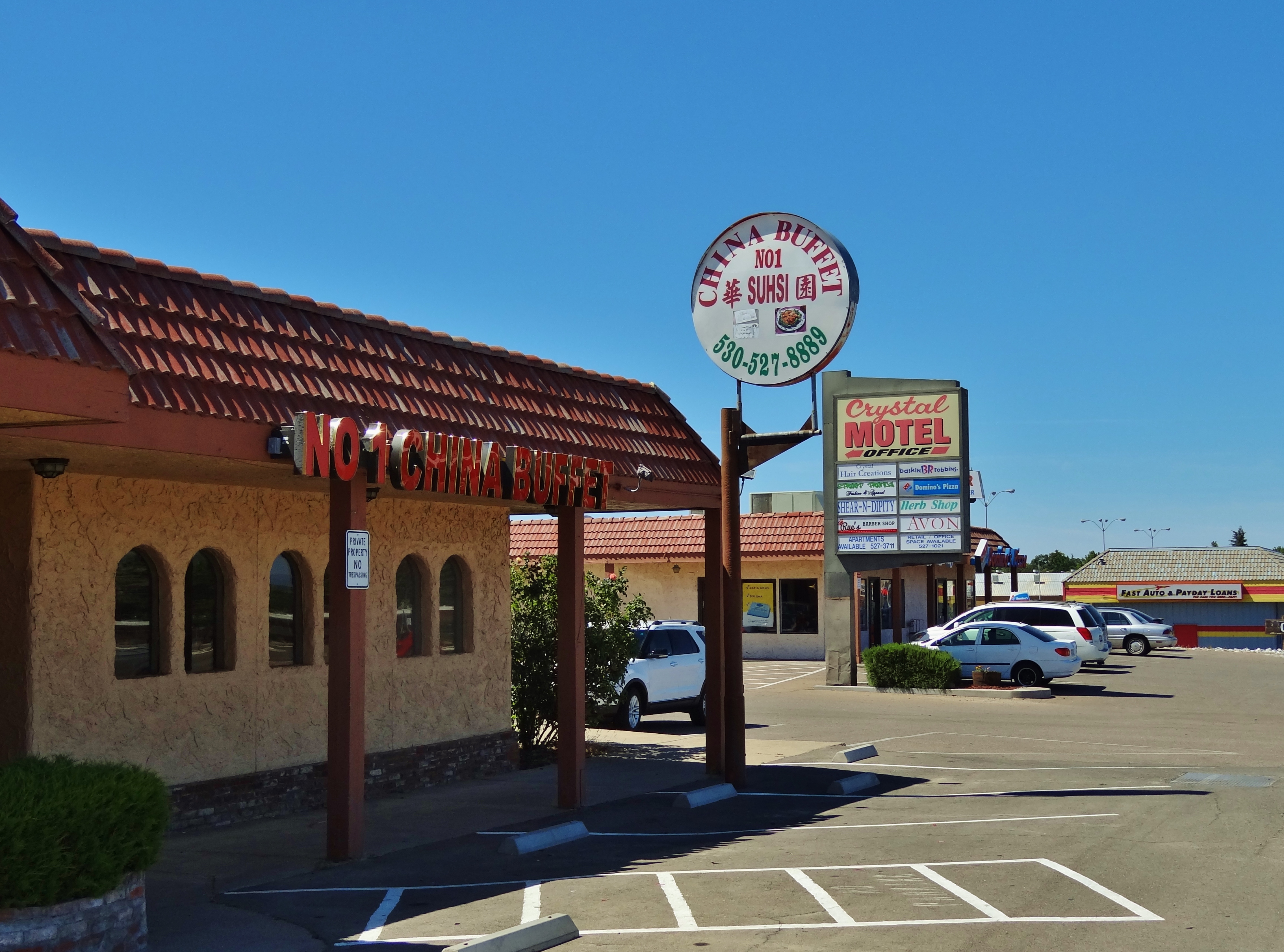
No 1 Chinese Buffet

Cowboy collectable's
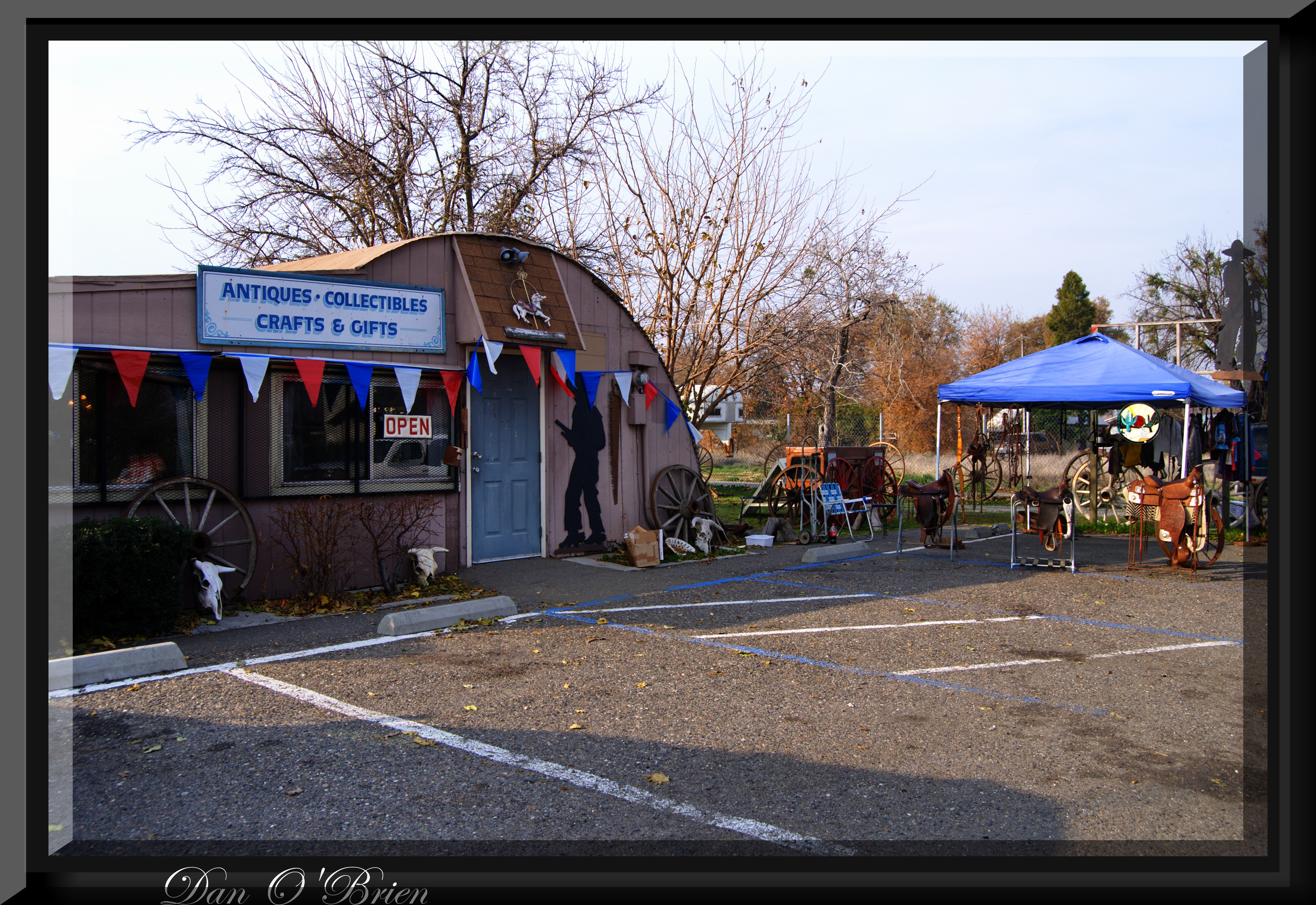
Cowboy collectable's(1)

Gingerbread Victorian

Carol's Browse Around(2)
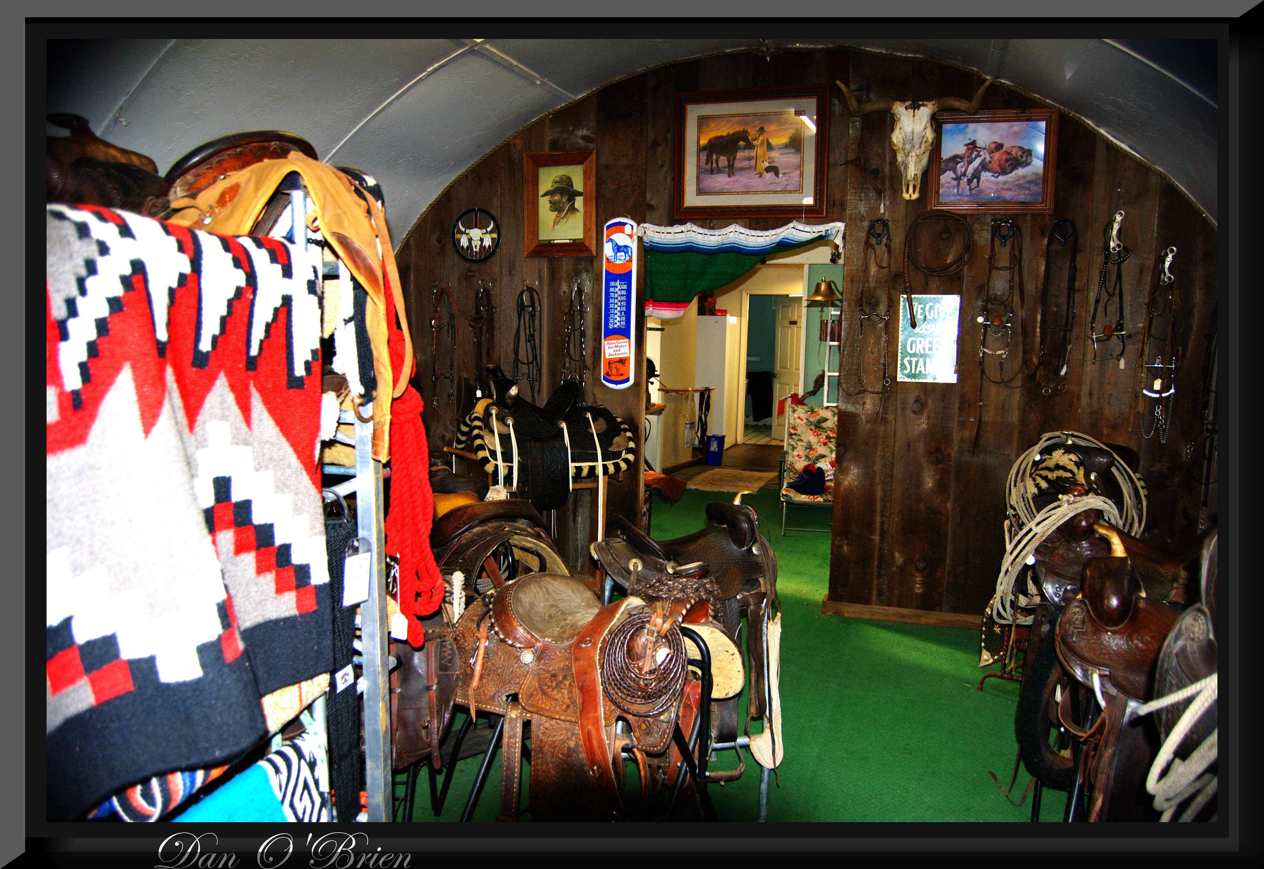
Cowboy collectable's(2)

Main and Walnut

Carol's Browse Around
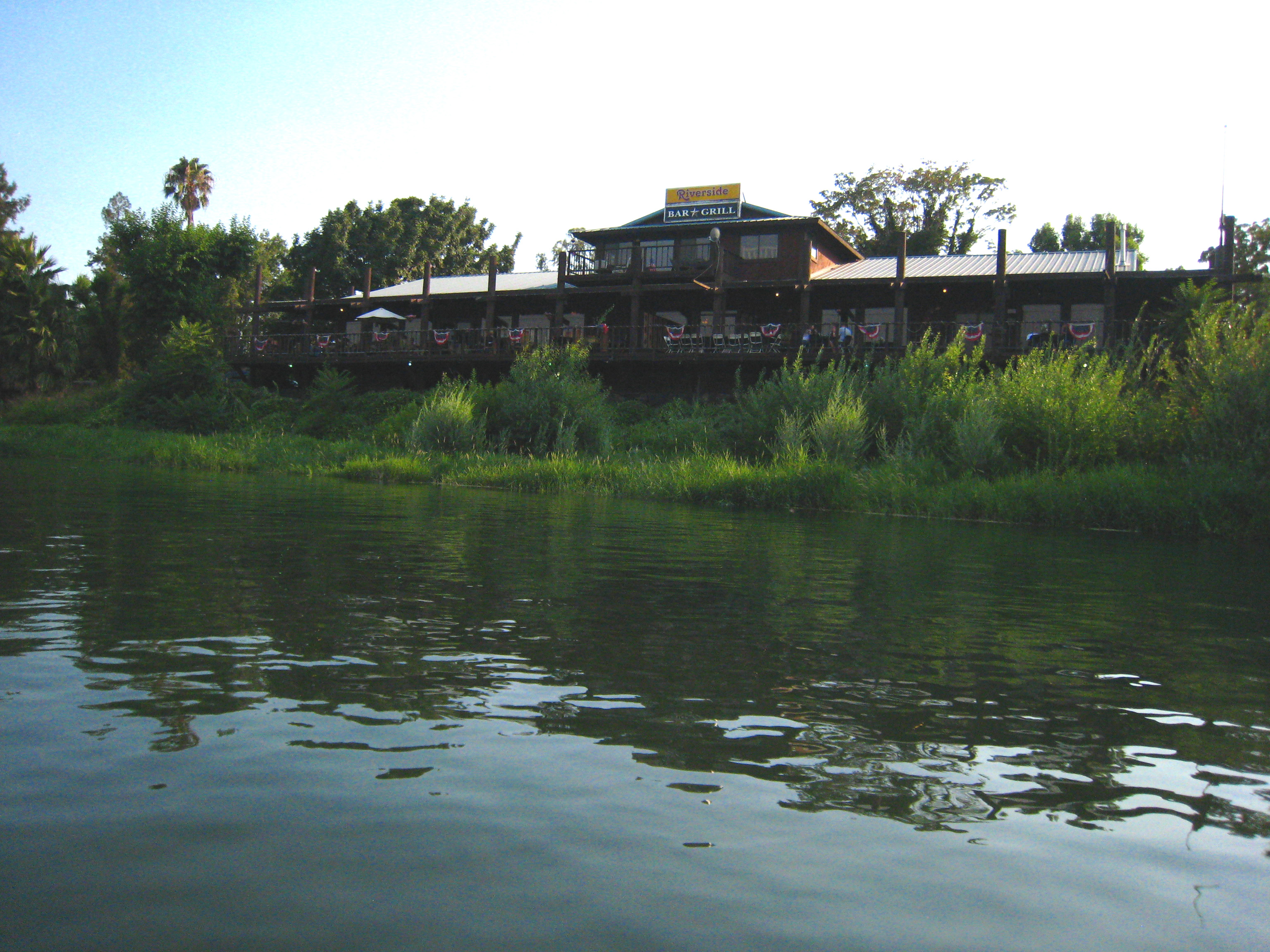
Riverside Bar and Grill
The View
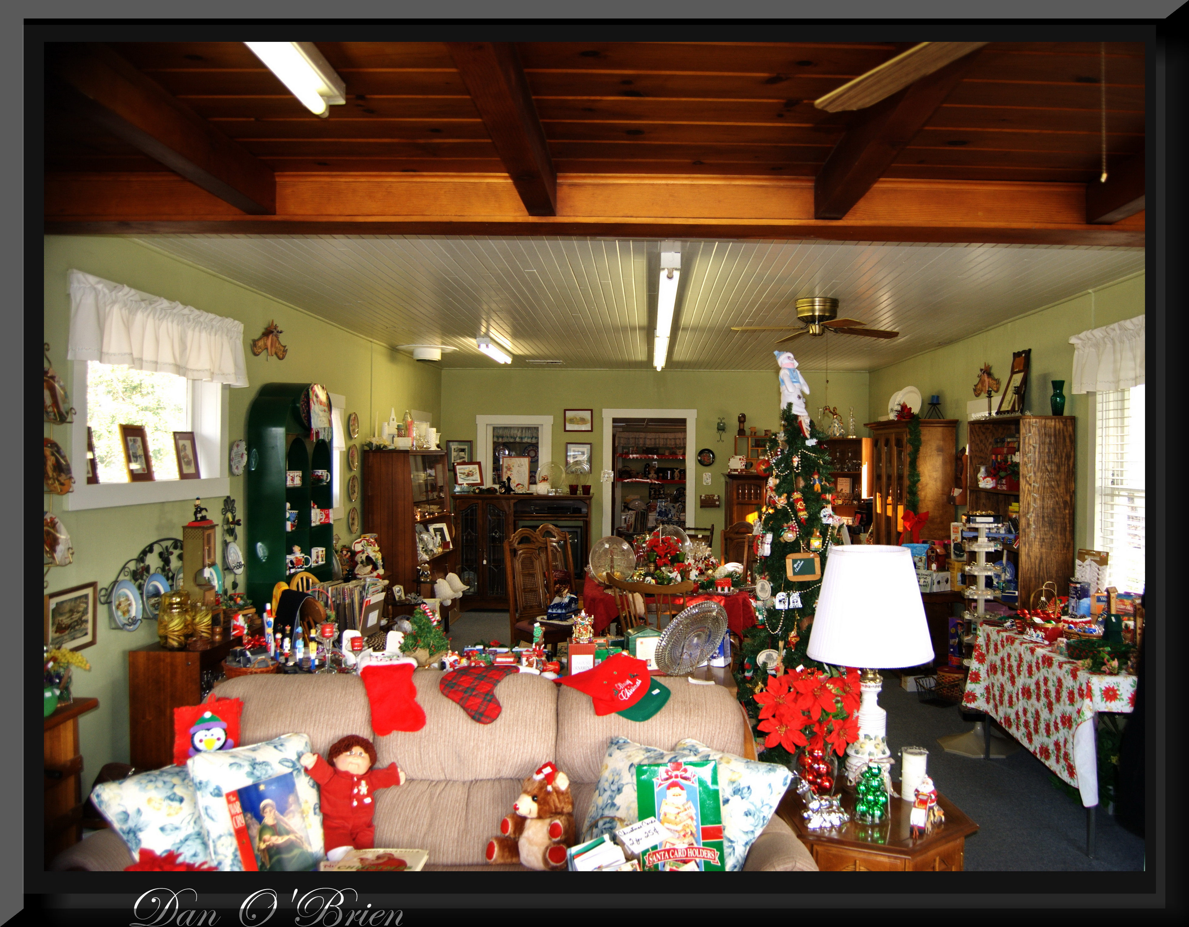
Carol's Browse Around(1)
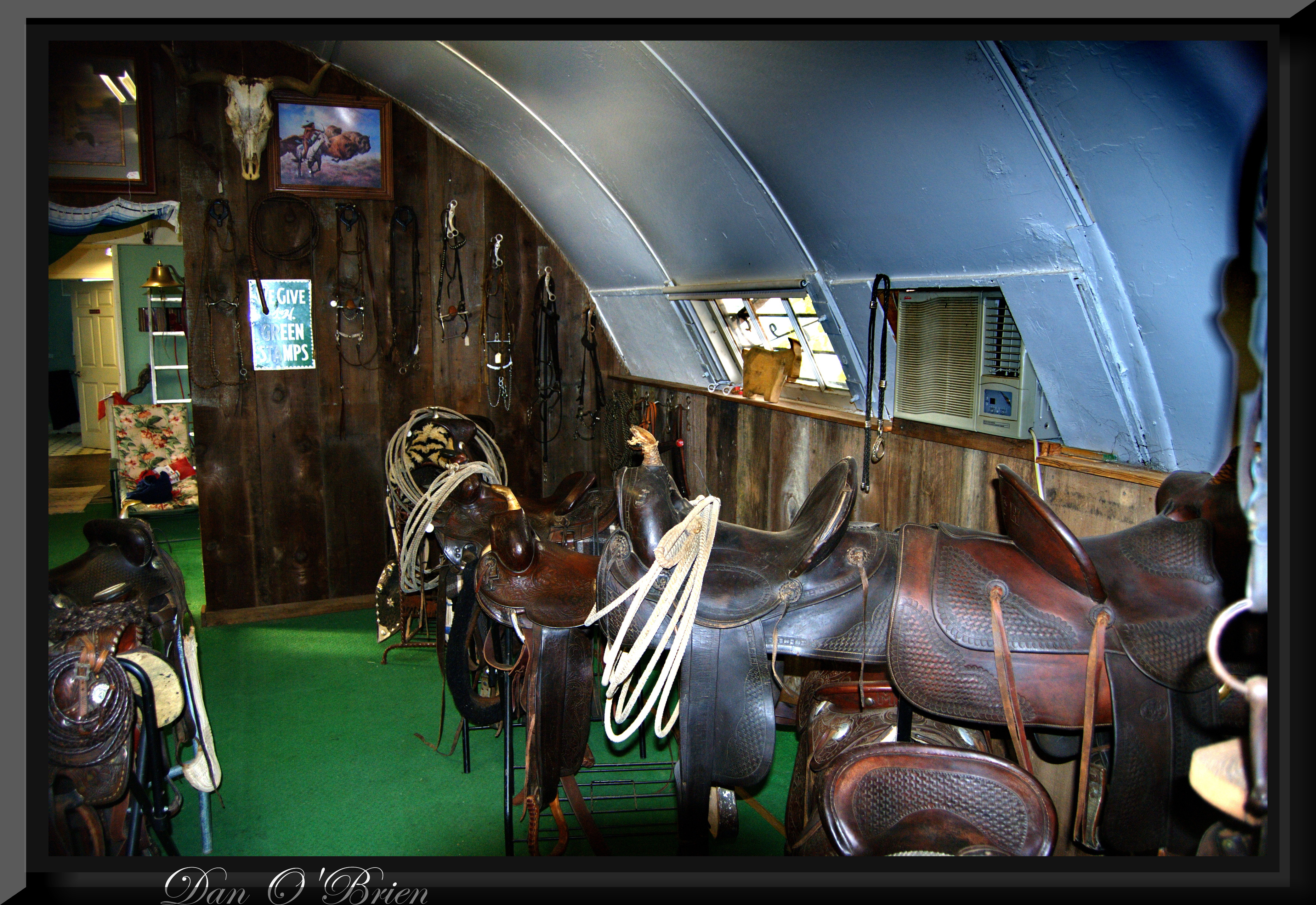
Cowboy collectable's(3)

Almond Orchard Blossoms

sur la California State Route 36

The Minds Eye
I-5

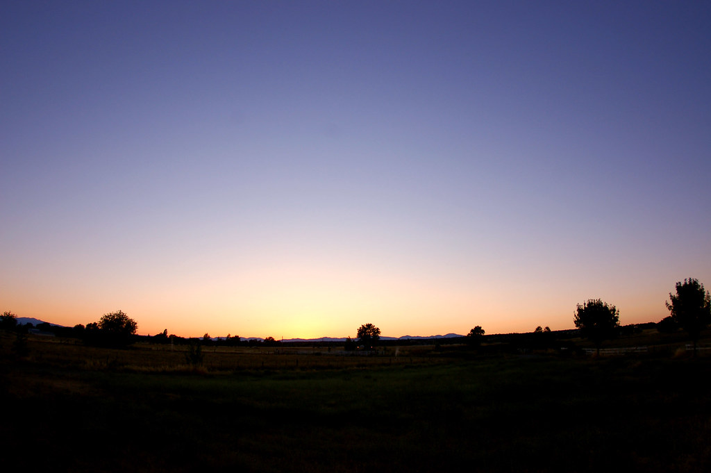
Red Bluff Sunset (Ive got a feeling)
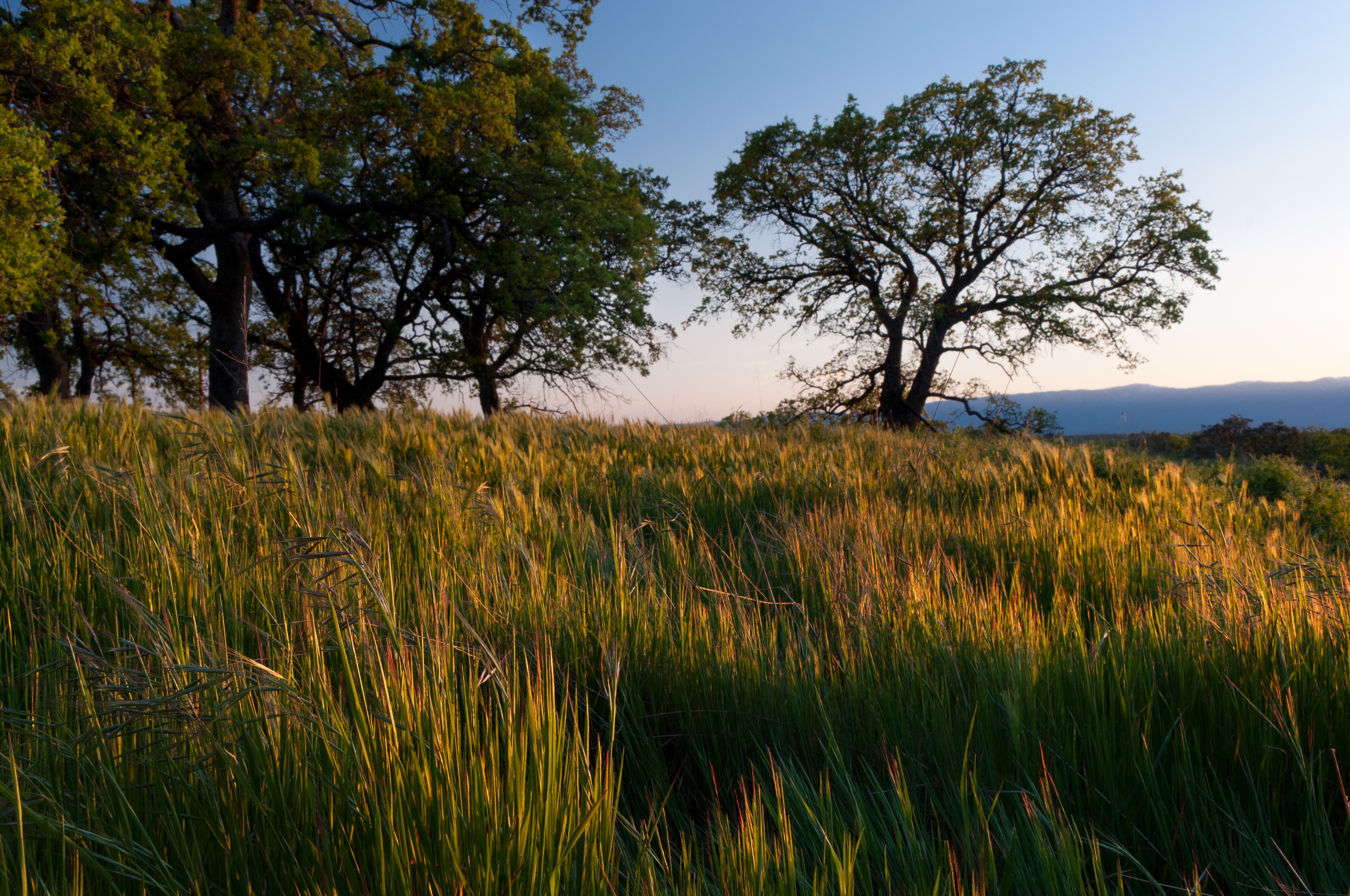
The Ranch
Wait for it
Date Night
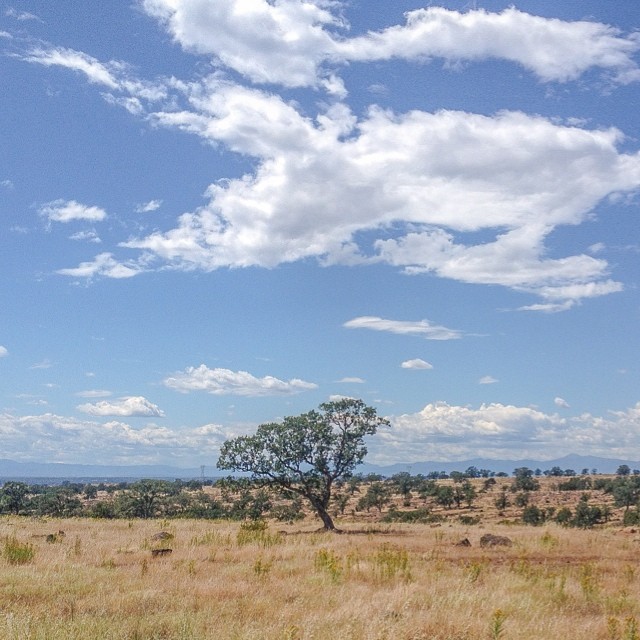
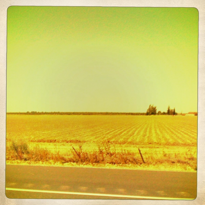
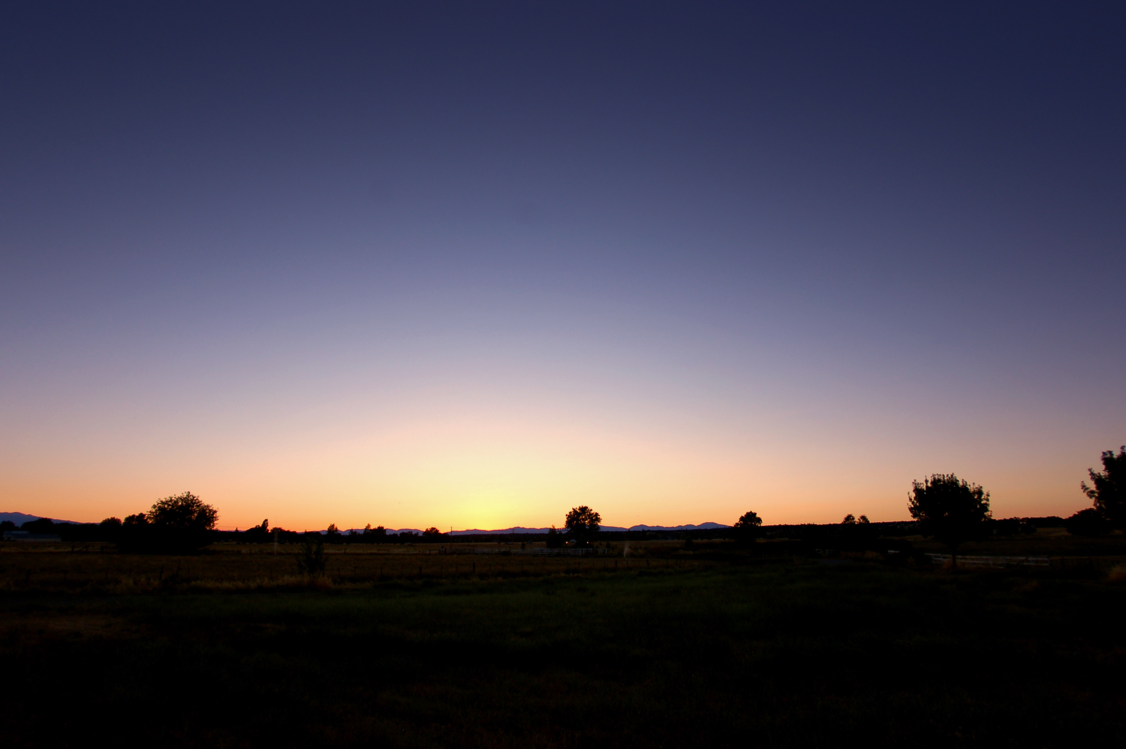
Flowing Clouds Above Still Plains :: #northern #california #red #bluff #tehama #highway #36 #summer #beautiful #cloudscape #landscape #trees #shrubs #fields #grass #sharp #mountains #distance #amazing #blue #sky #clouds #iphoneonly #igers #instadaily

Red Bluff Diversion Dam
The 4th Sunset
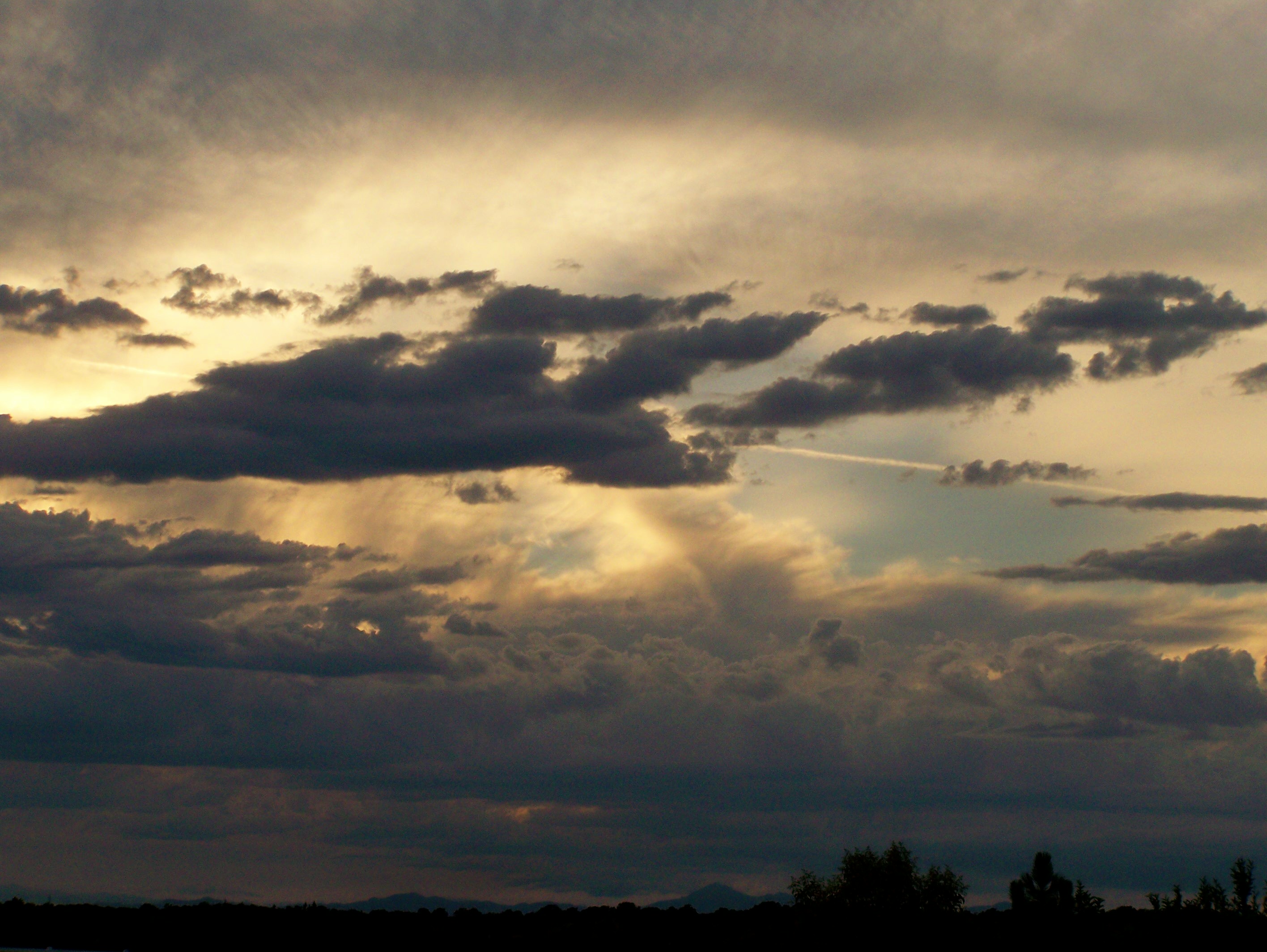
Cloud Landscape
2010_7.4---59.jpg
Spring!

Common Buckeye

A big thunder and lightening storm...
Growing Fonder

A Photographer
Topographic Map of Tehama County, CA, USA
Find elevation by address:

Places in Tehama County, CA, USA:
Red Bluff
Corning
Anderson
Gerber
Vina
Manton
Mineral
Paskenta
Los Molinos
Rancho Tehama Reserve
Flournoy
1st St, Gerber, CA, USA
Gerber-las Flores
Usfs Road
Tehama
Places near Tehama County, CA, USA:
Red Bluff
1st St, Gerber, CA, USA
State Hwy 99w, Red Bluff, CA, USA
Gerber-las Flores
Gerber
Ventura Ave, Gerber, CA, USA
State Hwy 99w, Gerber, CA, USA
El Camino
Kauffman Ave, Red Bluff, CA, USA
8791 Fox St
22048 Grove Cir
Tehama
350 Gilmore Rd Spc 6
910 Hasvold Dr
1125 Aloha St
Villa Columbia
855 Lakeside Dr
Red Bluff
1435 Aloha St
Los Molinos
Recent Searches:
- Elevation of Corso Fratelli Cairoli, 35, Macerata MC, Italy
- Elevation of Tallevast Rd, Sarasota, FL, USA
- Elevation of 4th St E, Sonoma, CA, USA
- Elevation of Black Hollow Rd, Pennsdale, PA, USA
- Elevation of Oakland Ave, Williamsport, PA, USA
- Elevation of Pedrógão Grande, Portugal
- Elevation of Klee Dr, Martinsburg, WV, USA
- Elevation of Via Roma, Pieranica CR, Italy
- Elevation of Tavkvetili Mountain, Georgia
- Elevation of Hartfords Bluff Cir, Mt Pleasant, SC, USA