Elevation of Gilmore Rd SPC 6, Red Bluff, CA, USA
Location: United States > California > Tehama County > Red Bluff >
Longitude: -122.22329
Latitude: 40.1726221
Elevation: 80m / 262feet
Barometric Pressure: 100KPa
Elevation Map:
Satellite Map:
Related Photos:

Double Take (State Theater Red Bluff)

1:4

Iron Canyon Loop
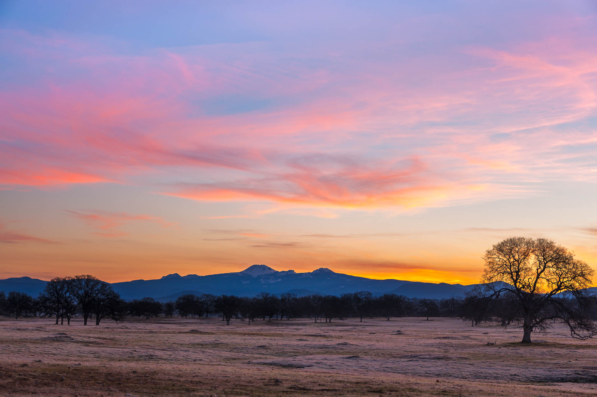
Oh yeah! (Mt. Lassen Sunrise)
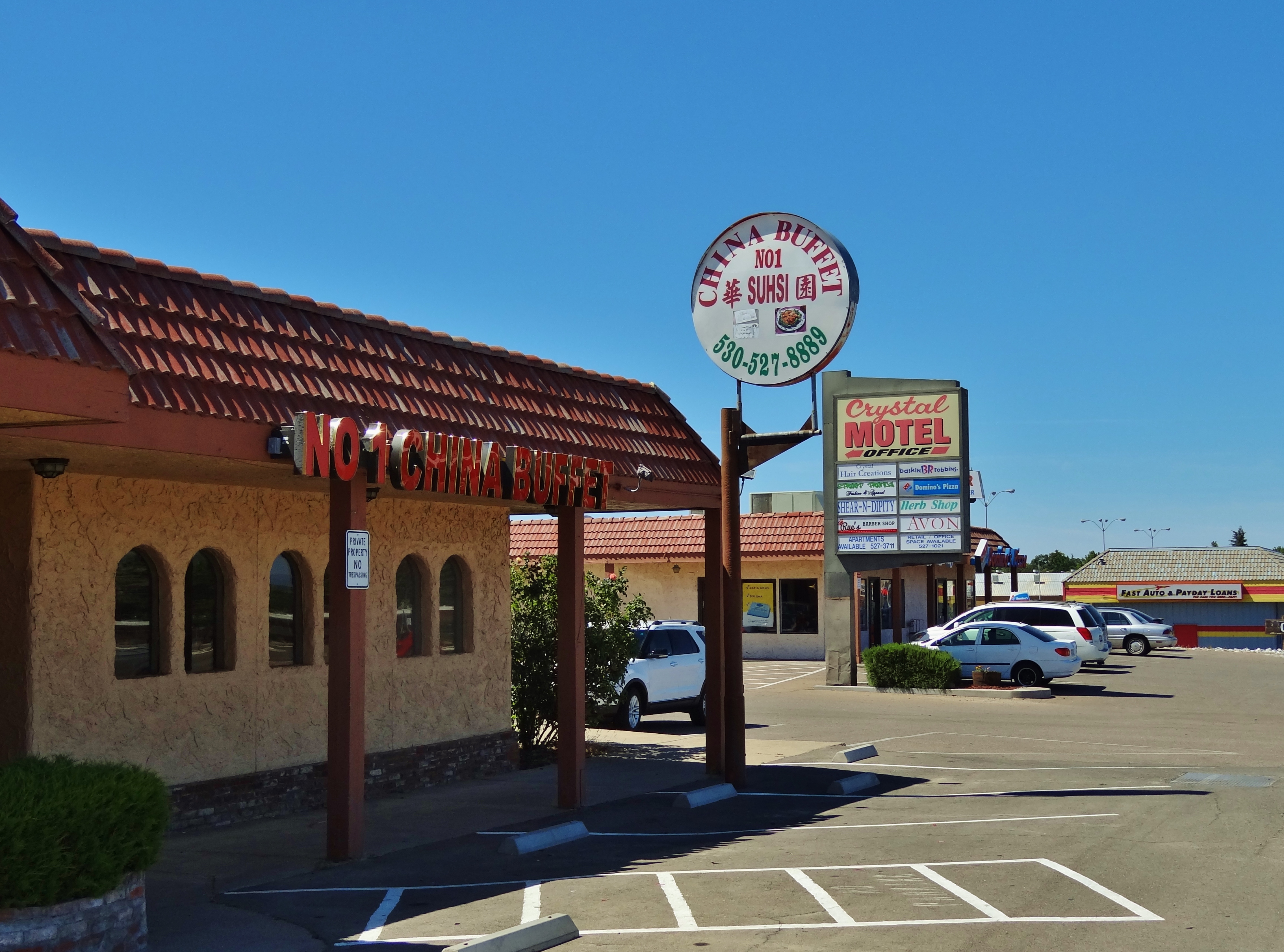
No 1 Chinese Buffet

Stranger 3/100

Interstate 5 Northbound Tehama Valley Freeway approaching Exit 653 - Jells Ferry Road 1 mile with this roadside sign located at Tehama County - South Cottonwood, California. Wildlife Viewing, R.V. Camping and Boat Dock Unloading at the lake exit ahead.

Main and Walnut

Gingerbread Victorian
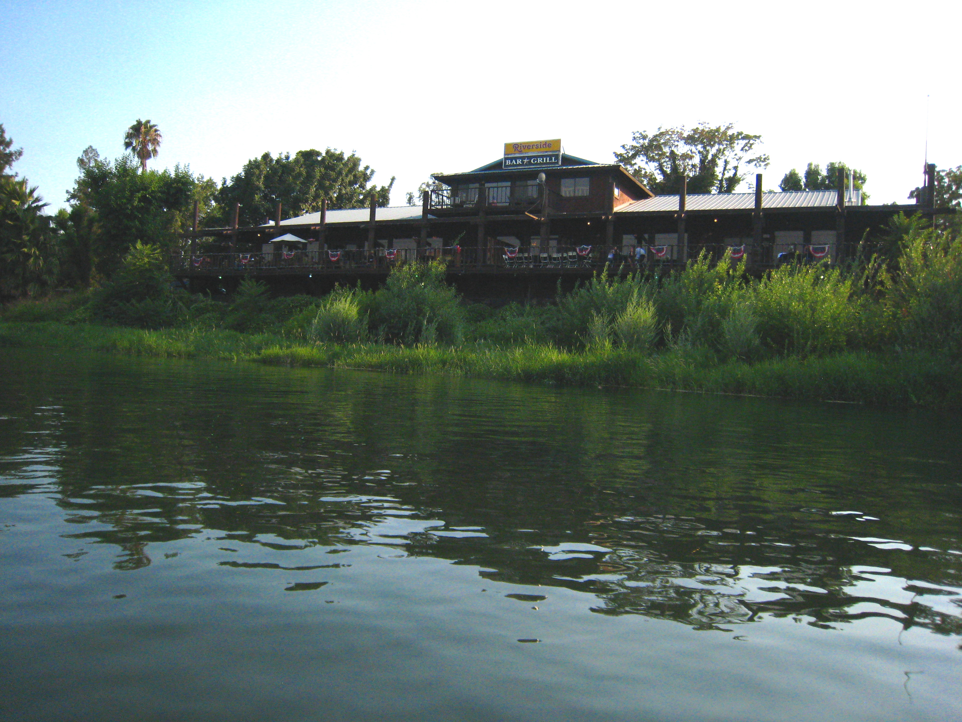
Riverside Bar and Grill
The View

T.I.P. trailer near Red Bluff, California... 20160502_4170

Glass Eye photo show iPhone pano, Red Bluff CA

Sacramento River (His Glory)
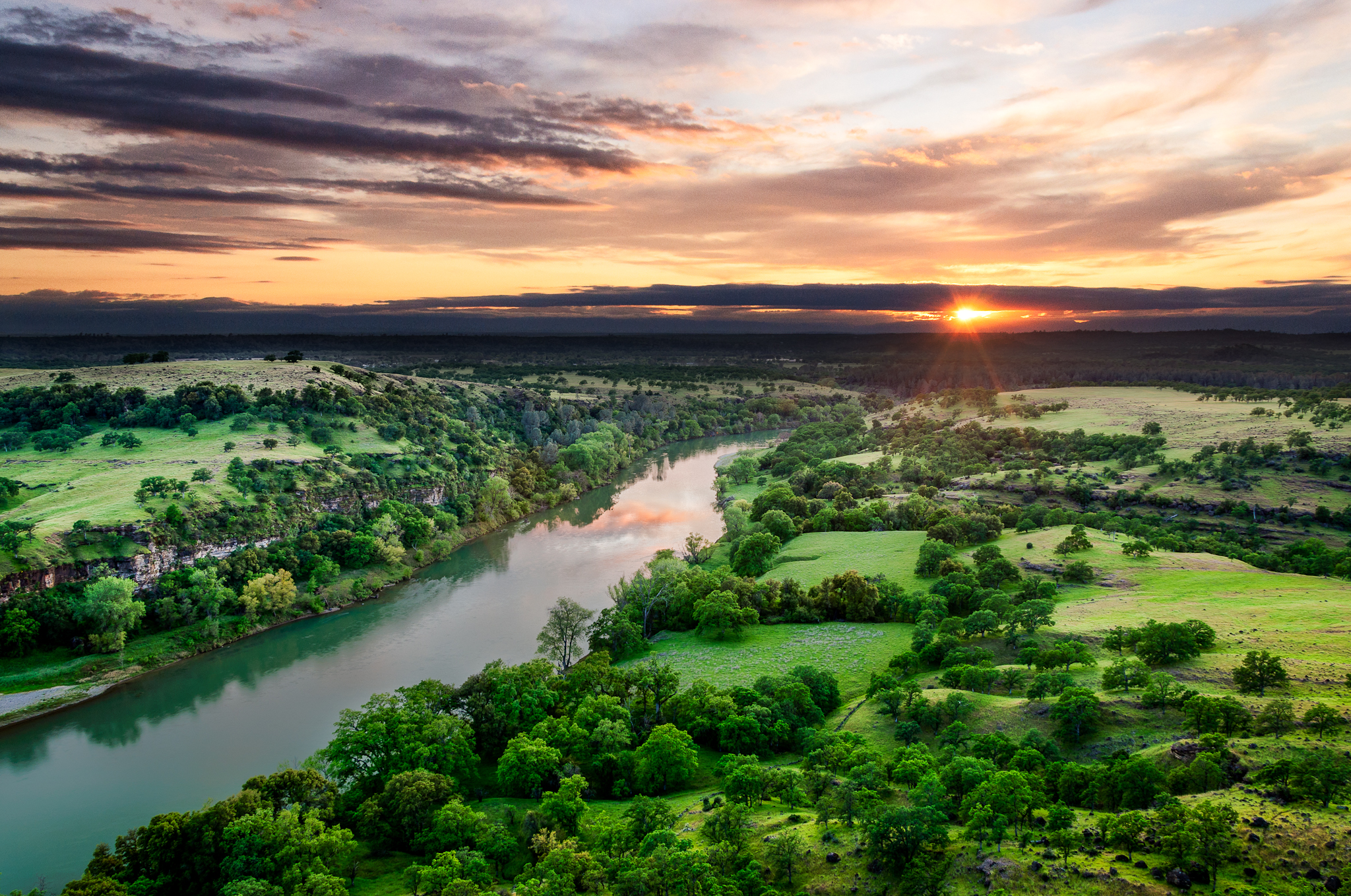
Sacramento River (His Glory)

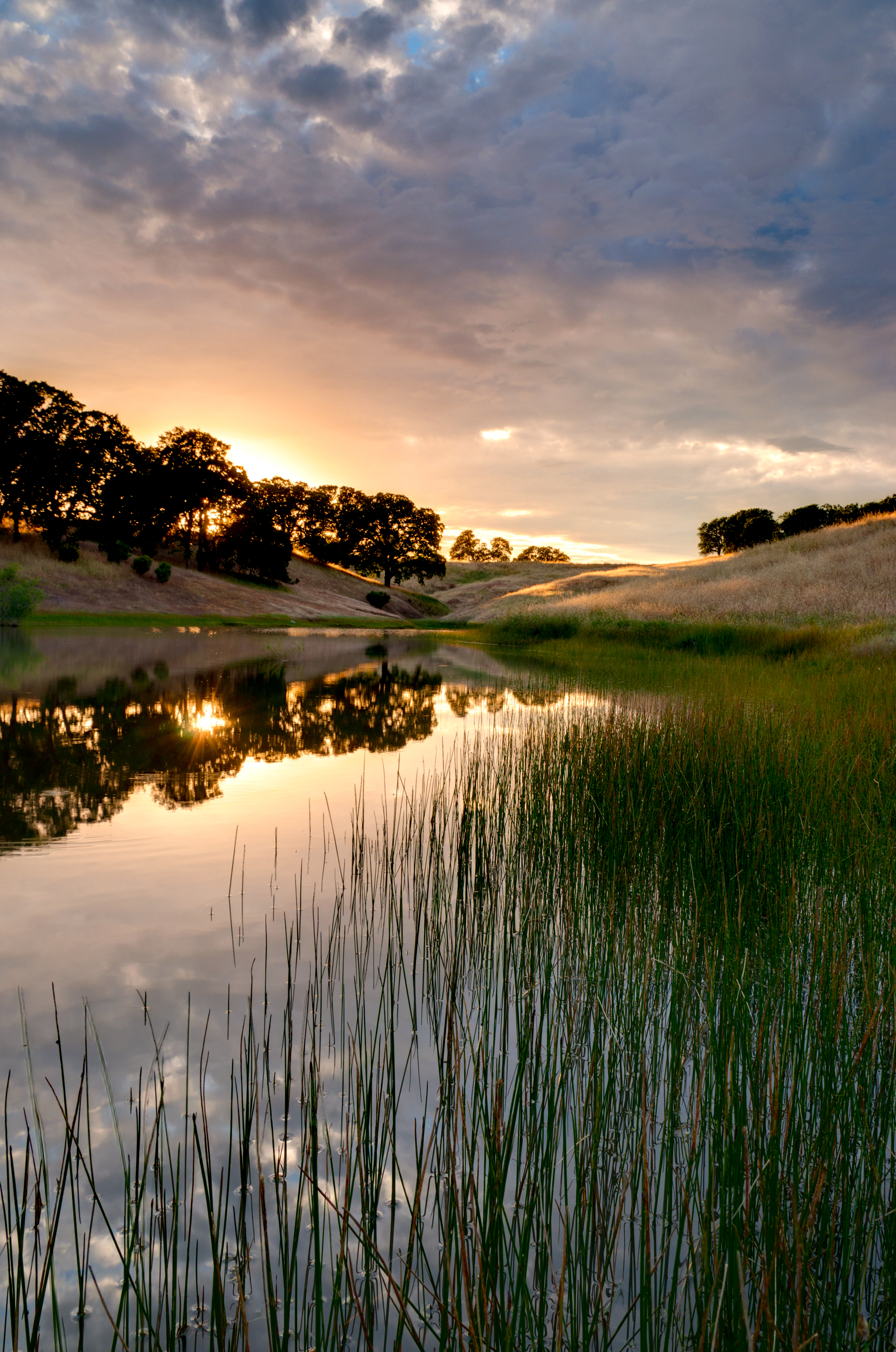
Sacramento River (Dreaming in Vertical)

Red Bluff Sunset (Ive got a feeling)

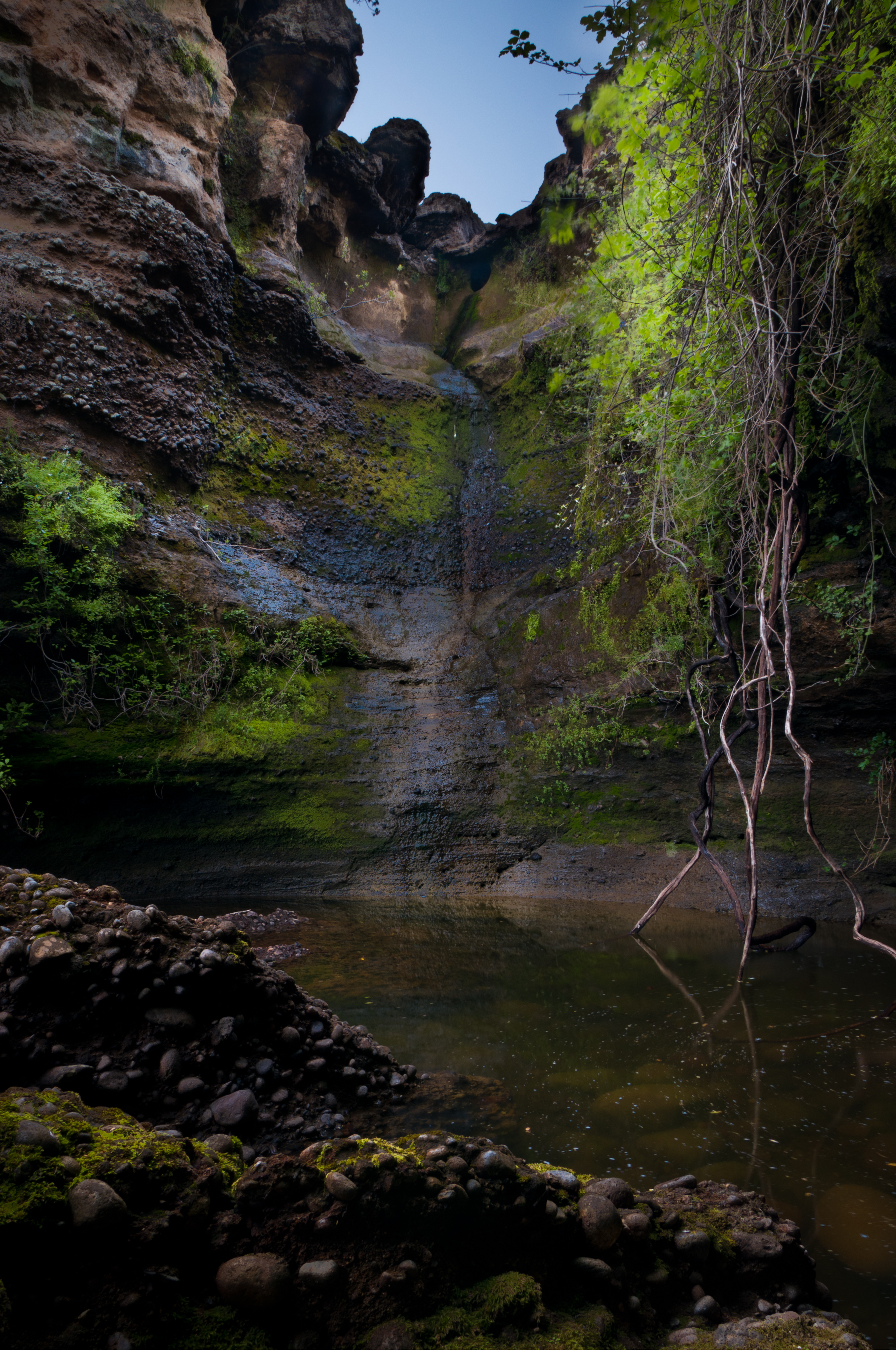
Turtle Creek Falls (To the Edge)

Almond Orchard Blossoms
Rest Area along I-5
The Minds Eye
Date Night
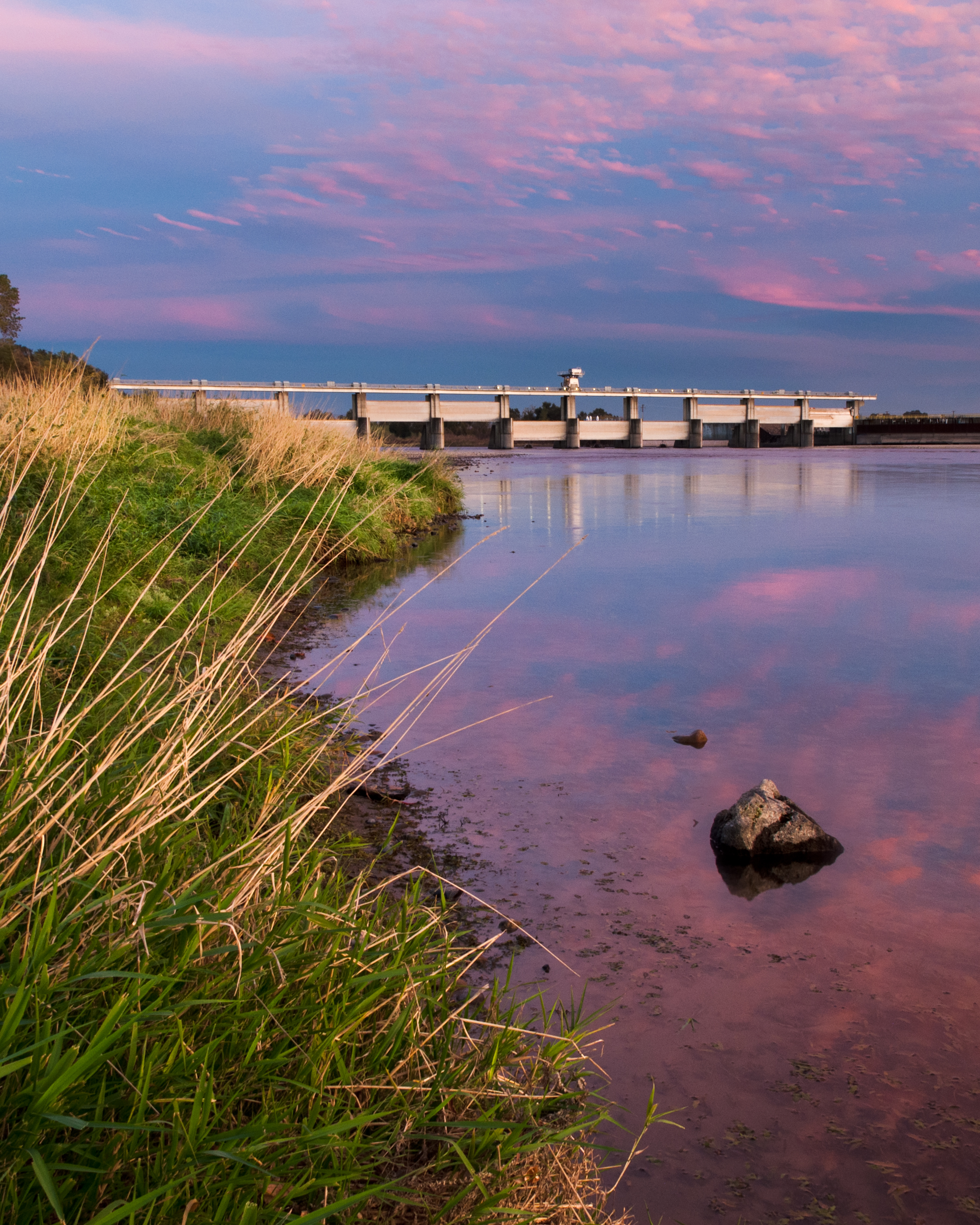
Red Bluff Diversion Dam
Sunsets forever

Lost Memory
I-5

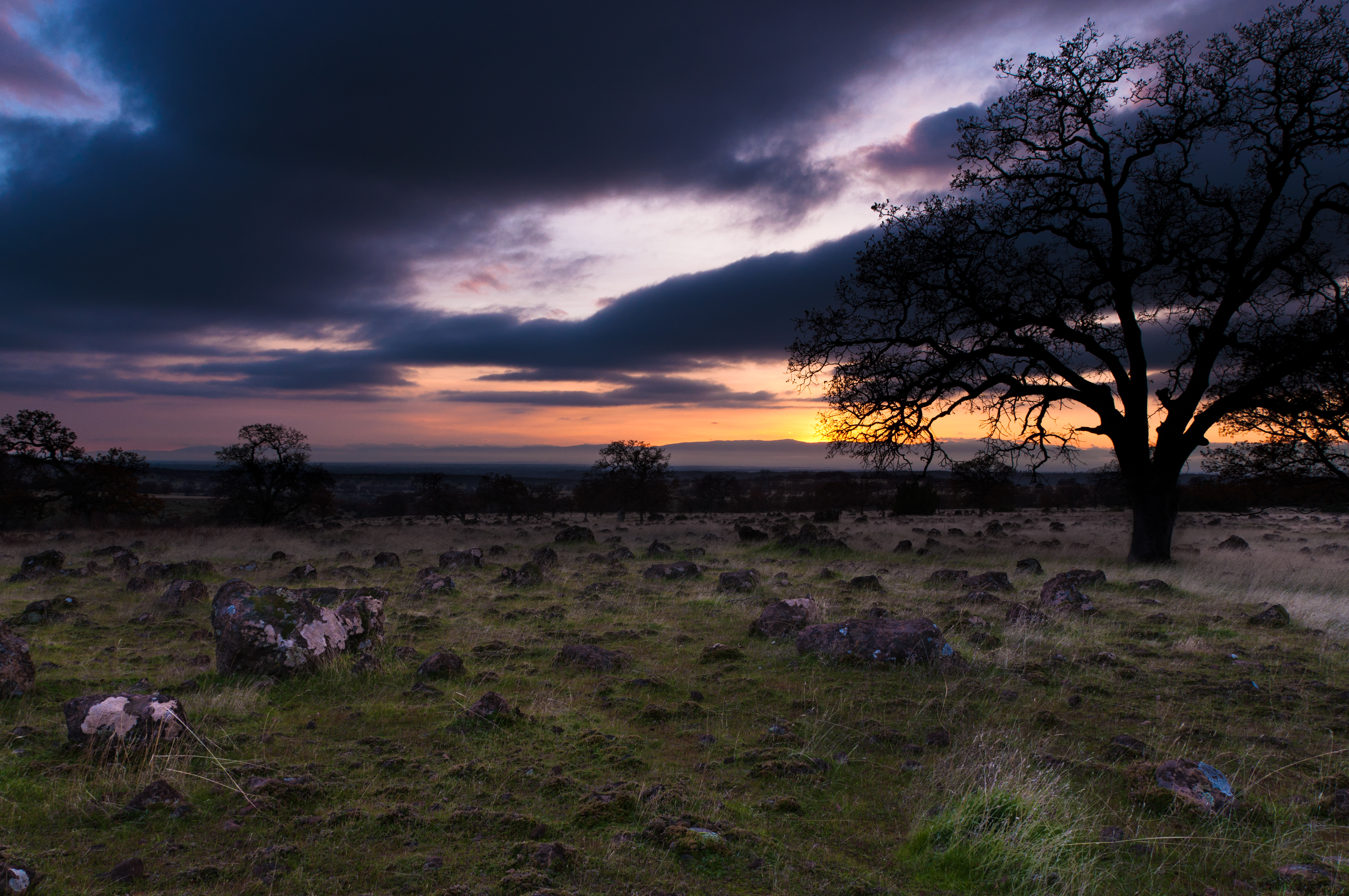
Autumn Oaks (Potpourri)

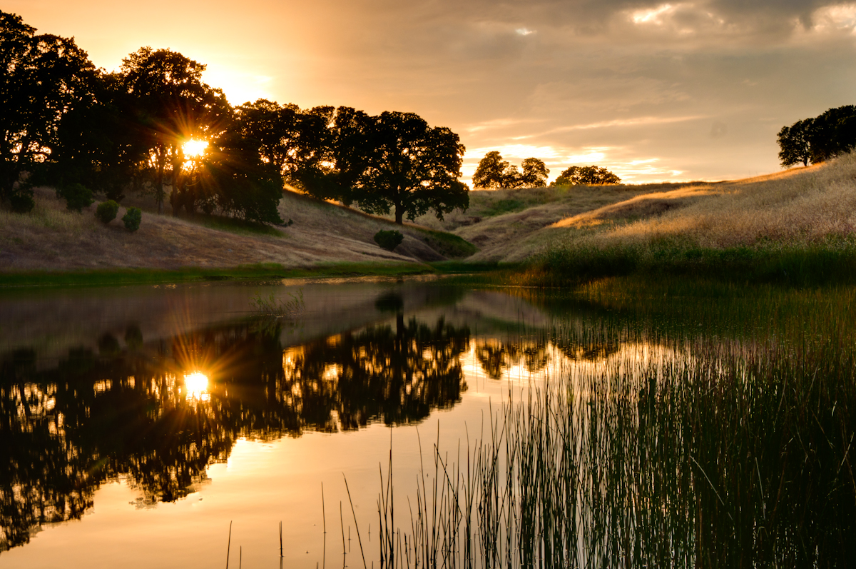
Coyote Pond - A New Breathe
A Buck Short

Lone.
Dinner Time!
Topographic Map of Gilmore Rd SPC 6, Red Bluff, CA, USA
Find elevation by address:

Places near Gilmore Rd SPC 6, Red Bluff, CA, USA:
22048 Grove Cir
Villa Columbia
855 Lakeside Dr
Red Bluff
1125 Aloha St
910 Hasvold Dr
1435 Aloha St
1720 Douglass St
Via Del Roble
13301 Baker Rd
21310 Wilcox Rd
Middletree Ranch Road
State Hwy 99w, Red Bluff, CA, USA
14900 Mccoy Rd
Brent Rd, Red Bluff, CA, USA
15965 E Wallen Rd
Bend
22495 Vía Pasado
Red Bluff
Tehama County
Recent Searches:
- Elevation of W Granada St, Tampa, FL, USA
- Elevation of Pykes Down, Ivybridge PL21 0BY, UK
- Elevation of Jalan Senandin, Lutong, Miri, Sarawak, Malaysia
- Elevation of Bilohirs'k
- Elevation of 30 Oak Lawn Dr, Barkhamsted, CT, USA
- Elevation of Luther Road, Luther Rd, Auburn, CA, USA
- Elevation of Unnamed Road, Respublika Severnaya Osetiya — Alaniya, Russia
- Elevation of Verkhny Fiagdon, North Ossetia–Alania Republic, Russia
- Elevation of F. Viola Hiway, San Rafael, Bulacan, Philippines
- Elevation of Herbage Dr, Gulfport, MS, USA