Elevation of Lakeside Dr, Red Bluff, CA, USA
Location: United States > California > Tehama County > Red Bluff >
Longitude: -122.23263
Latitude: 40.1804162
Elevation: 82m / 269feet
Barometric Pressure: 100KPa
Elevation Map:
Satellite Map:
Related Photos:
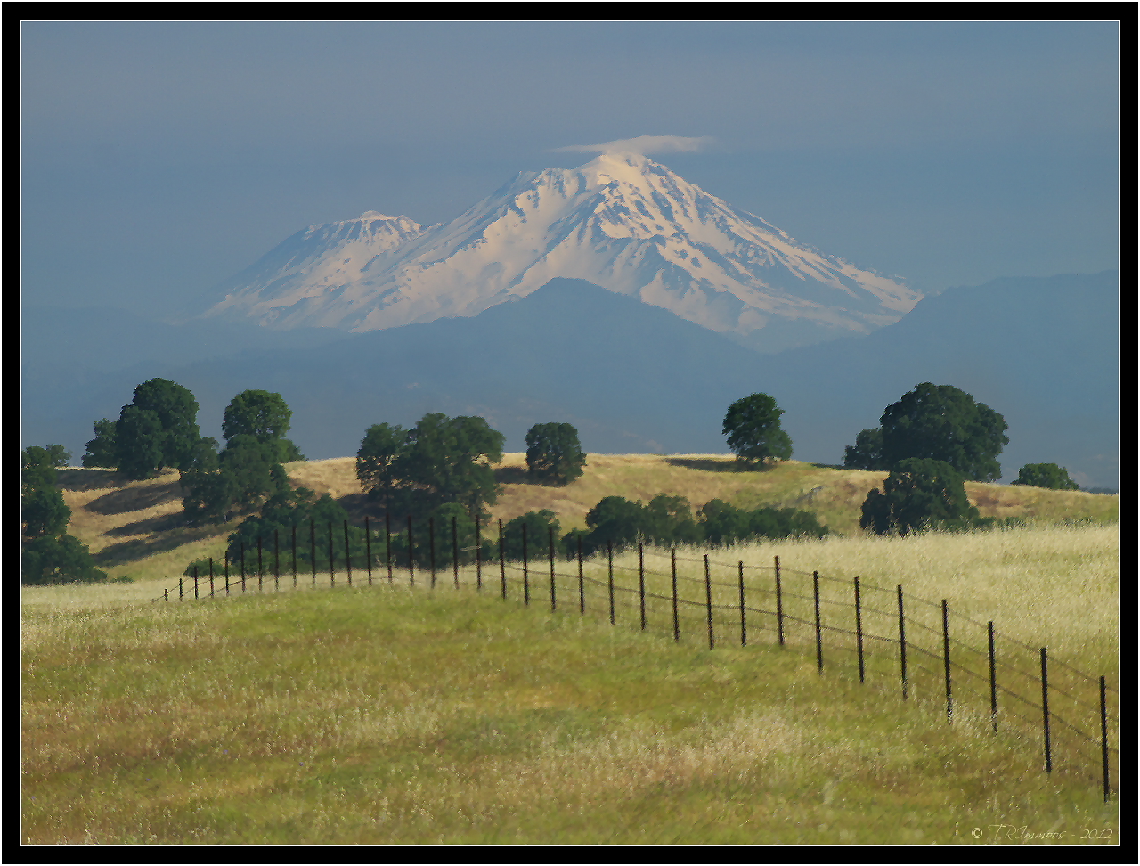
Mount Shasta - A Telephoto Landscape

1:4

Iron Canyon Loop

Stranger 3/100

Main and Walnut

Gingerbread Victorian
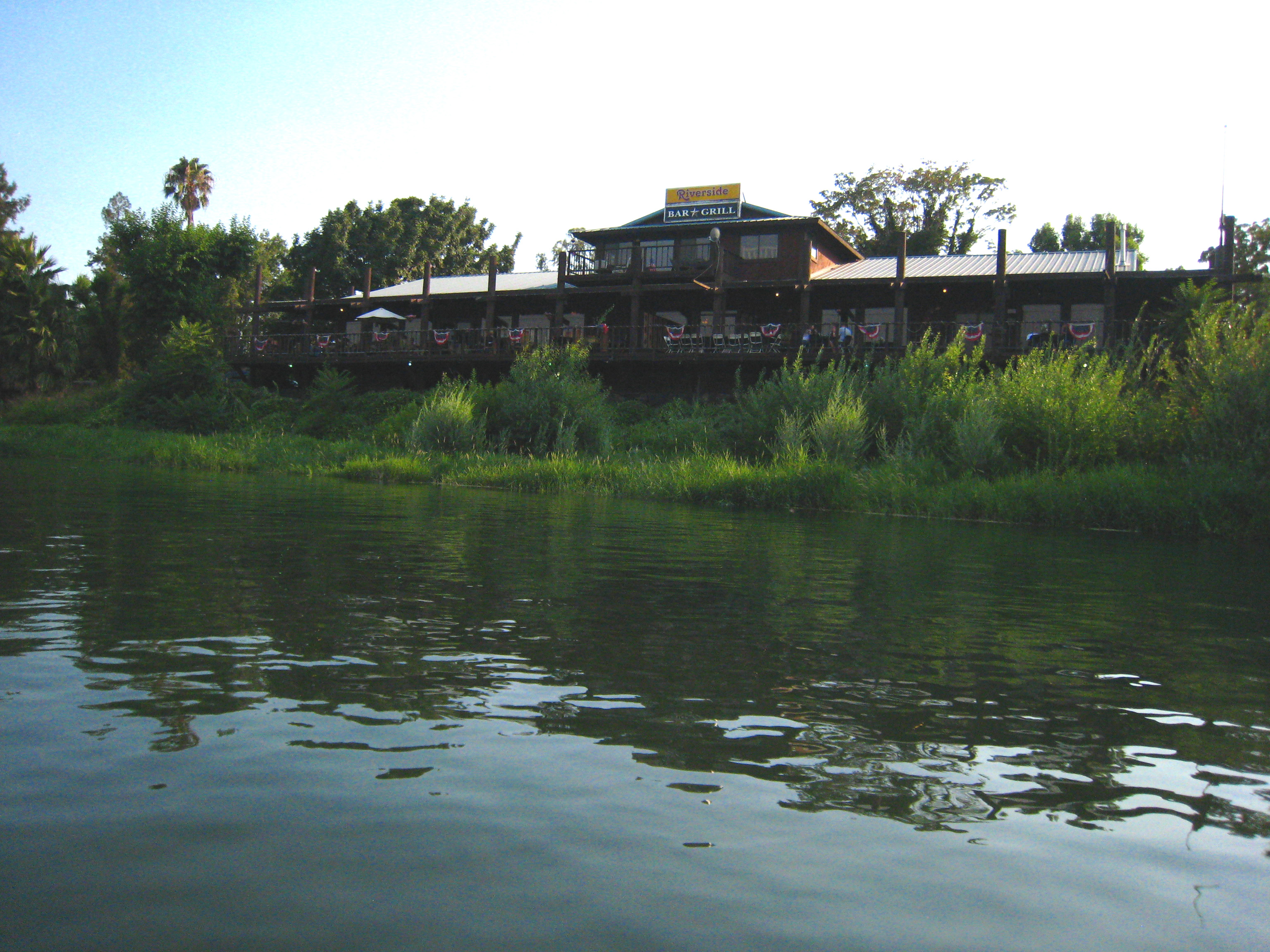
Riverside Bar and Grill

T.I.P. trailer near Red Bluff, California... 20160502_4170

Glass Eye photo show iPhone pano, Red Bluff CA
The View

Sacramento River (Livin' on the Edge)
Wait for it

Sacramento River (Dreaming in Vertical)
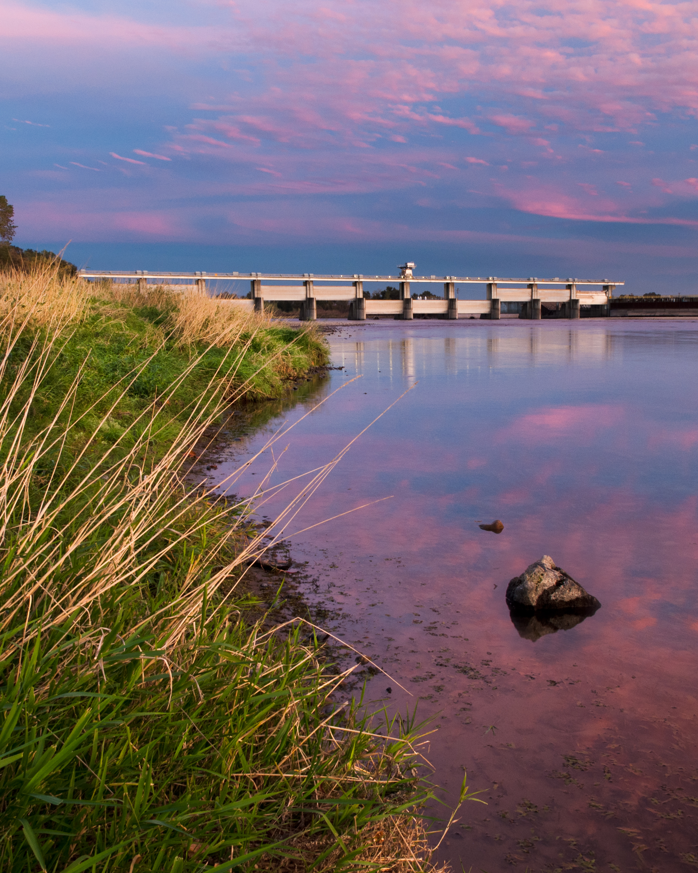
Red Bluff Diversion Dam

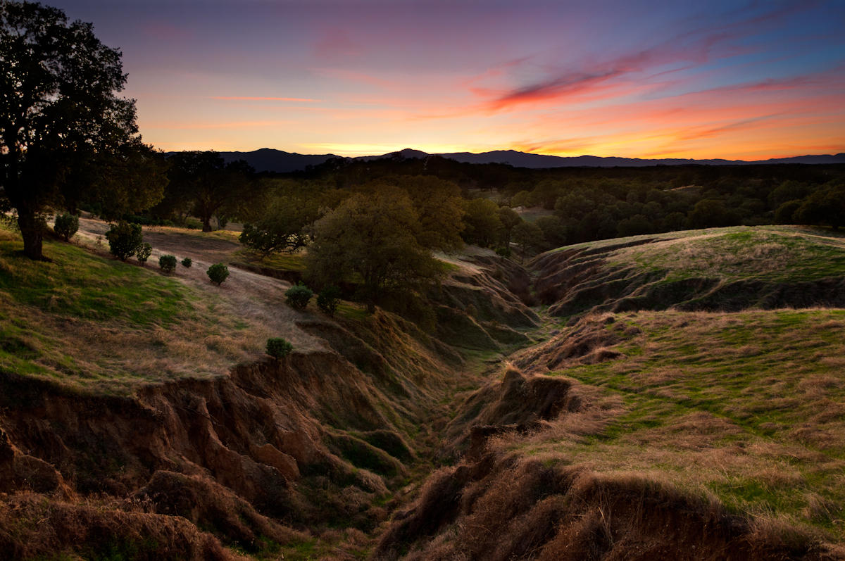
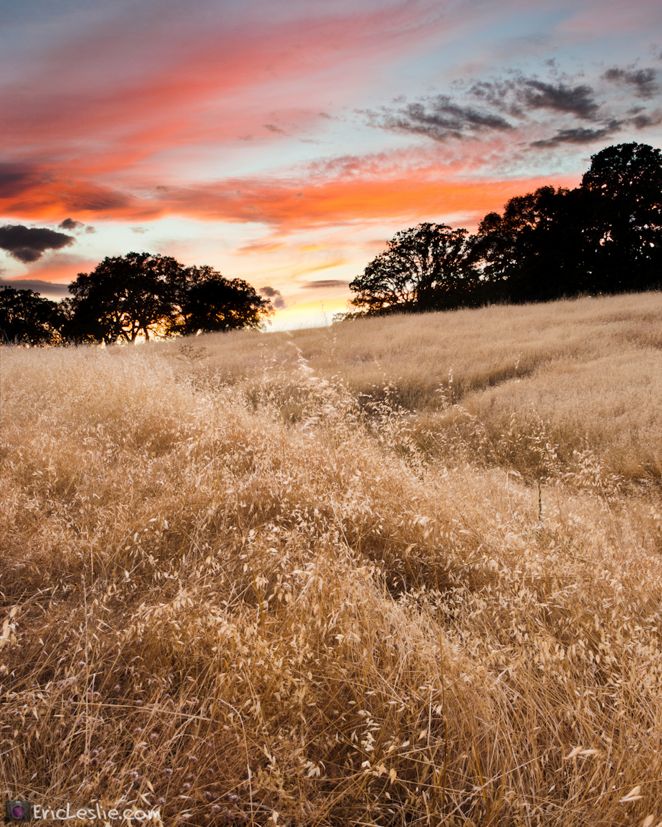
Red Bluff Sunset (Ive got a feeling)

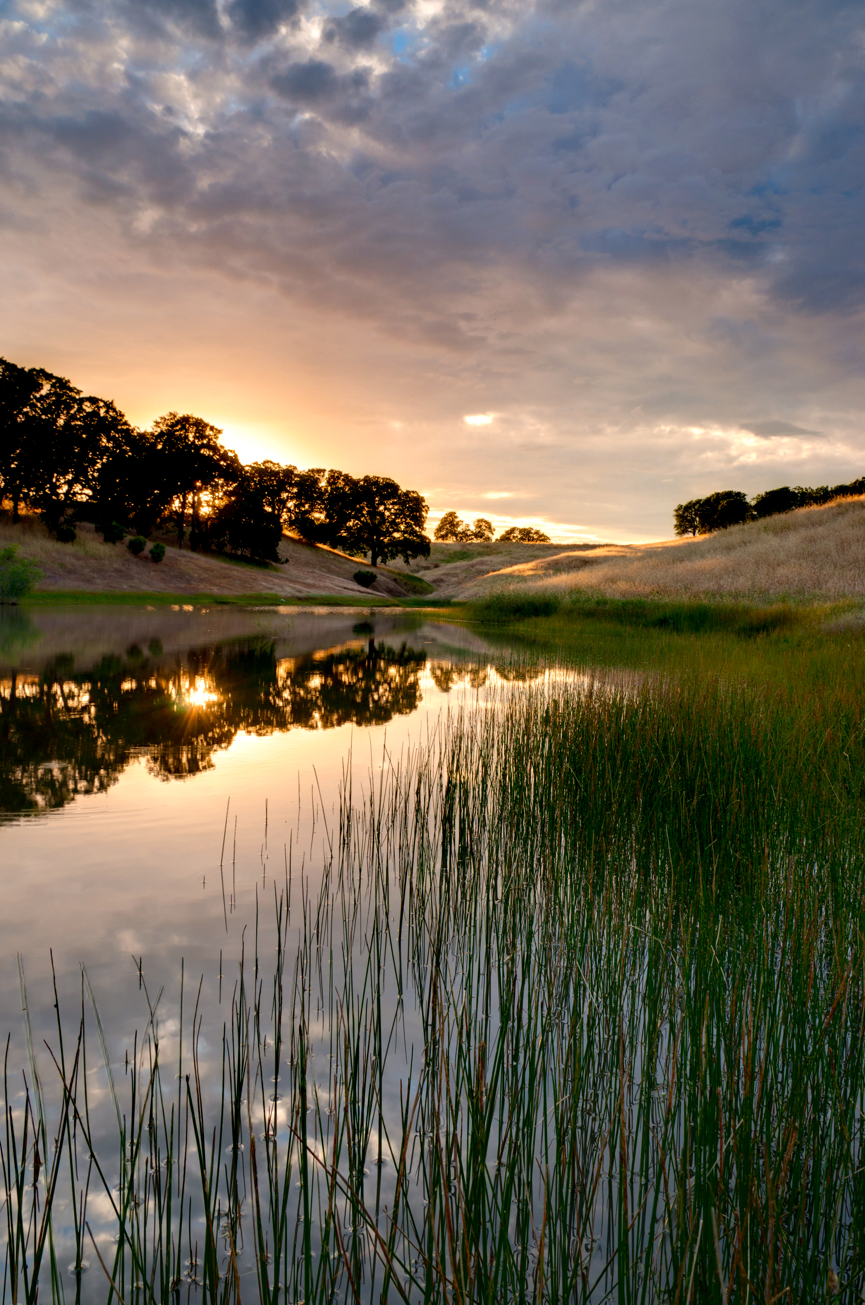
Lost Memory

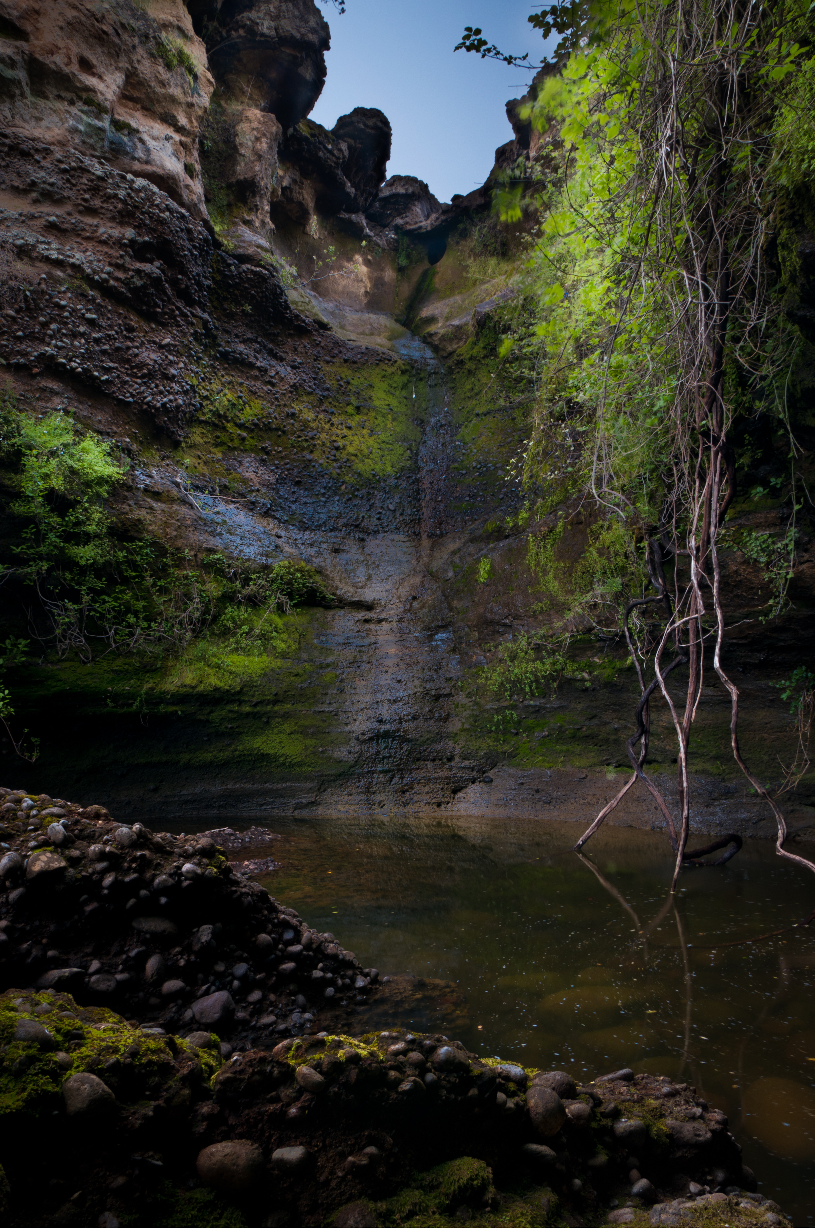
Turtle Creek Falls (To the Edge)
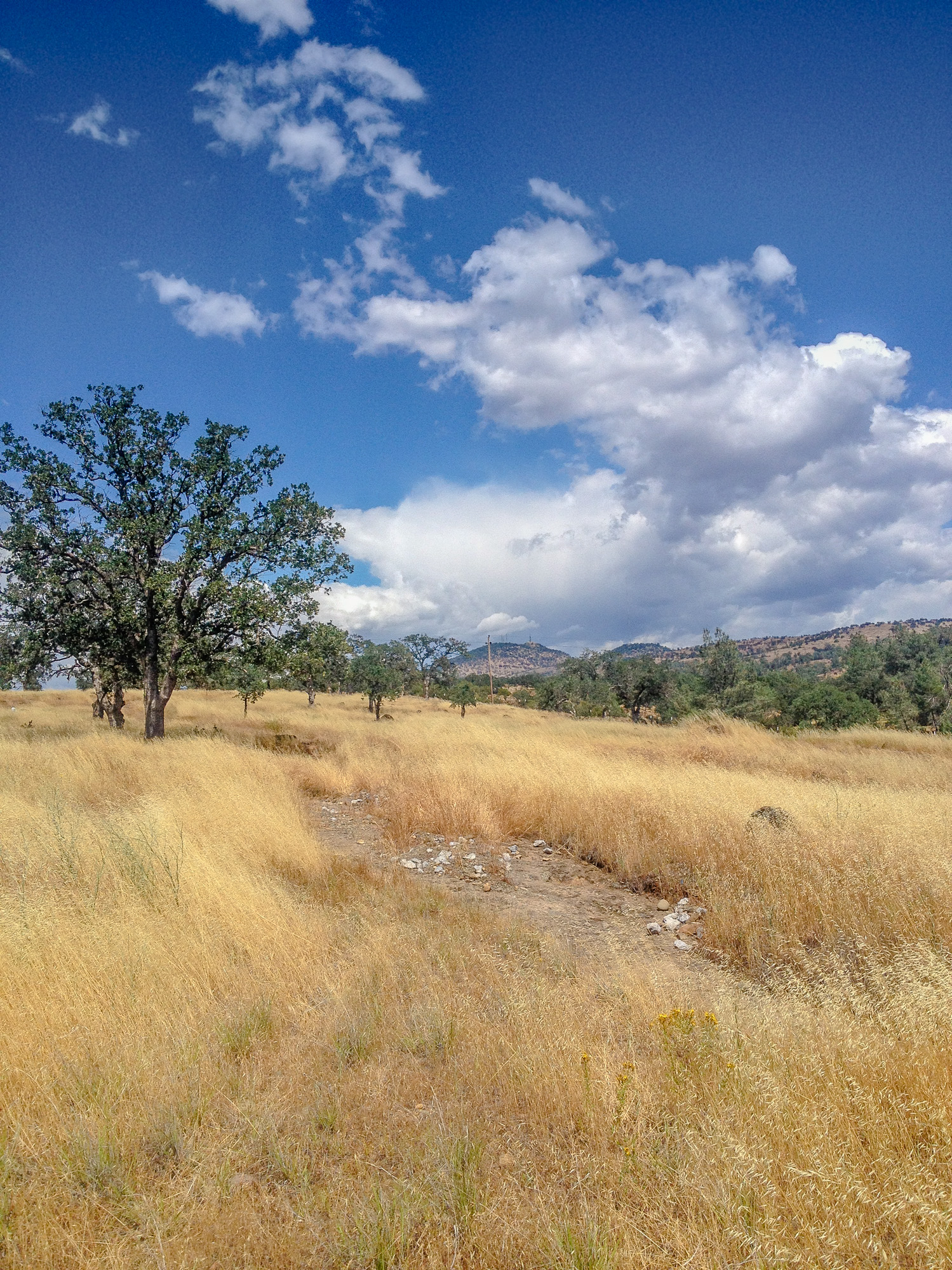
Alive on I-5, 4 :: #redbluff #california #highway36 #red #bluff #tree #field #beautiful #blue #sky #puffy #clouds #golden #landscape #day #vibrant #cloudscape

PIX-IMG_8820HDTV-Test-g

Sacramento River (His Glory)
The Minds Eye

Sacramento River (His Glory)
Date Night
A Buck Short

On the Road to Mt. Shasta
Growing Fonder

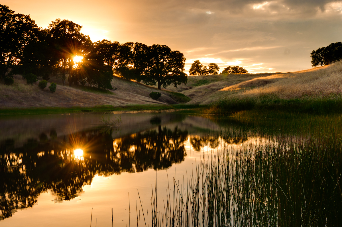
Coyote Pond - A New Breathe
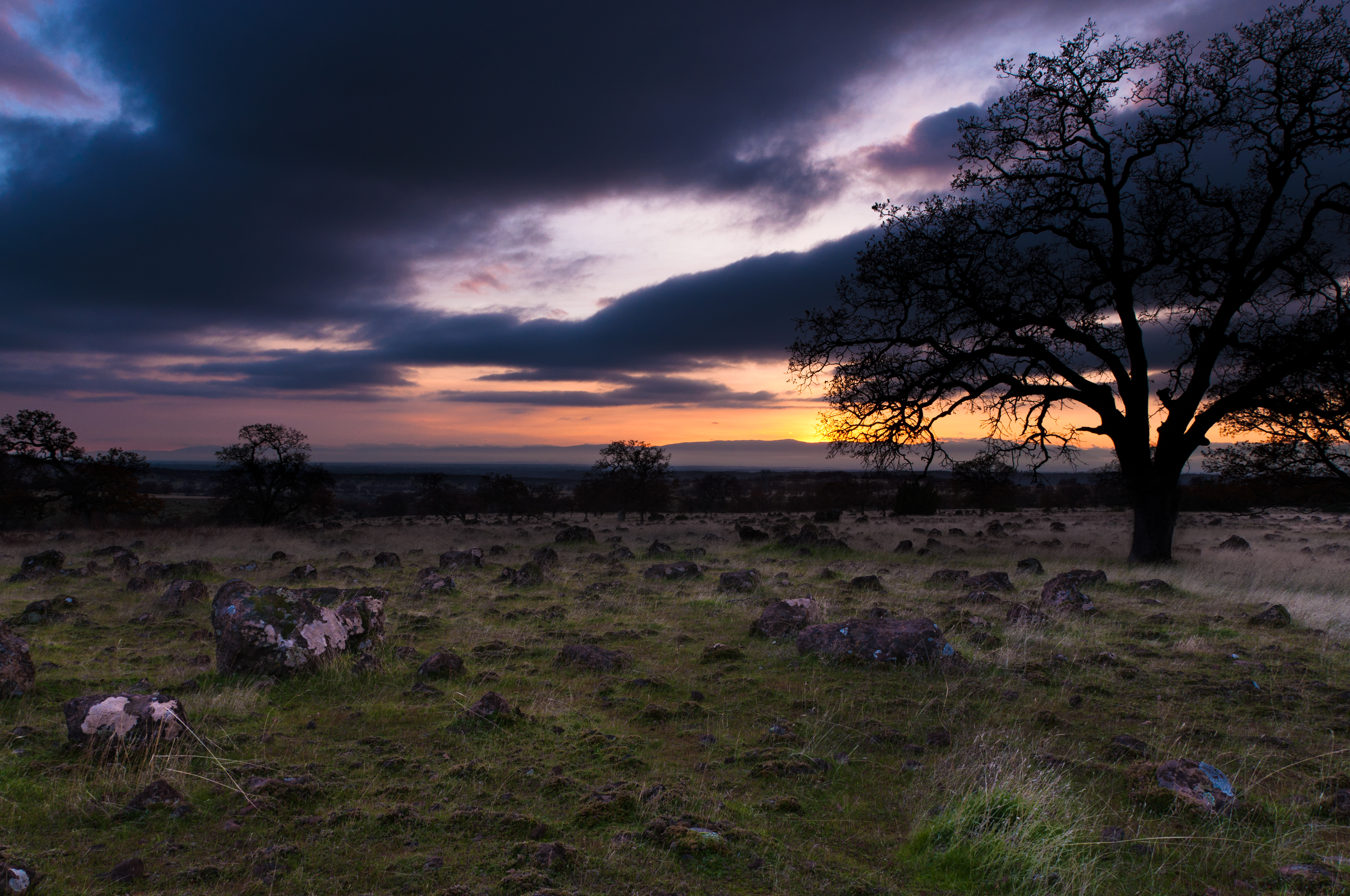
Sunsets forever

Lone.
Topographic Map of Lakeside Dr, Red Bluff, CA, USA
Find elevation by address:

Places near Lakeside Dr, Red Bluff, CA, USA:
Red Bluff
Villa Columbia
350 Gilmore Rd Spc 6
22048 Grove Cir
1125 Aloha St
1435 Aloha St
1720 Douglass St
910 Hasvold Dr
Via Del Roble
13301 Baker Rd
21310 Wilcox Rd
Middletree Ranch Road
14900 Mccoy Rd
State Hwy 99w, Red Bluff, CA, USA
Brent Rd, Red Bluff, CA, USA
15965 E Wallen Rd
Bend
22495 Vía Pasado
Penner Drive
Red Bluff
Recent Searches:
- Elevation of Gateway Blvd SE, Canton, OH, USA
- Elevation of East W.T. Harris Boulevard, E W.T. Harris Blvd, Charlotte, NC, USA
- Elevation of West Sugar Creek, Charlotte, NC, USA
- Elevation of Wayland, NY, USA
- Elevation of Steadfast Ct, Daphne, AL, USA
- Elevation of Lagasgasan, X+CQH, Tiaong, Quezon, Philippines
- Elevation of Rojo Ct, Atascadero, CA, USA
- Elevation of Flagstaff Drive, Flagstaff Dr, North Carolina, USA
- Elevation of Avery Ln, Lakeland, FL, USA
- Elevation of Woolwine, VA, USA