Elevation of Gerber, CA, USA
Location: United States > California > Tehama County >
Longitude: -122.15026
Latitude: 40.0562678
Elevation: 70m / 230feet
Barometric Pressure: 100KPa
Elevation Map:
Satellite Map:
Related Photos:

Double Take (State Theater Red Bluff)
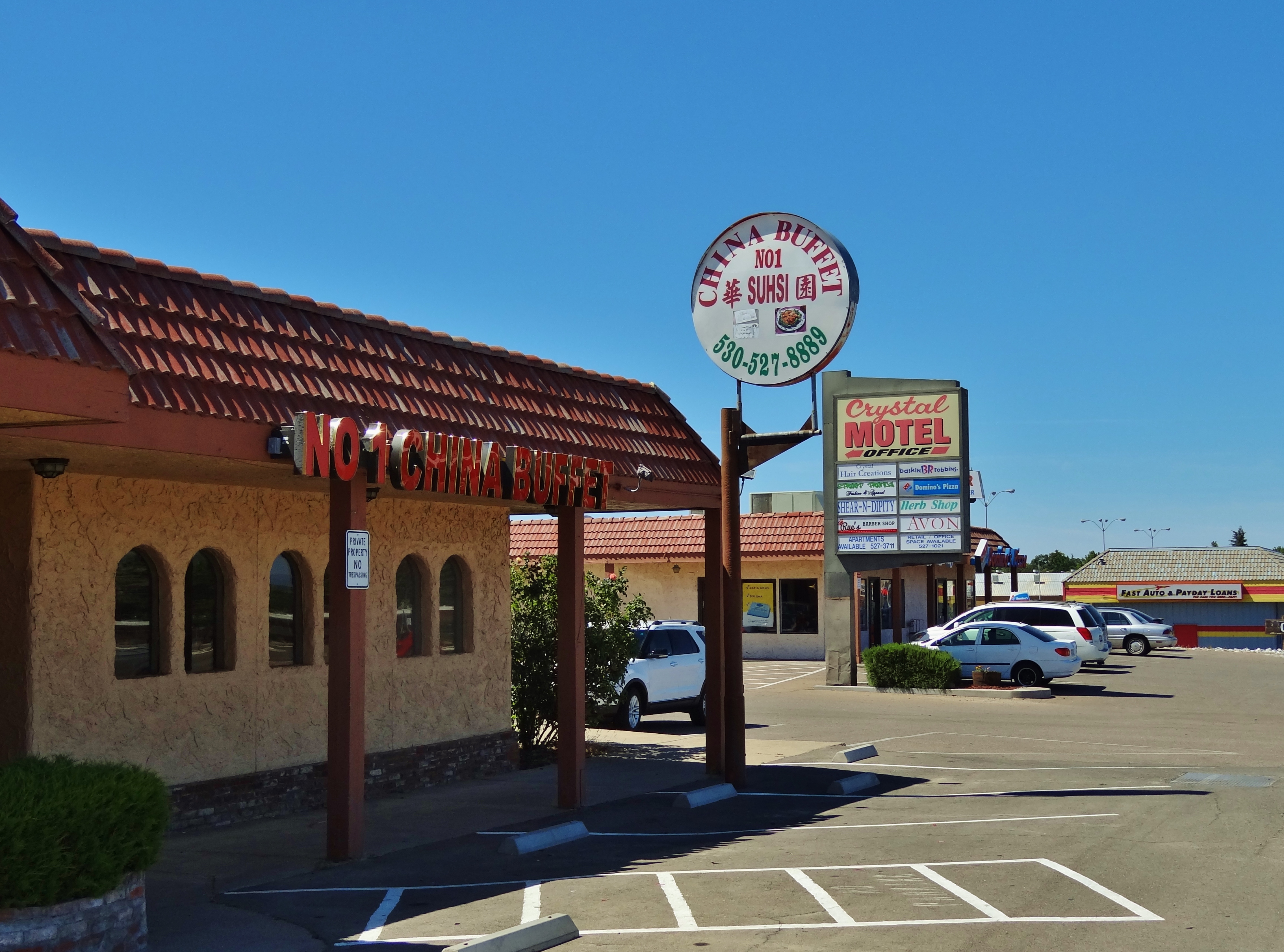
No 1 Chinese Buffet

Stranger 3/100

Gingerbread Victorian

Main and Walnut
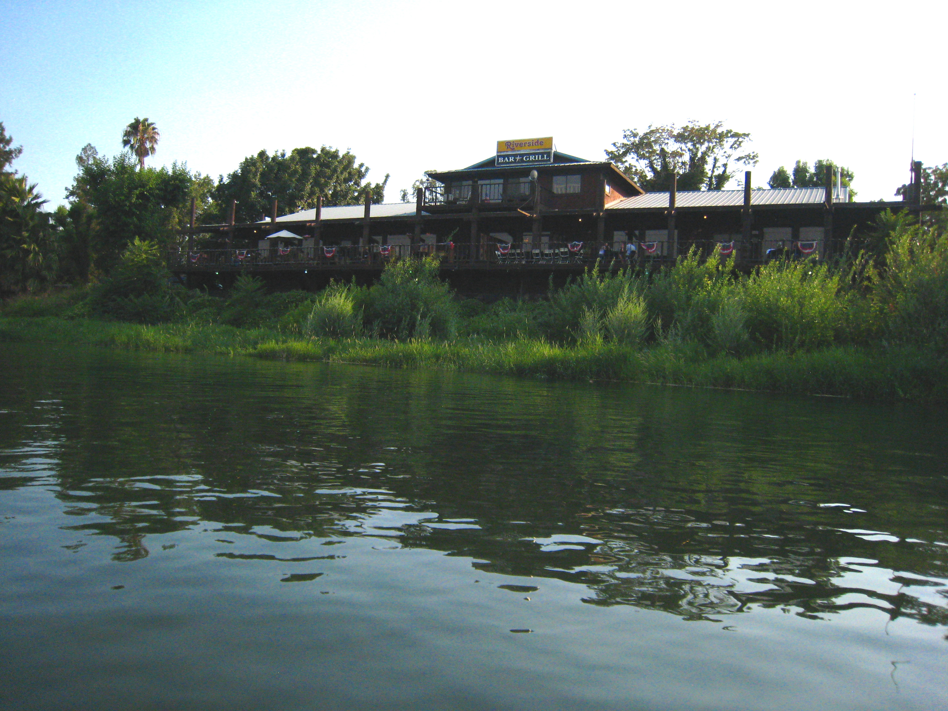
Riverside Bar and Grill

Glass Eye photo show iPhone pano, Red Bluff CA

T.I.P. trailer near Red Bluff, California

1:4
Corning CA.

Corning CA.
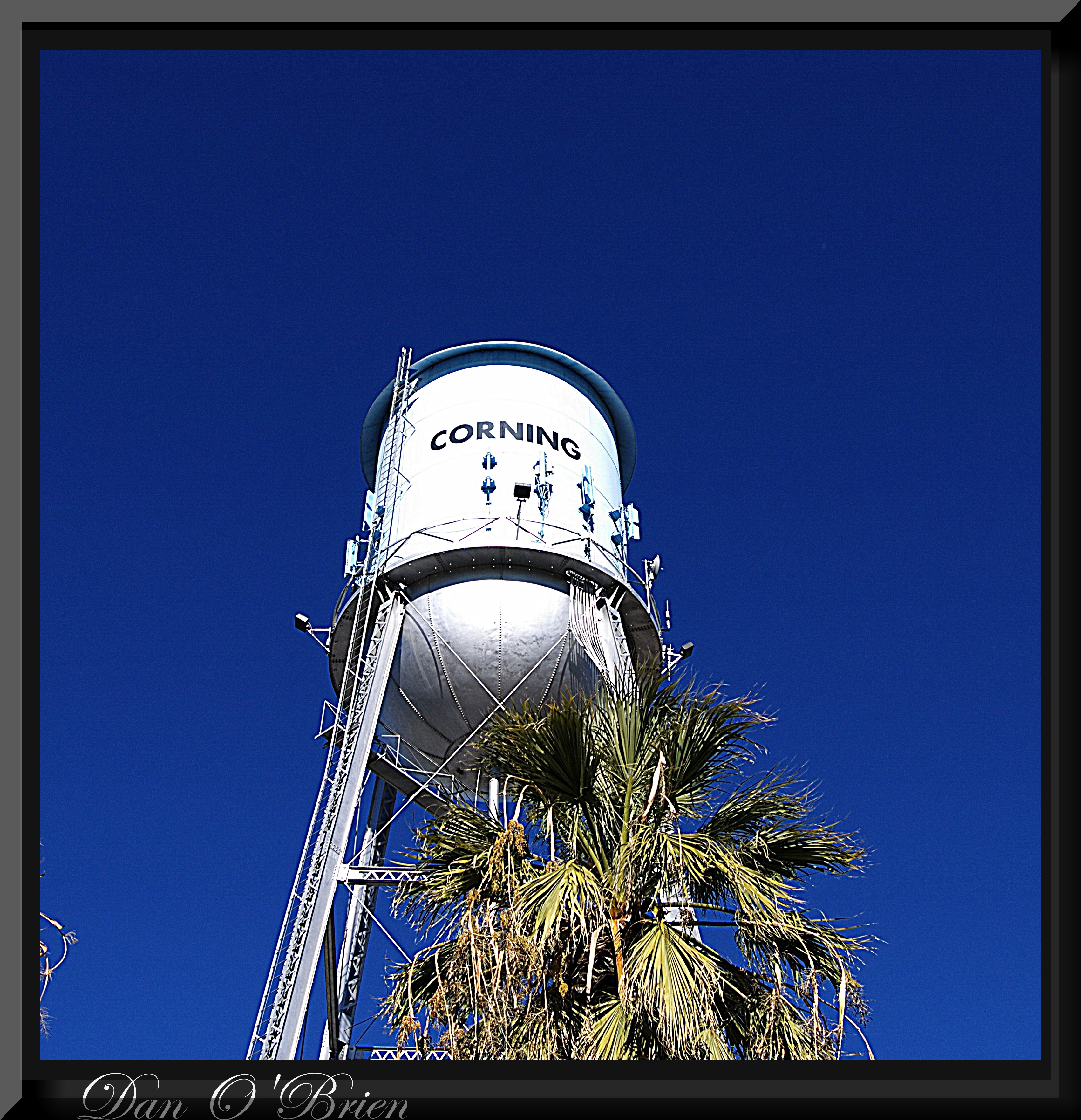
Corning CA.
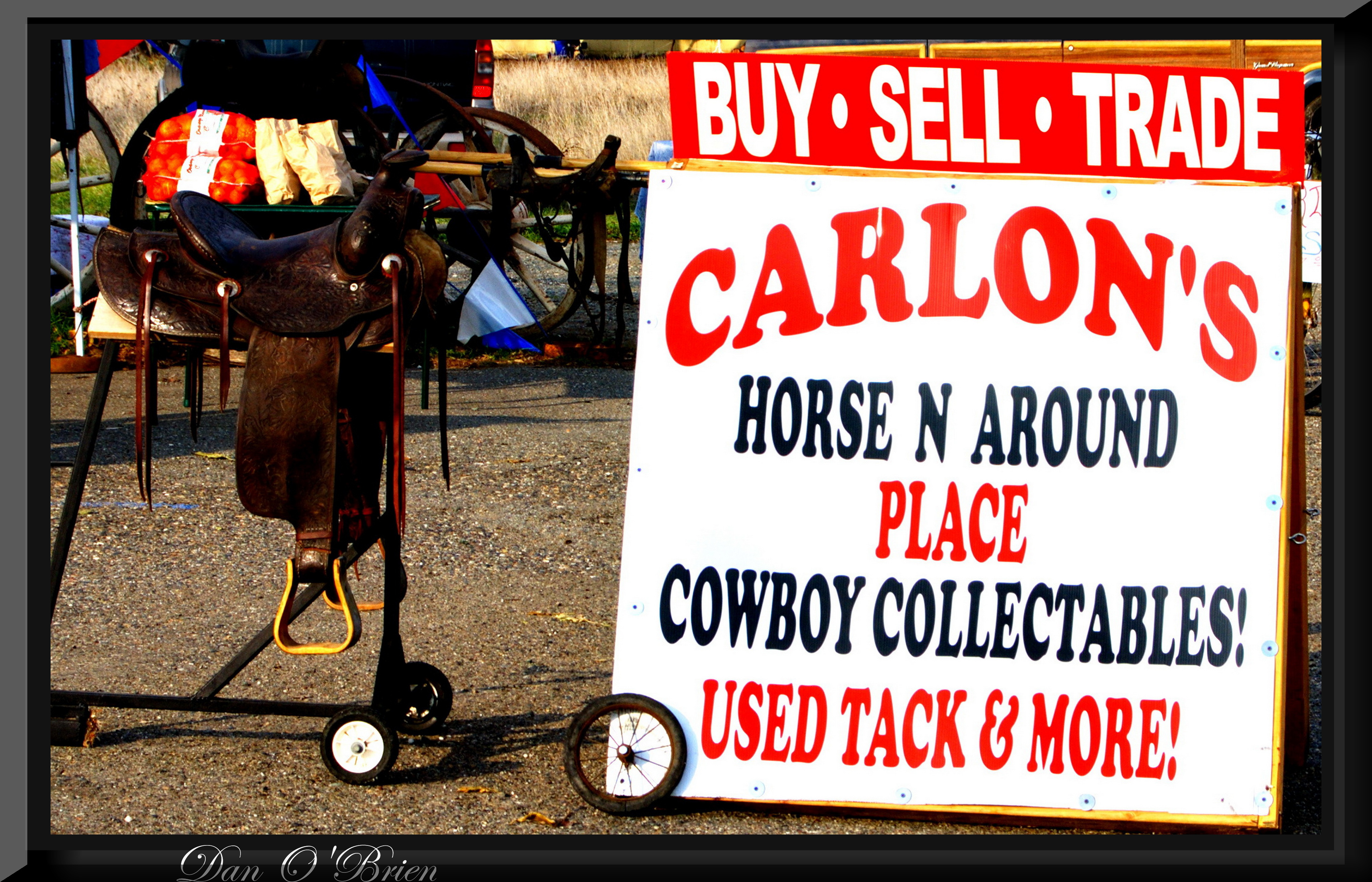
Cowboy collectable's
Cowboy collectable's(1)

Corning CA.
Corning CA.

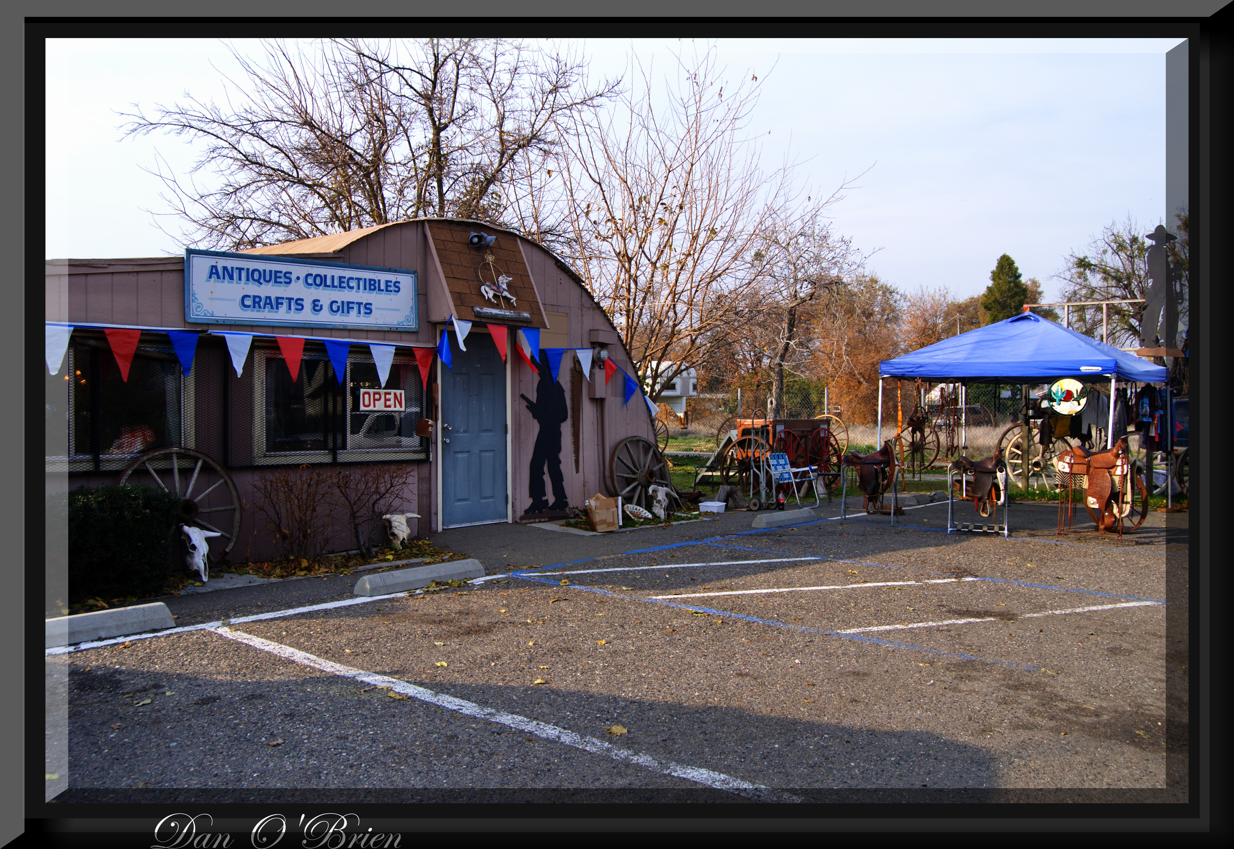
Carol's Browse Around(2)

Corning CA.
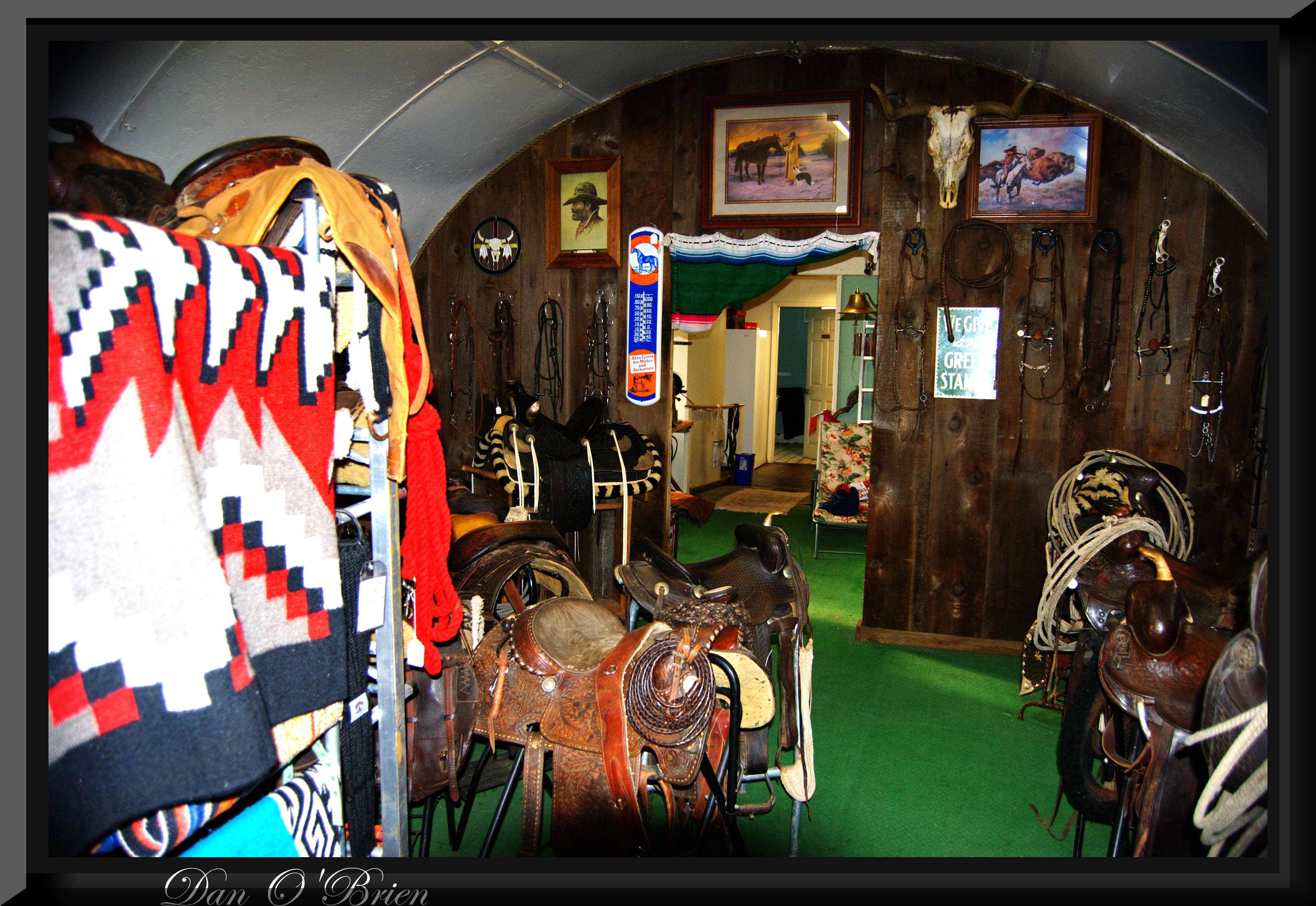
Cowboy collectable's(2)
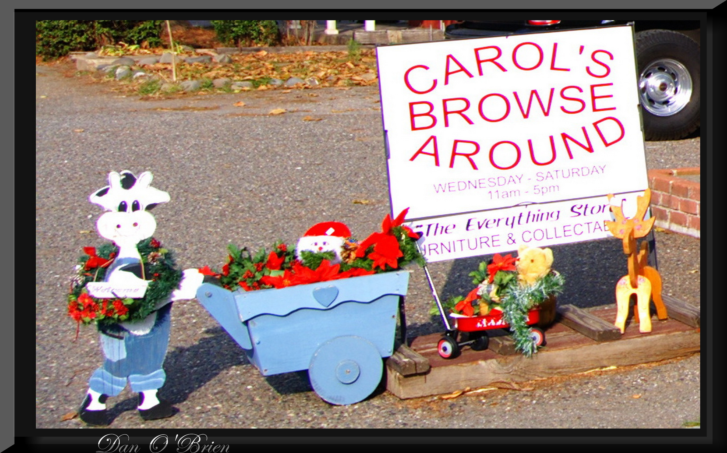
Carol's Browse Around
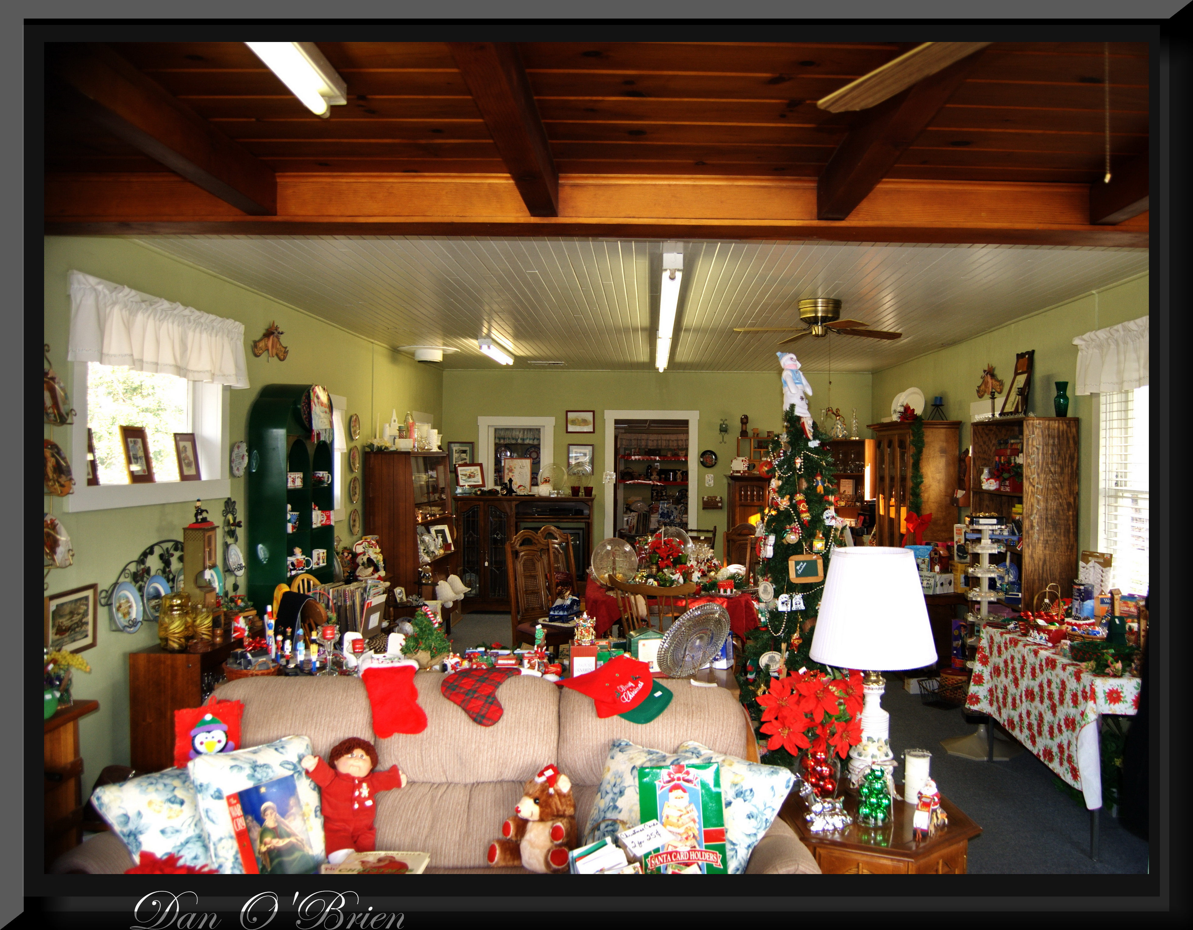
Carol's Browse Around(1)
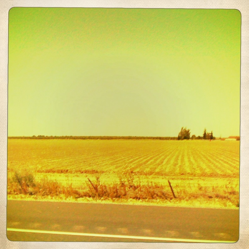
I-5
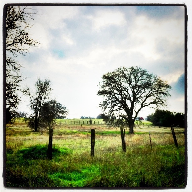
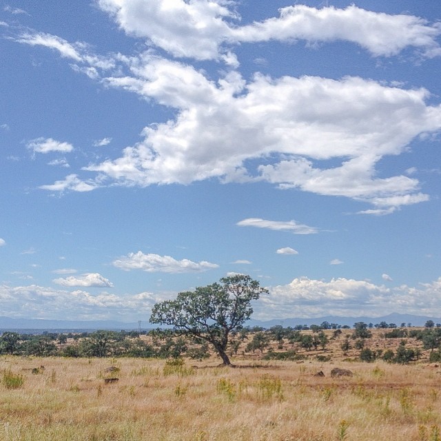
The Ranch

Almond Orchard Blossoms
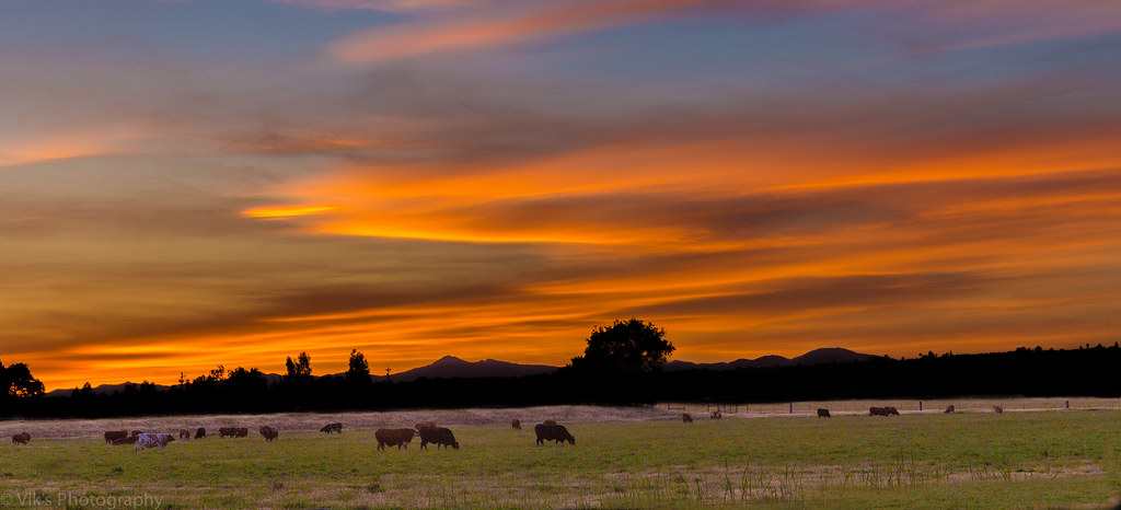
Dinner Time!
Flowing Clouds Above Still Plains :: #northern #california #red #bluff #tehama #highway #36 #summer #beautiful #cloudscape #landscape #trees #shrubs #fields #grass #sharp #mountains #distance #amazing #blue #sky #clouds #iphoneonly #igers #instadaily
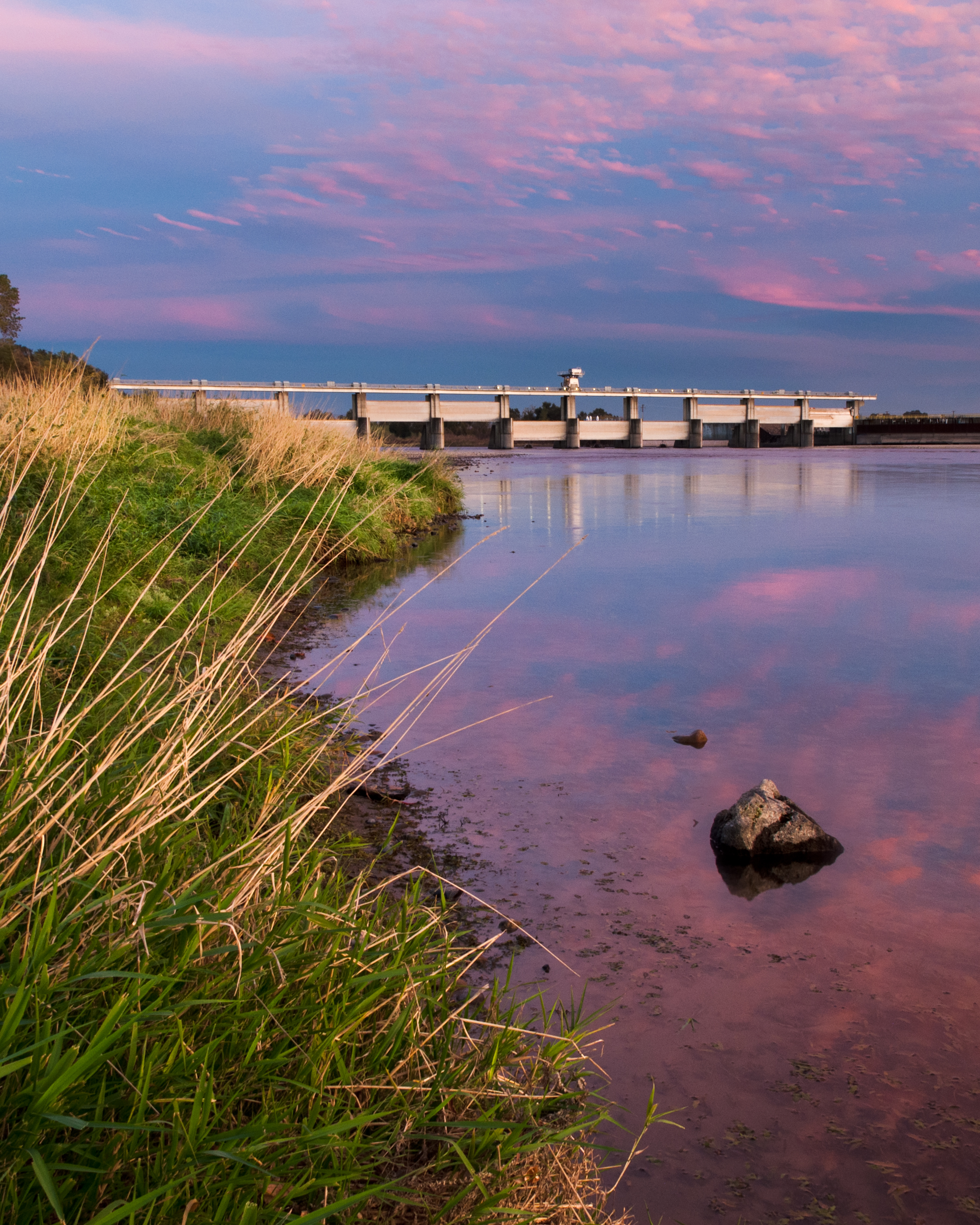
Red Bluff Diversion Dam
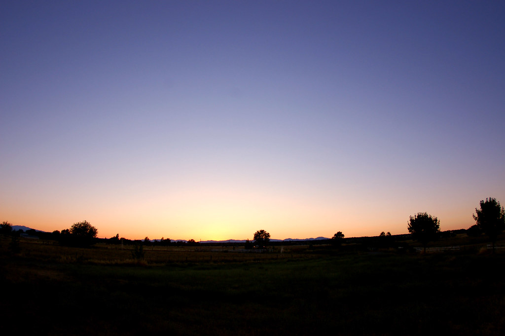
The 4th Sunset
2010_7.4---59.jpg

Common Buckeye
Dye Creek, CA
Dye Creek, CA
Dye Creek, CA
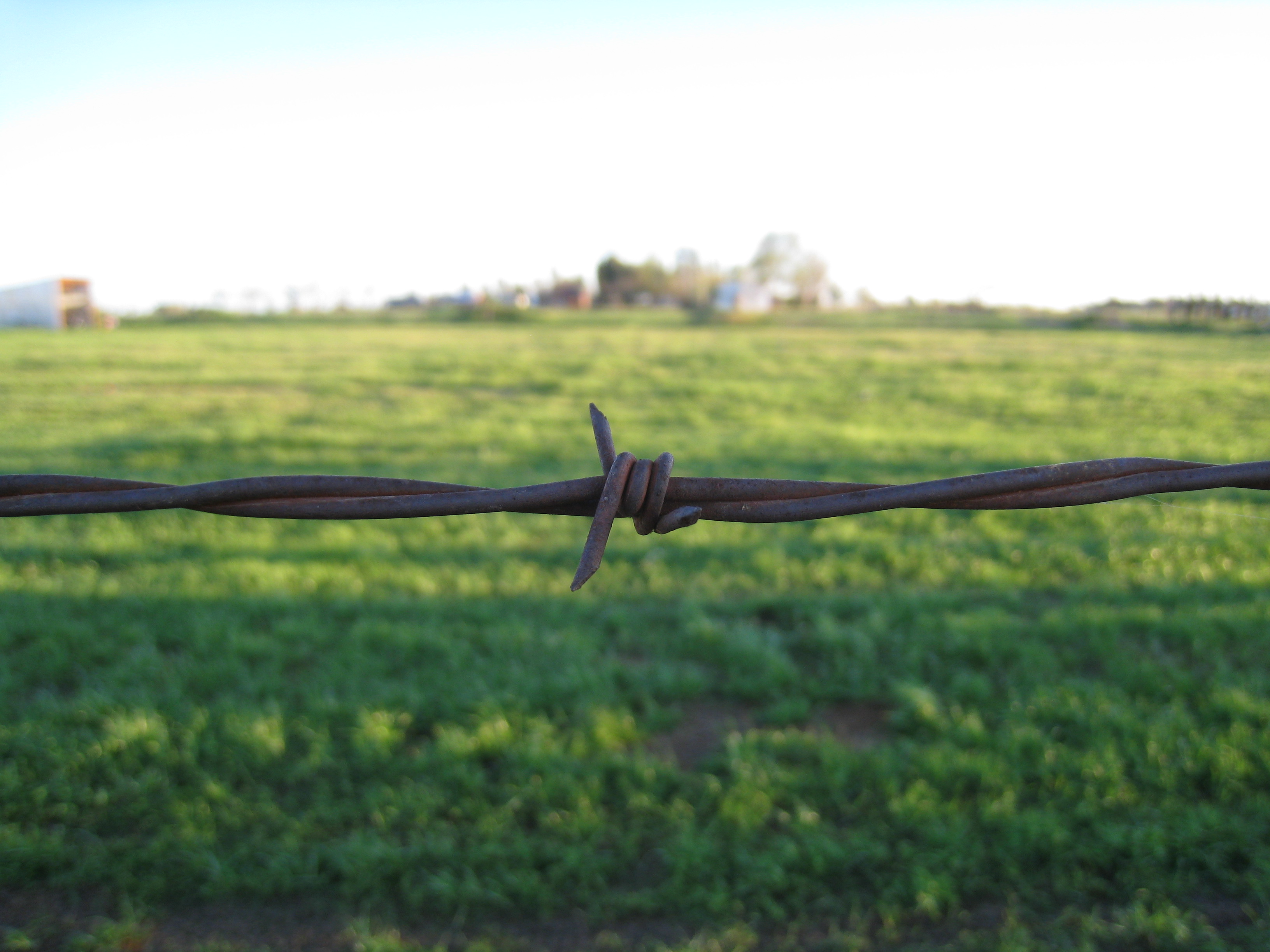
Barbed wire
Topographic Map of Gerber, CA, USA
Find elevation by address:

Places in Gerber, CA, USA:
Places near Gerber, CA, USA:
Ventura Ave, Gerber, CA, USA
Gerber-las Flores
1st St, Gerber, CA, USA
State Hwy 99w, Gerber, CA, USA
El Camino
Tehama
8791 Fox St
Los Molinos
7697 Sherwood Blvd
Richfield
7233 Amador Rd
Thomes Creek Rock Co
Los Molinos, CA, USA
4450 Corning Rd
4455 Corning Rd
Blethen Island
33370 Simpson Rd
5130 Orland Ave
Hoag Road
4455 Mary Ave
Recent Searches:
- Elevation of Bernina Dr, Lake Arrowhead, CA, USA
- Elevation of N 82nd Pl, Mesa, AZ, USA
- Elevation of Snake Hill Rd, North Scituate, RI, USA
- Elevation of Lake Shore Dr, Warwick, RI, USA
- Elevation of E Brightview Ave, Pittsburgh, PA, USA
- Elevation of Cavendish Rd, Harringay Ladder, London N4 1RR, UK
- Elevation of 1 Zion Park Blvd, Springdale, UT, USA
- Elevation of Ganderbal
- Elevation map of Konkan Division, Maharashtra, India
- Elevation of Netaji Nagar, Hallow Pul, Kurla, Mumbai, Maharashtra, India