Elevation of Frantz Drive, Frantz Dr, Red Bluff, CA, USA
Location: United States > California > Tehama County > Red Bluff >
Longitude: -122.26343
Latitude: 40.2818495
Elevation: 194m / 636feet
Barometric Pressure: 99KPa
Elevation Map:
Satellite Map:
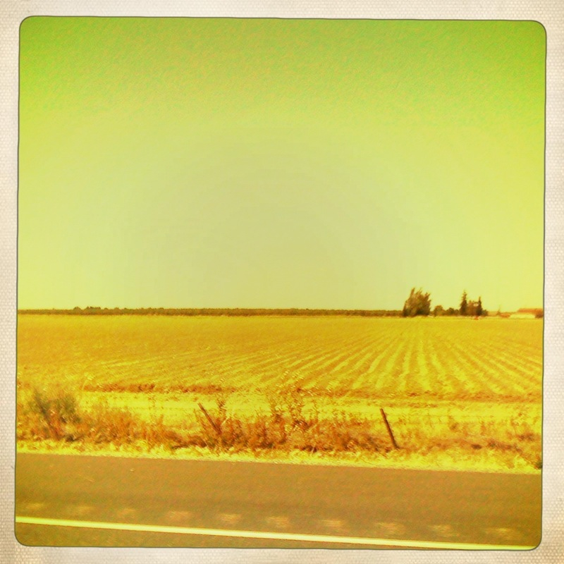
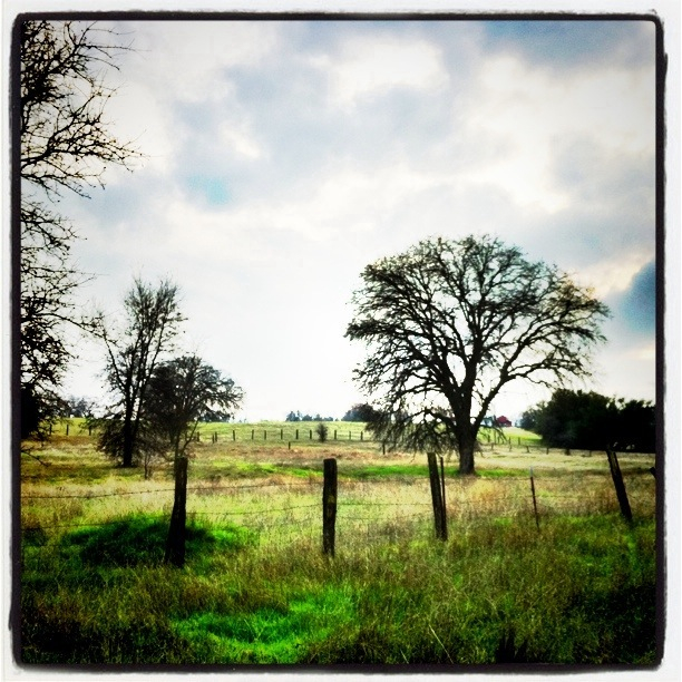
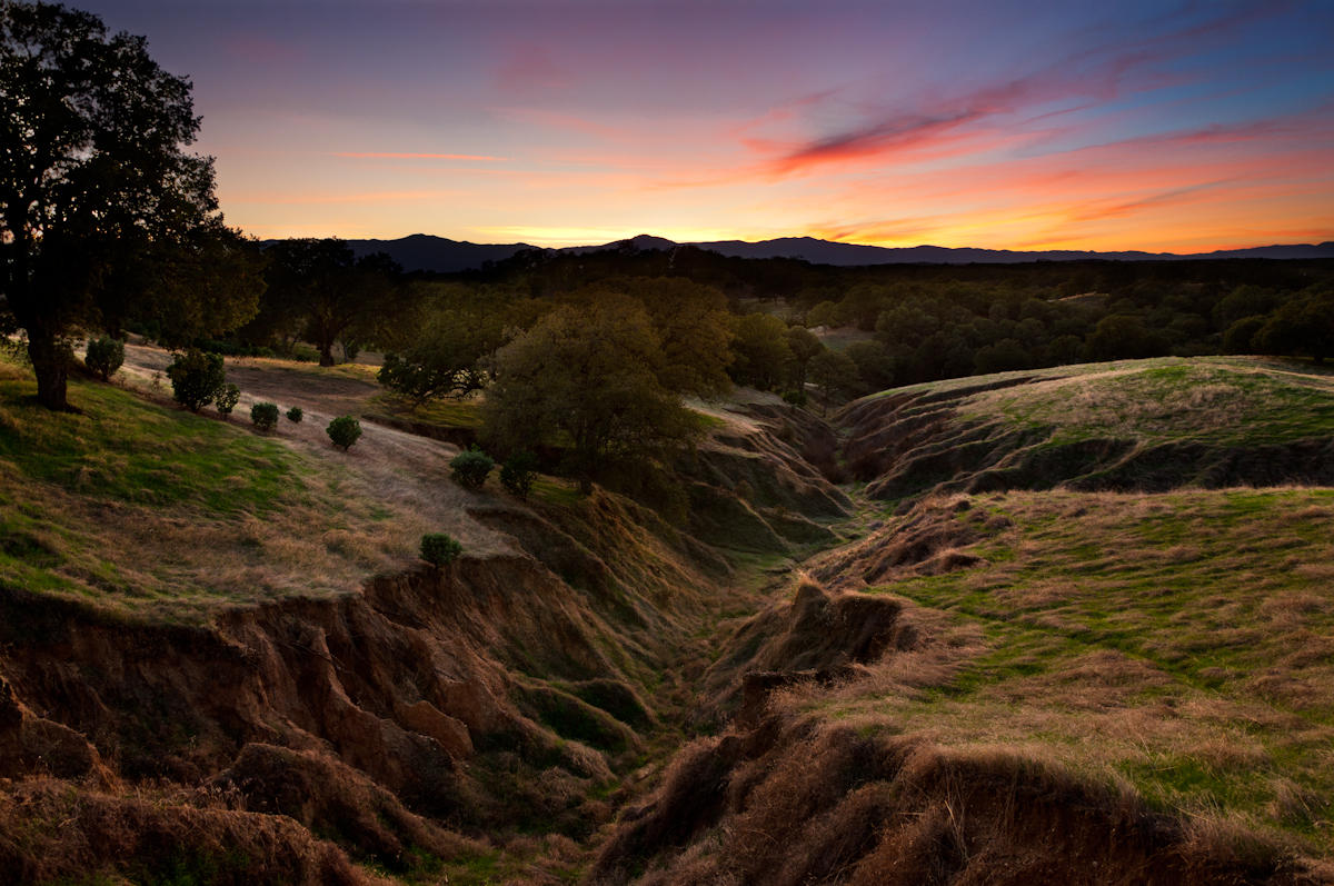
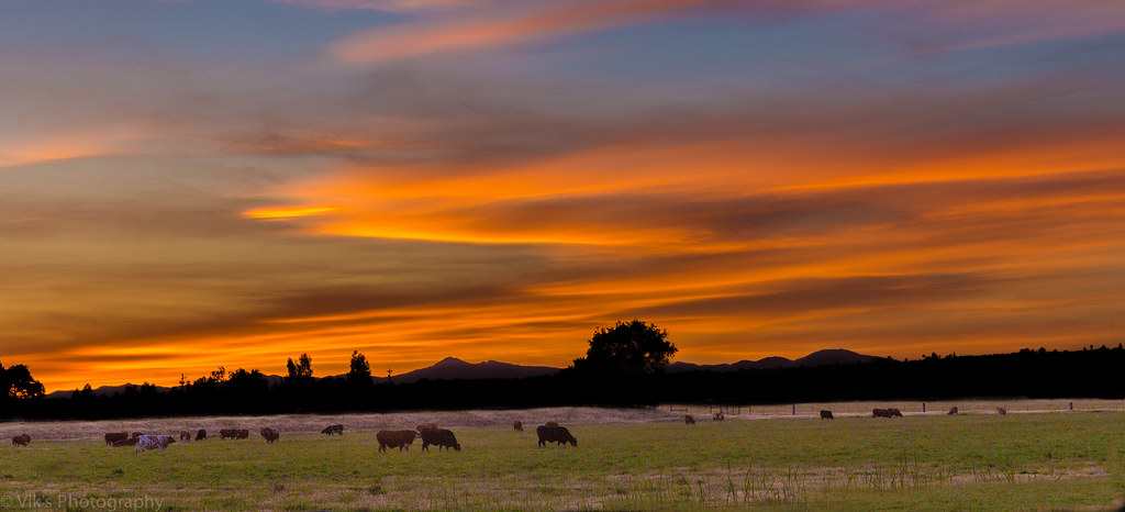
Related Photos:
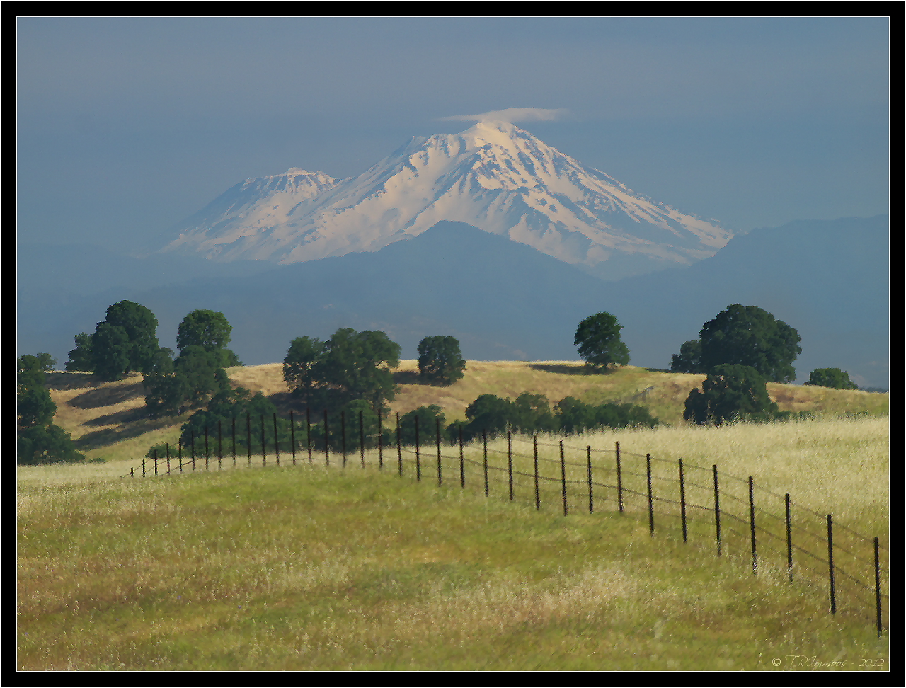
Mount Shasta - A Telephoto Landscape
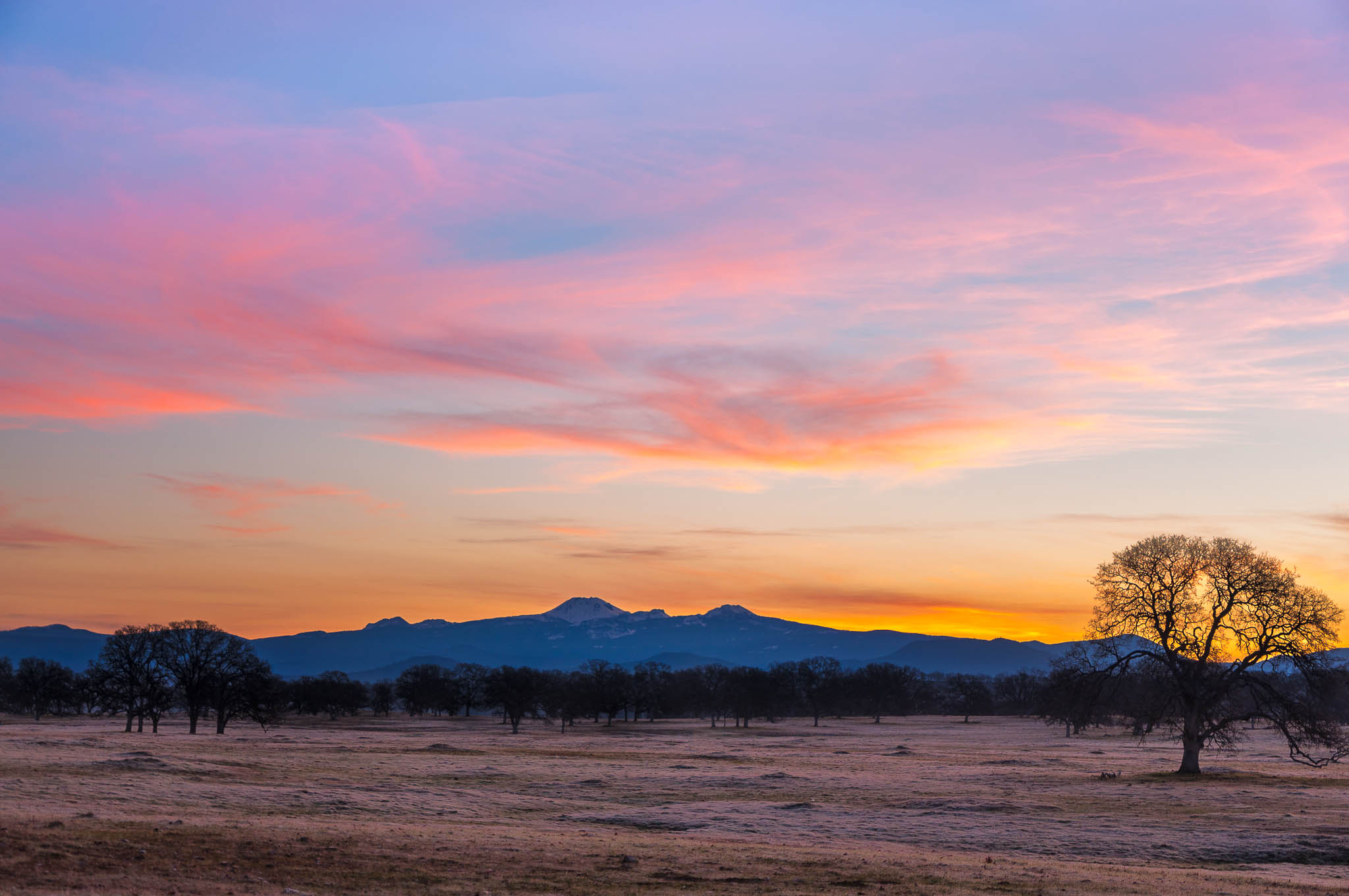
Oh yeah! (Mt. Lassen Sunrise)

Double Take (State Theater Red Bluff)

OZ (2)

View of mom's house as I left. #theknottyknitter

Together Again

Iron Canyon Loop
Strip [4]

View from my evening walk. #instacamp

Peace on the lake
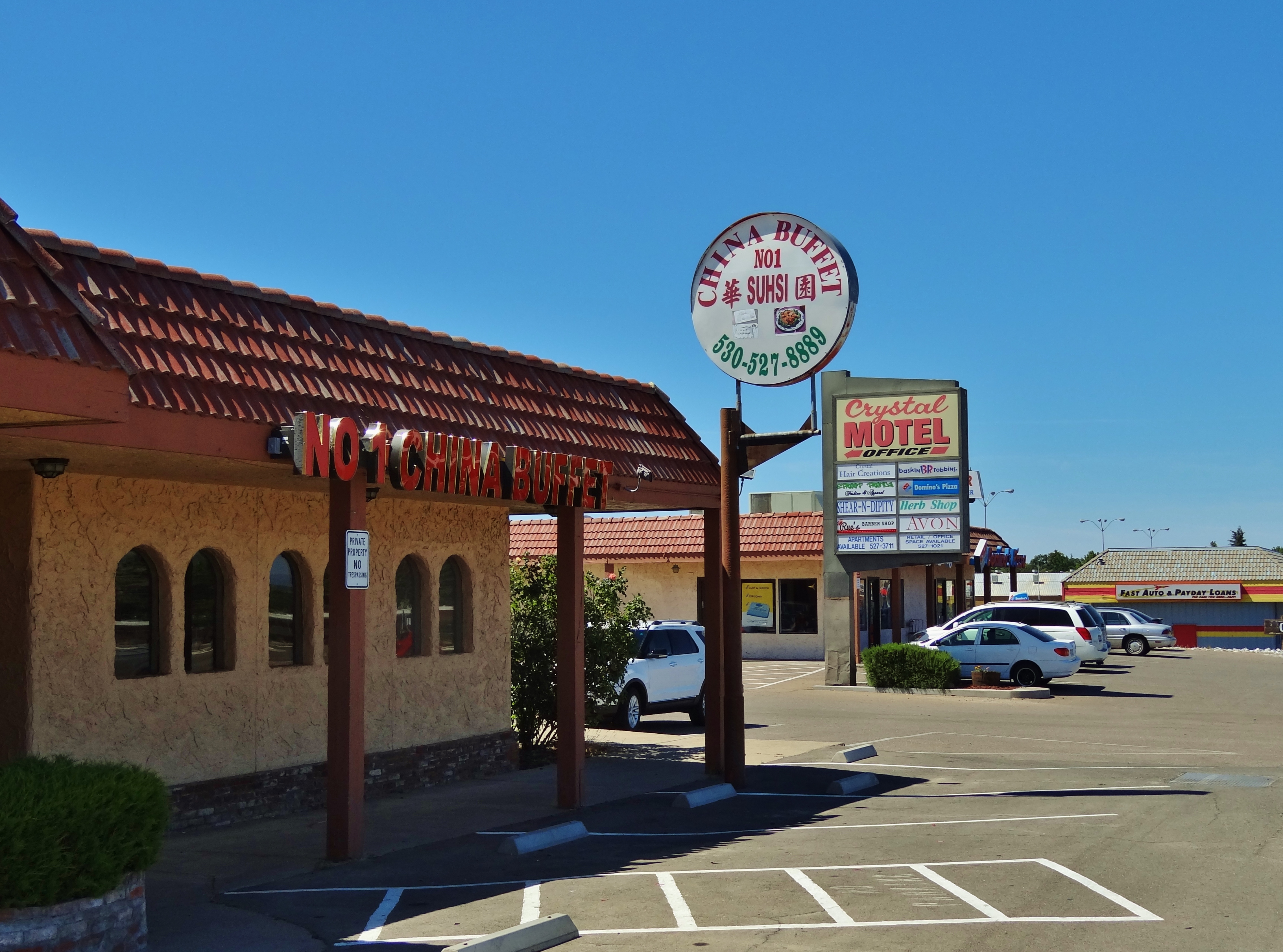
No 1 Chinese Buffet

Stranger 3/100

Bareback on Judd

Interstate 5 Northbound Tehama Valley Freeway approaching Exit 653 - Jells Ferry Road 1 mile with this roadside sign located at Tehama County - South Cottonwood, California. Wildlife Viewing, R.V. Camping and Boat Dock Unloading at the lake exit ahead.

Gingerbread Victorian

Main and Walnut
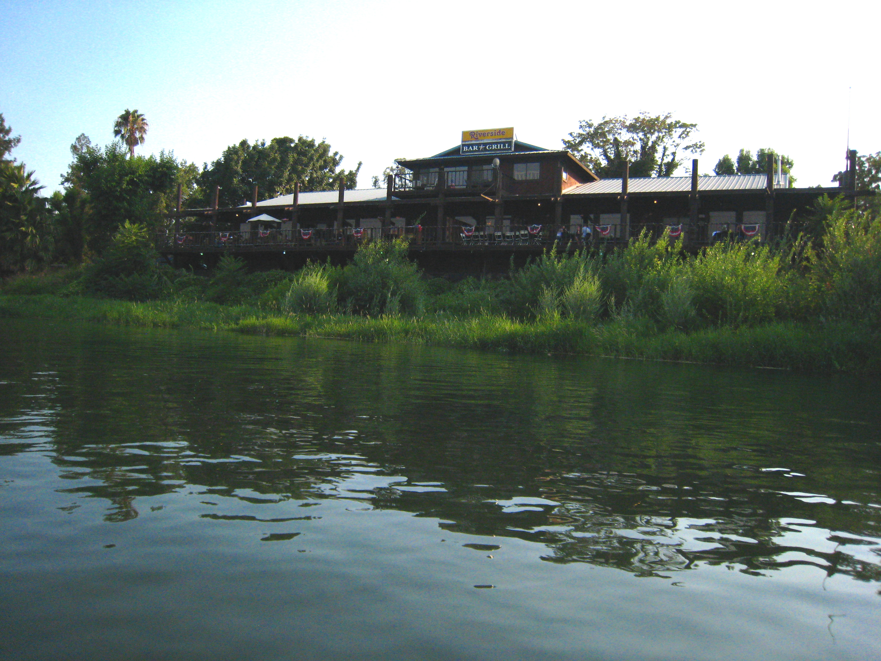
Riverside Bar and Grill
The View

Glass Eye photo show iPhone pano, Red Bluff CA

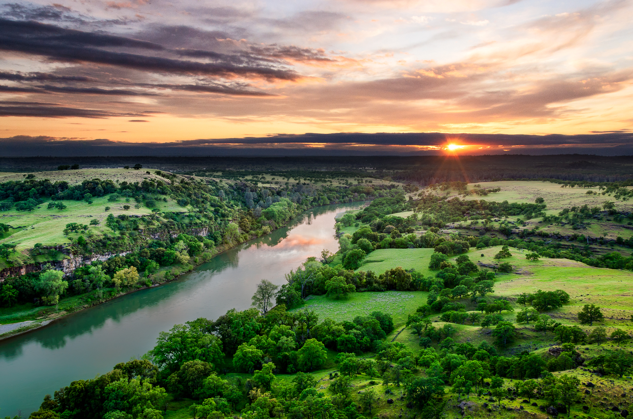
Sacramento River (Livin' on the Edge)
Sacramento River (His Glory)

PIX-IMG_8820HDTV-Test-g

Oaks of Gold
The Minds Eye
I-5

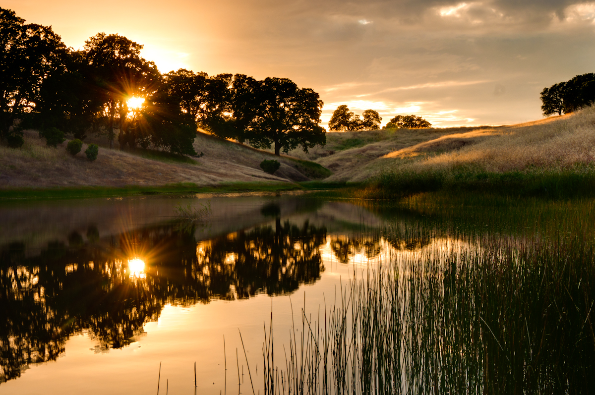
Red Bluff Sunset (Ive got a feeling)
The Ranch
Wait for it

Coyote Pond - A New Breathe

Almond Orchard Blossoms

Sacramento River (His Glory)
Dinner Time!
golden meadow
Date Night

Lone.
Iron Canyon Trail

Oak Slough
Flowing Clouds Above Still Plains :: #northern #california #red #bluff #tehama #highway #36 #summer #beautiful #cloudscape #landscape #trees #shrubs #fields #grass #sharp #mountains #distance #amazing #blue #sky #clouds #iphoneonly #igers #instadaily
Topographic Map of Frantz Drive, Frantz Dr, Red Bluff, CA, USA
Find elevation by address:

Places near Frantz Drive, Frantz Dr, Red Bluff, CA, USA:
Lyn Ellen Drive
Penner Drive
14900 Mccoy Rd
Bend
15965 E Wallen Rd
Brent Rd, Red Bluff, CA, USA
22495 Vía Pasado
21310 Wilcox Rd
Via Del Roble
18957 Ketch Pl
13301 Baker Rd
Middletree Ranch Road
1720 Douglass St
Cottonwood
855 Lakeside Dr
Cottonwood Creek Charter School
Cottonwood Community Library
Red Bluff
22481 Cloud Creek Pl
Villa Columbia
Recent Searches:
- Elevation of Woolwine, VA, USA
- Elevation of Lumagwas Diversified Farmers Multi-Purpose Cooperative, Lumagwas, Adtuyon, RV32+MH7, Pangantucan, Bukidnon, Philippines
- Elevation of Homestead Ridge, New Braunfels, TX, USA
- Elevation of Orchard Road, Orchard Rd, Marlborough, NY, USA
- Elevation of 12 Hutchinson Woods Dr, Fletcher, NC, USA
- Elevation of Holloway Ave, San Francisco, CA, USA
- Elevation of Norfolk, NY, USA
- Elevation of - San Marcos Pass Rd, Santa Barbara, CA, USA
- Elevation of th Pl SE, Issaquah, WA, USA
- Elevation of 82- D Rd, Captain Cook, HI, USA