Elevation of McCoy Rd, Red Bluff, CA, USA
Location: United States > California > Tehama County > Red Bluff >
Longitude: -122.28323
Latitude: 40.2280069
Elevation: -10000m / -32808feet
Barometric Pressure: 295KPa
Elevation Map:
Satellite Map:
Related Photos:

Mount Shasta - A Telephoto Landscape

Oh yeah! (Mt. Lassen Sunrise)

No 1 Chinese Buffet

Interstate 5 Northbound Tehama Valley Freeway approaching Exit 653 - Jells Ferry Road 1 mile with this roadside sign located at Tehama County - South Cottonwood, California. Wildlife Viewing, R.V. Camping and Boat Dock Unloading at the lake exit ahead.

Riverside Bar and Grill

Double Take (State Theater Red Bluff)

Strip [4]

Iron Canyon Loop

Stranger 3/100

Glass Eye photo show iPhone pano, Red Bluff CA

Gingerbread Victorian

Main and Walnut

The View

OZ (2)

Sunsets forever

Sacramento River (Dreaming in Vertical)

Sacramento River (His Glory)

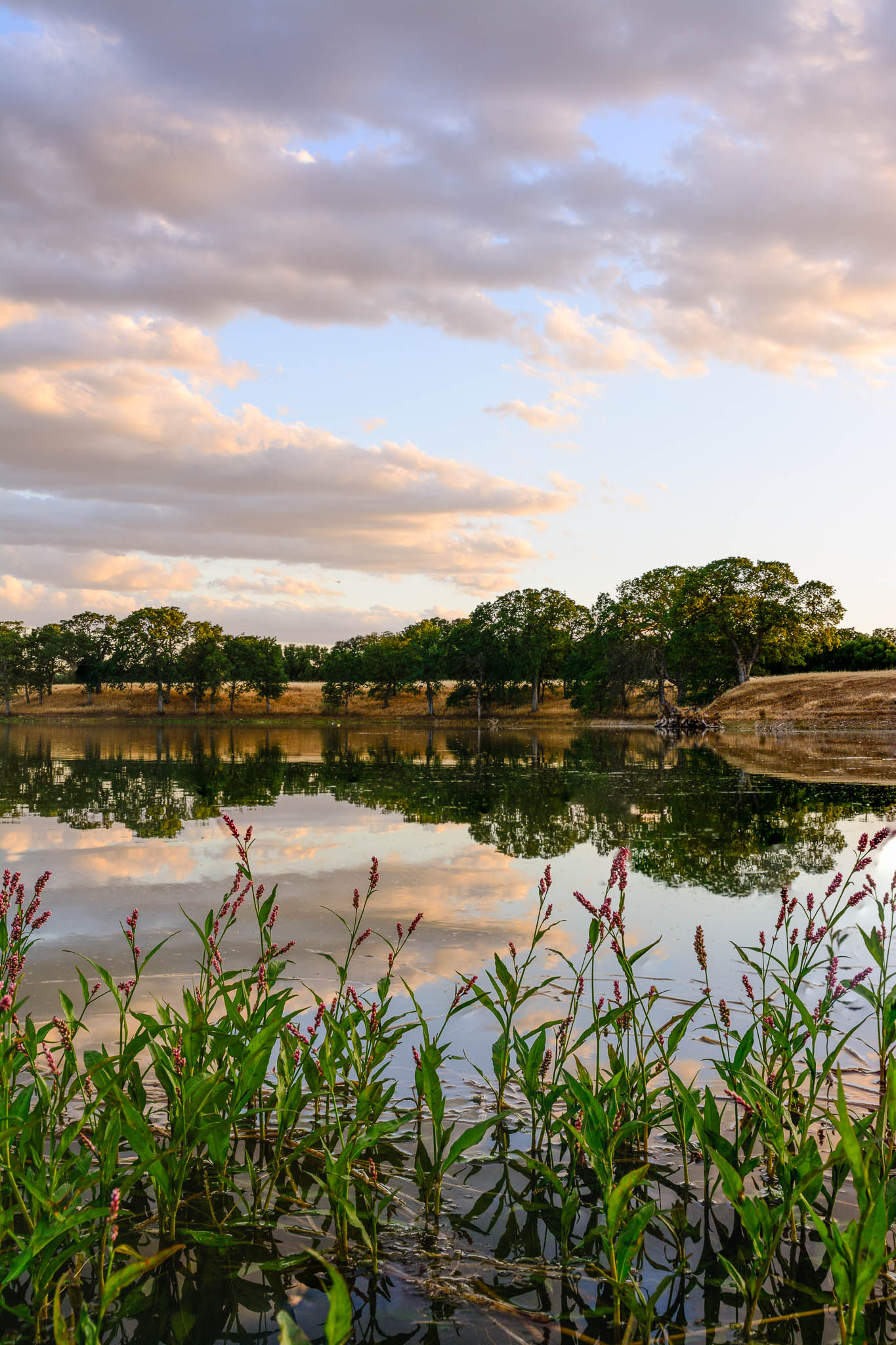
Oaks of Gold
Coyote Pond - A New Breathe

Turtle Creek Falls (To the Edge)

Flowing Clouds Above Still Plains :: #northern #california #red #bluff #tehama #highway #36 #summer #beautiful #cloudscape #landscape #trees #shrubs #fields #grass #sharp #mountains #distance #amazing #blue #sky #clouds #iphoneonly #igers #instadaily

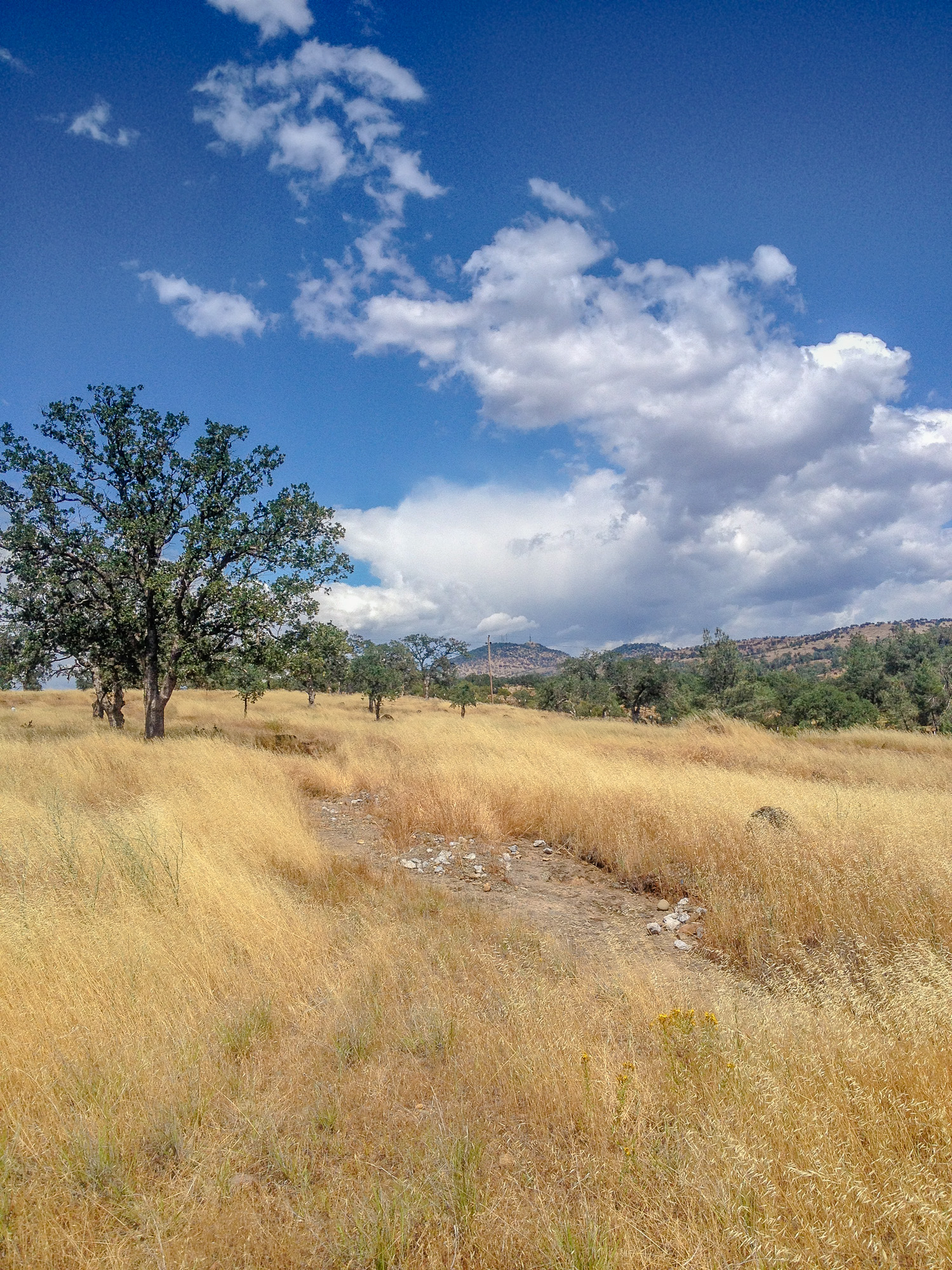
Alive, a Little Ways Off I-5 :: #36 #highway #redbluff #red #bluff #california #landscape #mountains #trees #fields #farmland #golden #beautiful #day #clouds #blue #vibrant #roadtrip #summer

Break In the Storm

A Photographer
Alive on I-5, 4 :: #redbluff #california #highway36 #red #bluff #tree #field #beautiful #blue #sky #puffy #clouds #golden #landscape #day #vibrant #cloudscape

Near Cottonwood
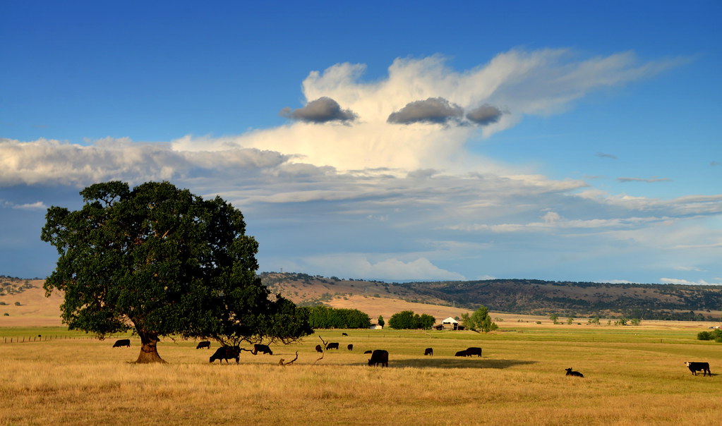
Highway 36 Pastoral Landscape, California

The Minds Eye

Sacramento River (Livin' on the Edge)

Sacramento River (His Glory)

Red Bluff Diversion Dam
Topographic Map of McCoy Rd, Red Bluff, CA, USA
Find elevation by address:

Places near McCoy Rd, Red Bluff, CA, USA:
21310 Wilcox Rd
Via Del Roble
Penner Drive
13301 Baker Rd
1720 Douglass St
Frantz Drive
Lyn Ellen Drive
Red Bluff
855 Lakeside Dr
1435 Aloha St
Villa Columbia
1125 Aloha St
Bend
15965 E Wallen Rd
Brent Rd, Red Bluff, CA, USA
910 Hasvold Dr
350 Gilmore Rd Spc 6
22048 Grove Cir
22495 Vía Pasado
Middletree Ranch Road
Recent Searches:
- Elevation of 62 Abbey St, Marshfield, MA, USA
- Elevation of Fernwood, Bradenton, FL, USA
- Elevation of Felindre, Swansea SA5 7LU, UK
- Elevation of Leyte Industrial Development Estate, Isabel, Leyte, Philippines
- Elevation of W Granada St, Tampa, FL, USA
- Elevation of Pykes Down, Ivybridge PL21 0BY, UK
- Elevation of Jalan Senandin, Lutong, Miri, Sarawak, Malaysia
- Elevation of Bilohirs'k
- Elevation of 30 Oak Lawn Dr, Barkhamsted, CT, USA
- Elevation of Luther Road, Luther Rd, Auburn, CA, USA