Elevation of Douglass St, Red Bluff, CA, USA
Location: United States > California > Tehama County > Red Bluff >
Longitude: -122.25411
Latitude: 40.178745
Elevation: 100m / 328feet
Barometric Pressure: 100KPa
Elevation Map:
Satellite Map:
Related Photos:

Play Me a Song
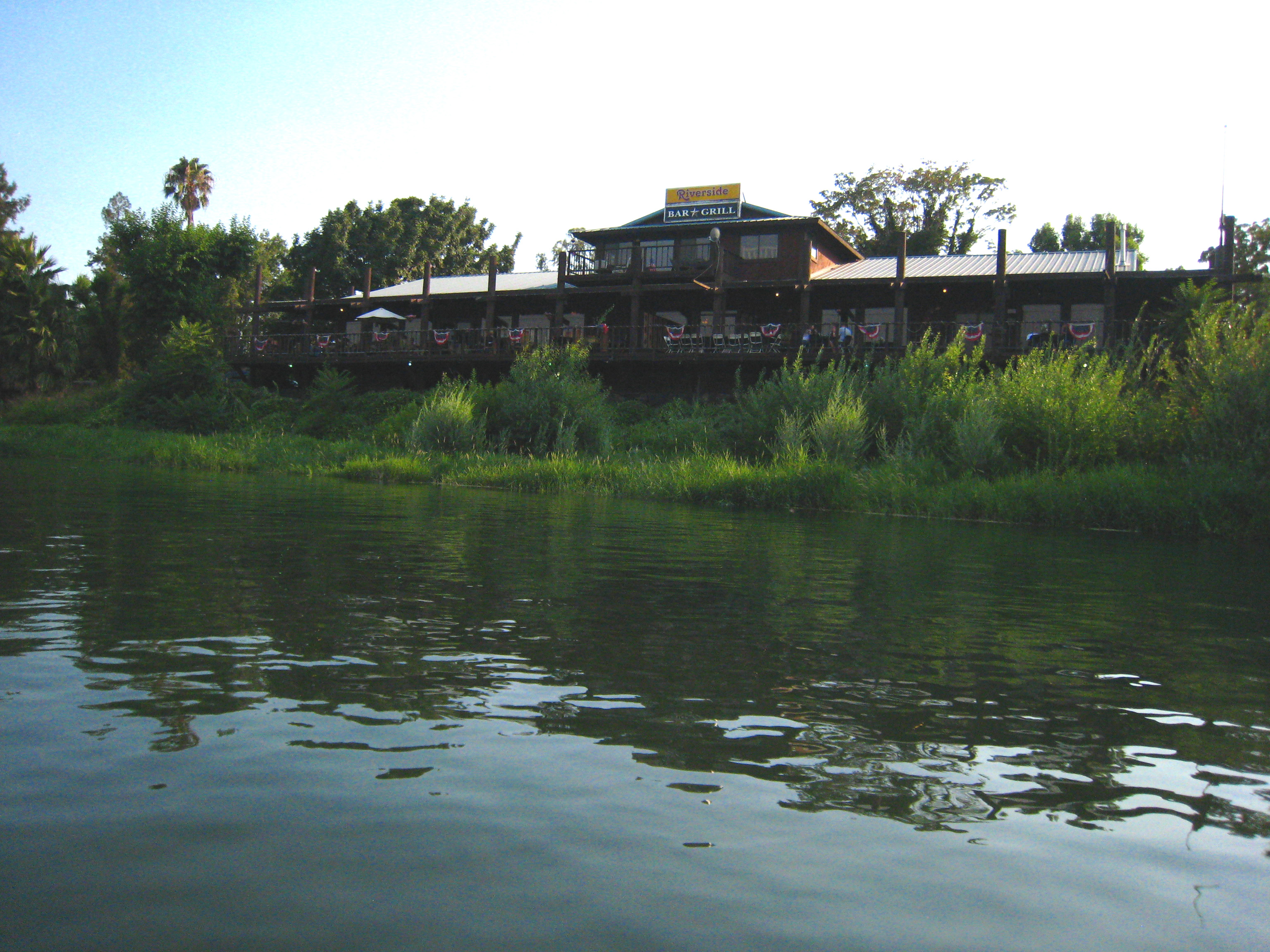
Riverside Bar and Grill
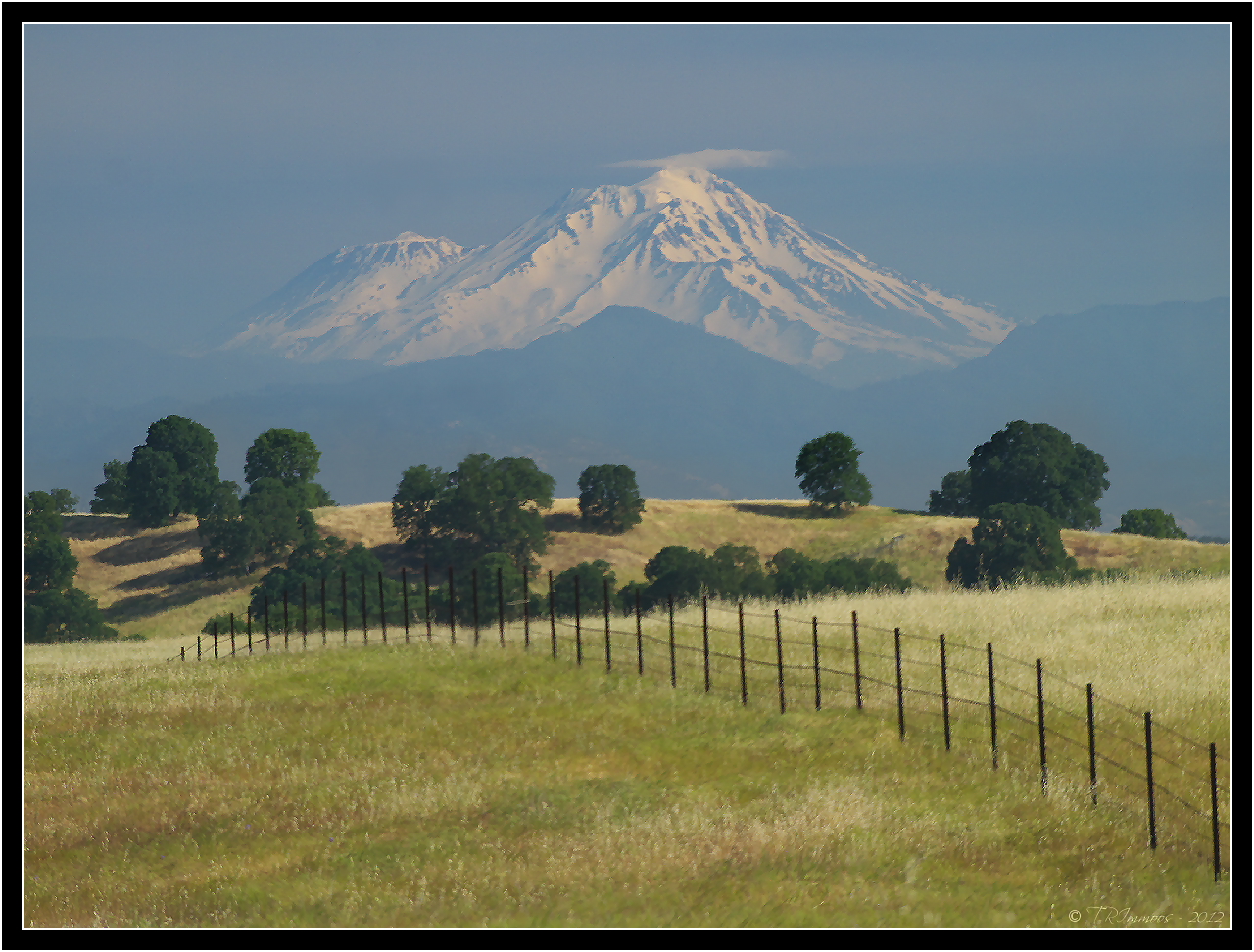
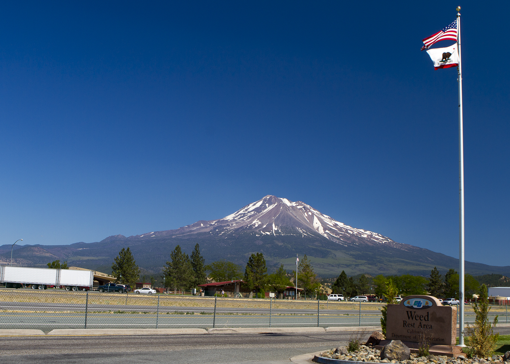
Mount Shasta - A Telephoto Landscape

1:4
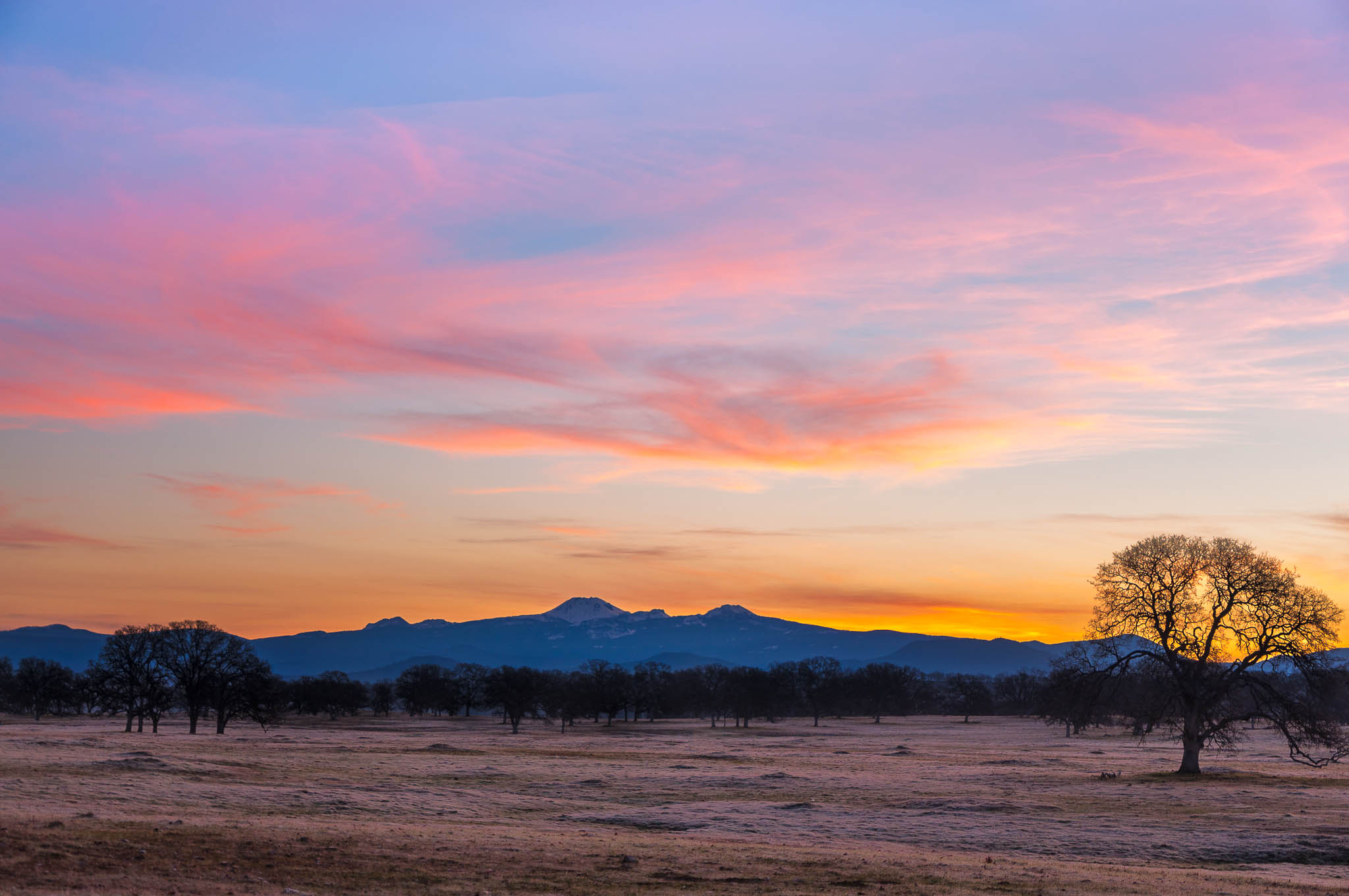
Oh yeah! (Mt. Lassen Sunrise)
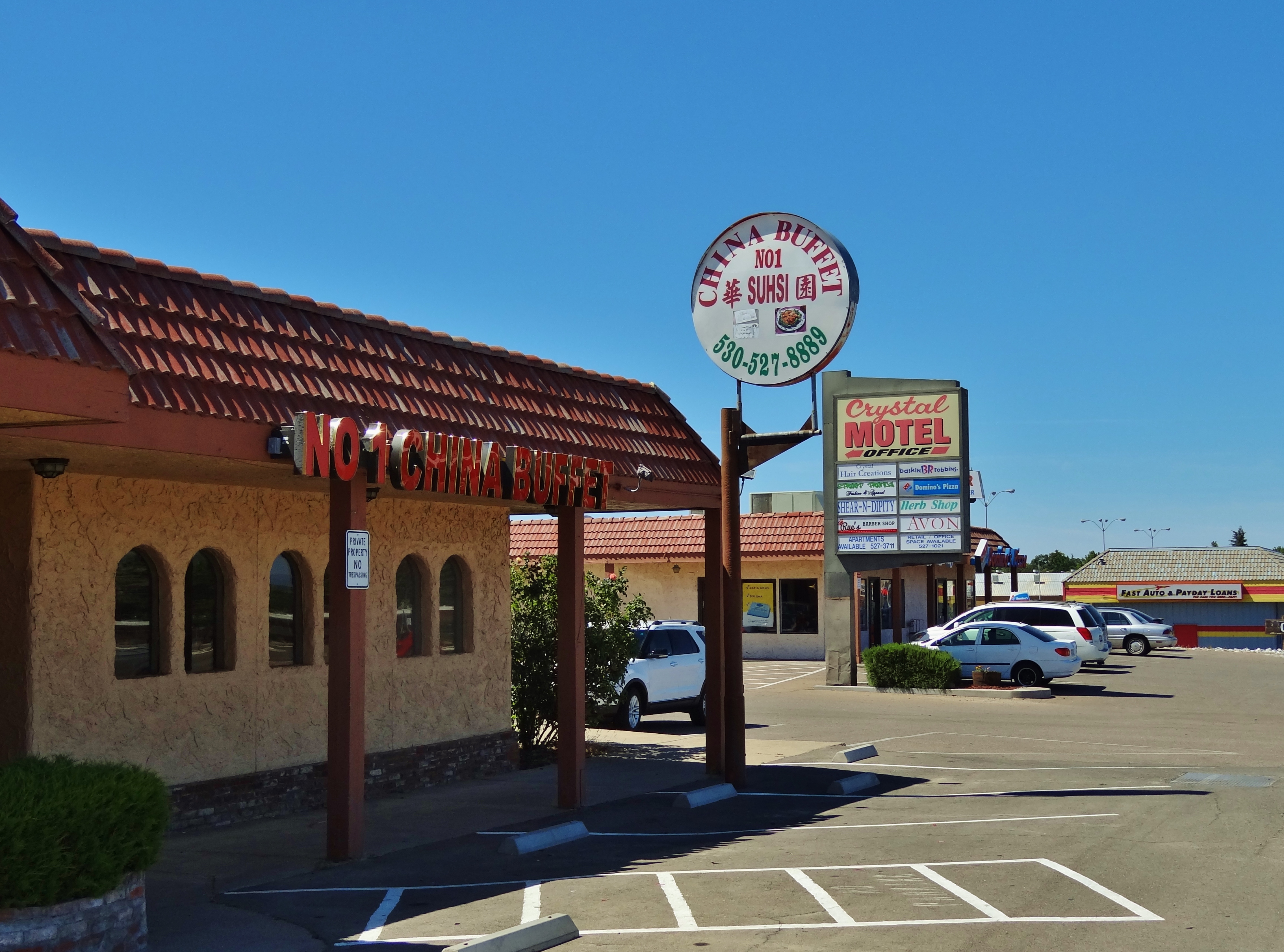
No 1 Chinese Buffet

Stranger 3/100

Gingerbread Victorian
The View

Glass Eye photo show iPhone pano, Red Bluff CA

PIX-IMG_8820HDTV-Test-g
The Minds Eye

Red Bluff Sunset (Ive got a feeling)

Lost Memory
I-5

A Photographer
Growing Fonder
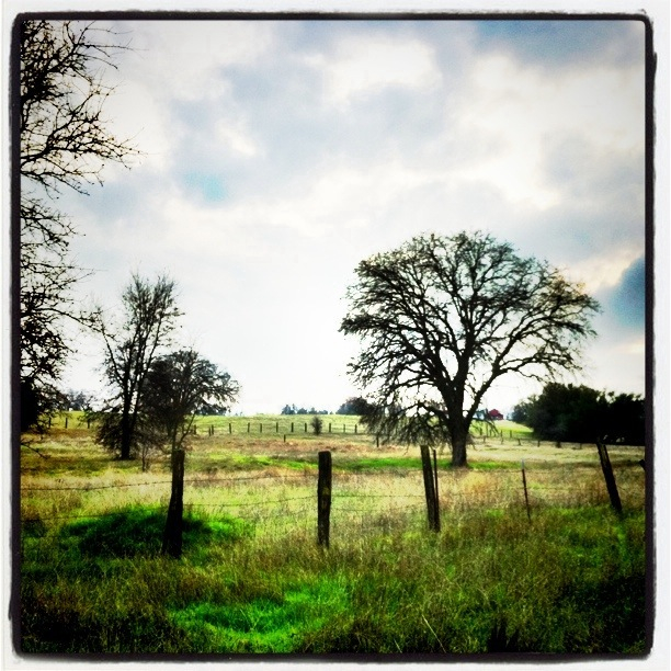
The Ranch
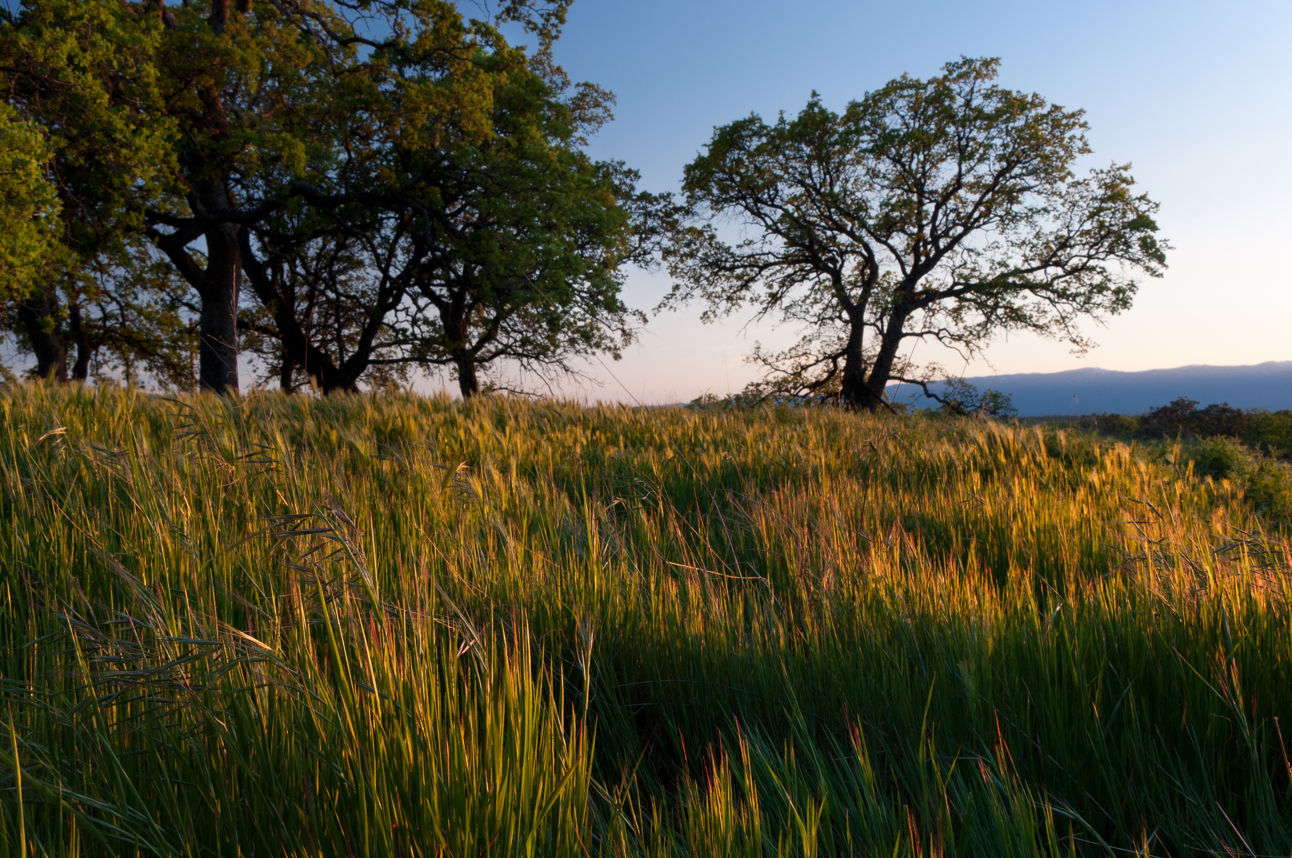
Spring!
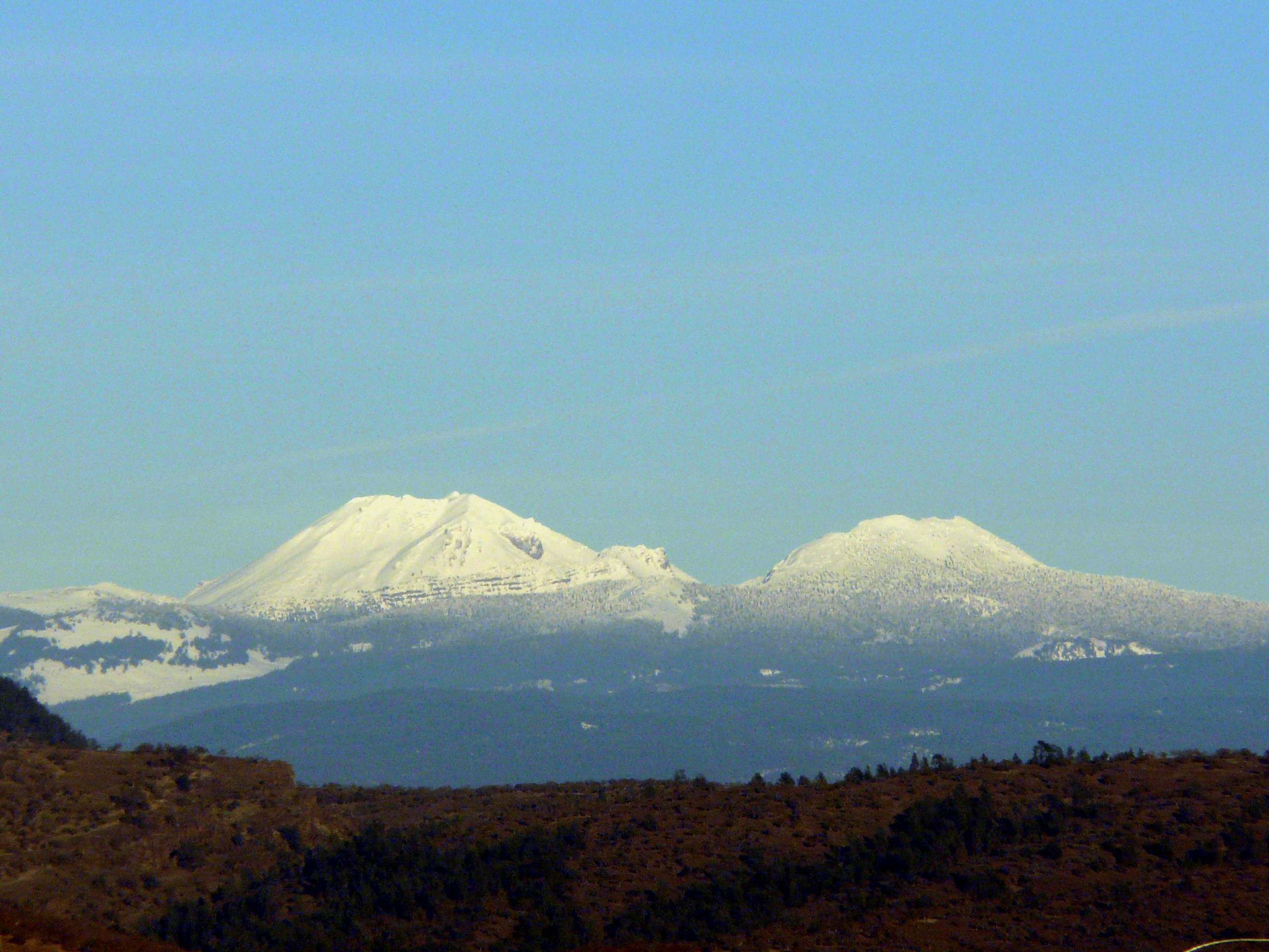
Mt. Lassen
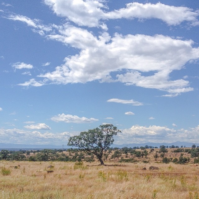
Flowing Clouds Above Still Plains :: #northern #california #red #bluff #tehama #highway #36 #summer #beautiful #cloudscape #landscape #trees #shrubs #fields #grass #sharp #mountains #distance #amazing #blue #sky #clouds #iphoneonly #igers #instadaily
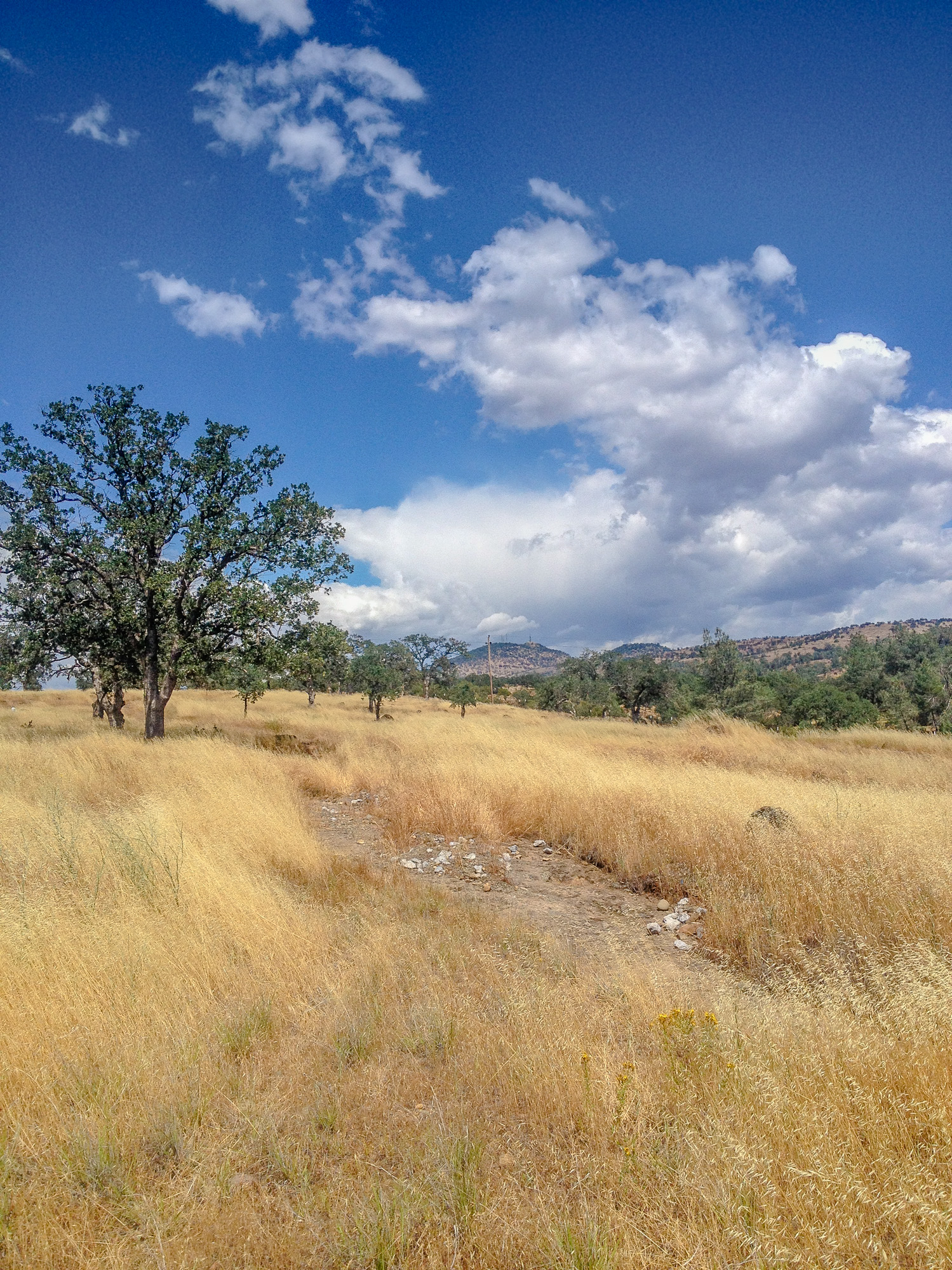
Alive on I-5, 4 :: #redbluff #california #highway36 #red #bluff #tree #field #beautiful #blue #sky #puffy #clouds #golden #landscape #day #vibrant #cloudscape
Rest Area along I-5

Sacramento River (His Glory)

On the Road to Mt. Shasta
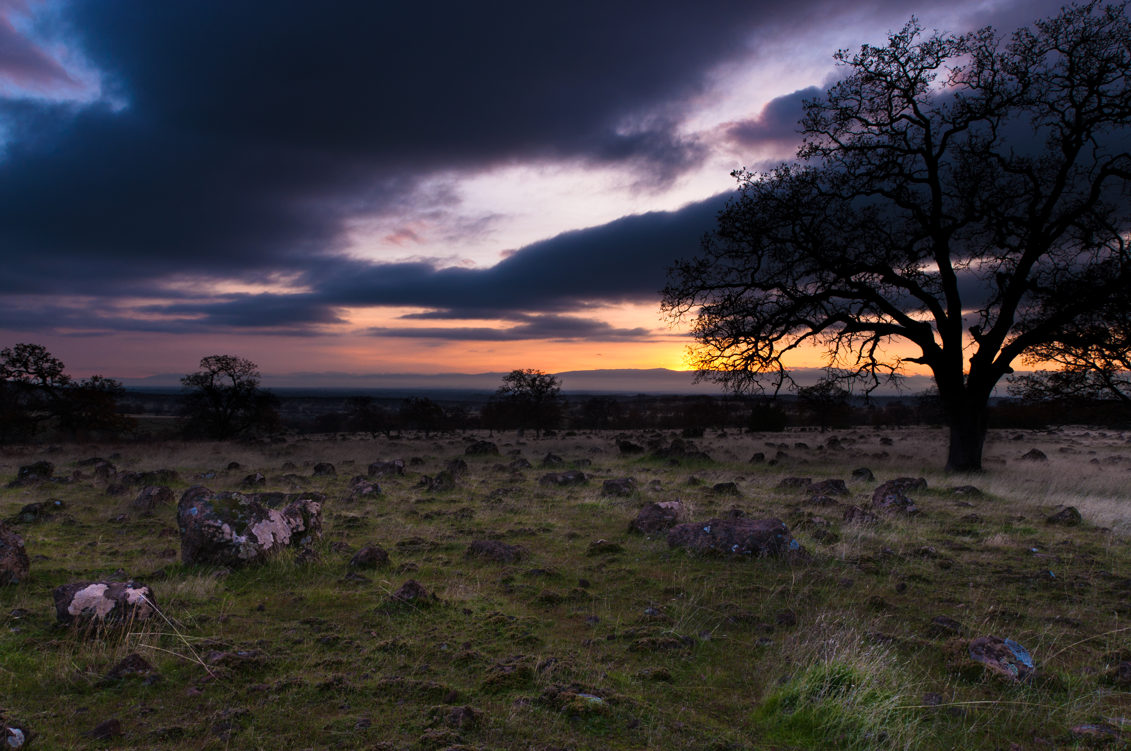
Sunsets forever

Coyote Pond - A New Breathe
Topographic Map of Douglass St, Red Bluff, CA, USA
Find elevation by address:

Places near Douglass St, Red Bluff, CA, USA:
13301 Baker Rd
1435 Aloha St
1125 Aloha St
Red Bluff
Villa Columbia
855 Lakeside Dr
910 Hasvold Dr
Via Del Roble
350 Gilmore Rd Spc 6
22048 Grove Cir
21310 Wilcox Rd
14900 Mccoy Rd
Middletree Ranch Road
State Hwy 99w, Red Bluff, CA, USA
Penner Drive
Brent Rd, Red Bluff, CA, USA
Bend
15965 E Wallen Rd
22495 Vía Pasado
Frantz Drive
Recent Searches:
- Elevation of Tenjo, Cundinamarca, Colombia
- Elevation of Côte-des-Neiges, Montreal, QC H4A 3J6, Canada
- Elevation of Bobcat Dr, Helena, MT, USA
- Elevation of Zu den Ihlowbergen, Althüttendorf, Germany
- Elevation of Badaber, Peshawar, Khyber Pakhtunkhwa, Pakistan
- Elevation of SE Heron Loop, Lincoln City, OR, USA
- Elevation of Slanický ostrov, 01 Námestovo, Slovakia
- Elevation of Spaceport America, Co Rd A, Truth or Consequences, NM, USA
- Elevation of Warwick, RI, USA
- Elevation of Fern Rd, Whitmore, CA, USA