Elevation of UT-99, Fillmore, UT, USA
Location: United States > Utah > Millard County > Fillmore >
Longitude: -112.34053
Latitude: 38.954734
Elevation: 1545m / 5069feet
Barometric Pressure: 84KPa
Elevation Map:
Satellite Map:
Related Photos:
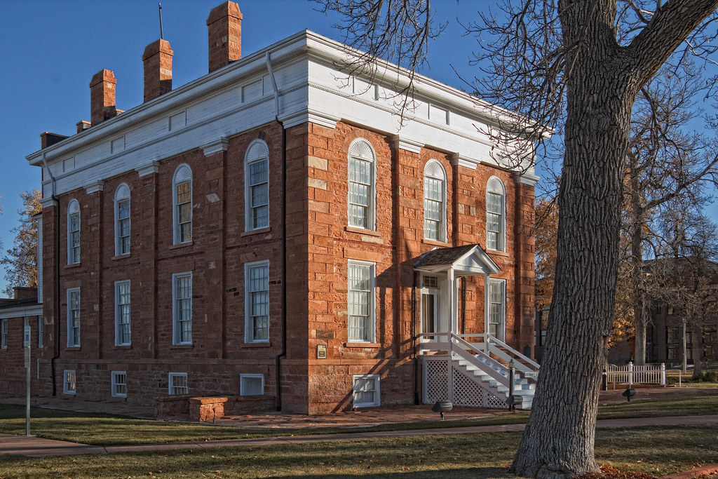
Utah Territorial State House
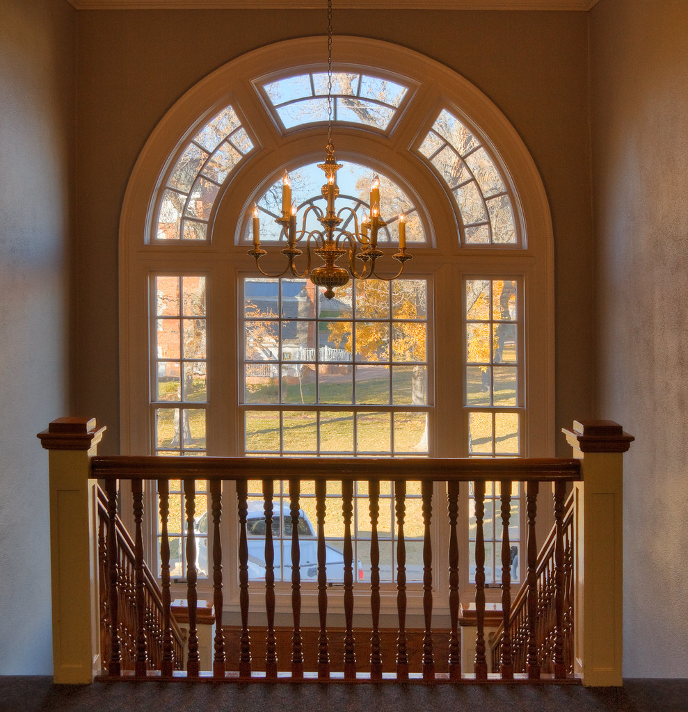
Window on State House
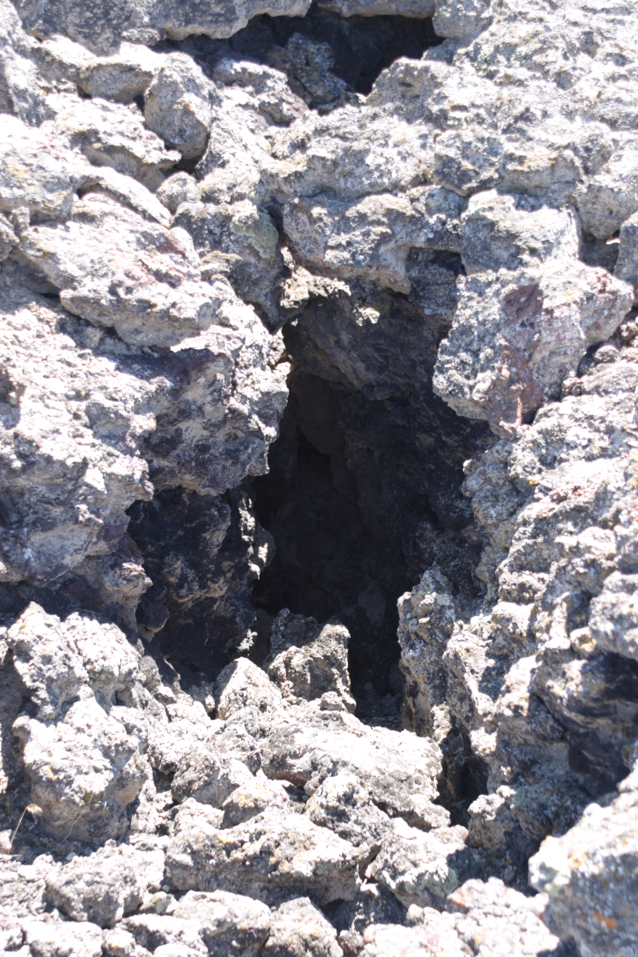
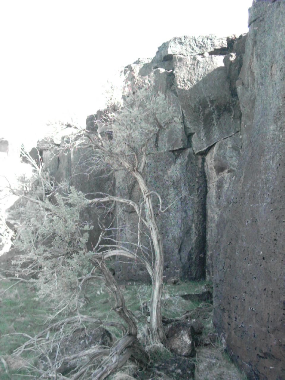
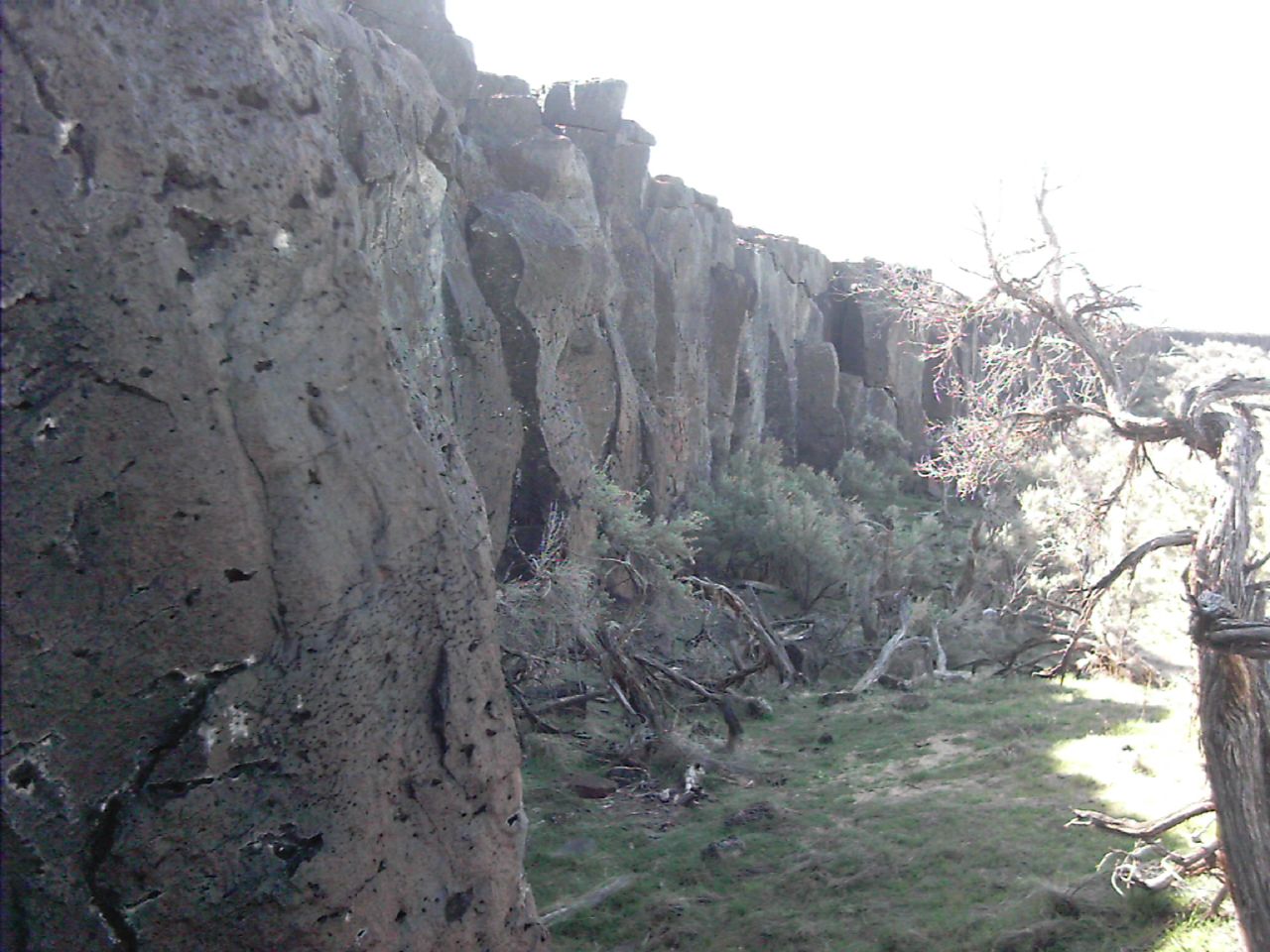
Lava tube view hole

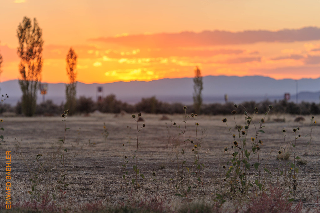
last light of the day...
Filmore RV Ground
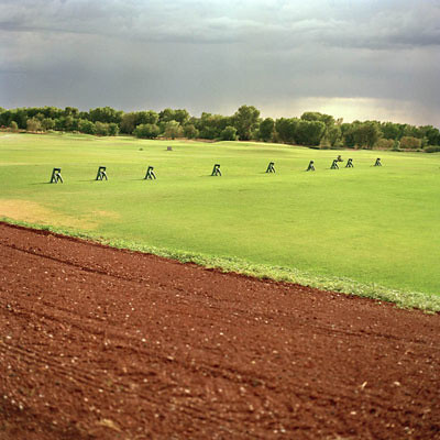
Driving Range, Fillmore, Utah. 2004
Filmore RV Ground
Filmore RV Ground
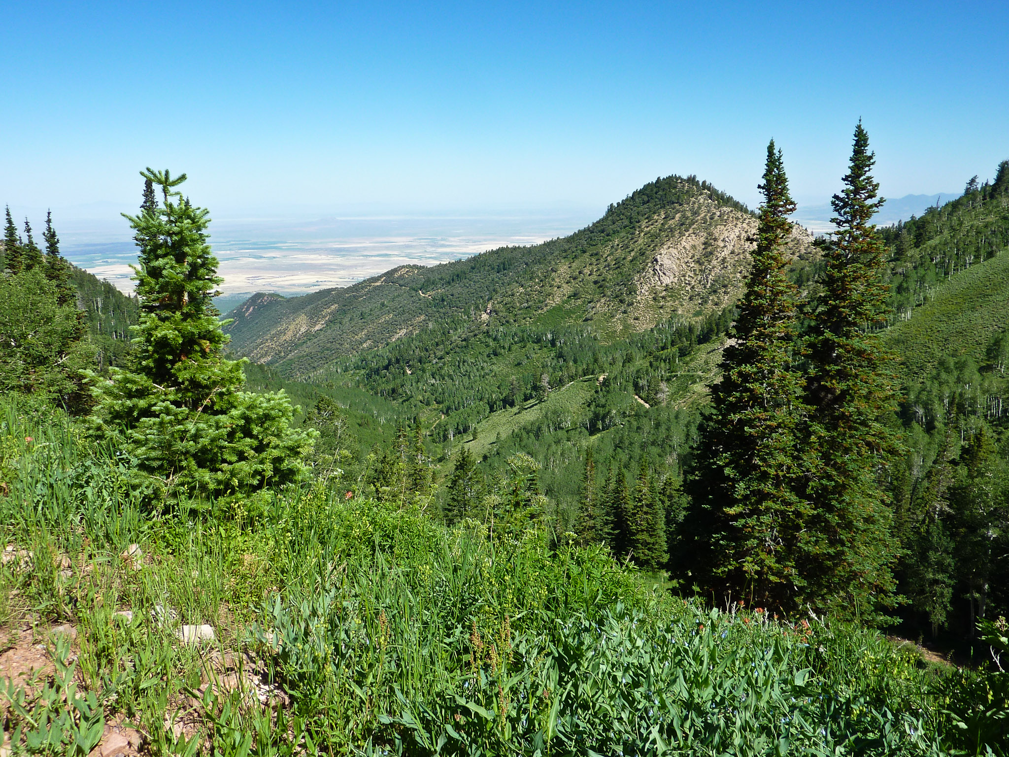
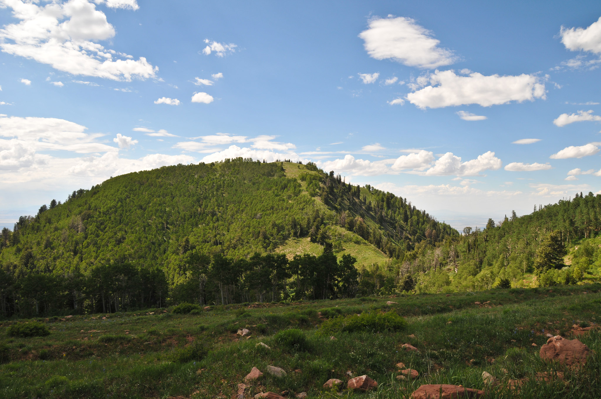
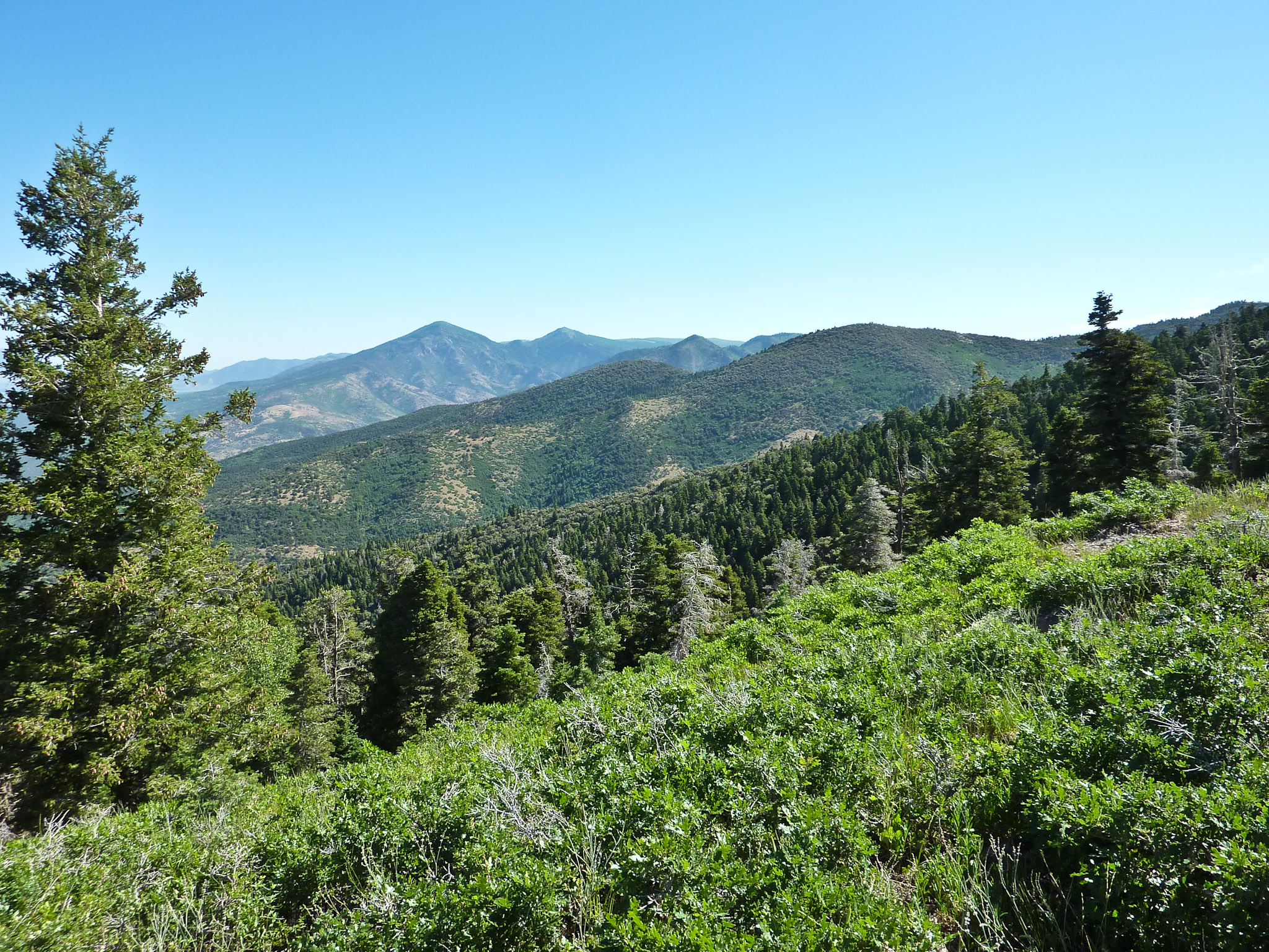
White Pine Peak
Sand Rock Ridge road
Happy New Year - Going Home
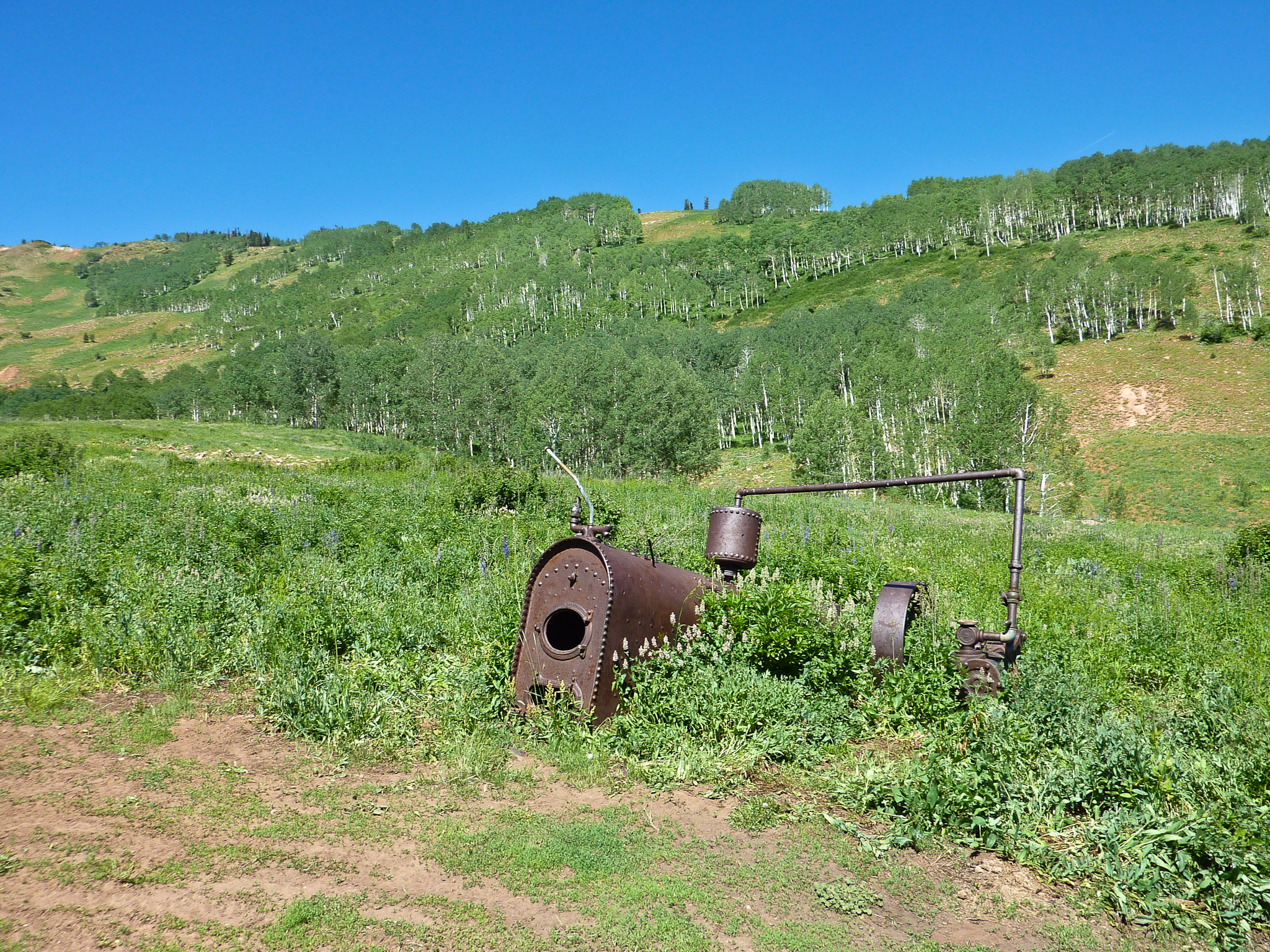
Camera Roll-1284
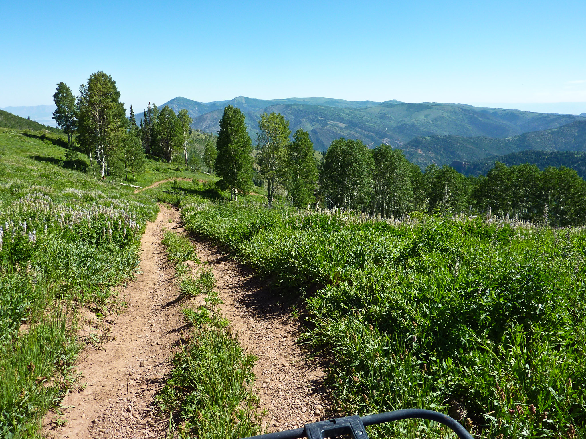
Sand Rock Ridge road
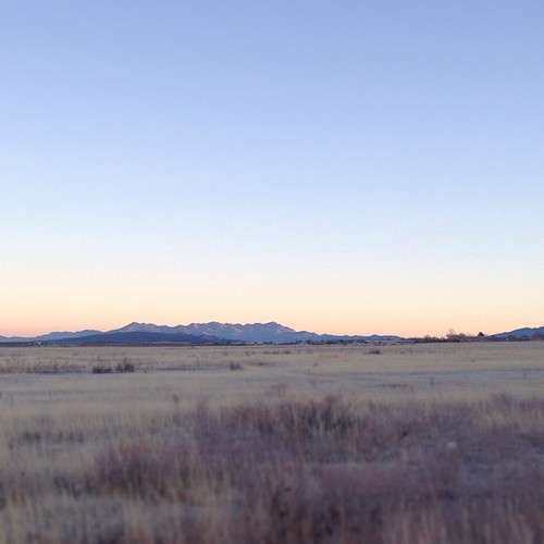
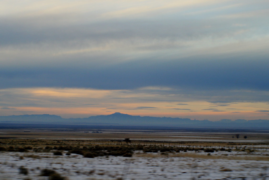
Good morning, Utah.
Leaving West Fork Corn Creek road
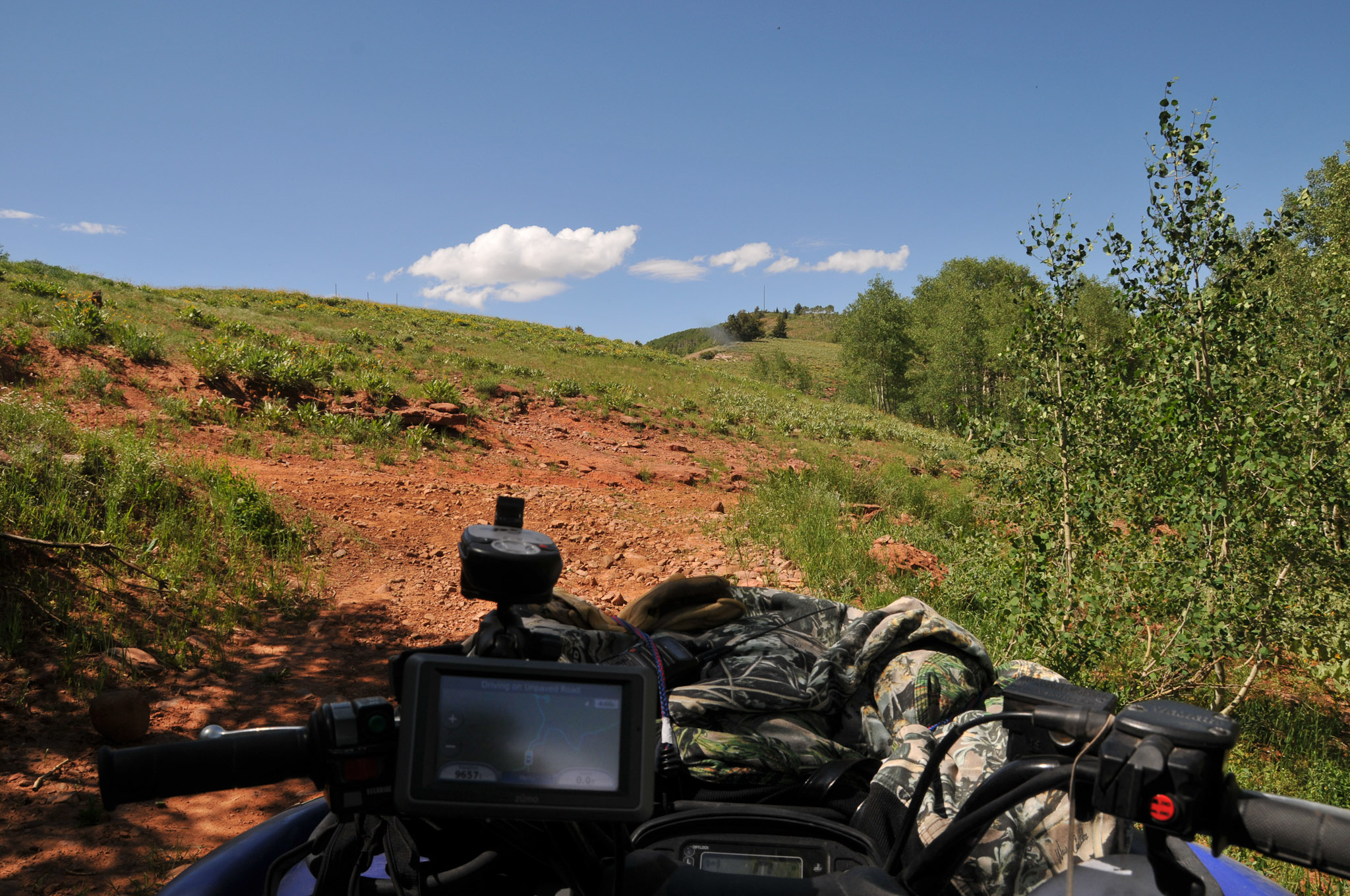
Piute 01 ATV Trail
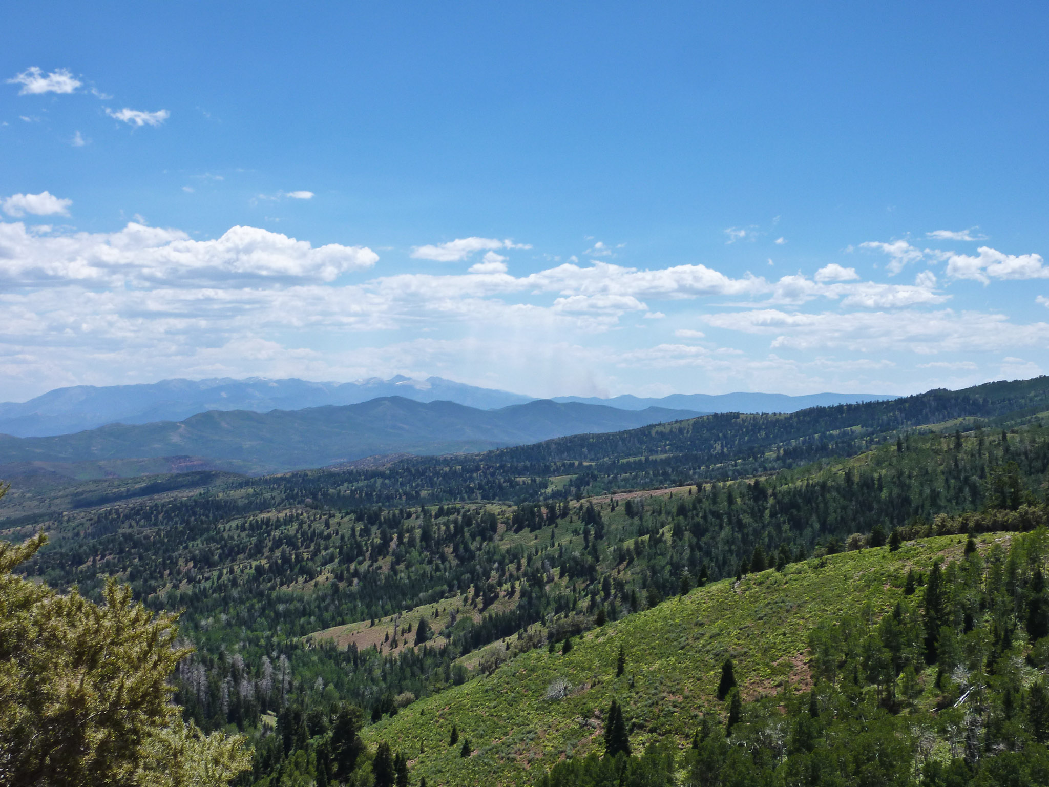
Mine Camp Peak - Tallest peak in Millard County

White Pine Peak

Sand Rock Ridge turn off to Fillmore Utah (left)
07-04-02 Exile Shoot [Day 4] 008
07-04-02 Exile Shoot [Day 4] 006
Paradise Trail

White Pine Peak
Sand Rock Ridge road
Topographic Map of UT-99, Fillmore, UT, USA
Find elevation by address:

Places near UT-99, Fillmore, UT, USA:
Fillmore
West Center Street
W S, Kanosh, UT, USA
Kanosh
1000 N Main St
Pvxw+rv
Richfield
W Center St, Scipio, UT, USA
Sam Stowe Campground
Sevier
55 N, Sigurd, UT, USA
Jvph+xh
West Center Street
Sigurd
UT-24, Sigurd, UT, USA
23 E S, Monroe, UT, USA
Monroe
105 S 200 E
Castle Rock Campground
447 E 800 S
Recent Searches:
- Elevation of Elk City, OK, USA
- Elevation of Erika Dr, Windsor, CA, USA
- Elevation of Village Ln, Finleyville, PA, USA
- Elevation of 24 Oakland Rd #, Scotland, ON N0E 1R0, Canada
- Elevation of Deep Gap Farm Rd E, Mill Spring, NC, USA
- Elevation of Dog Leg Dr, Minden, NV, USA
- Elevation of Dog Leg Dr, Minden, NV, USA
- Elevation of Kambingan Sa Pansol Atbp., Purok 7 Pansol, Candaba, Pampanga, Philippines
- Elevation of Pinewood Dr, New Bern, NC, USA
- Elevation of Mountain View, CA, USA