Elevation of JVPH+XH, Monroe, UT, USA
Location: United States > Utah > Sevier County > Monroe >
Longitude: -112.12106
Latitude: 38.6374375
Elevation: 1634m / 5361feet
Barometric Pressure: 83KPa
Elevation Map:
Satellite Map:
Related Photos:

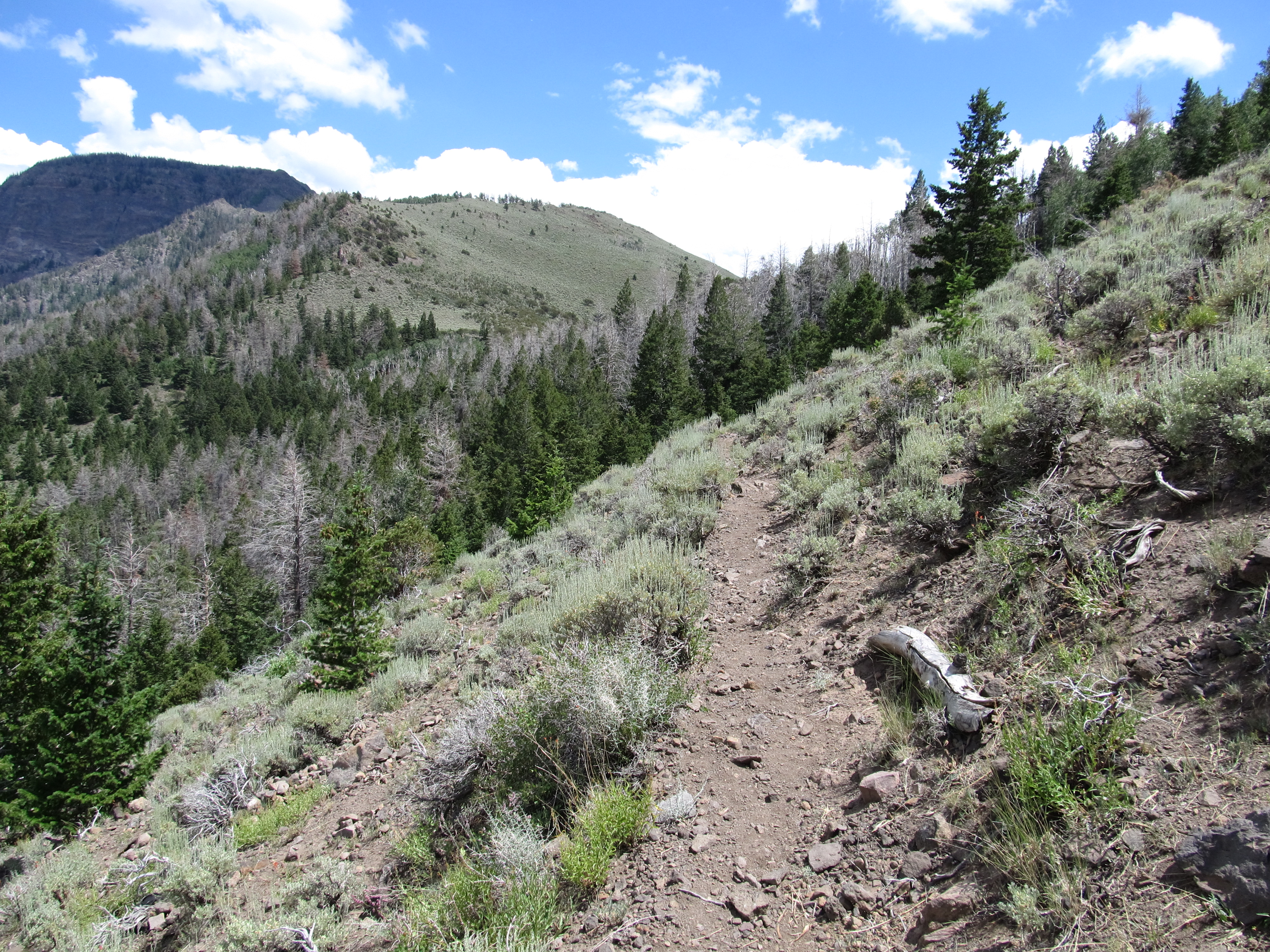
View of Monroe, Utah, Hike Between Cove Mountain and Left Hand Fork Canyon, Near Monroe, Utah

View of Cove Mountain, Central Valley, Utah

View of Cove Mountain, Central Valley, Utah

View of Monroe Mountain, Central Valley, Utah

View of Sevier Valley, Near Cove Mountain, Utah

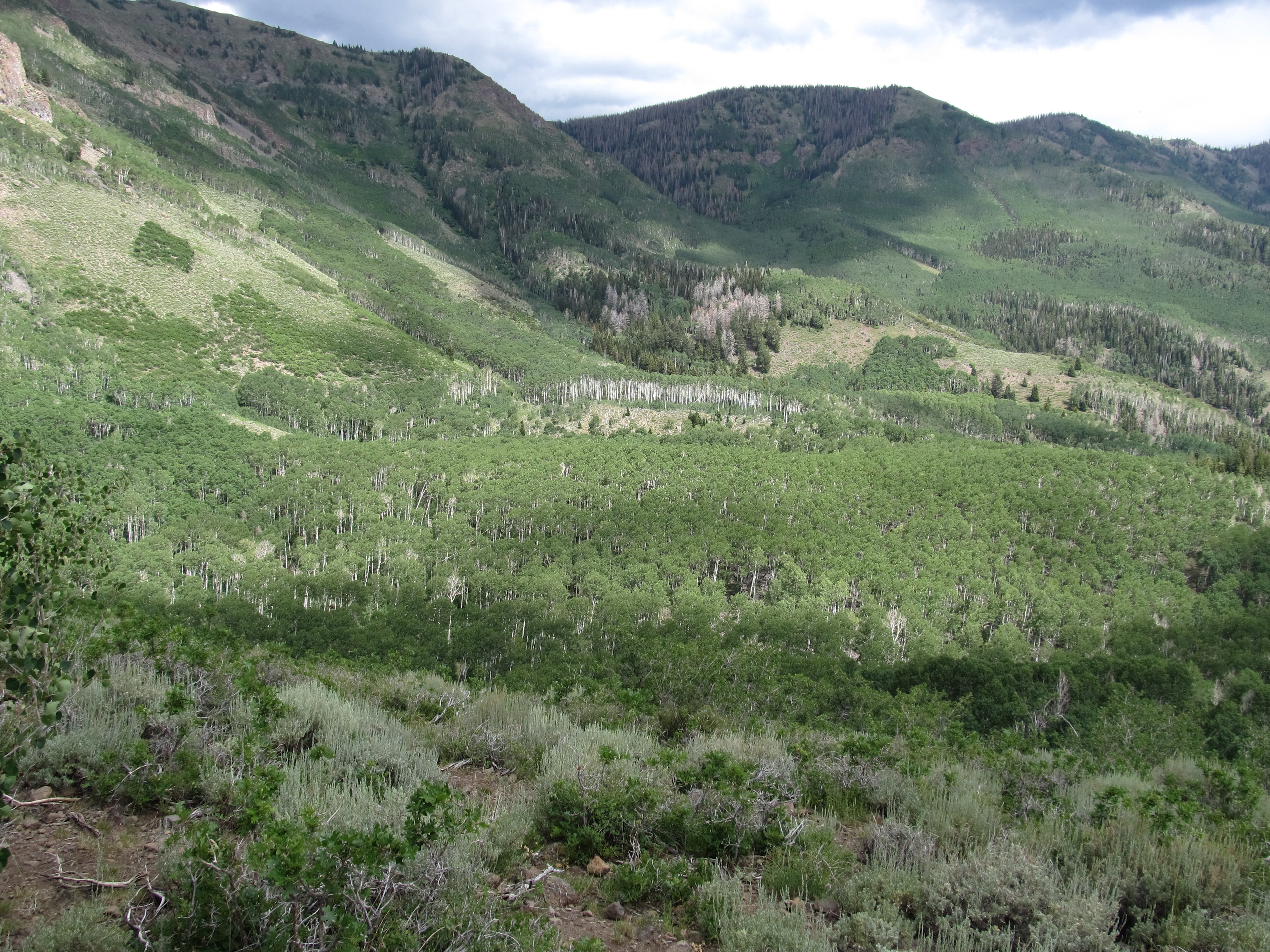
Hike Between Cove Mountain and Hand Fork Canyon, Near Monroe, Utah
Hike Between Cove Mountain and Hand Fork Canyon, Near Monroe, Utah

Hike Between Cove Mountain and Hand Fork Canyon, Near Monroe, Utah

Hike Between Cove Mountain and Hand Fork Canyon, Near Monroe, Utah
Hike Between Cove Mountain and Hand Fork Canyon, Near Monroe, Utah

Hike Between Cove Mountain and Hand Fork Canyon, Near Monroe, Utah

Hike Between Cove Mountain and Hand Fork Canyon, Near Monroe, Utah

Ken, Hike Between Cove Mountain and Hand Fork Canyon, Near Monroe, Utah

Hike Between Cove Mountain and Hand Fork Canyon, Near Monroe, Utah

Hike Between Cove Mountain and Hand Fork Canyon, Near Monroe, Utah

Hike Between Cove Mountain and Hand Fork Canyon, Near Monroe, Utah

Alicia, Hike Between Cove Mountain and Hand Fork Canyon, Near Monroe, Utah

Hike Between Cove Mountain and Hand Fork Canyon, Near Monroe, Utah

Hike Between Cove Mountain and Hand Fork Canyon, Near Monroe, Utah

Hike Between Cove Mountain and Hand Fork Canyon, Near Monroe, Utah

Hike Between Cove Mountain and Hand Fork Canyon, Near Monroe, Utah

Fall in Utah

Manning Meadows Reservoir

20160424 192217 1SL6

20160424 192205 1SL6

Man, Woman, Wild, Left Hand Fork Canyon, Near Monroe, Utah

Man, Woman, Wild, Left Hand Fork Canyon, Near Monroe, Utah

Man, Woman, Wild, Left Hand Fork Canyon, Near Monroe, Utah

Man, Woman, Wild, Left Hand Fork Canyon, Near Monroe, Utah

Fremont Indian State Park, I-70, Utah (2)

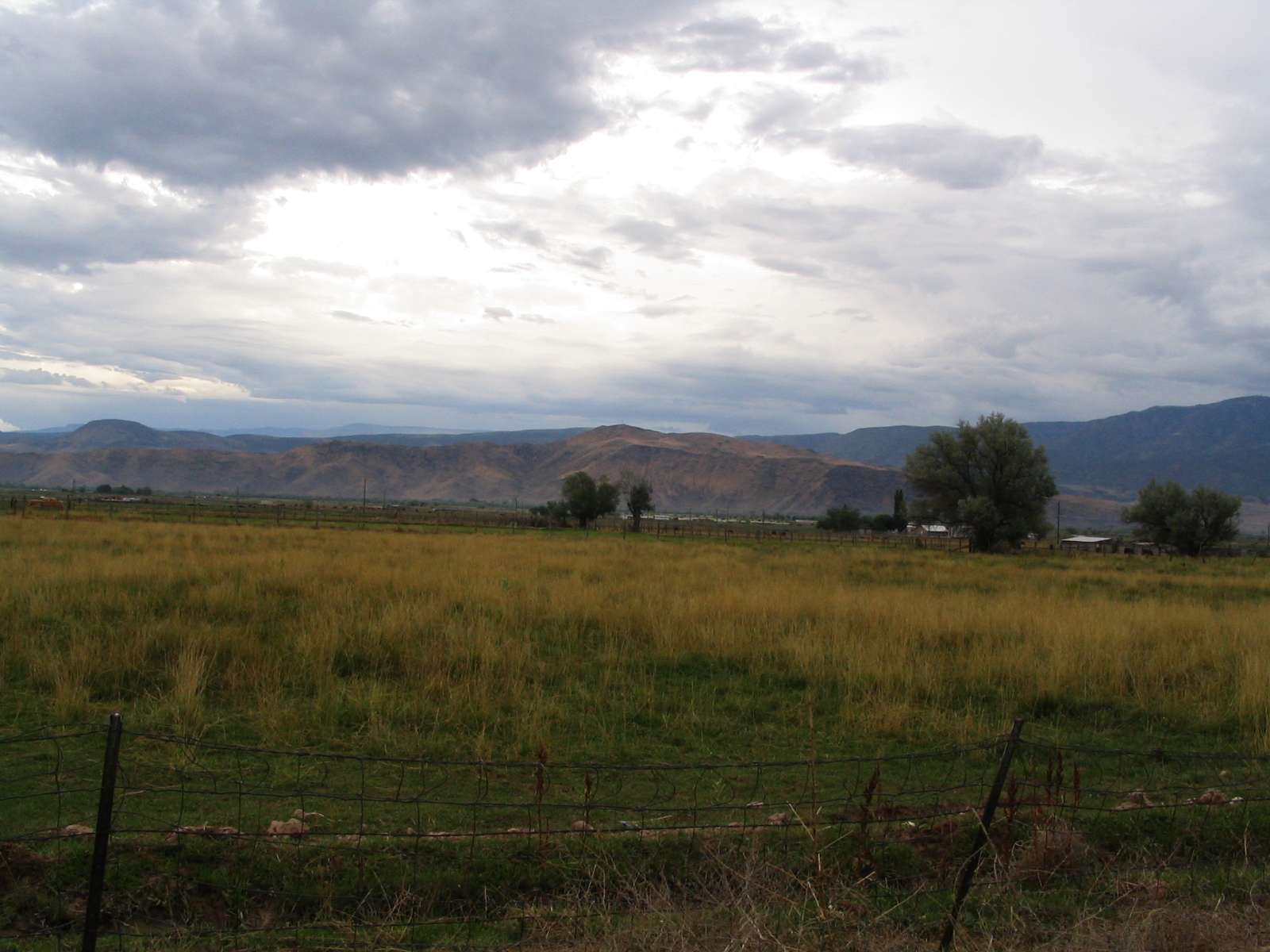
Sevier Valley Near Monroe, Utah

"E" on Mountain, Elsinore, Utah

Fremont Indian State Park, I-70, Utah (3)

Sevier Valley Near Richfield, Utah
Sevier Valley Near Richfield, Utah

RIchfield from Interstate 70, Utah

Sevier Valley Near Monroe, Utah

Sevier Valley Near Richfield, Utah

U.S. Route 50 Between Salina and Scipio, Utah
Topographic Map of JVPH+XH, Monroe, UT, USA
Find elevation by address:

Places near JVPH+XH, Monroe, UT, USA:
23 E S, Monroe, UT, USA
West Center Street
Monroe
105 S 200 E
447 E 800 S
Pvxw+rv
Richfield
Sevier
1000 N Main St
Sam Stowe Campground
Marysvale
Castle Rock Campground
Sigurd
UT-24, Sigurd, UT, USA
Koosharem Road
55 N, Sigurd, UT, USA
Sorenson's Ranch School
Koosharem
Utah 24
Aurora
Recent Searches:
- Elevation of Placer Mine Ln, West Jordan, UT, USA
- Elevation of E 63rd St, New York, NY, USA
- Elevation of Elk City, OK, USA
- Elevation of Erika Dr, Windsor, CA, USA
- Elevation of Village Ln, Finleyville, PA, USA
- Elevation of 24 Oakland Rd #, Scotland, ON N0E 1R0, Canada
- Elevation of Deep Gap Farm Rd E, Mill Spring, NC, USA
- Elevation of Dog Leg Dr, Minden, NV, USA
- Elevation of Dog Leg Dr, Minden, NV, USA
- Elevation of Kambingan Sa Pansol Atbp., Purok 7 Pansol, Candaba, Pampanga, Philippines