Elevation of Monroe, UT, USA
Location: United States > Utah > Sevier County >
Longitude: -112.12075
Latitude: 38.6299724
Elevation: 1644m / 5394feet
Barometric Pressure: 83KPa
Elevation Map:
Satellite Map:
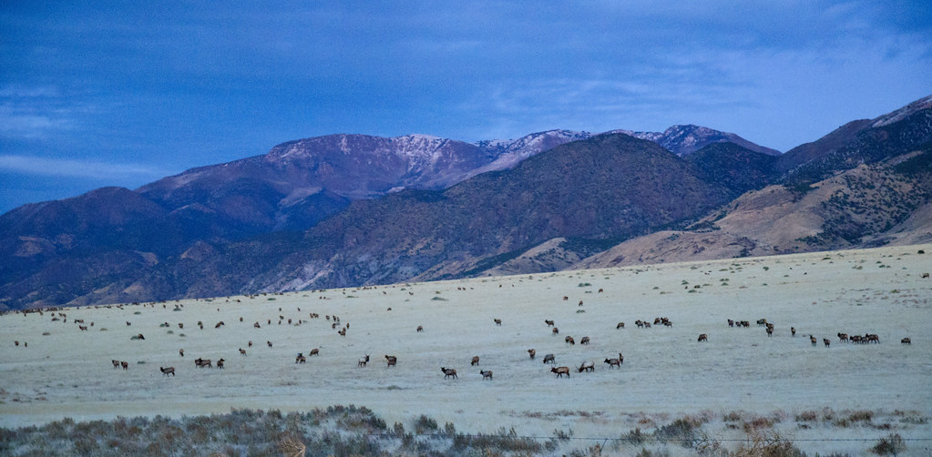
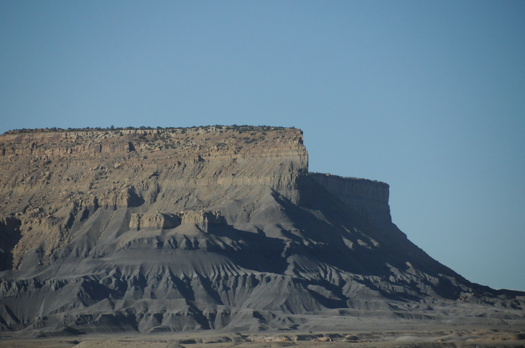
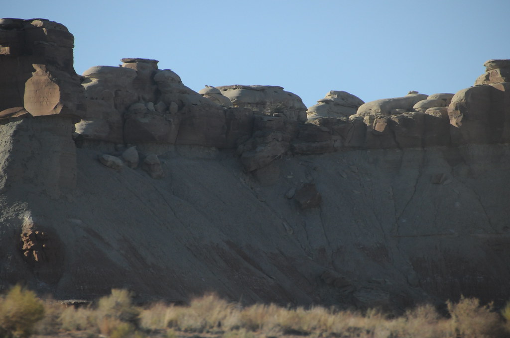
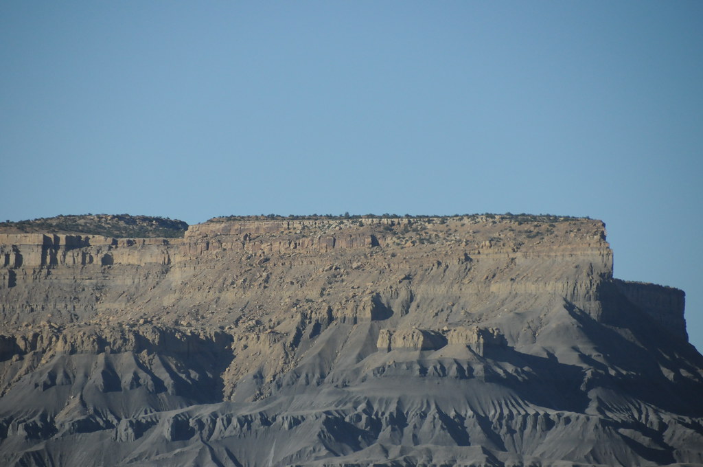
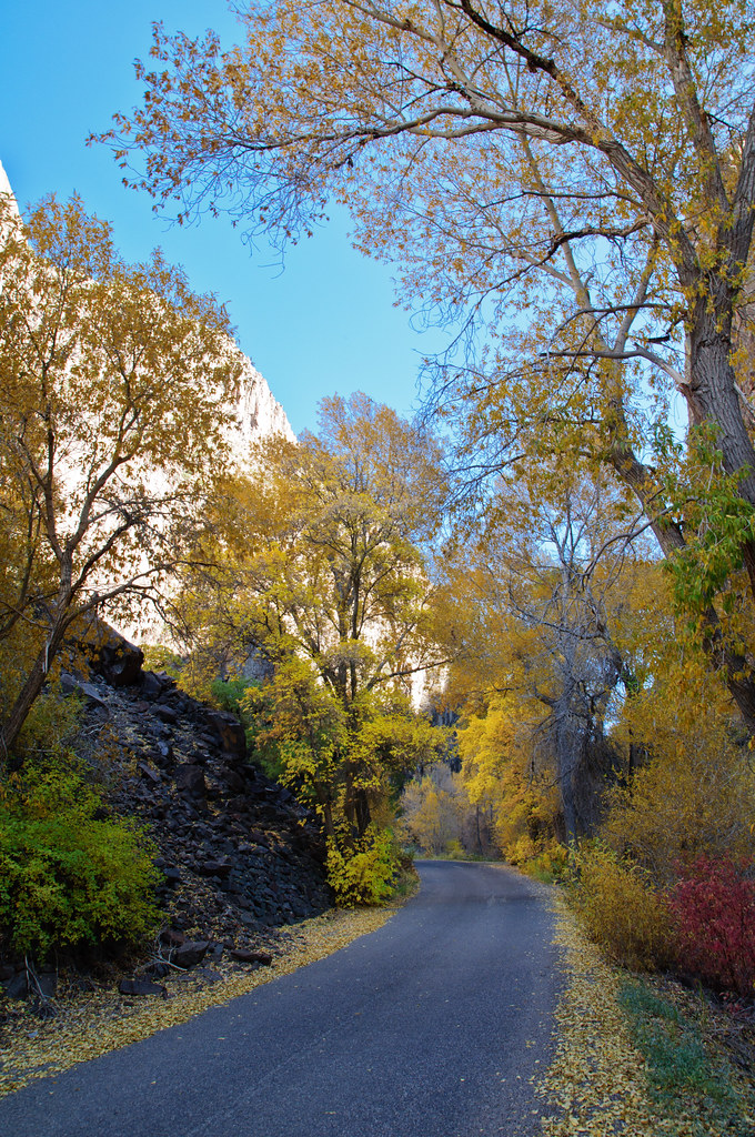
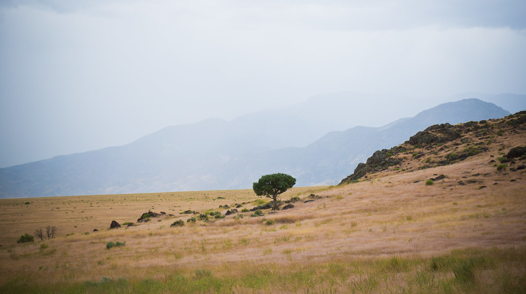
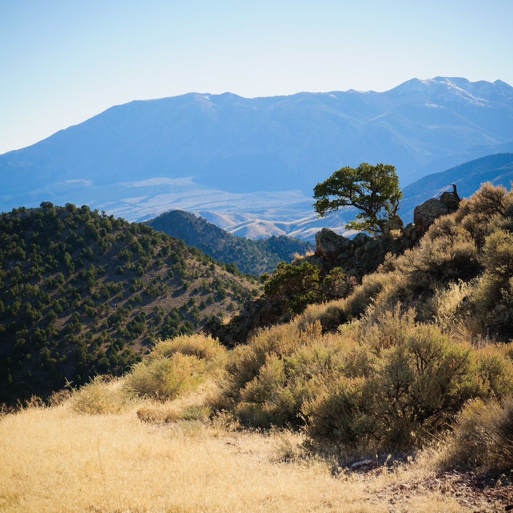
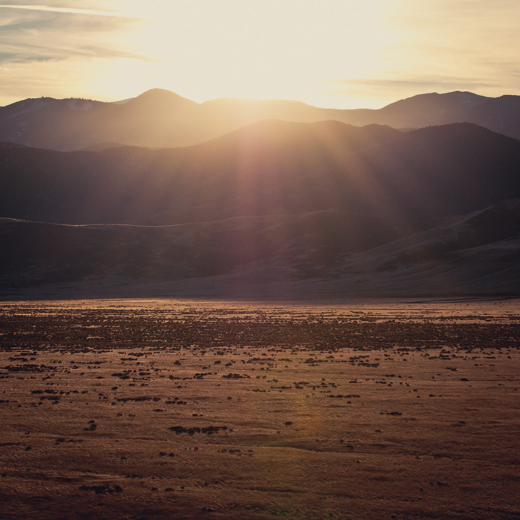
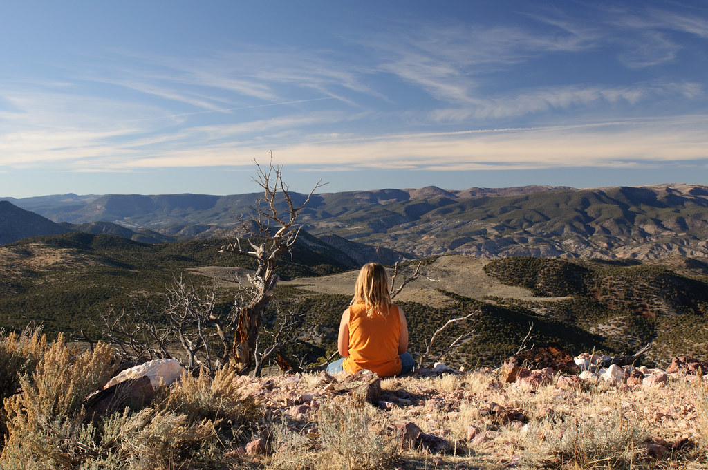
Related Photos:
319/365
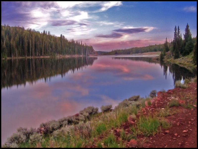
Manning Meadows Reservoir
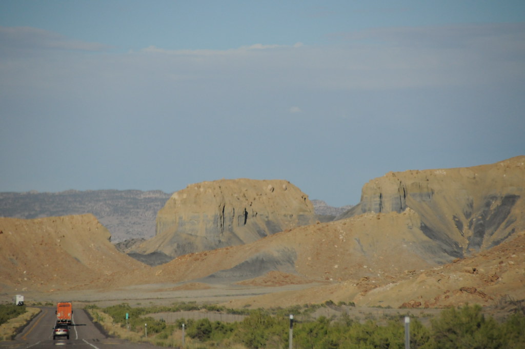
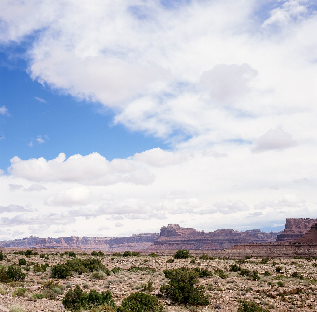
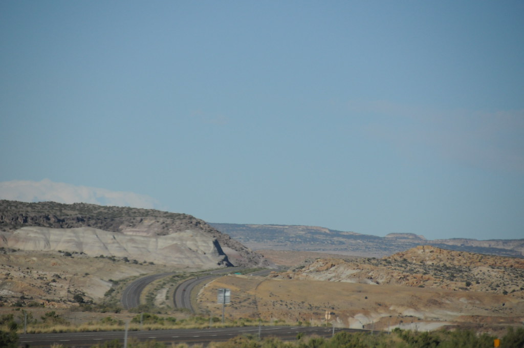
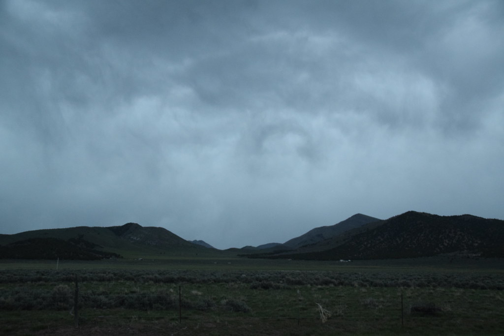
Central Utah

Central Utah
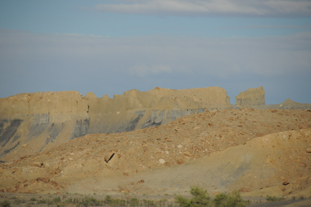
Central Utah
Central Utah
Middle of Nowhere, Utah

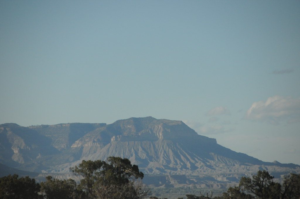
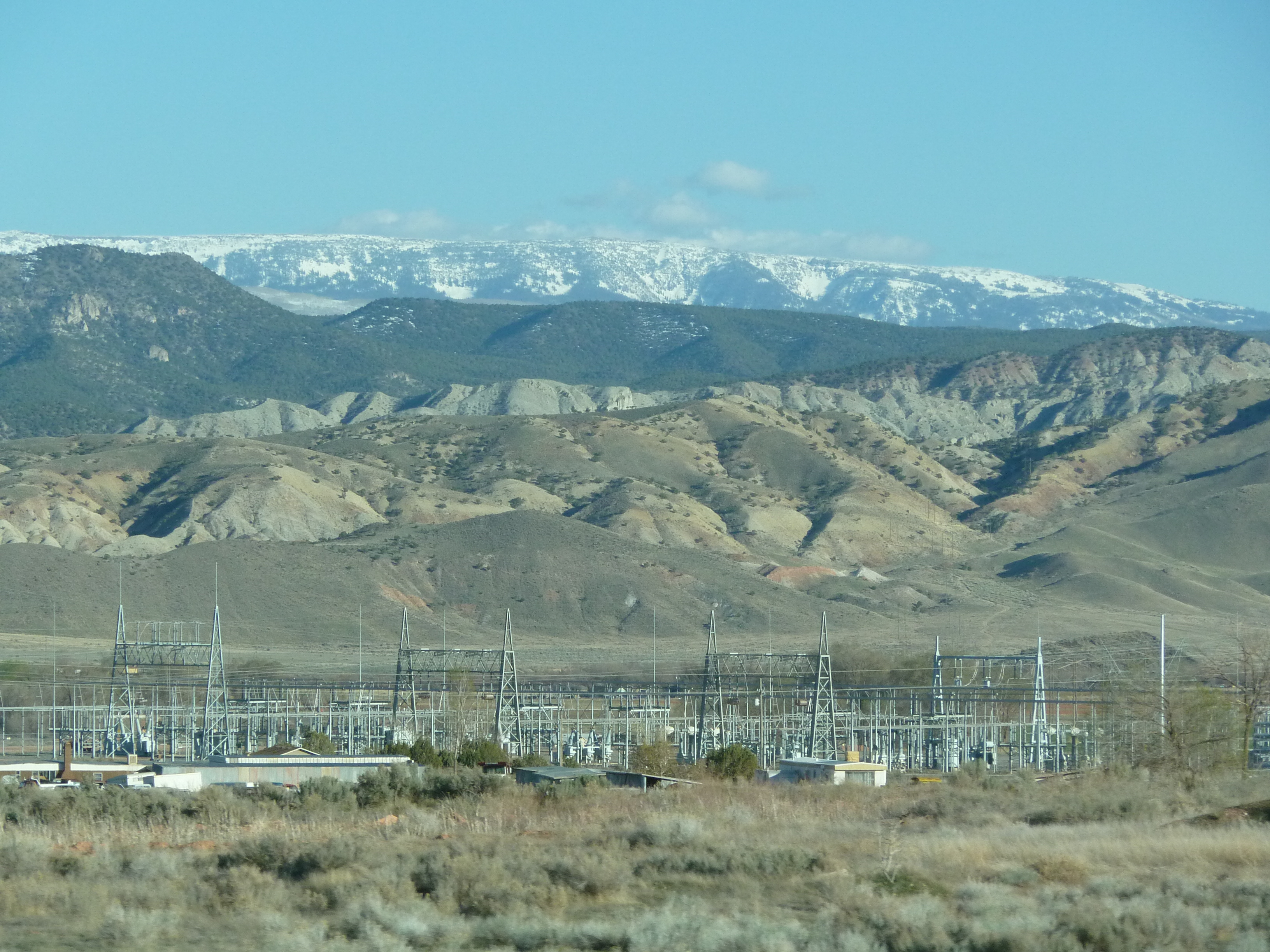
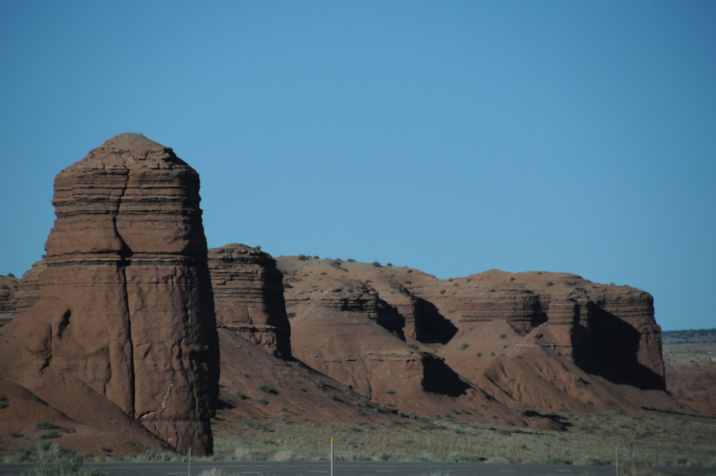
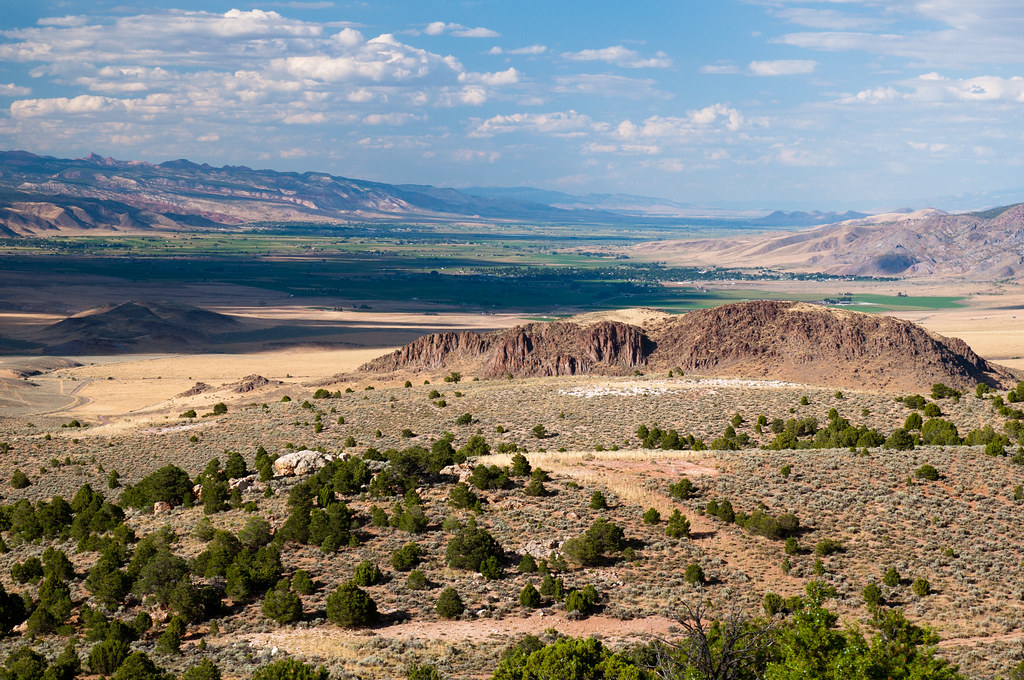
View of Monroe Mountain, Central Valley, Utah
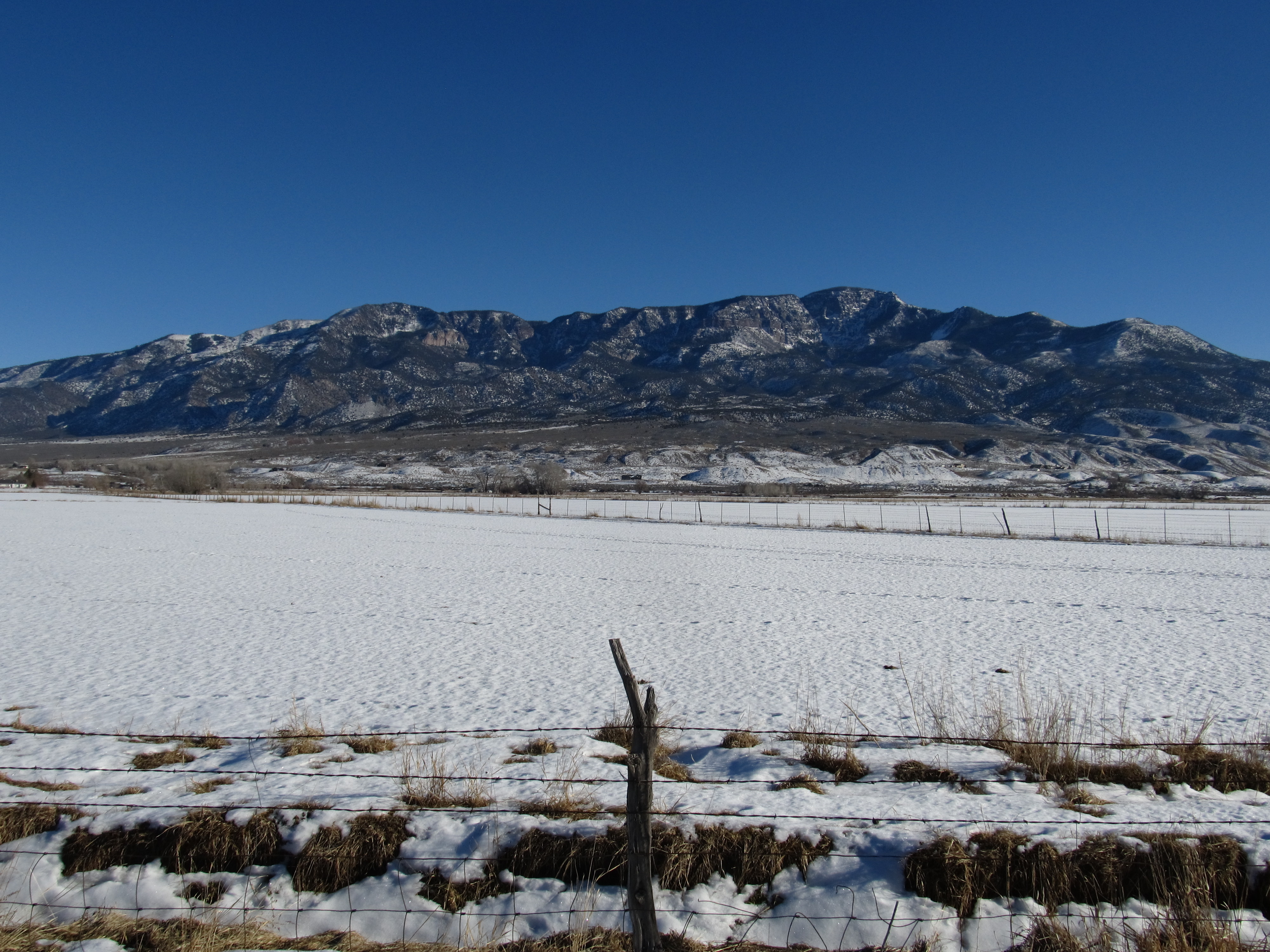
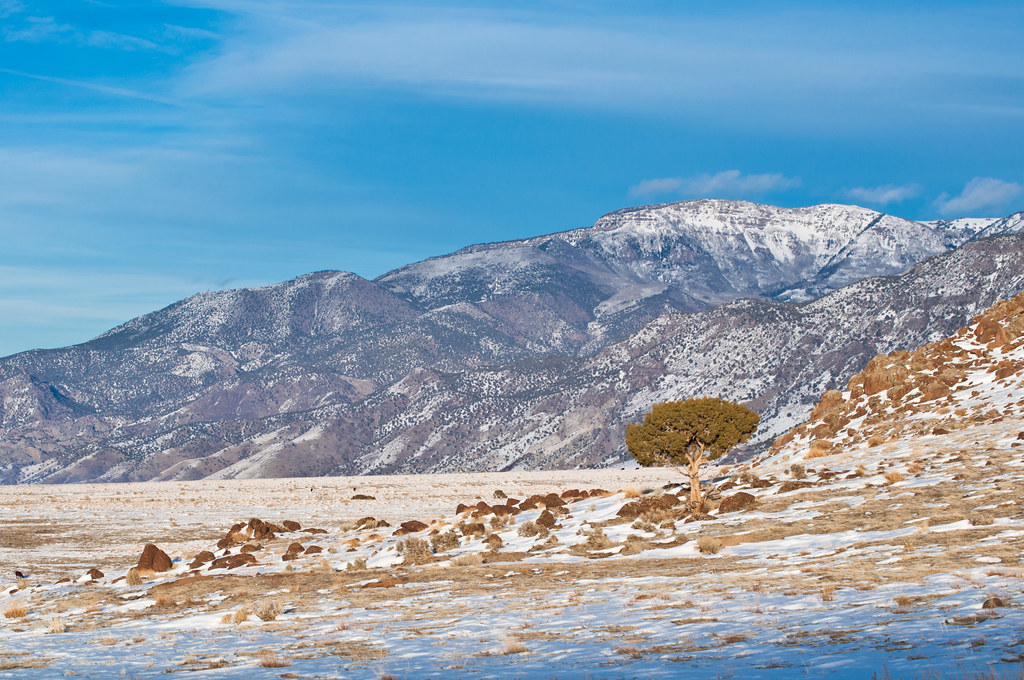
View of Cove Mountain, Central Valley, Utah
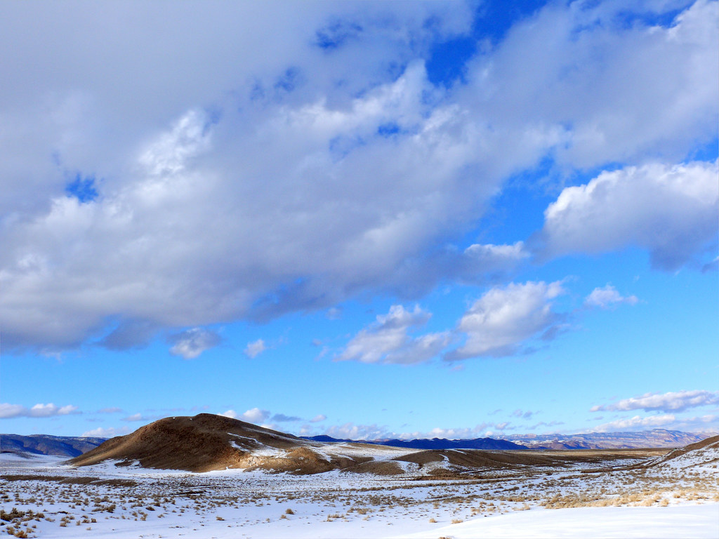
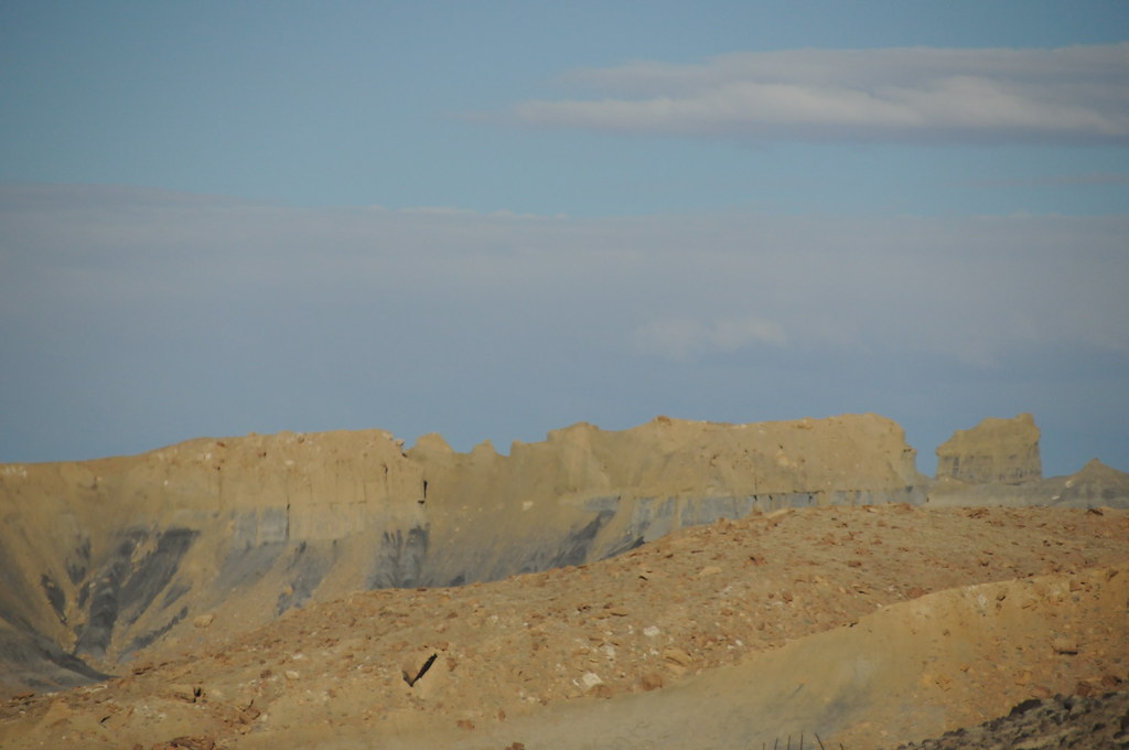
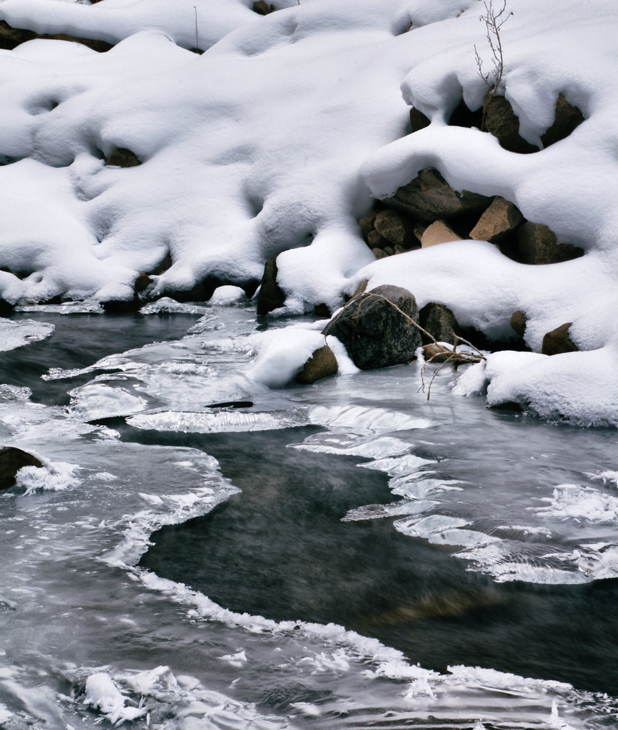
Desert snowscape...
Central Utah
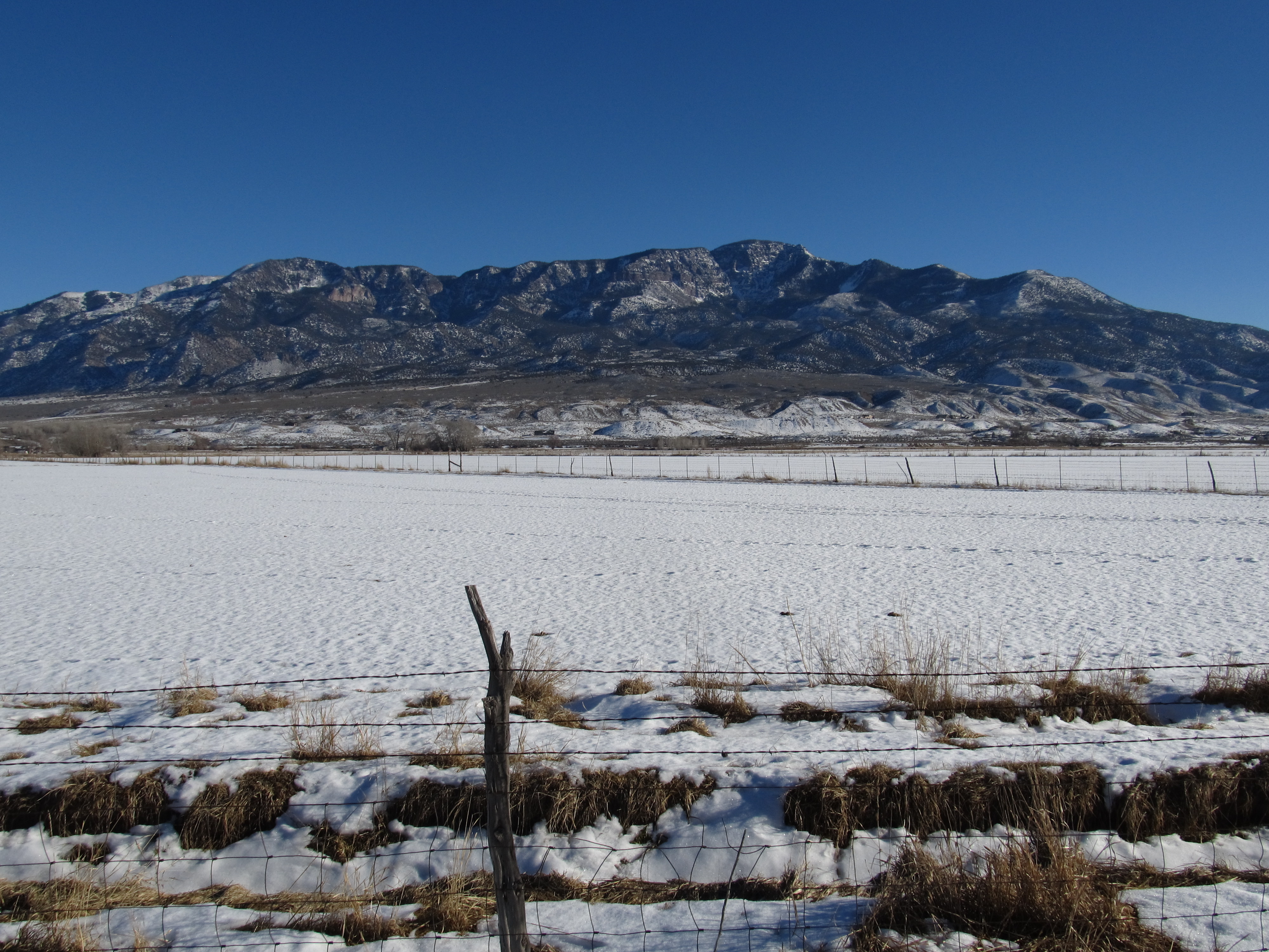
View of Cove Mountain, Central Valley, Utah
Central Utah
Central Utah
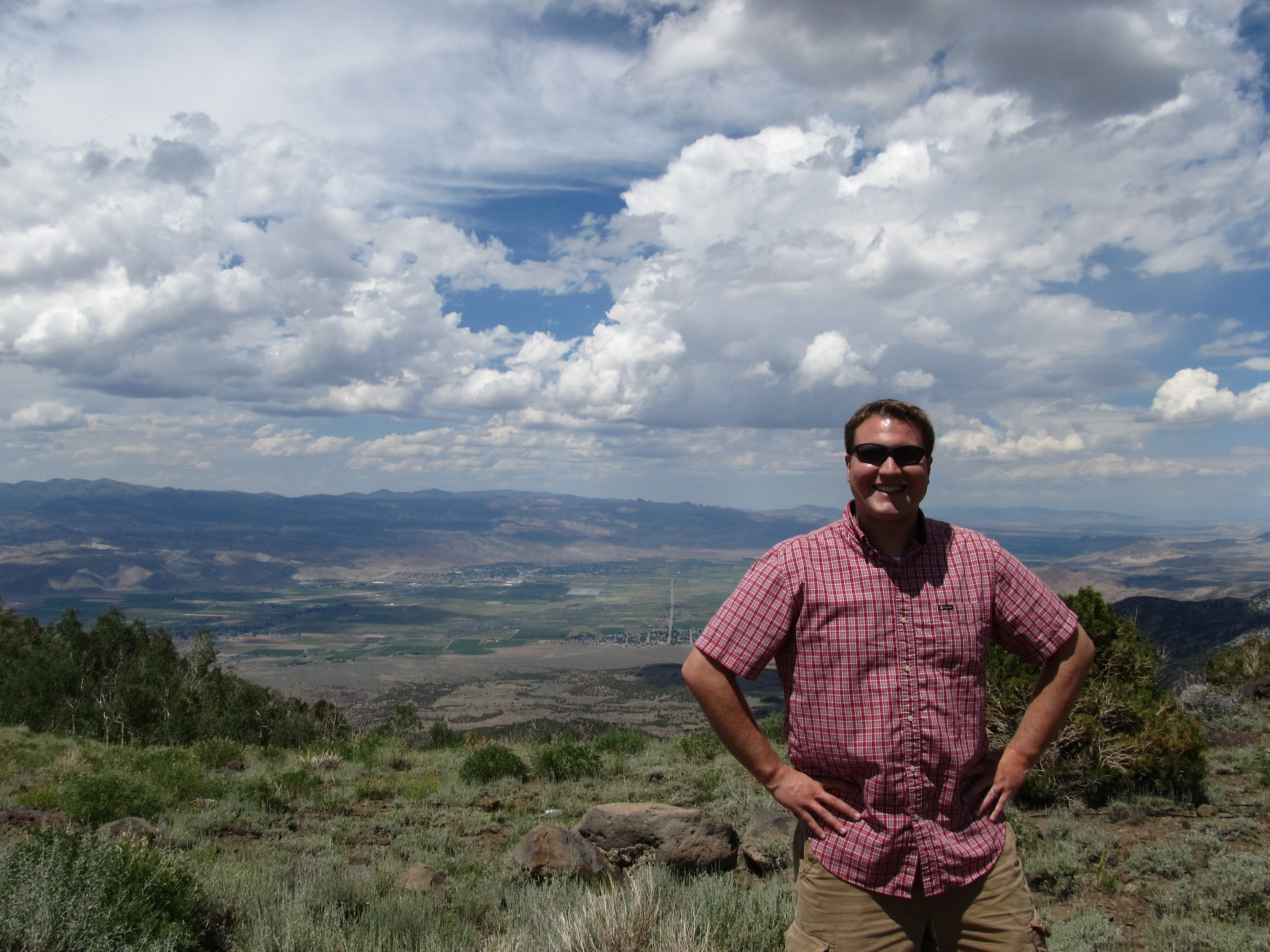
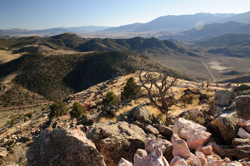
Ken, Hike Between Cove Mountain and Hand Fork Canyon, Near Monroe, Utah

70 views
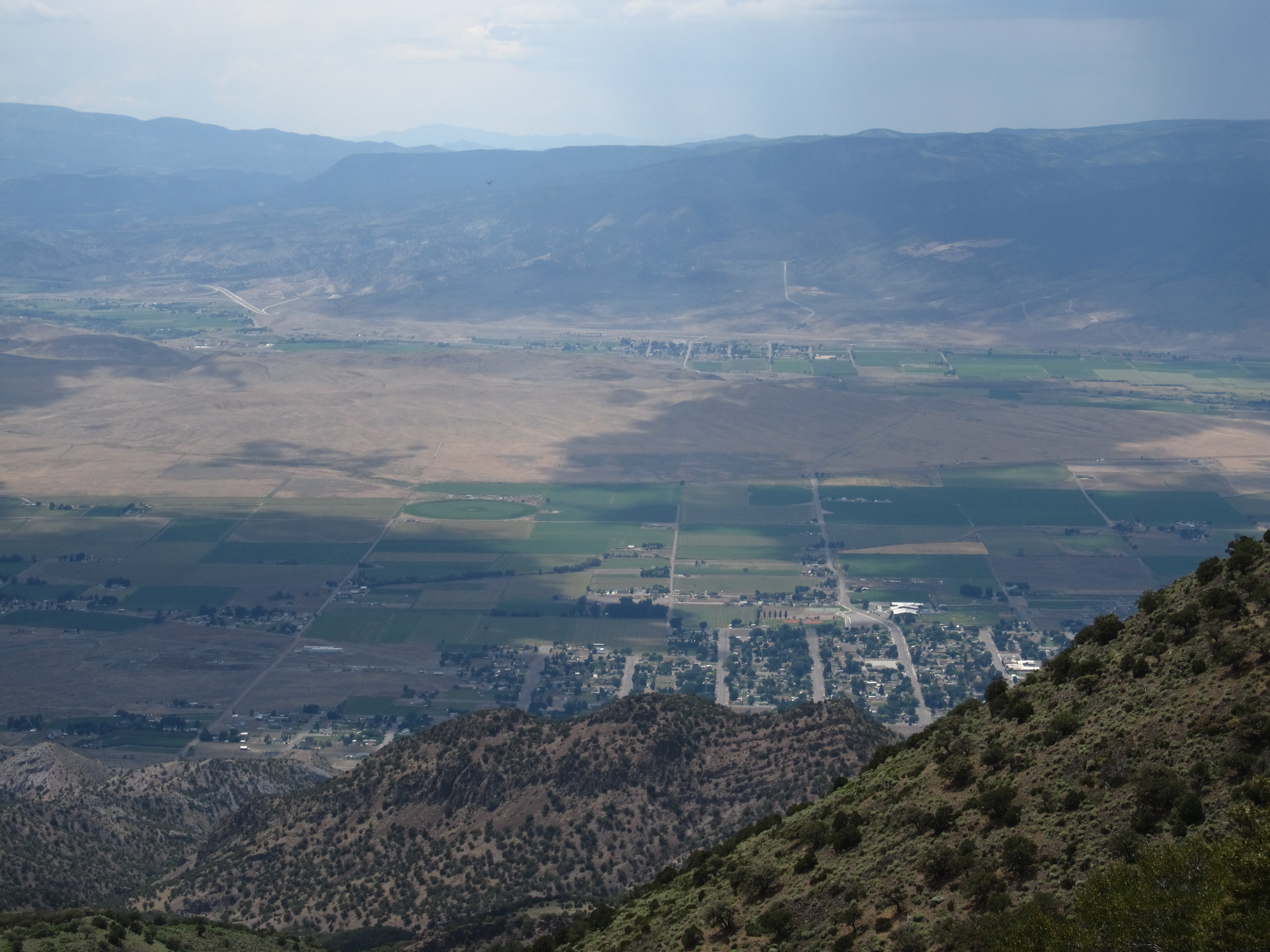
View of Monroe, Utah, Hike Between Cove Mountain and Left Hand Fork Canyon, Near Monroe, Utah
70 views
Central Utah
Central Utah
Central Utah
75/365
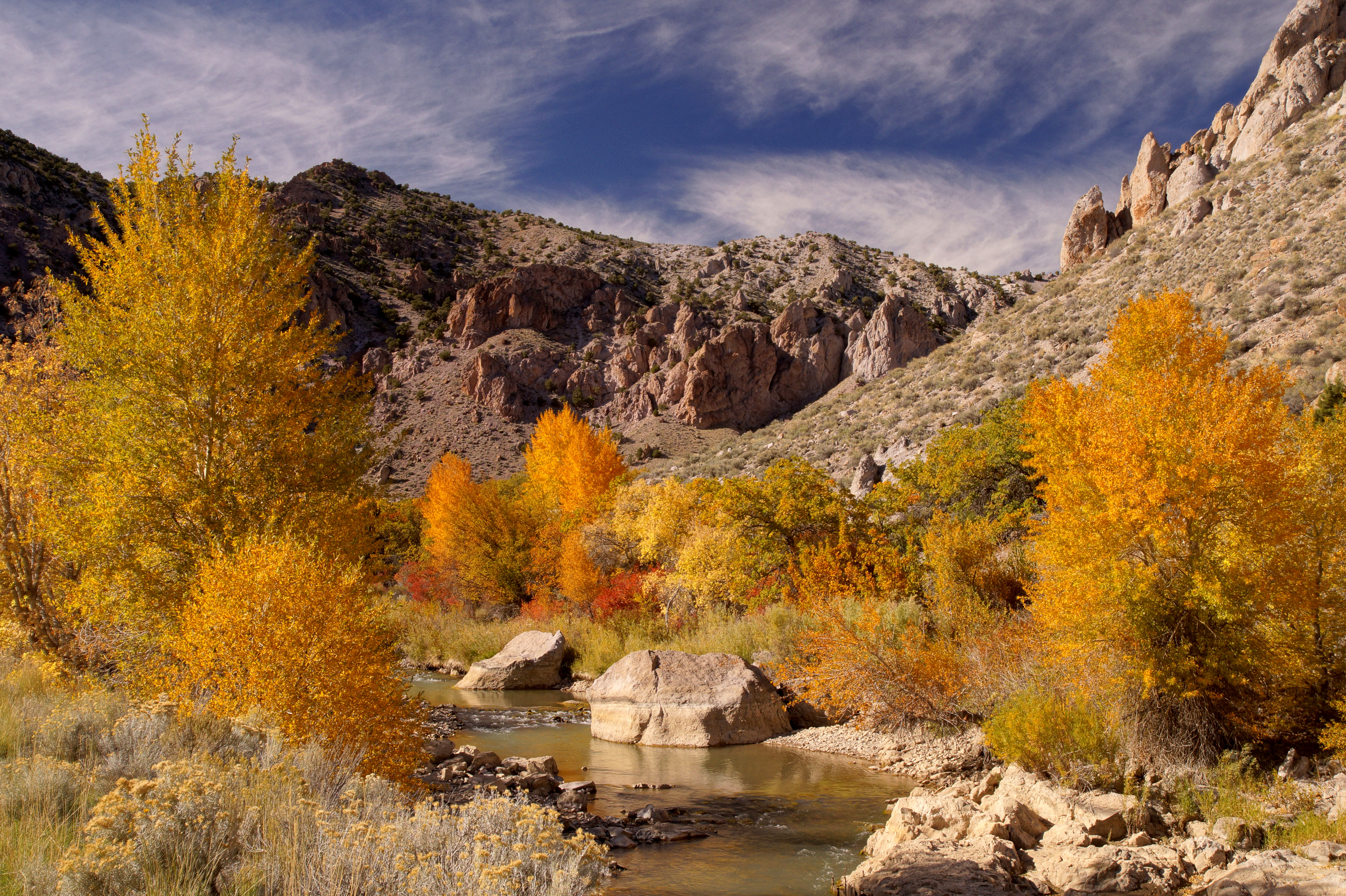
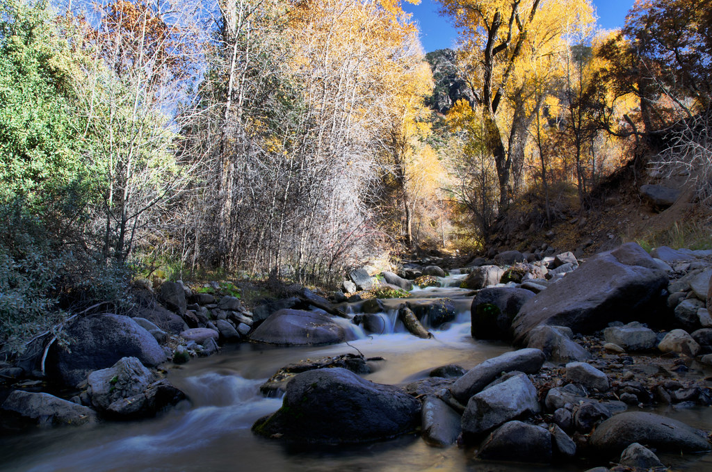
Fall in Utah
Zoro Wuz Here - 234/365
8/365
23/365
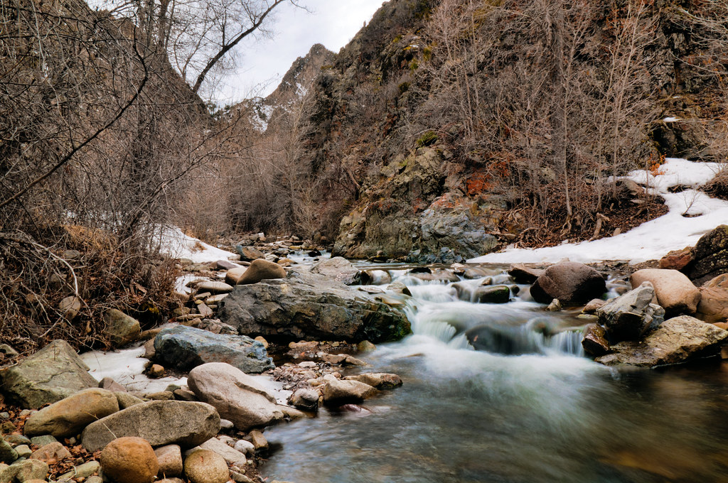
Monrovian Park
20111021-DSC_0358
20111021-DSC_0368

Road Trip 201208280035
20160424 192217 1S

Poop Tree Sunset
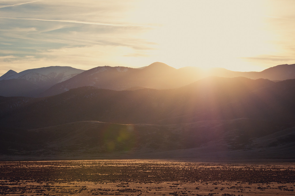
Poverty Sunset
208/365
Marysvale Mining District
Poverty Sunset

Landscape_080114_LR-12.jpg

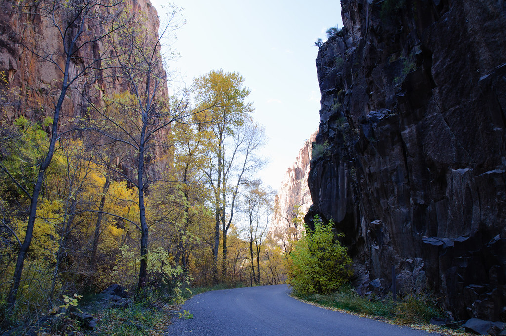
Columnar Joints
The end of our hike
The end of our hike
Topographic Map of Monroe, UT, USA
Find elevation by address:

Places in Monroe, UT, USA:
Places near Monroe, UT, USA:
23 E S, Monroe, UT, USA
105 S 200 E
West Center Street
Jvph+xh
447 E 800 S
Pvxw+rv
Sevier
Richfield
1000 N Main St
Sam Stowe Campground
Marysvale
Castle Rock Campground
Sigurd
UT-24, Sigurd, UT, USA
Koosharem Road
Sorenson's Ranch School
Koosharem
55 N, Sigurd, UT, USA
Utah 24
Aurora
Recent Searches:
- Elevation of Calais Dr, Del Mar, CA, USA
- Elevation of Placer Mine Ln, West Jordan, UT, USA
- Elevation of E 63rd St, New York, NY, USA
- Elevation of Elk City, OK, USA
- Elevation of Erika Dr, Windsor, CA, USA
- Elevation of Village Ln, Finleyville, PA, USA
- Elevation of 24 Oakland Rd #, Scotland, ON N0E 1R0, Canada
- Elevation of Deep Gap Farm Rd E, Mill Spring, NC, USA
- Elevation of Dog Leg Dr, Minden, NV, USA
- Elevation of Dog Leg Dr, Minden, NV, USA