Elevation of E S, Monroe, UT, USA
Location: United States > Utah > Sevier County > Monroe >
Longitude: -112.11156
Latitude: 38.6185771
Elevation: 1677m / 5502feet
Barometric Pressure: 83KPa
Elevation Map:
Satellite Map:
Related Photos:
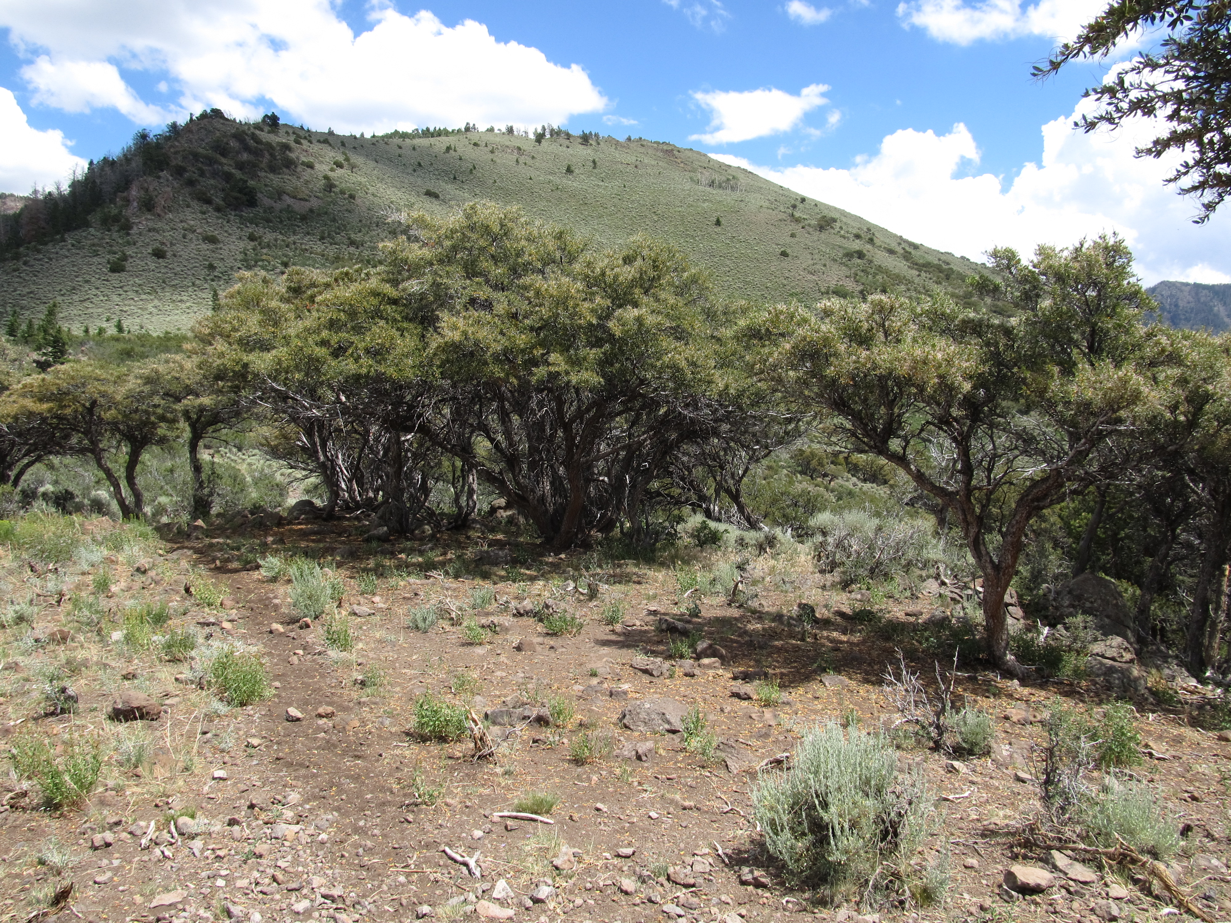
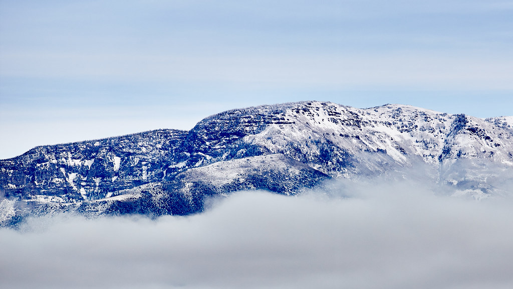
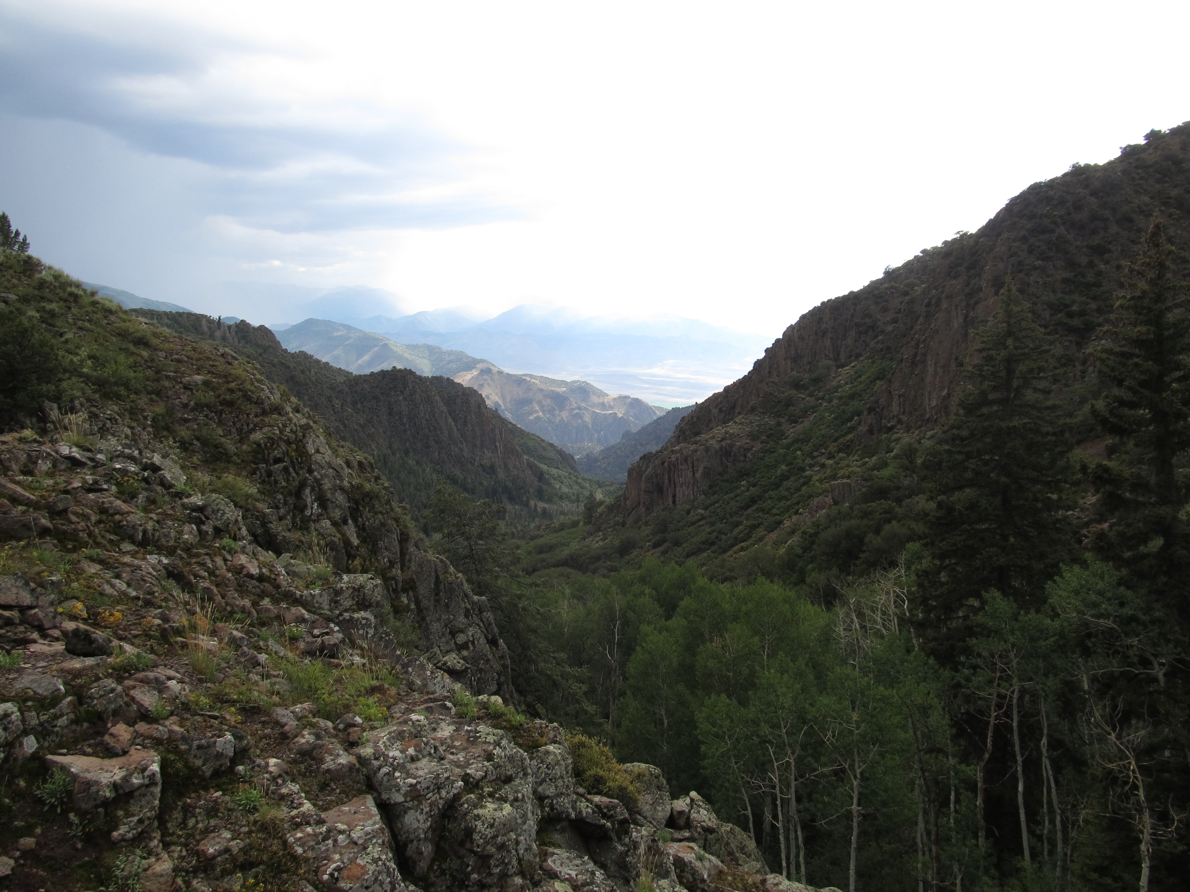
Hike Between Cove Mountain and Hand Fork Canyon, Near Monroe, Utah
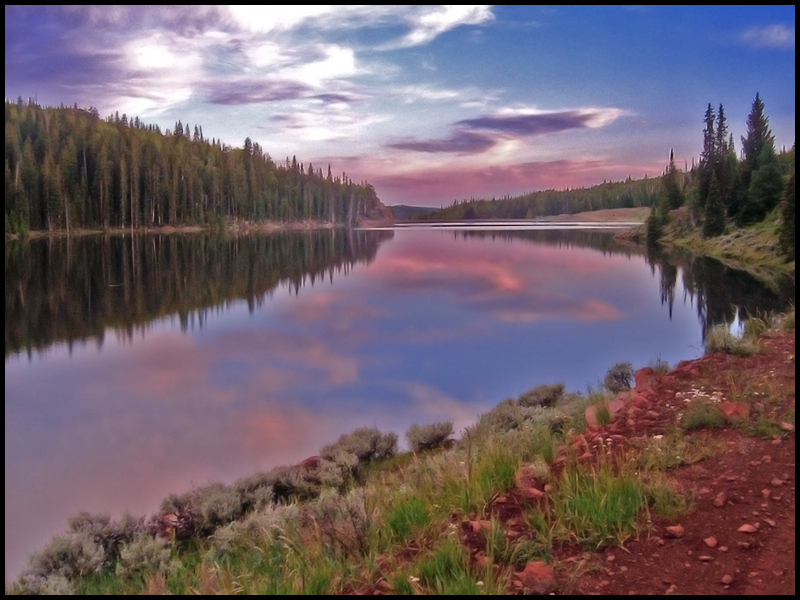
Manning Meadows Reservoir
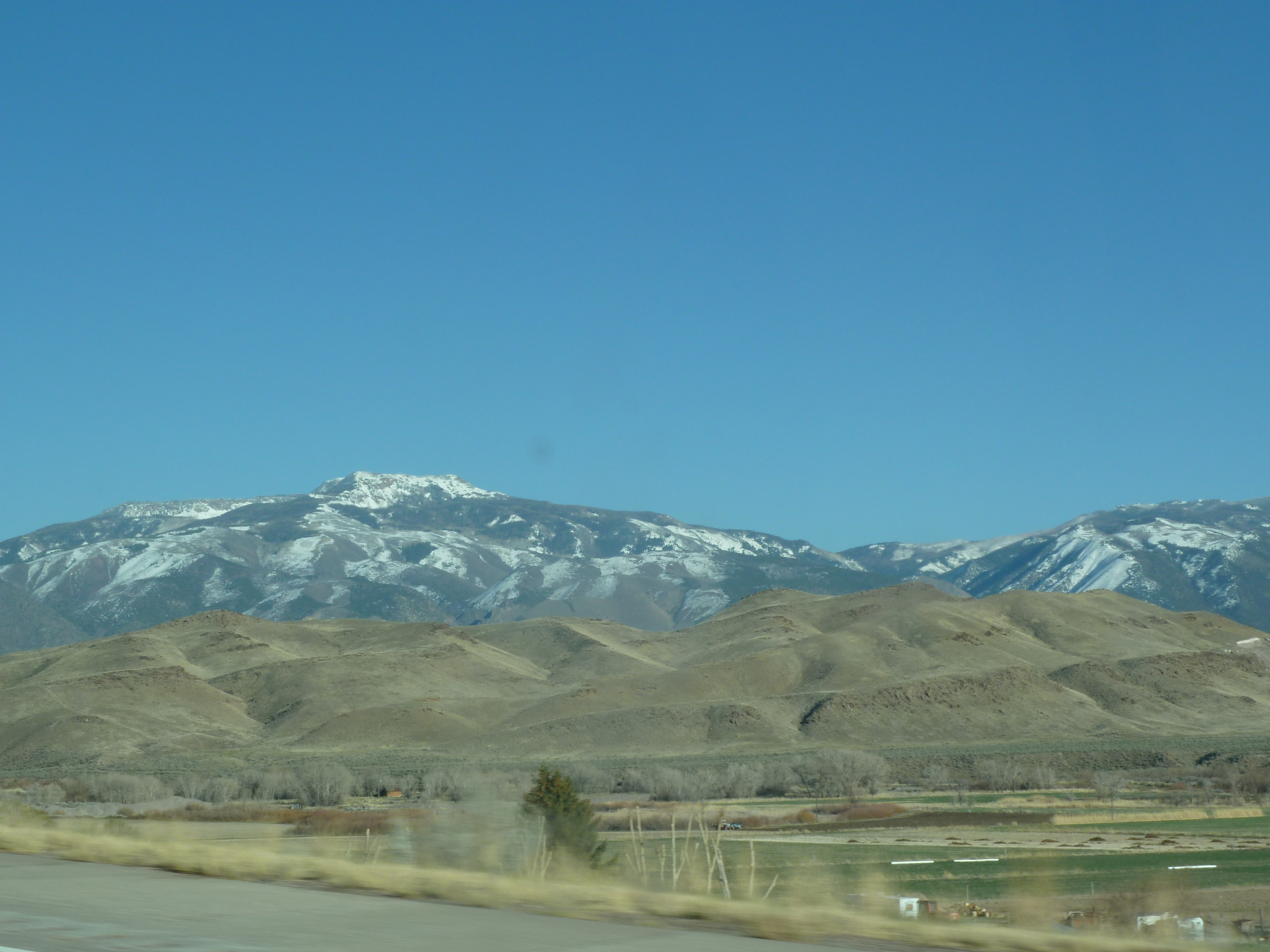
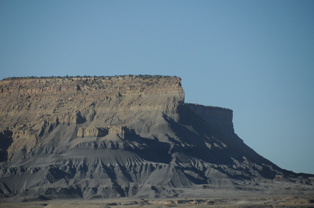
Central Utah
Central Utah

70 views
70 views
70 views
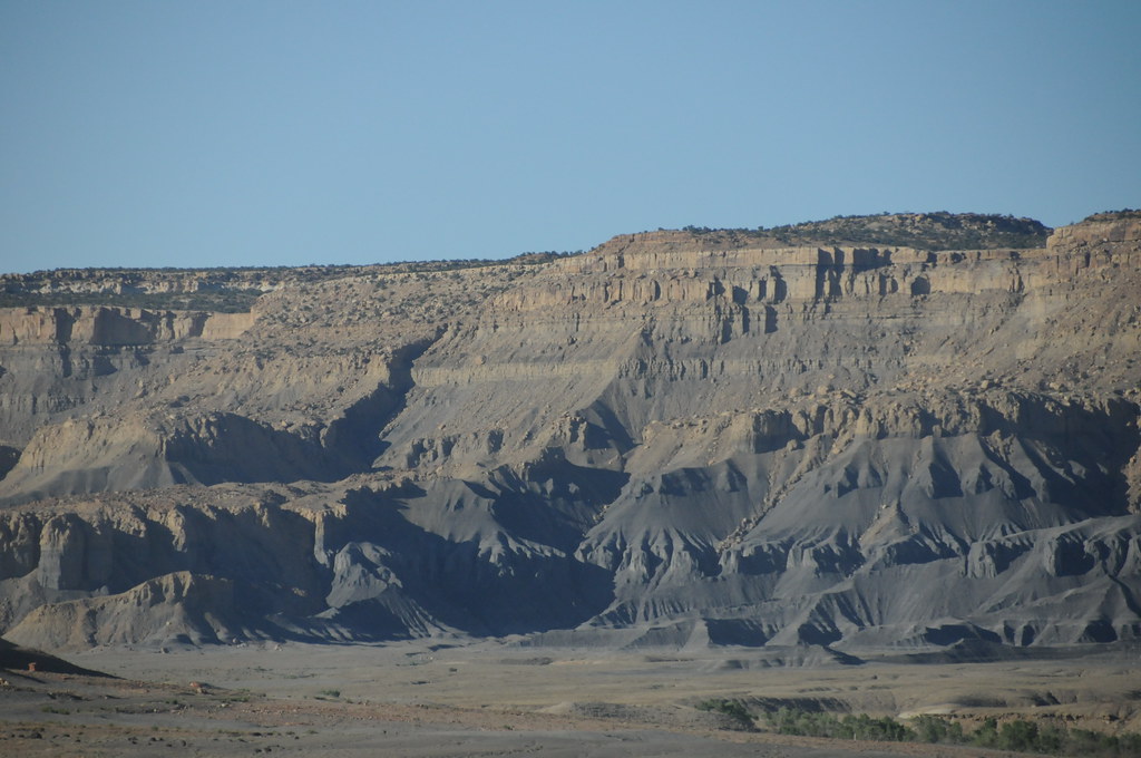
Central Utah
Central Utah
Central Utah

Central Utah
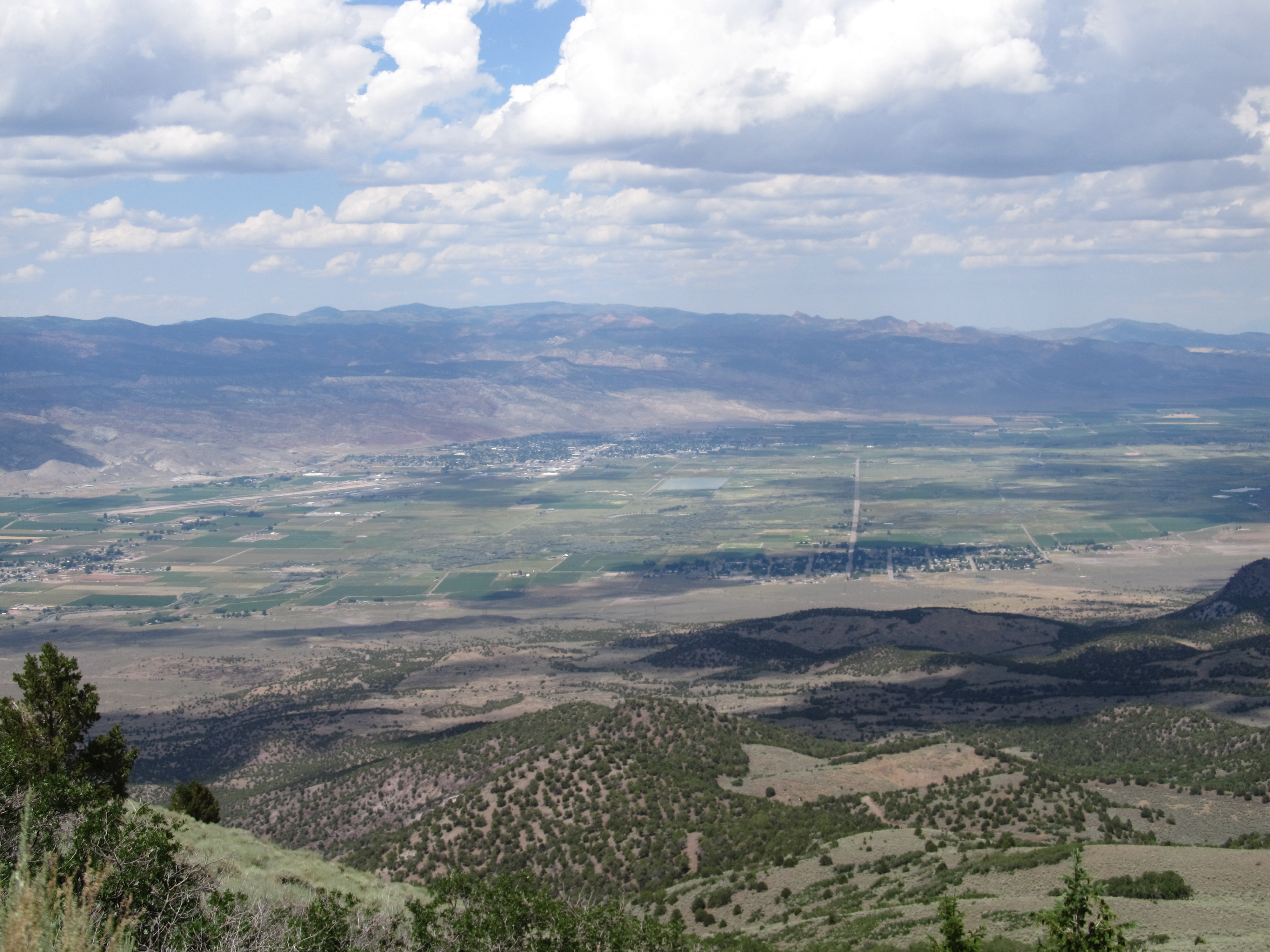
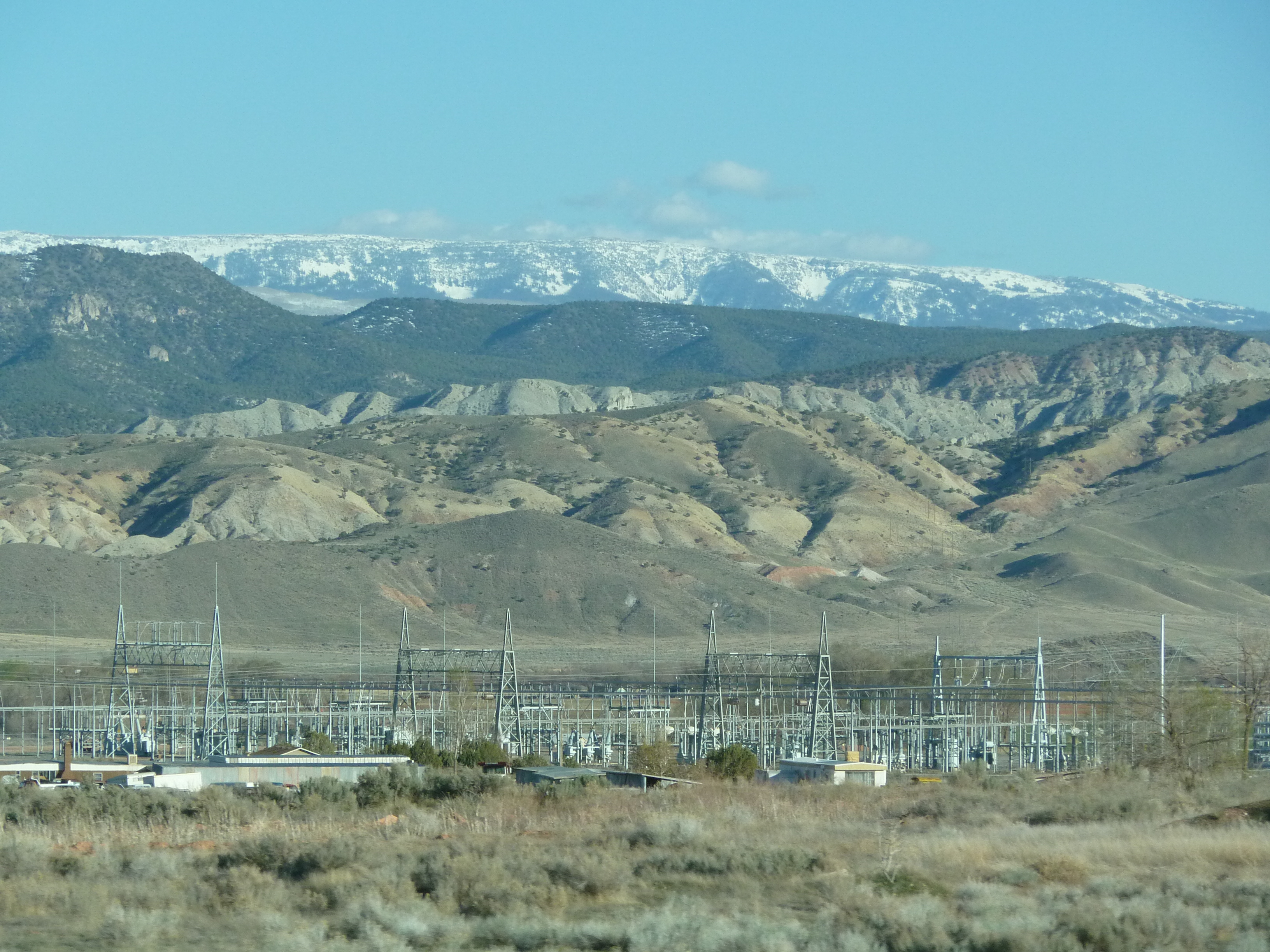
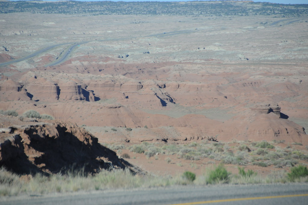
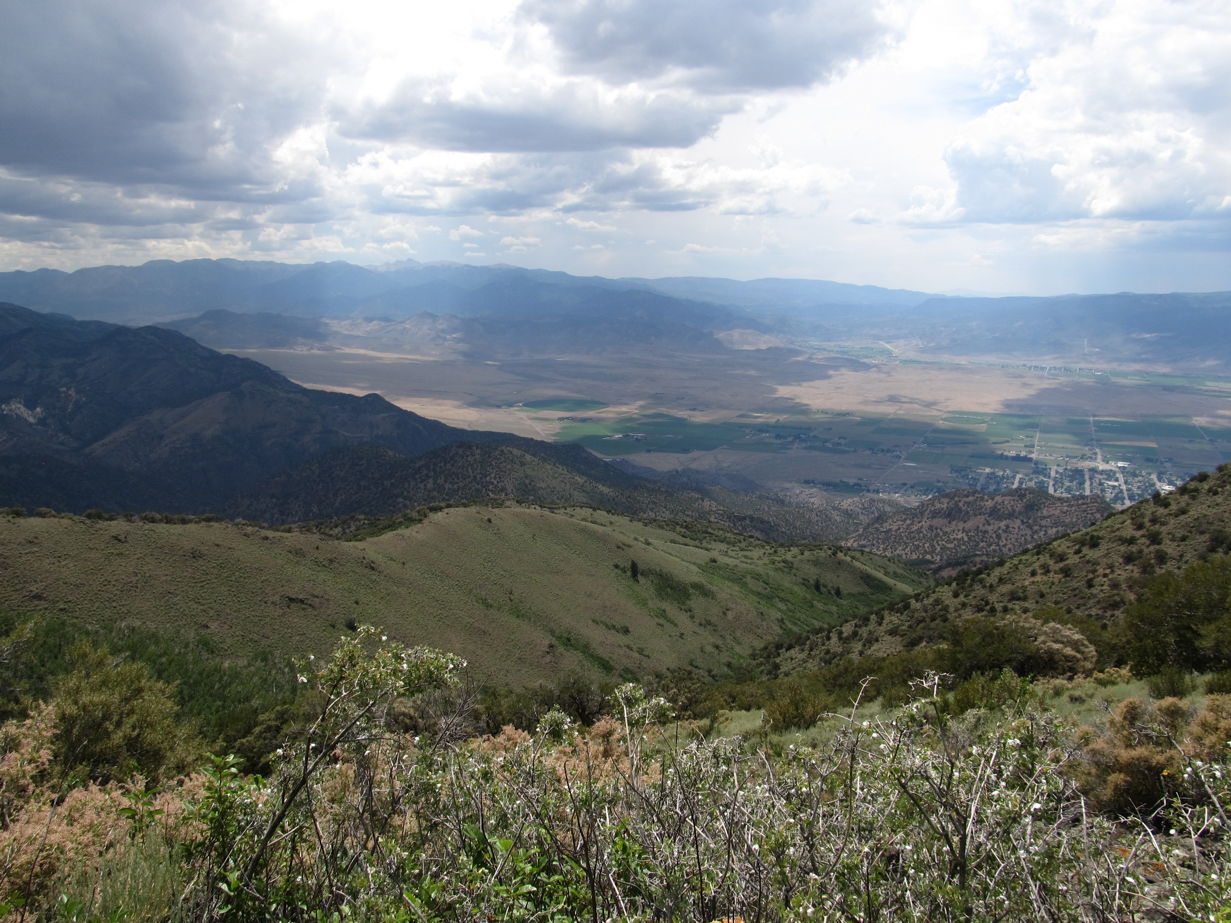
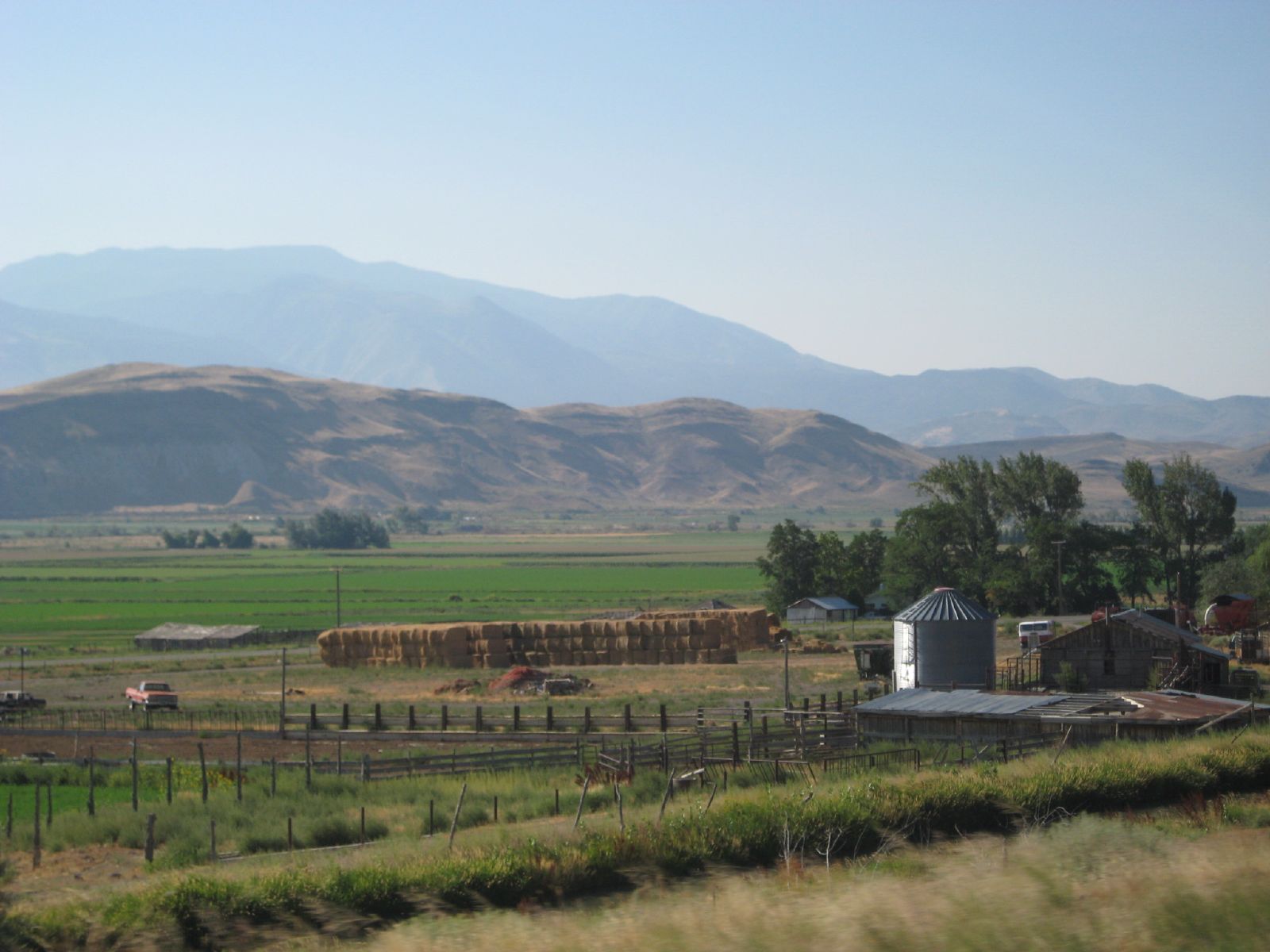
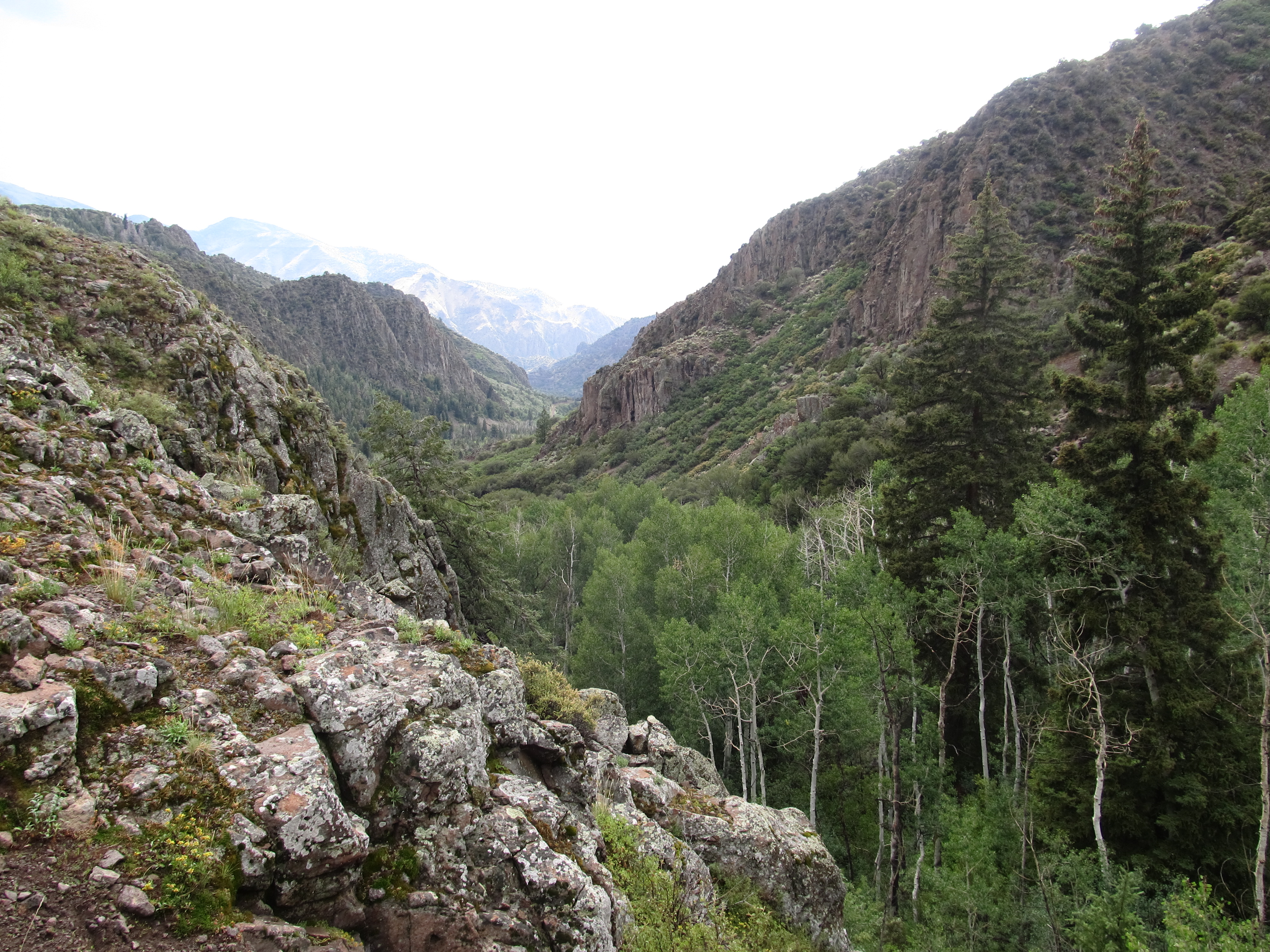
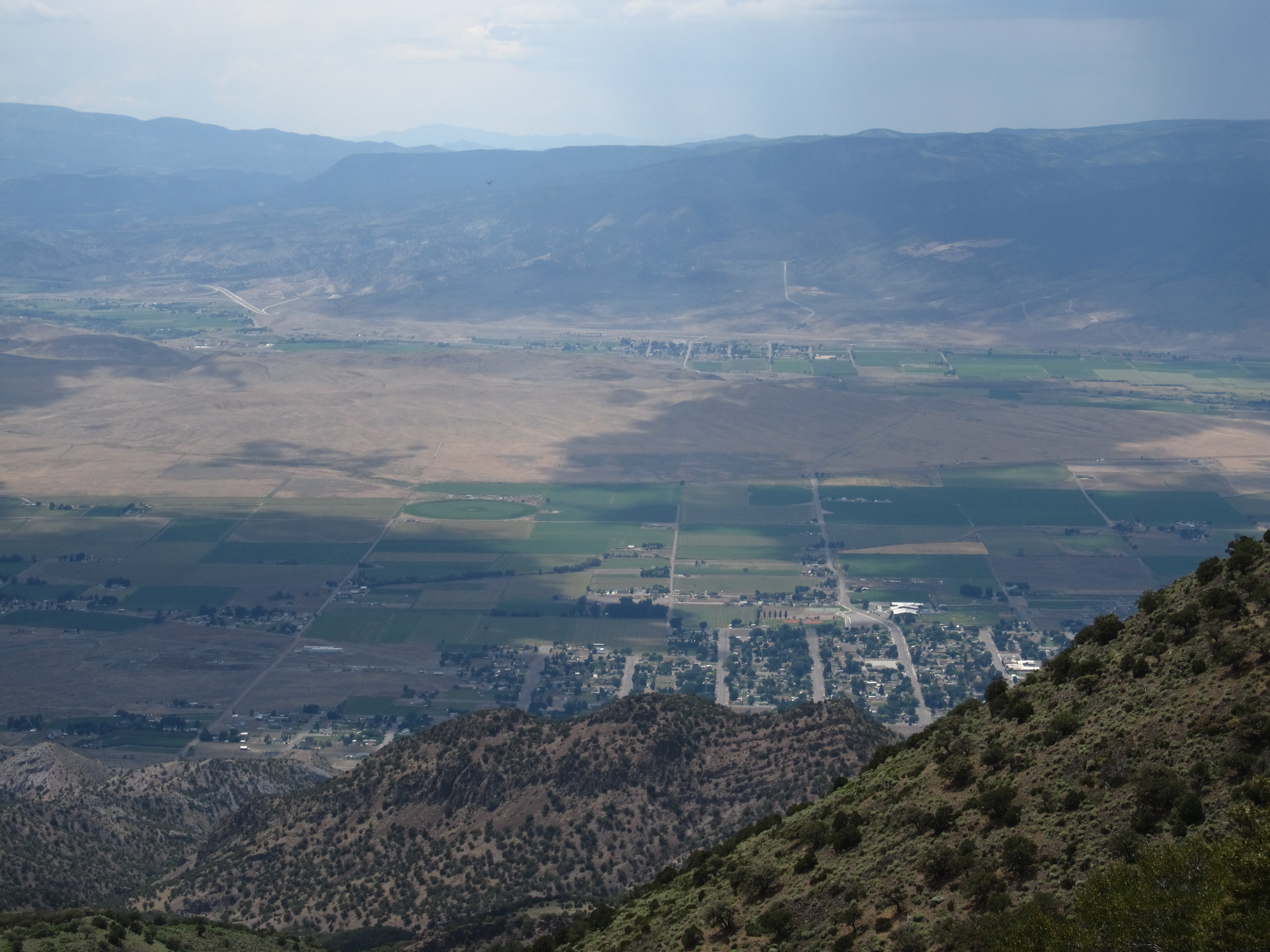
View of Sevier Valley, Near Cove Mountain, Utah
Central Utah
Central Utah
Central Utah

Central Utah
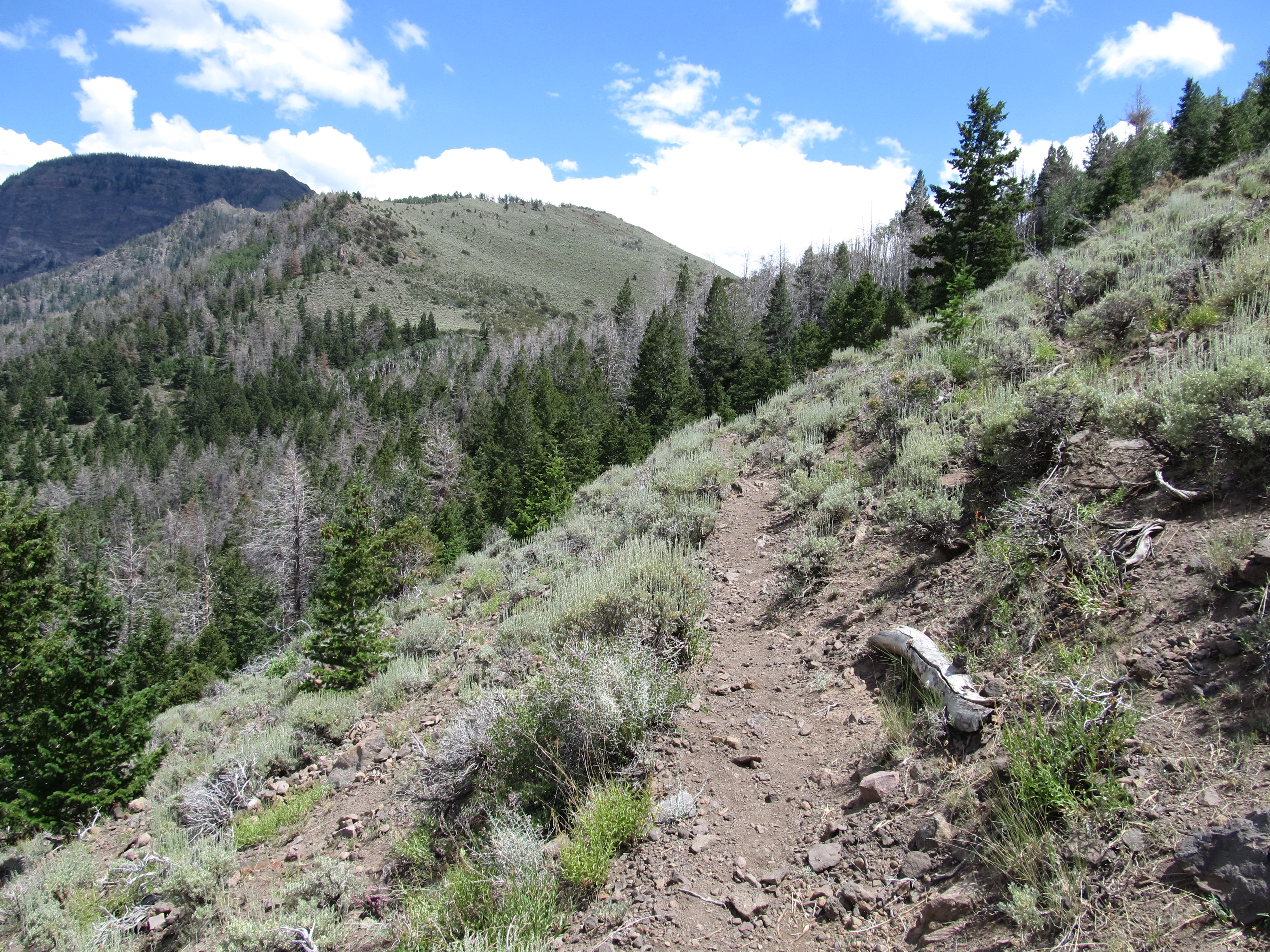
Hike Between Cove Mountain and Hand Fork Canyon, Near Monroe, Utah
Hike Between Cove Mountain and Hand Fork Canyon, Near Monroe, Utah
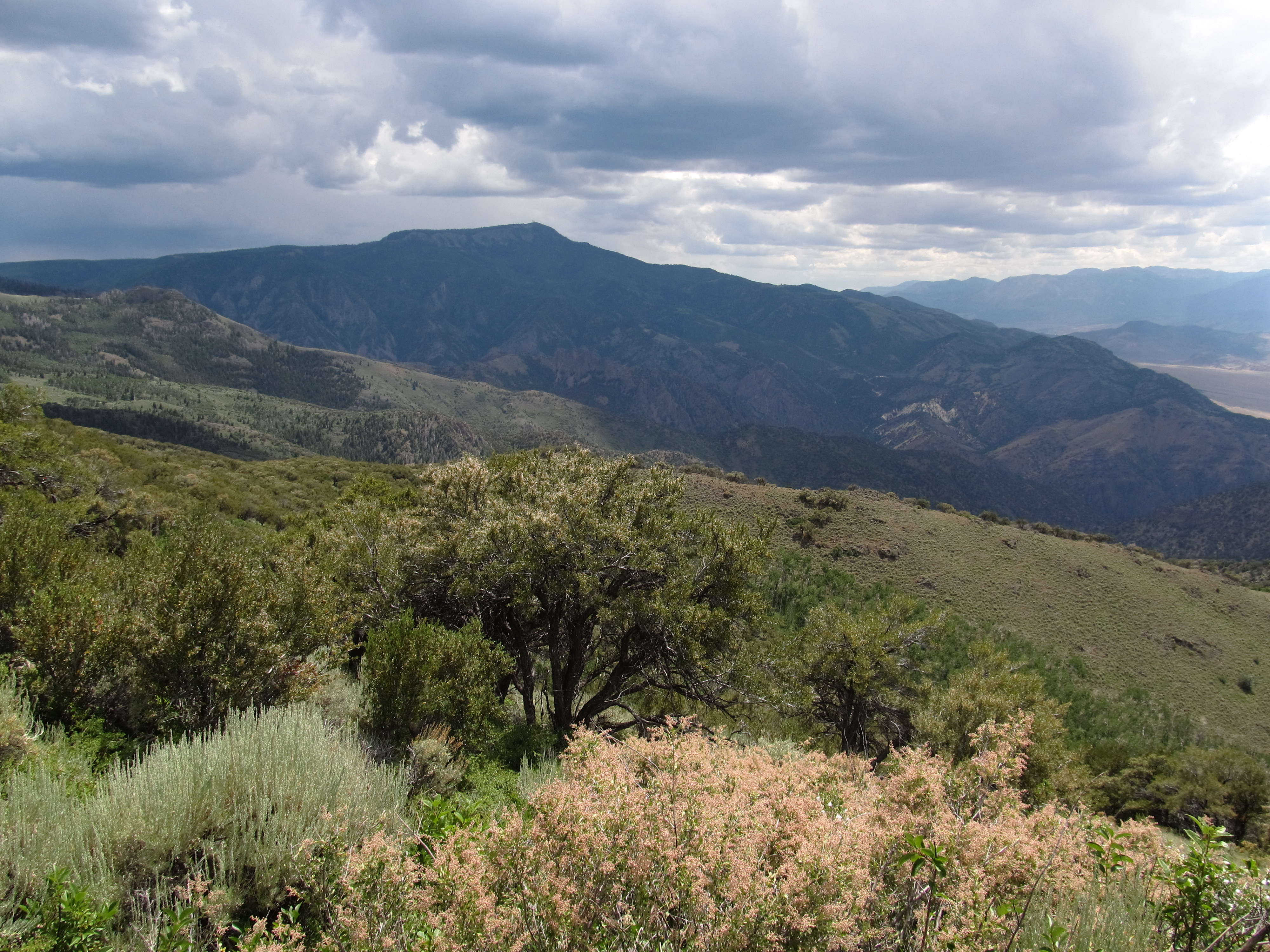
Hike Between Cove Mountain and Hand Fork Canyon, Near Monroe, Utah
SAN-NYC (41)

Hike Between Cove Mountain and Hand Fork Canyon, Near Monroe, Utah
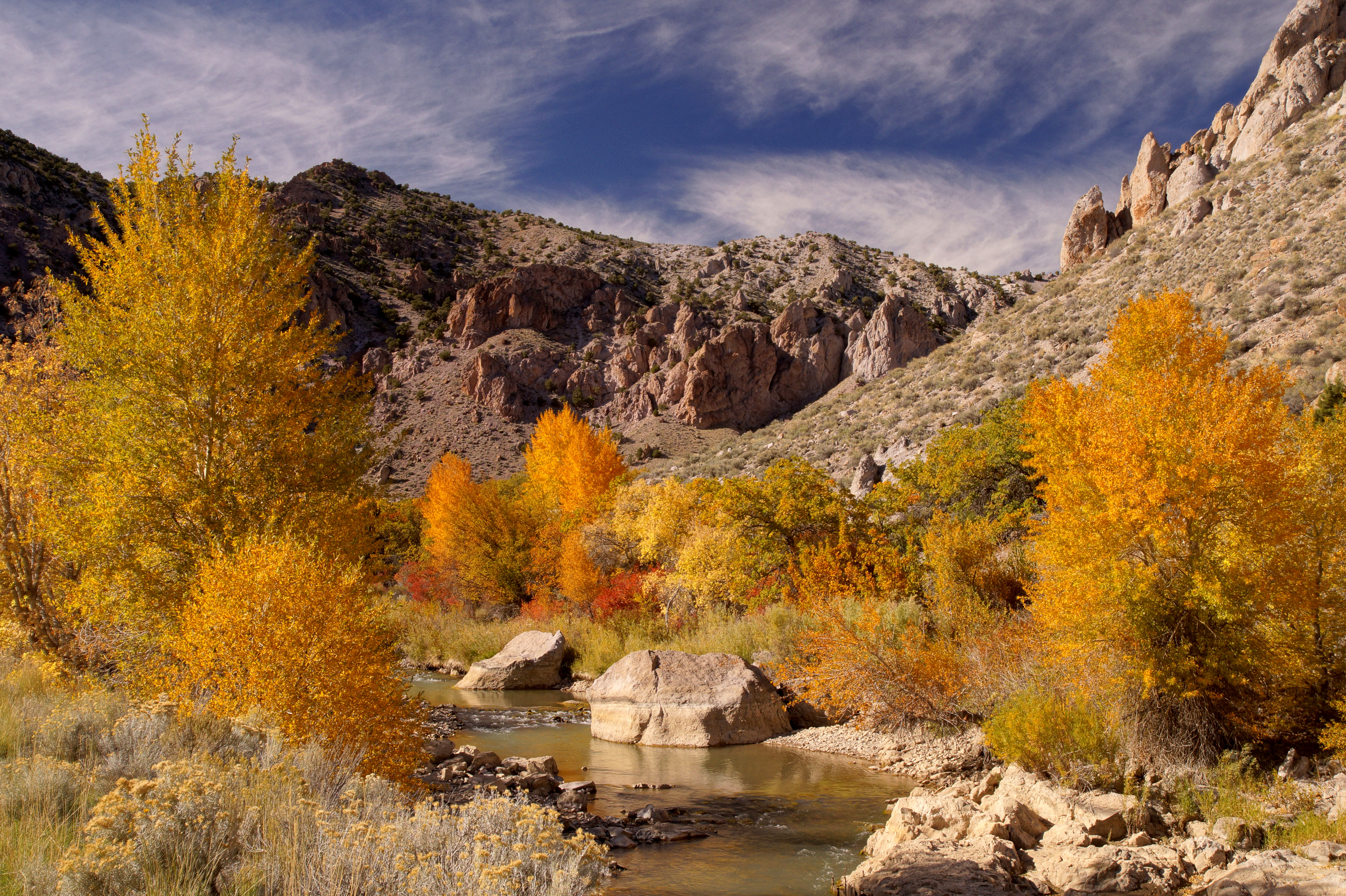
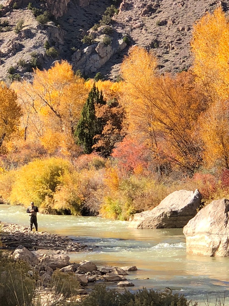
Fall in Utah
Fishlake Nat. Forest
Fishlake Nat. Forest
Fishlake Nat. Forest
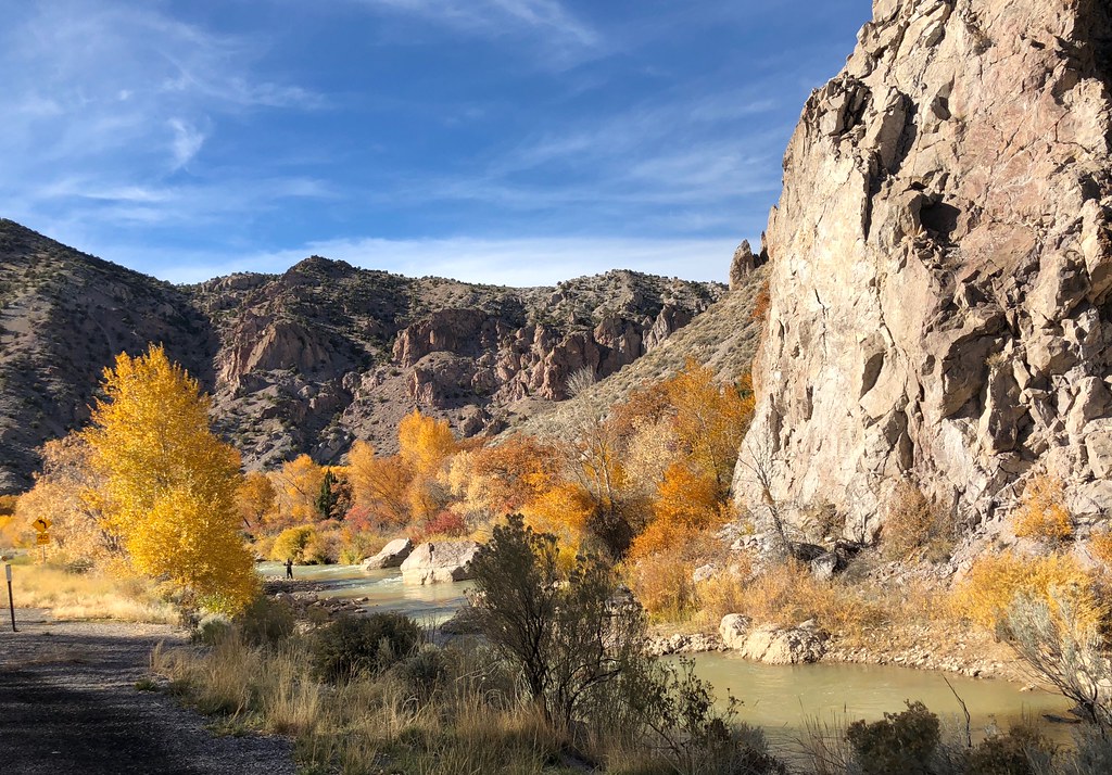
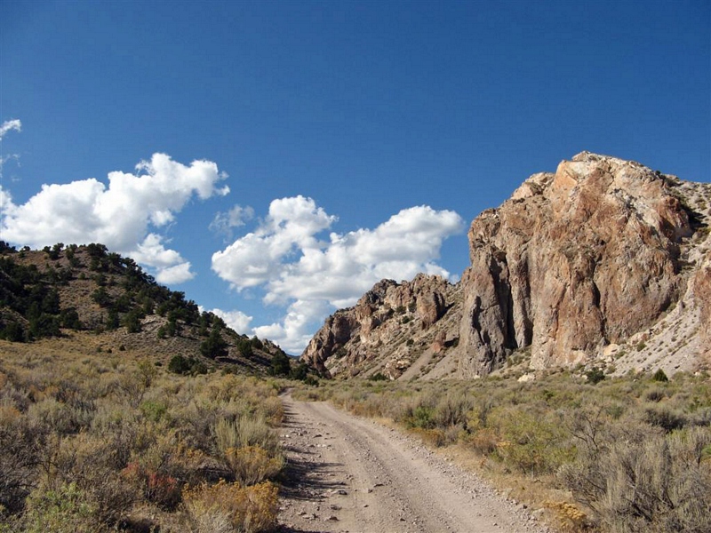
Rocky Canyon
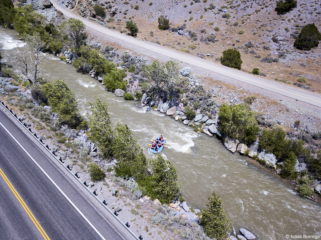
Rafters on the Sevier

Sunset Springs

Cove peak launch area
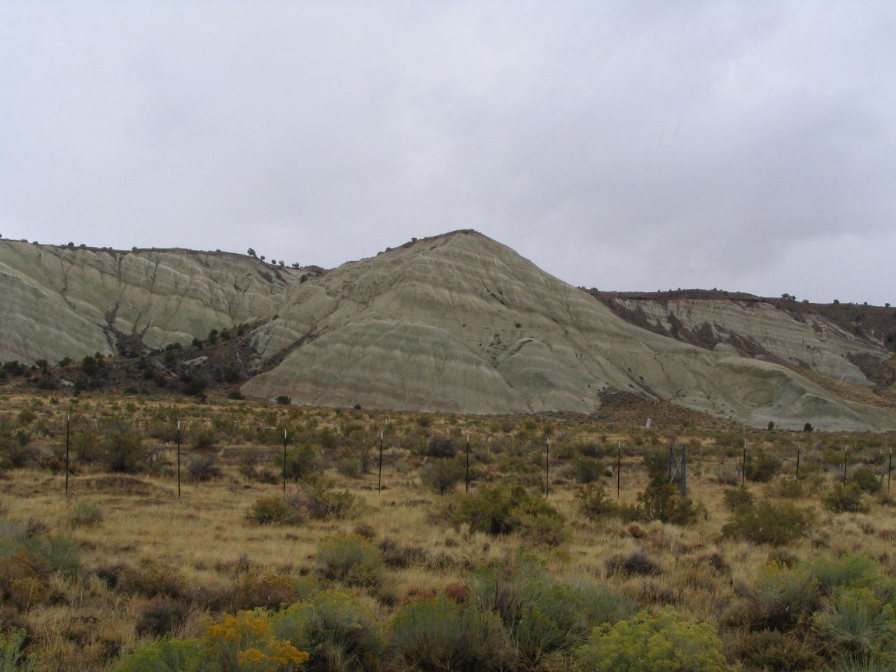
Entering Dry Wash

Columnar Joints
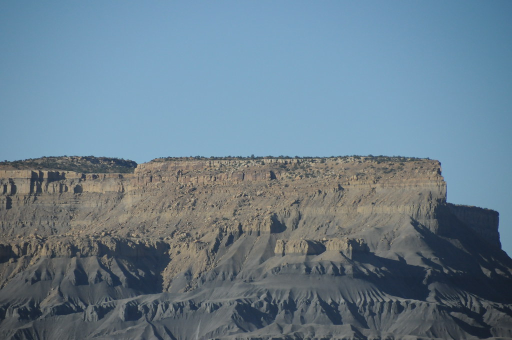
Monroe Peak - Utah
Man, Woman, Wild, Left Hand Fork Canyon, Near Monroe, Utah
Central Utah
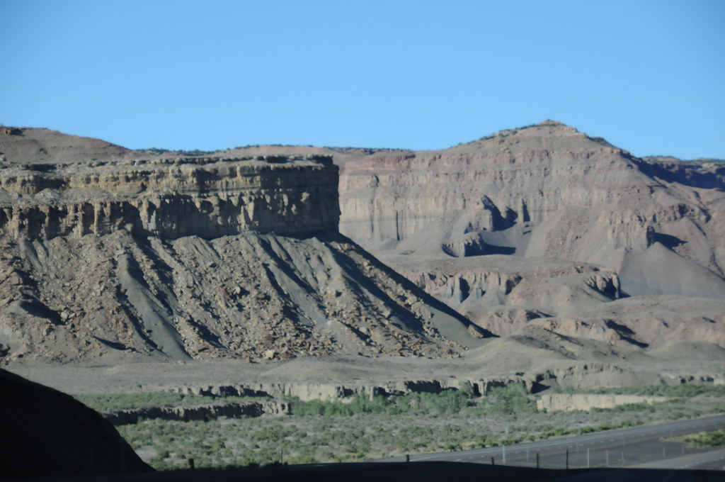
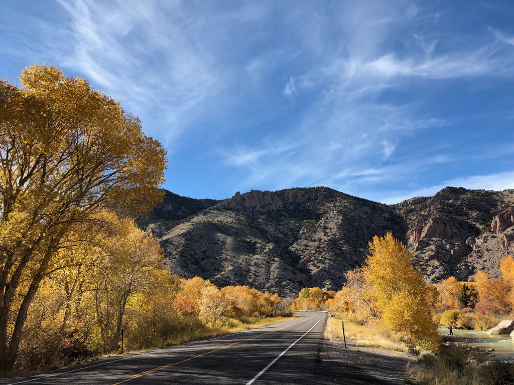
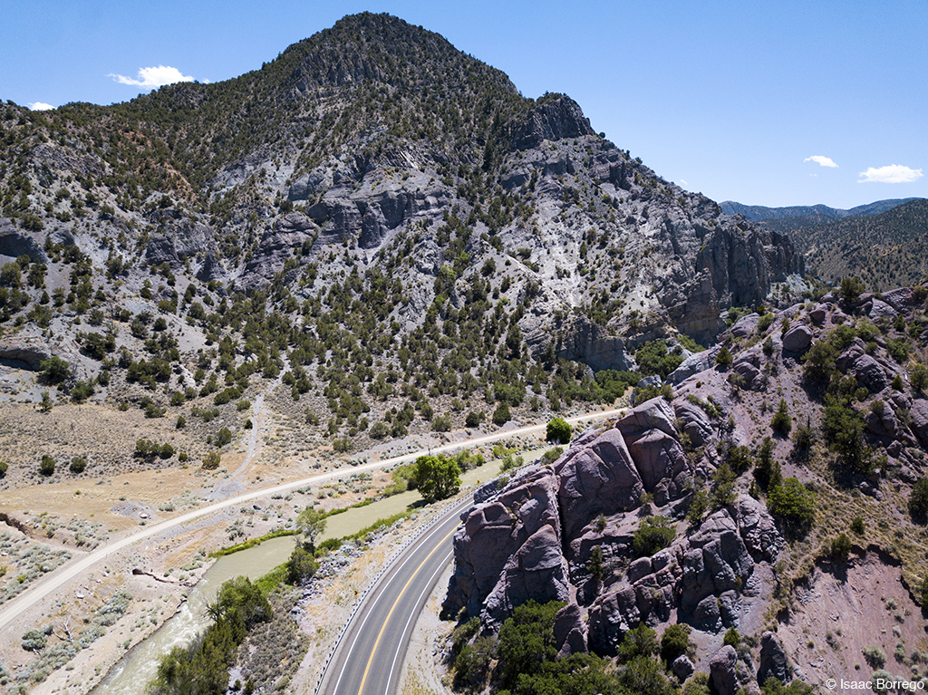
U.S. Route 89 Near Interstate 70, Utah
Man, Woman, Wild, Left Hand Fork Canyon, Near Monroe, Utah
View of Monroe, Utah, Hike Between Cove Mountain and Left Hand Fork Canyon, Near Monroe, Utah
Topographic Map of E S, Monroe, UT, USA
Find elevation by address:

Places near E S, Monroe, UT, USA:
105 S 200 E
Monroe
23 E S, Monroe, UT, USA
West Center Street
Jvph+xh
Pvxw+rv
Sevier
Richfield
1000 N Main St
Marysvale
Sam Stowe Campground
Koosharem Road
Castle Rock Campground
Sorenson's Ranch School
Koosharem
Sigurd
UT-24, Sigurd, UT, USA
55 N, Sigurd, UT, USA
Utah 24
Aurora
Recent Searches:
- Elevation of Calais Dr, Del Mar, CA, USA
- Elevation of Placer Mine Ln, West Jordan, UT, USA
- Elevation of E 63rd St, New York, NY, USA
- Elevation of Elk City, OK, USA
- Elevation of Erika Dr, Windsor, CA, USA
- Elevation of Village Ln, Finleyville, PA, USA
- Elevation of 24 Oakland Rd #, Scotland, ON N0E 1R0, Canada
- Elevation of Deep Gap Farm Rd E, Mill Spring, NC, USA
- Elevation of Dog Leg Dr, Minden, NV, USA
- Elevation of Dog Leg Dr, Minden, NV, USA