Elevation of W Center St, Scipio, UT, USA
Location: United States > Utah > Millard County >
Longitude: -112.10823
Latitude: 39.2452739
Elevation: 1615m / 5299feet
Barometric Pressure: 83KPa
Elevation Map:
Satellite Map:
Related Photos:
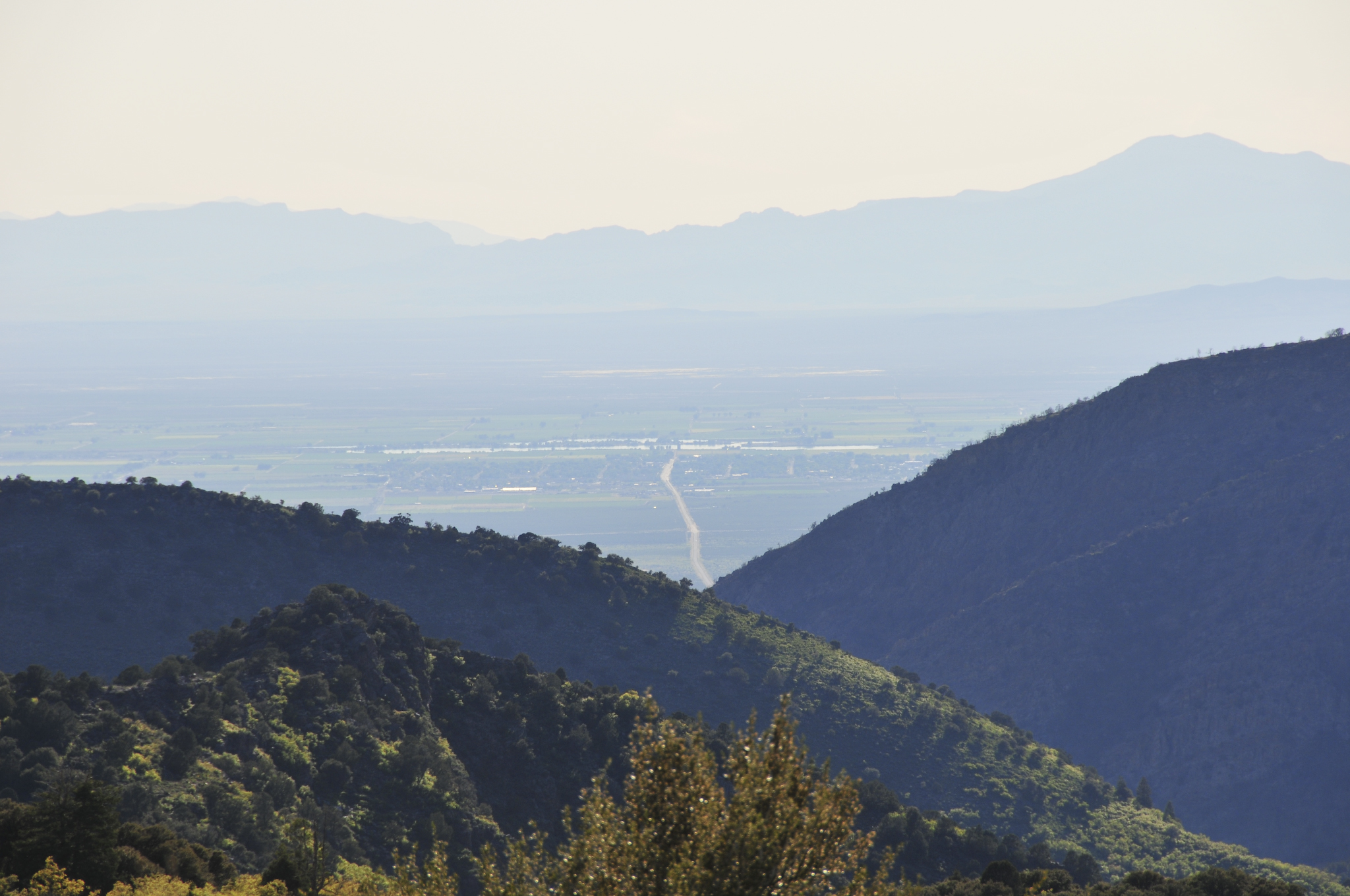
DSC_3737

DSC_3736
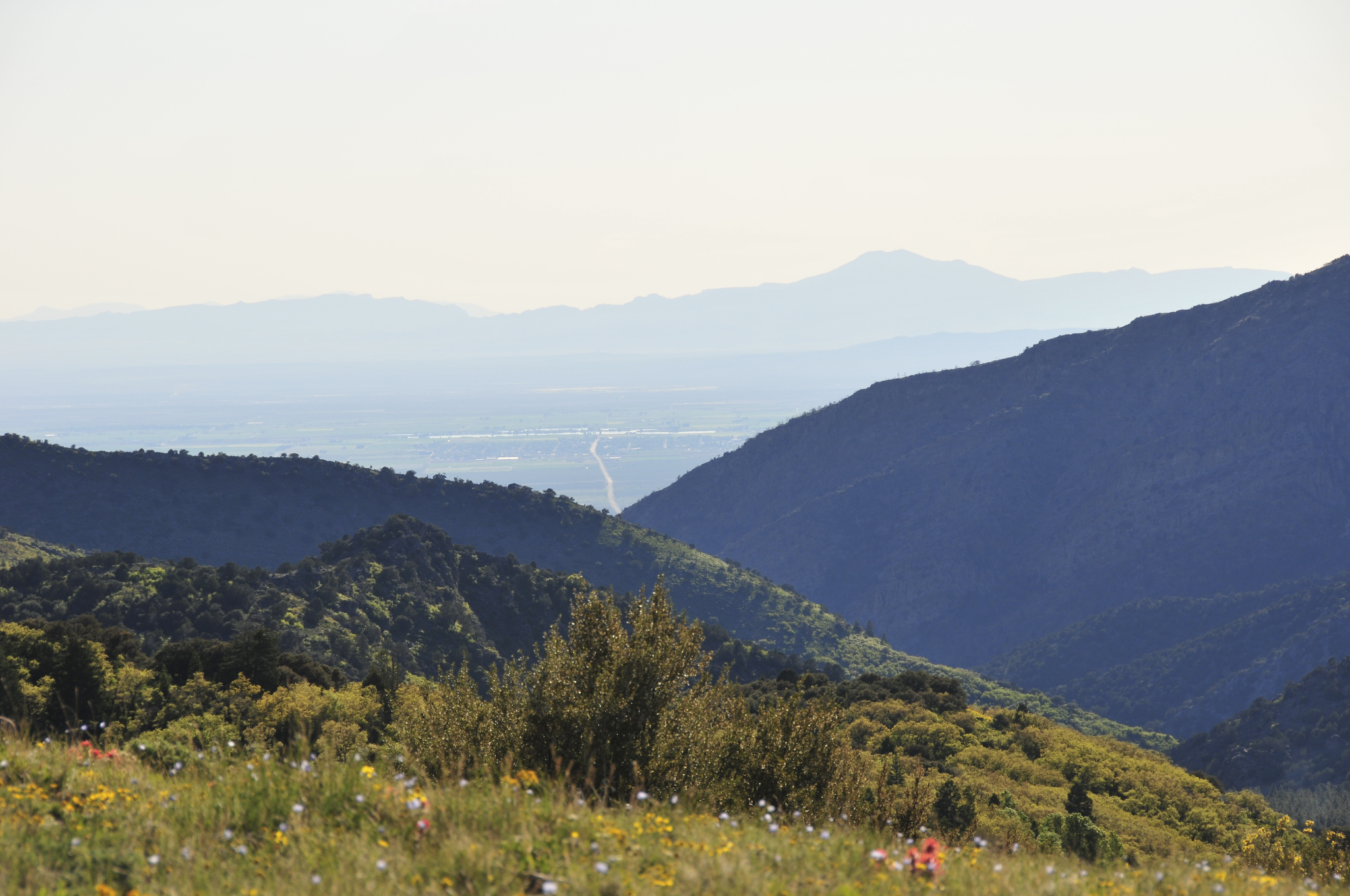
DSC_3735

classic dodge
2012-07-01 12.27.46
2012-06-29 13.09.42

green dodge
Yuba_Lk_6-5 (2)
2014-08-12_13-59-47
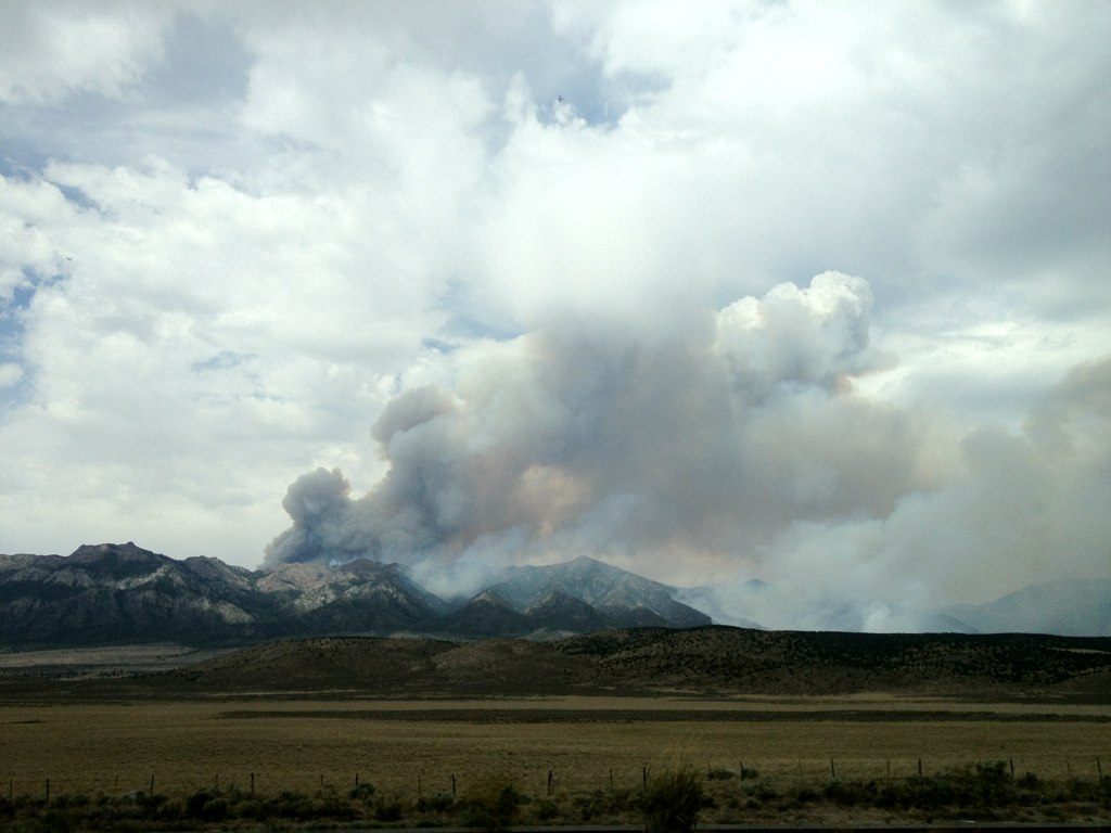
Unbelievable!!!
2014-08-12_14-08-48

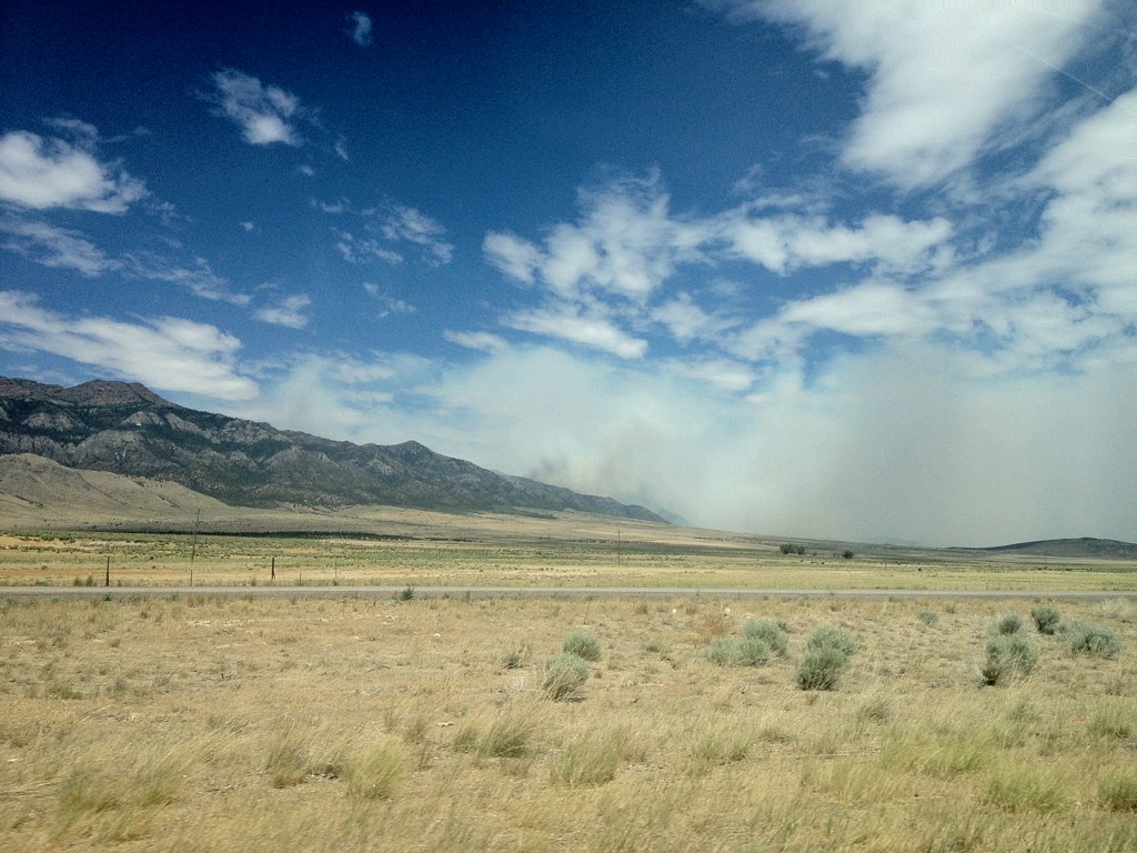
Blue Sky
Topographic Map of W Center St, Scipio, UT, USA
Find elevation by address:

Places near W Center St, Scipio, UT, USA:
Gunnison
Axtell
West Center Street
Fillmore
Aurora
674 Ut-99
Salina
55 N, Sigurd, UT, USA
UT-24, Sigurd, UT, USA
Sigurd
1000 N Main St
Manti
Richfield
The Church Of Jesus Christ Of Latter-day Saints
Pvxw+rv
W S, Kanosh, UT, USA
5 S Main St, Ephraim, UT, USA
Ephraim
Sanpete County
Kanosh
Recent Searches:
- Elevation of Woodland Oak Pl, Thousand Oaks, CA, USA
- Elevation of Brownsdale Rd, Renfrew, PA, USA
- Elevation of Corcoran Ln, Suffolk, VA, USA
- Elevation of Mamala II, Sariaya, Quezon, Philippines
- Elevation of Sarangdanda, Nepal
- Elevation of 7 Waterfall Way, Tomball, TX, USA
- Elevation of SW 57th Ave, Portland, OR, USA
- Elevation of Crocker Dr, Vacaville, CA, USA
- Elevation of Pu Ngaol Community Meeting Hall, HWHM+3X7, Krong Saen Monourom, Cambodia
- Elevation of Royal Ontario Museum, Queens Park, Toronto, ON M5S 2C6, Canada