Elevation map of Millard County, UT, USA
Location: United States > Utah >
Longitude: -113.19180
Latitude: 39.0611744
Elevation: 1379m / 4524feet
Barometric Pressure: 86KPa
Elevation Map:
Satellite Map:
Related Photos:
View looking east at Skull Rock Pass on US 6 & 50

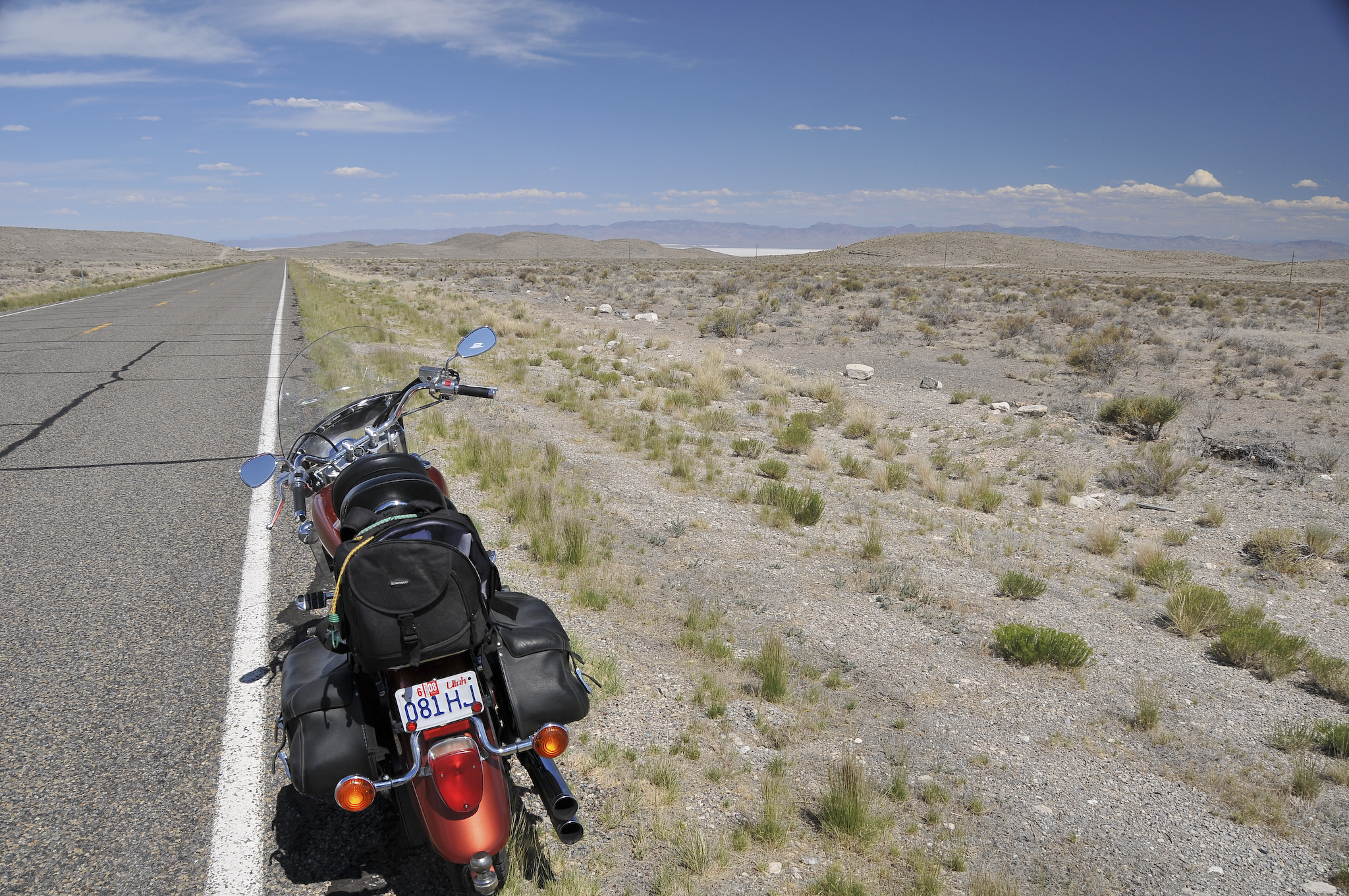
Highway 50

Highway 50
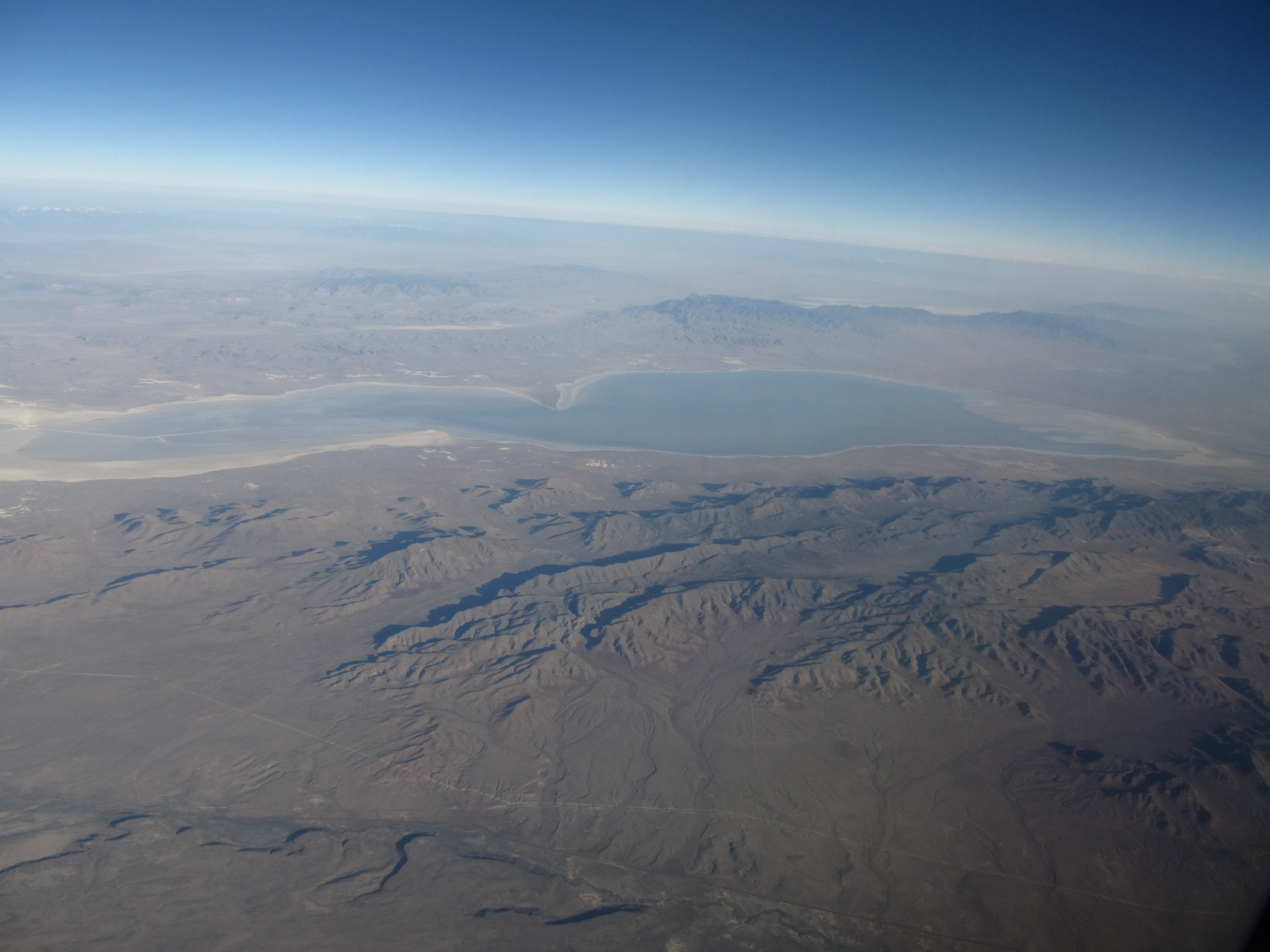
Sevier Dry Lake, Utah
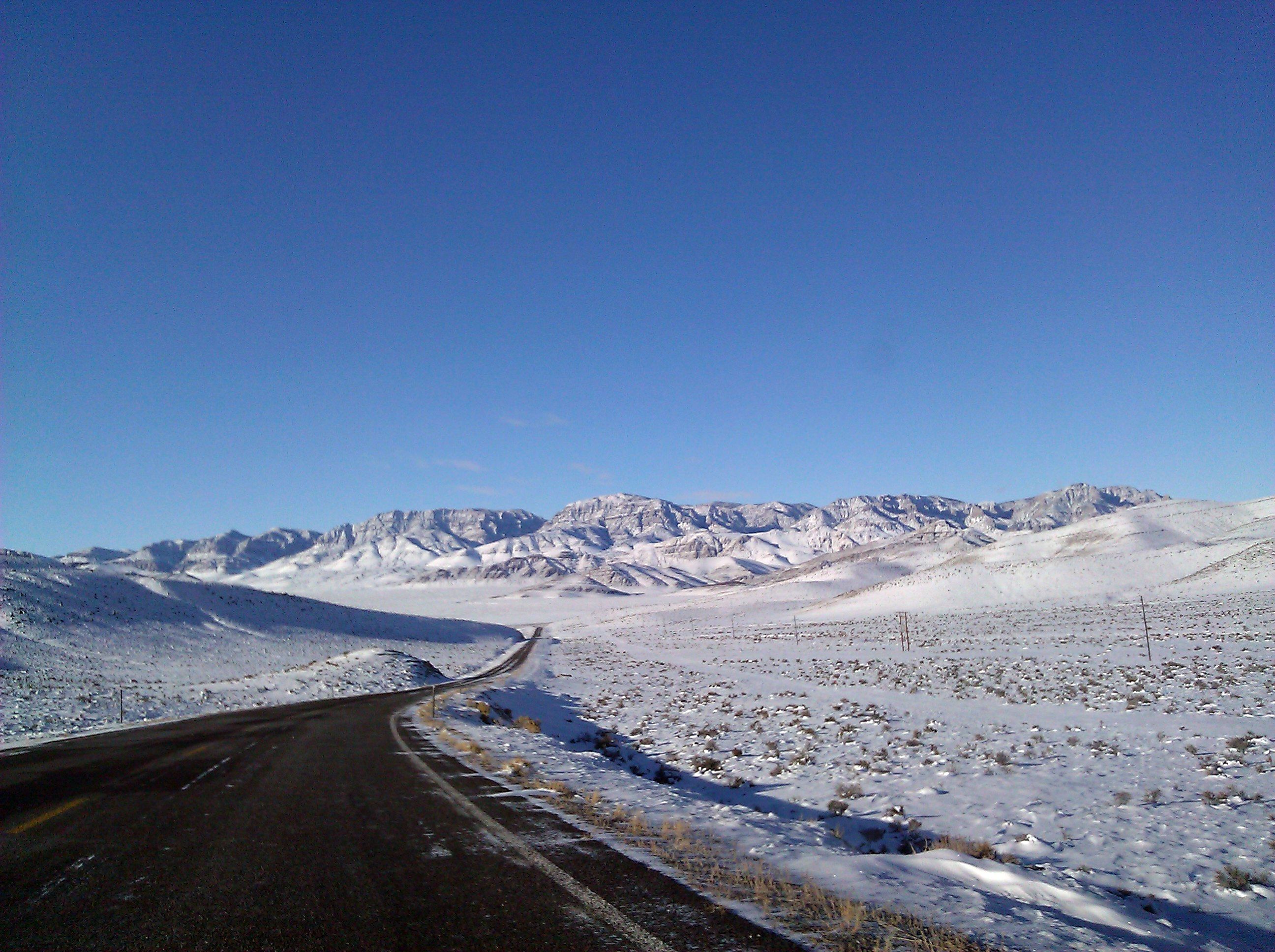
Hwy 50 - gorgeous... but freezing

Highway 50
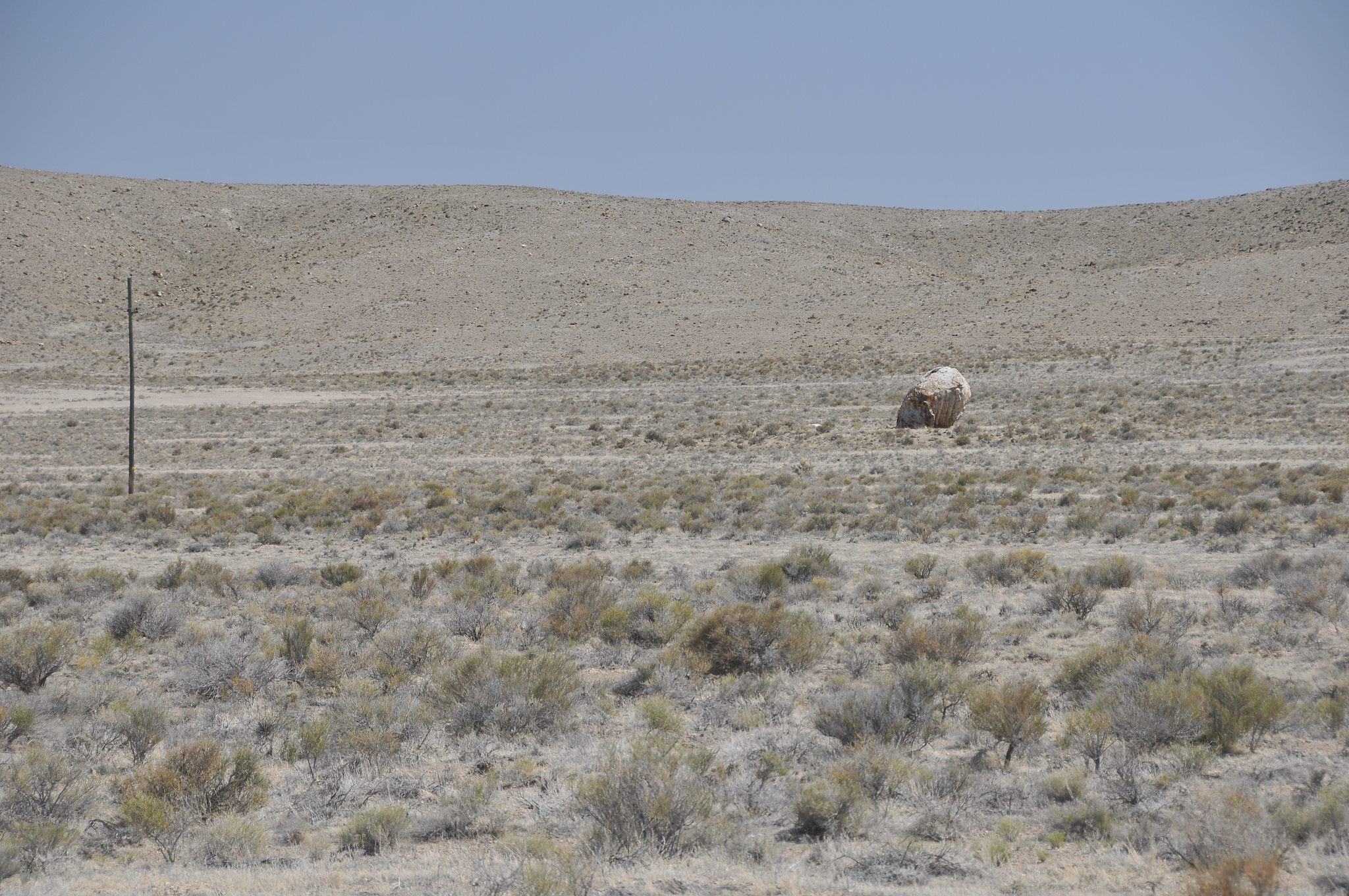
Skull Rock Pass
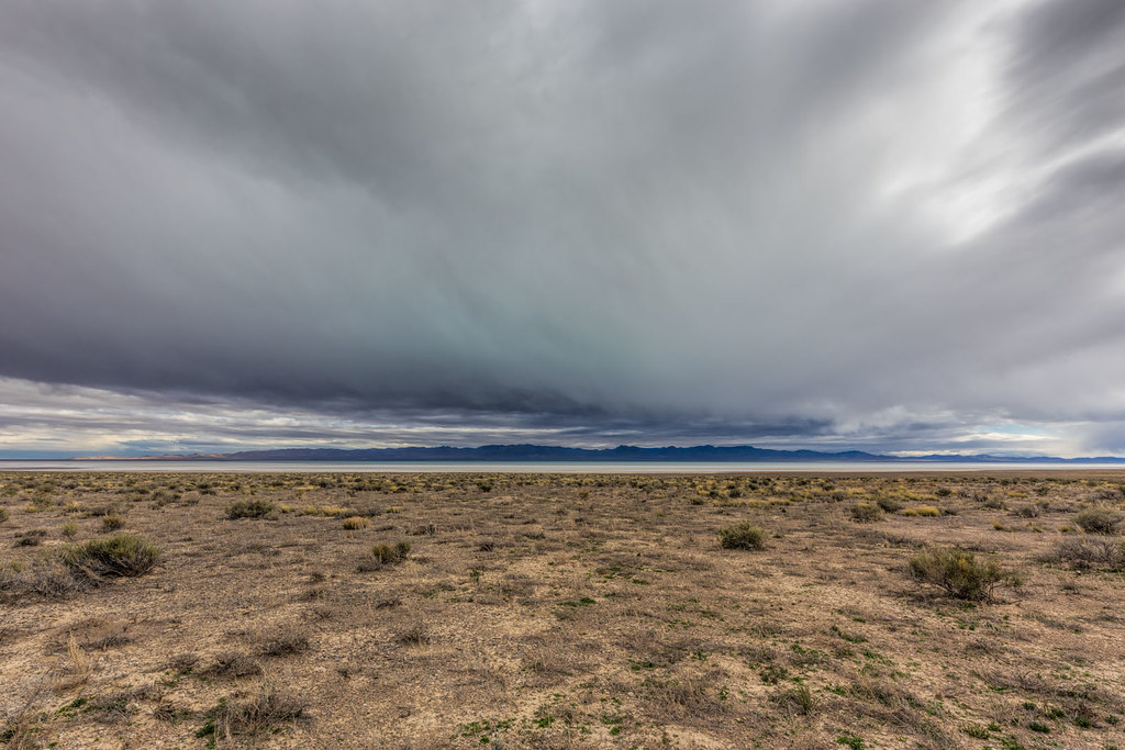
Storm over Sevier Lake, Nevada
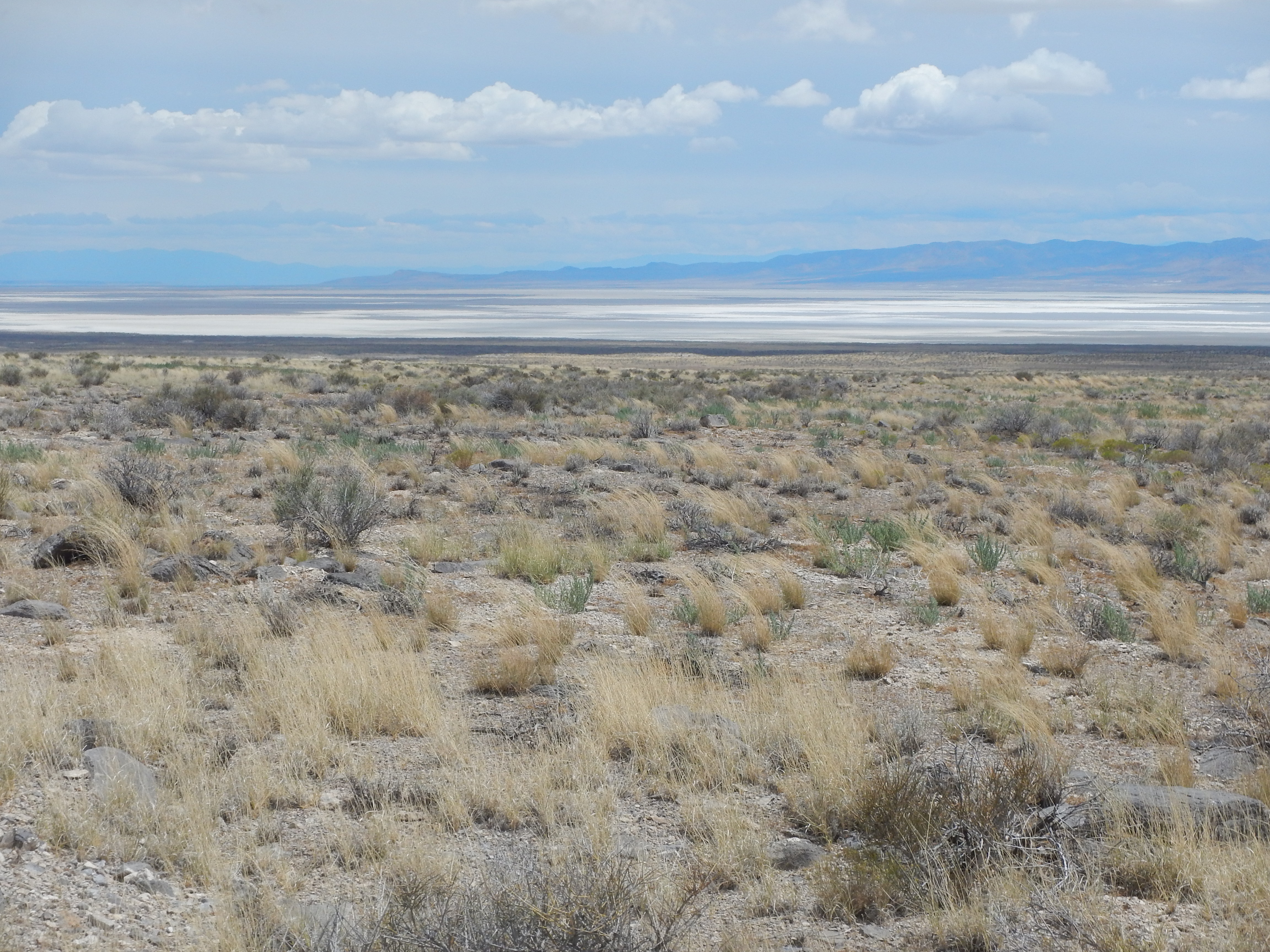
Shrub steppe, Sevier Desert (Sevier Lake in background), UT

Sailor bob
Topographic Map of Millard County, UT, USA
Find elevation by address:

Places in Millard County, UT, USA:
Delta
Kanosh
Lynndyl
W Center St, Scipio, UT, USA
94 N Main Hinckley, Hinckley, UT, USA
Fillmore
Notch Peak
Leamington
Eskdale
Places near Millard County, UT, USA:
Notch Peak
94 N Main Hinckley, Hinckley, UT, USA
S W, Oasis, UT, USA
Delta
North 100 West Street & 400 North Street
45 W Center St, Milford, UT, USA
Milford
200 S 100 W St
126 White Sage Ave
South 400 West Street & 400 West
South 400 West Street & 400 West
Beaver County
Cove Fort Historic Site
Greenville
S W, Greenville, UT, USA
N Creek Rd, Beaver, UT, USA
Beaver
East 300 South Street
2740 Navajo Trail N
2740 Navajo Trail N
Recent Searches:
- Elevation of Corso Fratelli Cairoli, 35, Macerata MC, Italy
- Elevation of Tallevast Rd, Sarasota, FL, USA
- Elevation of 4th St E, Sonoma, CA, USA
- Elevation of Black Hollow Rd, Pennsdale, PA, USA
- Elevation of Oakland Ave, Williamsport, PA, USA
- Elevation of Pedrógão Grande, Portugal
- Elevation of Klee Dr, Martinsburg, WV, USA
- Elevation of Via Roma, Pieranica CR, Italy
- Elevation of Tavkvetili Mountain, Georgia
- Elevation of Hartfords Bluff Cir, Mt Pleasant, SC, USA