Elevation of Leamington, UT, USA
Location: United States > Utah > Millard County >
Longitude: -112.28355
Latitude: 39.5346744
Elevation: 1441m / 4728feet
Barometric Pressure: 85KPa
Elevation Map:
Satellite Map:
Related Photos:
2009 03 07 (179)
2009 03 07 (181)
2008 06 04 (107)p
2008 06 04 (101)
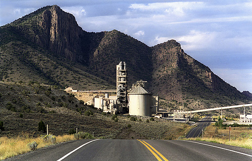
Cement Factory ~ Leamington, Utah
2009 03 07 (164)
2009 03 07 (166)

2008 06 04 (1002)
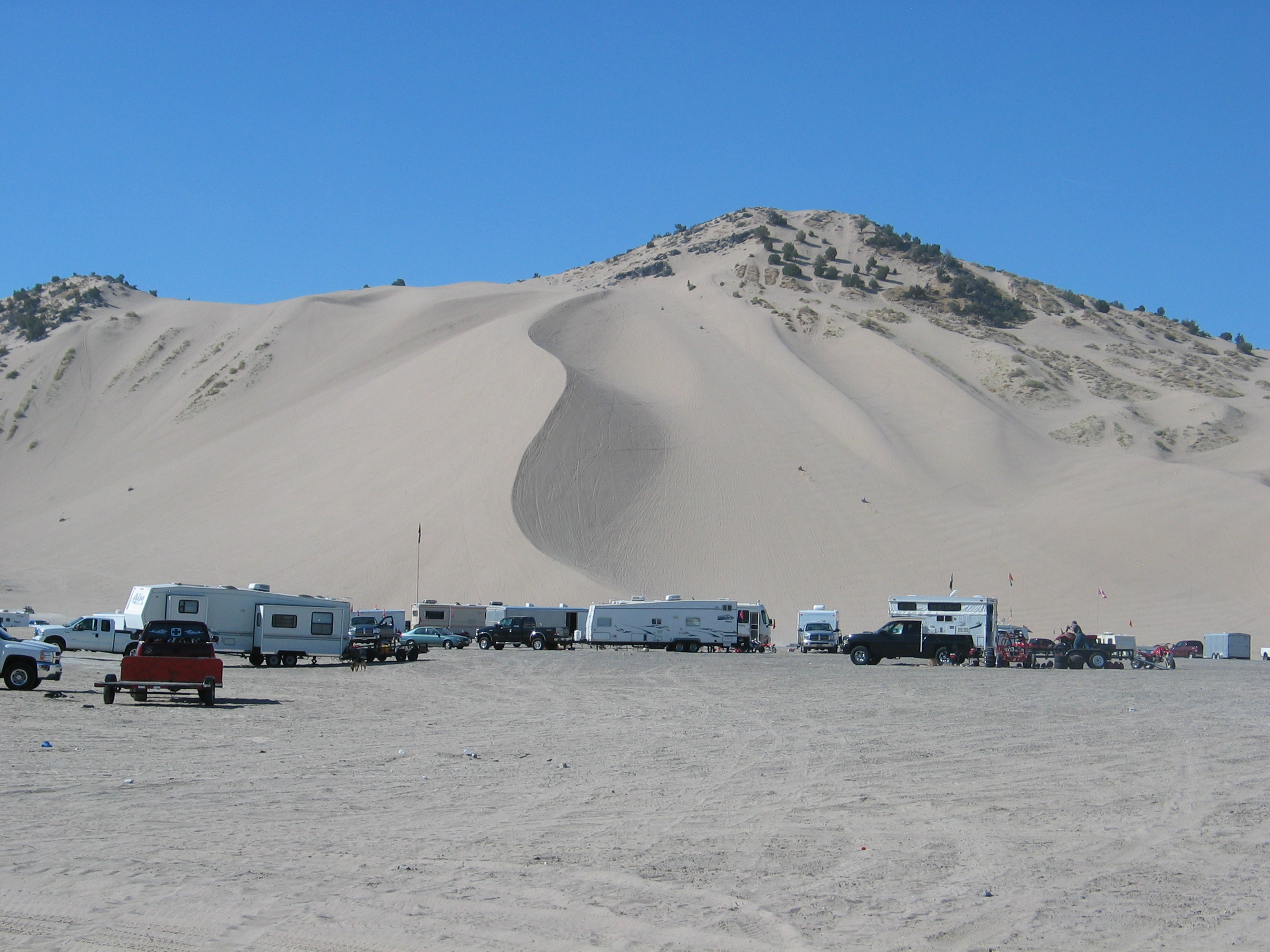
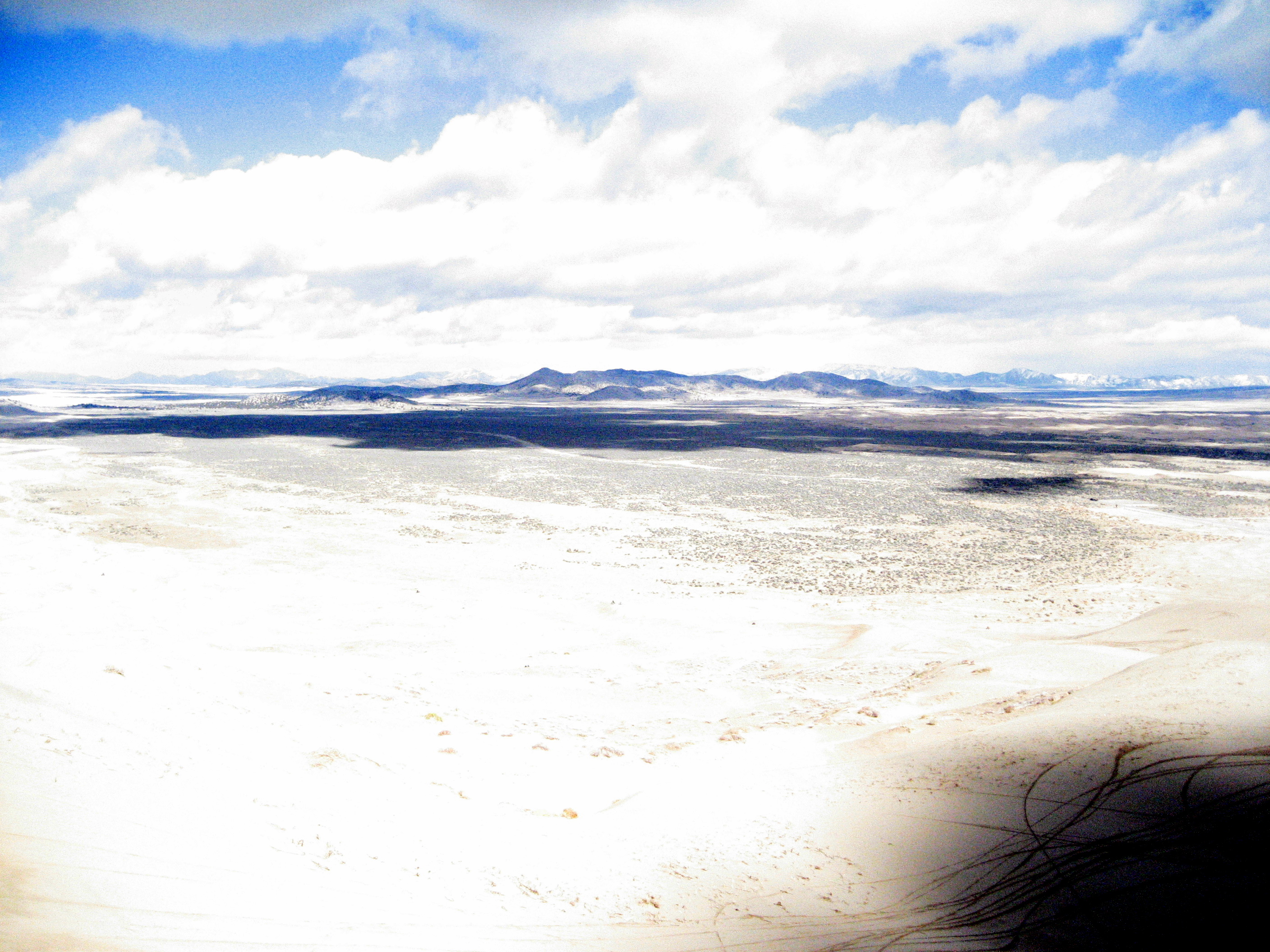
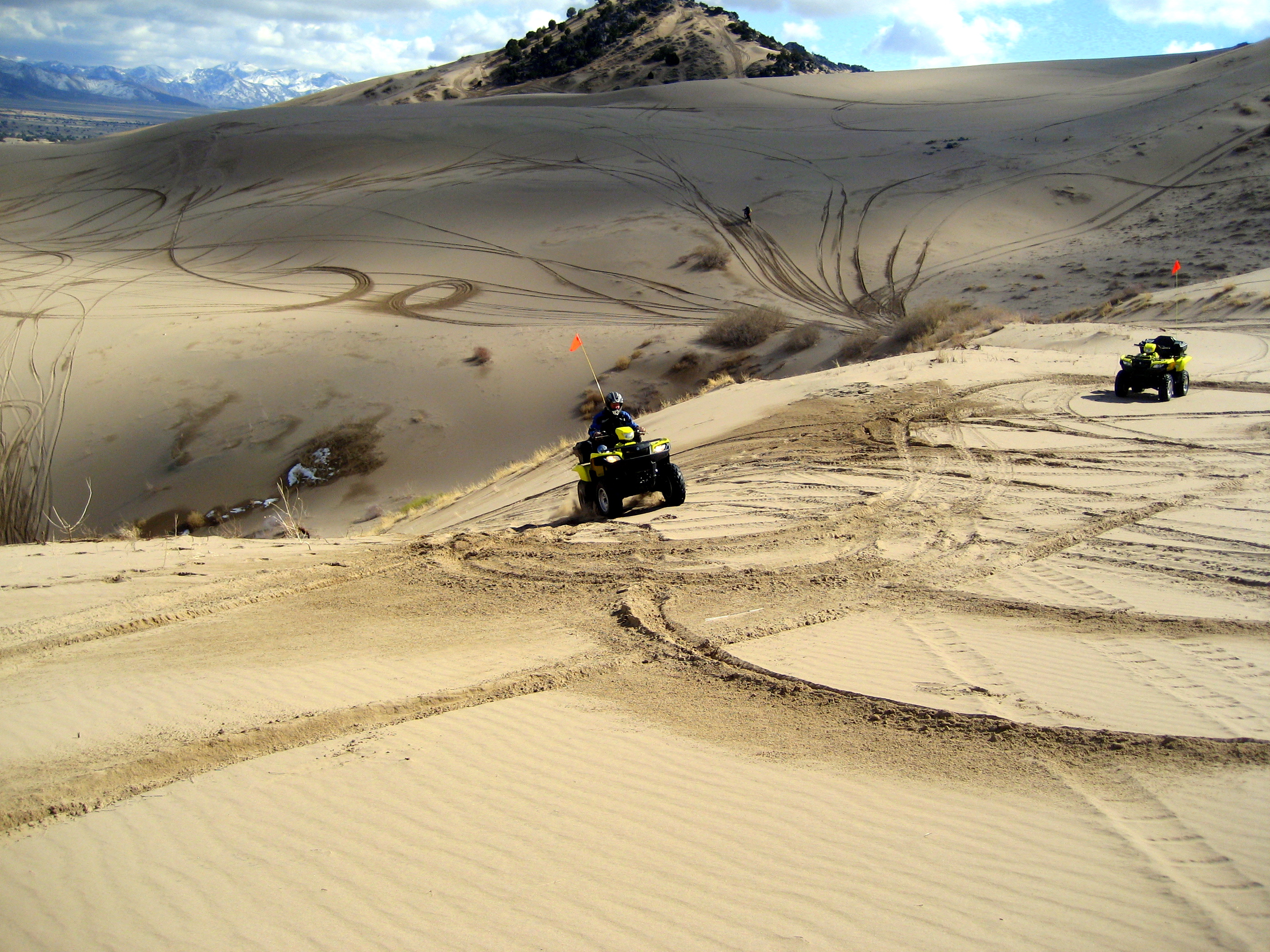
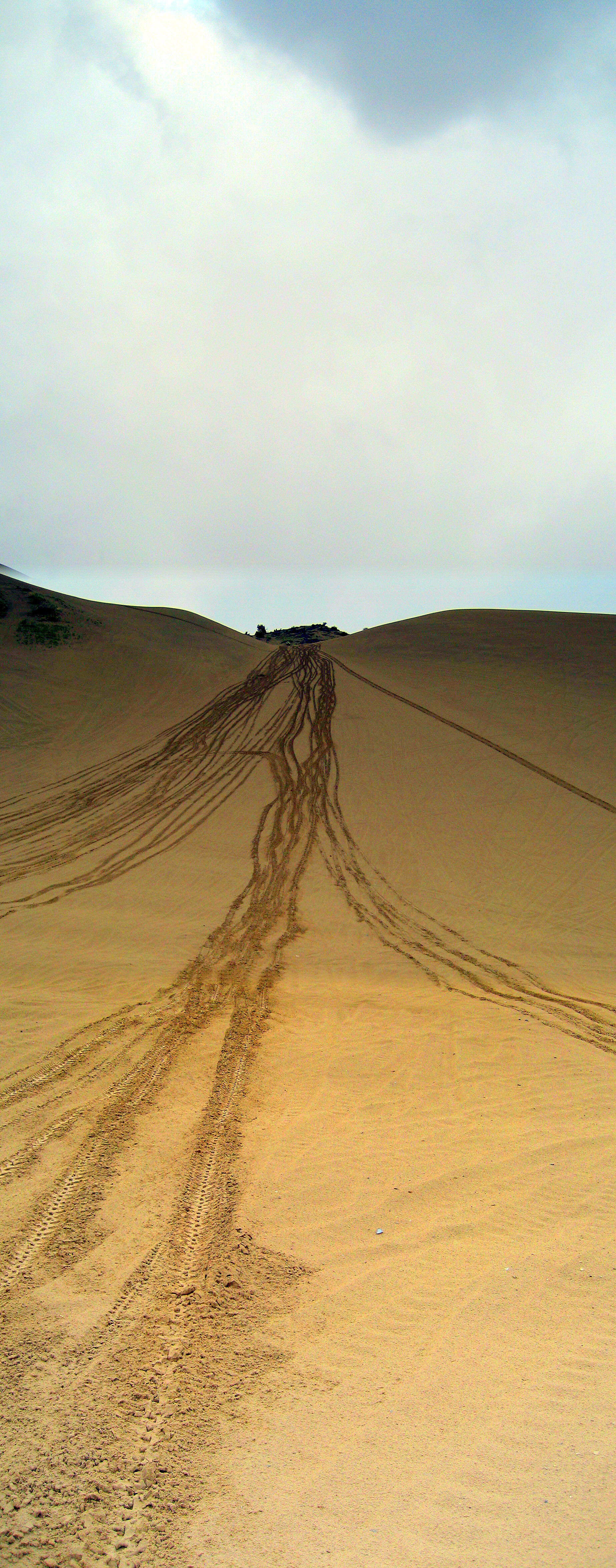
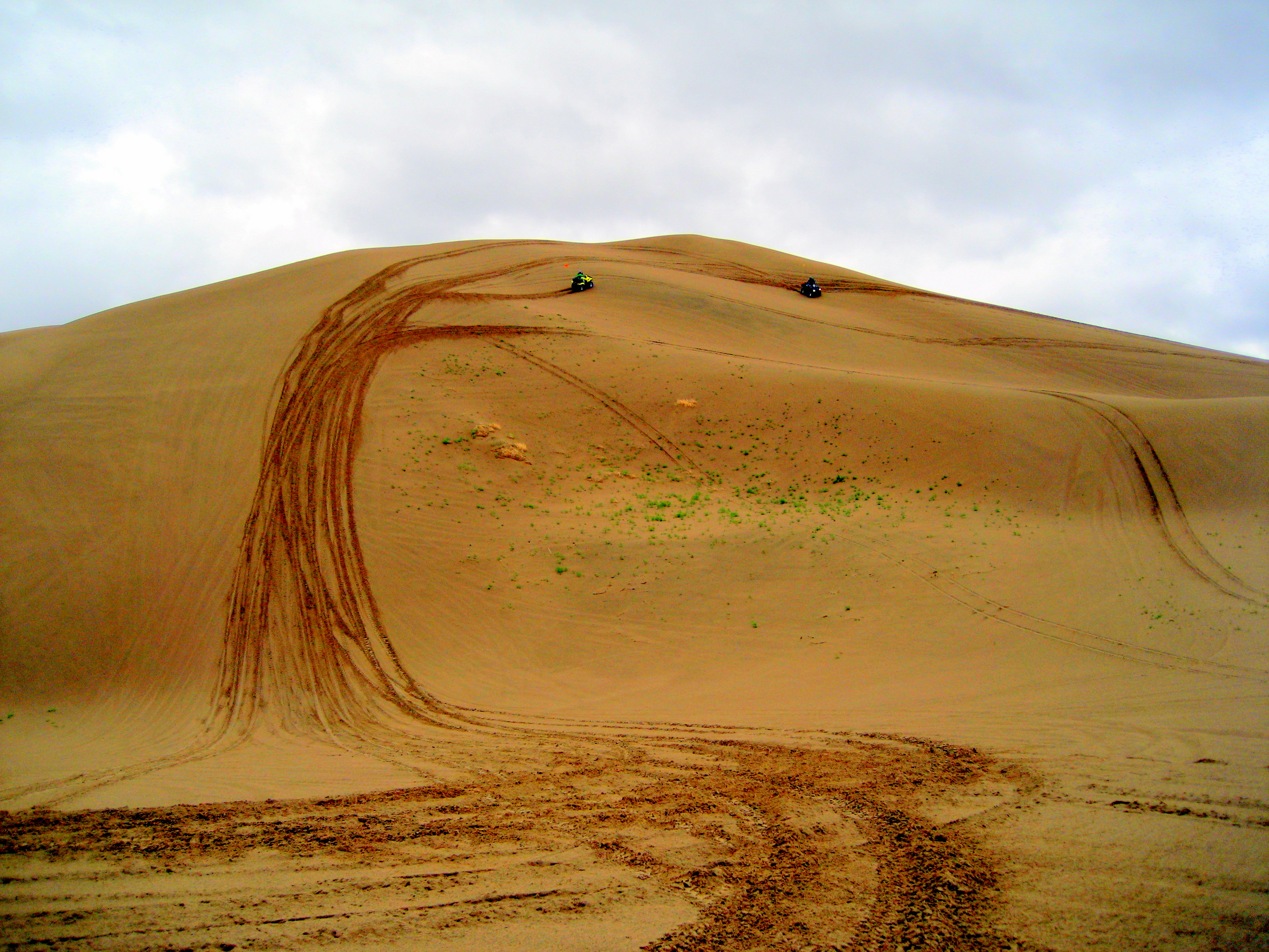
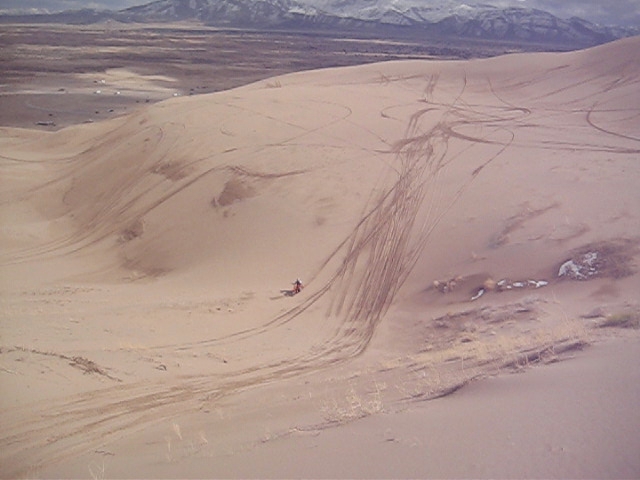
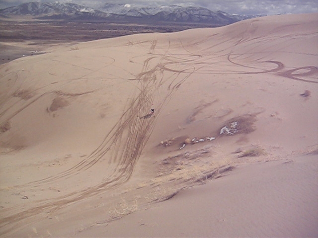
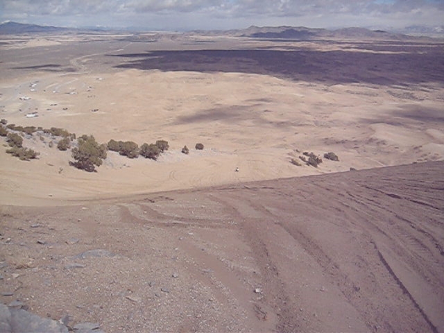
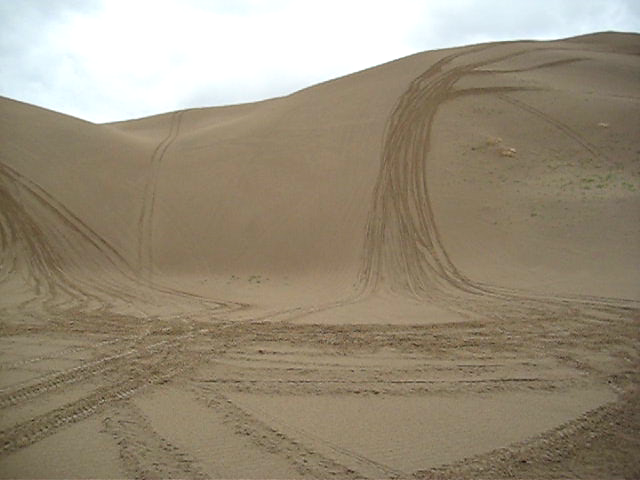
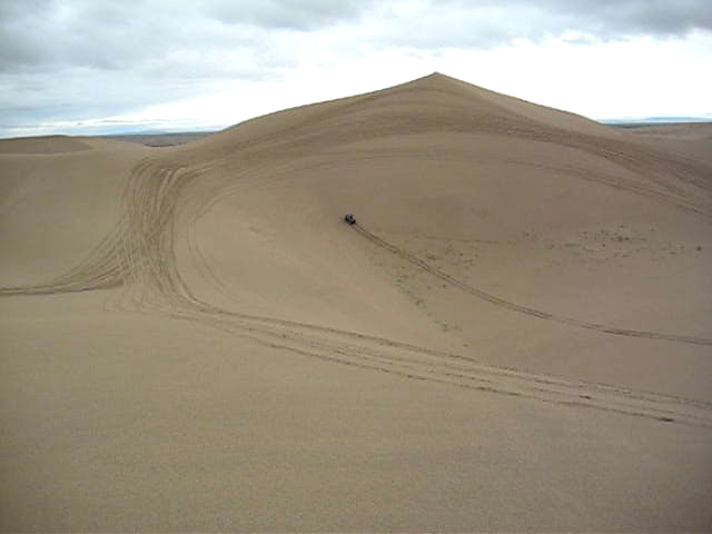
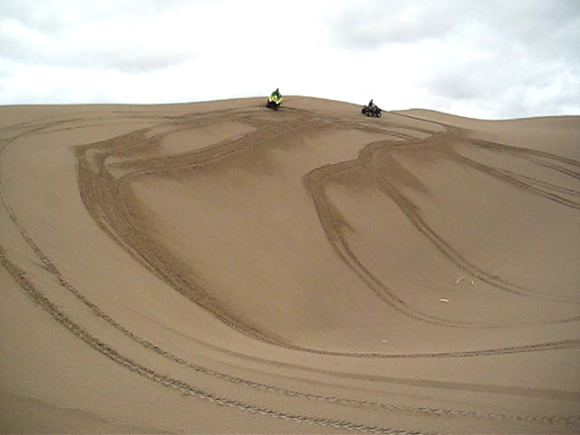
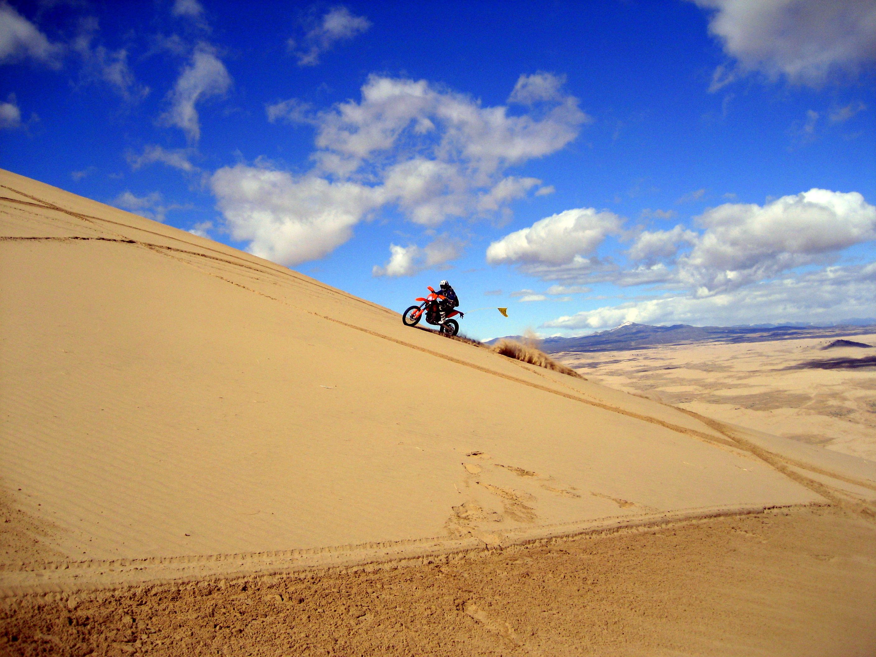
Little Sahara
2009 03 07 (125)
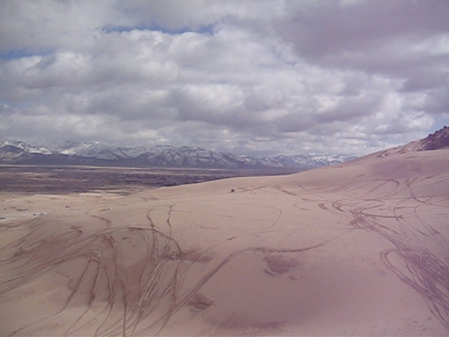
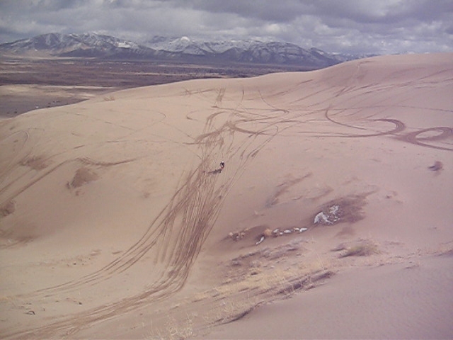
2008 06 04 (1002)
2008 06 04 (1000)
2008 06 04 (1004)
UP 6655 Westbound
0U1A2410 Morrison Charcoal Ovens
UP 6655 Westbound
UP 6655 Westbound
2009 03 07 (180)
2009 03 07 (193)
2009 03 07 (167)

2008 06 04 (1004)
Topographic Map of Leamington, UT, USA
Find elevation by address:

Places near Leamington, UT, USA:
8525 300 E
Lynndyl
8 S Main Lynndyl, Lynndyl, UT, USA
143 S 200 W
143 S 200 W
Levan
Eureka
337 S 200 W
Nephi
The Mona Road
Mona
Nebo Ranch Street
Goshen
Big Mountain Campground
Mount Nebo
Summit Ridge Parkway
730 Sunset Dr
Genola
32 N Main St, Genola, UT, USA
76 E Center St
Recent Searches:
- Elevation of 6 Rue Jules Ferry, Beausoleil, France
- Elevation of Sattva Horizon, 4JC6+G9P, Vinayak Nagar, Kattigenahalli, Bengaluru, Karnataka, India
- Elevation of Great Brook Sports, Gold Star Hwy, Groton, CT, USA
- Elevation of 10 Mountain Laurels Dr, Nashua, NH, USA
- Elevation of 16 Gilboa Ln, Nashua, NH, USA
- Elevation of Laurel Rd, Townsend, TN, USA
- Elevation of 3 Nestling Wood Dr, Long Valley, NJ, USA
- Elevation of Ilungu, Tanzania
- Elevation of Yellow Springs Road, Yellow Springs Rd, Chester Springs, PA, USA
- Elevation of Rēzekne Municipality, Latvia