Elevation of Tonto Basin, AZ, USA
Location: United States > Arizona > Gila County >
Longitude: -111.31047
Latitude: 33.8502345
Elevation: 713m / 2339feet
Barometric Pressure: 93KPa
Elevation Map:
Satellite Map:
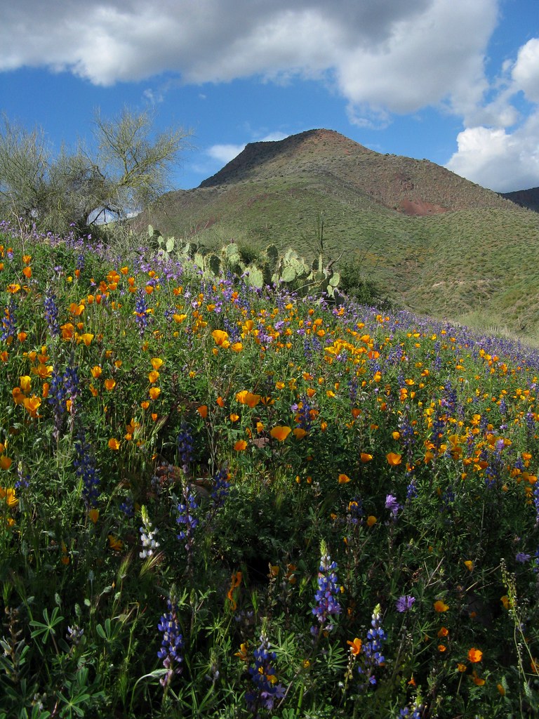
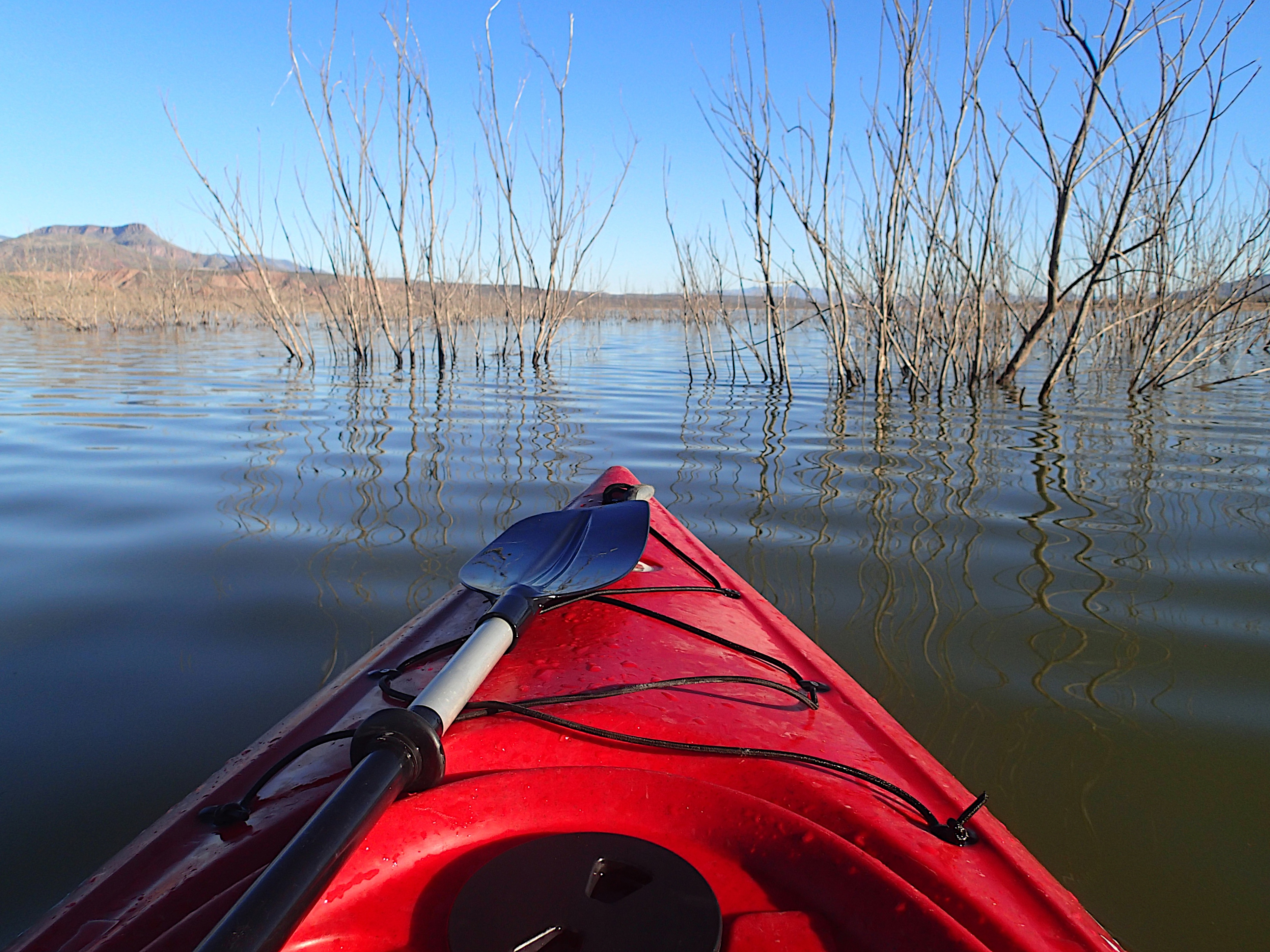
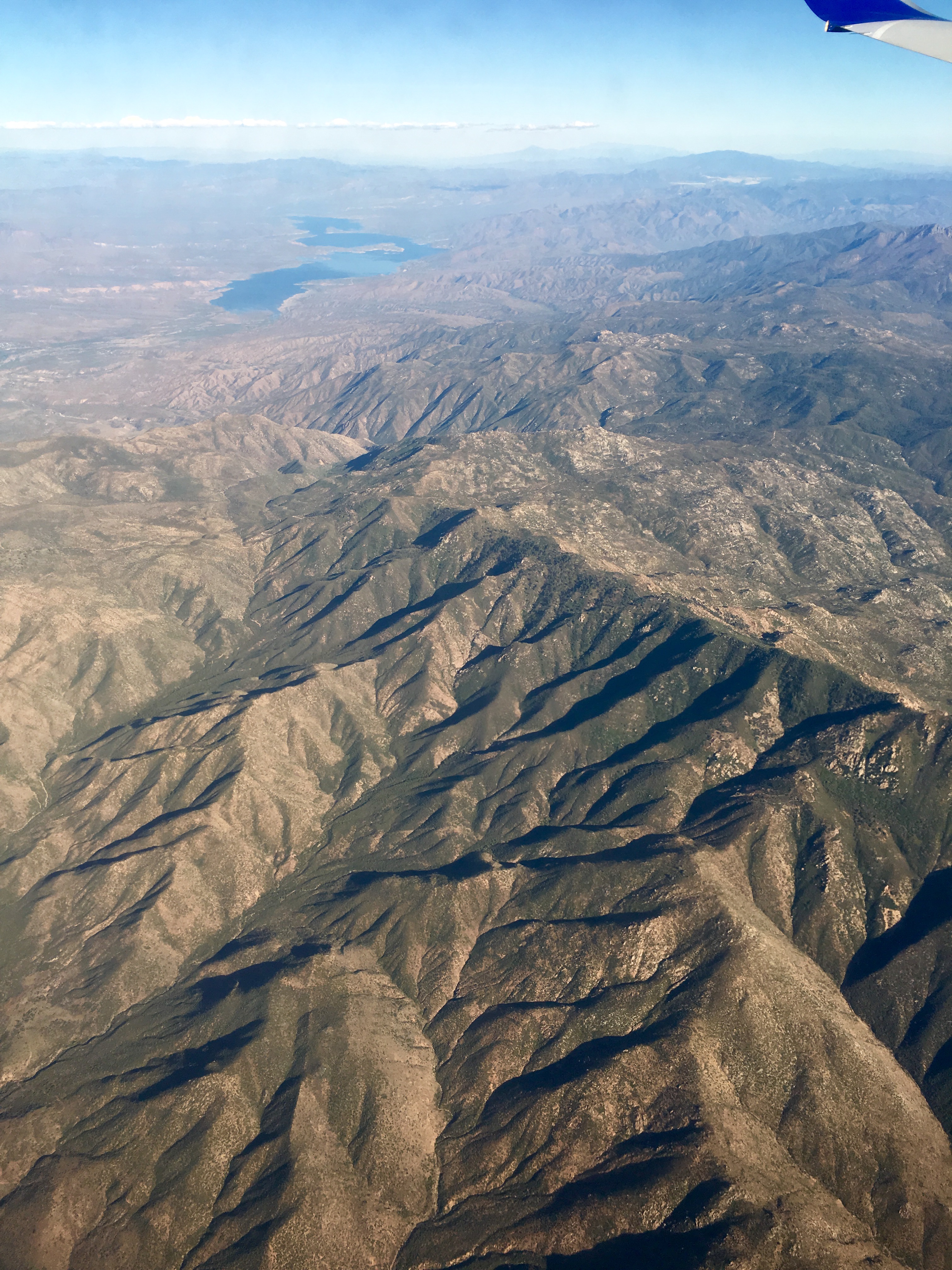
Related Photos:
Not Happening

Four Peaks Rd (FR143)
Directional View

Four Peaks Rd (FR143)

Four Peaks Rd (FR143)

Four Peaks Rd (FR143)

Four Peaks Rd (FR143)

Four Peaks Rd (FR143)
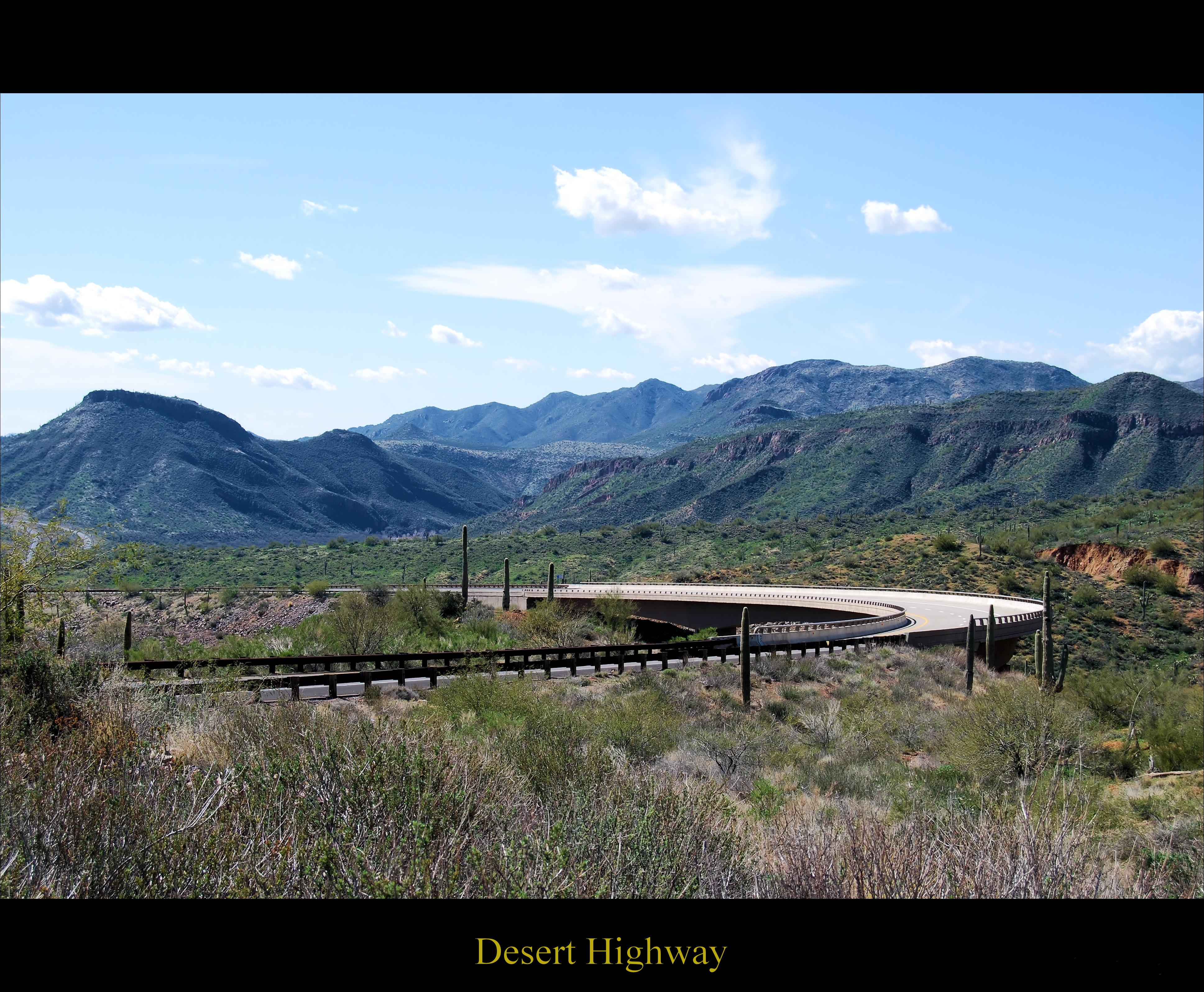
Desert Highway

Four Peaks Rd (FR143)

Four Peaks Rd (FR143)

Four Peaks Rd (FR143)

Four Peaks Rd (FR143)

Four Peaks Rd (FR143)

Mt. Ord Arizona

Four Peaks Rd (FR143)

Four Peaks Rd (FR143)

Four Peaks Rd (FR143)

Four Peaks Rd (FR143)

Four Peaks Rd (FR143)

Four Peaks Rd (FR143)
Theodore Roosevelt Lake in eastern AZ.

Mt Ord Arizona

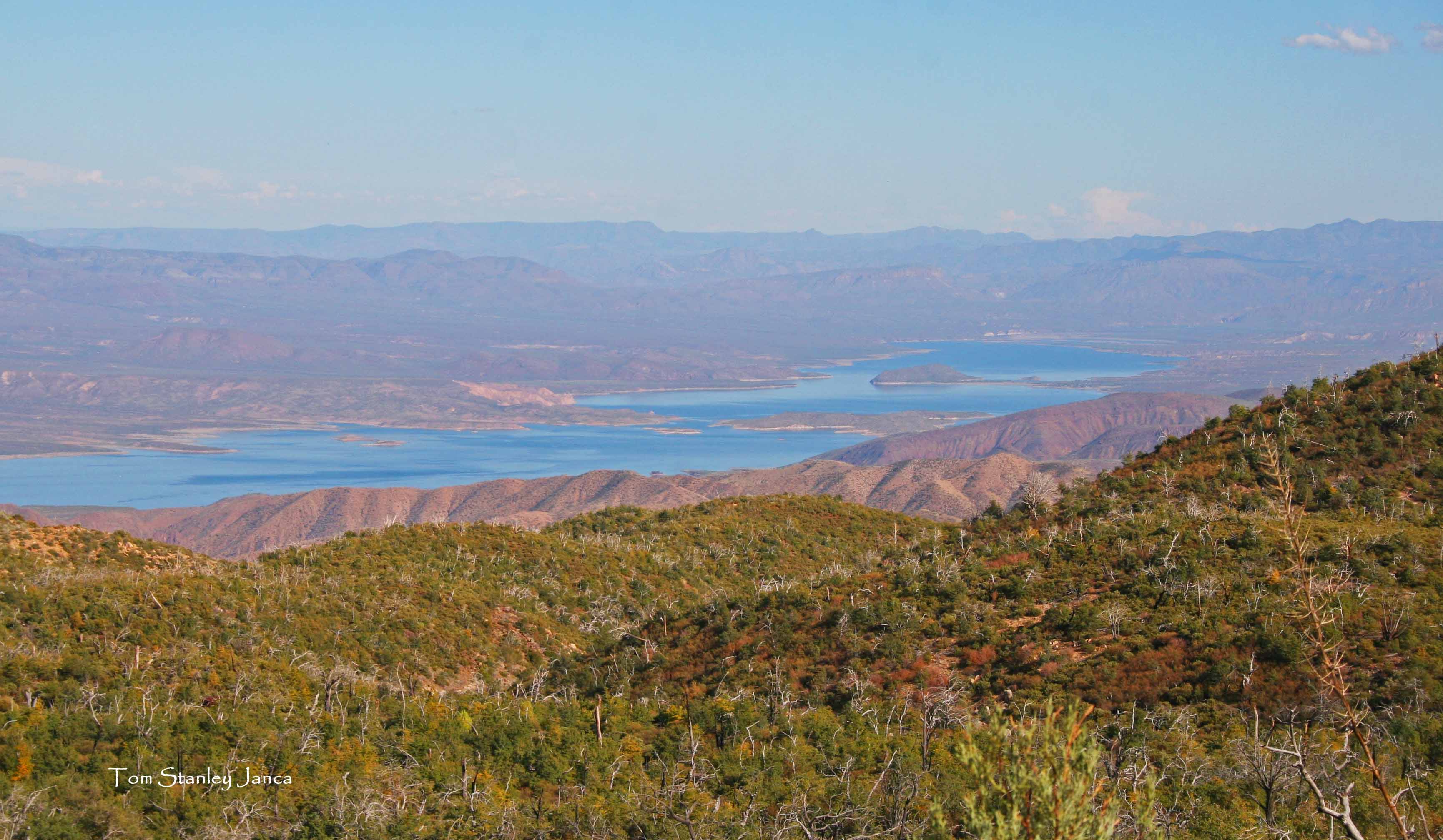
View from the top of Mt Ord, Gila County, Arizona
Blue Water, Blue Sky

View from the top of Mt Ord, Gila County, Arizona

Bushnell Tanks Road
Scrub Brush and Cactus (as far as the eye can see)...

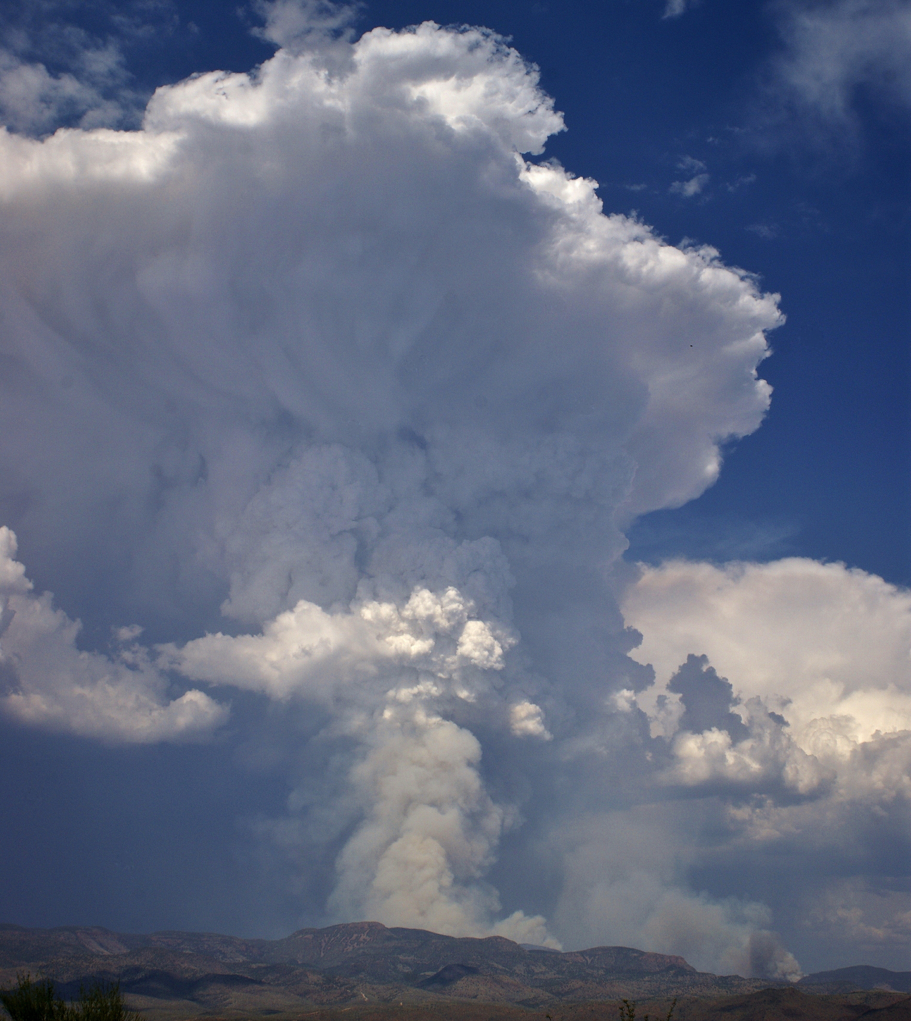
Distant Storm
Guys! For real though.. Nature. It's pretty fucking amazing... #bearsontheroad
The Mistake Peak Fire
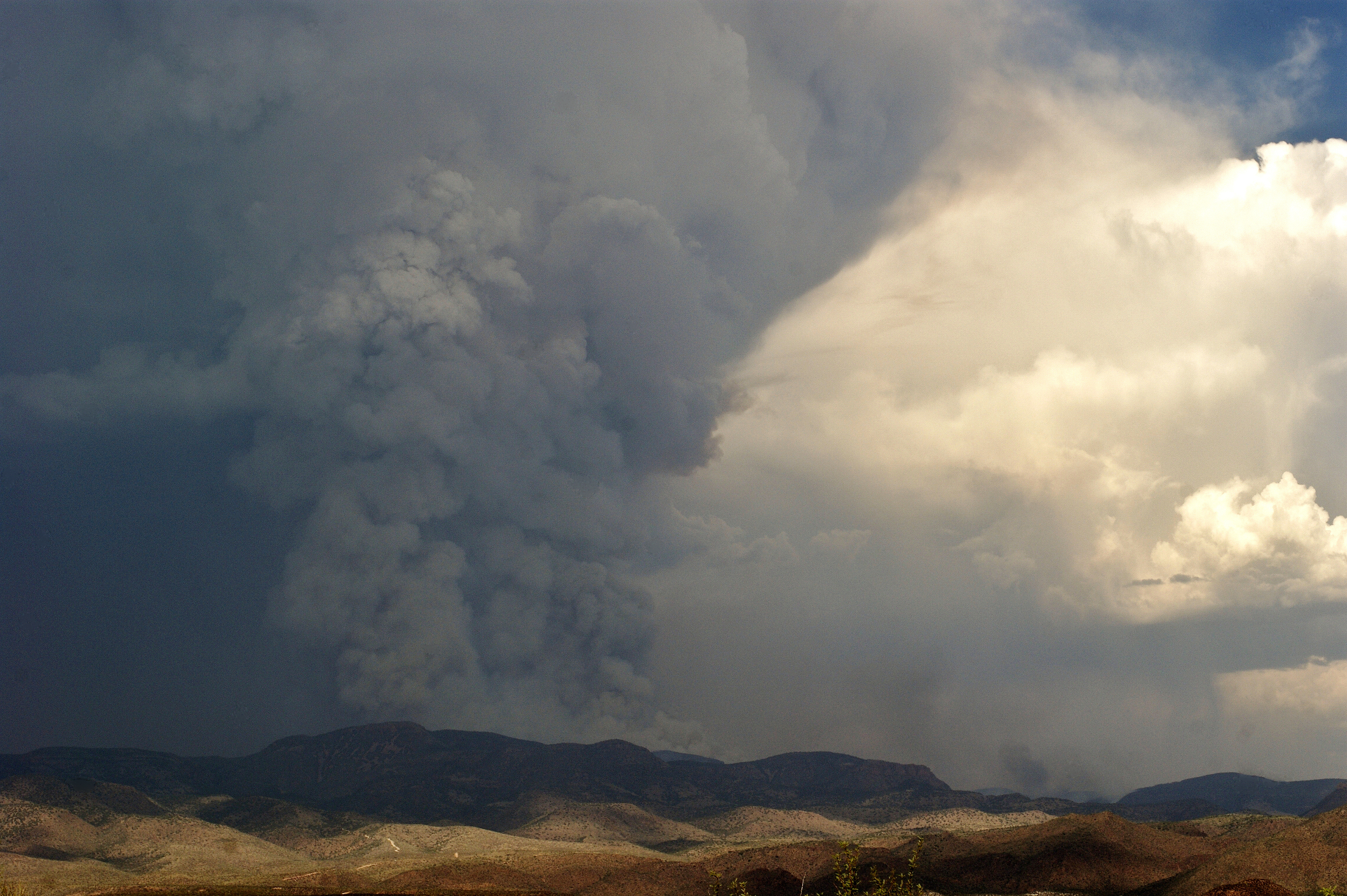
The Mistake Peak Fire

Tonto 201304140624

Tonto 201304140627
The Mistake Peak Fire
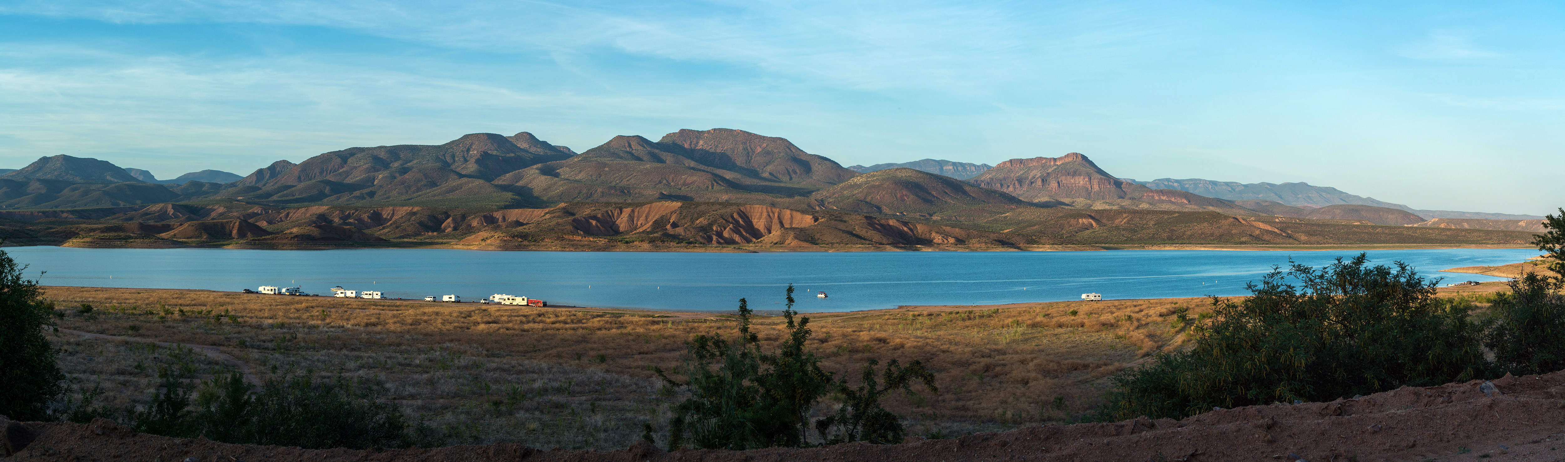
Theodore Roosevelt Lake

Tonto 201304140623
Roosevelt Lake From Four Peaks Road.
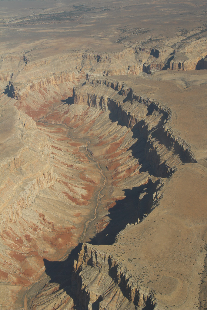
Grand Canyon
Topographic Map of Tonto Basin, AZ, USA
Find elevation by address:

Places in Tonto Basin, AZ, USA:
Places near Tonto Basin, AZ, USA:
123 Earl Stevens Rd
569 Rocky Rd
Punkin Center
Whitney Ranch Estates
27856 E Mt Ord Dr #3
Rio Verde, AZ, USA
228 Windmill Rd
Deercreek Drive
Deercreek Dr, Payson, AZ, USA
873 Deercreek Dr
Gisela
River Road
Mazatzal Peak
573 Oxbow Trail
Oxbow Trail, Payson, AZ, USA
7674 W Gibson Ranch Rd
782 W Colt Ln
North Peak
West Gibson Ranch Road
Mazatzal Hotel & Casino
Recent Searches:
- Elevation of Corso Fratelli Cairoli, 35, Macerata MC, Italy
- Elevation of Tallevast Rd, Sarasota, FL, USA
- Elevation of 4th St E, Sonoma, CA, USA
- Elevation of Black Hollow Rd, Pennsdale, PA, USA
- Elevation of Oakland Ave, Williamsport, PA, USA
- Elevation of Pedrógão Grande, Portugal
- Elevation of Klee Dr, Martinsburg, WV, USA
- Elevation of Via Roma, Pieranica CR, Italy
- Elevation of Tavkvetili Mountain, Georgia
- Elevation of Hartfords Bluff Cir, Mt Pleasant, SC, USA