Elevation of Rocky Rd, Tonto Basin, AZ, USA
Location: United States > Arizona > Gila County > Tonto Basin >
Longitude: -111.30370
Latitude: 33.8387794
Elevation: 705m / 2313feet
Barometric Pressure: 93KPa
Elevation Map:
Satellite Map:
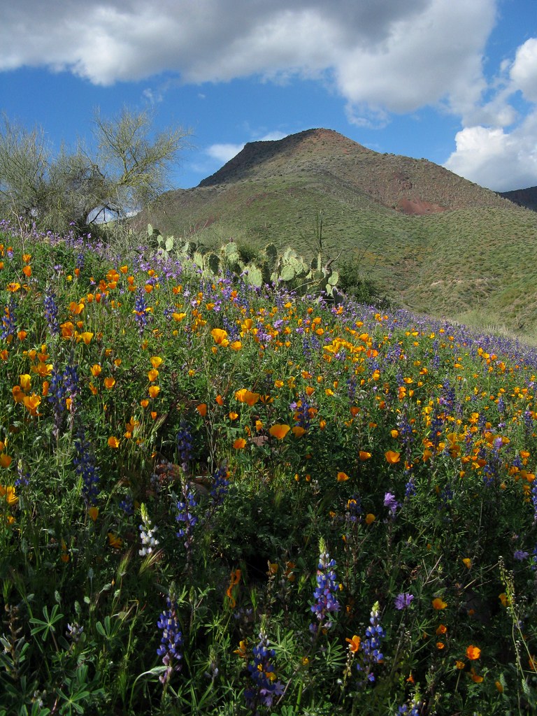
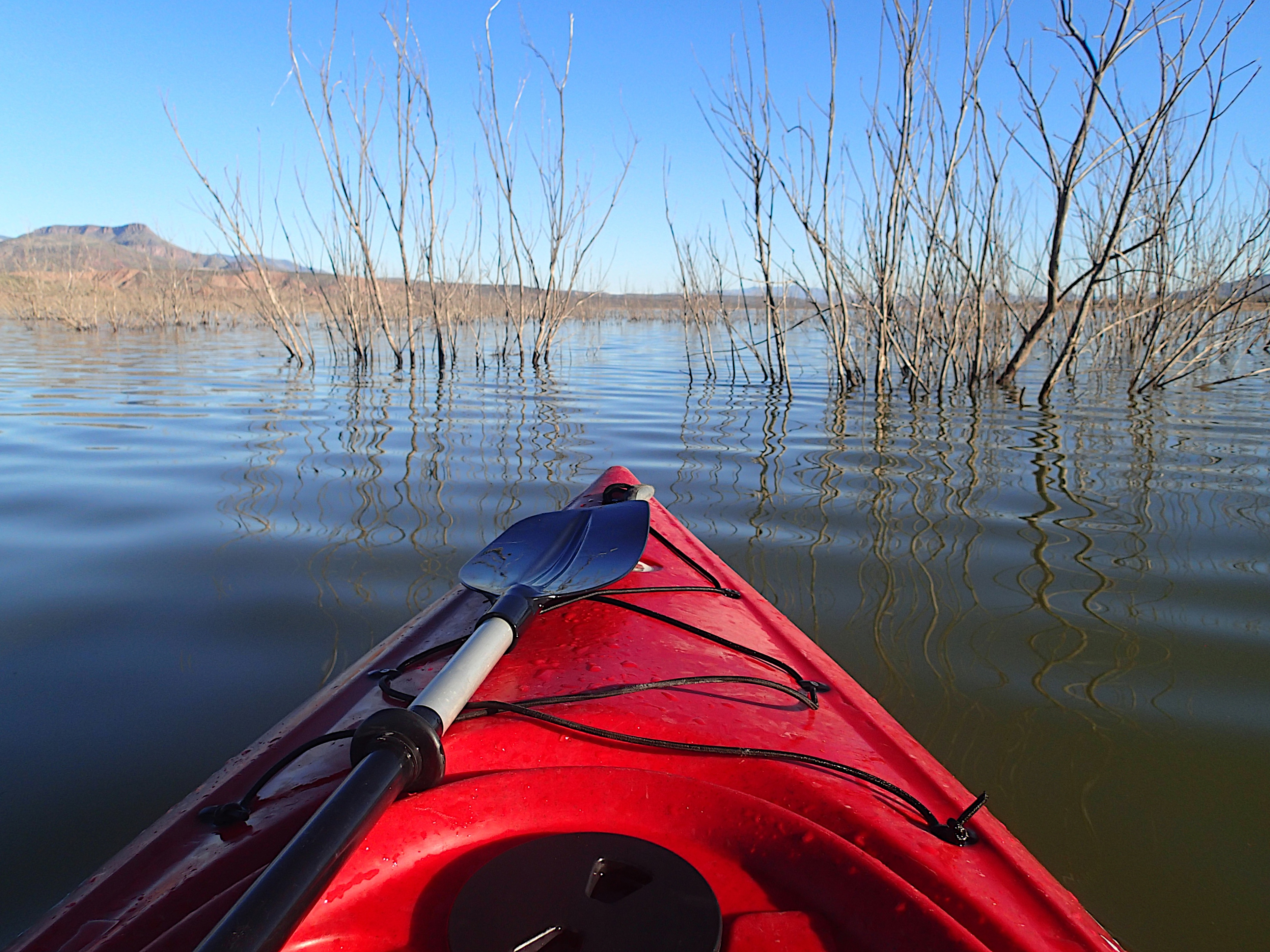
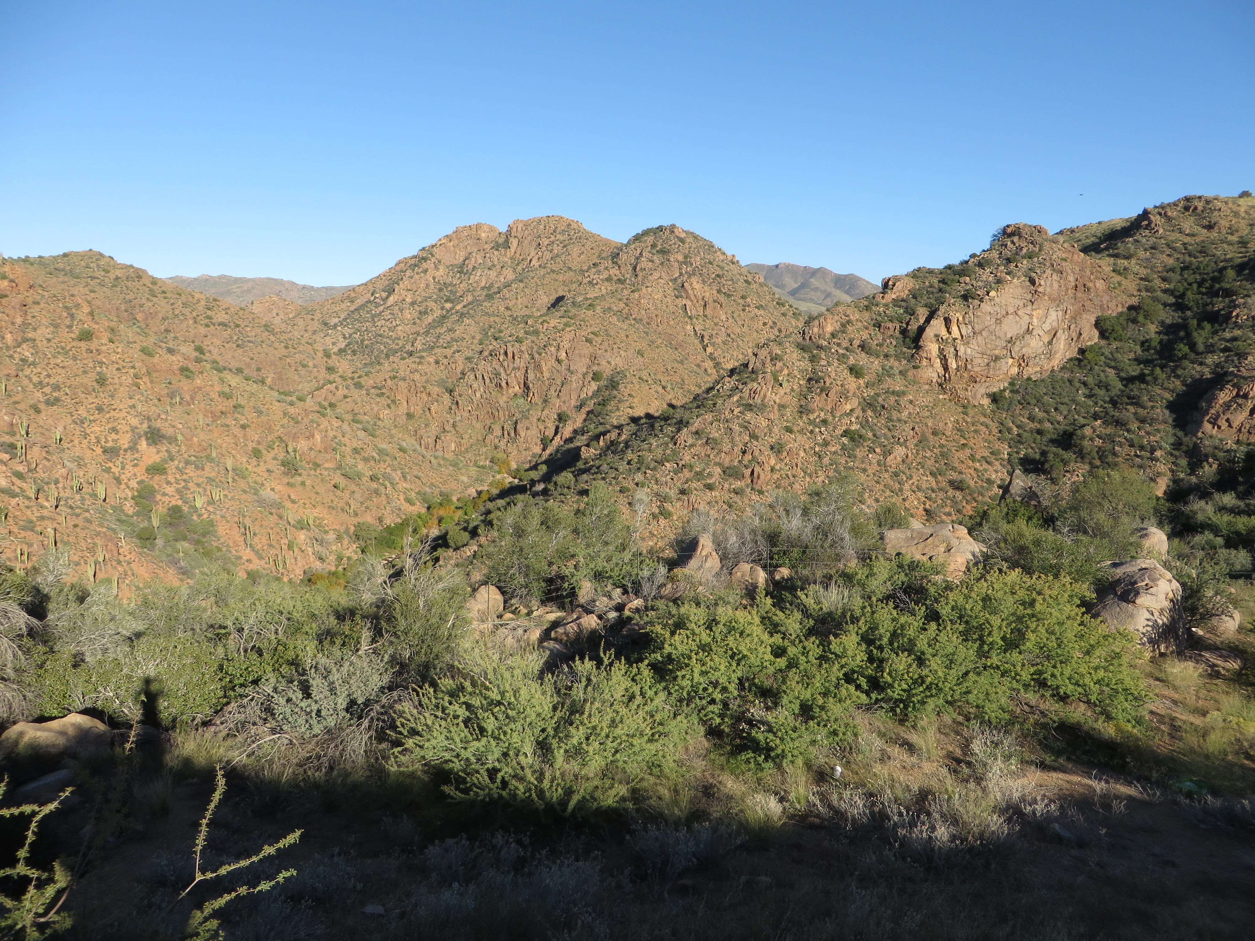
Related Photos:
Not Happening
Directional View

Four Peaks Rd (FR143)

Four Peaks Rd (FR143)

Four Peaks Rd (FR143)

View from the top of Mt Ord, Gila County, Arizona

Four Peaks Rd (FR143)
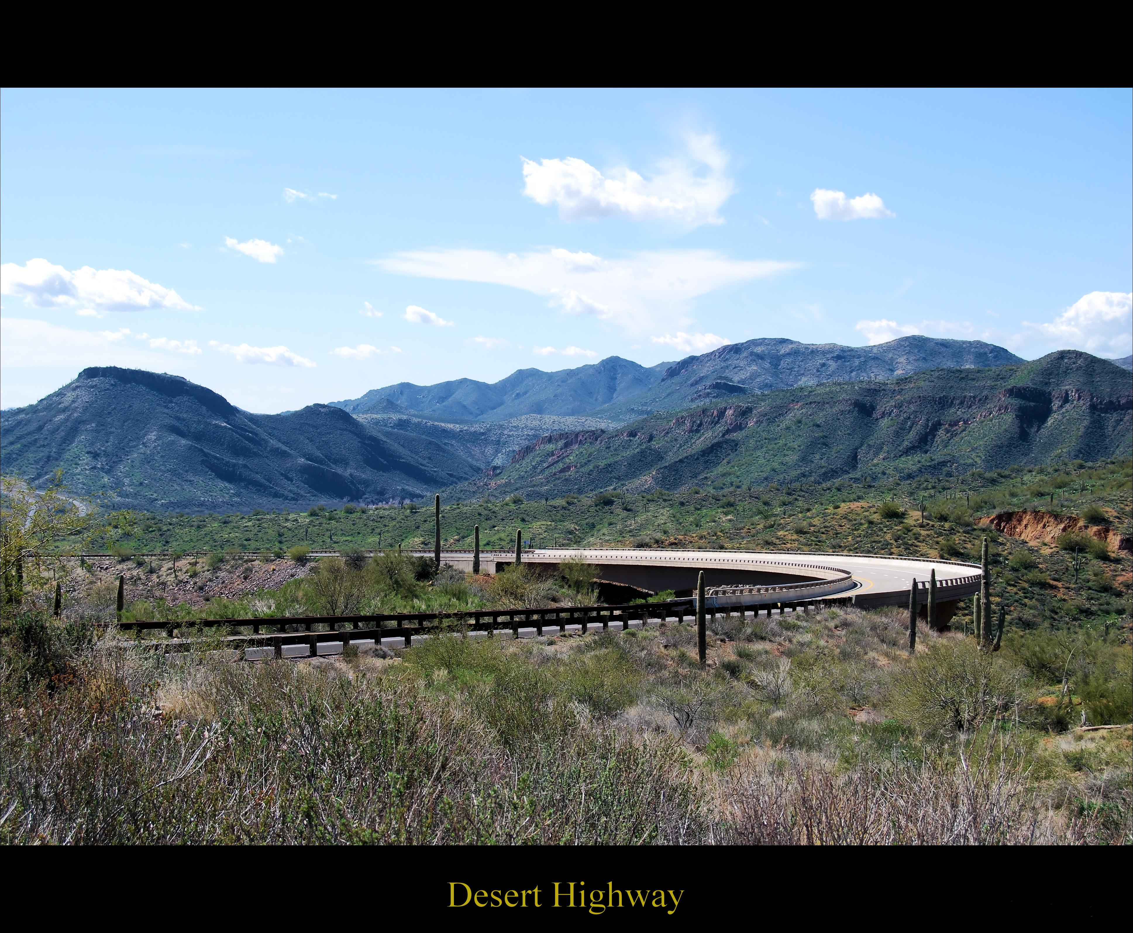
Desert Highway

Four Peaks Rd (FR143)

View from the top of Mt Ord, Gila County, Arizona

Four Peaks Rd (FR143)

Four Peaks Rd (FR143)

Four Peaks Rd (FR143)

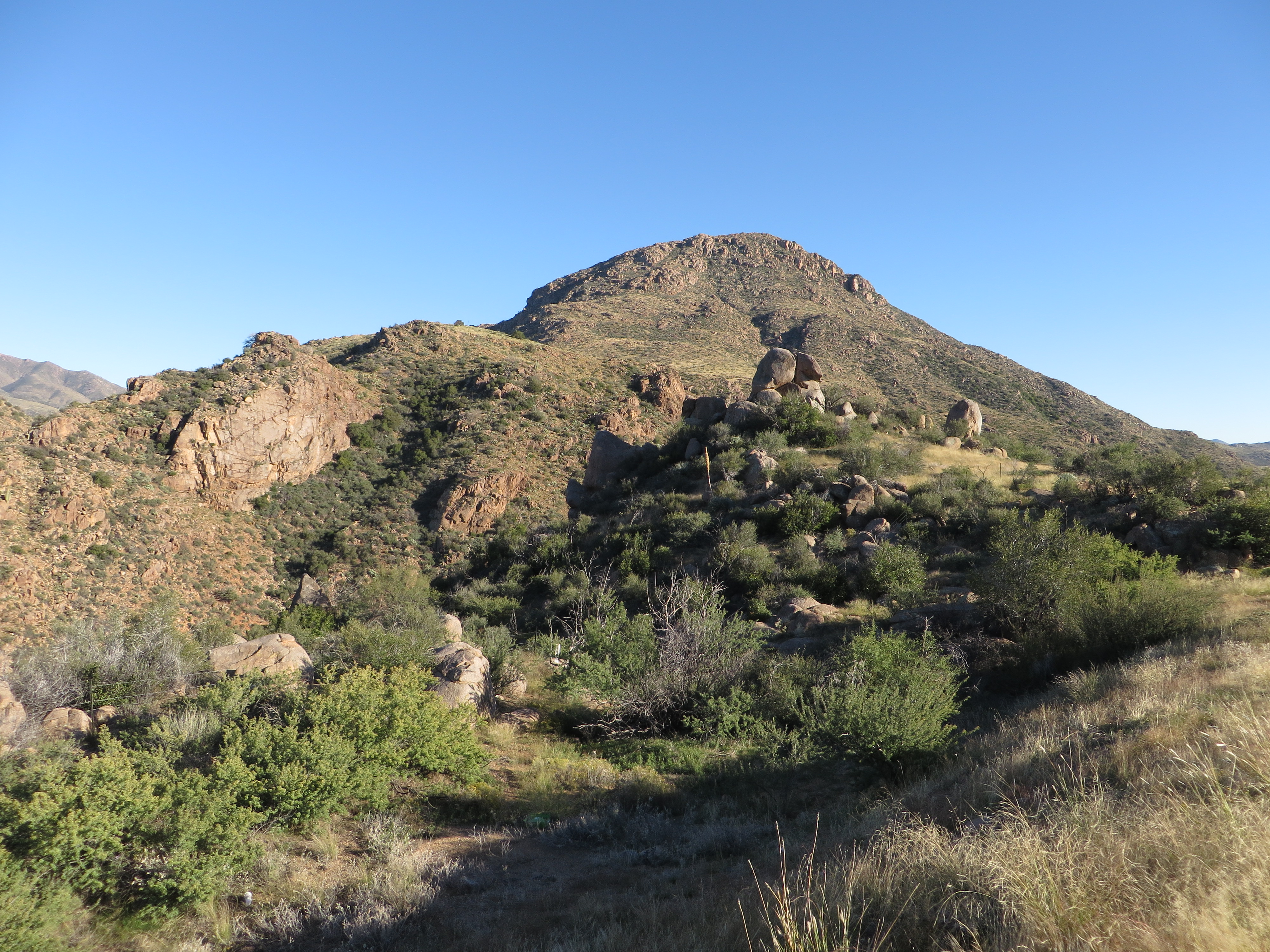
Mt Ord Arizona

Four Peaks Rd (FR143)

Four Peaks Rd (FR143)

Four Peaks Rd (FR143)

Four Peaks Rd (FR143)

Four Peaks Rd (FR143)

Mt. Ord Wedding 3 photos.

Four Peaks Rd (FR143)
Mazatzal Mountains, Beeline Highway, Tonto National Forest, Arizona
Mazatzal Mountains, Beeline Highway, Tonto National Forest, Arizona

Roosevelt Lake
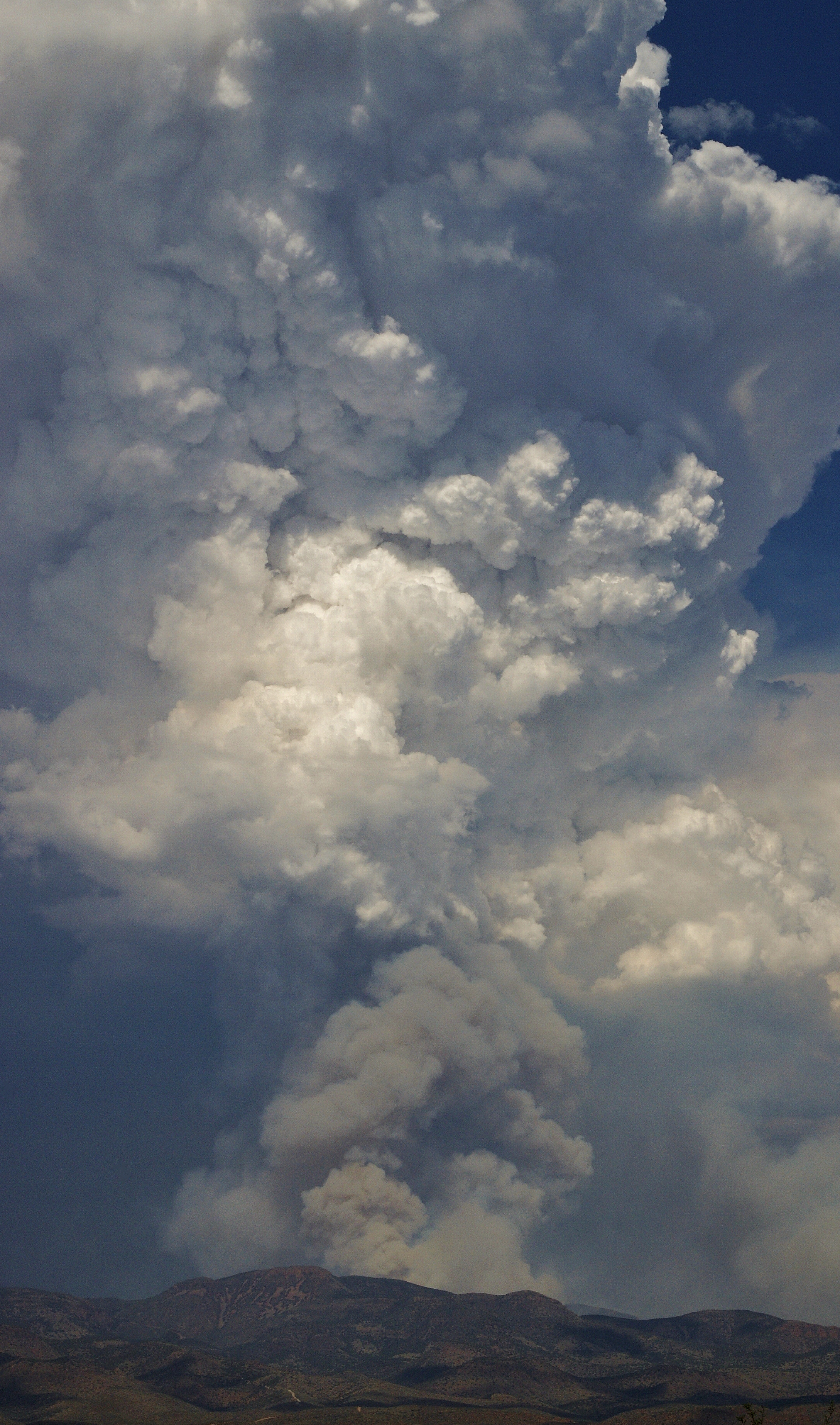
The Mistake Peak Fire
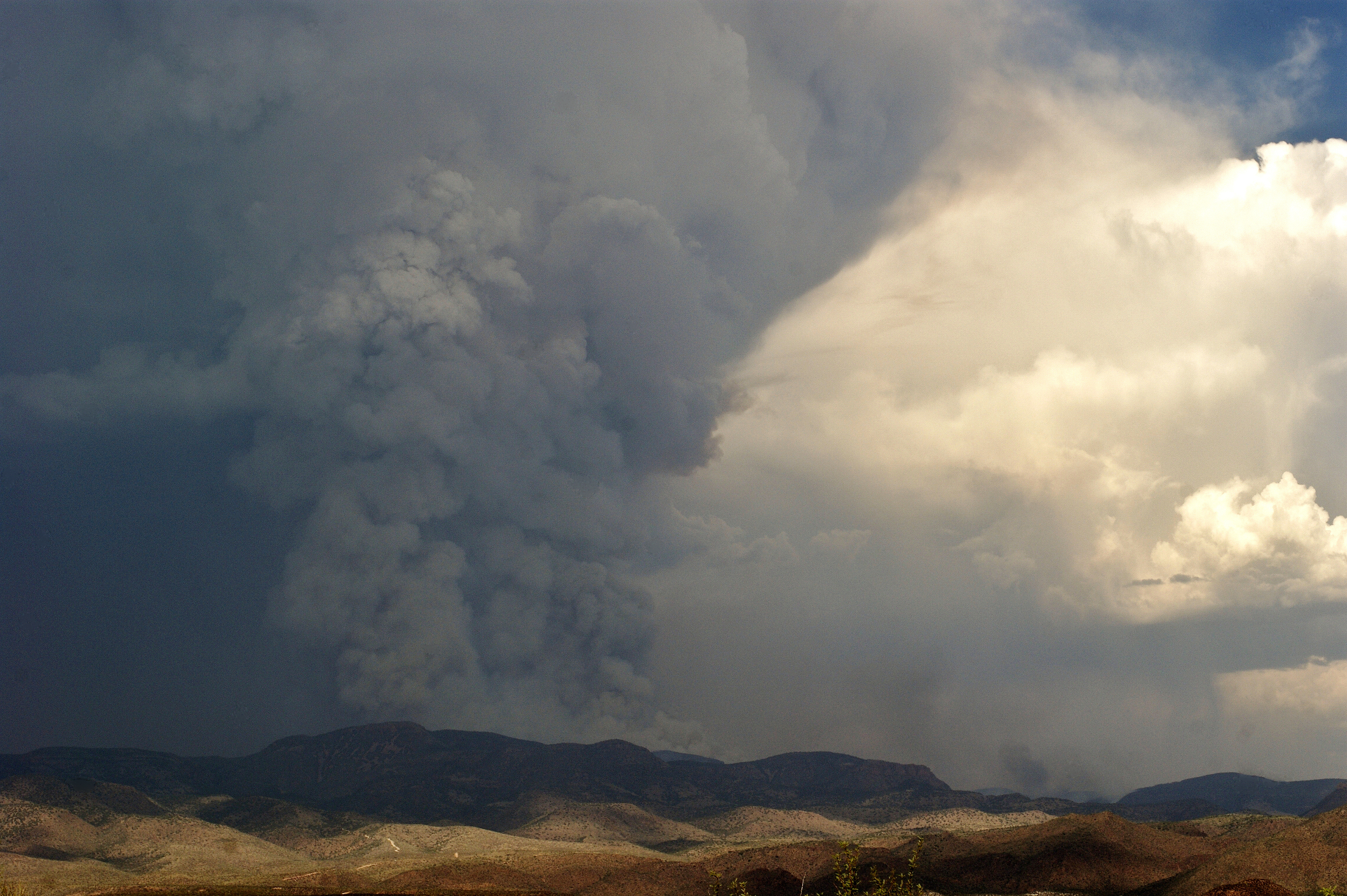
The Mistake Peak Fire
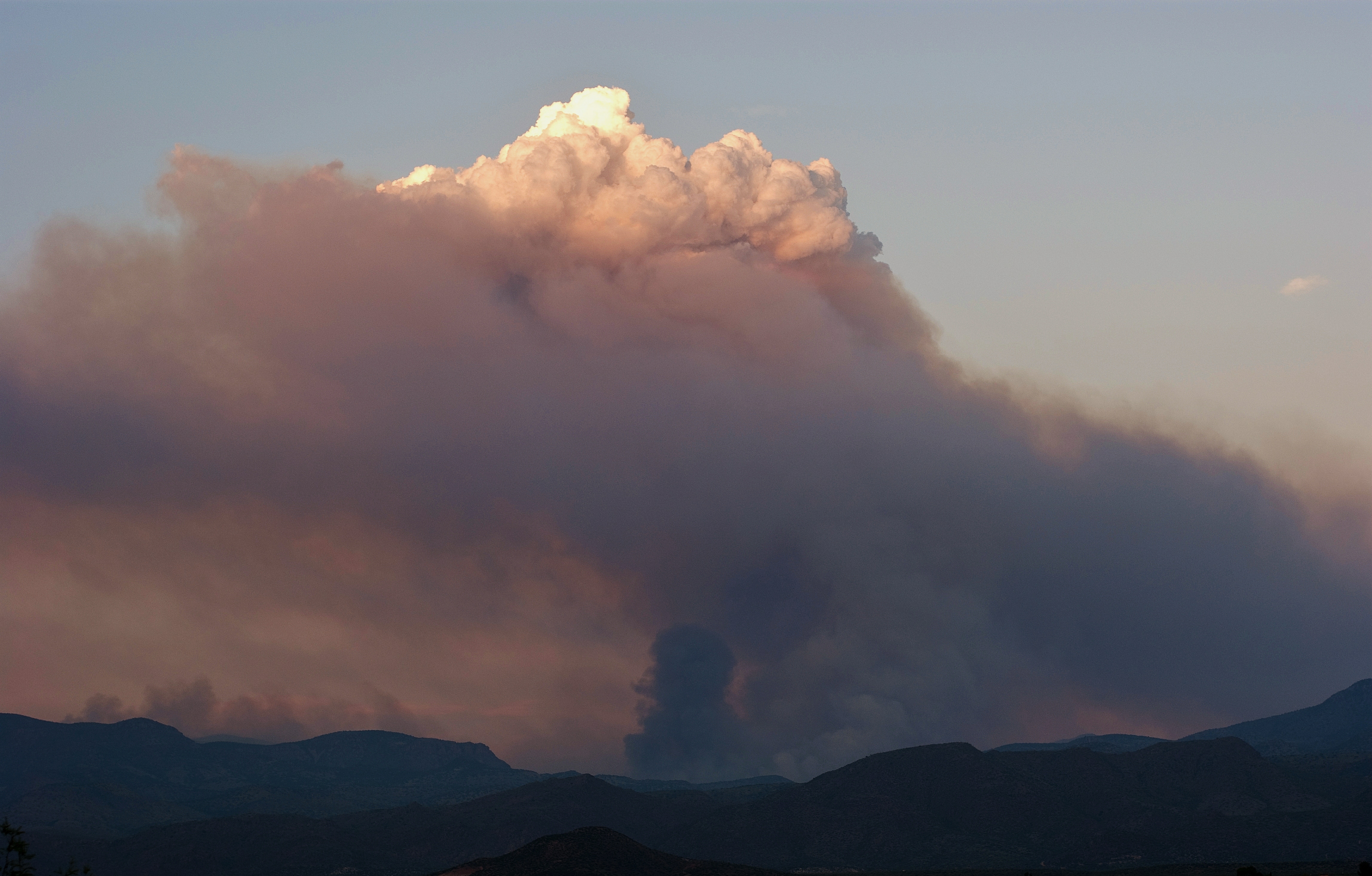
Mistake Peak Fire at Sunset
Topographic Map of Rocky Rd, Tonto Basin, AZ, USA
Find elevation by address:

Places near Rocky Rd, Tonto Basin, AZ, USA:
123 Earl Stevens Rd
Tonto Basin
Punkin Center
Whitney Ranch Estates
27856 E Mt Ord Dr #3
Rio Verde, AZ, USA
228 Windmill Rd
Deercreek Drive
Deercreek Dr, Payson, AZ, USA
873 Deercreek Dr
Gisela
River Road
Mazatzal Peak
573 Oxbow Trail
Oxbow Trail, Payson, AZ, USA
7674 W Gibson Ranch Rd
782 W Colt Ln
North Peak
West Gibson Ranch Road
Mazatzal Hotel & Casino
Recent Searches:
- Elevation of N, Mt Pleasant, UT, USA
- Elevation of 6 Rue Jules Ferry, Beausoleil, France
- Elevation of Sattva Horizon, 4JC6+G9P, Vinayak Nagar, Kattigenahalli, Bengaluru, Karnataka, India
- Elevation of Great Brook Sports, Gold Star Hwy, Groton, CT, USA
- Elevation of 10 Mountain Laurels Dr, Nashua, NH, USA
- Elevation of 16 Gilboa Ln, Nashua, NH, USA
- Elevation of Laurel Rd, Townsend, TN, USA
- Elevation of 3 Nestling Wood Dr, Long Valley, NJ, USA
- Elevation of Ilungu, Tanzania
- Elevation of Yellow Springs Road, Yellow Springs Rd, Chester Springs, PA, USA