Elevation of Mazatzal Peak, Arizona, USA
Location: United States > Arizona > Gila County > Payson >
Longitude: -111.46152
Latitude: 34.0625381
Elevation: 2401m / 7877feet
Barometric Pressure: 76KPa
Elevation Map:
Satellite Map:
Related Photos:
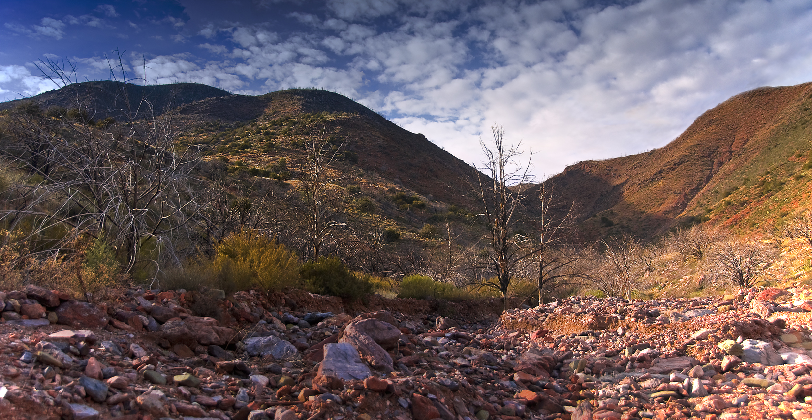
Up The Maw
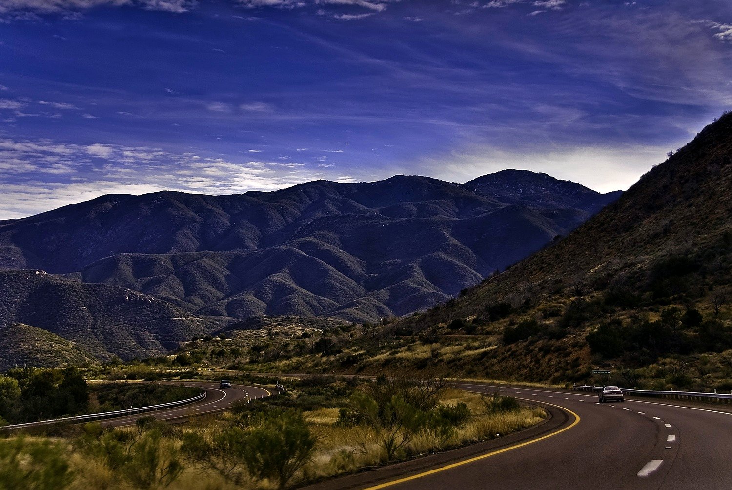
On The Beeline Highway
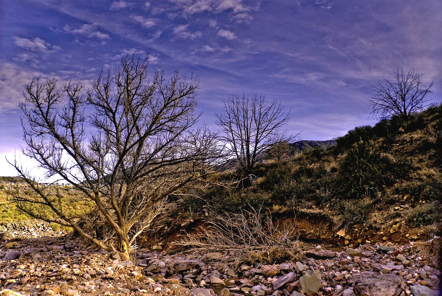
A River Ran Under It
Topographic Map of Mazatzal Peak, Arizona, USA
Find elevation by address:

Places near Mazatzal Peak, Arizona, USA:
North Peak
228 Windmill Rd
Deercreek Dr, Payson, AZ, USA
Deercreek Drive
873 Deercreek Dr
573 Oxbow Trail
Oxbow Trail, Payson, AZ, USA
Gisela
27856 E Mt Ord Dr #3
River Road
Whitney Ranch Estates
782 W Colt Ln
West Gibson Ranch Road
Mazatzal Hotel & Casino
7674 W Gibson Ranch Rd
2609 W Bulla Dr
2609 W Bulla Dr
205 E Phoenix St
308 W Frontier St
Payson
Recent Searches:
- Elevation of Corso Fratelli Cairoli, 35, Macerata MC, Italy
- Elevation of Tallevast Rd, Sarasota, FL, USA
- Elevation of 4th St E, Sonoma, CA, USA
- Elevation of Black Hollow Rd, Pennsdale, PA, USA
- Elevation of Oakland Ave, Williamsport, PA, USA
- Elevation of Pedrógão Grande, Portugal
- Elevation of Klee Dr, Martinsburg, WV, USA
- Elevation of Via Roma, Pieranica CR, Italy
- Elevation of Tavkvetili Mountain, Georgia
- Elevation of Hartfords Bluff Cir, Mt Pleasant, SC, USA