Elevation of Windmill Rd, Payson, AZ, USA
Location: United States > Arizona > Gila County > Payson >
Longitude: -111.36017
Latitude: 34.0600923
Elevation: 942m / 3091feet
Barometric Pressure: 91KPa
Elevation Map:
Satellite Map:
Related Photos:

Panoramic Mountain View

Mazatzal Mountains

A River Ran Under It

Up The Maw

On The Beeline Highway

View after killer steep hike up the ridge

Shake Tree Trail View

Arizona Milky Way

IMG_4978.CR2

Superstition Mountains

Scrub Brush and Cactus (as far as the eye can see)...
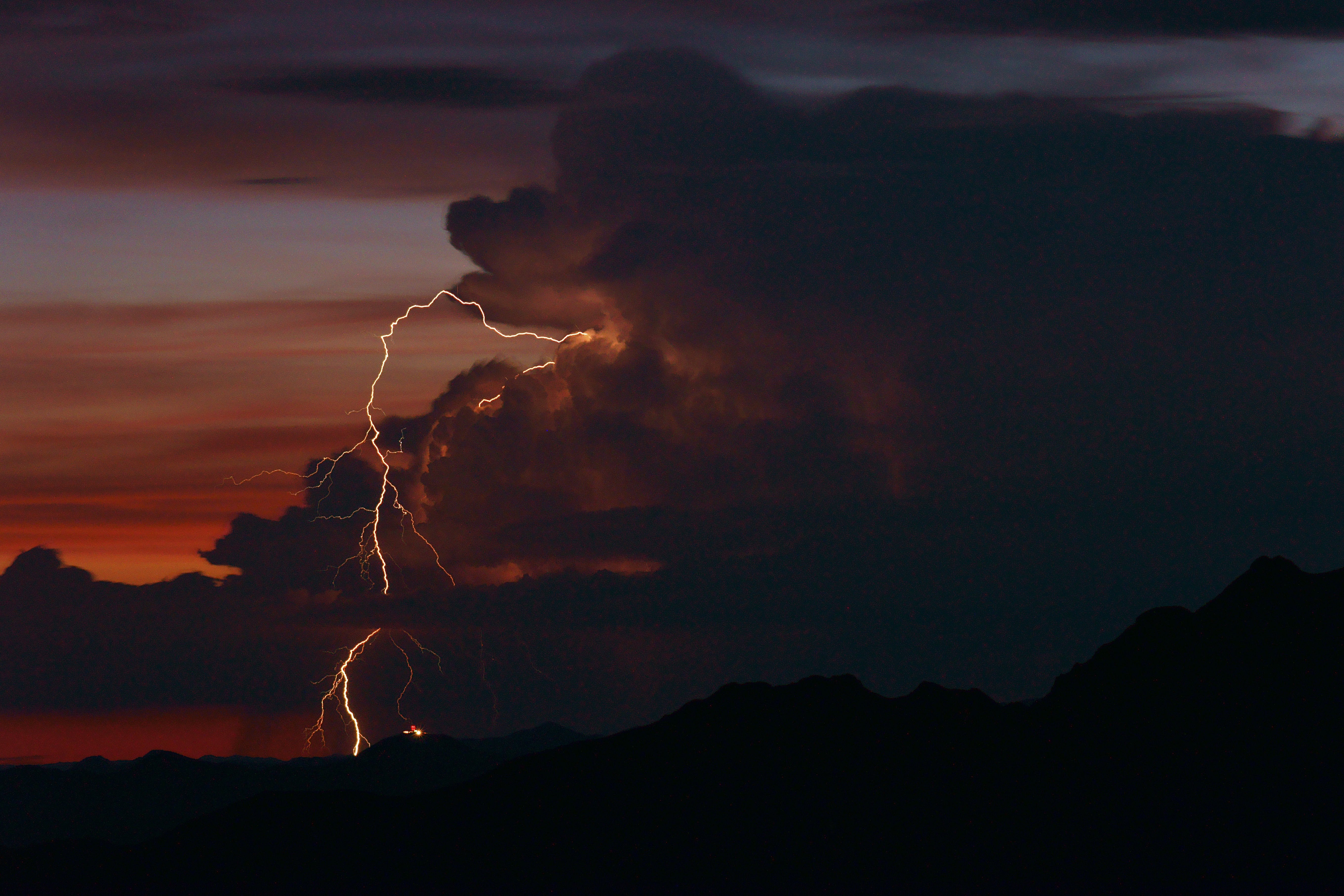
Distant Storm

Jakes Corner II

Do not enter sign

Grand Canyon

evening colors

Rim Granite

Mazatzal Mountains, Beeline Highway, Tonto National Forest, Arizona

Drive By Landscapes

Arizona Reserva Navajo

First Stop

Shake Tree Canyon

AZ-188 South - Distance Marker

Mount Ord
Topographic Map of Windmill Rd, Payson, AZ, USA
Find elevation by address:

Places near Windmill Rd, Payson, AZ, USA:
Deercreek Drive
Deercreek Dr, Payson, AZ, USA
873 Deercreek Dr
Gisela
River Road
Mazatzal Peak
573 Oxbow Trail
Oxbow Trail, Payson, AZ, USA
782 W Colt Ln
7674 W Gibson Ranch Rd
West Gibson Ranch Road
North Peak
Mazatzal Hotel & Casino
205 E Phoenix St
Payson
308 W Frontier St
410 S Tonto St
Days Inn & Suites By Wyndham Payson
301 S Beeline Hwy Ste A
206 S Beeline Hwy
Recent Searches:
- Elevation of Kambingan Sa Pansol Atbp., Purok 7 Pansol, Candaba, Pampanga, Philippines
- Elevation of Pinewood Dr, New Bern, NC, USA
- Elevation of Mountain View, CA, USA
- Elevation of Foligno, Province of Perugia, Italy
- Elevation of Blauwestad, Netherlands
- Elevation of Bella Terra Blvd, Estero, FL, USA
- Elevation of Estates Loop, Priest River, ID, USA
- Elevation of Woodland Oak Pl, Thousand Oaks, CA, USA
- Elevation of Brownsdale Rd, Renfrew, PA, USA
- Elevation of Corcoran Ln, Suffolk, VA, USA