Elevation of Deercreek Dr, Payson, AZ, USA
Location: United States > Arizona > Gila County > Payson >
Longitude: -111.35419
Latitude: 34.0674164
Elevation: 940m / 3084feet
Barometric Pressure: 91KPa
Elevation Map:
Satellite Map:
Related Photos:
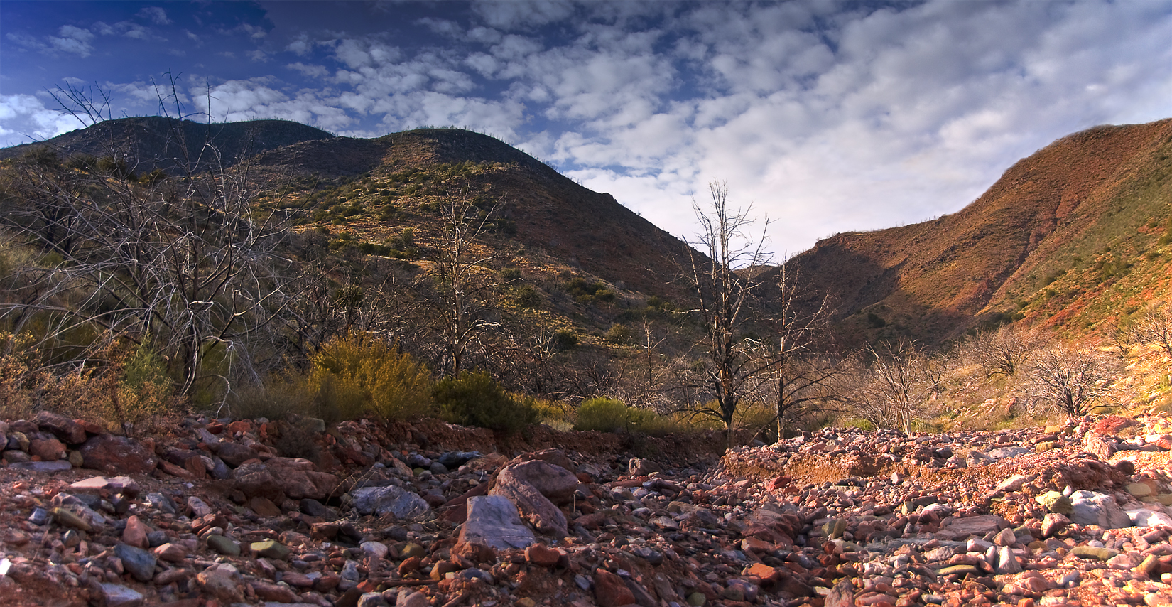
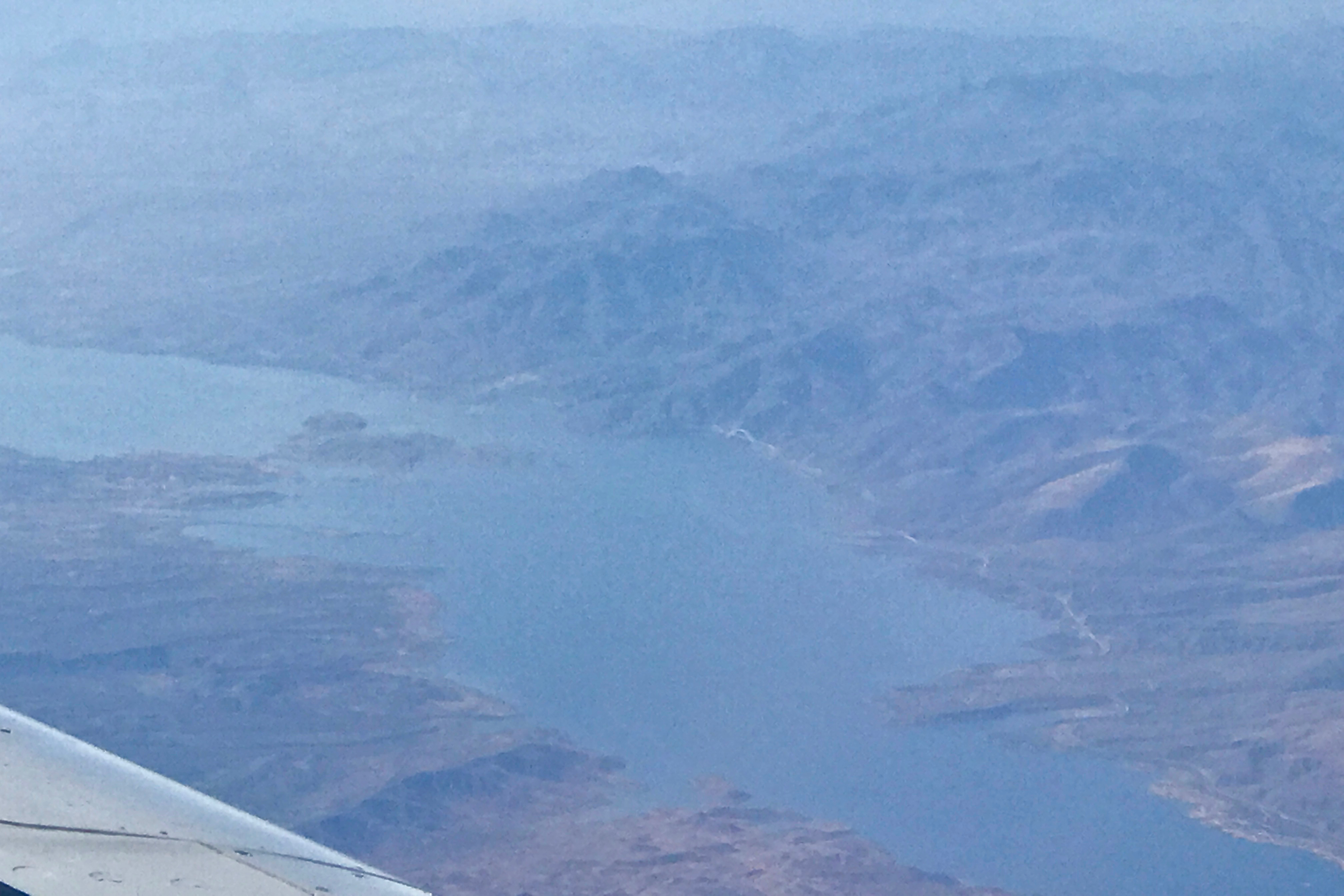
Up The Maw
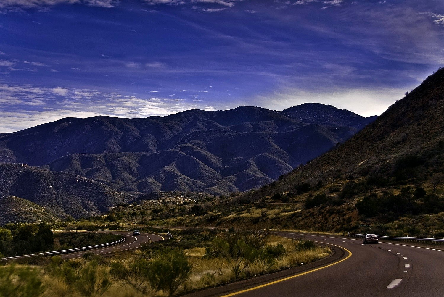
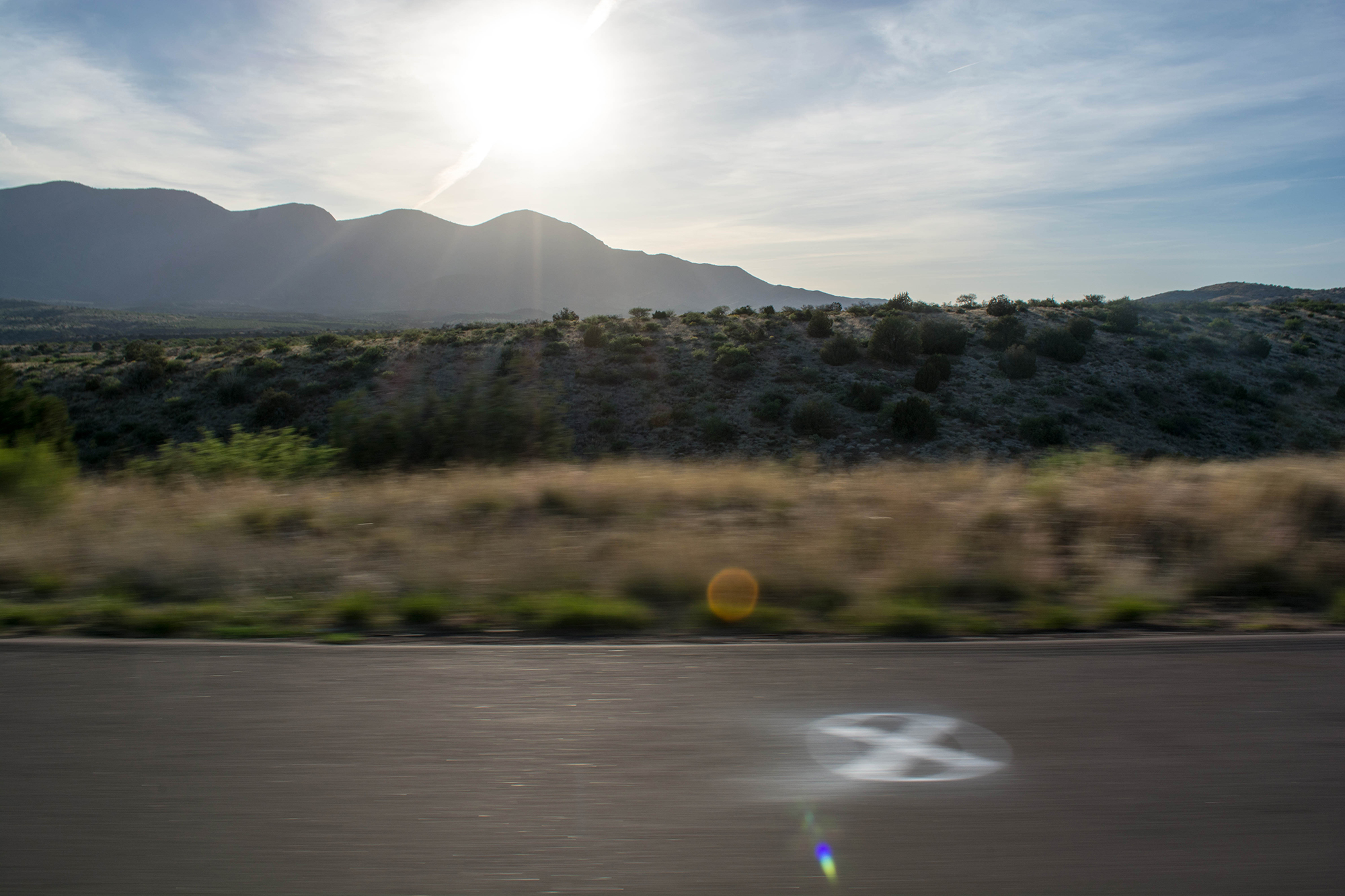
On The Beeline Highway
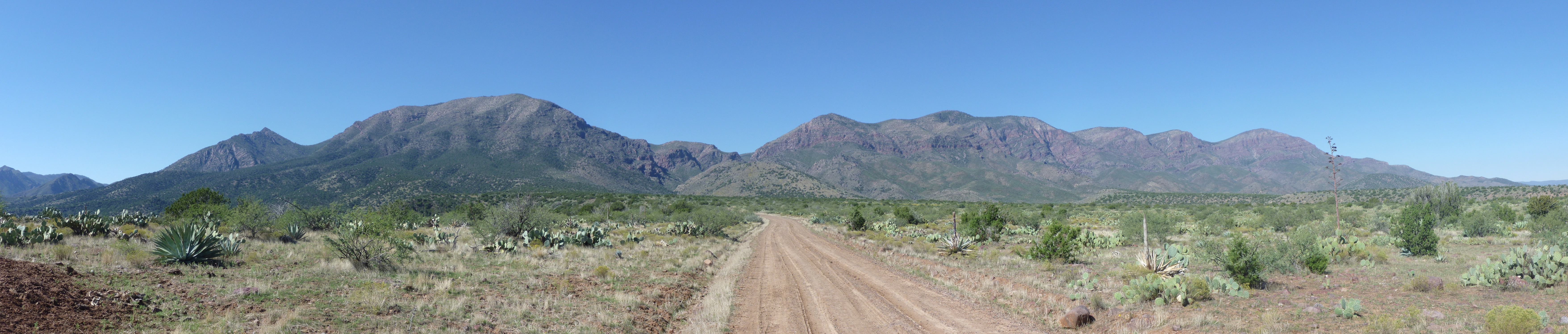
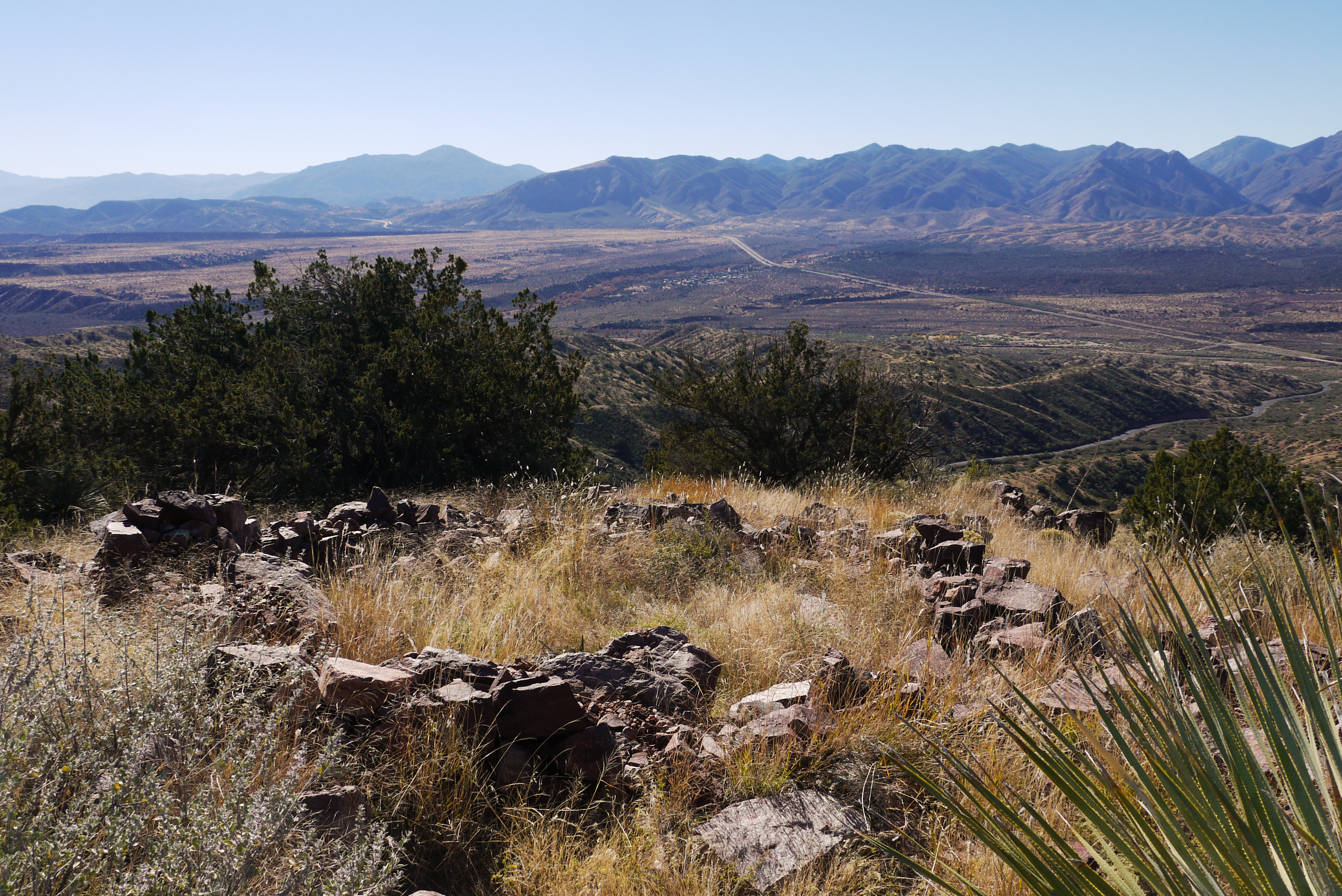
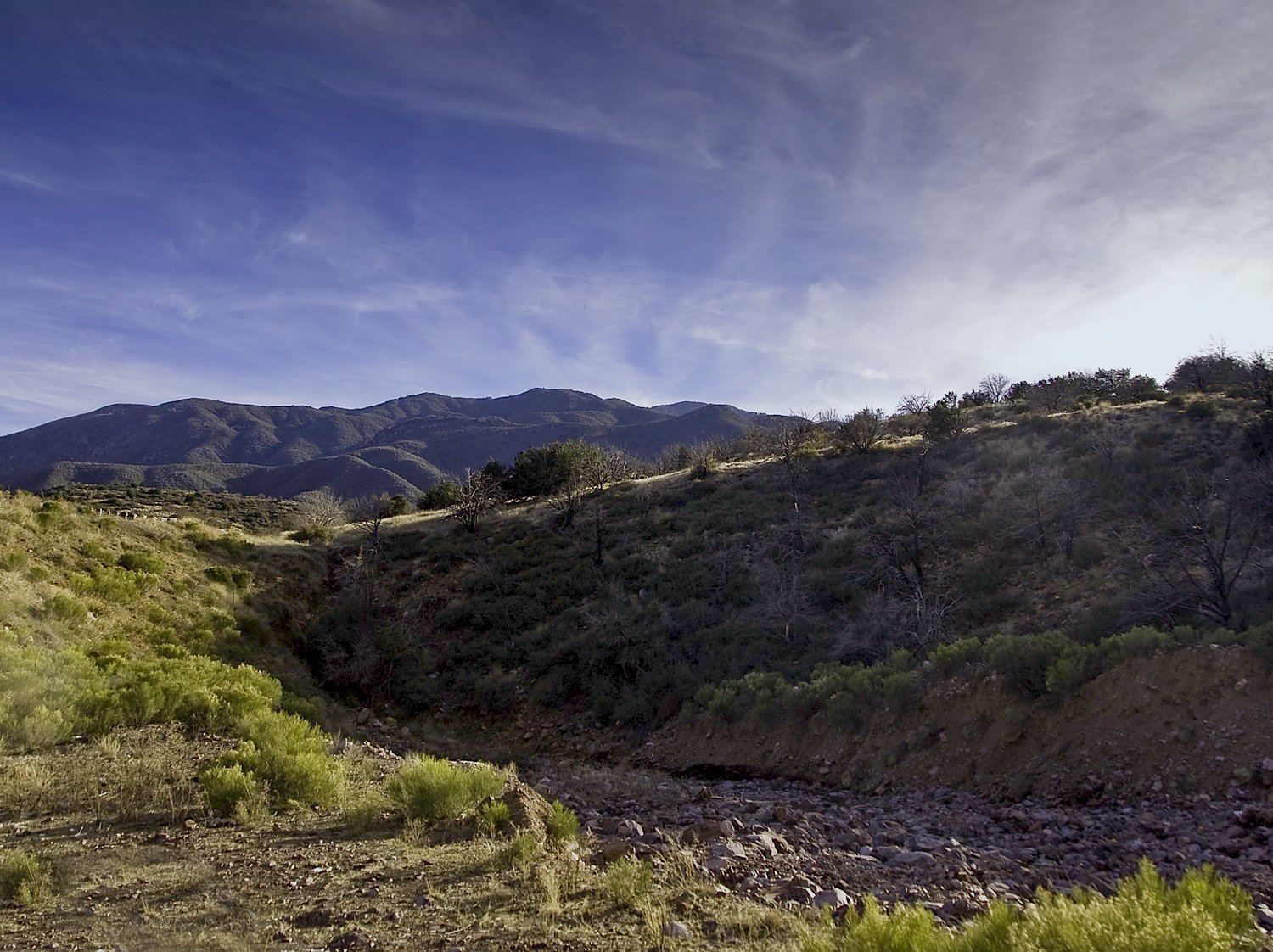
Panoramic Mountain View
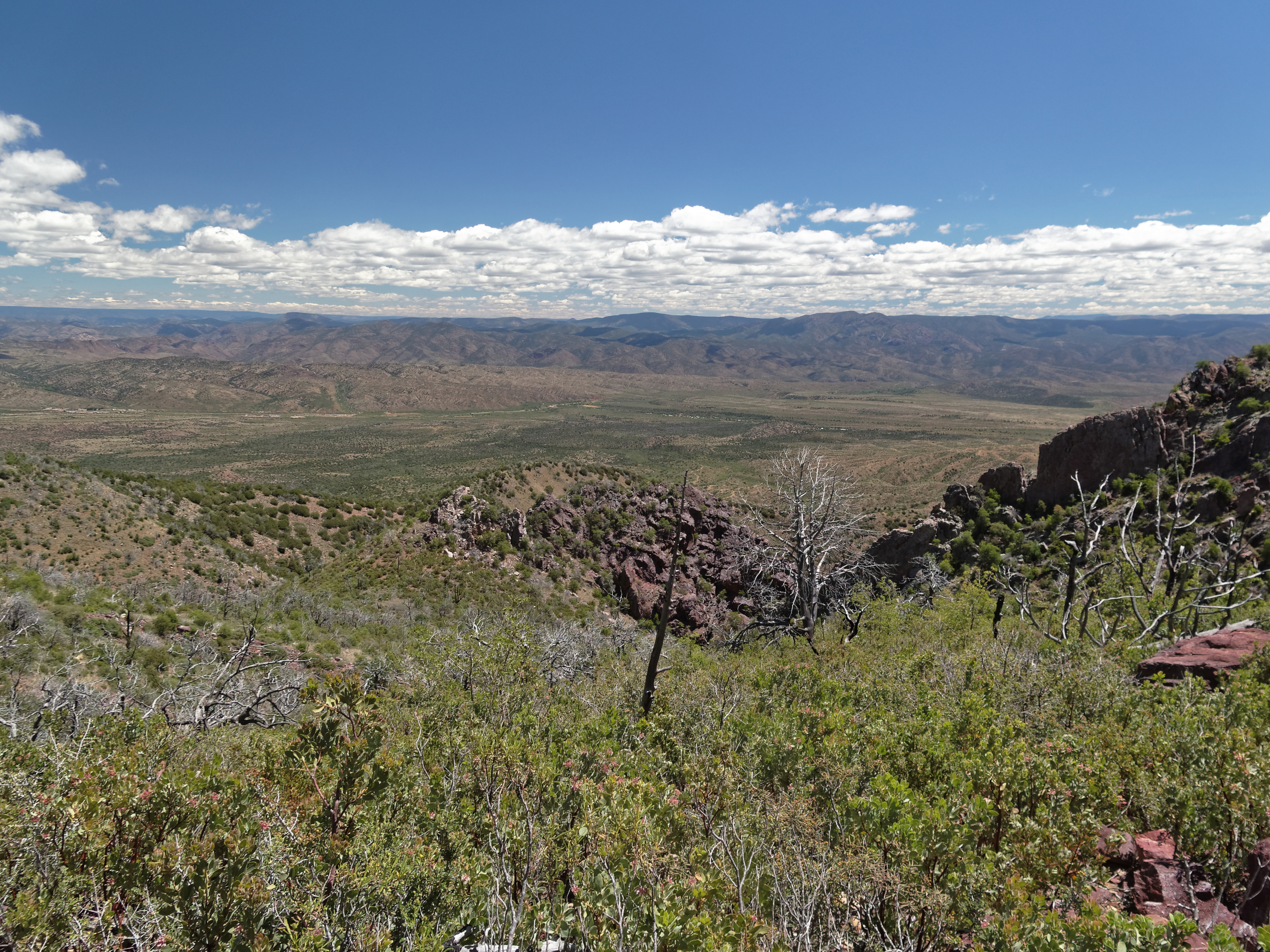
Shake Tree Trail View
Scrub Brush and Cactus (as far as the eye can see)...
Arizona Milky Way
evening colors
IMG00129-20090804-0952.jpg
Jakes Corner II
Drive By Landscapes
Mount Ord

Mount Ord
Arizona 2014
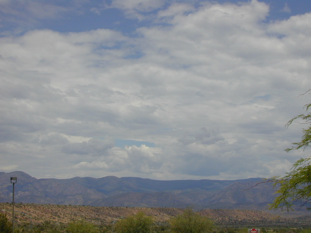
Running Dry
Gisela, Arizona

Buckwheat Ground Cover Just Wild.

Arizona 2014
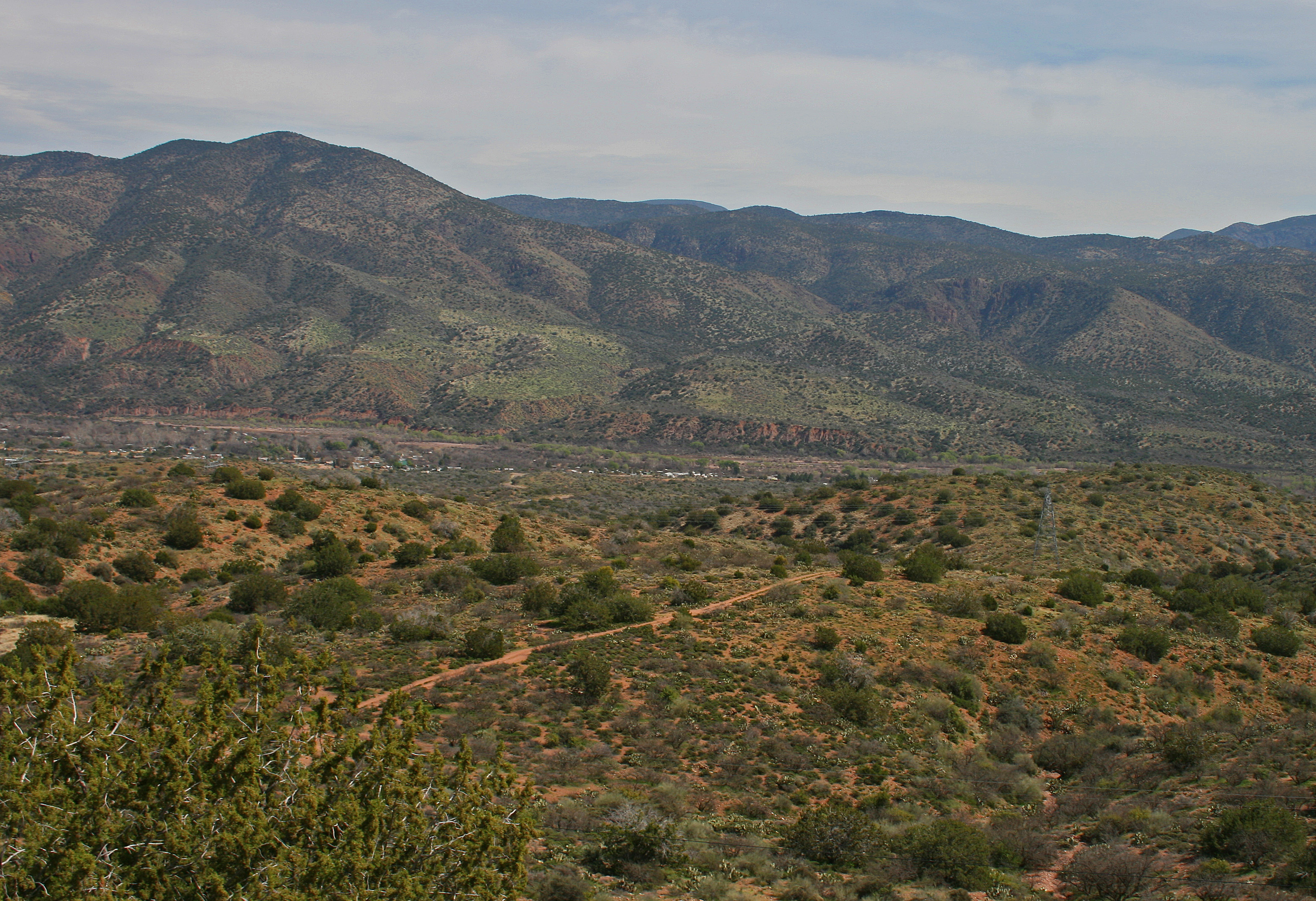
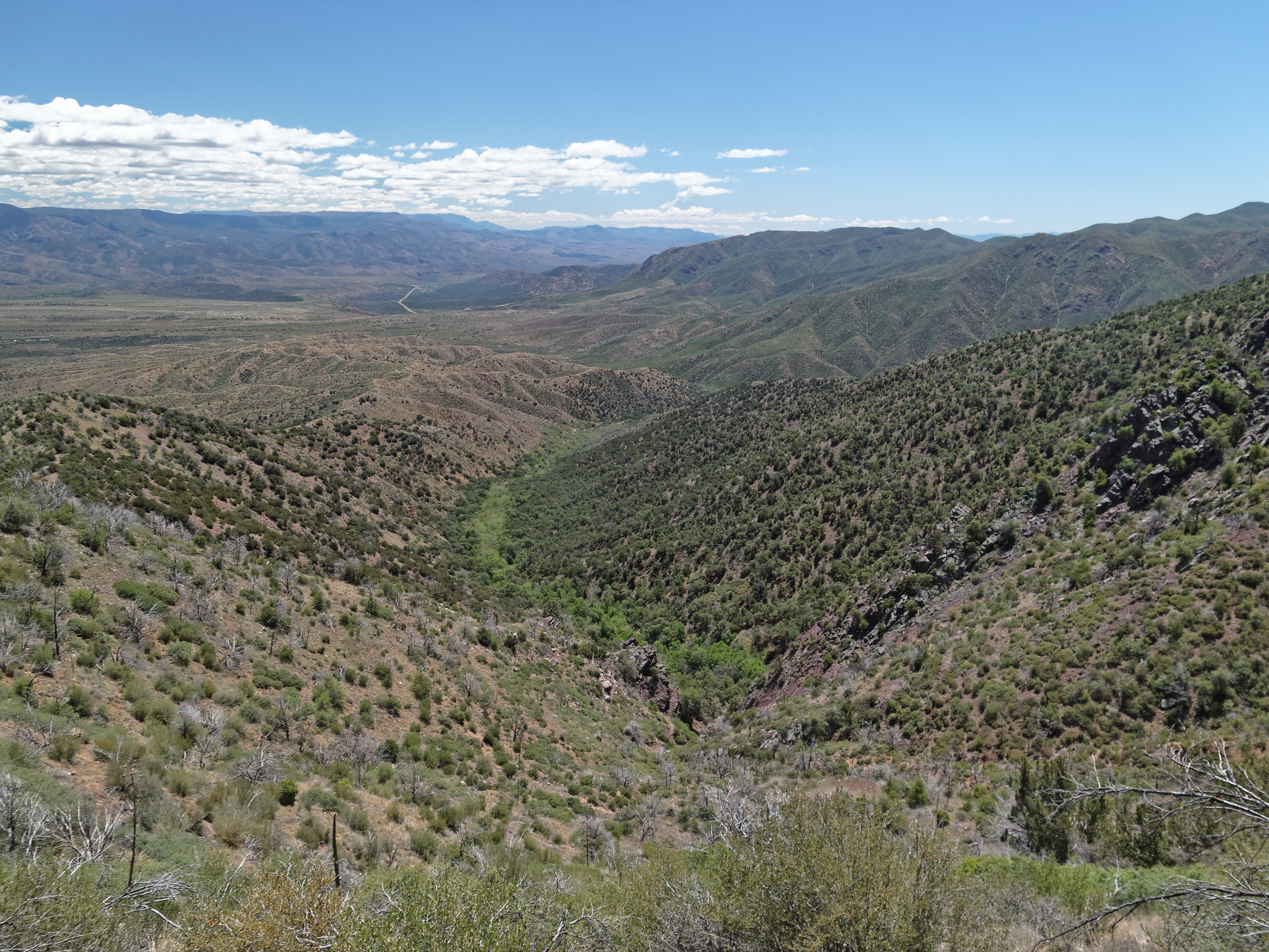
Mazatzal Foothills
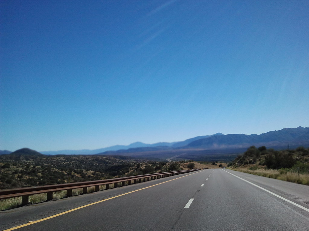
Arizona Highway 89 southbound
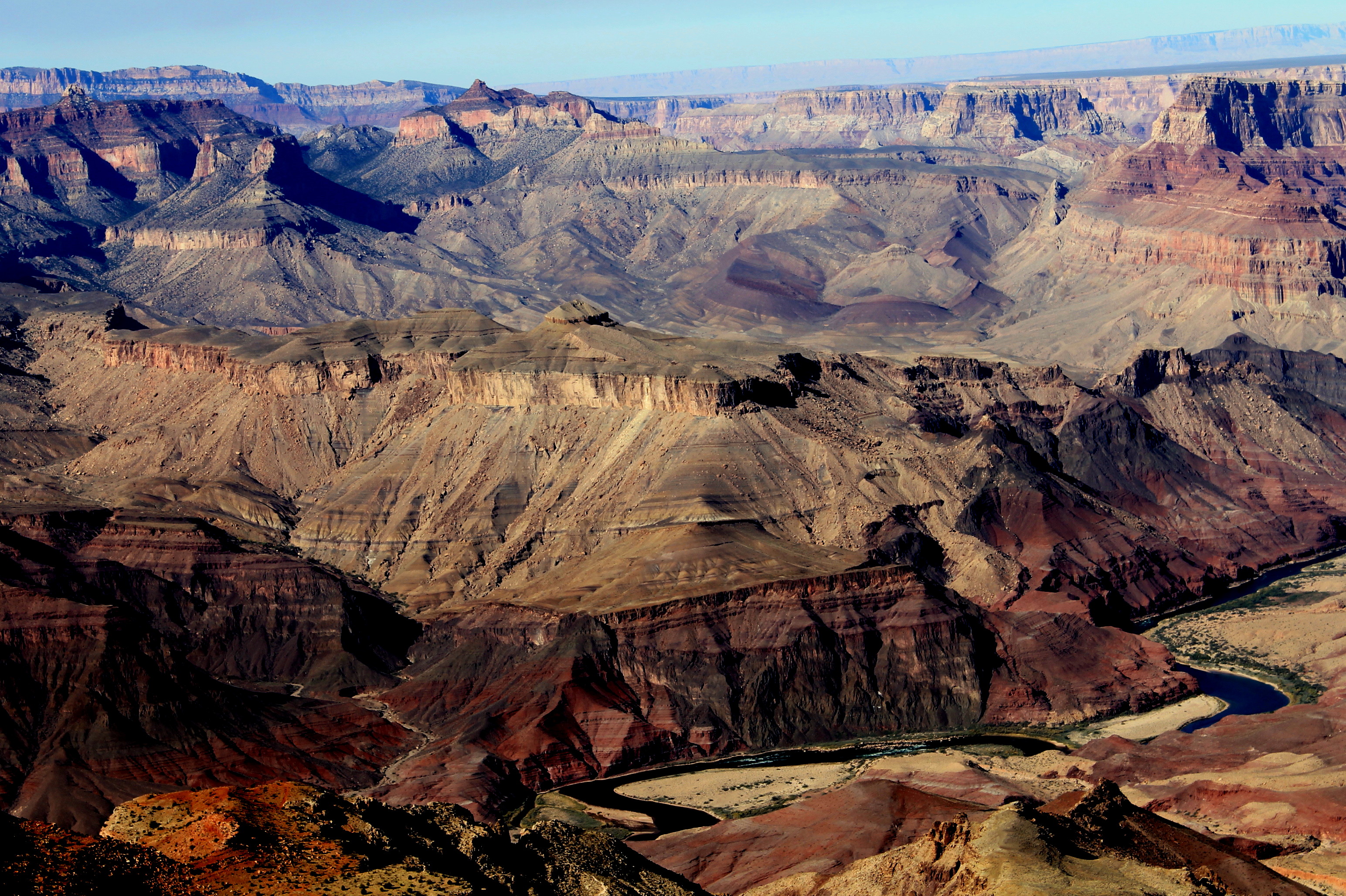
Grand Canyon
Mount Ord
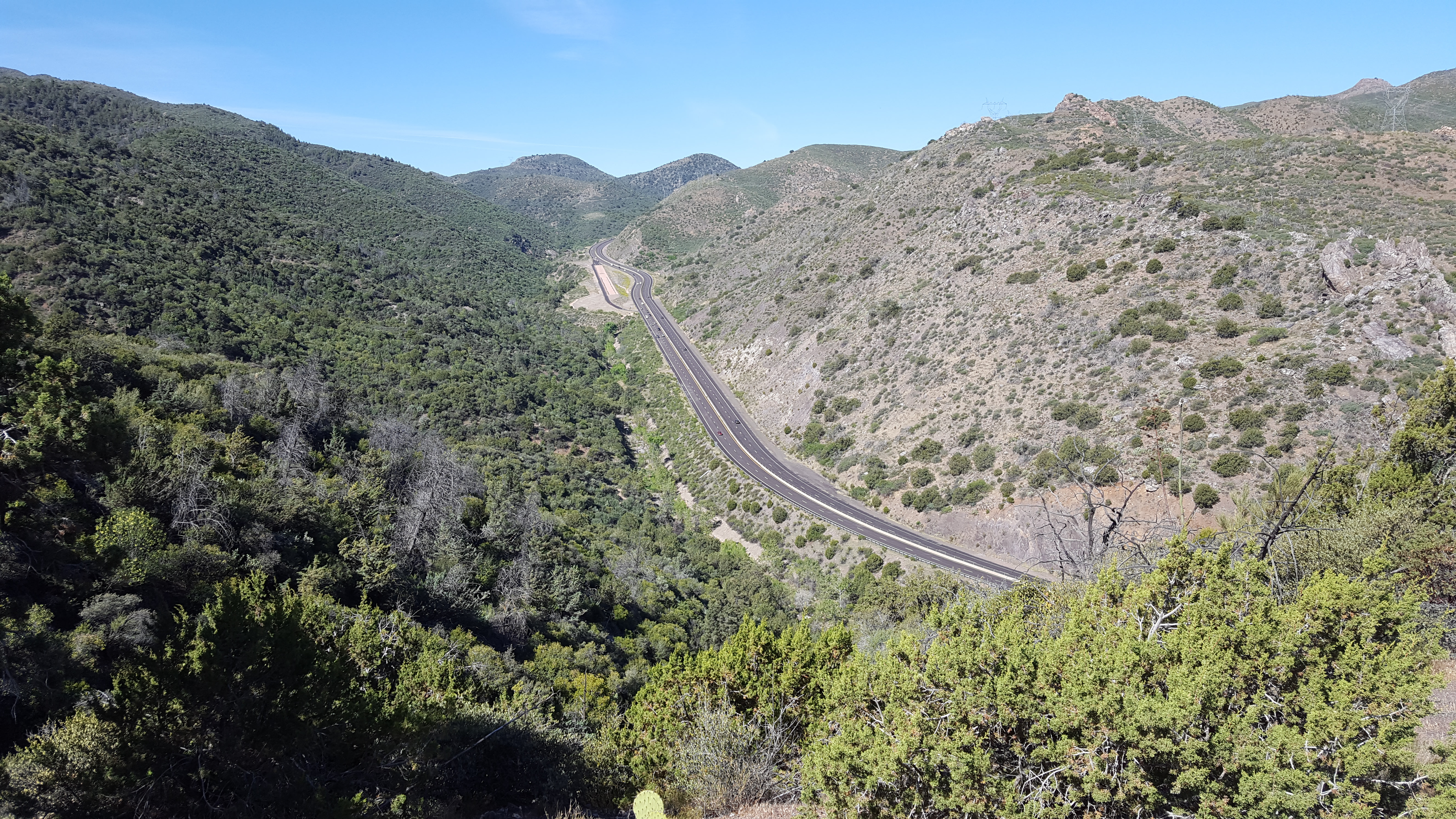
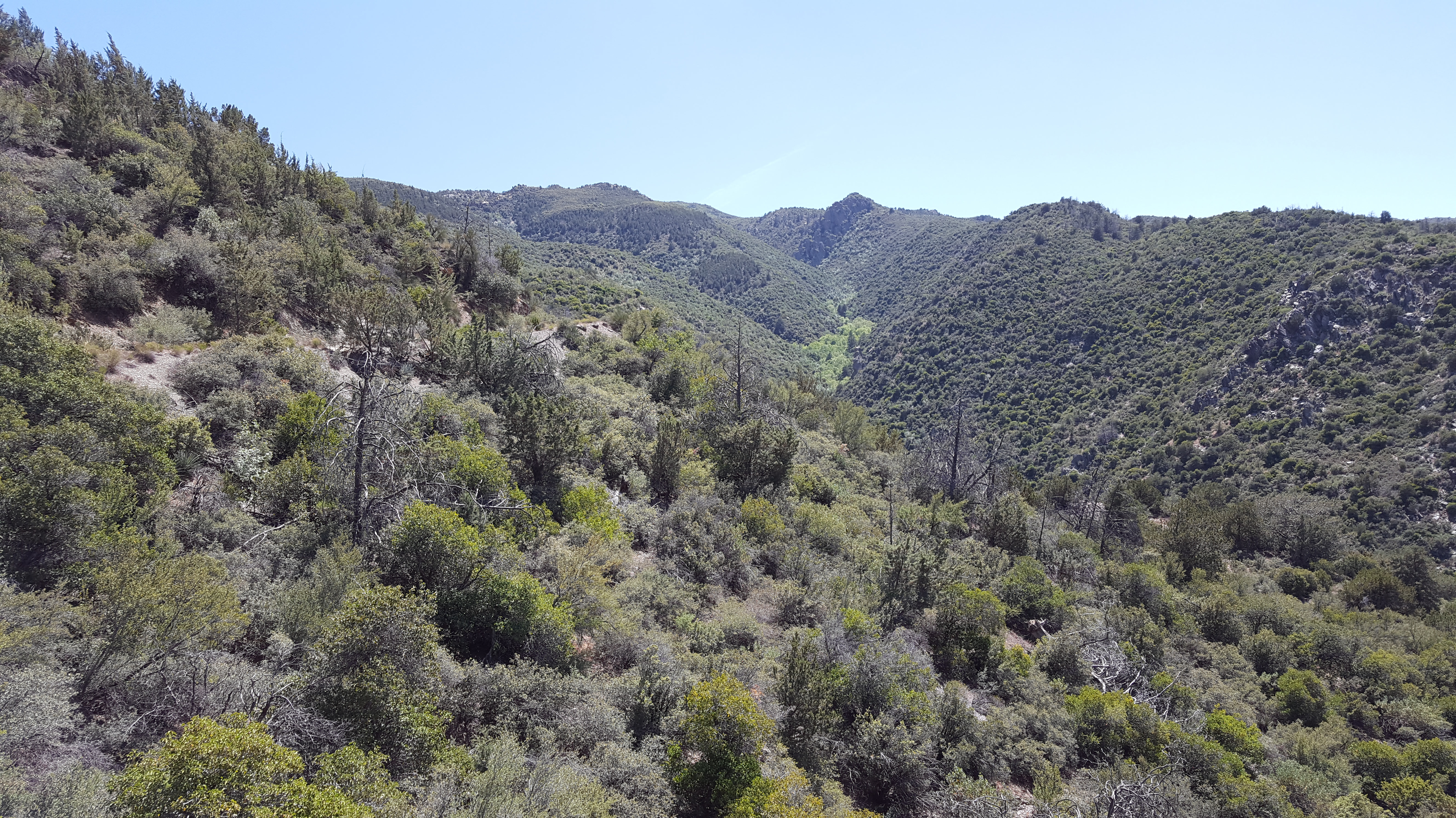
Shake Tree Canyon
Topographic Map of Deercreek Dr, Payson, AZ, USA
Find elevation by address:

Places near Deercreek Dr, Payson, AZ, USA:
Deercreek Dr, Payson, AZ, USA
Deercreek Drive
228 Windmill Rd
Gisela
River Road
Mazatzal Peak
573 Oxbow Trail
Oxbow Trail, Payson, AZ, USA
782 W Colt Ln
7674 W Gibson Ranch Rd
West Gibson Ranch Road
North Peak
Mazatzal Hotel & Casino
205 E Phoenix St
Payson
308 W Frontier St
410 S Tonto St
Days Inn & Suites By Wyndham Payson
301 S Beeline Hwy Ste A
206 S Beeline Hwy
Recent Searches:
- Elevation of Kambingan Sa Pansol Atbp., Purok 7 Pansol, Candaba, Pampanga, Philippines
- Elevation of Pinewood Dr, New Bern, NC, USA
- Elevation of Mountain View, CA, USA
- Elevation of Foligno, Province of Perugia, Italy
- Elevation of Blauwestad, Netherlands
- Elevation of Bella Terra Blvd, Estero, FL, USA
- Elevation of Estates Loop, Priest River, ID, USA
- Elevation of Woodland Oak Pl, Thousand Oaks, CA, USA
- Elevation of Brownsdale Rd, Renfrew, PA, USA
- Elevation of Corcoran Ln, Suffolk, VA, USA