Elevation of Punkin Center, Tonto Basin, AZ, USA
Location: United States > Arizona > Gila County > Tonto Basin >
Longitude: -111.31318
Latitude: 33.8722656
Elevation: 711m / 2333feet
Barometric Pressure: 93KPa
Elevation Map:
Satellite Map:
Related Photos:
Not Happening
Directional View

Four Peaks Rd (FR143)

Four Peaks Rd (FR143)

View from the top of Mt Ord, Gila County, Arizona

Four Peaks Rd (FR143)
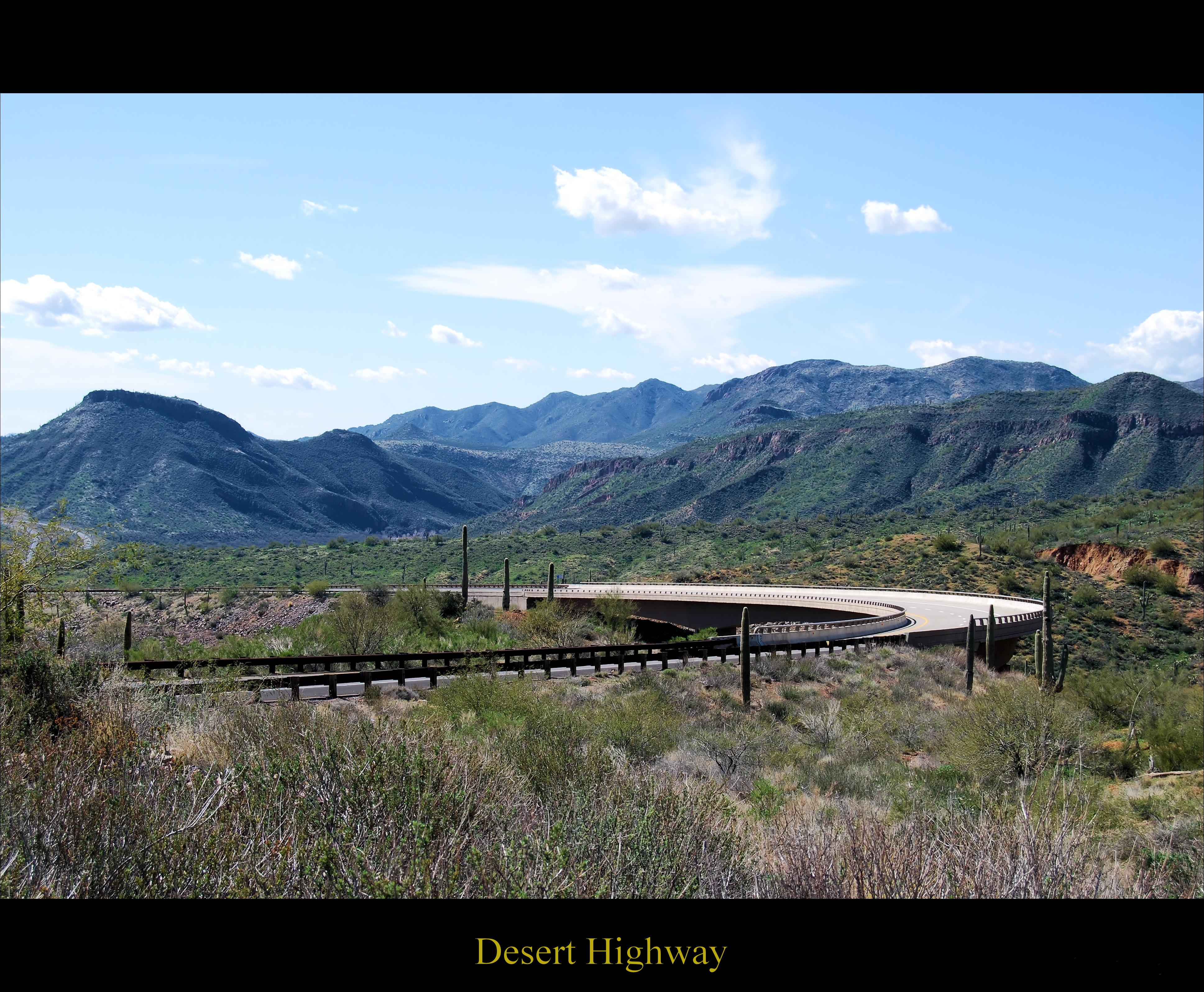
Desert Highway

View from the top of Mt Ord, Gila County, Arizona

Four Peaks Rd (FR143)

Four Peaks Rd (FR143)

Four Peaks Rd (FR143)

Mt Ord Arizona

Four Peaks Rd (FR143)

Four Peaks Rd (FR143)

Four Peaks Rd (FR143)

Four Peaks Rd (FR143)

Mt. Ord Wedding 3 photos.

Four Peaks Rd (FR143)

Four Peaks Rd (FR143)

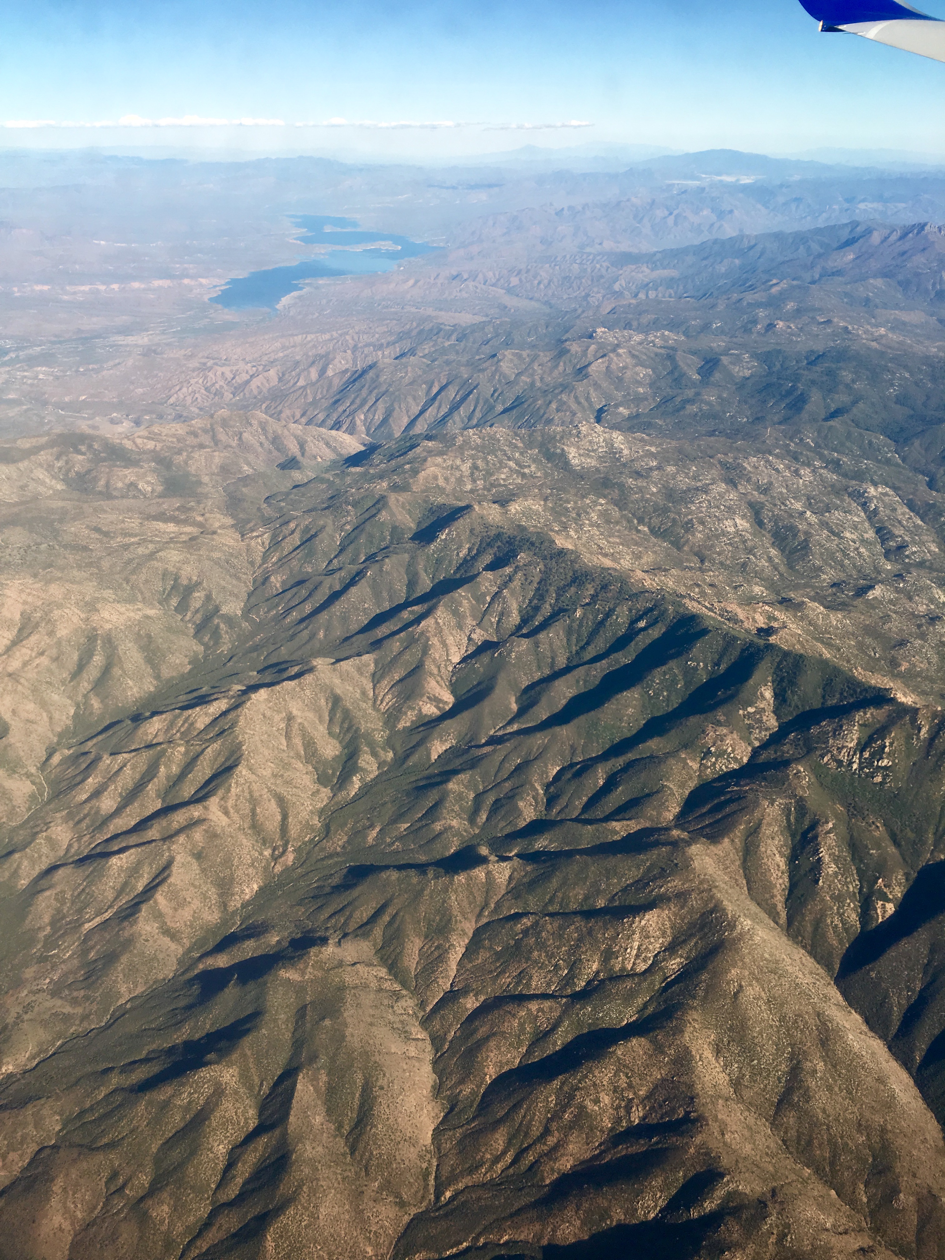
Mt Ord to Bartlett Lake.

Four Peaks Rd (FR143)
Mazatzal Mountains, Beeline Highway, Tonto National Forest, Arizona
Mazatzal Mountains, Beeline Highway, Tonto National Forest, Arizona
Mazatzal Mountains, Beeline Highway, Tonto National Forest, Arizona
Mazatzal Mountains, Beeline Highway, Tonto National Forest, Arizona
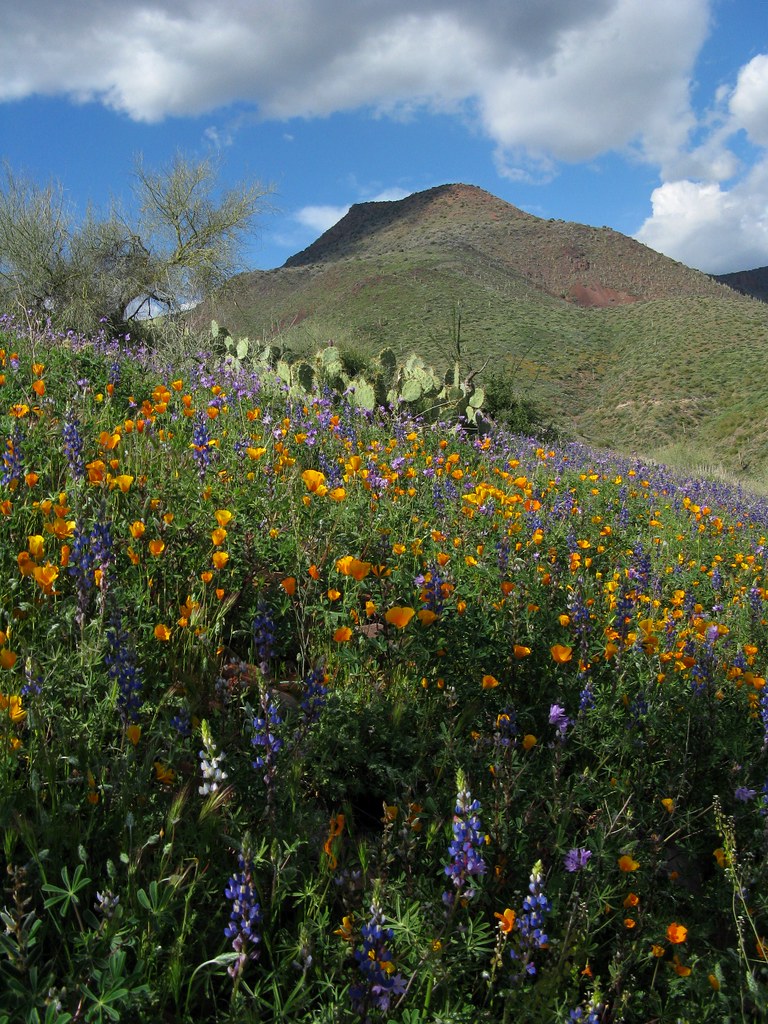
Scrub Brush and Cactus (as far as the eye can see)...
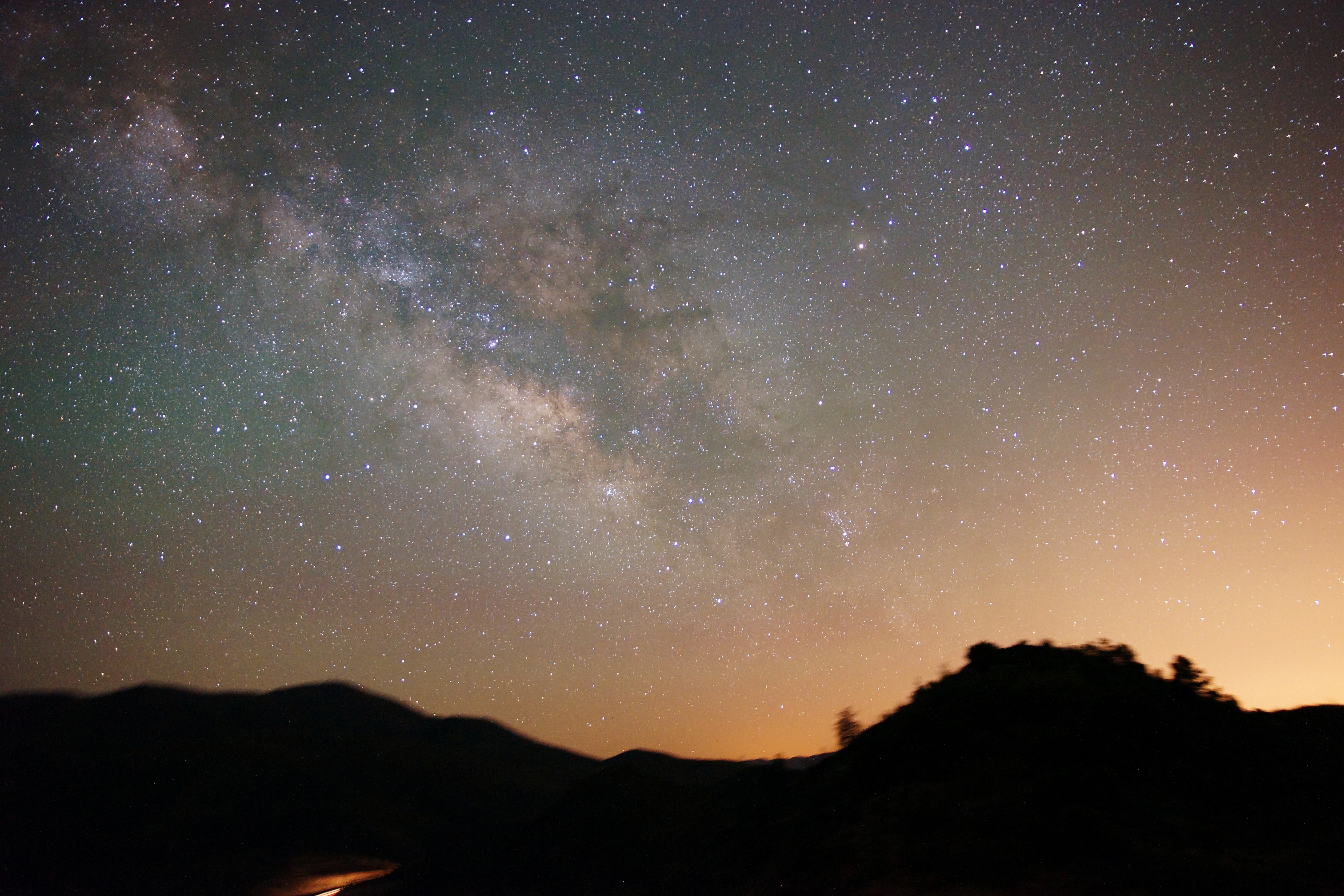
Arizona Milky Way
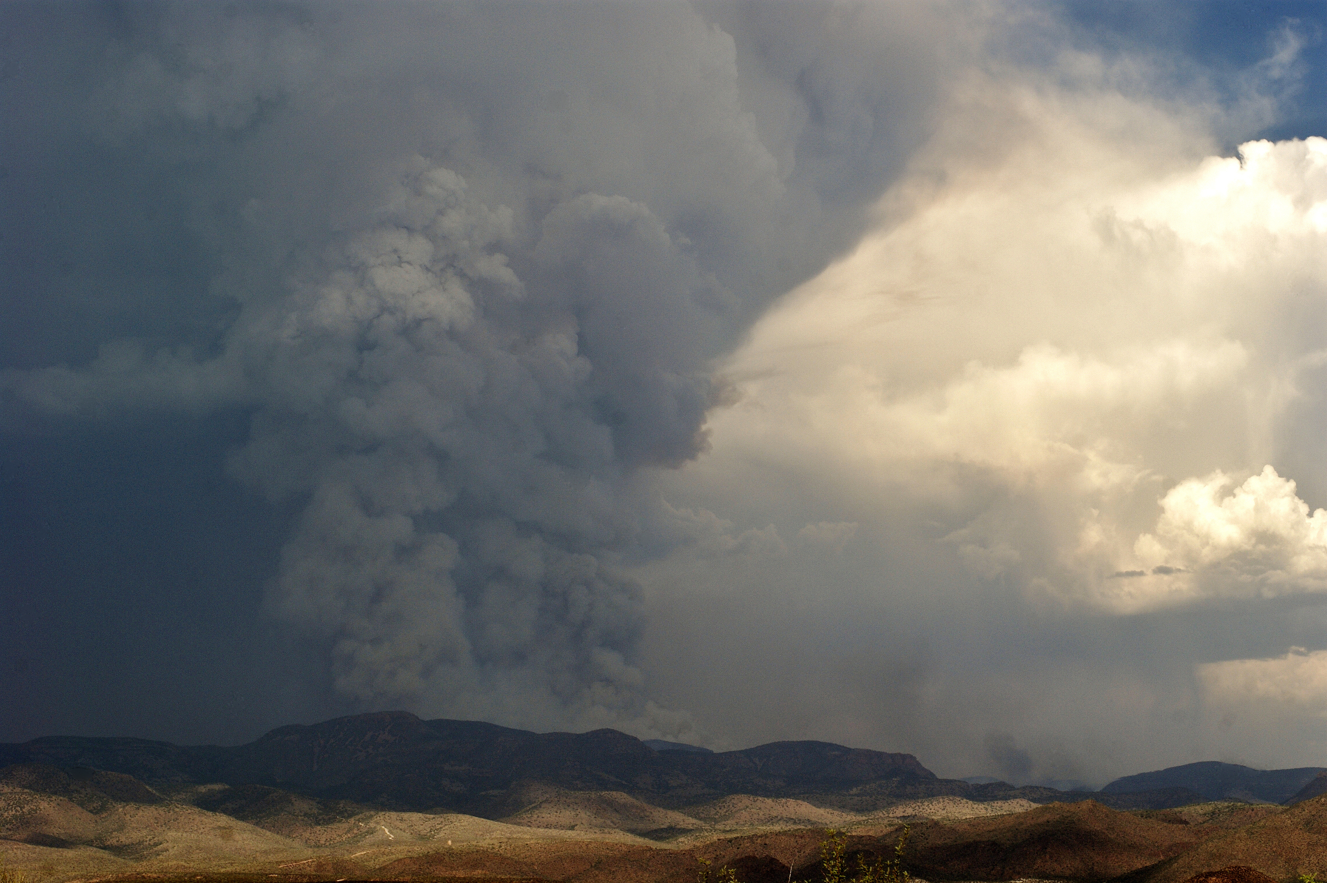
The Mistake Peak Fire
Theodore Roosevelt Lake in eastern AZ.
Topographic Map of Punkin Center, Tonto Basin, AZ, USA
Find elevation by address:

Places near Punkin Center, Tonto Basin, AZ, USA:
Tonto Basin
123 Earl Stevens Rd
569 Rocky Rd
Whitney Ranch Estates
27856 E Mt Ord Dr #3
228 Windmill Rd
Deercreek Drive
Deercreek Dr, Payson, AZ, USA
873 Deercreek Dr
Rio Verde, AZ, USA
Gisela
River Road
Mazatzal Peak
573 Oxbow Trail
Oxbow Trail, Payson, AZ, USA
7674 W Gibson Ranch Rd
782 W Colt Ln
North Peak
West Gibson Ranch Road
Mazatzal Hotel & Casino
Recent Searches:
- Elevation of Kambingan Sa Pansol Atbp., Purok 7 Pansol, Candaba, Pampanga, Philippines
- Elevation of Pinewood Dr, New Bern, NC, USA
- Elevation of Mountain View, CA, USA
- Elevation of Foligno, Province of Perugia, Italy
- Elevation of Blauwestad, Netherlands
- Elevation of Bella Terra Blvd, Estero, FL, USA
- Elevation of Estates Loop, Priest River, ID, USA
- Elevation of Woodland Oak Pl, Thousand Oaks, CA, USA
- Elevation of Brownsdale Rd, Renfrew, PA, USA
- Elevation of Corcoran Ln, Suffolk, VA, USA