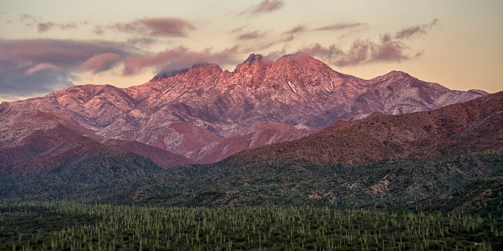
Elevation of Four Peaks, Arizona, USA
Location: United States > Arizona > Gila County > Tonto Basin >
Longitude: -111.32568
Latitude: 33.684357
Elevation: 2281m / 7484feet
Barometric Pressure: 77KPa
Elevation Map:
Satellite Map:
Related Photos:
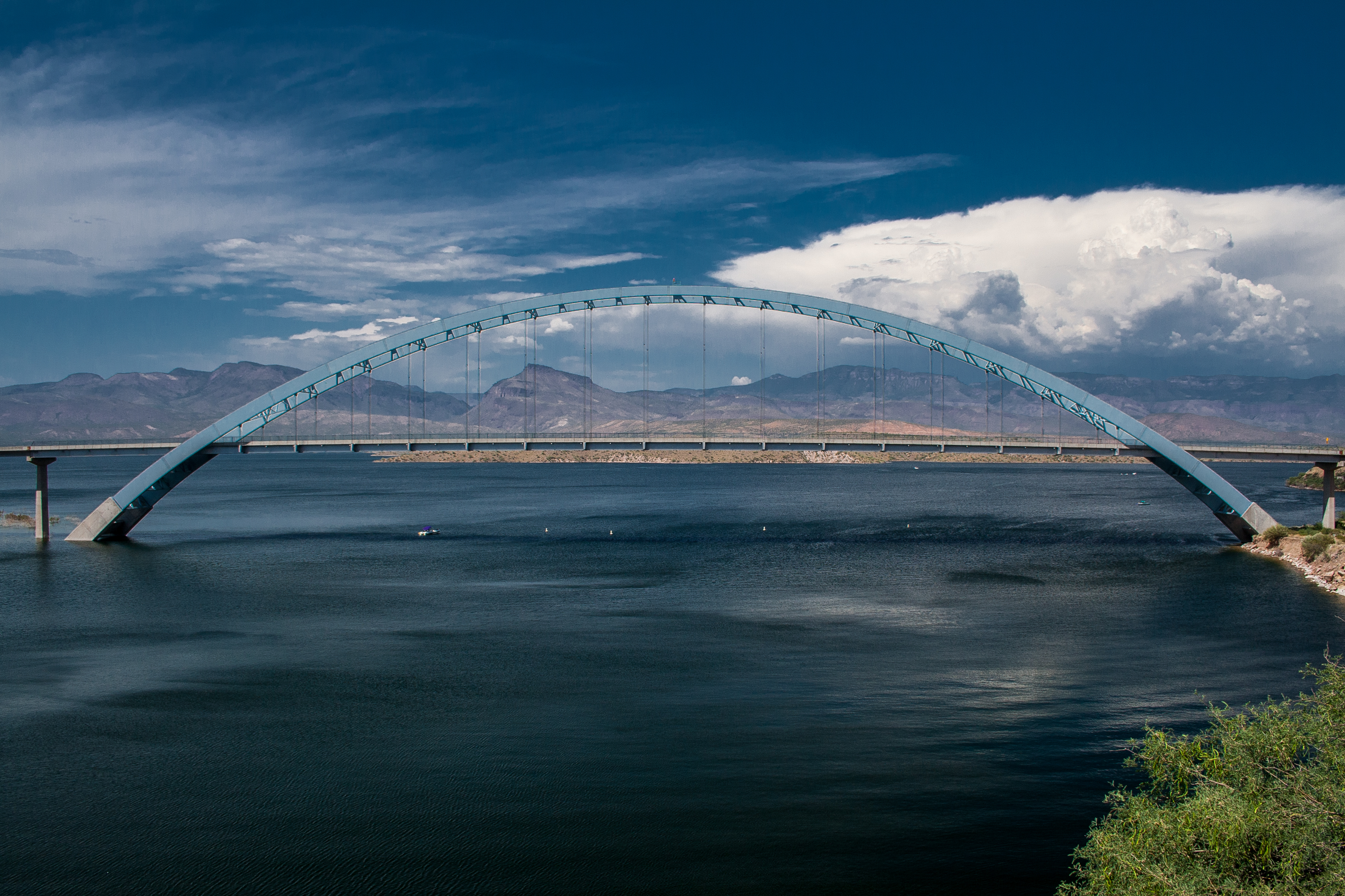
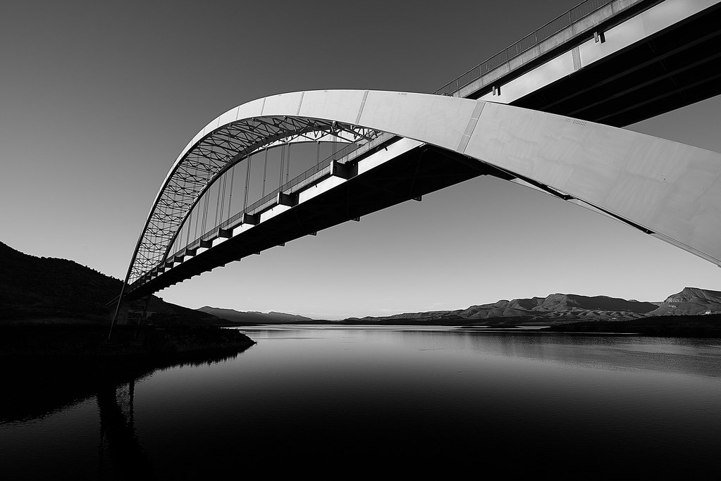
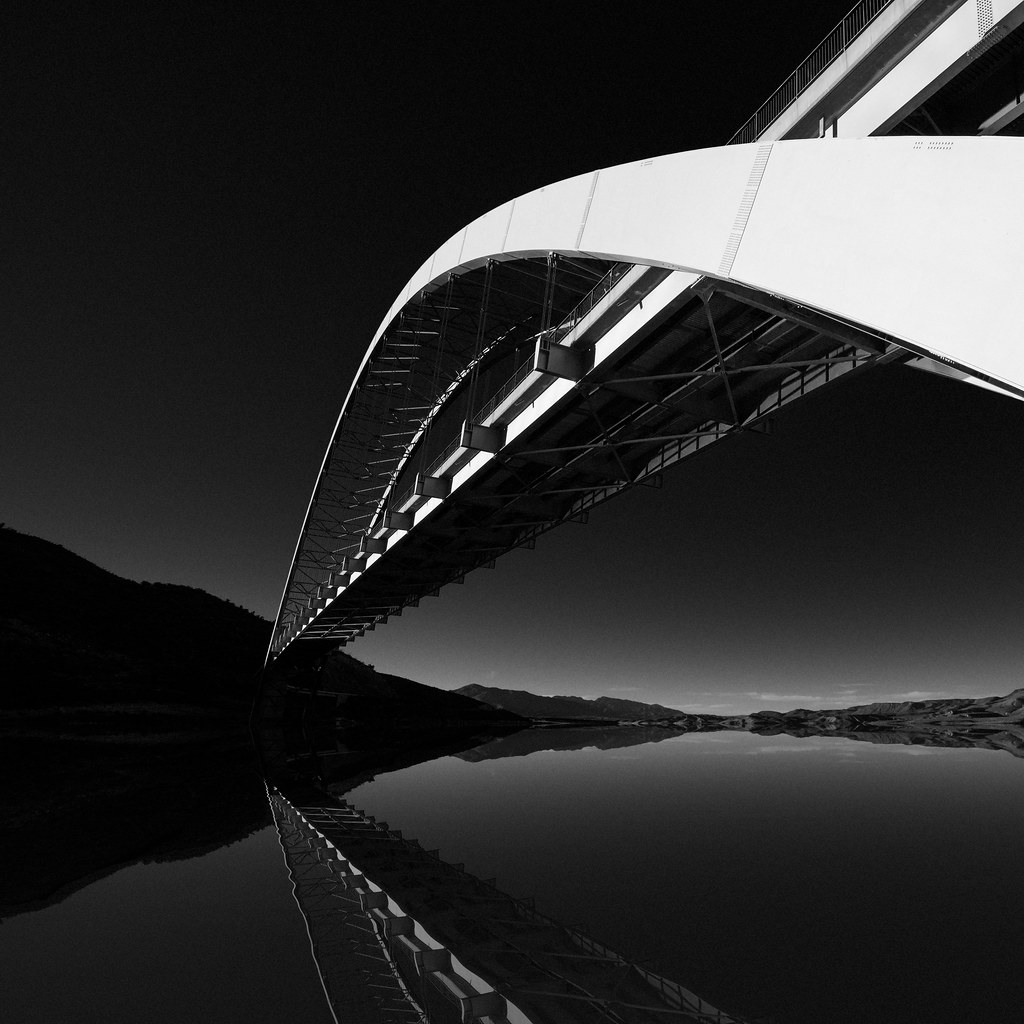
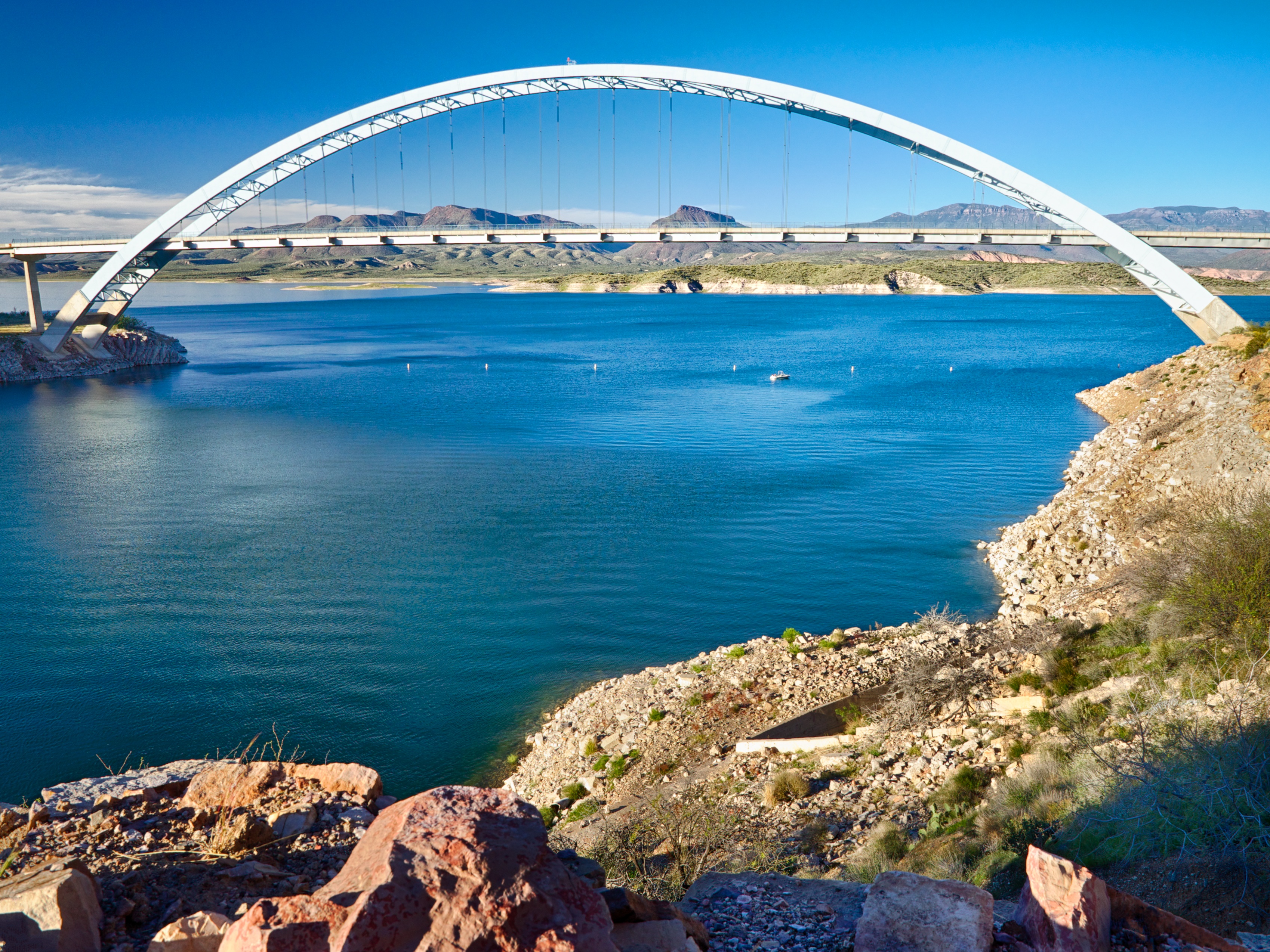
SR 188 Bridge Over Roosevelt Lake - Explore 22
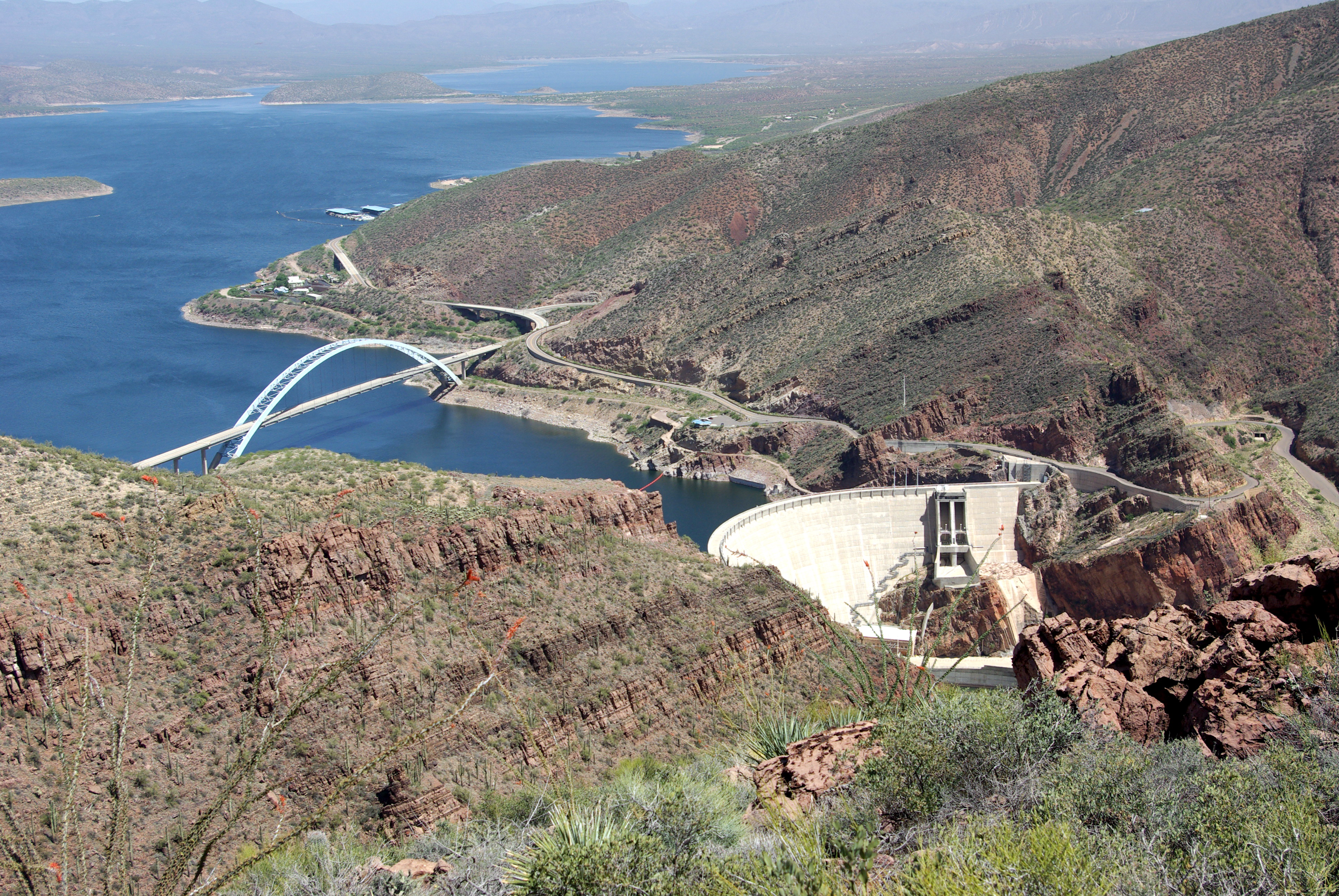
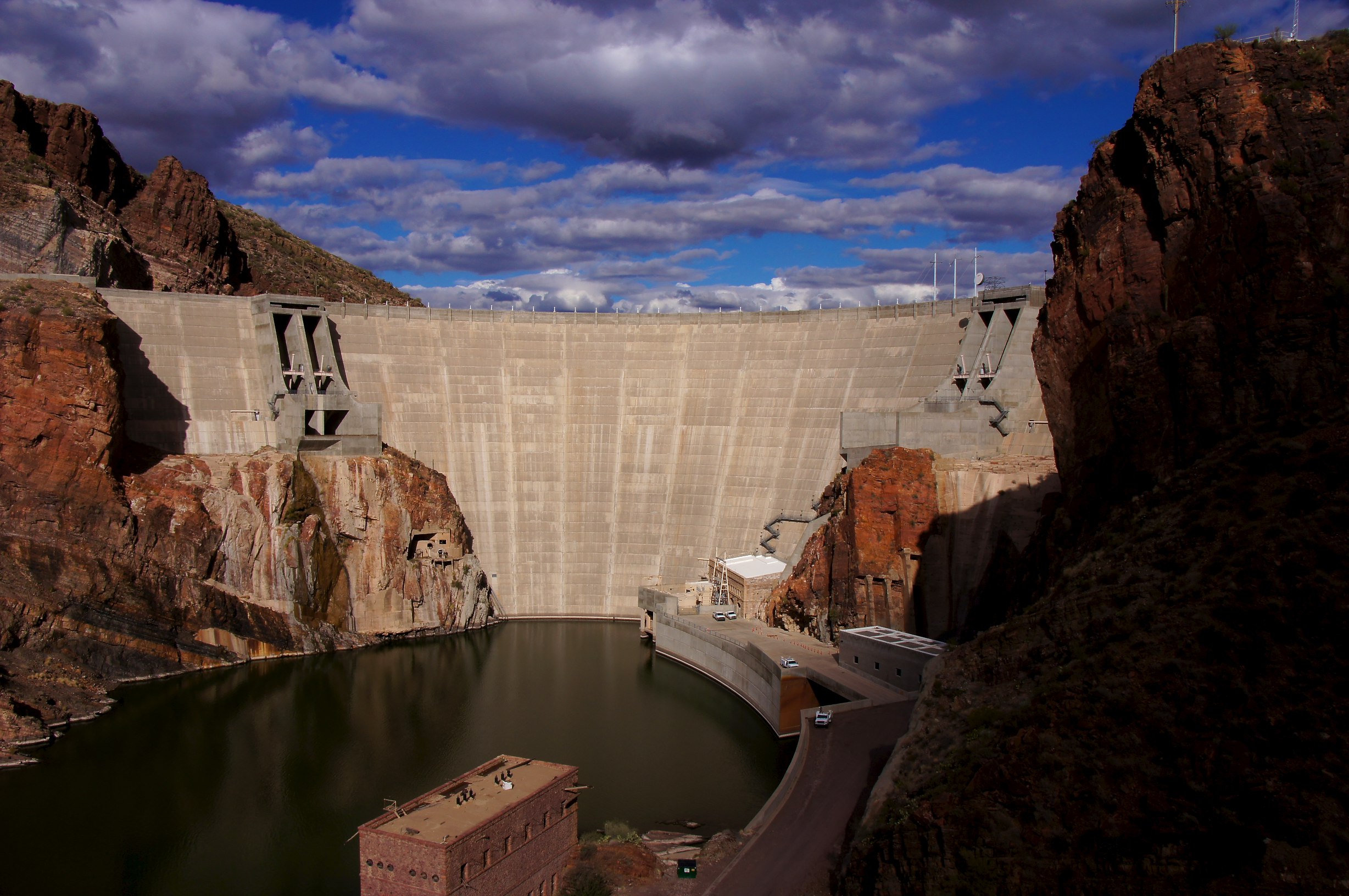
Roosevelt Dam & Bridge
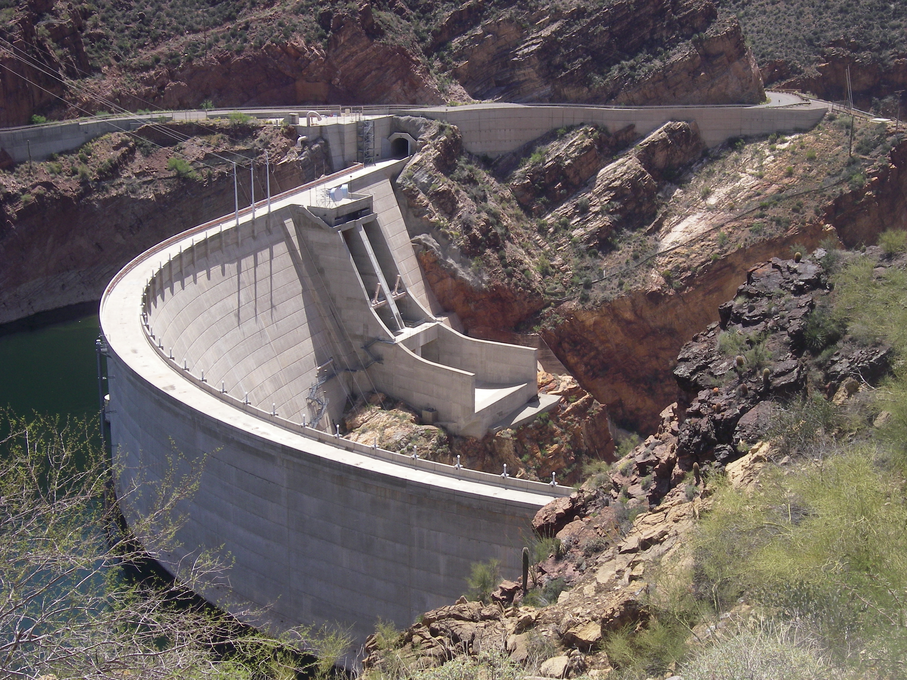
Roosevelt Dam - new & improved
Four Peaks Road View
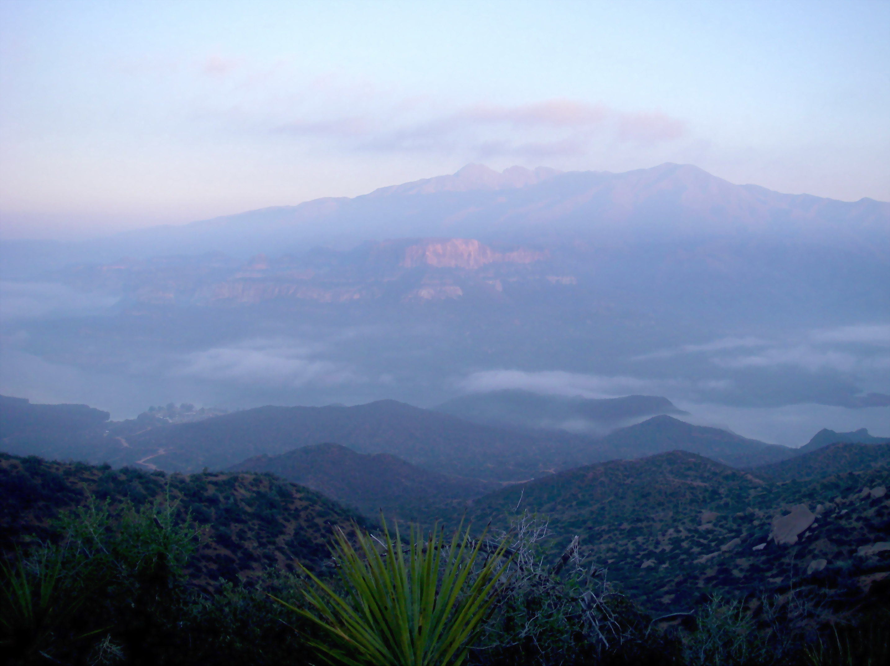
Apache mists
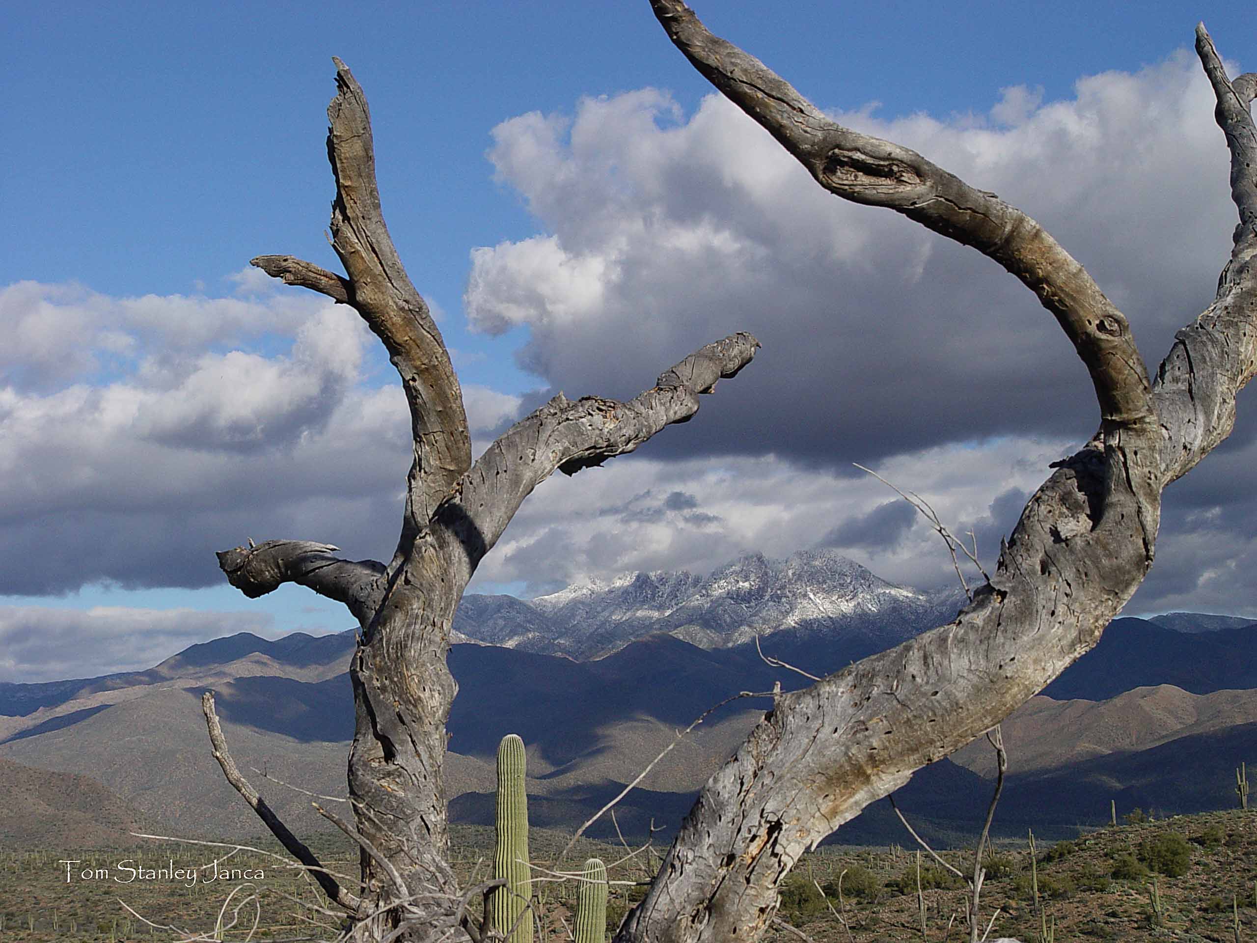
Dead Palo Verde Tree, Four Peaks, Snow And Last Of The Storm
Not Happening
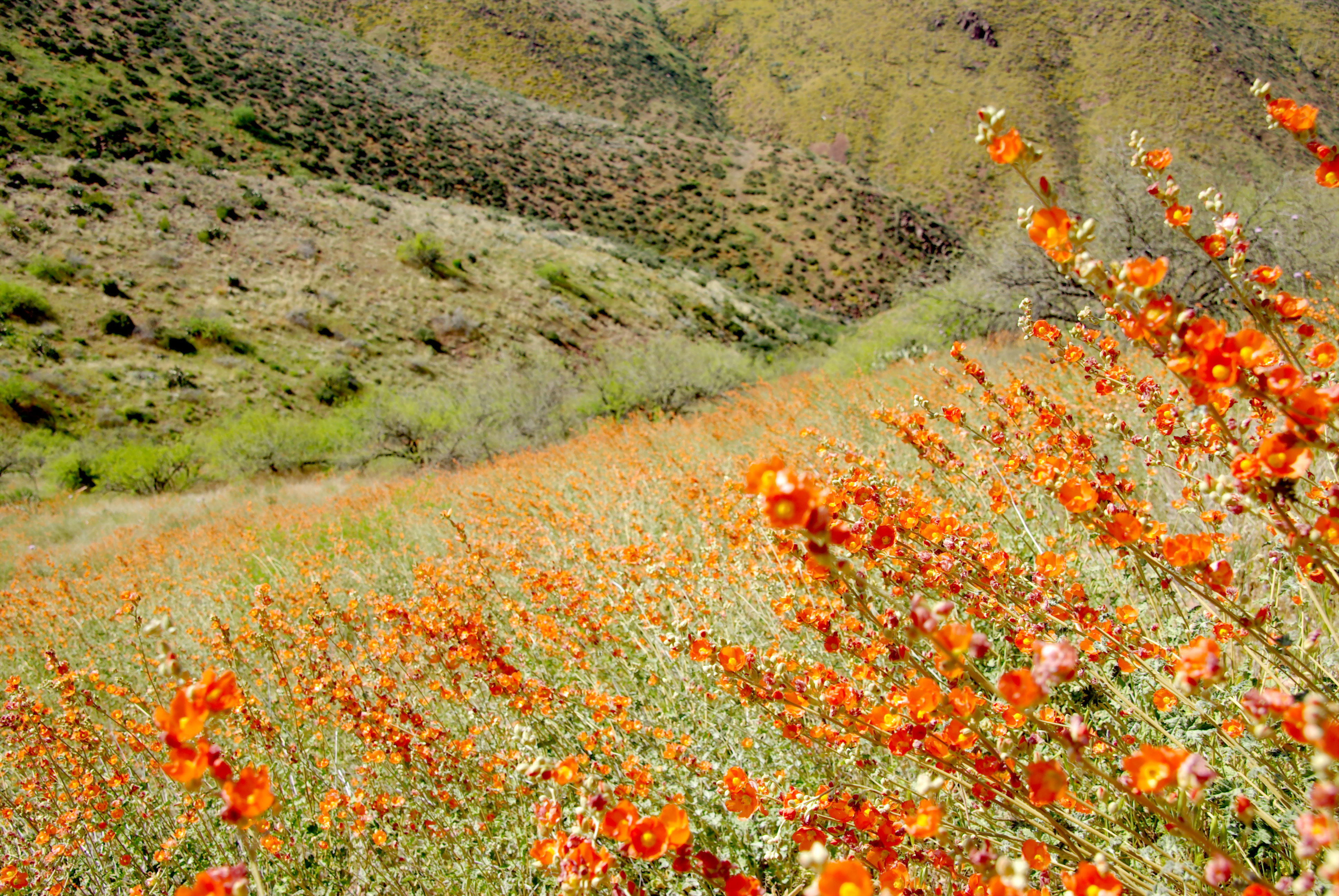
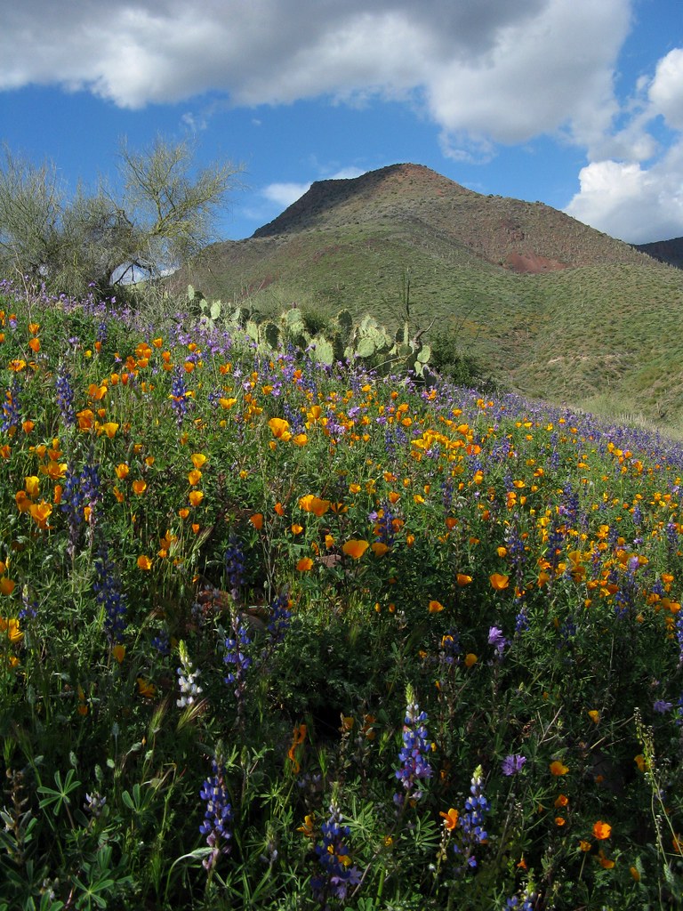
Meadows of desert globemallow - Sonoran Desert wildflowers.
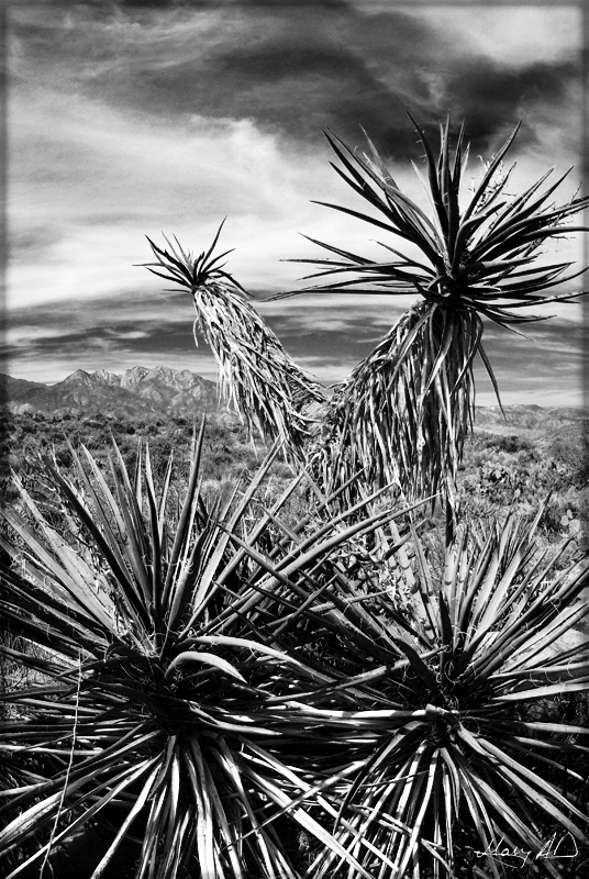
Mojave Yucca
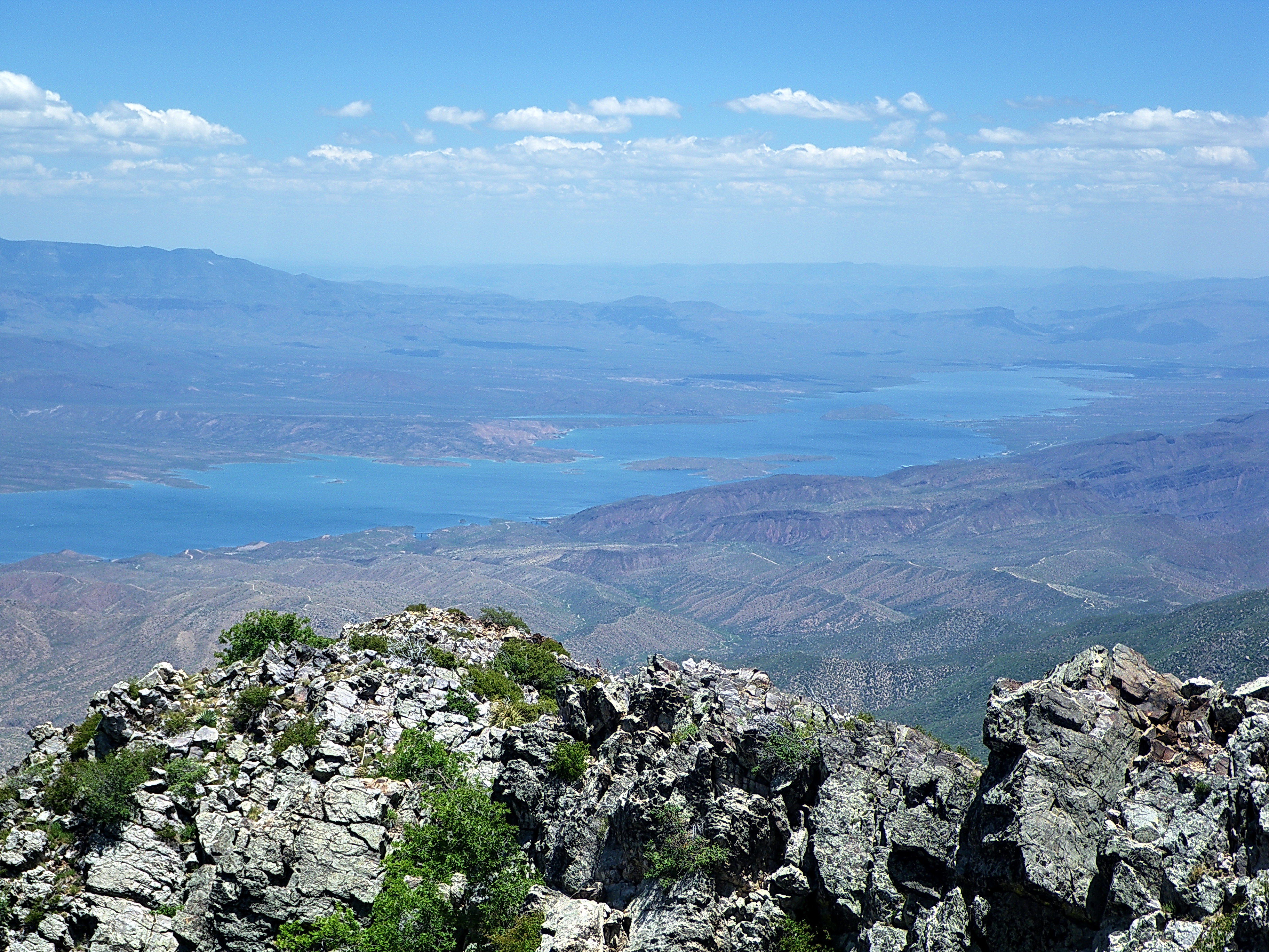
Roosevelt Lake from Brown's Peak - Four Peaks Wilderness
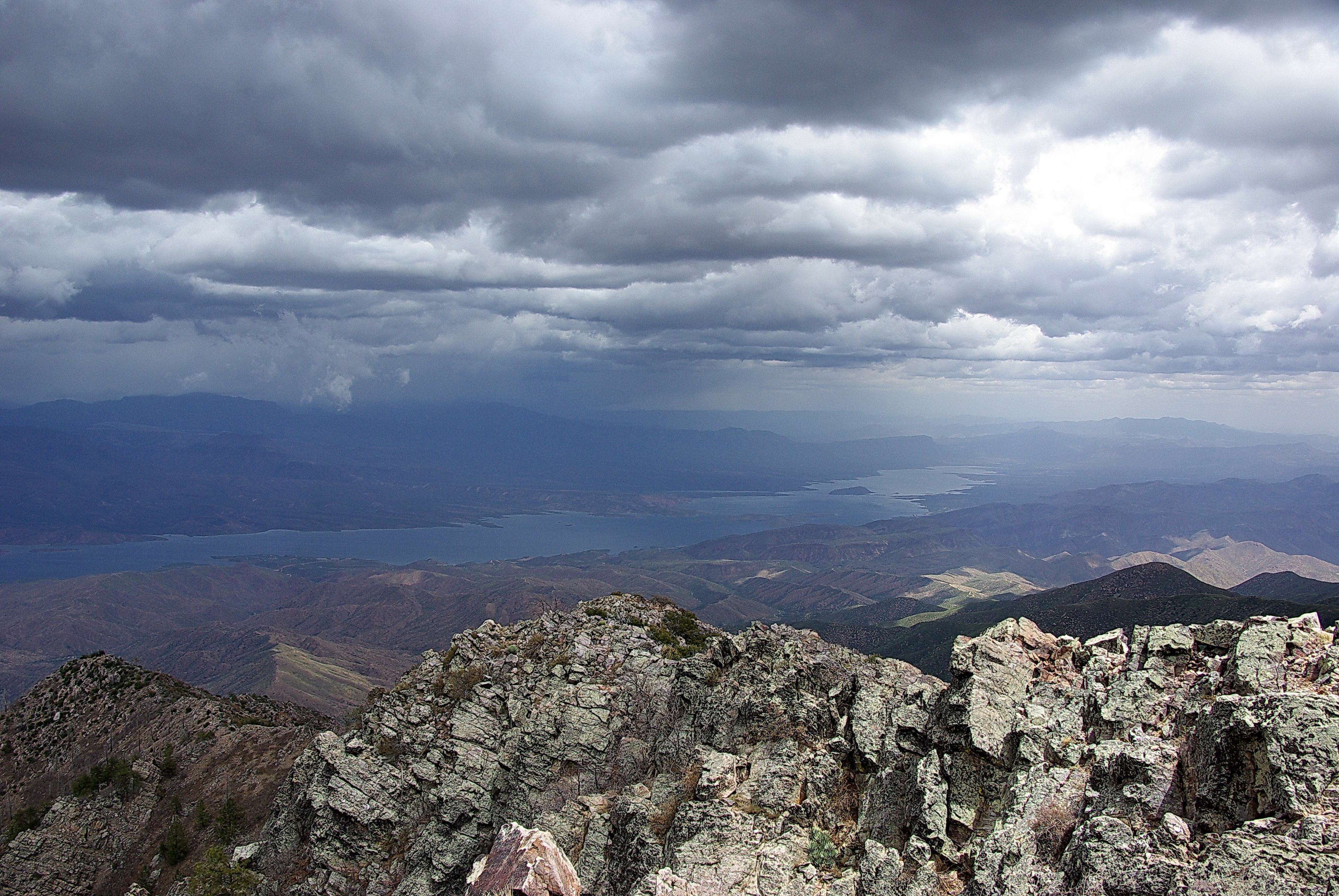
Storm over Roosevelt Lake from Brown's Peak Summit - Four Peaks Wilderness

Four Peaks Rd (FR143)
Directional View
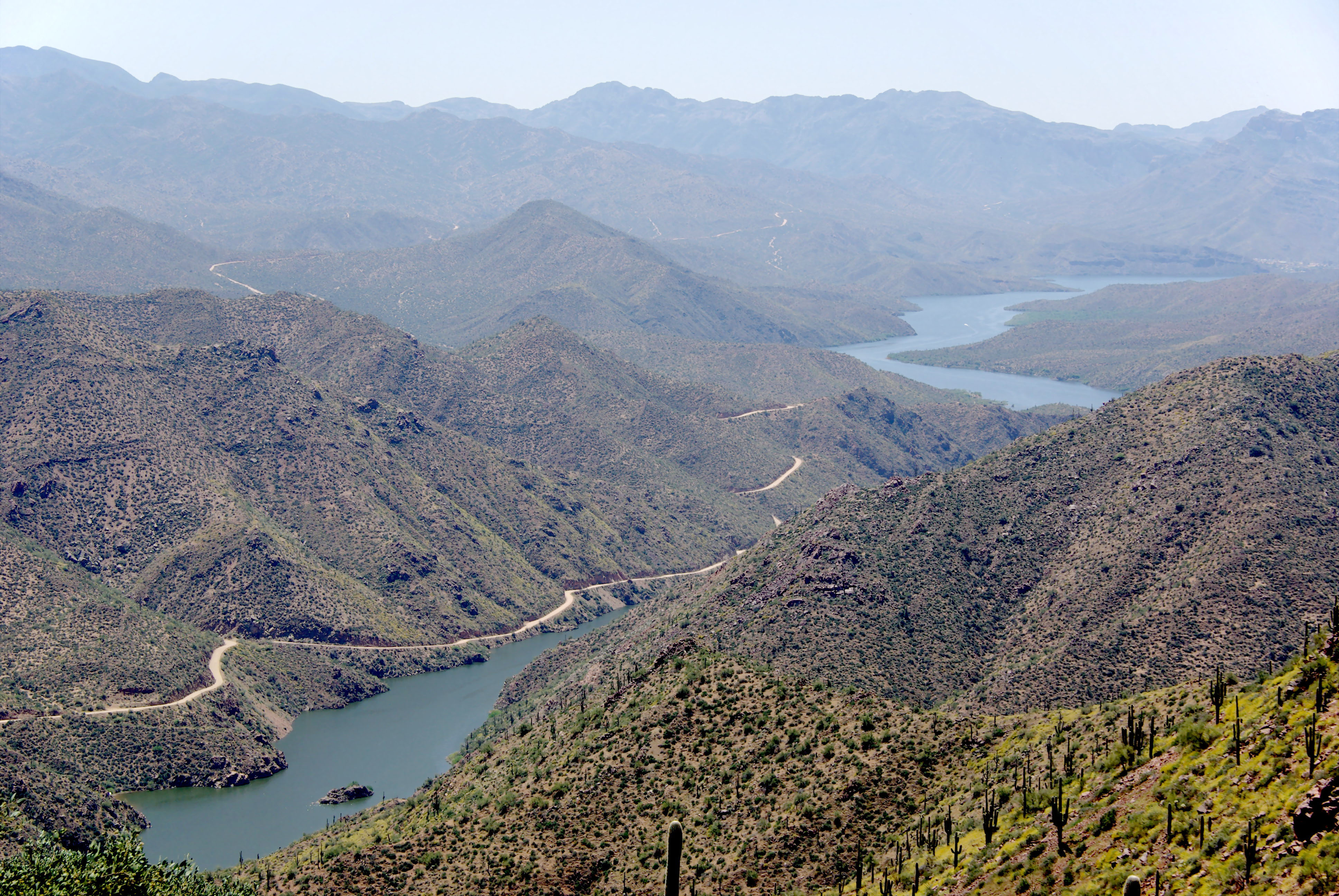
Apache Trail along Apache Lake 04-08
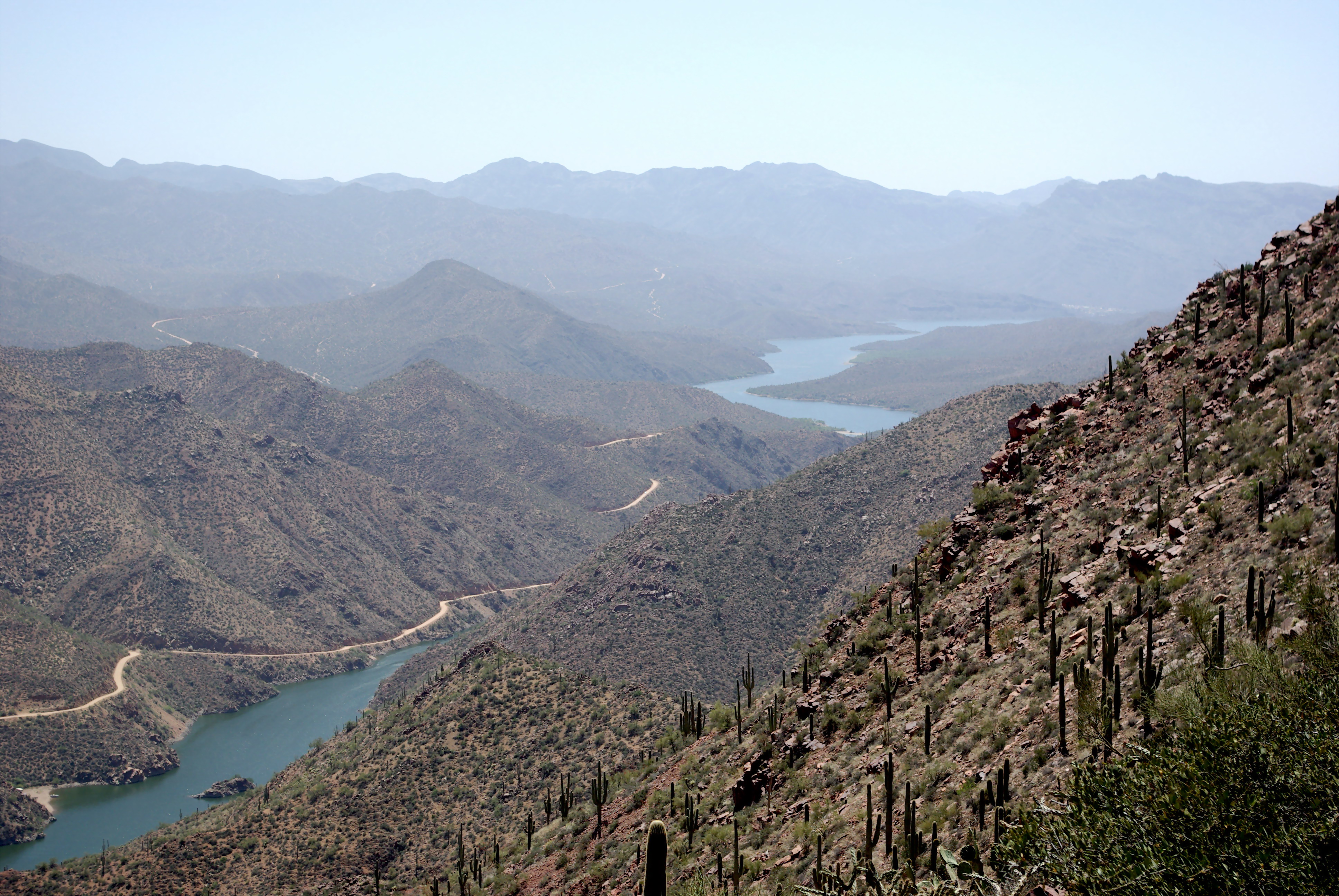
Apache Trail along Apache Lake 04-07
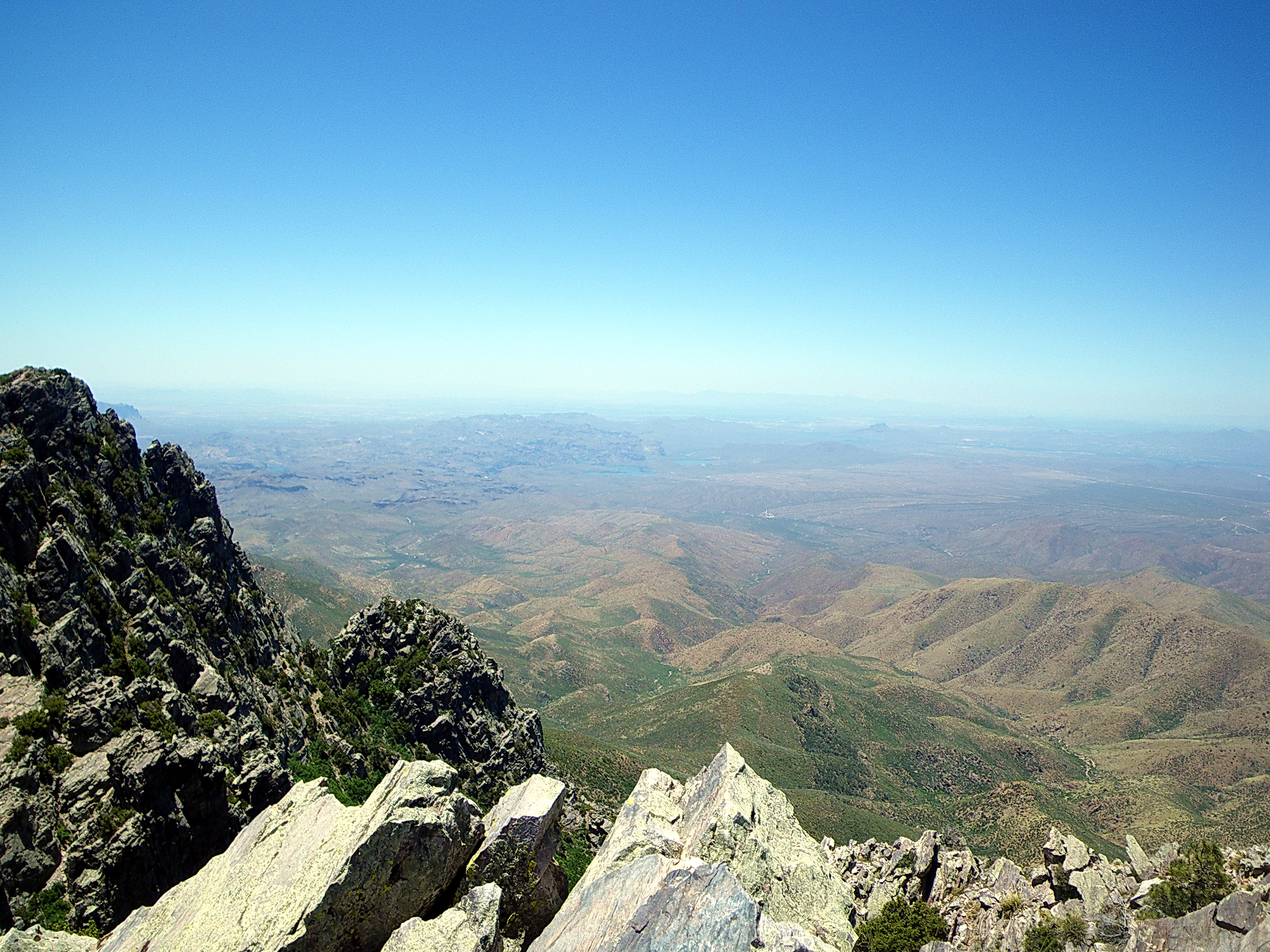
View to SW from Brown's Peak - Four Peaks Wilderness

Four Peaks Rd (FR143)
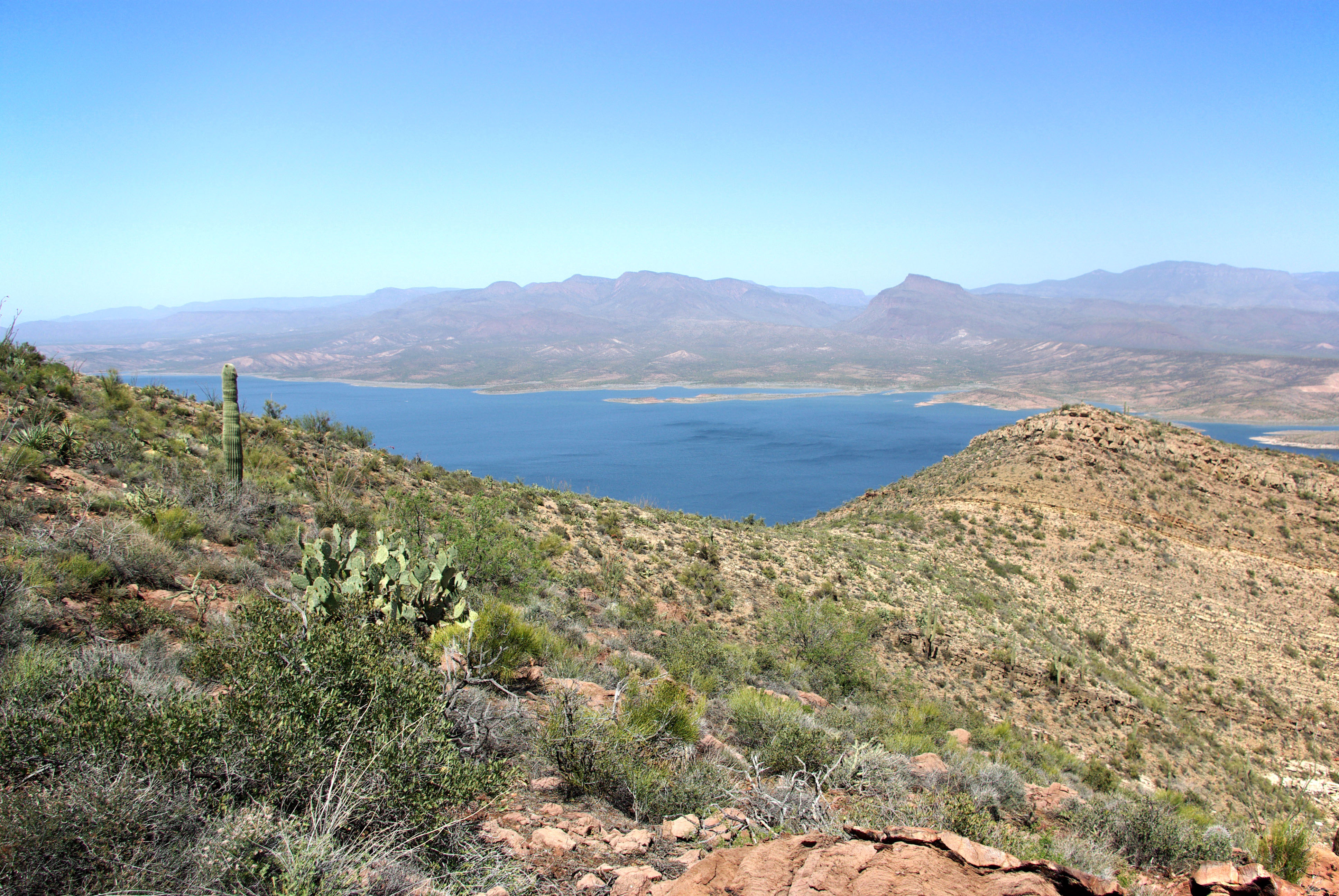
Roosevelt Lake from Vineyard Trail
Roosevelt Lake from Inspiration Point
Snow blowing up the scree chute - Brown's Peak - Four Peaks Wilderness

Four Peaks Rd (FR143)
Roosevelt Dam, Apache Trail Scenic Drive - Arizona
Four Peaks Aglow
Thread and Needle
Out of The Dark
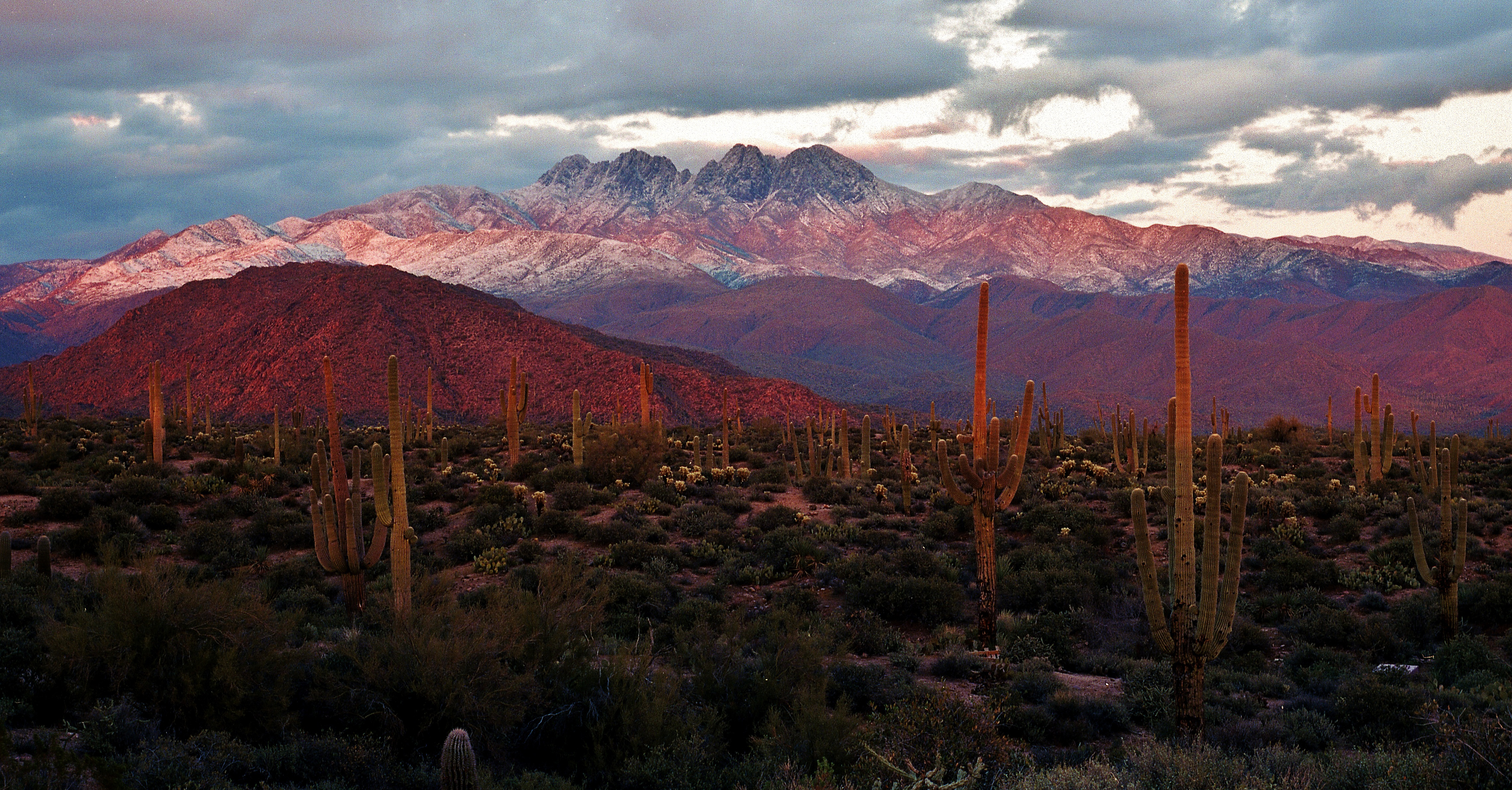
Four Peaks Sunset
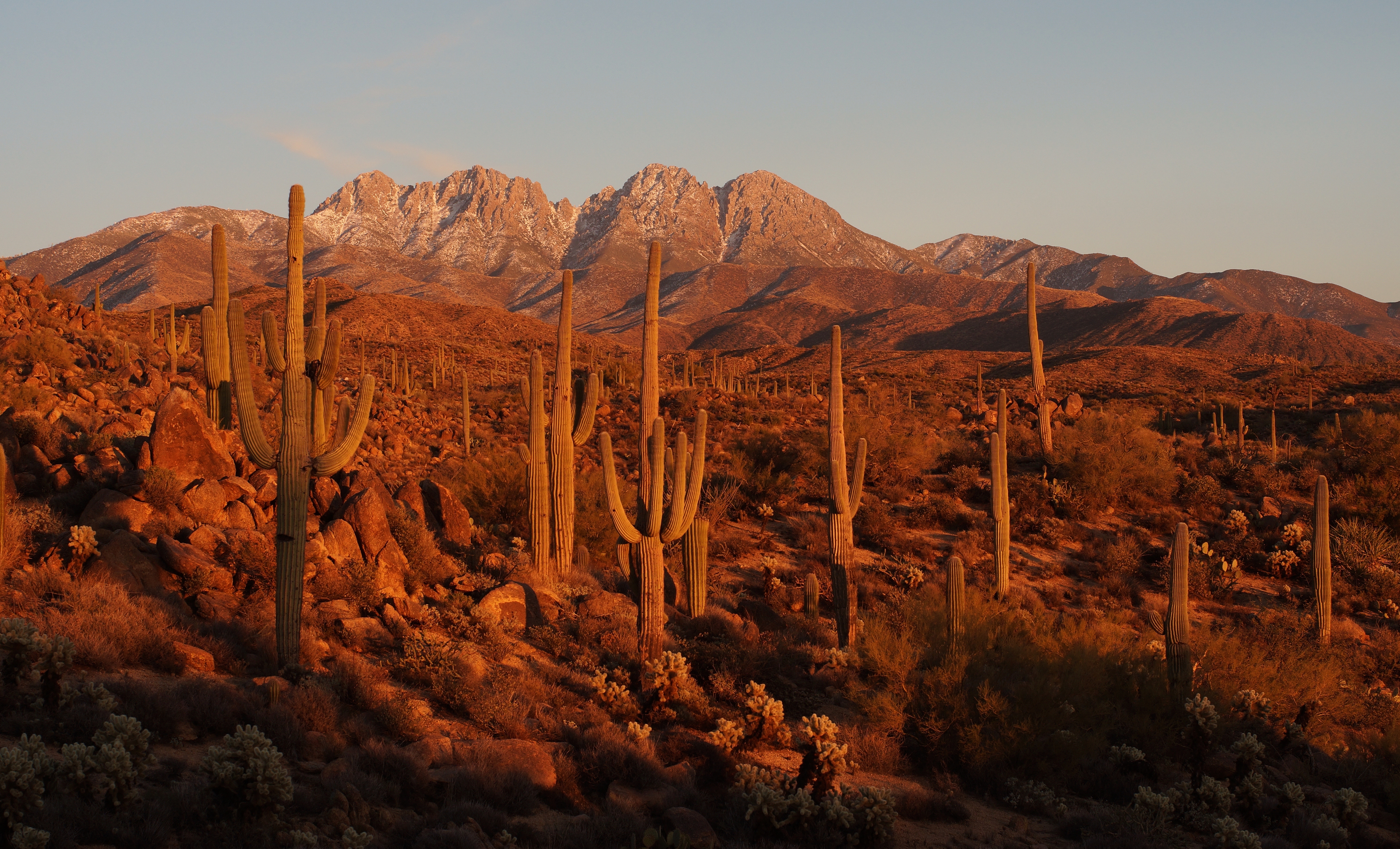
Four Peaks Sunset
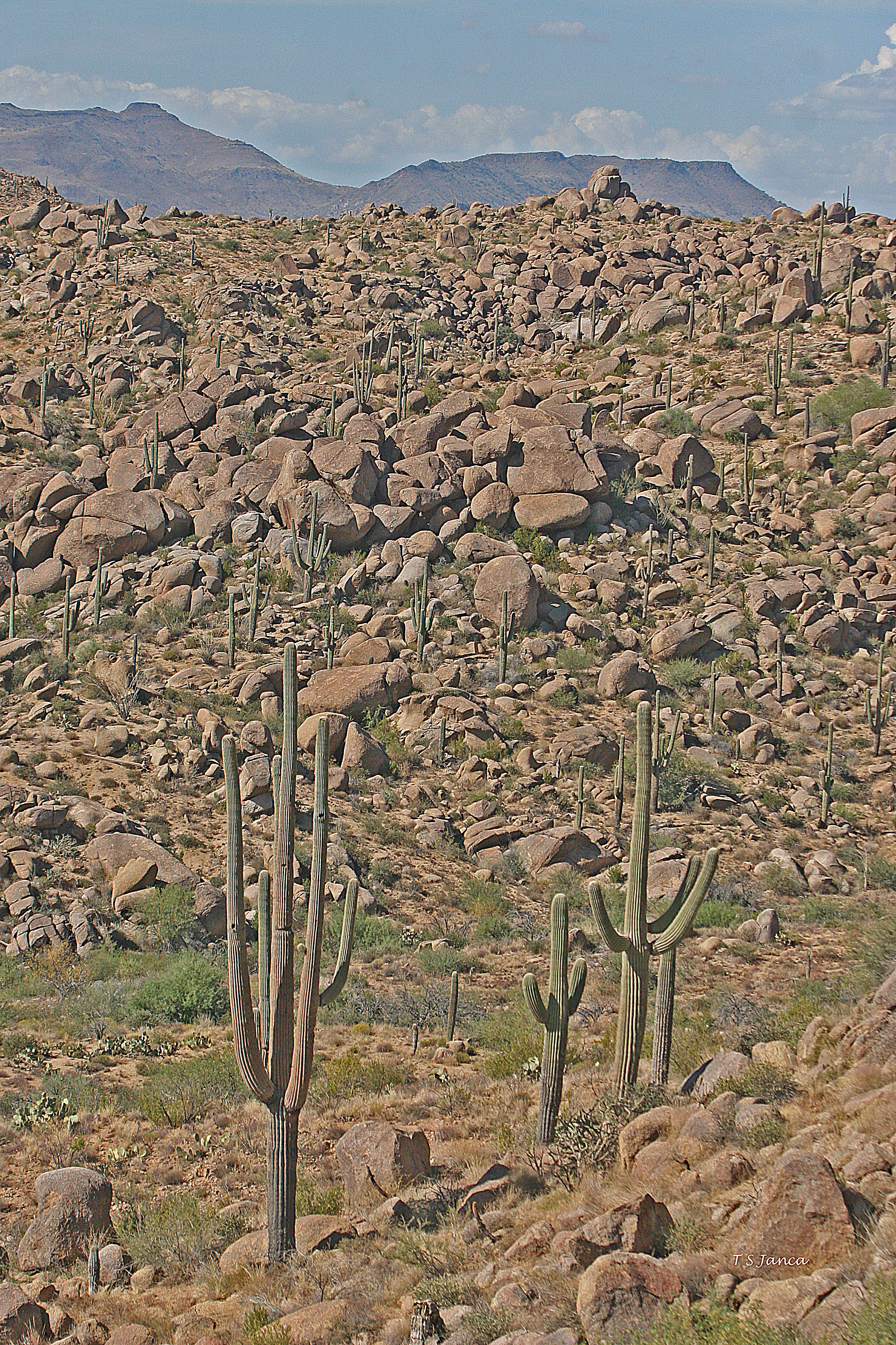
four peaks wilderness area

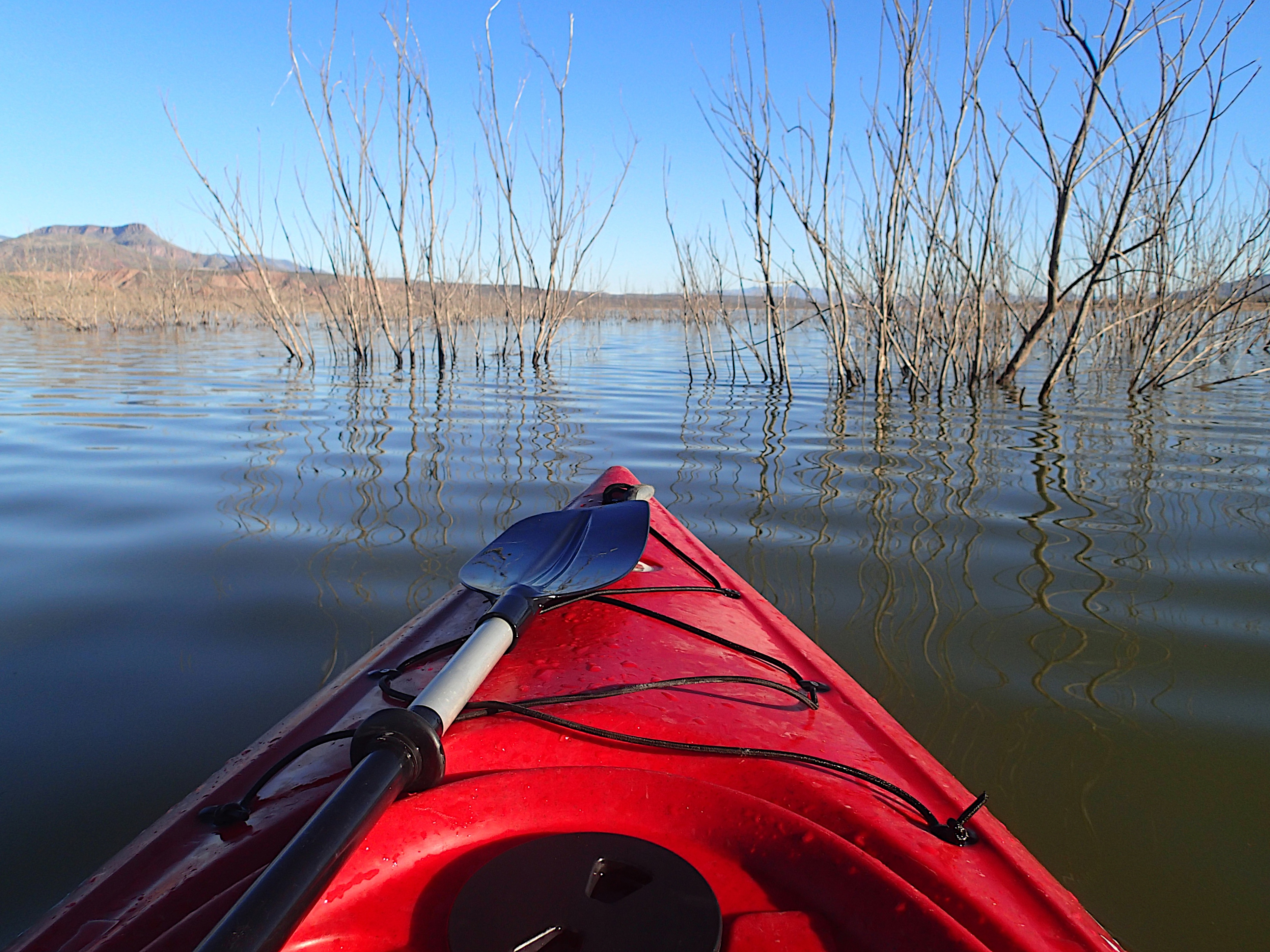
Apache Lake

Apache Lake at Sunset (DSG_9271-73)
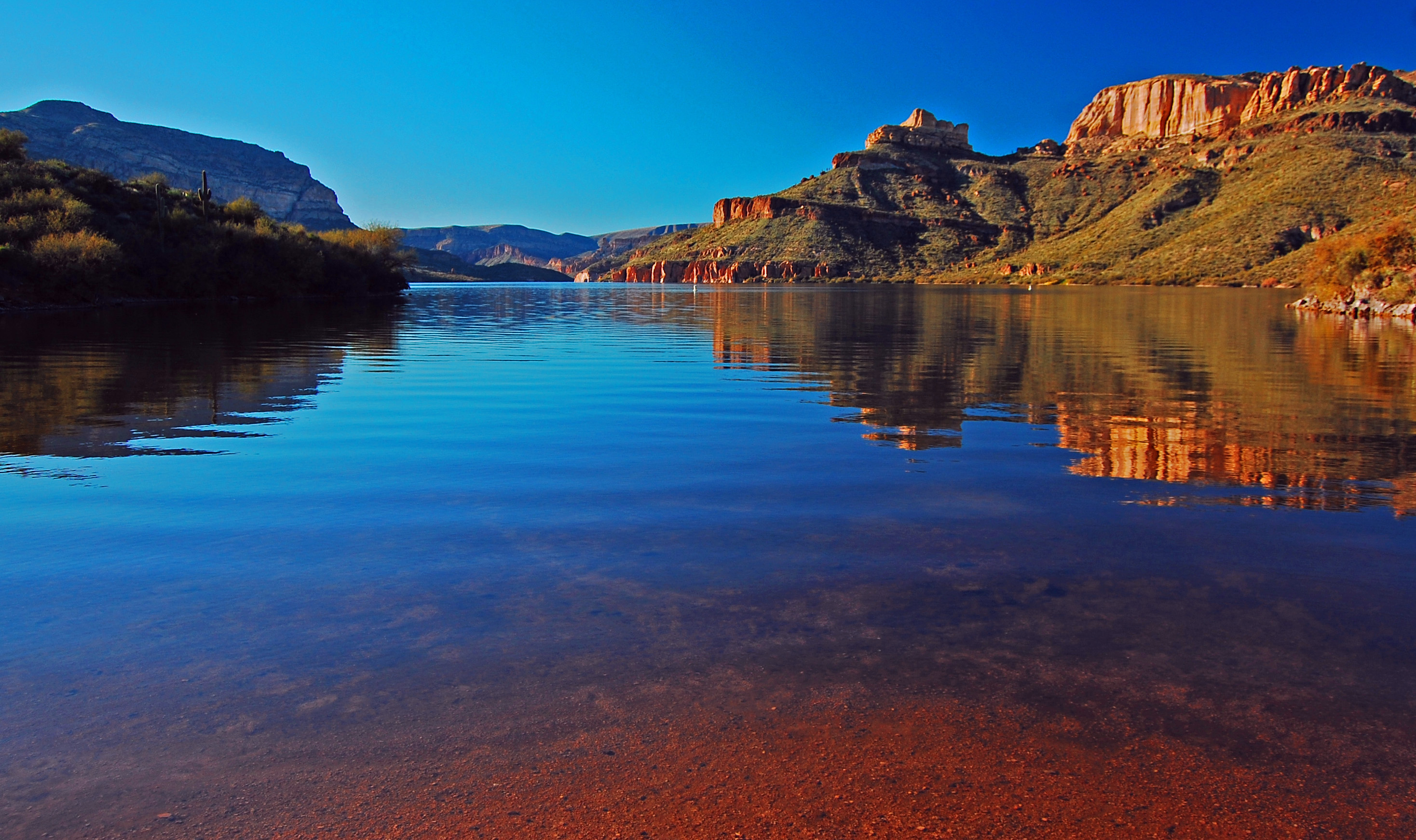
Apache Lake 1
Inspiration Point - Tonto National Forest
night 50
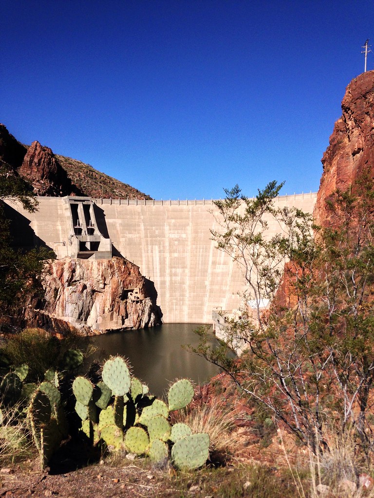
Prickly Pear and Roosevelt Dam
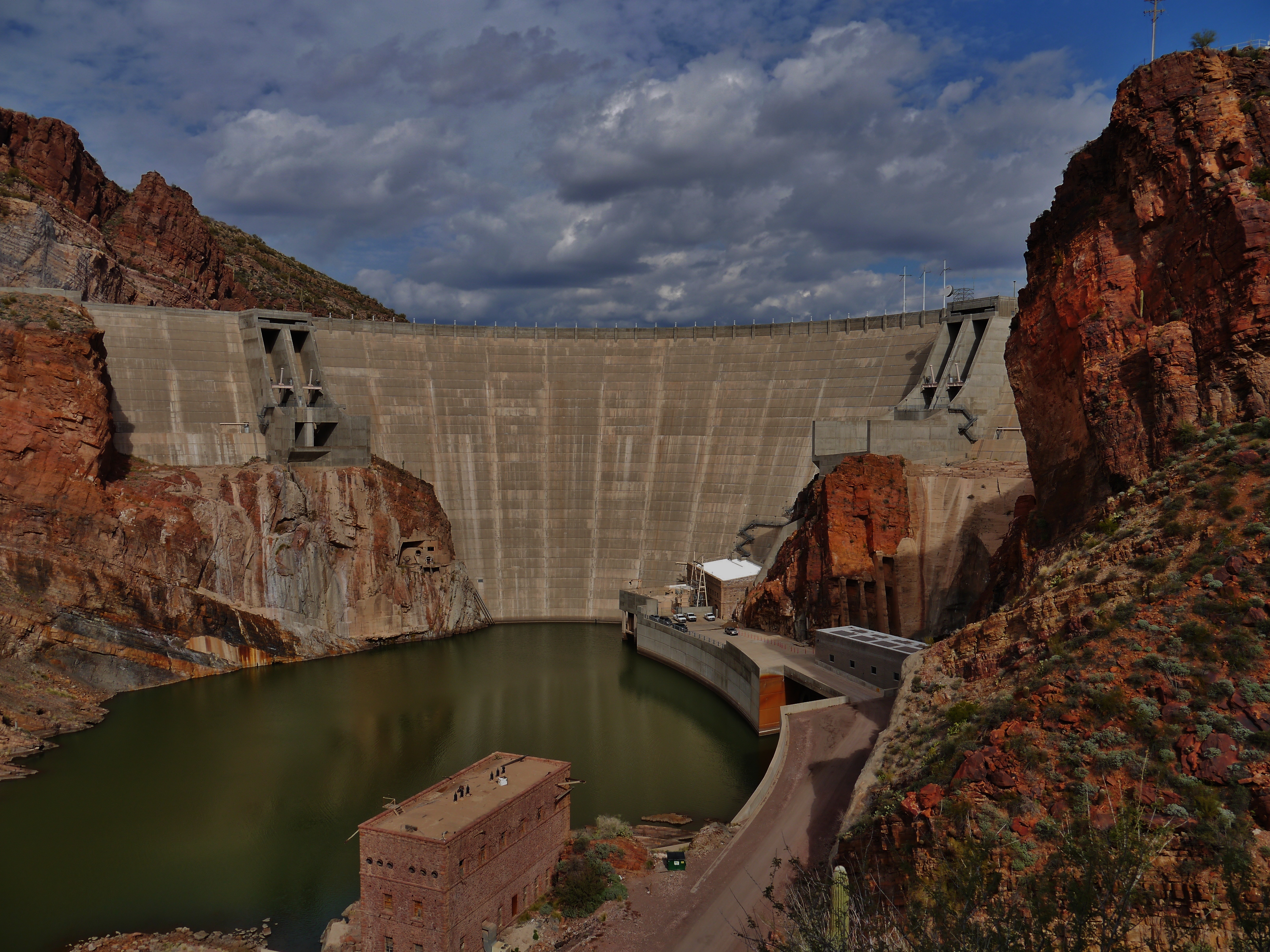
20613-04, Roosevelt Dam

20613-02, Roosevelt Dam
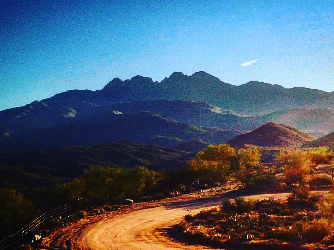
The Four Peaks on my hike yesterday. #CoffeeKen #borntobunk #azcentral #azlife #abc15 #adventureanywhere #divine_deserts #hiking
Topographic Map of Four Peaks, Arizona, USA
Find elevation by address:

Places near Four Peaks, Arizona, USA:
Browns Peak
Lone Pine Trailhead
Apache Lake
North Fr143
Fish Creek Hill
Apache Trail
Apache Trail
Tortilla Flat
AZ-, Roosevelt, AZ, USA
Canyon Lake
Roosevelt Lake Marina
Roosevelt
Theodore Roosevelt Lake
Superstition Mountains
Superstition Mountains
Superstition Mountains
Lost Dutchman State Park Check-in Office
Lost Dutchman State Park
Youngberg
4393 E Bluebird Trail
Recent Searches:
- Elevation of Corso Fratelli Cairoli, 35, Macerata MC, Italy
- Elevation of Tallevast Rd, Sarasota, FL, USA
- Elevation of 4th St E, Sonoma, CA, USA
- Elevation of Black Hollow Rd, Pennsdale, PA, USA
- Elevation of Oakland Ave, Williamsport, PA, USA
- Elevation of Pedrógão Grande, Portugal
- Elevation of Klee Dr, Martinsburg, WV, USA
- Elevation of Via Roma, Pieranica CR, Italy
- Elevation of Tavkvetili Mountain, Georgia
- Elevation of Hartfords Bluff Cir, Mt Pleasant, SC, USA