Elevation of Sycamore Dr, Mentone, CA, USA
Location: United States > California > San Bernardino County > Mentone >
Longitude: -116.99634
Latitude: 34.100653
Elevation: 1134m / 3720feet
Barometric Pressure: 88KPa
Elevation Map:
Satellite Map:
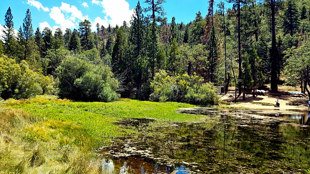
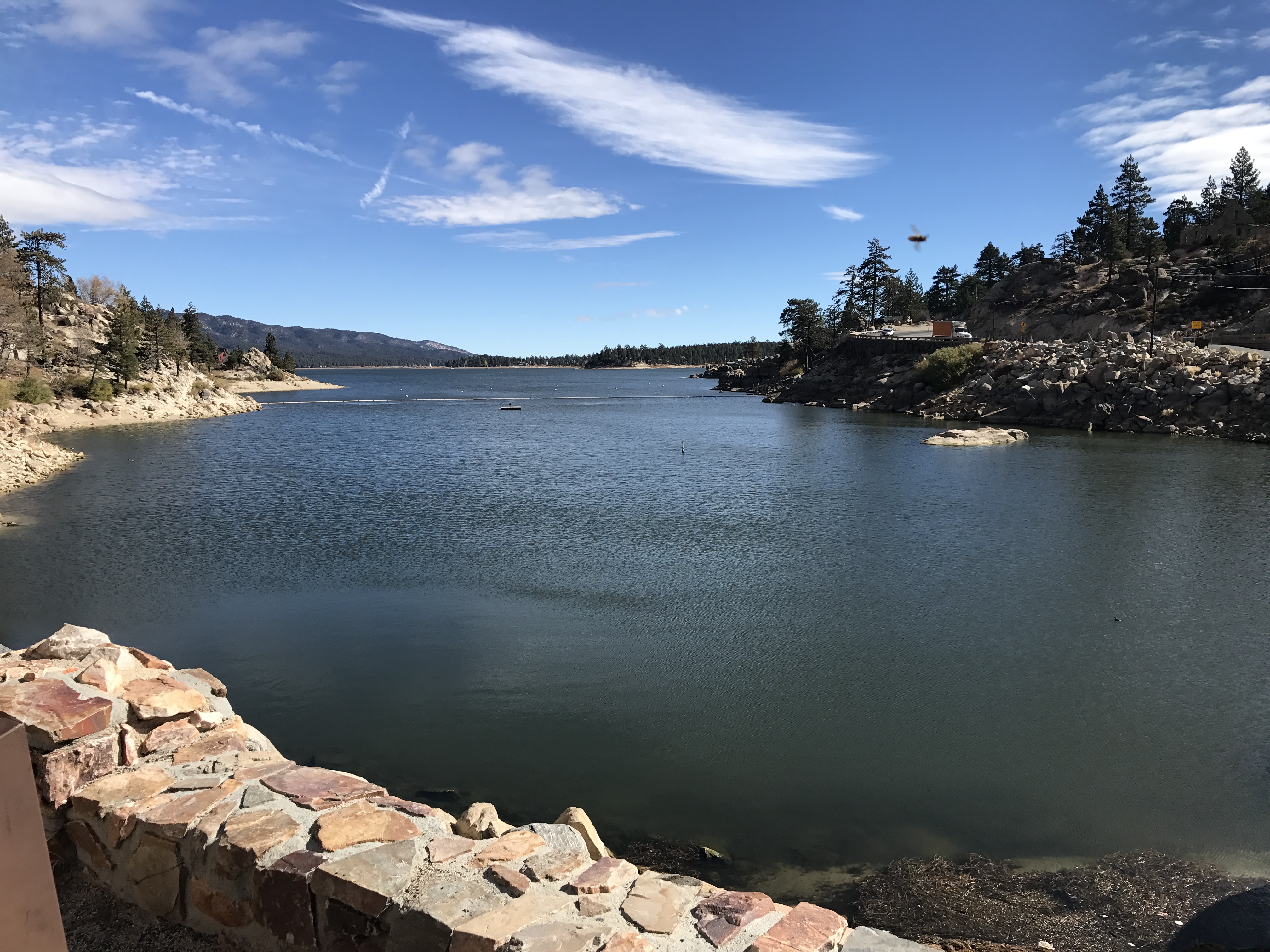
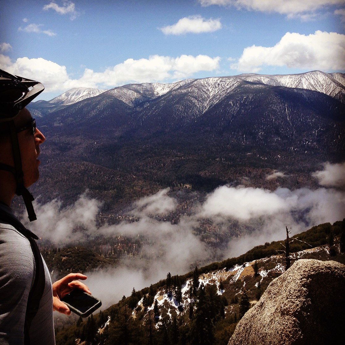
Related Photos:

View from Buff Rd LE

Original to these lands.

Live Oak Farms, Wagon 12-9-12

Mountains from Panorama Point 11-18-12

Swim Lane
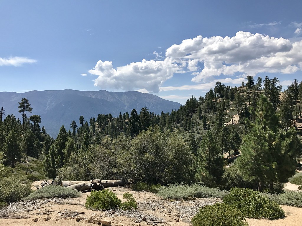
mountain landscape
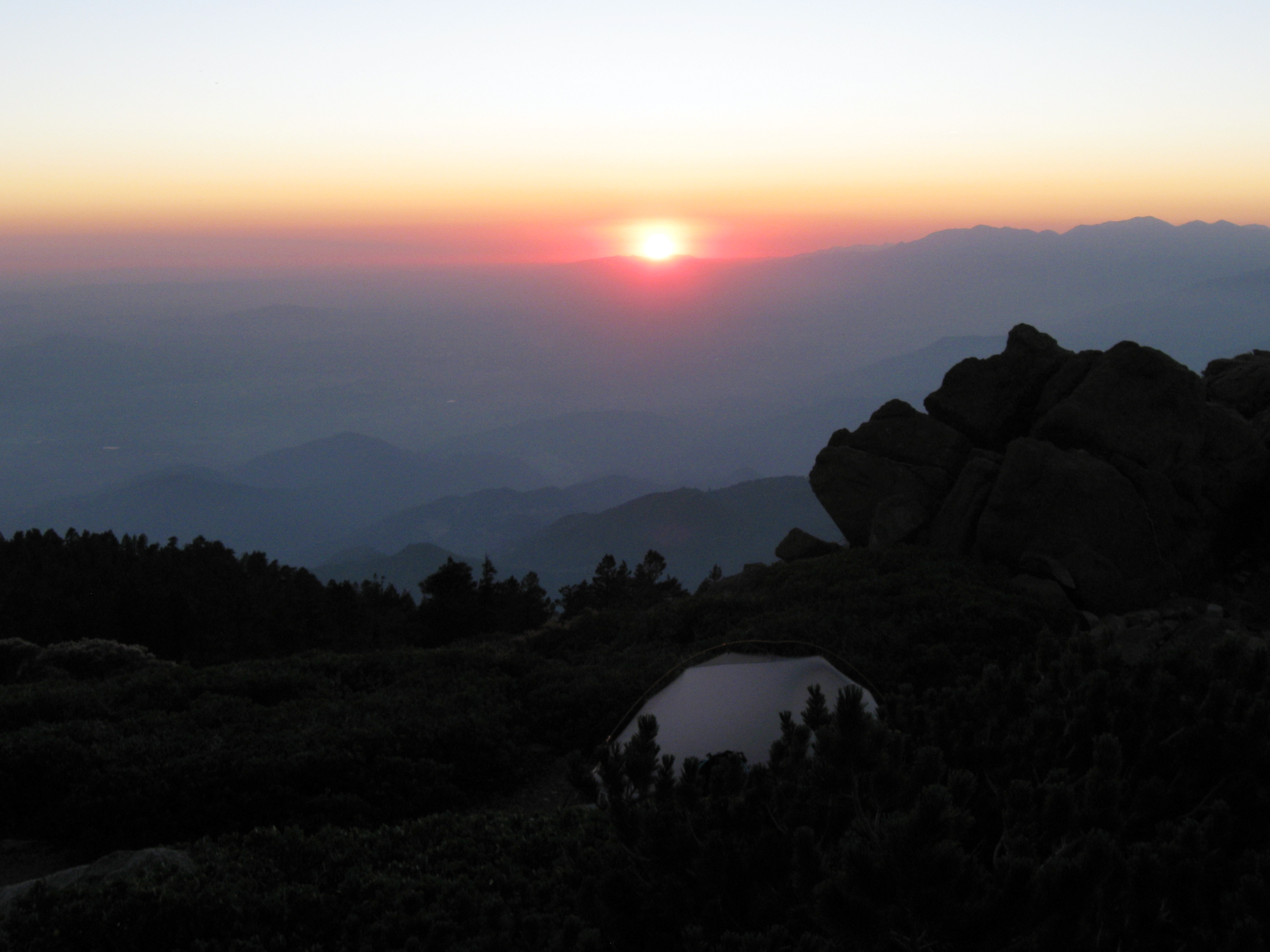
Sunset from Limber Pine Bench
Grand View Point
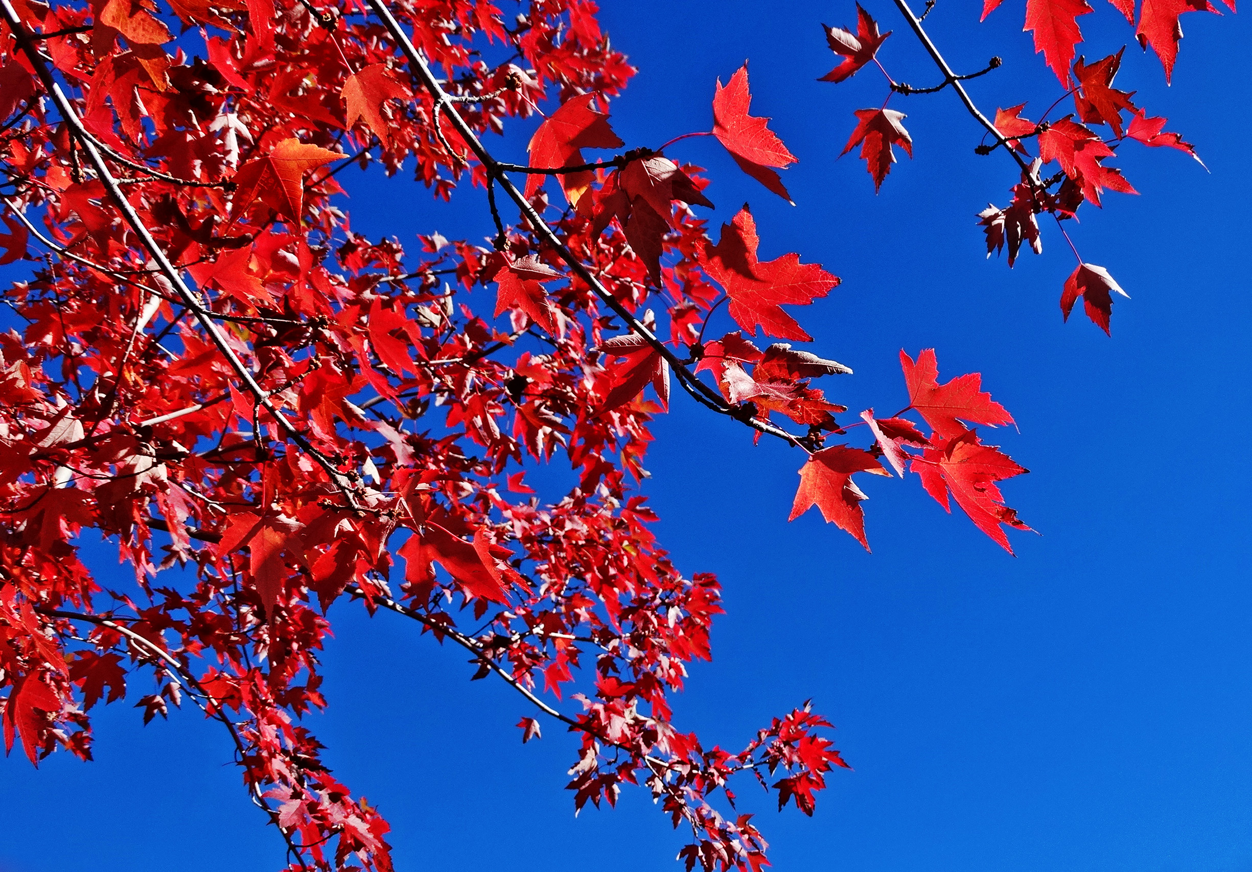
Sun on Oak Leaves, Oak Glen, CA 11-8-14

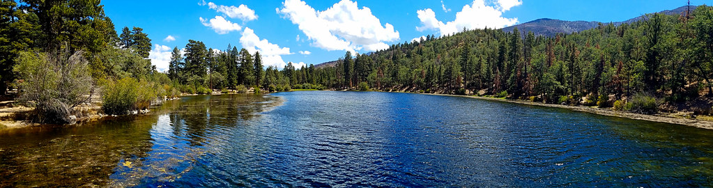
Santa Ana River Valley

Big Falls Stream - Forest Falls, CA, USA

Big Falls Creek Long Exposure

the view from here [7:52]

Seven Oaks Dam

Bogart Park_0059

sunny rear view
My view right now.

Bogart Park_0041

View from a chairlift

Bogart Park_0039
View from the ladder

Mill Creek Storm Sunset

Feelings of Aqua
Mt. Baldy from Panorama Pt 3-9-14f

Parting - Mentone, CA, USA
To the Woods

Snow Creek

Twilight Rocks and Stream

Mill Creek and Storm III
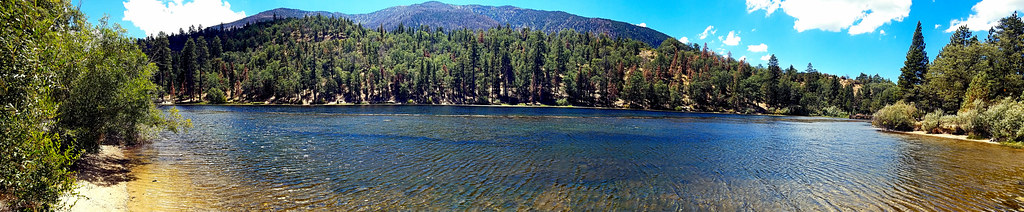
Jenk's Lake

Mill Creek Canyon
Jenks Lake and Mount San Gorgonio

Yucaipa/Mentone Fire

Mill Creek - Mentone, CA, USA
500D_20121013_0018.jpg
Orange and Green - San Bernardino National Forest, CA, USA
The Far Shore
2017-11-06 10.21.57
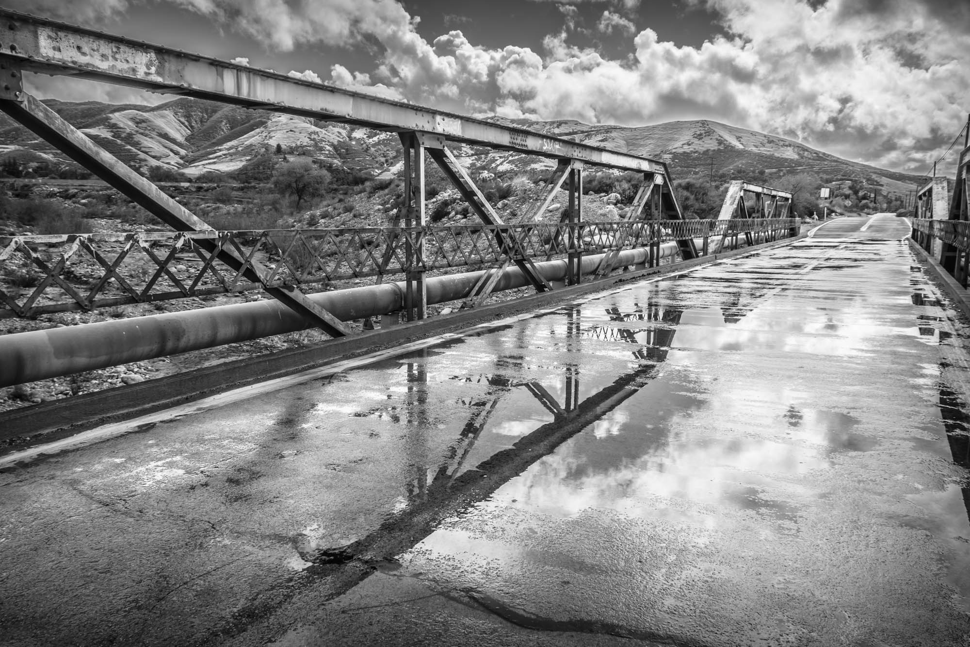
Garnet St. Bridge - Mentone, CA, USA
IMG_2708.jpg
Topographic Map of Sycamore Dr, Mentone, CA, USA
Find elevation by address:

Places near Sycamore Dr, Mentone, CA, USA:
Sycamore Dr, Mentone, CA, USA
10205 Jocelyn Ln
Yucaipa, CA, USA
Sleepy Hollow Lane
9859 Diamond St
35685 Sleepy Hollow Ln
35215 Juniper Ave
35536 Sleepy Hollow Ln
35666 Balsa St
Oak Glen Road
35670 Katona Ct
10345 Country Ln
35678 Katona Ct
35678 Katona Ct
35674 Katona Ct
39543 Canyon Dr
34822 Olive Tree Ln
10622 Bryant St
35665 Casa Vista St
California 38 & Bryant Street
Recent Searches:
- Elevation of W S, Orem, UT, USA
- Elevation of Water Bird Wy, Punta Gorda, FL, USA
- Elevation of Teiskontie 8, Tampere, Finland
- Elevation of Pacific View Dr, Malibu, CA, USA
- Elevation of Thorpe Cir, Thousand Oaks, CA, USA
- Elevation of Eldorado do Sul - RS, Brazil
- Elevation of Eldorado do Sul - Parque Eldorado, Eldorado do Sul - RS, -, Brazil
- Elevation of 35 Governors Ln, Hilton Head Island, SC, USA
- Elevation of Orangevale, CA, USA
- Elevation of Doe Cir, Clinton, OH, USA