Elevation of Strawberry Township, AR, USA
Location: United States > Arkansas > Sharp County >
Longitude: -91.414482
Latitude: 36.0701582
Elevation: 141m / 463feet
Barometric Pressure: 100KPa
Elevation Map:
Satellite Map:
Related Photos:
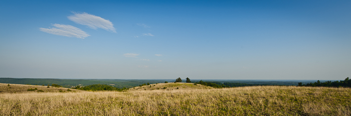
Buchanan Mountain-1
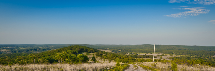
Buchanan Mountain-3
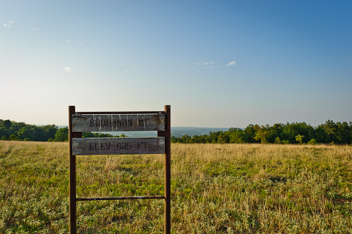
Buchanan Mountain-2

Back yard
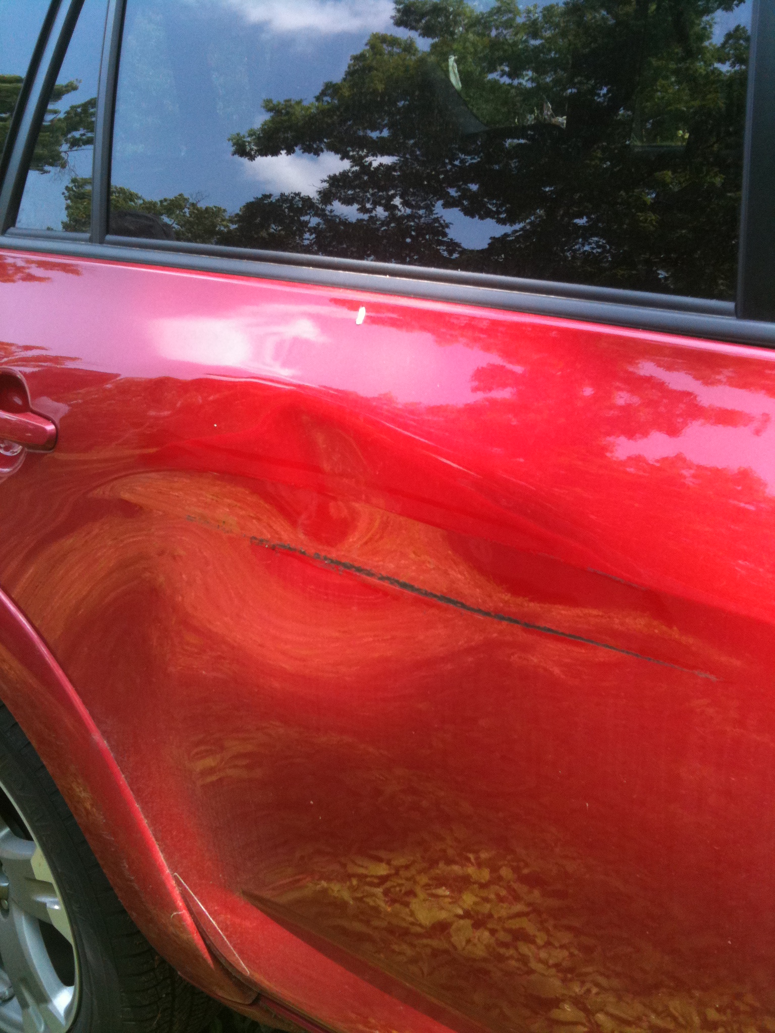
A little damage
The other angle

Lazy dog
The sky adds to the scene...
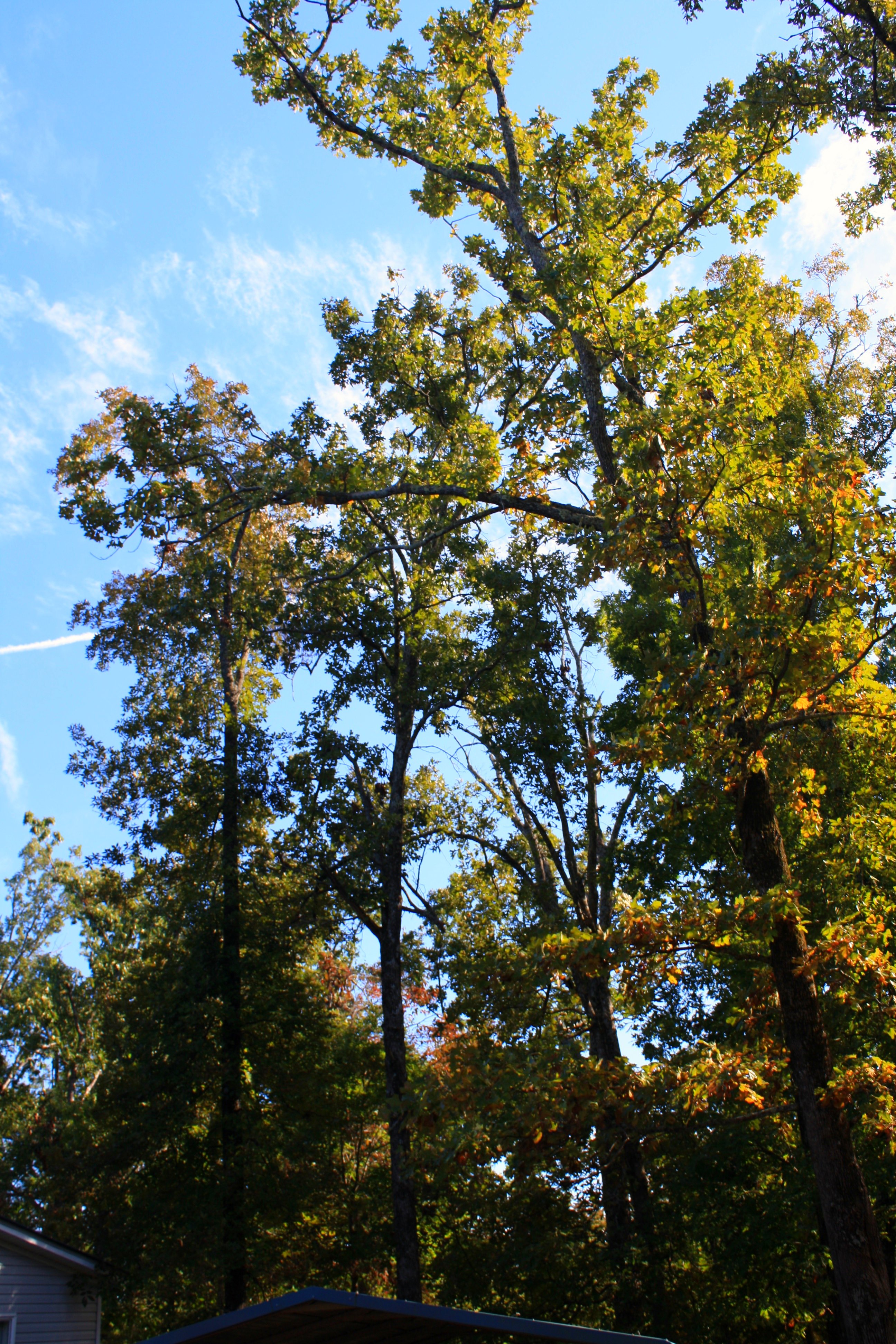
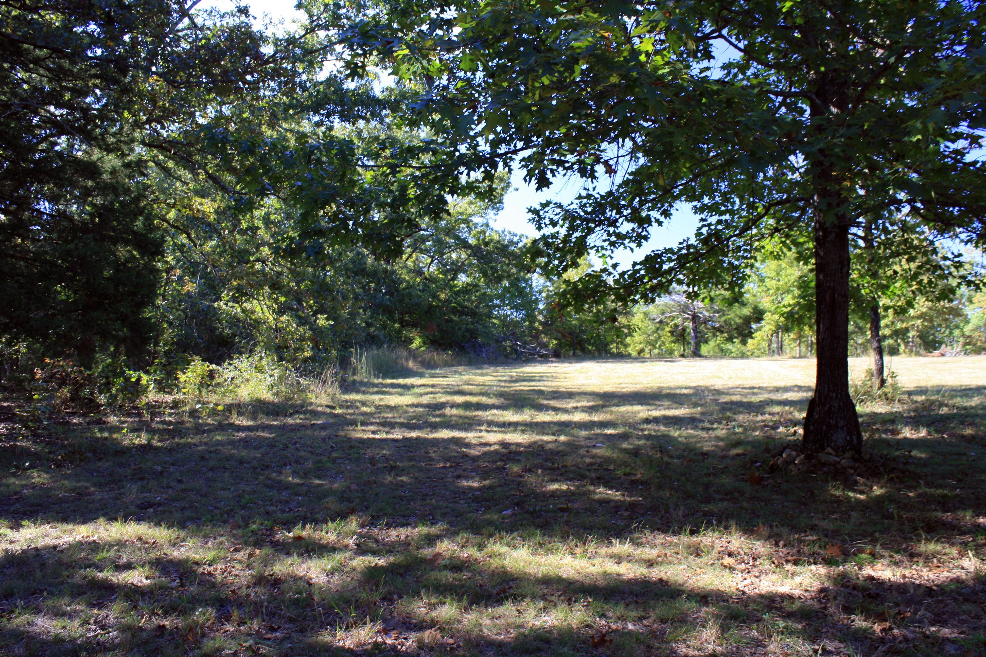
Trees everywhere
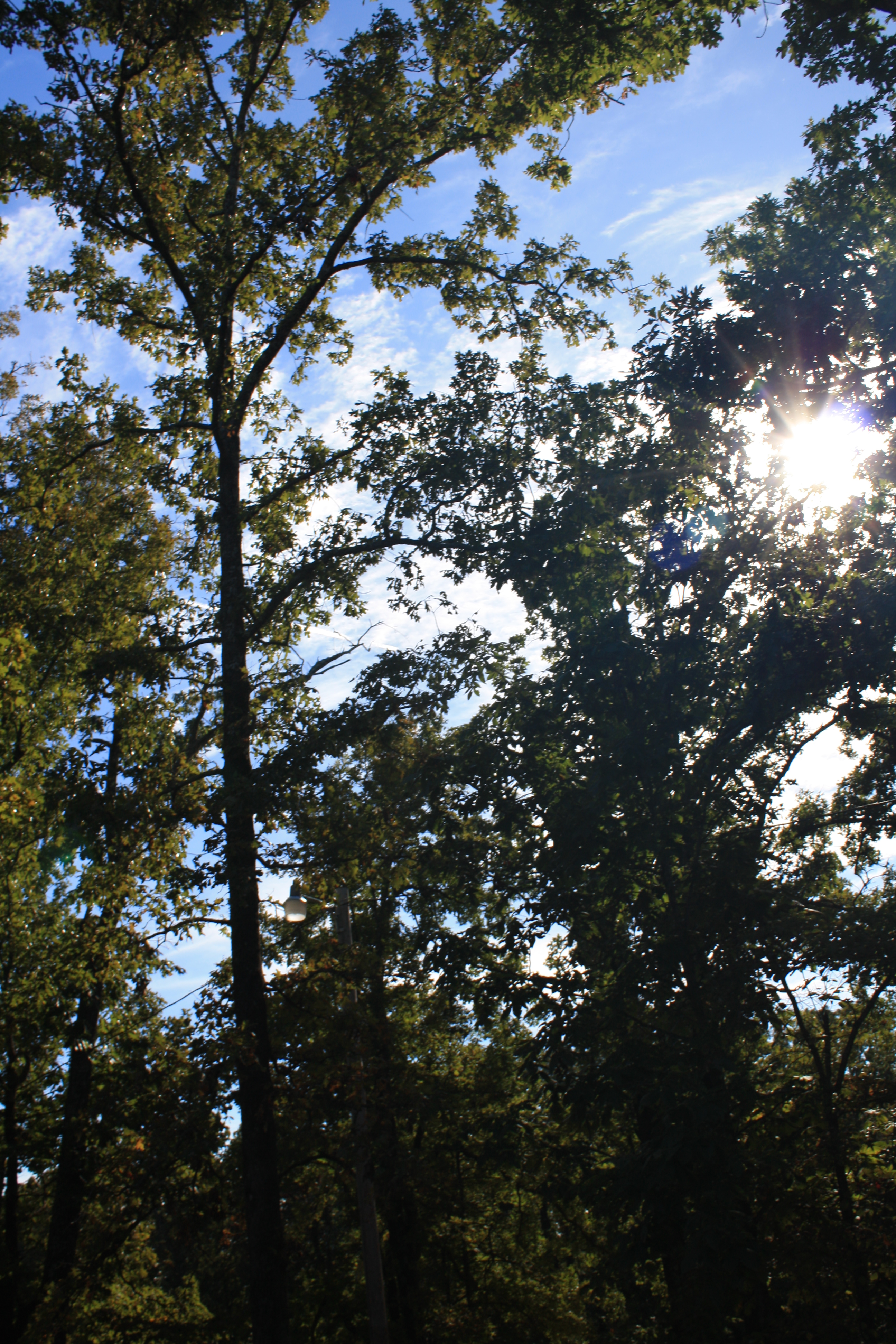
Tree-filtered sunlight
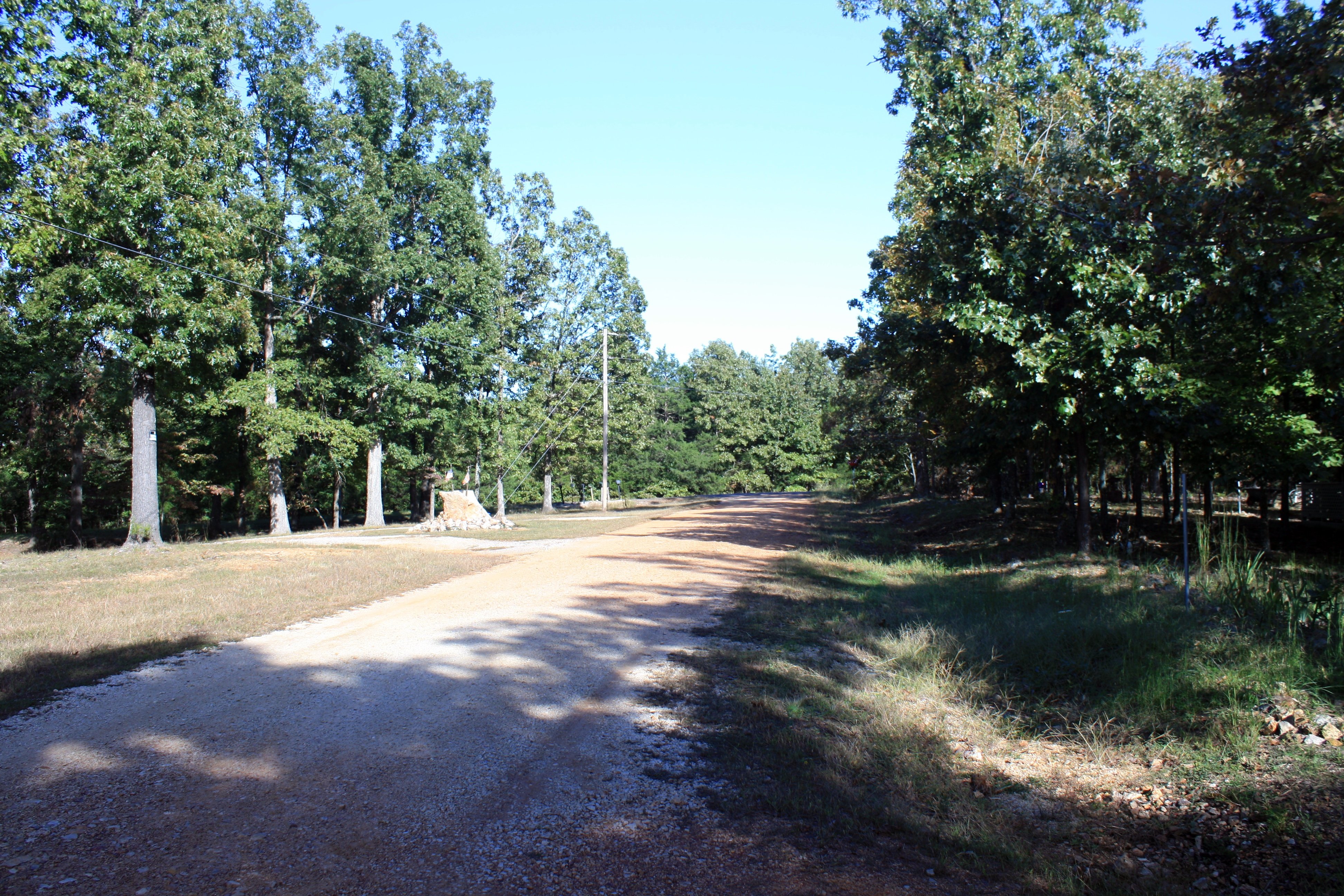
The road out front
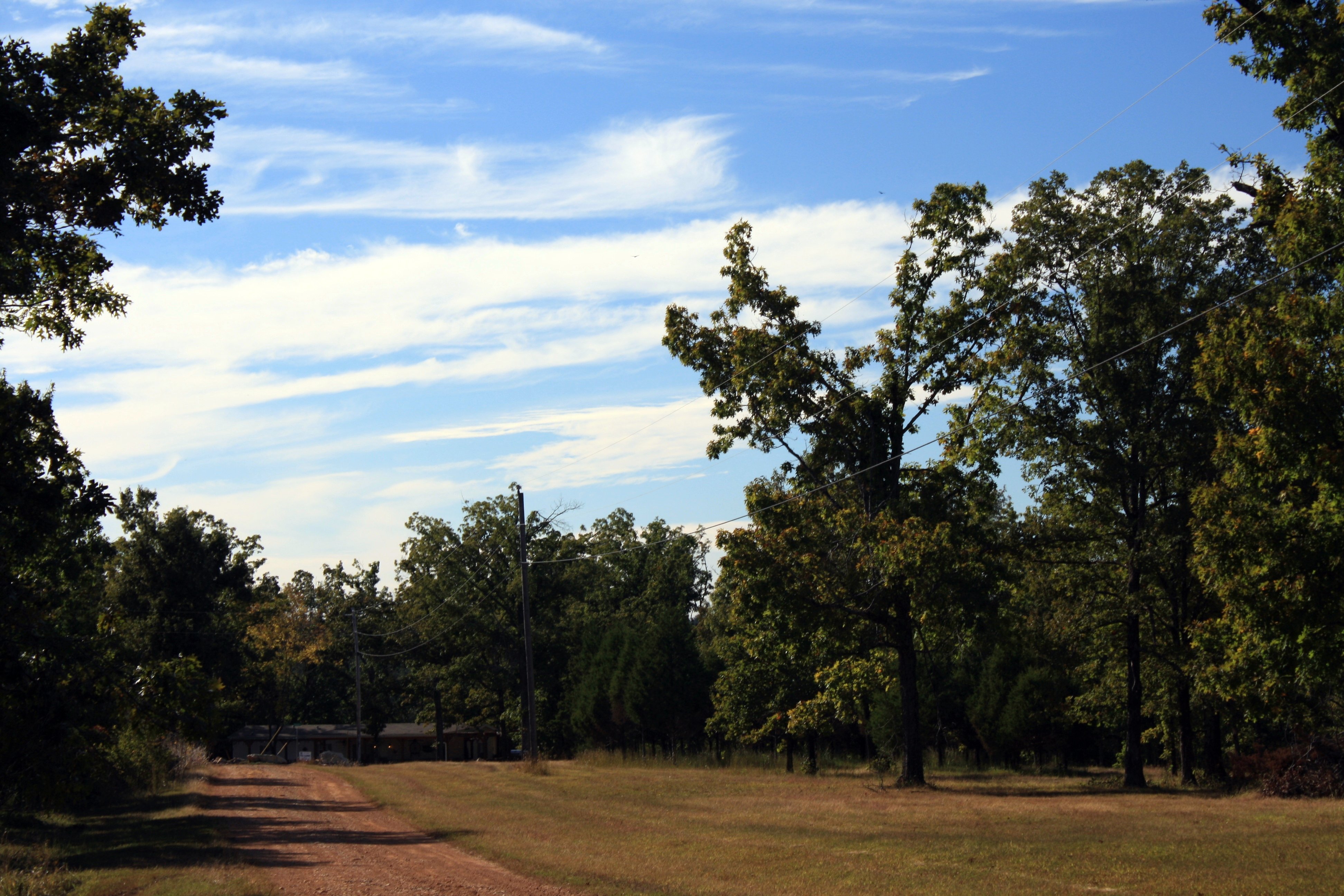
To the NW
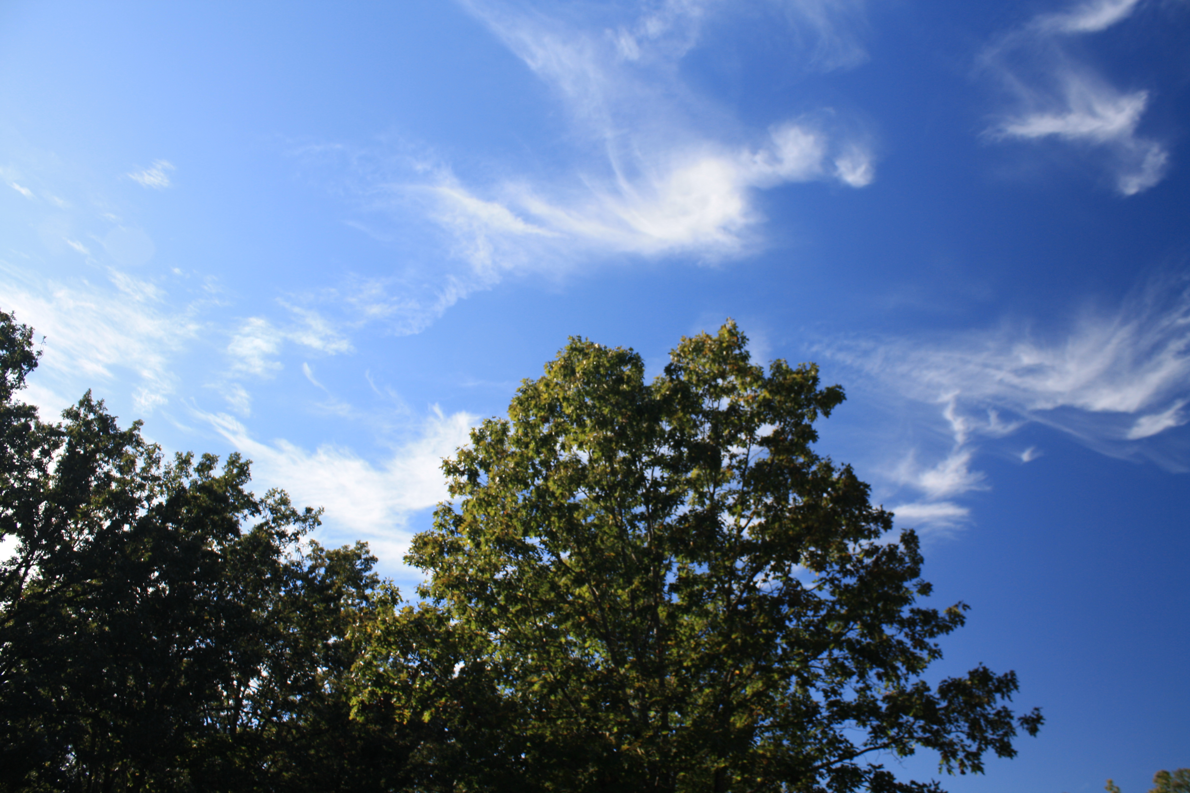
Cirrus "tails"
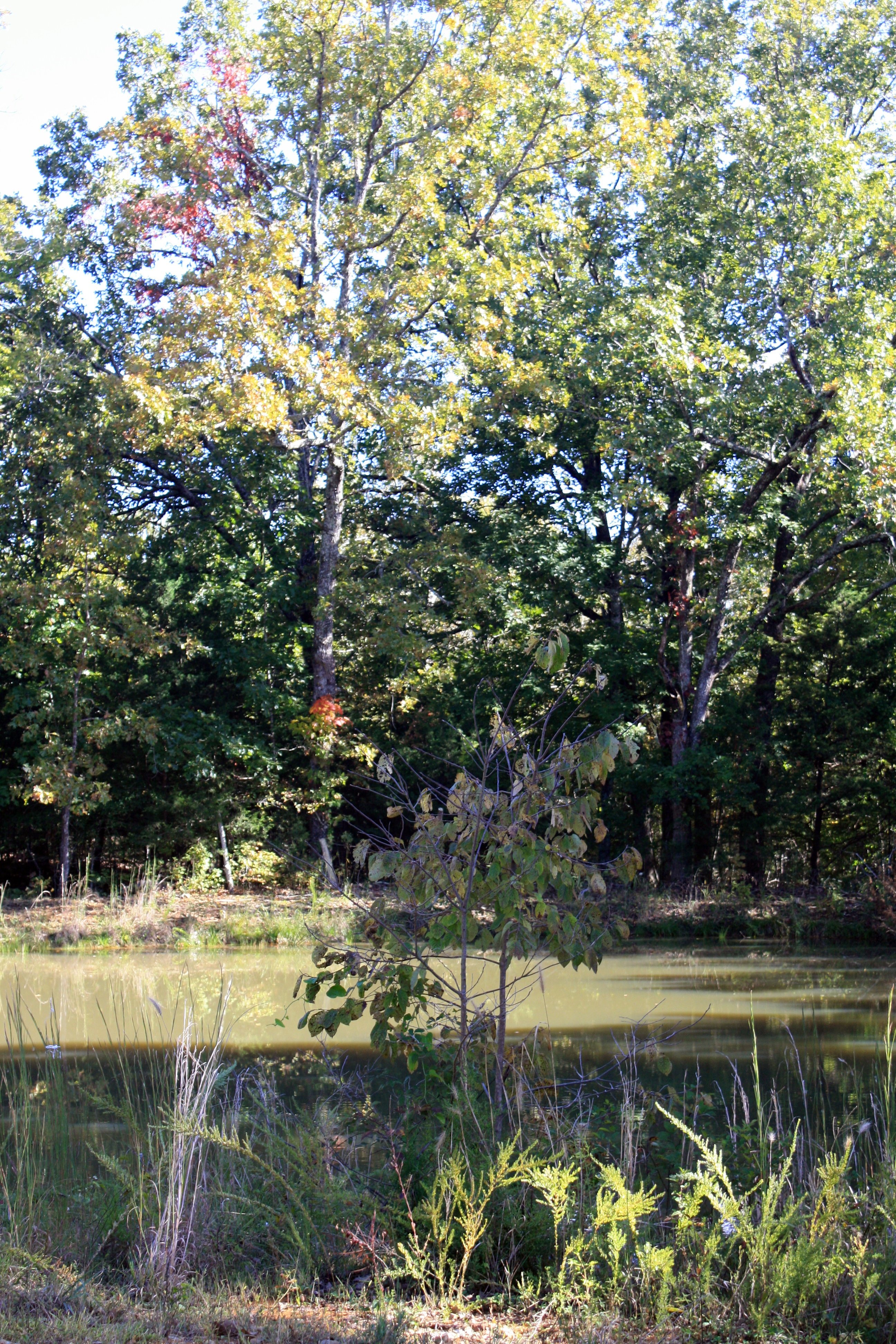
By the pond
Out back
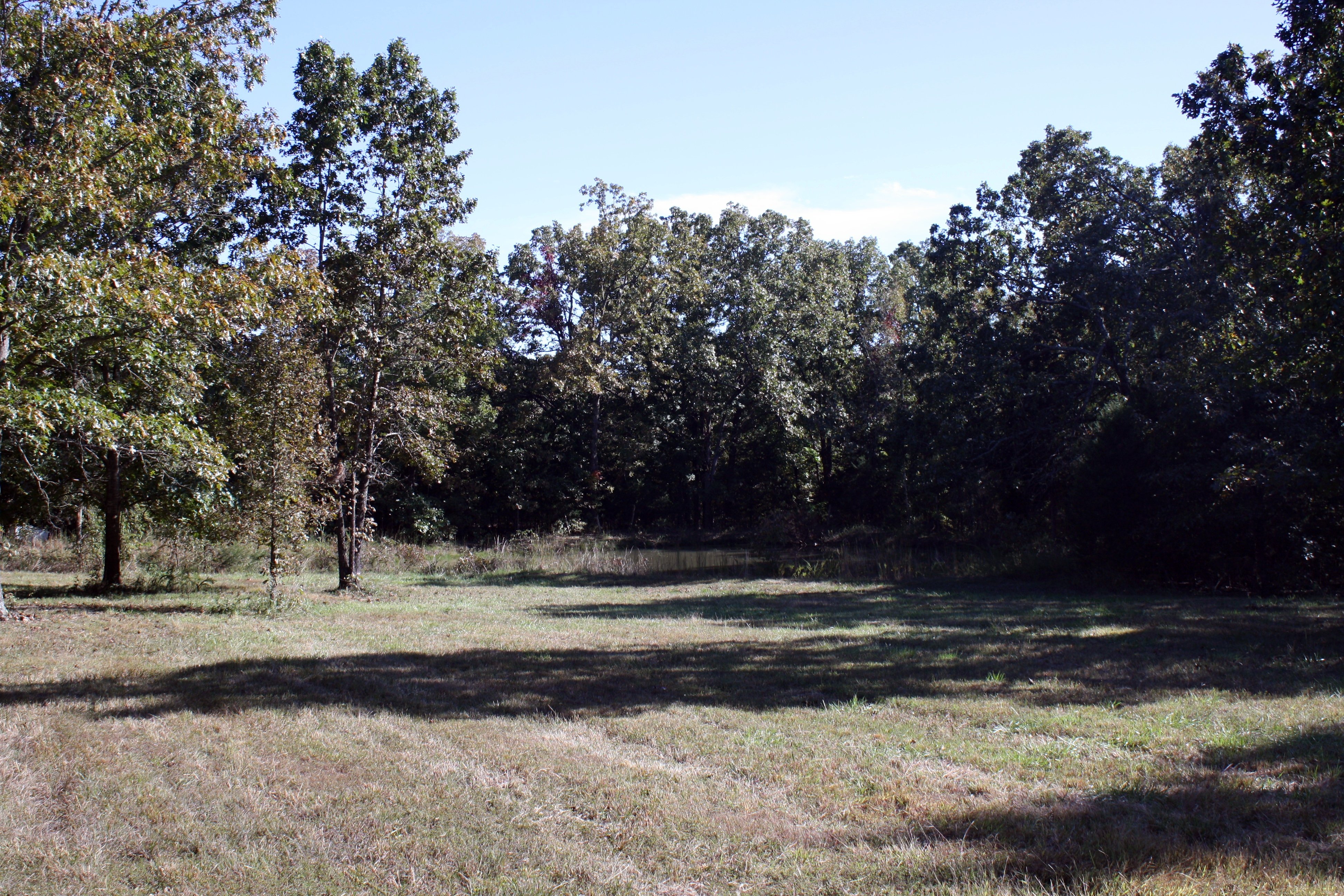
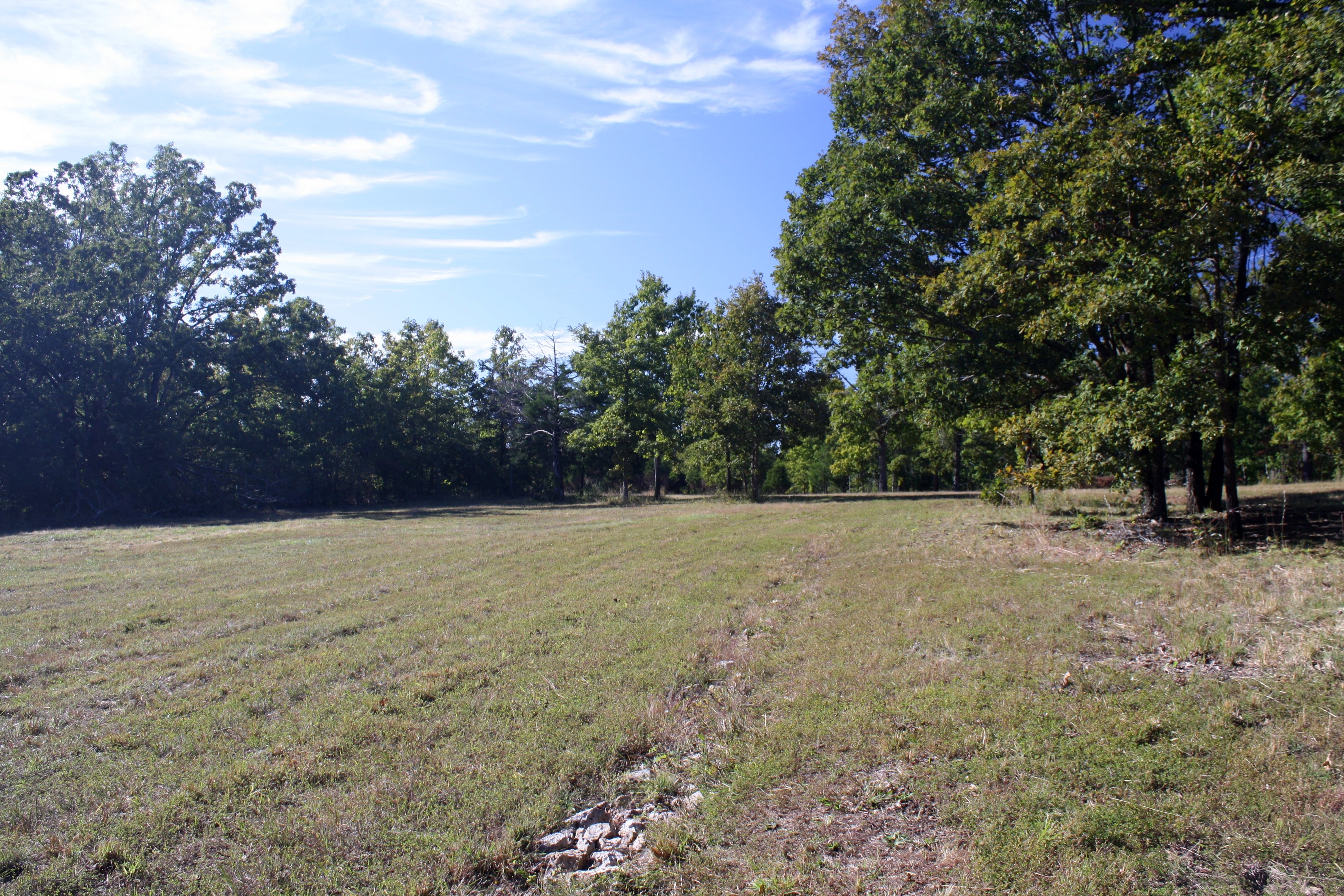
Part of the field and pond
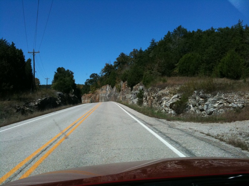
Near Williford
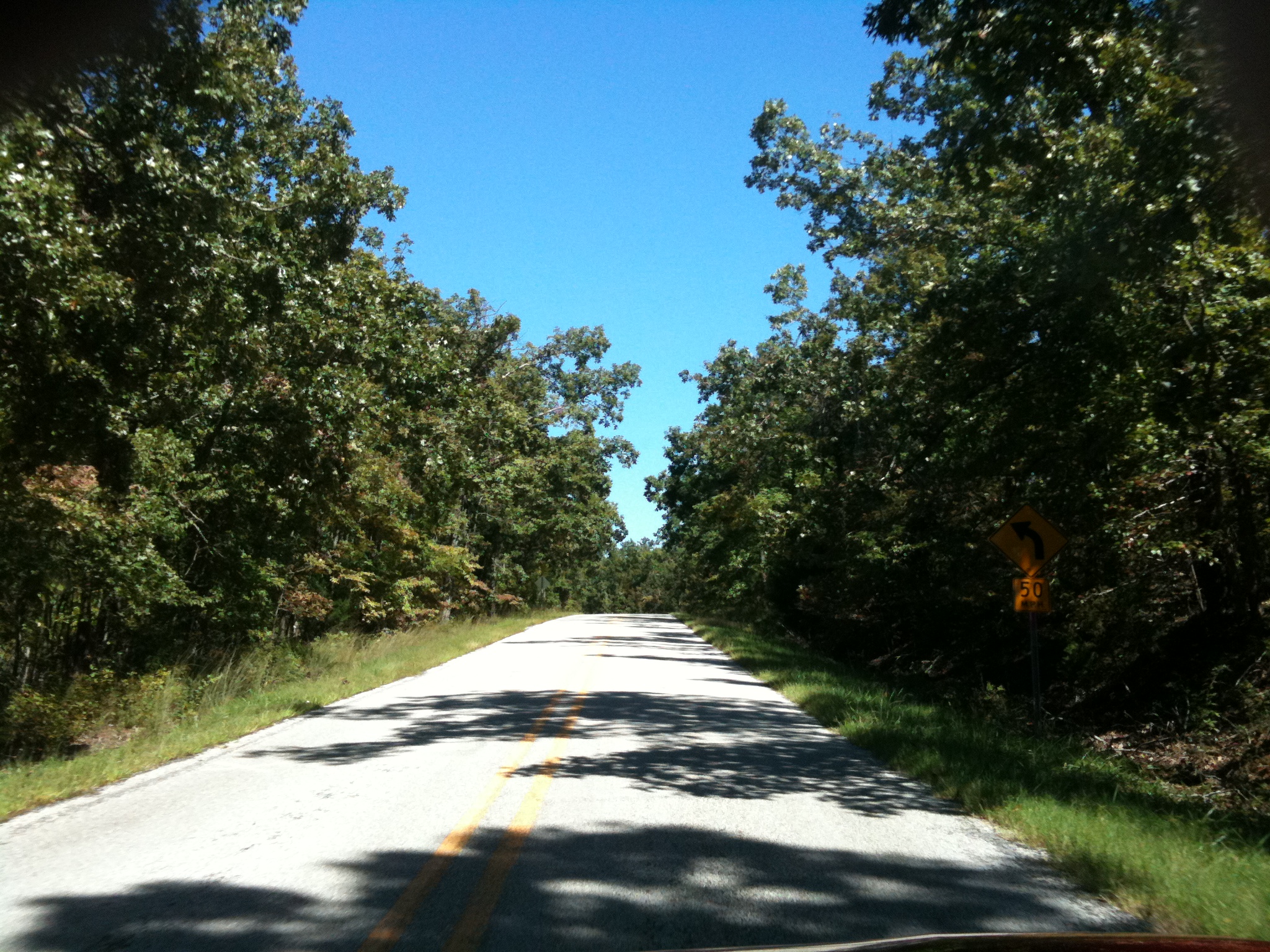
Road to Nowhere
Topographic Map of Strawberry Township, AR, USA
Find elevation by address:

Places in Strawberry Township, AR, USA:
Places near Strawberry Township, AR, USA:
708 Nelsonville Rd
Nelsonville Rd, Smithville, AR, USA
Big Creek Township
AR-58, Poughkeepsie, AR, USA
Poughkeepsie
North Big Rock Township
Copperhead Lane
Sharp County
North Lebanon Township
AR-58, Williford, AR, USA
Scott Township
Cave Township
102 W Red Barn Rd
US-, Cave City, AR, USA
Cave
E Center St, Cave City, AR, USA
515 Laman St
515 Laman St
515 Laman St
Cave City
Recent Searches:
- Elevation of Leguwa, Nepal
- Elevation of County Rd, Enterprise, AL, USA
- Elevation of Kolchuginsky District, Vladimir Oblast, Russia
- Elevation of Shustino, Vladimir Oblast, Russia
- Elevation of Lampiasi St, Sarasota, FL, USA
- Elevation of Elwyn Dr, Roanoke Rapids, NC, USA
- Elevation of Congressional Dr, Stevensville, MD, USA
- Elevation of Bellview Rd, McLean, VA, USA
- Elevation of Stage Island Rd, Chatham, MA, USA
- Elevation of Shibuya Scramble Crossing, 21 Udagawacho, Shibuya City, Tokyo -, Japan