Elevation of Poughkeepsie, AR, USA
Location: United States > Arkansas > Sharp County > North Big Rock Township >
Longitude: -91.479303
Latitude: 36.0767373
Elevation: 140m / 459feet
Barometric Pressure: 100KPa
Elevation Map:
Satellite Map:
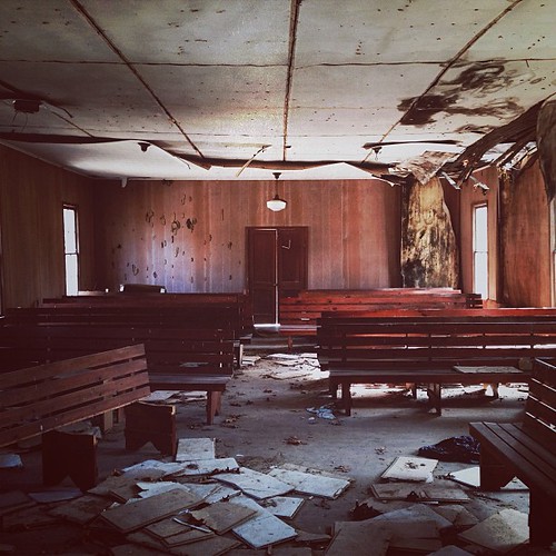
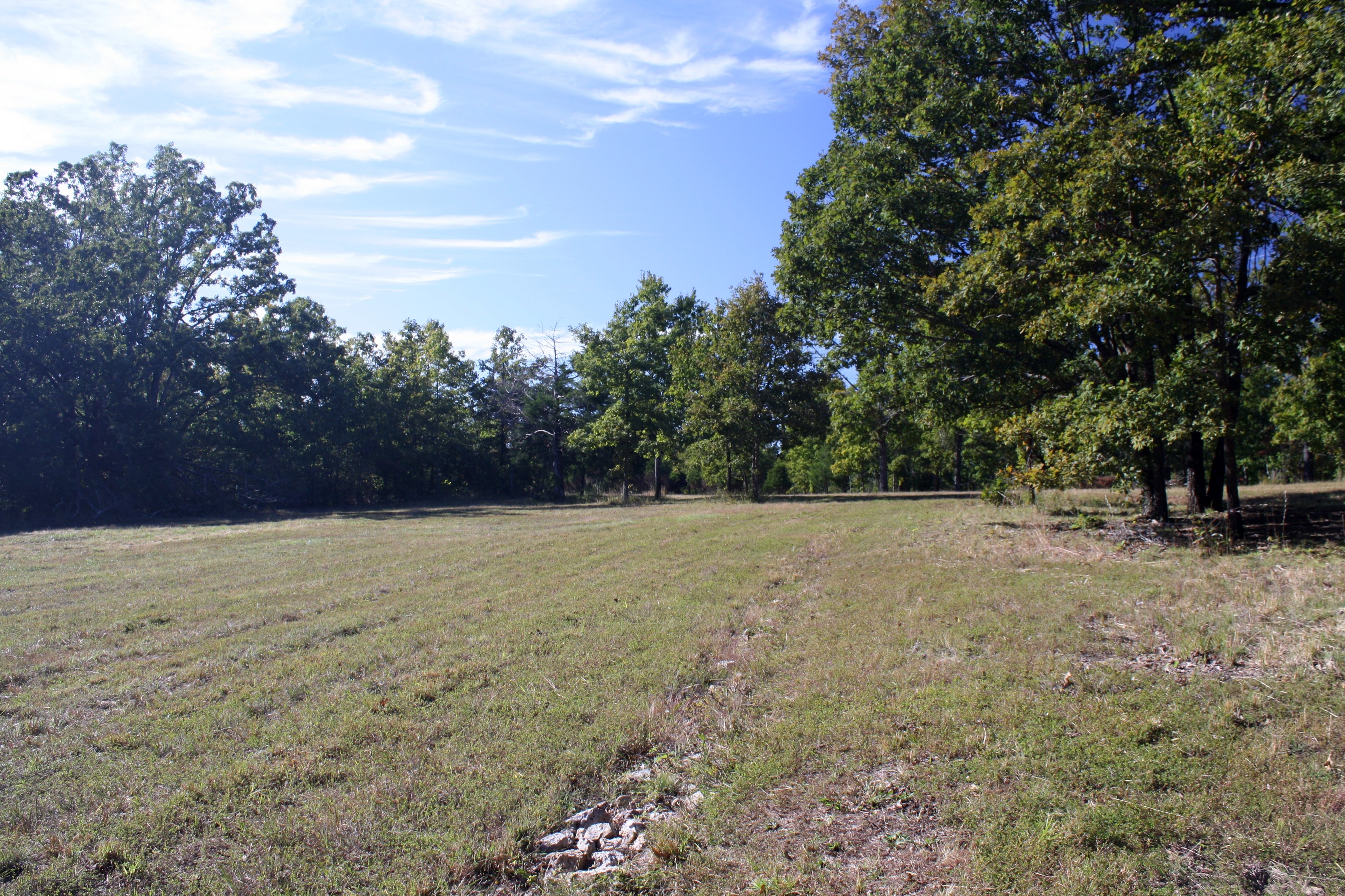
Related Photos:
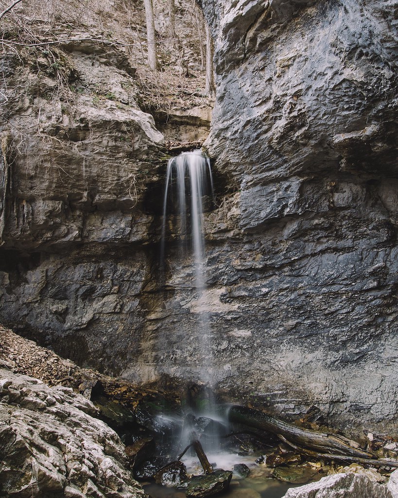
24' Lower Armadillo Falls, Lost Valley State Park, Arkansas
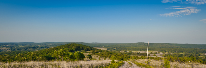
Buchanan Mountain-3
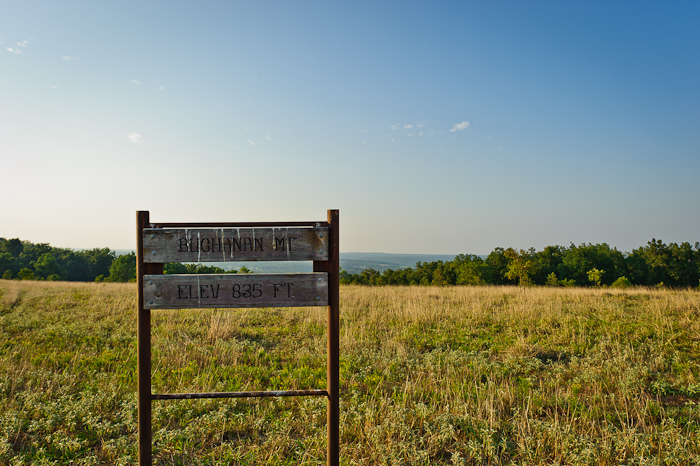
Buchanan Mountain-2

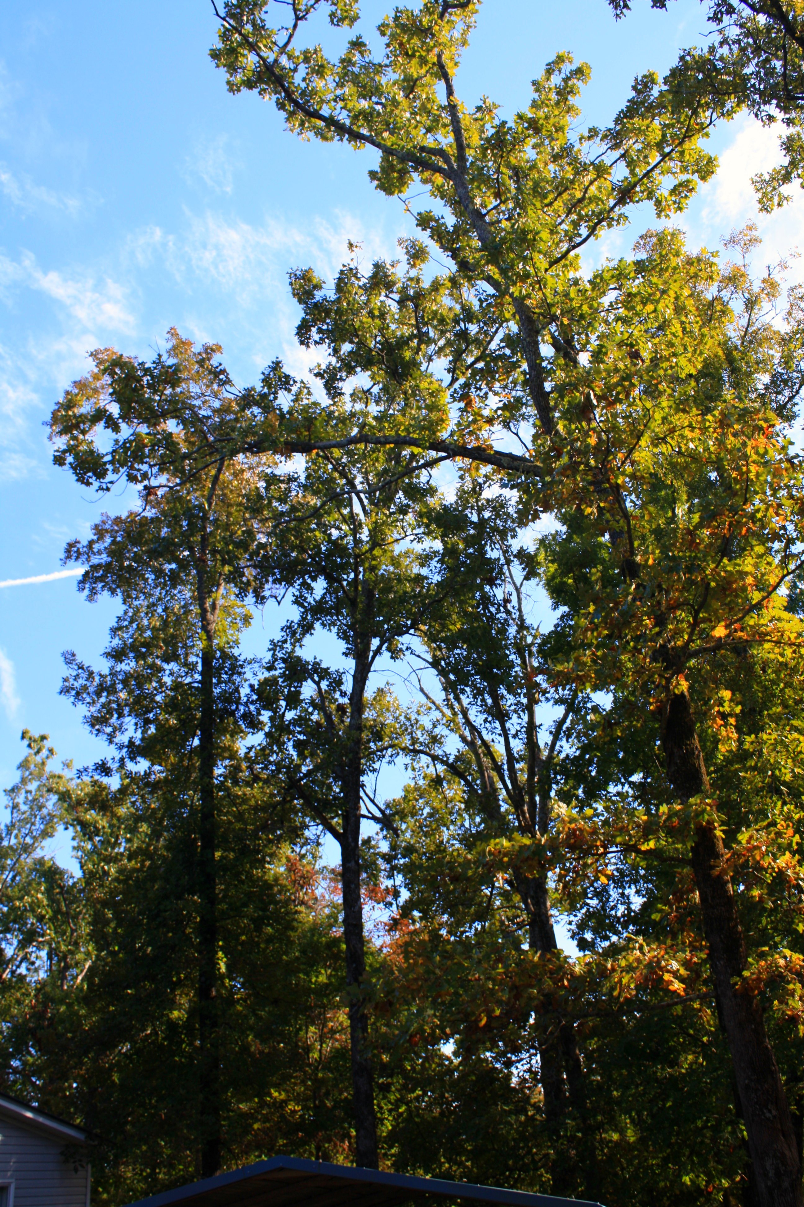
Back yard
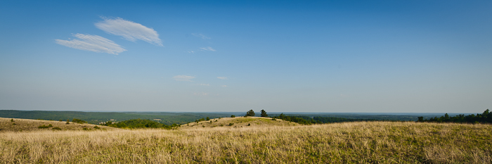
Buchanan Mountain-1
Scratching at the surface Pushing up the sternum Lesser sounds of man Murky hapless truths Overwhelm the quiet Voice Screaming for an ear Searching for a heart The Comforter left alone and cold Standing in the alley Pointing pilgrims home Toward a promis

gb cass
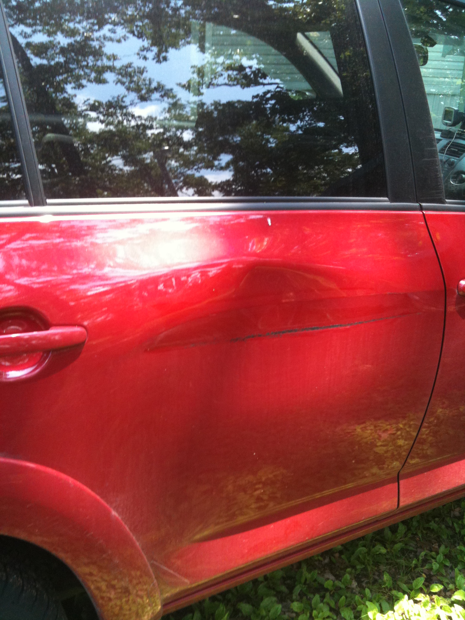
A little damage
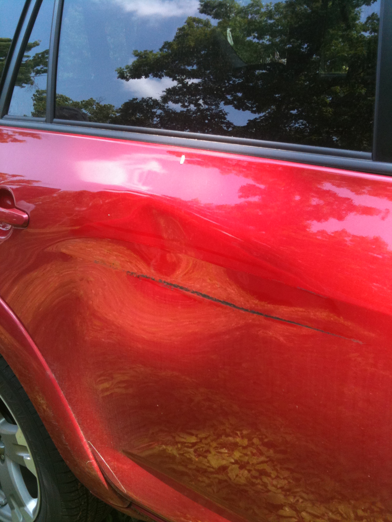
The other angle

Lazy dog
The sky adds to the scene...
Trees everywhere
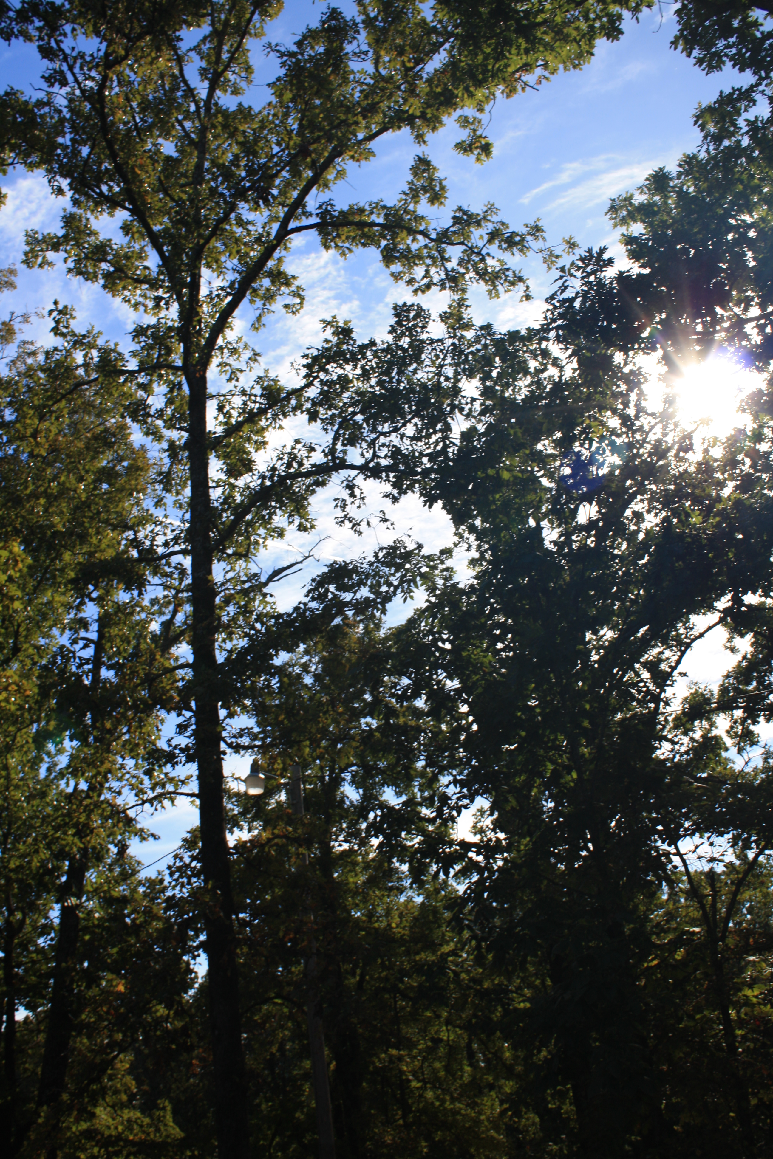
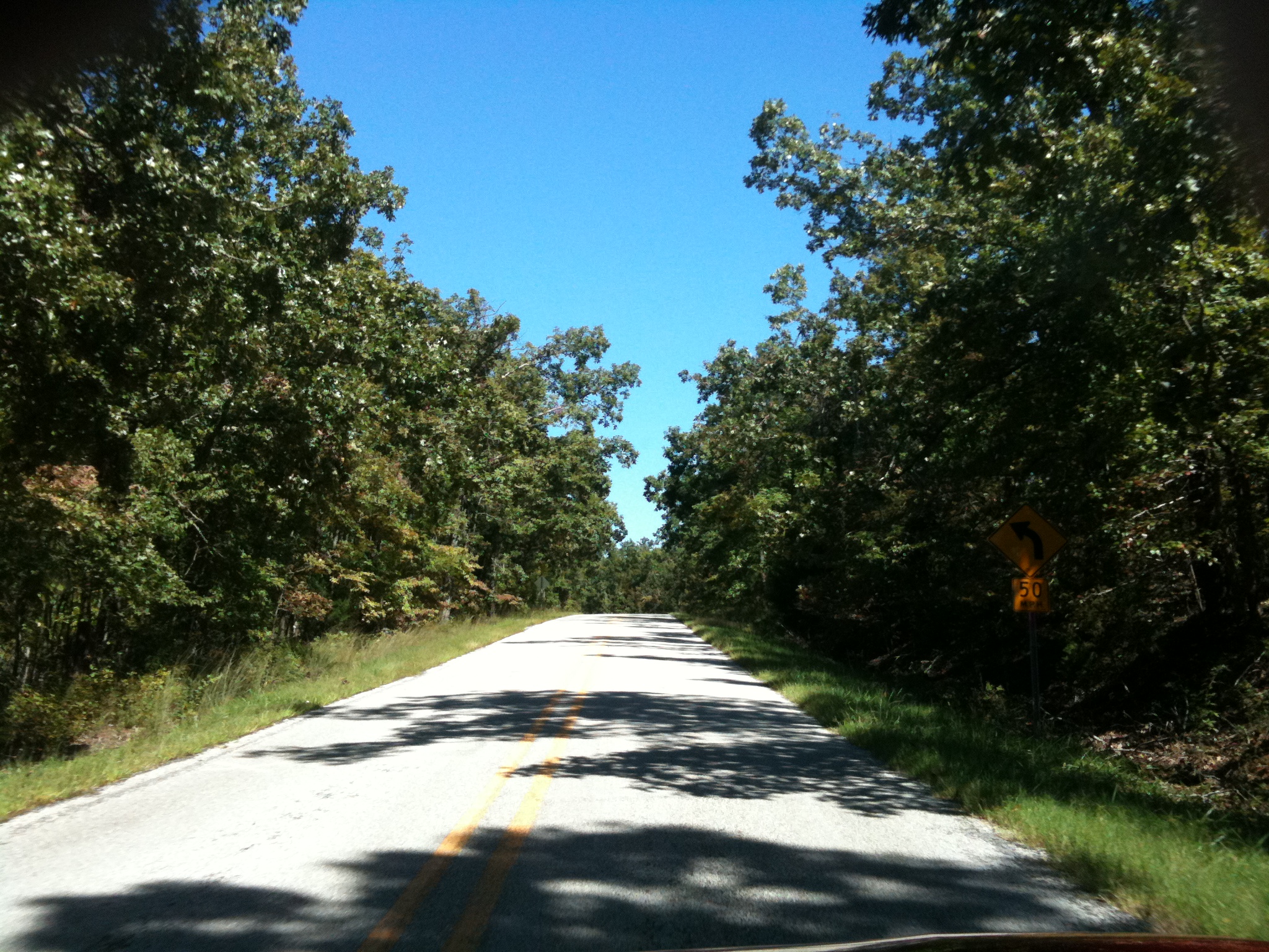
Tree-filtered sunlight
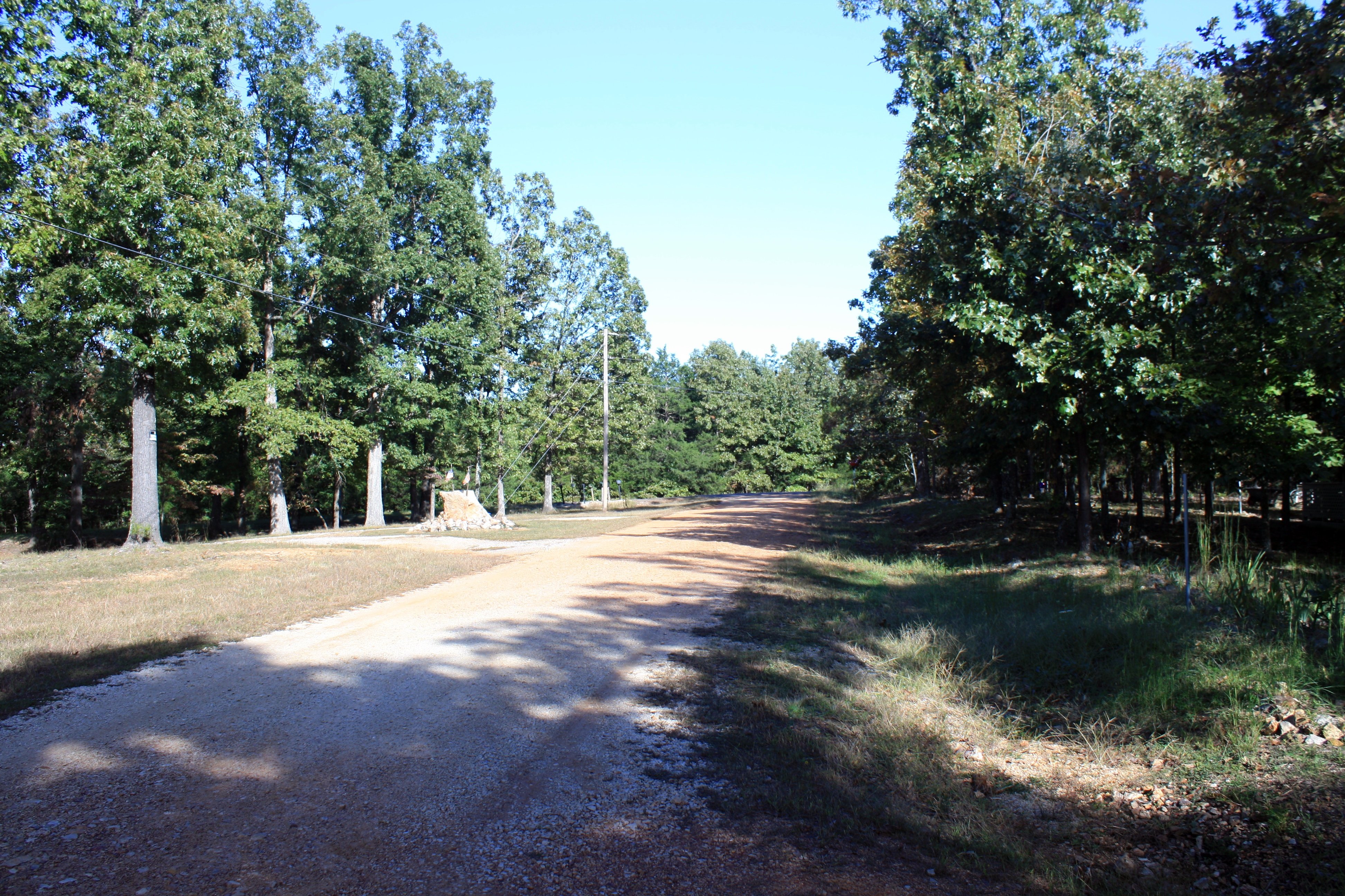
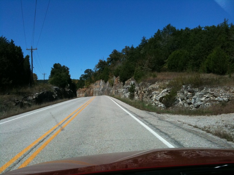
The road out front
To the NW
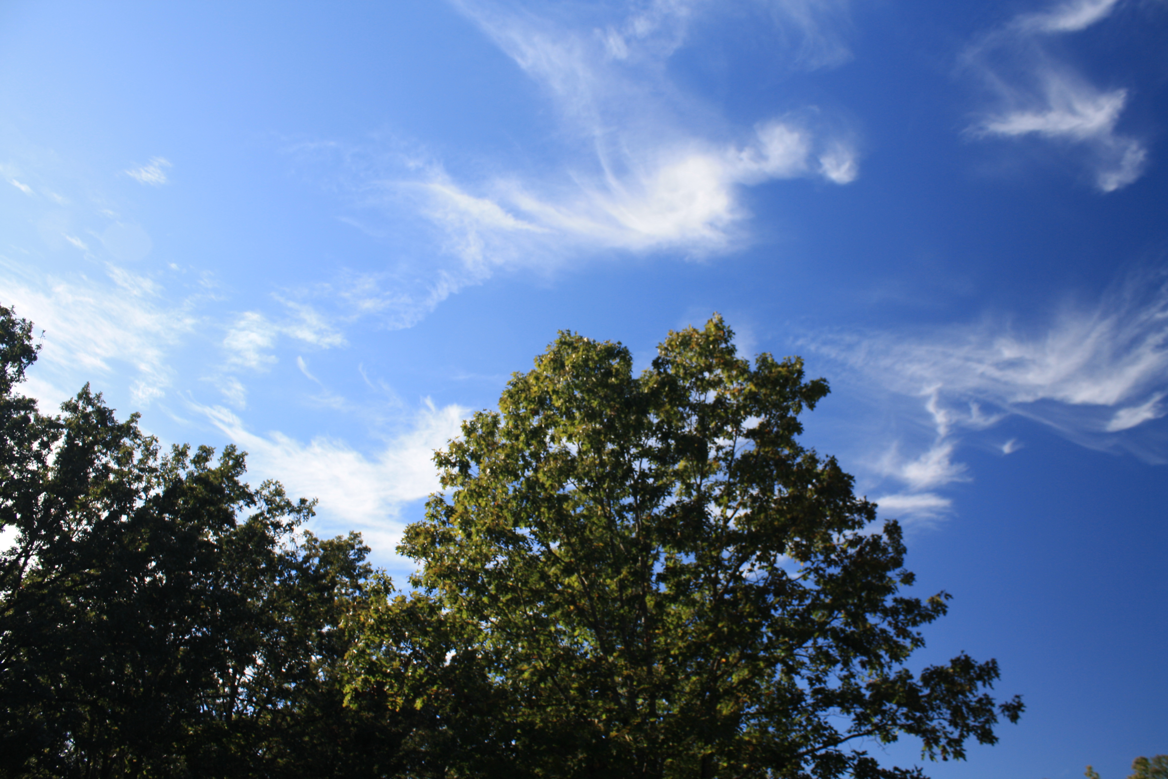
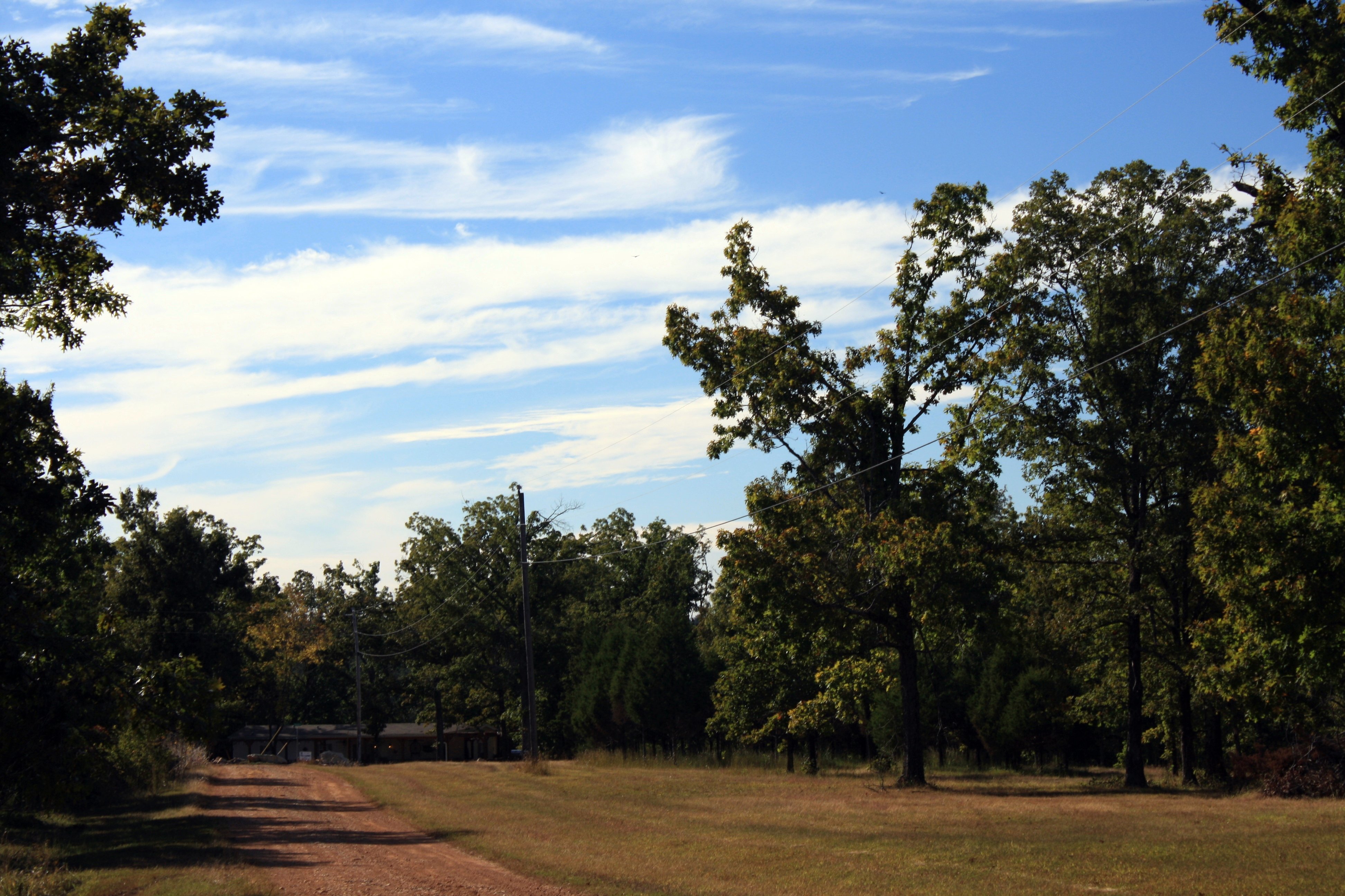
Cirrus "tails"
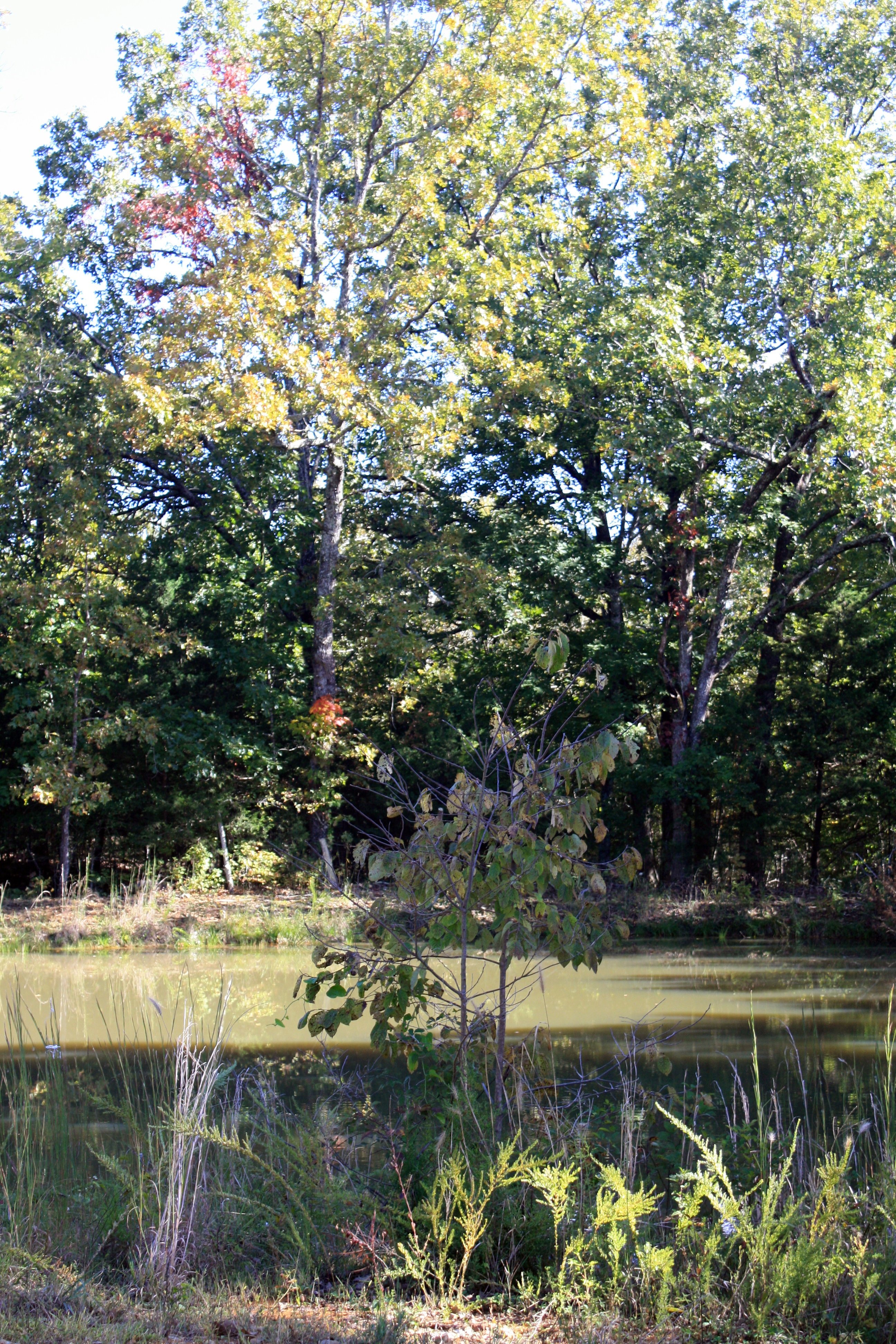
By the pond
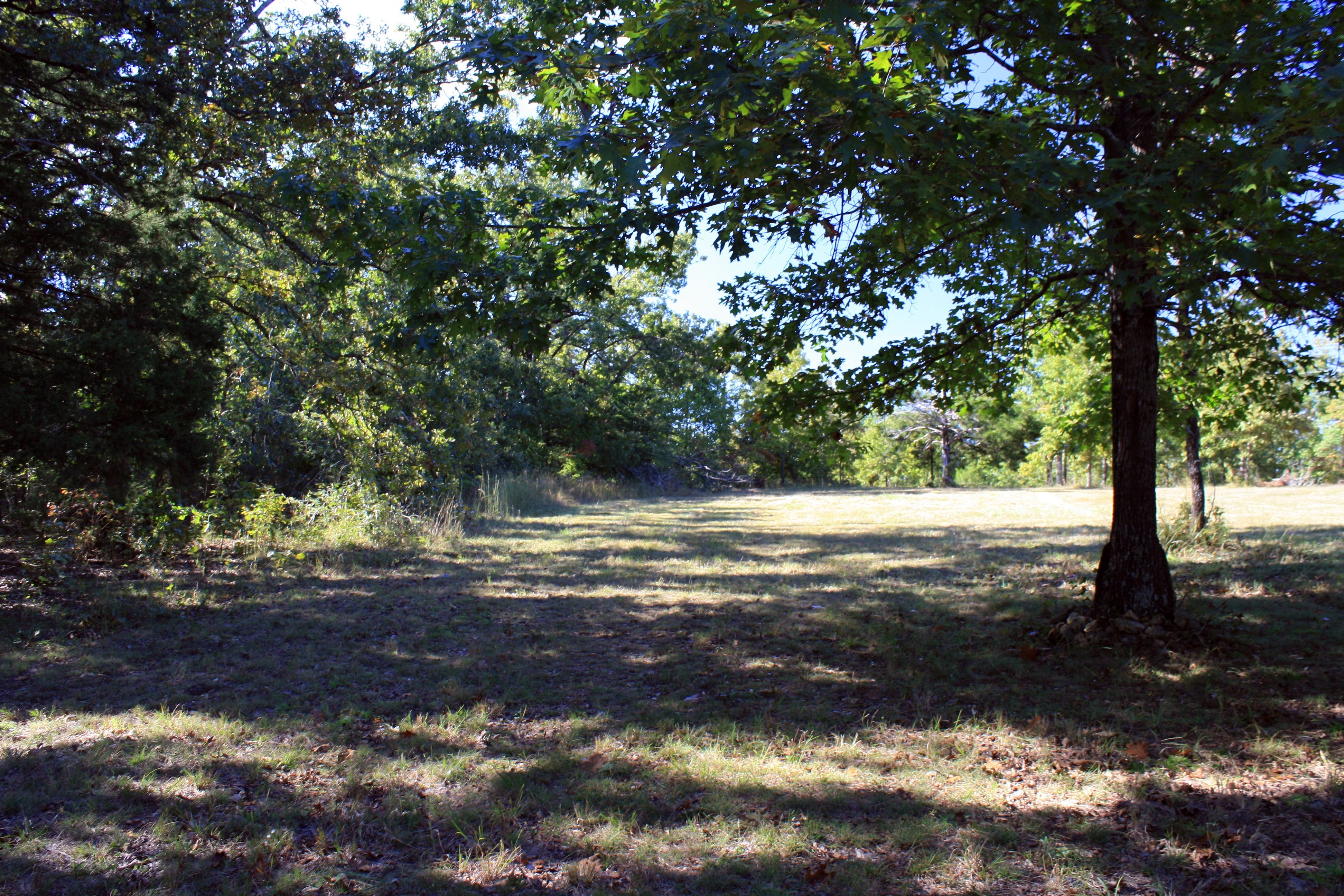
Out back
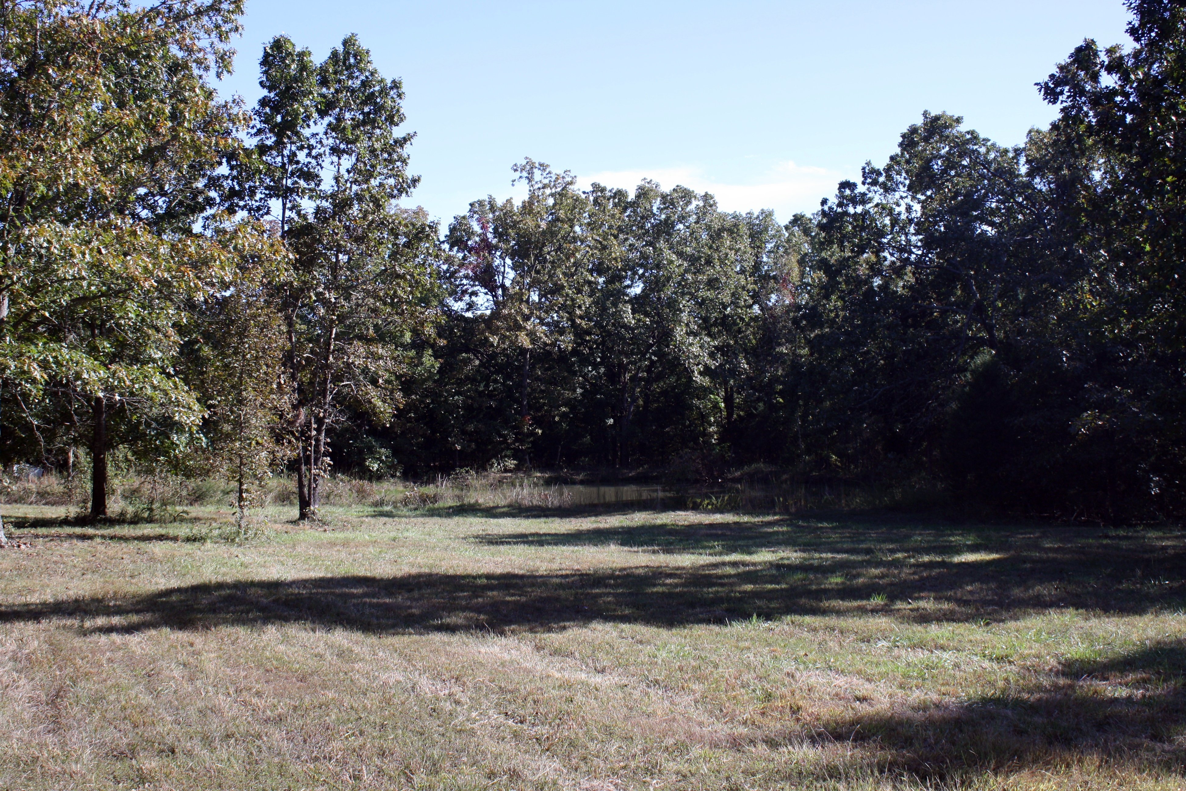
Part of the field and pond
Near Williford
Road to Nowhere
Topographic Map of Poughkeepsie, AR, USA
Find elevation by address:

Places in Poughkeepsie, AR, USA:
Places near Poughkeepsie, AR, USA:
AR-58, Poughkeepsie, AR, USA
North Big Rock Township
Nelsonville Rd, Smithville, AR, USA
Strawberry Township
708 Nelsonville Rd
Big Creek Township
Sharp County
102 W Red Barn Rd
North Lebanon Township
Copperhead Lane
AR-58, Williford, AR, USA
Cave Township
US-, Cave City, AR, USA
99 Park Cir
Piney Fork Township
Evening Shade
140 E Campground Rd
150 E Campground Rd
148 E Campground Rd
148 E Campground Rd
Recent Searches:
- Elevation of Elwyn Dr, Roanoke Rapids, NC, USA
- Elevation of Congressional Dr, Stevensville, MD, USA
- Elevation of Bellview Rd, McLean, VA, USA
- Elevation of Stage Island Rd, Chatham, MA, USA
- Elevation of Shibuya Scramble Crossing, 21 Udagawacho, Shibuya City, Tokyo -, Japan
- Elevation of Jadagoniai, Kaunas District Municipality, Lithuania
- Elevation of Pagonija rock, Kranto 7-oji g. 8"N, Kaunas, Lithuania
- Elevation of Co Rd 87, Jamestown, CO, USA
- Elevation of Tenjo, Cundinamarca, Colombia
- Elevation of Côte-des-Neiges, Montreal, QC H4A 3J6, Canada