Elevation of Big Creek Township, AR, USA
Location: United States > Arkansas > Sharp County >
Longitude: -91.424142
Latitude: 36.0156669
Elevation: 130m / 427feet
Barometric Pressure: 100KPa
Elevation Map:
Satellite Map:
Related Photos:
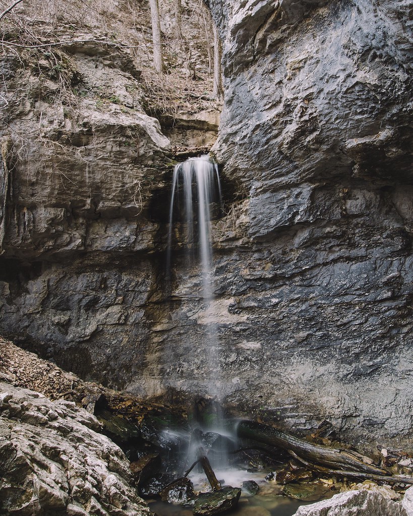
24' Lower Armadillo Falls, Lost Valley State Park, Arkansas

Back yard

Chilling at Adam's house!

Scratching at the surface Pushing up the sternum Lesser sounds of man Murky hapless truths Overwhelm the quiet Voice Screaming for an ear Searching for a heart The Comforter left alone and cold Standing in the alley Pointing pilgrims home Toward a promis
Topographic Map of Big Creek Township, AR, USA
Find elevation by address:

Places in Big Creek Township, AR, USA:
Places near Big Creek Township, AR, USA:
Copperhead Lane
Scott Township
Cave Township
Cave
E Center St, Cave City, AR, USA
Cave City
500 Matlock Rd
515 Laman St
515 Laman St
515 Laman St
US-, Cave City, AR, USA
102 W Red Barn Rd
1005 Sunset Ridge
Barren Township
671 Antioch Rd
East Sullivan Township
Sidney Rd, Sidney, AR, USA
Sidney
West Sullivan Township
Barren Fork Township
Recent Searches:
- Elevation of Felindre, Swansea SA5 7LU, UK
- Elevation of Leyte Industrial Development Estate, Isabel, Leyte, Philippines
- Elevation of W Granada St, Tampa, FL, USA
- Elevation of Pykes Down, Ivybridge PL21 0BY, UK
- Elevation of Jalan Senandin, Lutong, Miri, Sarawak, Malaysia
- Elevation of Bilohirs'k
- Elevation of 30 Oak Lawn Dr, Barkhamsted, CT, USA
- Elevation of Luther Road, Luther Rd, Auburn, CA, USA
- Elevation of Unnamed Road, Respublika Severnaya Osetiya — Alaniya, Russia
- Elevation of Verkhny Fiagdon, North Ossetia–Alania Republic, Russia