Elevation of E Campground Rd, Evening Shade, AR, USA
Location: United States > Arkansas > Sharp County > Lave Creek Township >
Longitude: -91.60184
Latitude: 36.146859
Elevation: 190m / 623feet
Barometric Pressure: 99KPa
Elevation Map:
Satellite Map:
Related Photos:
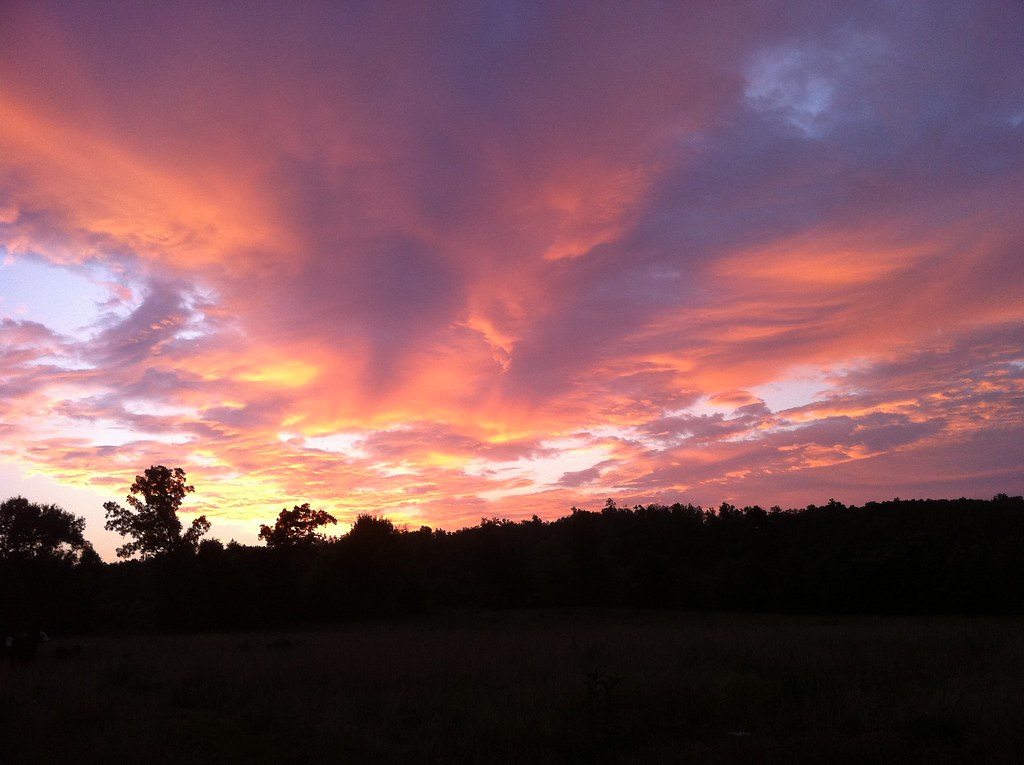
Fire Sky
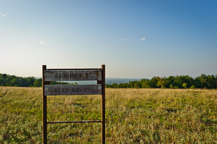
Buchanan Mountain-1
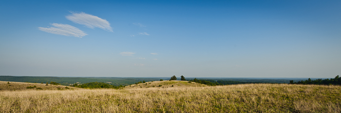
Buchanan Mountain-3
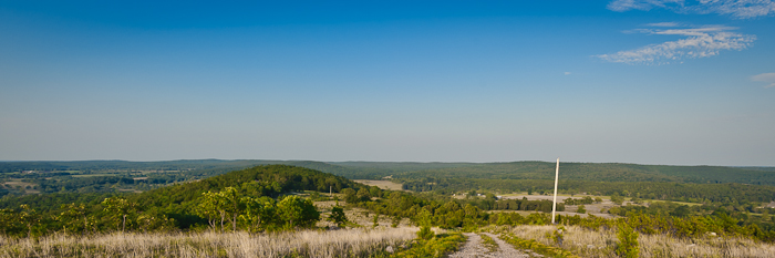
Buchanan Mountain-2

Back yard

You're welcome!
Eye in the Sky
Iris Stone Wall
HorseShoe Birdhouse
Blue Iris
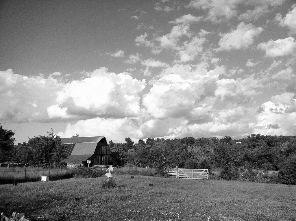
Barn and Clouds
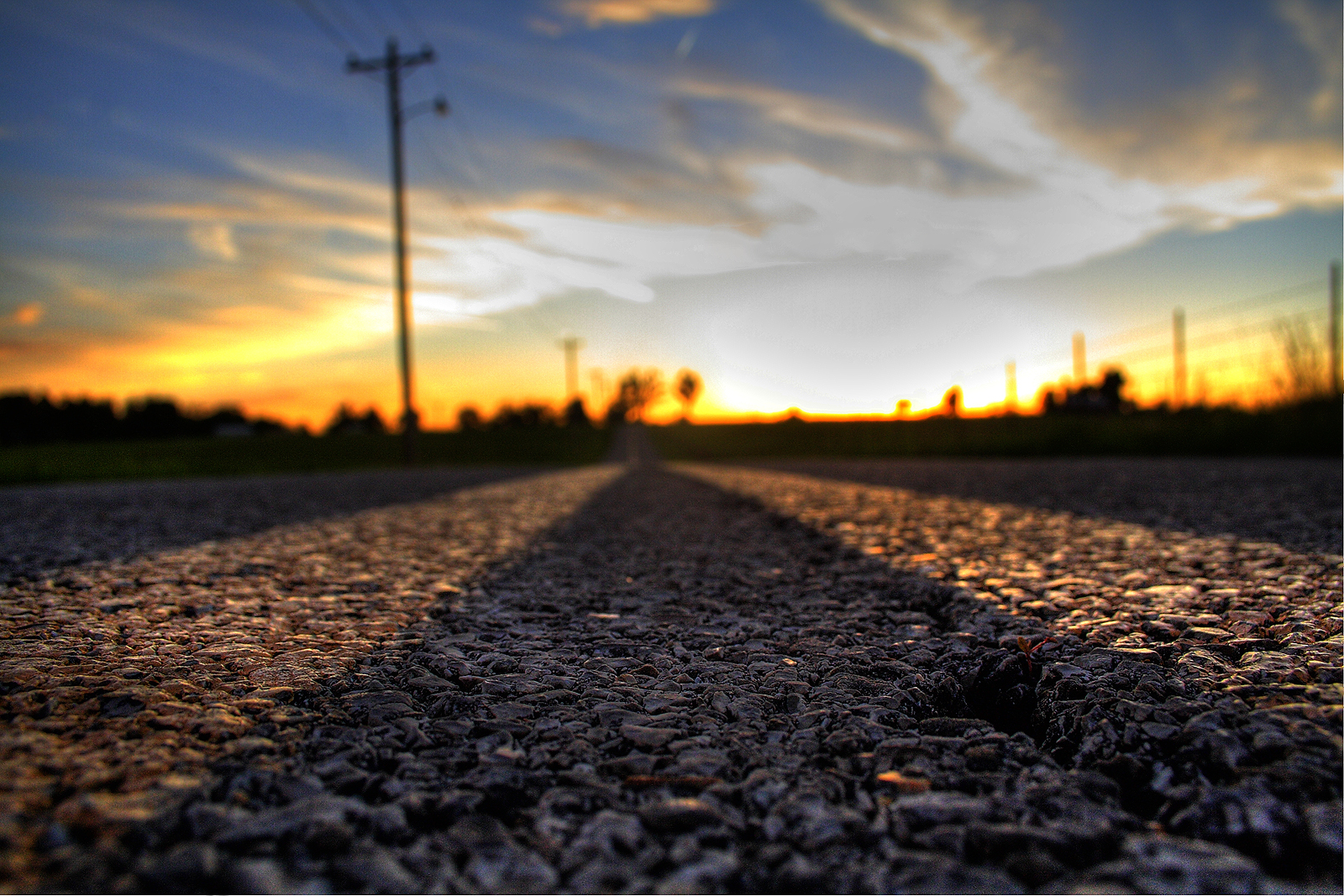
Let's Take A Long Drive Into The Sunset...
AR Sharp CH- Ash Flat (2)
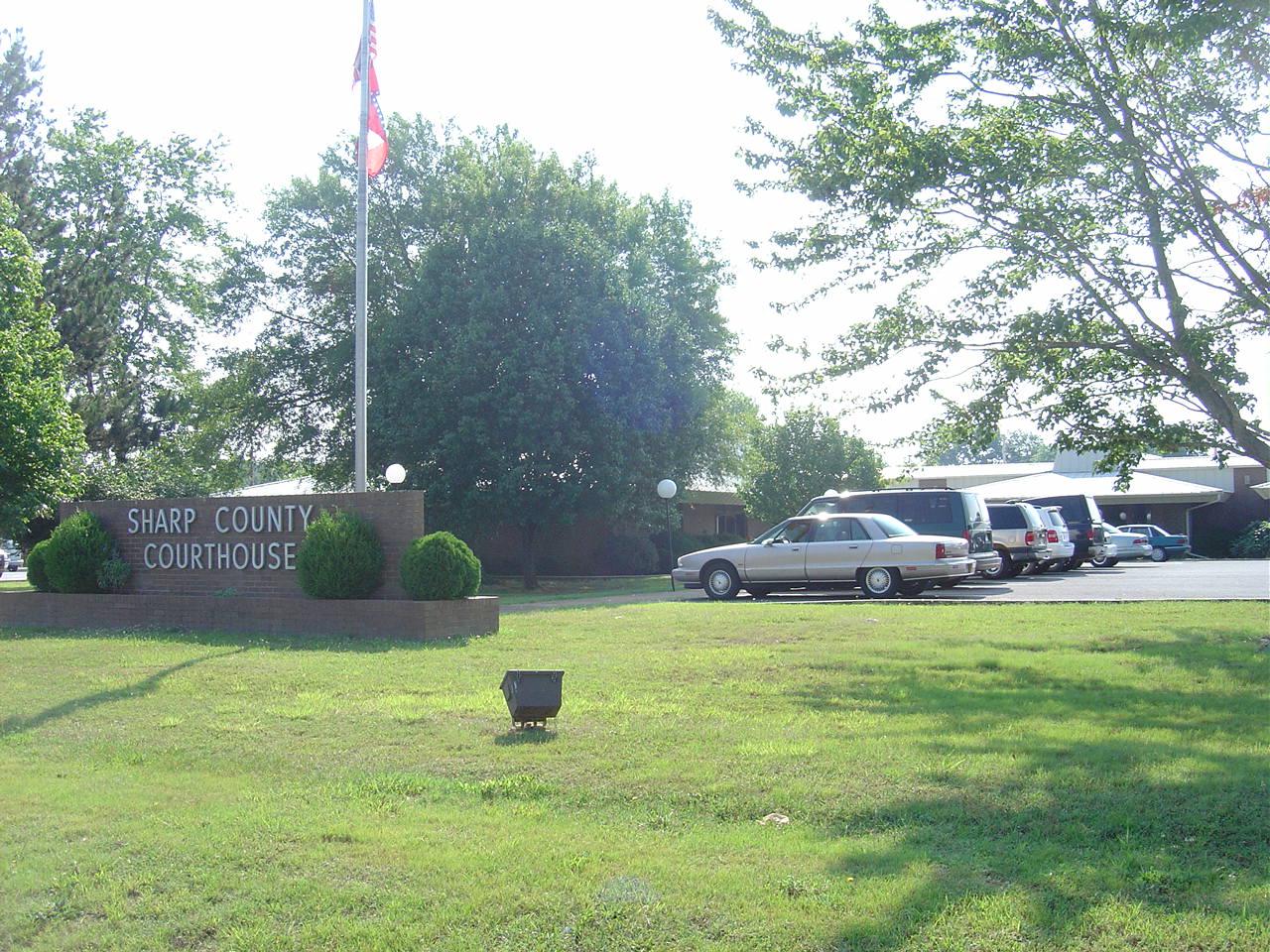
AR Sharp CH- Ash Flat
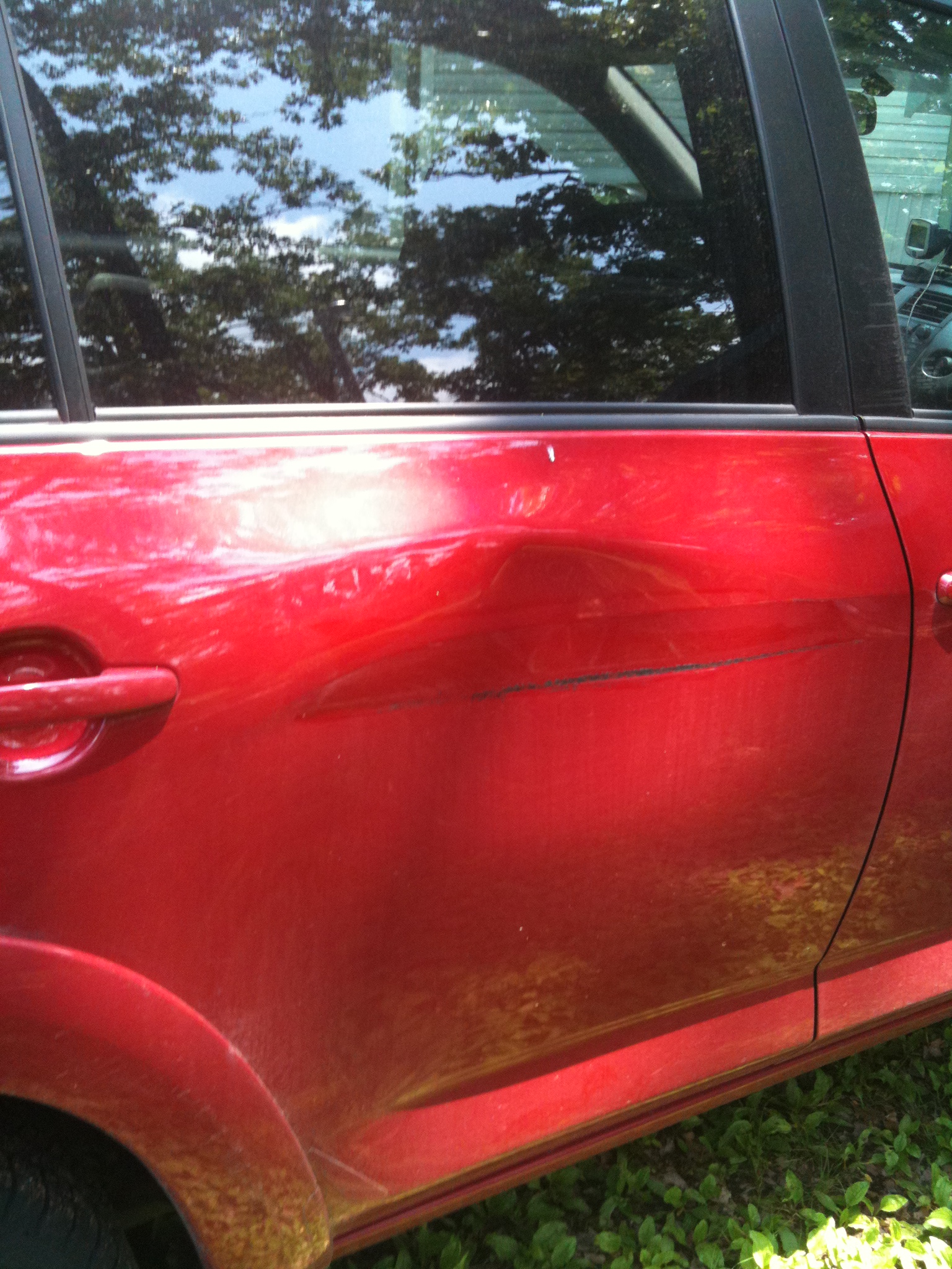
A little damage
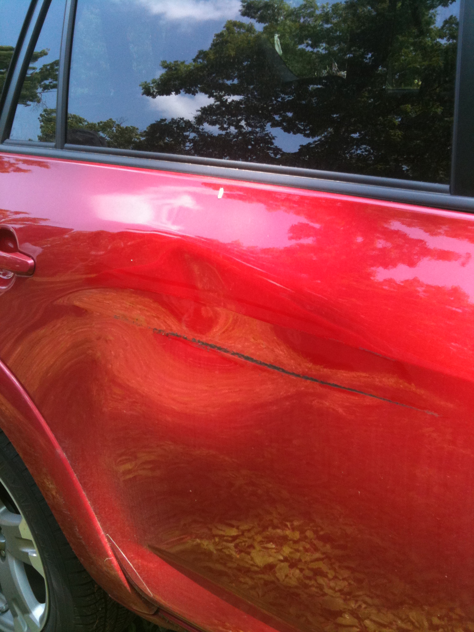
The other angle

Lazy dog
The sky adds to the scene...
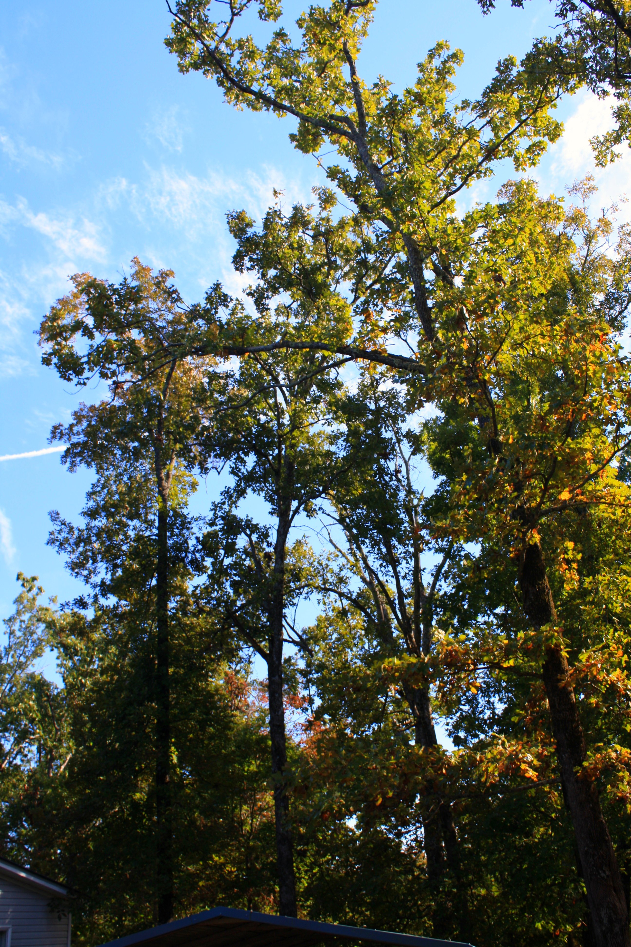
Trees everywhere
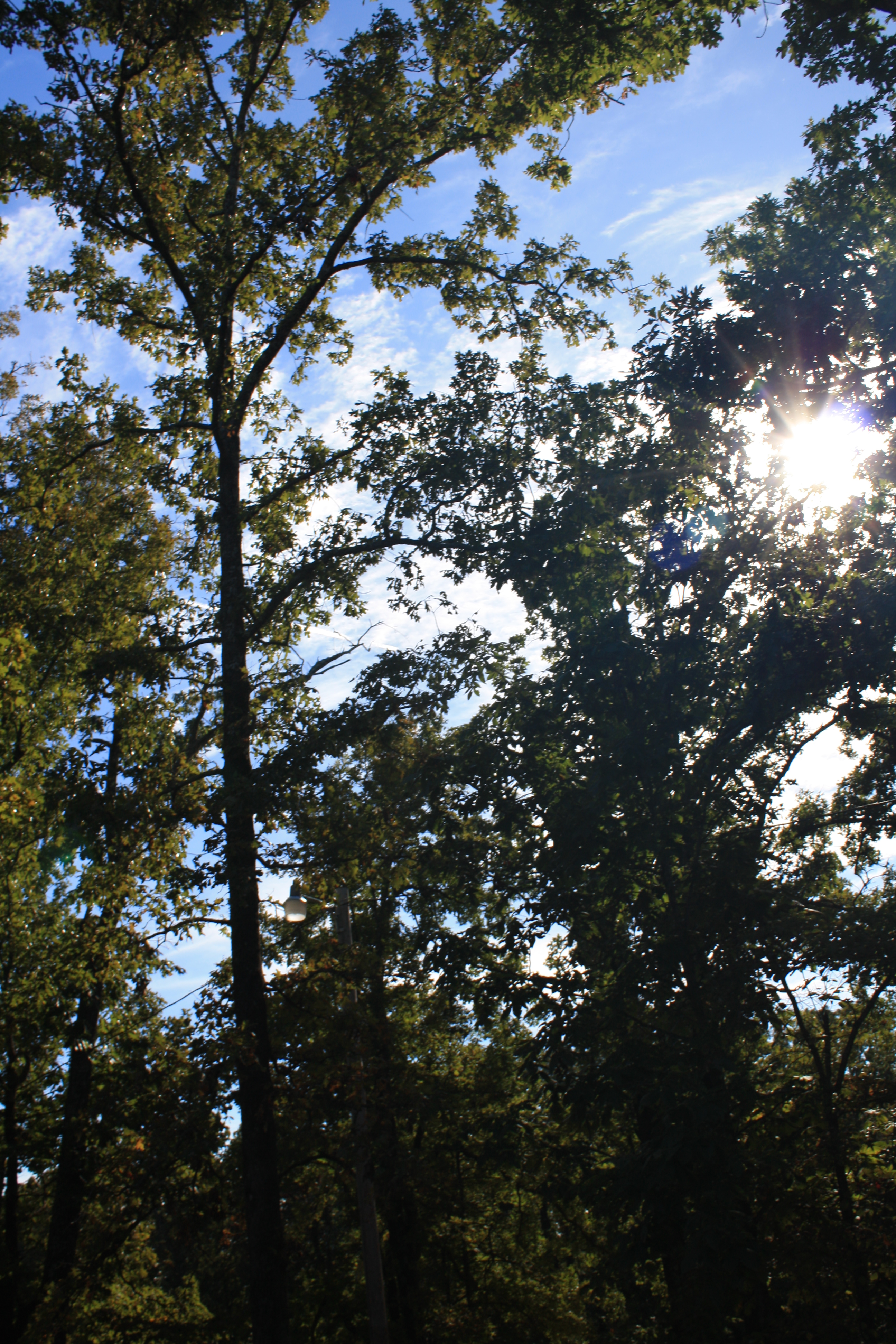
Tree-filtered sunlight
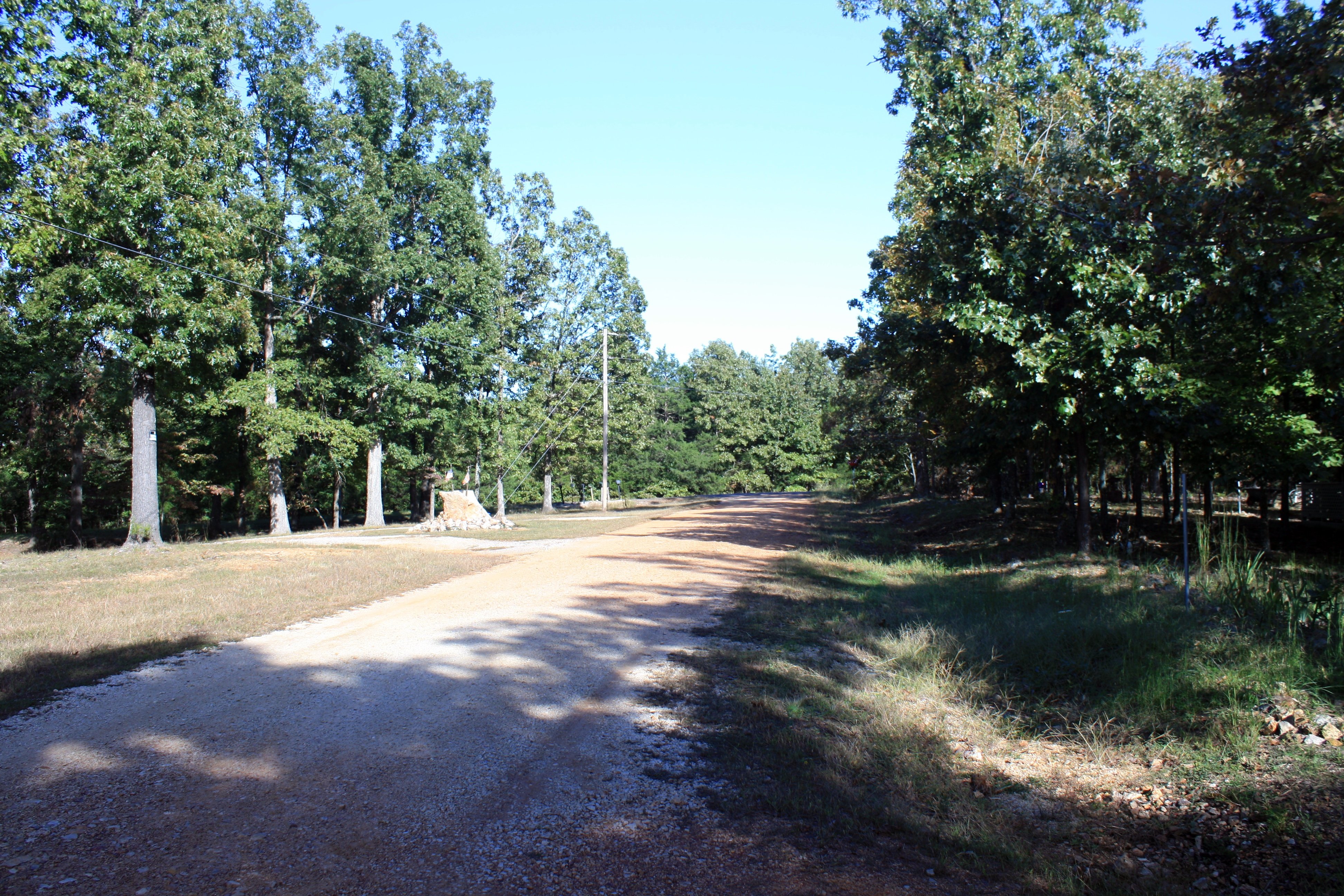
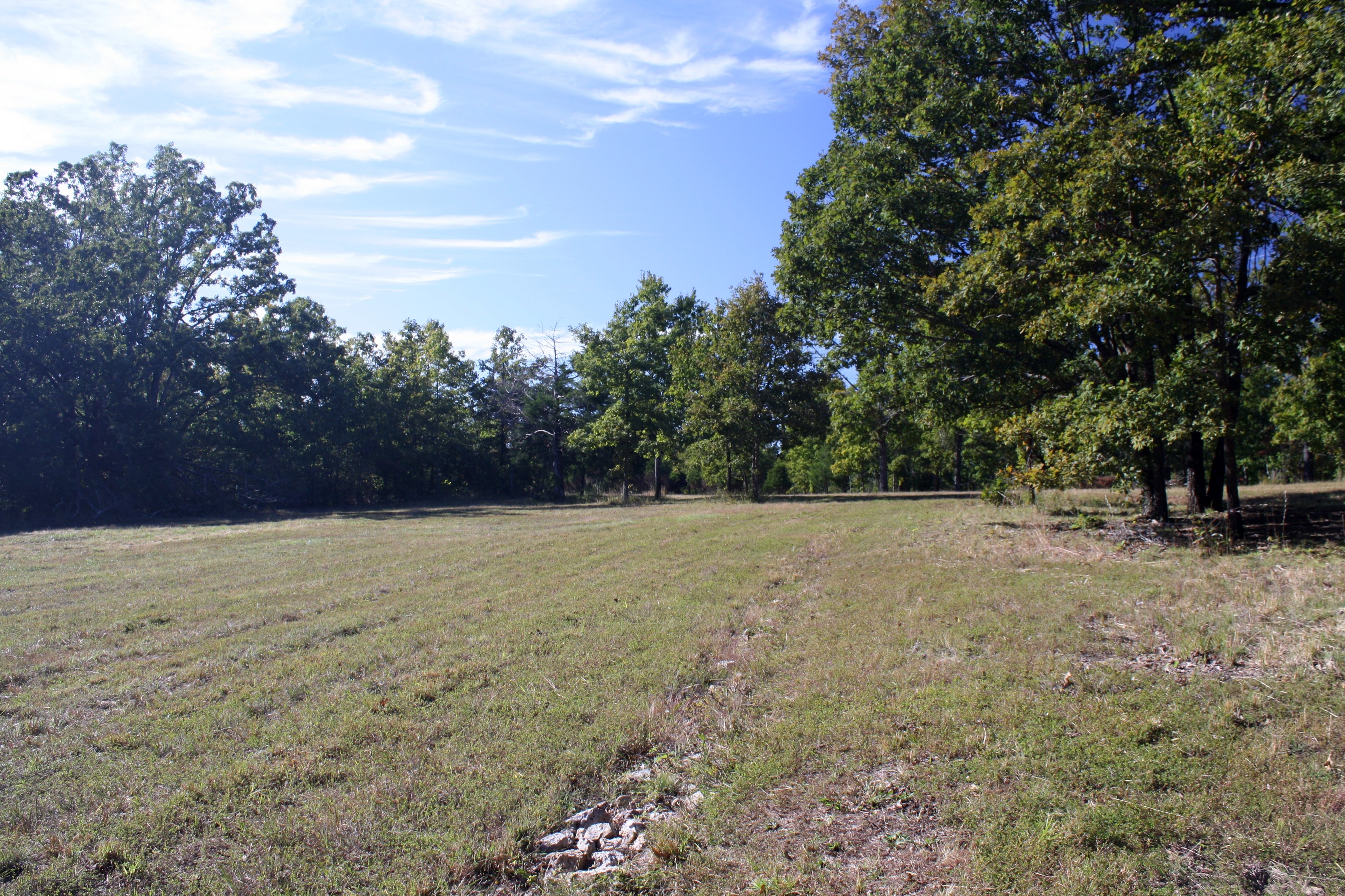
The road out front
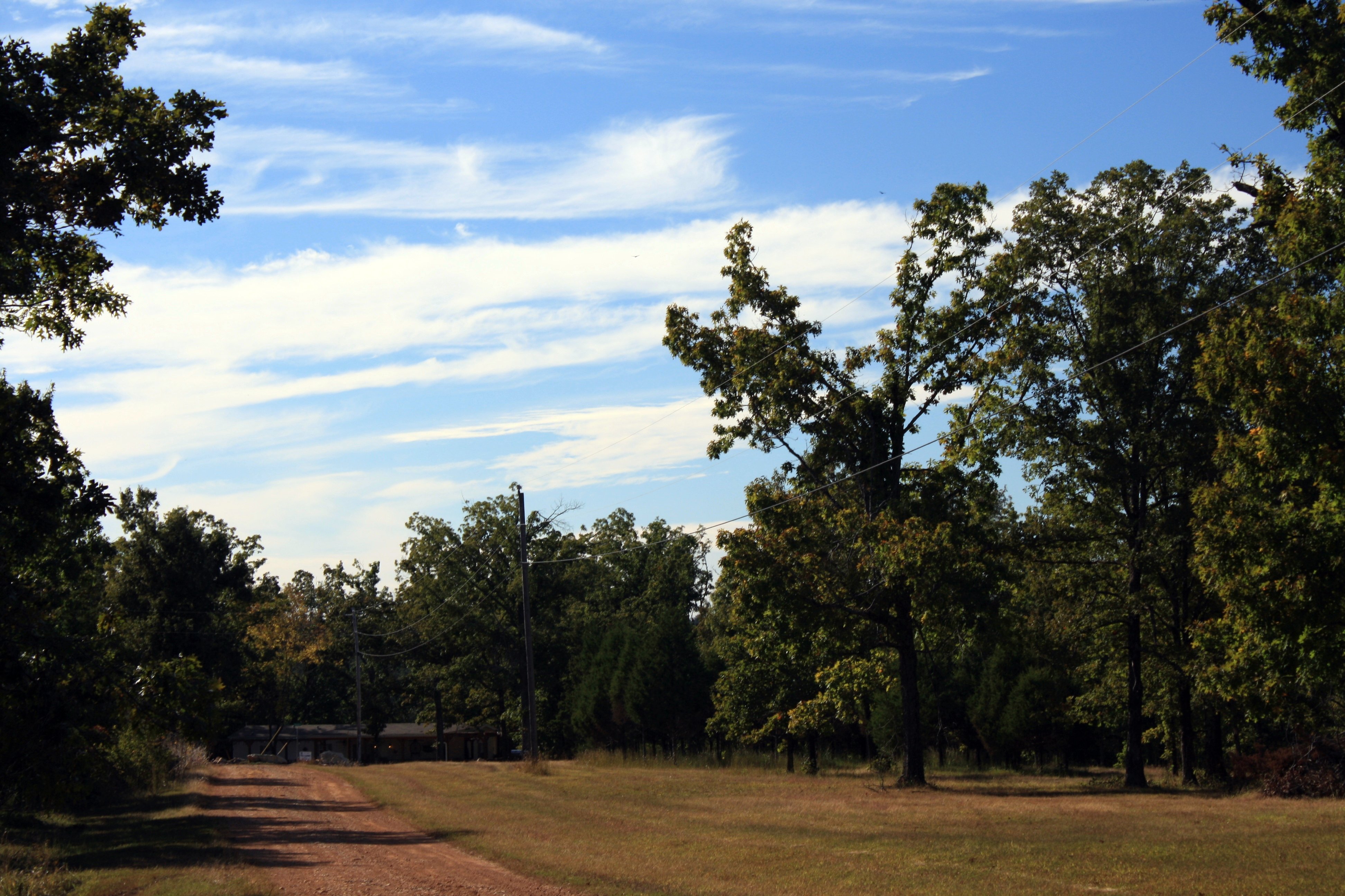
To the NW
Topographic Map of E Campground Rd, Evening Shade, AR, USA
Find elevation by address:

Places near E Campground Rd, Evening Shade, AR, USA:
150 E Campground Rd
148 E Campground Rd
148 E Campground Rd
148 E Campground Rd
Lave Creek Township
Richwoods Township
99 Park Cir
Evening Shade
Ash Flat
Piney Fork Township
Ballard
2204 E Diamond Lake Dr
102 W Red Barn Rd
29 B Johns Rd
21 Nameoki Dr
North Big Rock Township
AR-58, Poughkeepsie, AR, USA
Poughkeepsie
24 Highland Cove Dr, Highland, AR, USA
1005 S Edgewater Rd
Recent Searches:
- Elevation of Calais Dr, Del Mar, CA, USA
- Elevation of Placer Mine Ln, West Jordan, UT, USA
- Elevation of E 63rd St, New York, NY, USA
- Elevation of Elk City, OK, USA
- Elevation of Erika Dr, Windsor, CA, USA
- Elevation of Village Ln, Finleyville, PA, USA
- Elevation of 24 Oakland Rd #, Scotland, ON N0E 1R0, Canada
- Elevation of Deep Gap Farm Rd E, Mill Spring, NC, USA
- Elevation of Dog Leg Dr, Minden, NV, USA
- Elevation of Dog Leg Dr, Minden, NV, USA