Elevation of Evening Shade, AR, USA
Location: United States > Arkansas > Sharp County > Piney Fork Township >
Longitude: -91.619307
Latitude: 36.071737
Elevation: 140m / 459feet
Barometric Pressure: 100KPa
Elevation Map:
Satellite Map:
Related Photos:
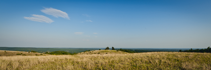
Buchanan Mountain-1
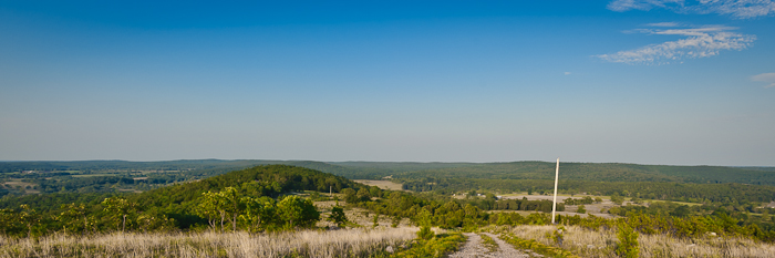
Buchanan Mountain-3
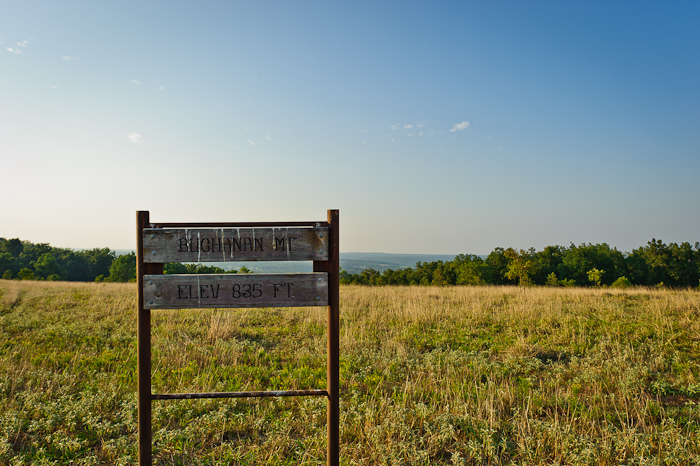
Buchanan Mountain-2
Scratching at the surface Pushing up the sternum Lesser sounds of man Murky hapless truths Overwhelm the quiet Voice Screaming for an ear Searching for a heart The Comforter left alone and cold Standing in the alley Pointing pilgrims home Toward a promis

gb cass

Lazy dog
Near Williford
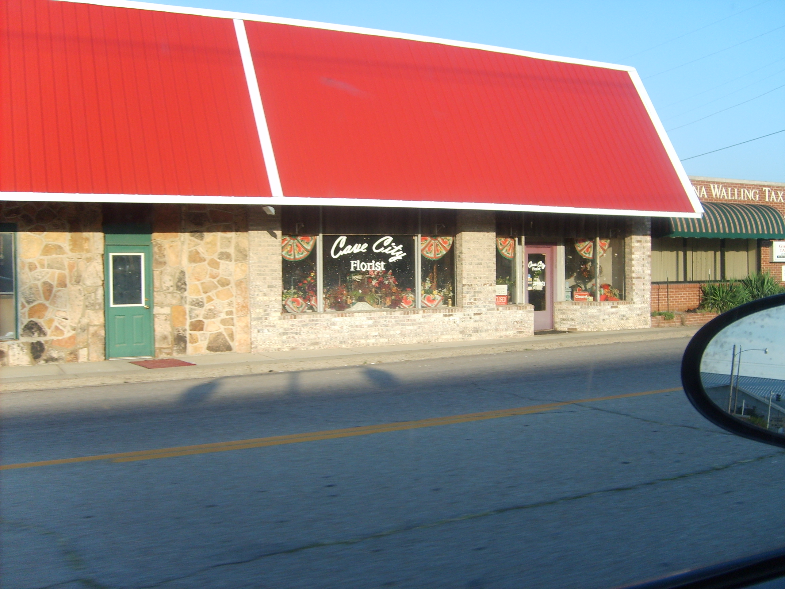
Buildings along the road in Arkansas
Buildings along the road in Arkansas
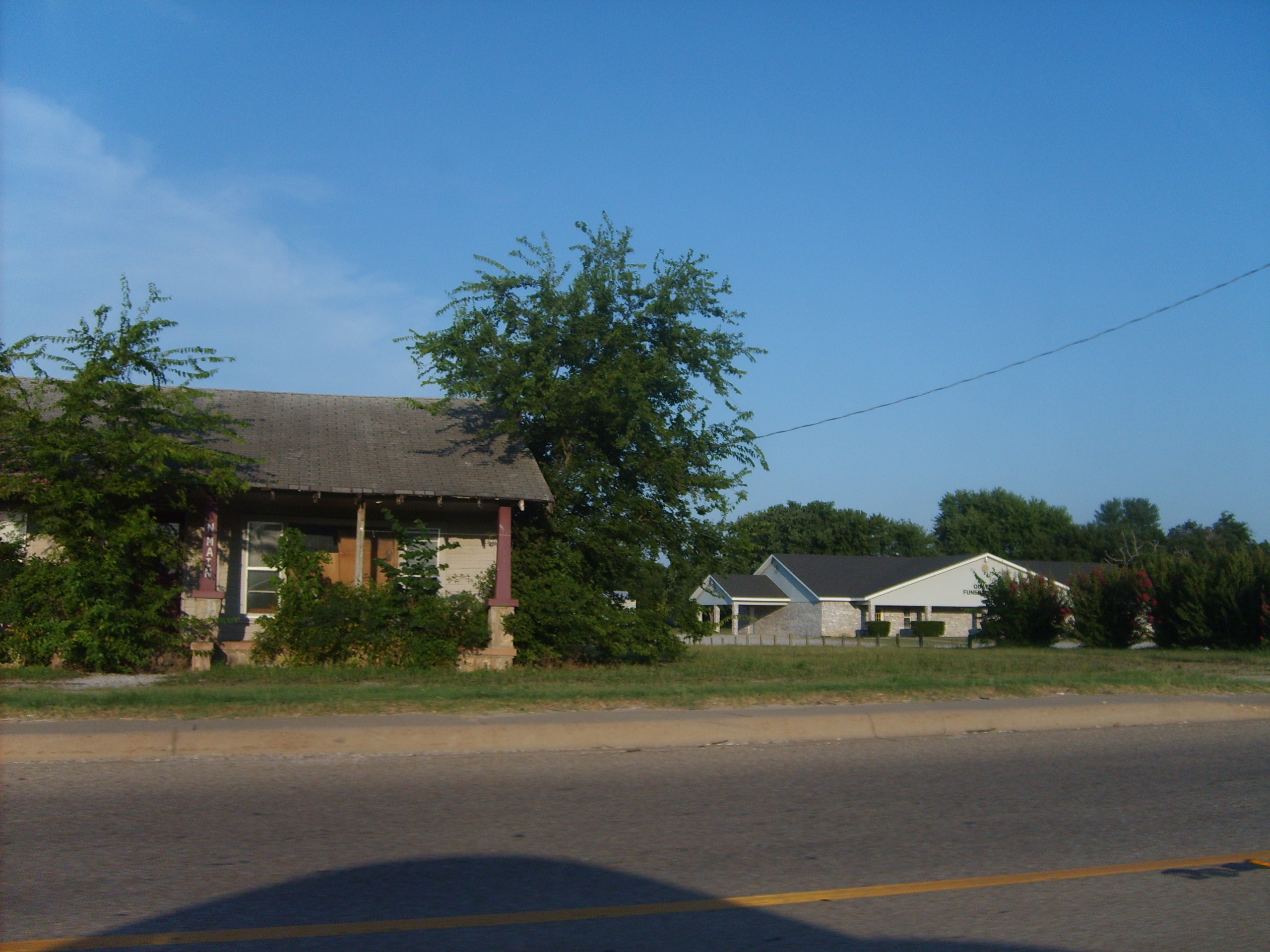
You know you're in the deep South when...
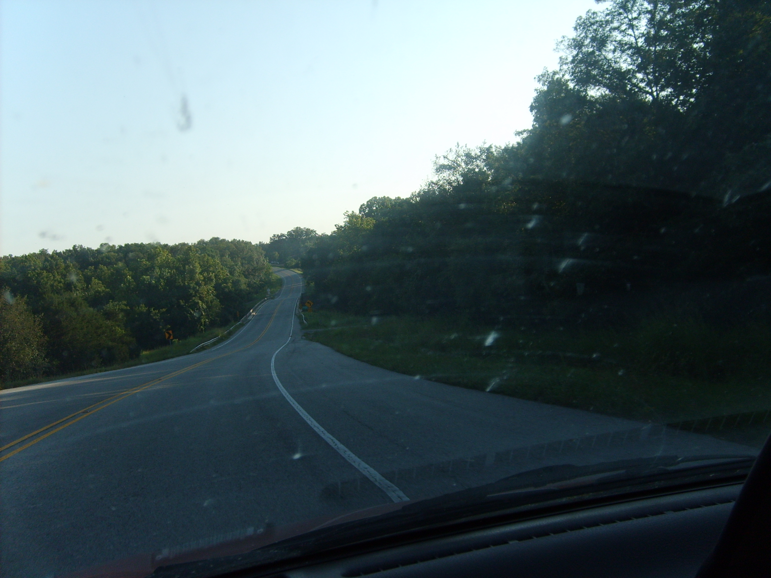
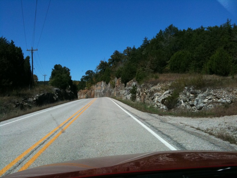
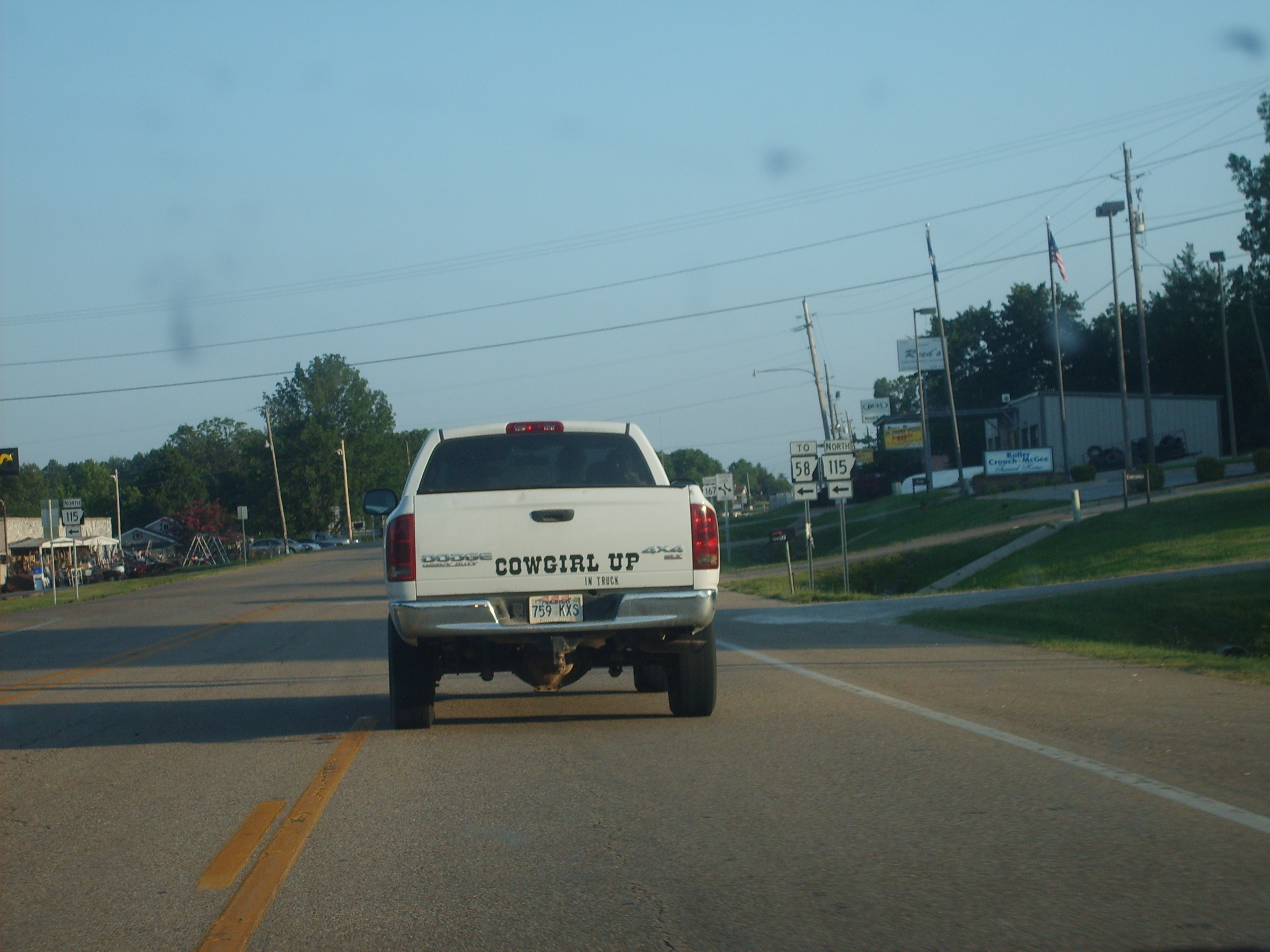
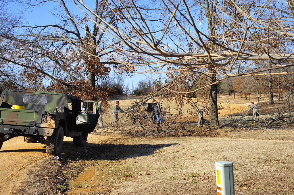
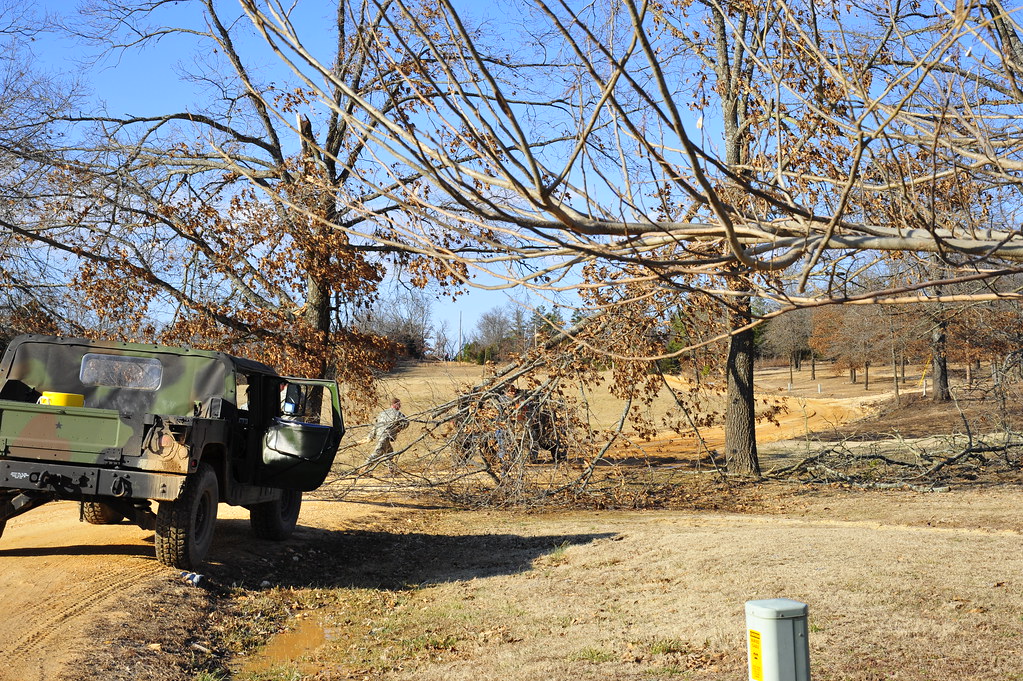
On the road in Arkansas
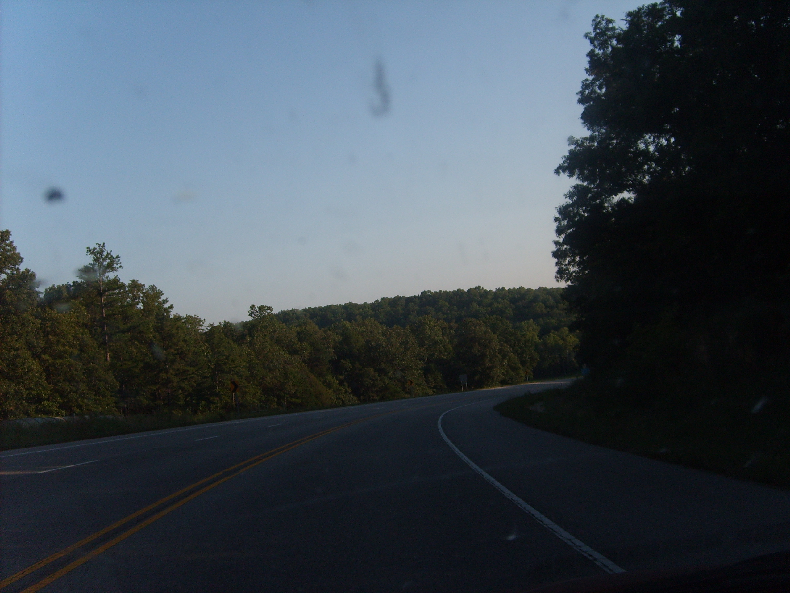
On the road in Arkansas
_NEJ4304_20090201_152456.JPG
_NEJ4303_20090201_151240.JPG
_NEJ4302_20090201_151200.JPG
_NEJ4301_20090201_151152.JPG
_NEJ4300_20090201_150112.JPG
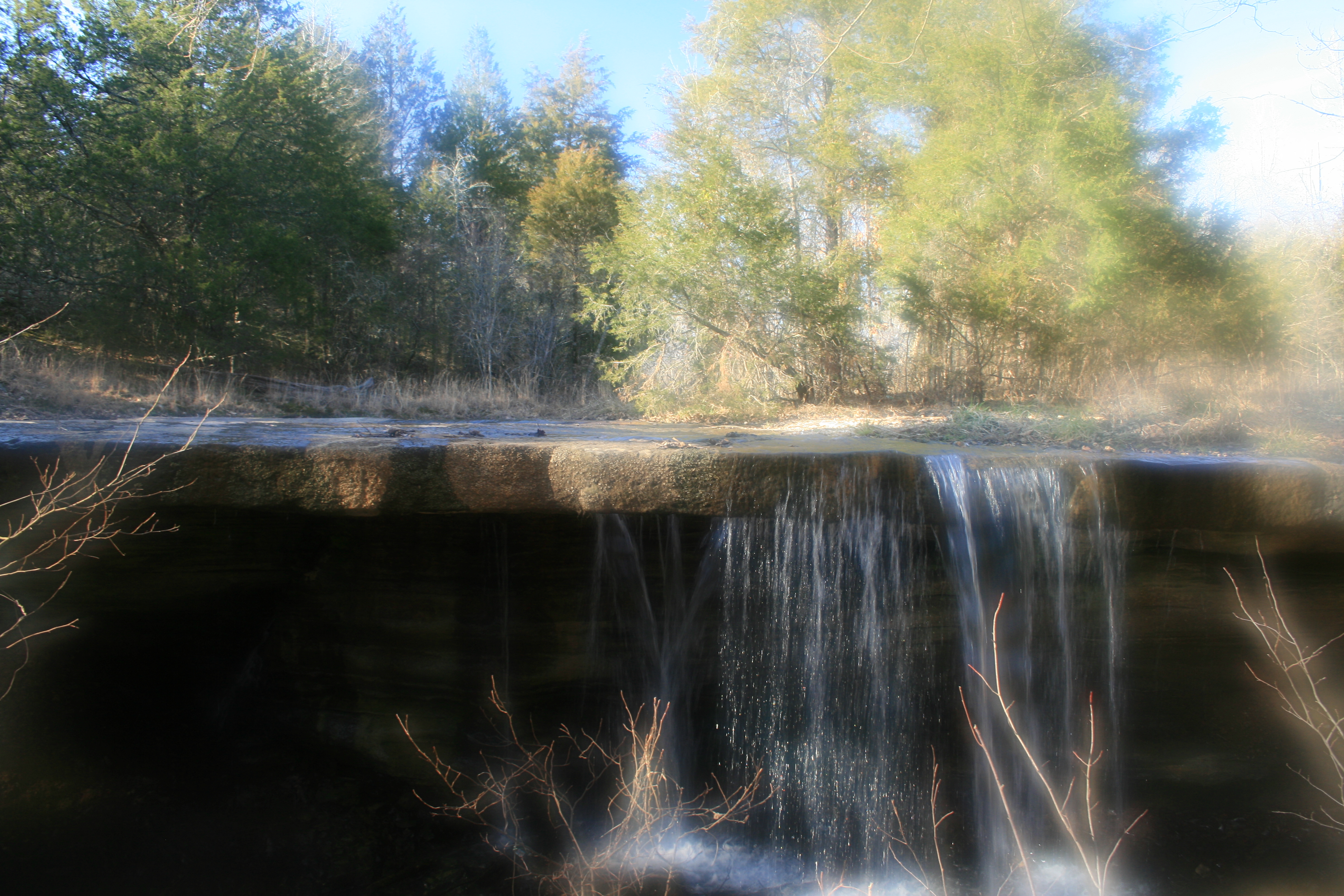
hole in the rock falls
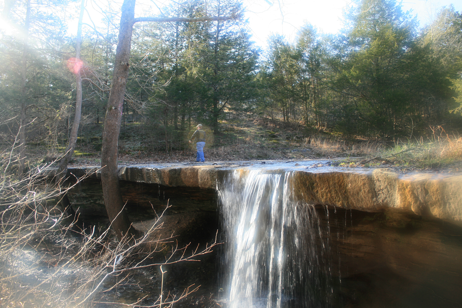
hole in the rock falls
Topographic Map of Evening Shade, AR, USA
Find elevation by address:

Places near Evening Shade, AR, USA:
99 Park Cir
Piney Fork Township
Lave Creek Township
102 W Red Barn Rd
148 E Campground Rd
148 E Campground Rd
148 E Campground Rd
150 E Campground Rd
Sidney Rd, Sidney, AR, USA
140 E Campground Rd
Sidney
East Sullivan Township
US-, Cave City, AR, USA
West Sullivan Township
Richwoods Township
North Big Rock Township
515 Laman St
515 Laman St
515 Laman St
500 Matlock Rd
Recent Searches:
- Elevation of E 63rd St, New York, NY, USA
- Elevation of Elk City, OK, USA
- Elevation of Erika Dr, Windsor, CA, USA
- Elevation of Village Ln, Finleyville, PA, USA
- Elevation of 24 Oakland Rd #, Scotland, ON N0E 1R0, Canada
- Elevation of Deep Gap Farm Rd E, Mill Spring, NC, USA
- Elevation of Dog Leg Dr, Minden, NV, USA
- Elevation of Dog Leg Dr, Minden, NV, USA
- Elevation of Kambingan Sa Pansol Atbp., Purok 7 Pansol, Candaba, Pampanga, Philippines
- Elevation of Pinewood Dr, New Bern, NC, USA