Elevation of Laman St, Cave City, AR, USA
Location: United States > Arkansas > Sharp County > Cave Township > Cave City >
Longitude: -91.555449
Latitude: 35.9496363
Elevation: 210m / 689feet
Barometric Pressure: 99KPa
Elevation Map:
Satellite Map:
Related Photos:
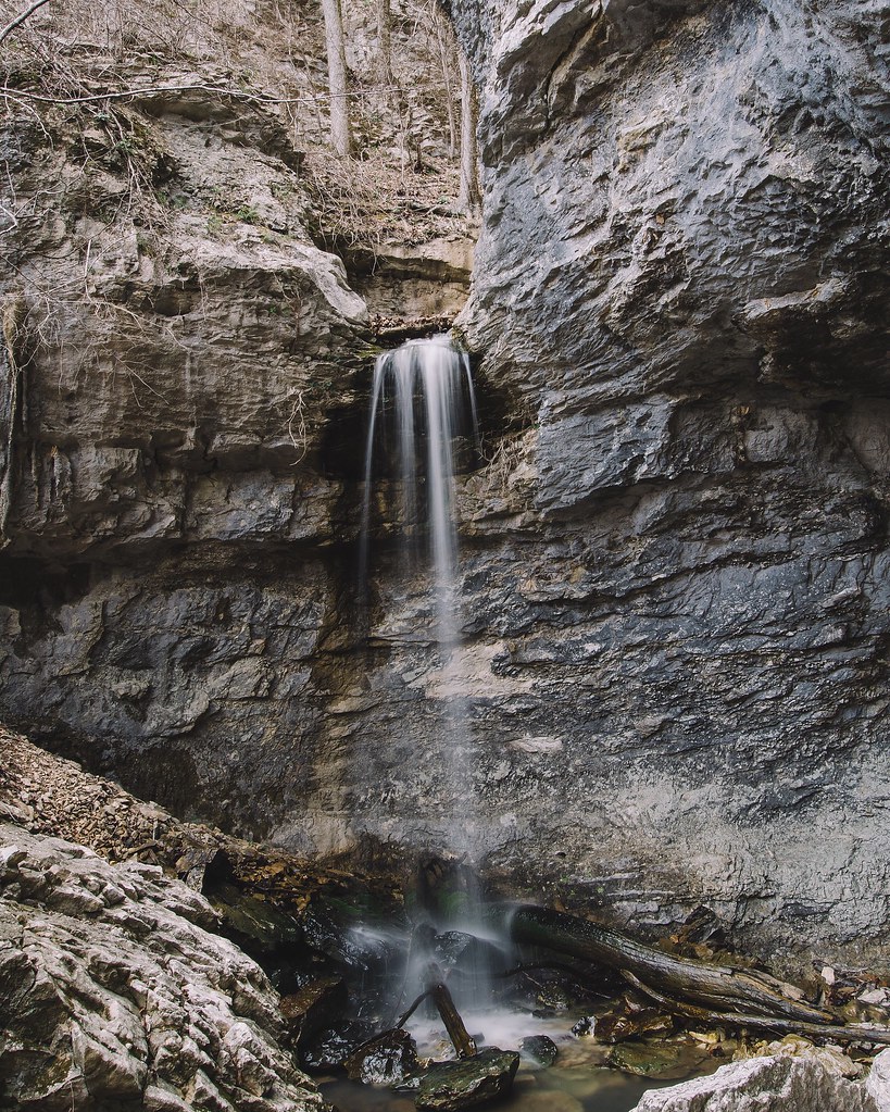
24' Lower Armadillo Falls, Lost Valley State Park, Arkansas

More Sunset Shots from my Desk
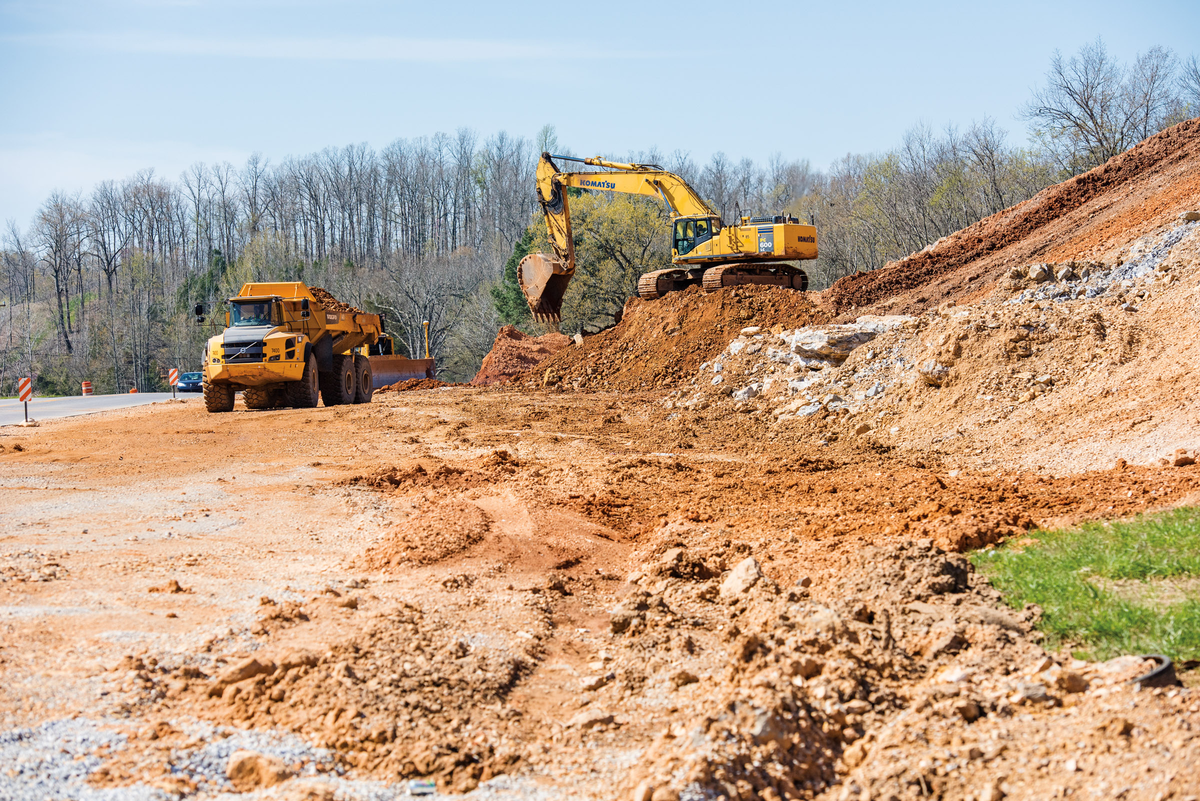
Hwy. 167 widening
Topographic Map of Laman St, Cave City, AR, USA
Find elevation by address:

Places near Laman St, Cave City, AR, USA:
515 Laman St
515 Laman St
500 Matlock Rd
Cave
Cave City
E Center St, Cave City, AR, USA
Cave Township
US-, Cave City, AR, USA
Barren Township
East Sullivan Township
1005 Sunset Ridge
102 W Red Barn Rd
671 Antioch Rd
West Sullivan Township
Sidney Rd, Sidney, AR, USA
Sidney
Scott Township
Big Creek Township
Copperhead Lane
Barren Fork Township
Recent Searches:
- Elevation of Jalan Senandin, Lutong, Miri, Sarawak, Malaysia
- Elevation of Bilohirs'k
- Elevation of 30 Oak Lawn Dr, Barkhamsted, CT, USA
- Elevation of Luther Road, Luther Rd, Auburn, CA, USA
- Elevation of Unnamed Road, Respublika Severnaya Osetiya — Alaniya, Russia
- Elevation of Verkhny Fiagdon, North Ossetia–Alania Republic, Russia
- Elevation of F. Viola Hiway, San Rafael, Bulacan, Philippines
- Elevation of Herbage Dr, Gulfport, MS, USA
- Elevation of Lilac Cir, Haldimand, ON N3W 2G9, Canada
- Elevation of Harrod Branch Road, Harrod Branch Rd, Kentucky, USA