Elevation of Ballard, Richwoods Township, AR, USA
Location: United States > Arkansas > Sharp County > Richwoods Township > Ash Flat >
Longitude: -91.668754
Latitude: 36.2350673
Elevation: 215m / 705feet
Barometric Pressure: 99KPa
Elevation Map:
Satellite Map:
Related Photos:

Driveway View
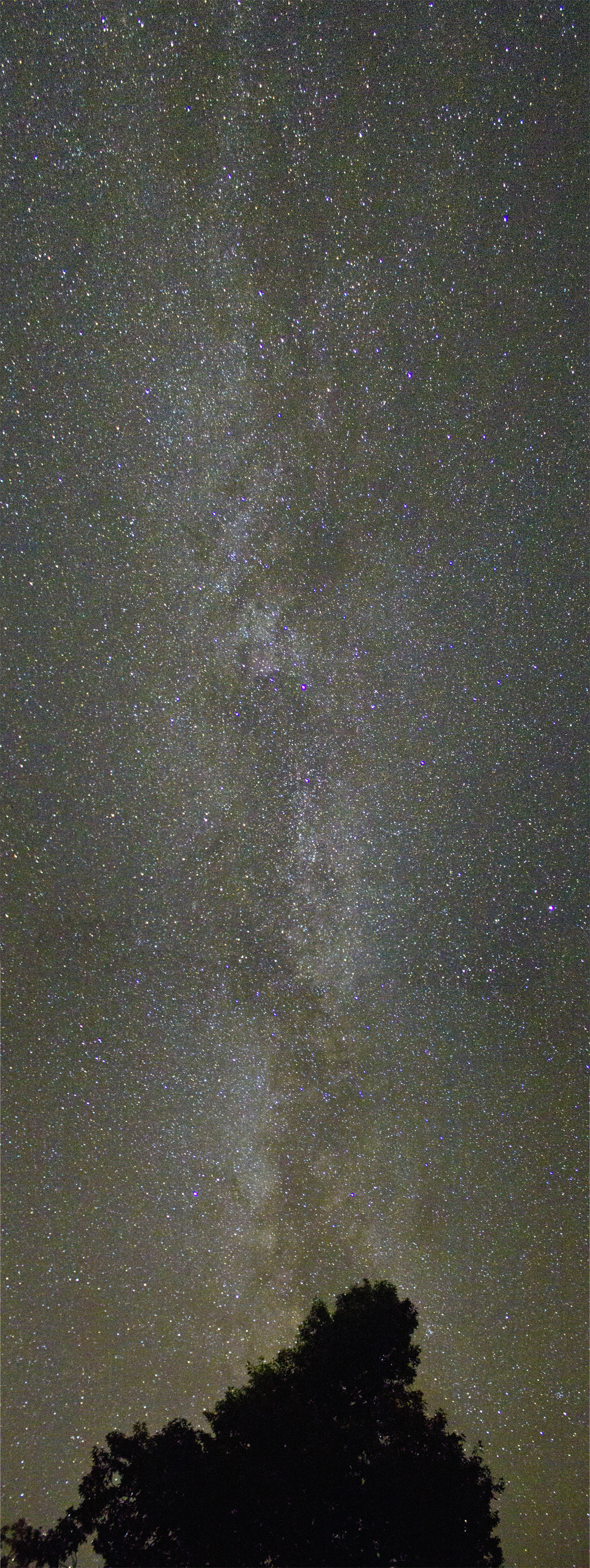
Milky Way

Sunset at Lake Thunderbird III
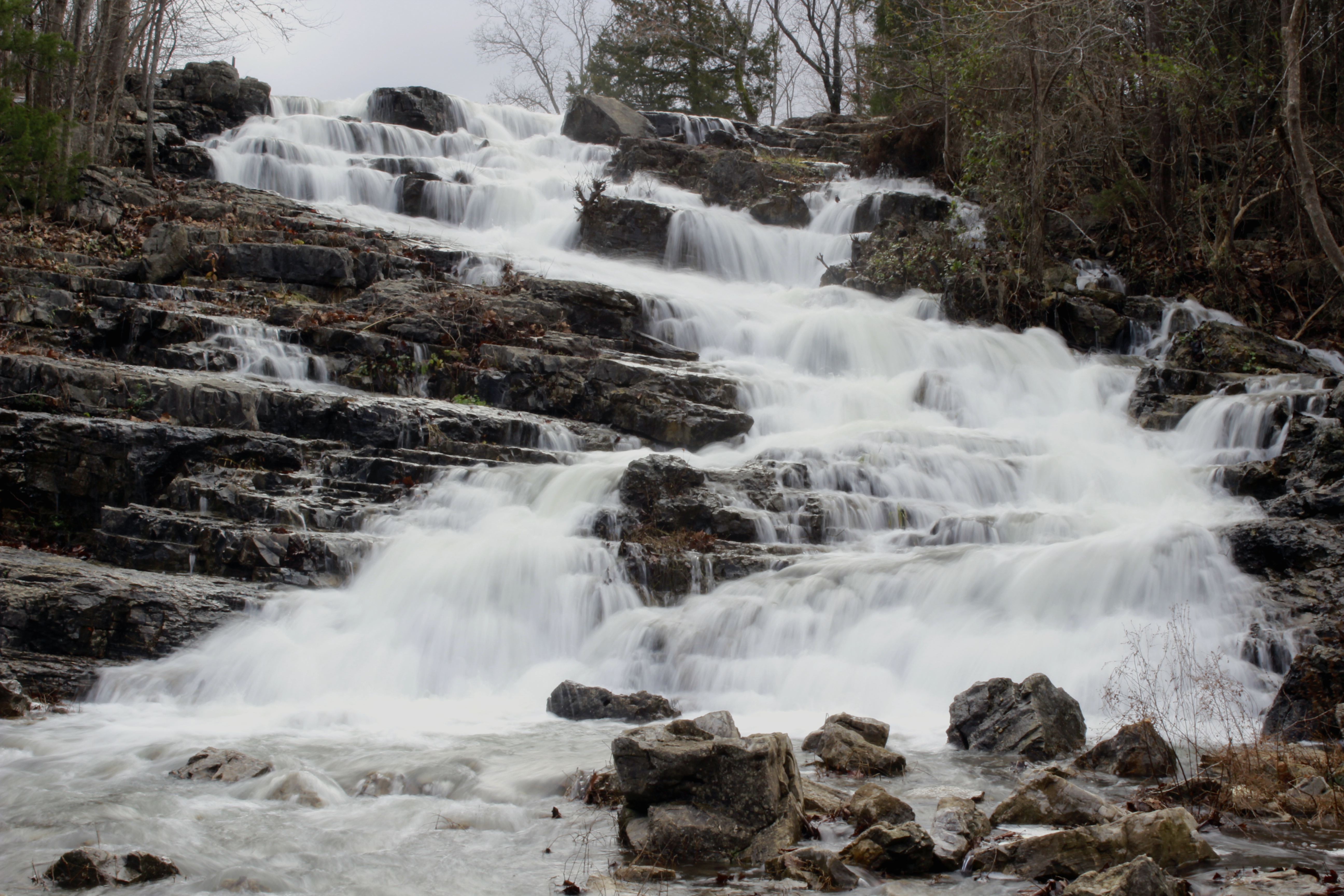
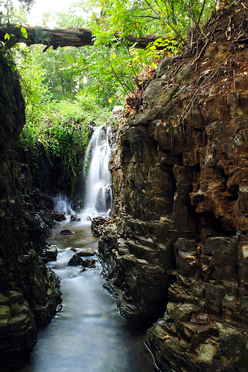
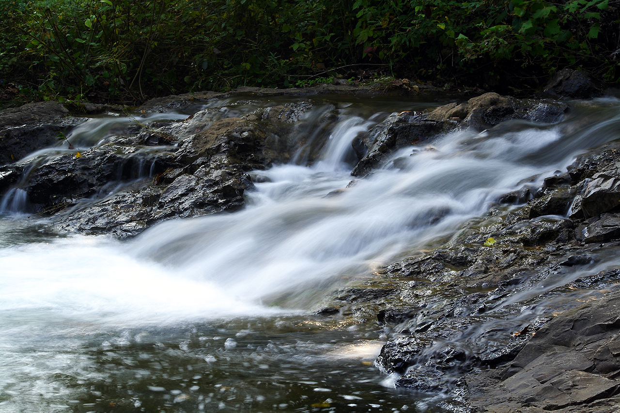
Cherokee Village Cascade
Rainy April Day

Fire Sky

6-1-2015
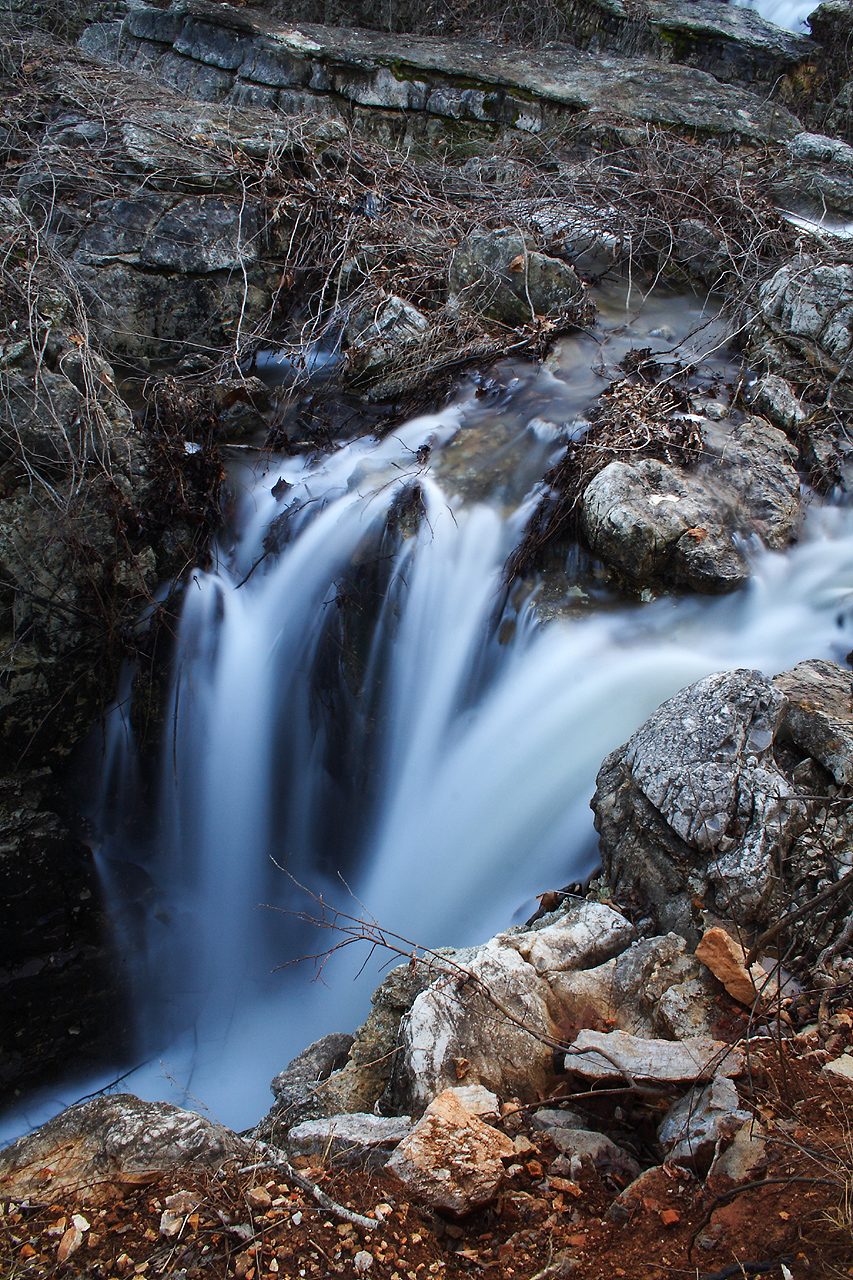
Flooded Falls II
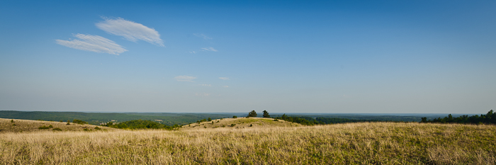
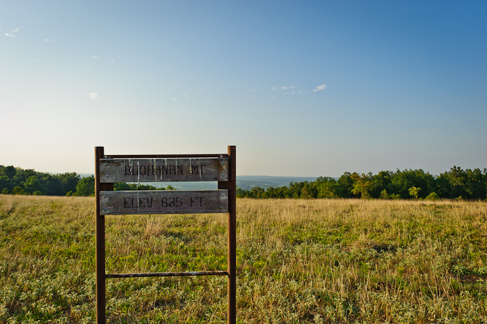
Buchanan Mountain-1
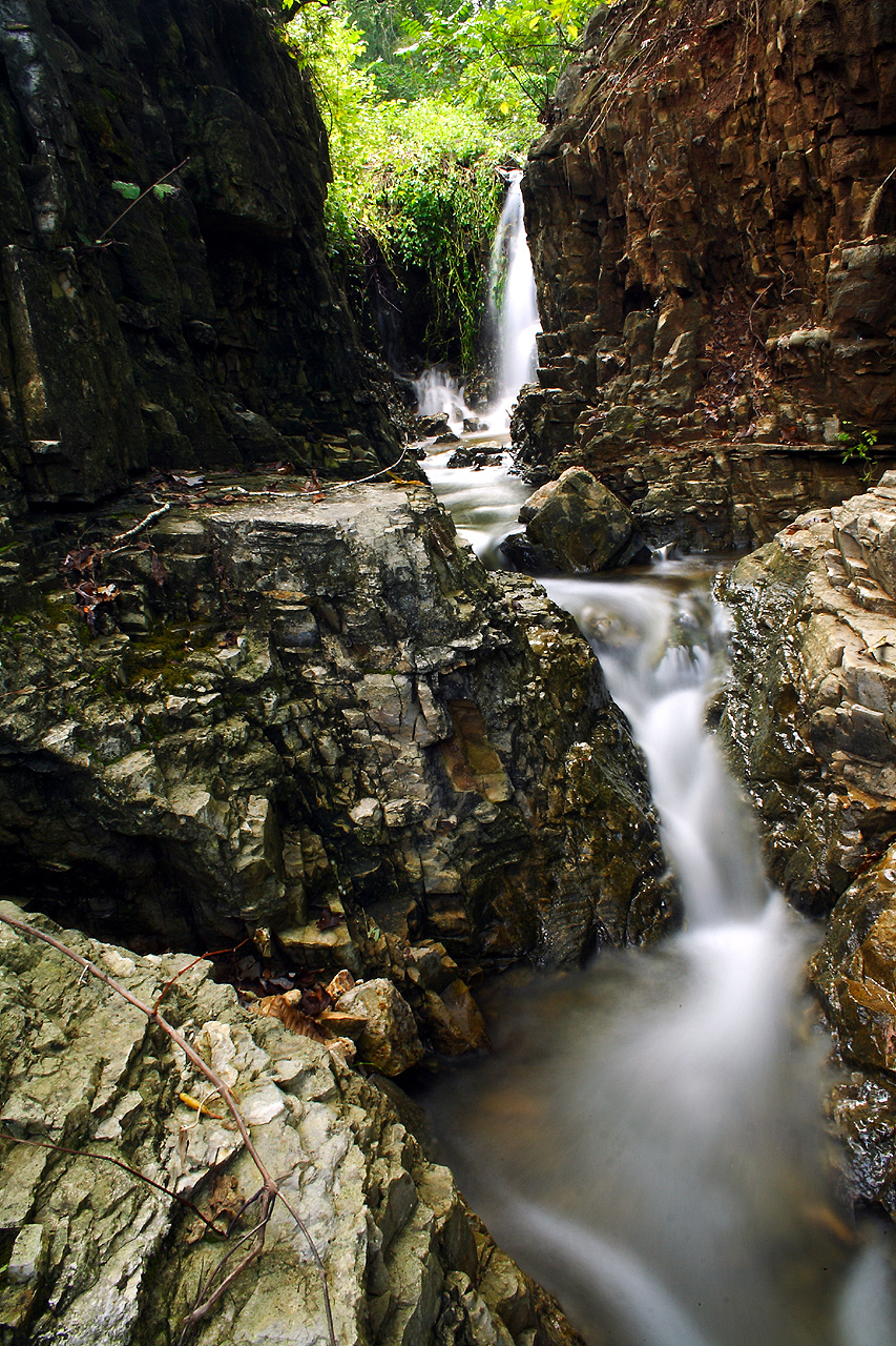
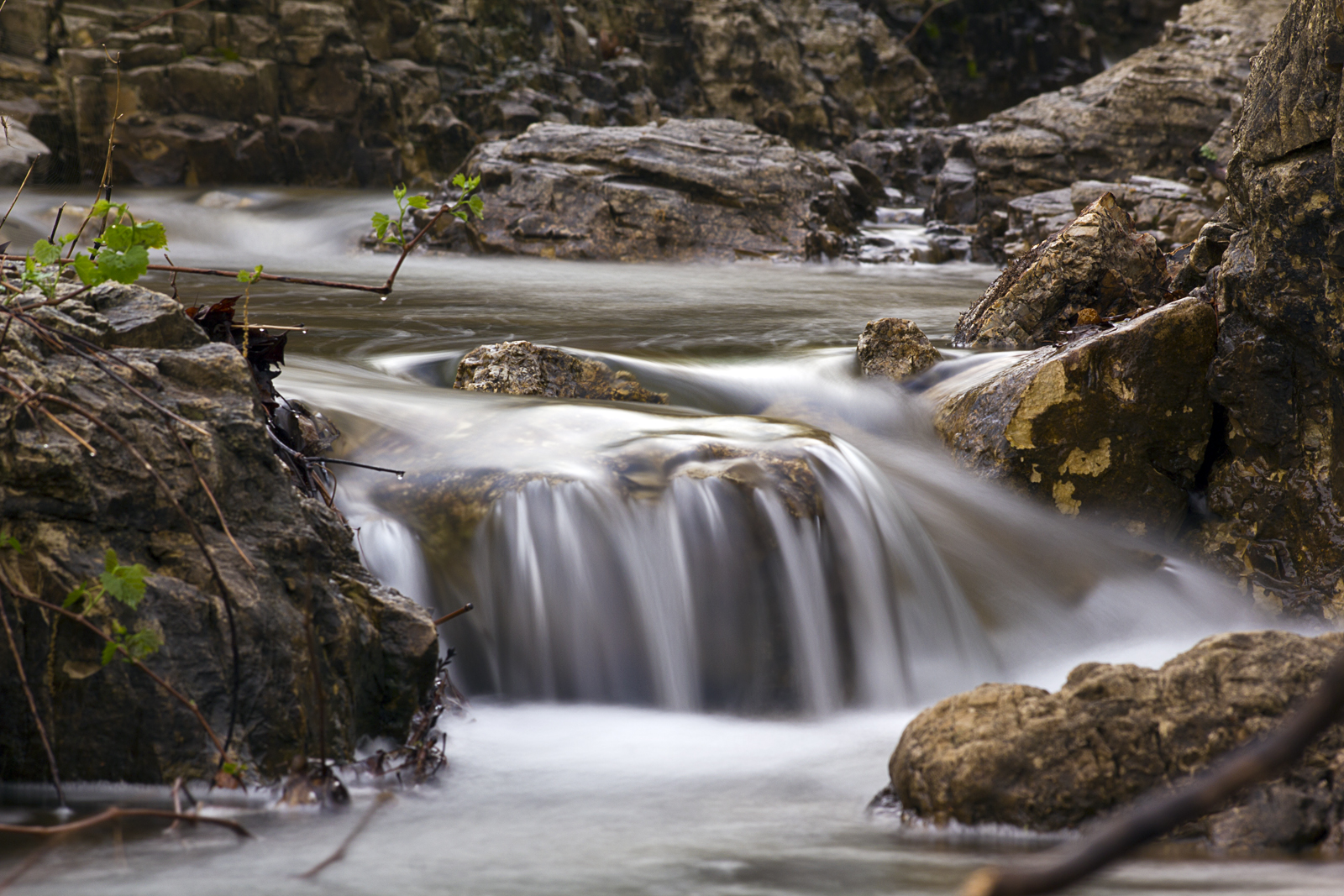
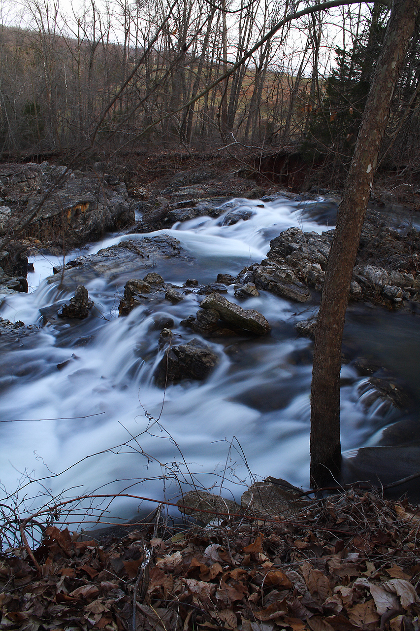
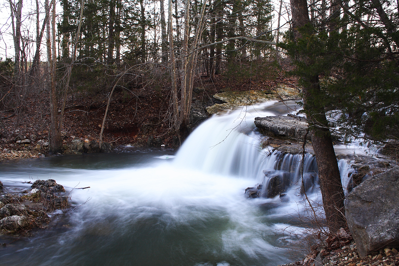
Cherokee Falls I
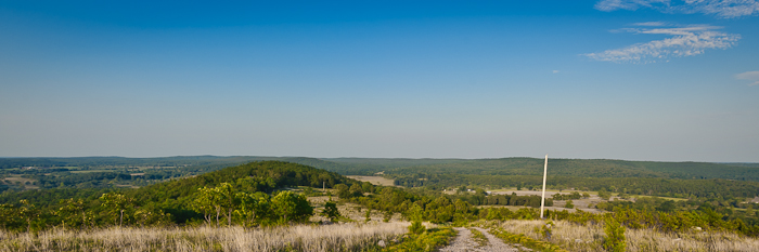
Buchanan Mountain-3
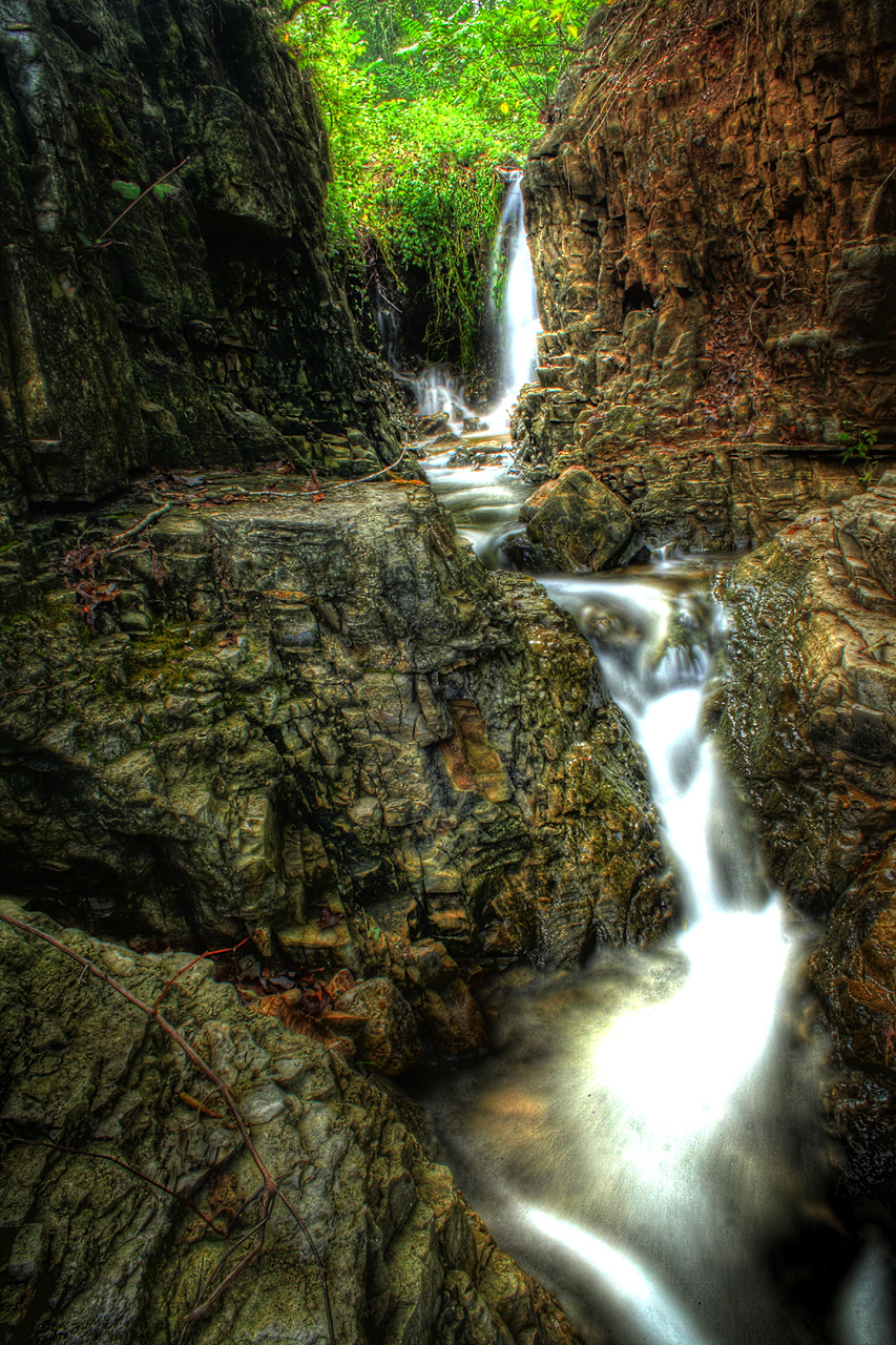
Cherokee Falls HDR I
Buchanan Mountain-2

Breaking Waves
Cherokee Falls II
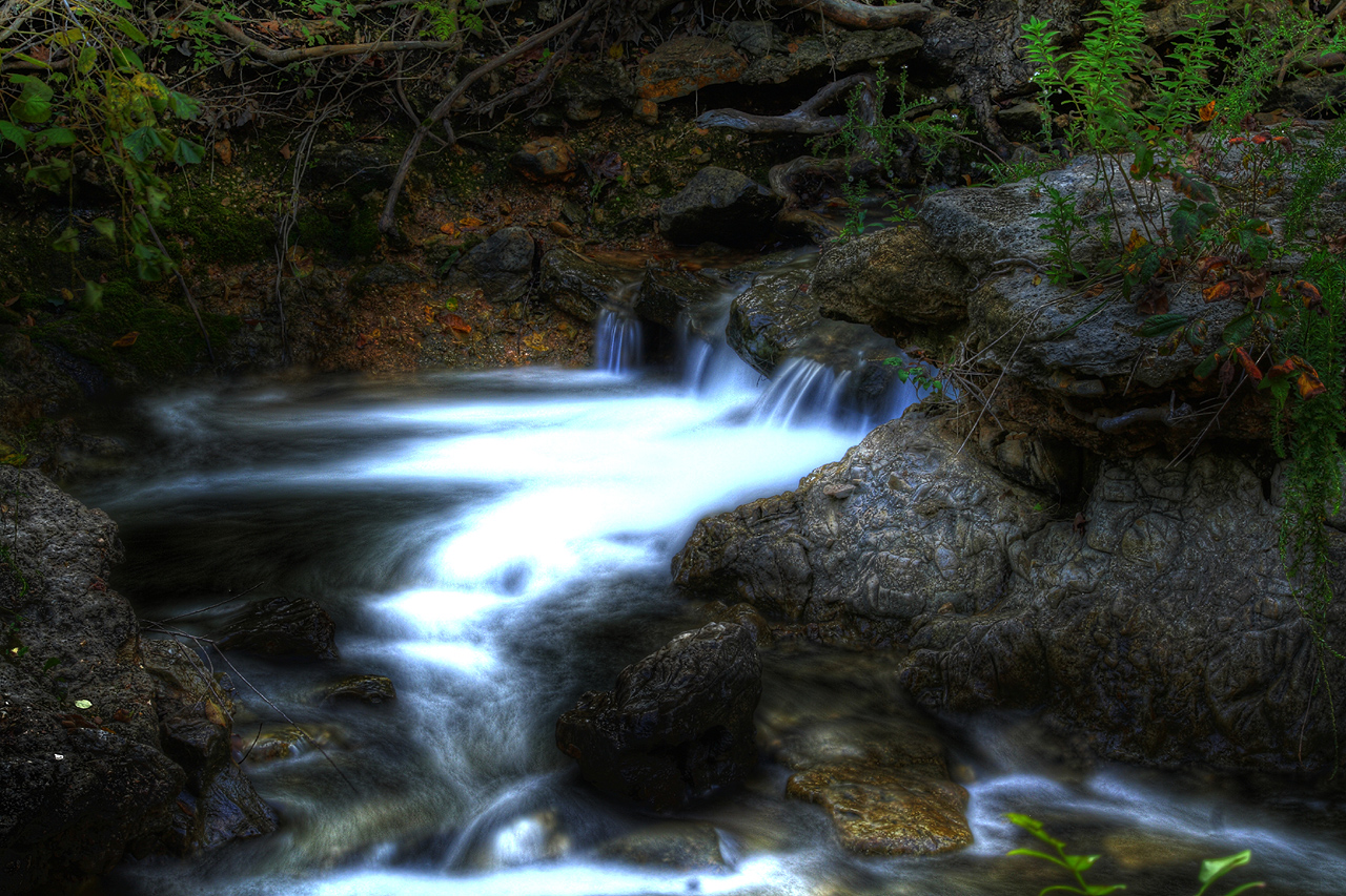
Cherokee Falls HDR II
Flooded Falls III
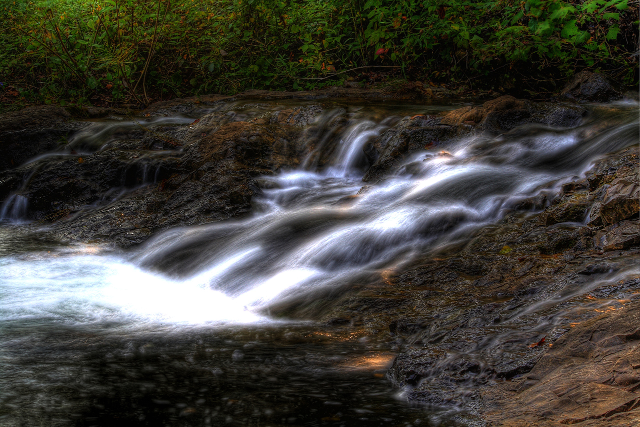
Cherokee Falls HDR III
Flooded Falls I
Cherokee Falls IV
6-1-2015 III
Topographic Map of Ballard, Richwoods Township, AR, USA
Find elevation by address:

Places near Ballard, Richwoods Township, AR, USA:
2204 E Diamond Lake Dr
Springfield Ave, Horseshoe Bend, AR, USA
Ash Flat
Jefferson Township
1005 S Edgewater Rd
1000 Wisconsin Ave
Horseshoe Bend, AR, USA
Pleasant Ridge Township
Heart Rd, Glencoe, AR, USA
67 Pinal Cir
21 Nameoki Dr
AR-, Mammoth Spring, AR, USA
68 Cherokee Rd
29 B Johns Rd
Highland
9 Navajo Trce
24 Highland Cove Dr, Highland, AR, USA
Cherokee Township
Highland Township
21 Arrowhead Dr
Recent Searches:
- Elevation of Zu den Ihlowbergen, Althüttendorf, Germany
- Elevation of Badaber, Peshawar, Khyber Pakhtunkhwa, Pakistan
- Elevation of SE Heron Loop, Lincoln City, OR, USA
- Elevation of Slanický ostrov, 01 Námestovo, Slovakia
- Elevation of Spaceport America, Co Rd A, Truth or Consequences, NM, USA
- Elevation of Warwick, RI, USA
- Elevation of Fern Rd, Whitmore, CA, USA
- Elevation of 62 Abbey St, Marshfield, MA, USA
- Elevation of Fernwood, Bradenton, FL, USA
- Elevation of Felindre, Swansea SA5 7LU, UK