Elevation of Cave Township, AR, USA
Location: United States > Arkansas > Sharp County >
Longitude: -91.530546
Latitude: 35.9599473
Elevation: 182m / 597feet
Barometric Pressure: 99KPa
Elevation Map:
Satellite Map:
Related Photos:
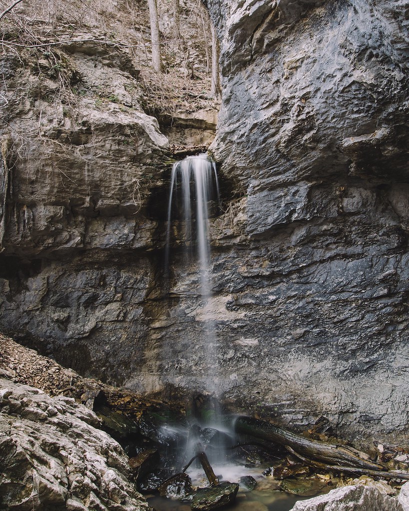
24' Lower Armadillo Falls, Lost Valley State Park, Arkansas
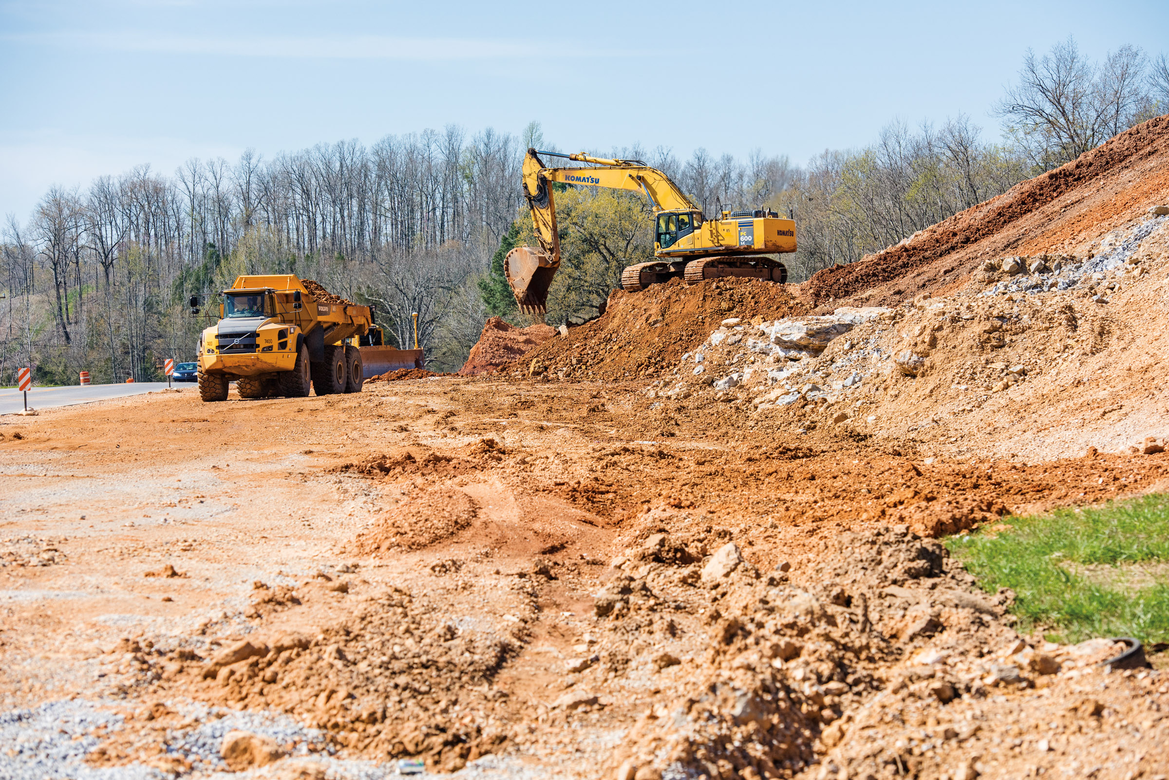
Hwy. 167 widening

Chilling at Adam's house!

Scratching at the surface Pushing up the sternum Lesser sounds of man Murky hapless truths Overwhelm the quiet Voice Screaming for an ear Searching for a heart The Comforter left alone and cold Standing in the alley Pointing pilgrims home Toward a promis
Topographic Map of Cave Township, AR, USA
Find elevation by address:

Places in Cave Township, AR, USA:
Places near Cave Township, AR, USA:
Cave
E Center St, Cave City, AR, USA
Cave City
500 Matlock Rd
515 Laman St
515 Laman St
515 Laman St
US-, Cave City, AR, USA
Barren Township
1005 Sunset Ridge
102 W Red Barn Rd
East Sullivan Township
671 Antioch Rd
Scott Township
Big Creek Township
Copperhead Lane
West Sullivan Township
Sidney Rd, Sidney, AR, USA
Sidney
Barren Fork Township
Recent Searches:
- Elevation of Tenjo, Cundinamarca, Colombia
- Elevation of Côte-des-Neiges, Montreal, QC H4A 3J6, Canada
- Elevation of Bobcat Dr, Helena, MT, USA
- Elevation of Zu den Ihlowbergen, Althüttendorf, Germany
- Elevation of Badaber, Peshawar, Khyber Pakhtunkhwa, Pakistan
- Elevation of SE Heron Loop, Lincoln City, OR, USA
- Elevation of Slanický ostrov, 01 Námestovo, Slovakia
- Elevation of Spaceport America, Co Rd A, Truth or Consequences, NM, USA
- Elevation of Warwick, RI, USA
- Elevation of Fern Rd, Whitmore, CA, USA