Elevation of Cave, Cave City, AR, USA
Location: United States > Arkansas > Sharp County > Cave Township > Cave City >
Longitude: -91.547914
Latitude: 35.942709
Elevation: 205m / 673feet
Barometric Pressure: 99KPa
Elevation Map:
Satellite Map:
Related Photos:

Nature 3G
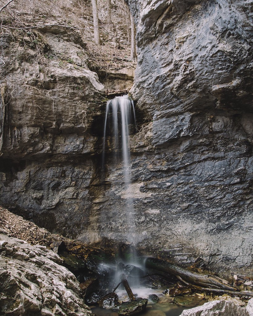
24' Lower Armadillo Falls, Lost Valley State Park, Arkansas
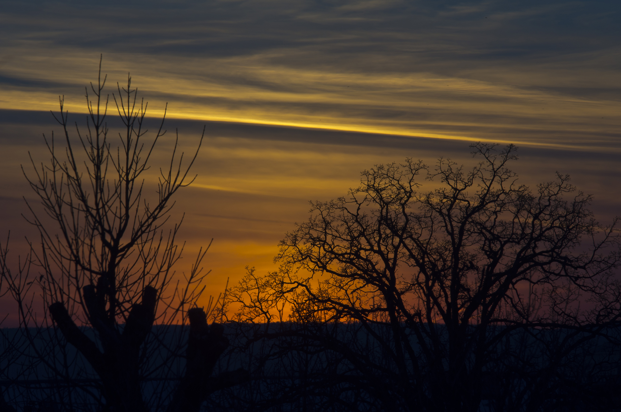
More Sunset Shots from my Desk
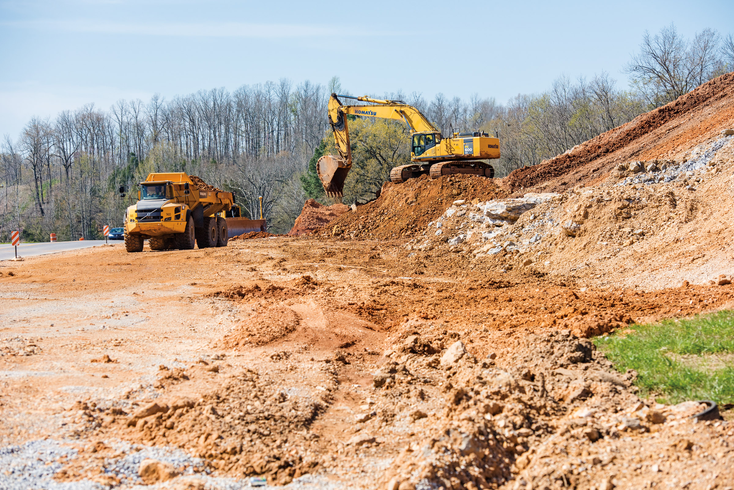
Hwy. 167 widening
Topographic Map of Cave, Cave City, AR, USA
Find elevation by address:

Places near Cave, Cave City, AR, USA:
Cave City
E Center St, Cave City, AR, USA
500 Matlock Rd
515 Laman St
515 Laman St
515 Laman St
Cave Township
Barren Township
US-, Cave City, AR, USA
1005 Sunset Ridge
East Sullivan Township
671 Antioch Rd
102 W Red Barn Rd
West Sullivan Township
Scott Township
Sidney Rd, Sidney, AR, USA
Sidney
Copperhead Lane
Big Creek Township
Barren Fork Township
Recent Searches:
- Elevation of W Granada St, Tampa, FL, USA
- Elevation of Pykes Down, Ivybridge PL21 0BY, UK
- Elevation of Jalan Senandin, Lutong, Miri, Sarawak, Malaysia
- Elevation of Bilohirs'k
- Elevation of 30 Oak Lawn Dr, Barkhamsted, CT, USA
- Elevation of Luther Road, Luther Rd, Auburn, CA, USA
- Elevation of Unnamed Road, Respublika Severnaya Osetiya — Alaniya, Russia
- Elevation of Verkhny Fiagdon, North Ossetia–Alania Republic, Russia
- Elevation of F. Viola Hiway, San Rafael, Bulacan, Philippines
- Elevation of Herbage Dr, Gulfport, MS, USA