Elevation of E Center St, Cave City, AR, USA
Location: United States > Arkansas > Sharp County > Cave Township > Cave City >
Longitude: -91.547753
Latitude: 35.941544
Elevation: 207m / 679feet
Barometric Pressure: 99KPa
Elevation Map:
Satellite Map:
Related Photos:

Nature 3G
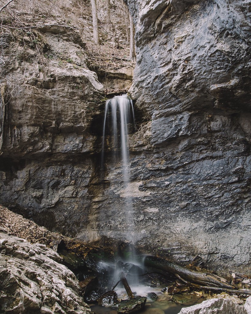
24' Lower Armadillo Falls, Lost Valley State Park, Arkansas
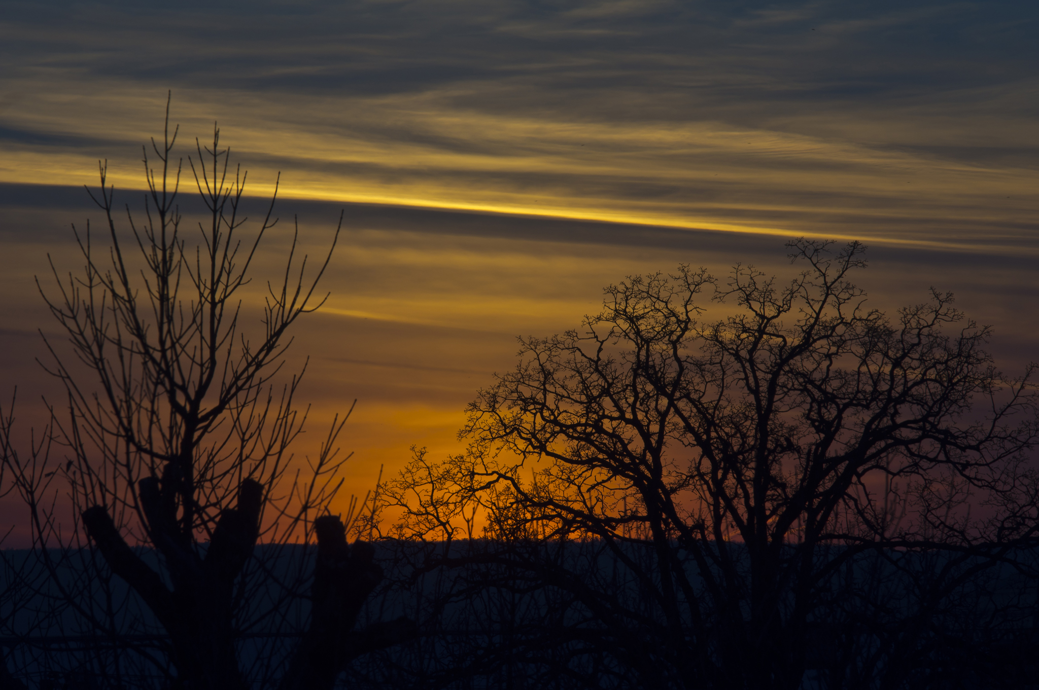
More Sunset Shots from my Desk
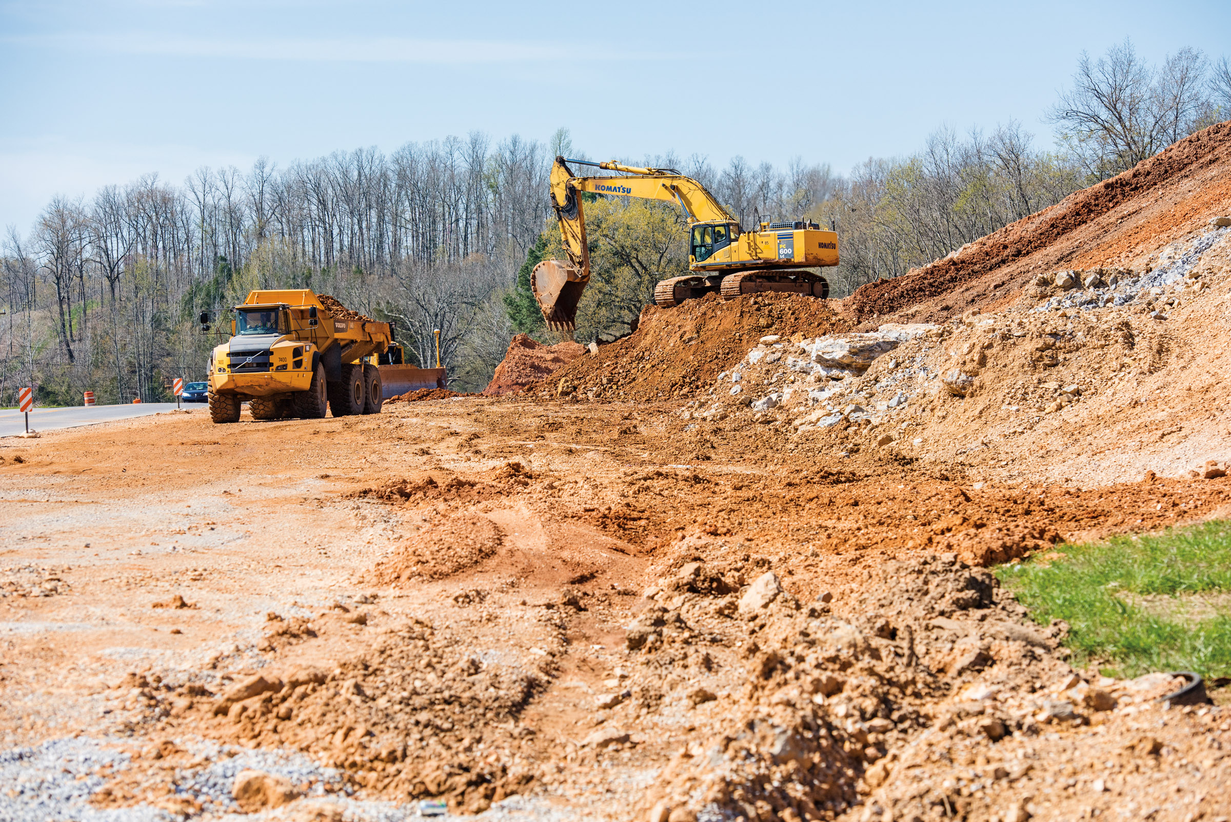
Hwy. 167 widening
Topographic Map of E Center St, Cave City, AR, USA
Find elevation by address:

Places near E Center St, Cave City, AR, USA:
Cave City
Cave
500 Matlock Rd
515 Laman St
515 Laman St
515 Laman St
Cave Township
Barren Township
US-, Cave City, AR, USA
1005 Sunset Ridge
East Sullivan Township
671 Antioch Rd
102 W Red Barn Rd
West Sullivan Township
Scott Township
Sidney Rd, Sidney, AR, USA
Sidney
Copperhead Lane
Big Creek Township
Barren Fork Township
Recent Searches:
- Elevation of Slanický ostrov, 01 Námestovo, Slovakia
- Elevation of Spaceport America, Co Rd A, Truth or Consequences, NM, USA
- Elevation of Warwick, RI, USA
- Elevation of Fern Rd, Whitmore, CA, USA
- Elevation of 62 Abbey St, Marshfield, MA, USA
- Elevation of Fernwood, Bradenton, FL, USA
- Elevation of Felindre, Swansea SA5 7LU, UK
- Elevation of Leyte Industrial Development Estate, Isabel, Leyte, Philippines
- Elevation of W Granada St, Tampa, FL, USA
- Elevation of Pykes Down, Ivybridge PL21 0BY, UK